Elevation of Wahoo, NE, USA
Location: United States > Nebraska > Saunders County >
Longitude: -96.621260
Latitude: 41.2115023
Elevation: 365m / 1198feet
Barometric Pressure: 97KPa
Elevation Map:
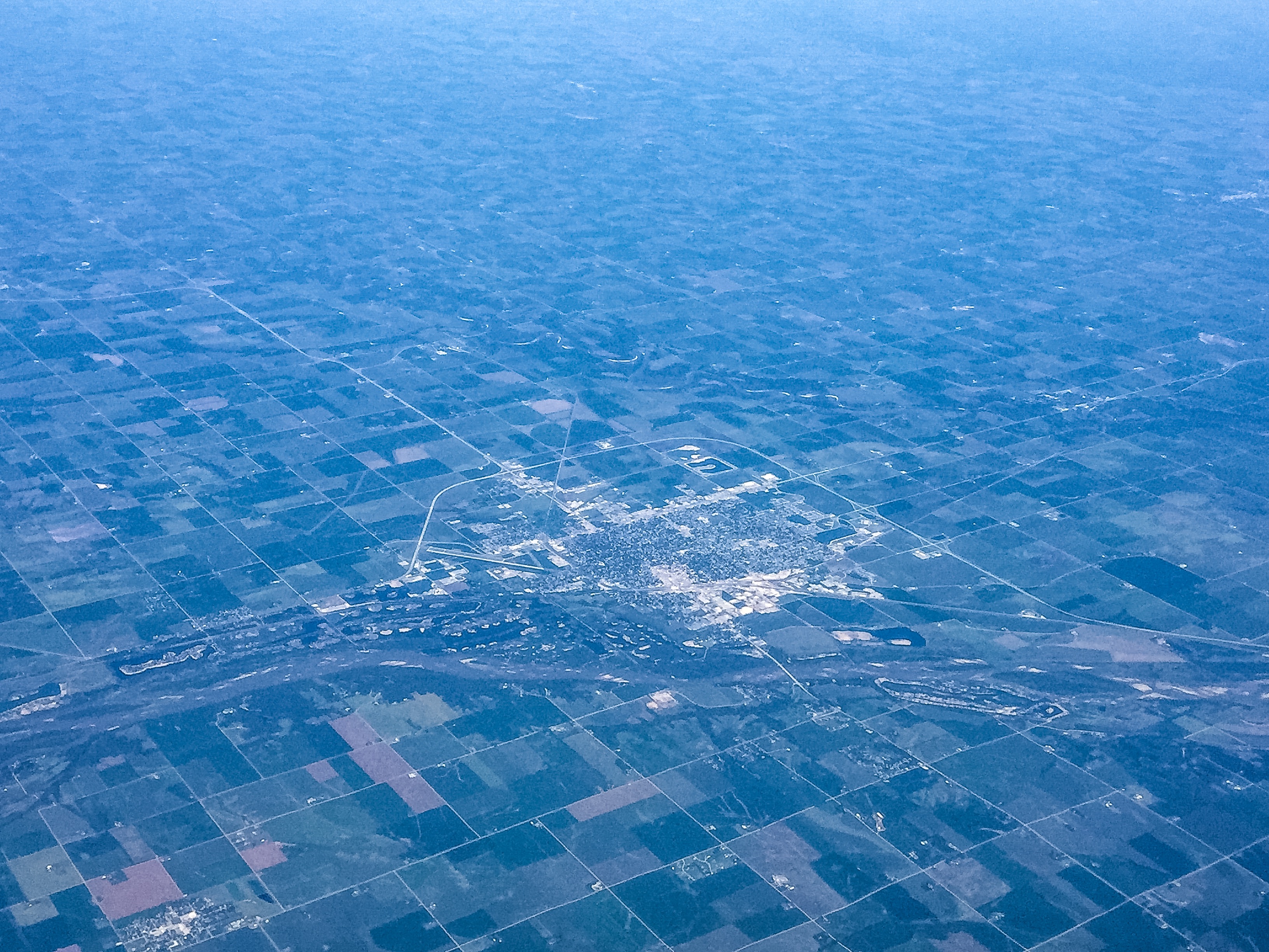
Satellite Map:
Related Photos:
Fremont, Nebraska - Platte River
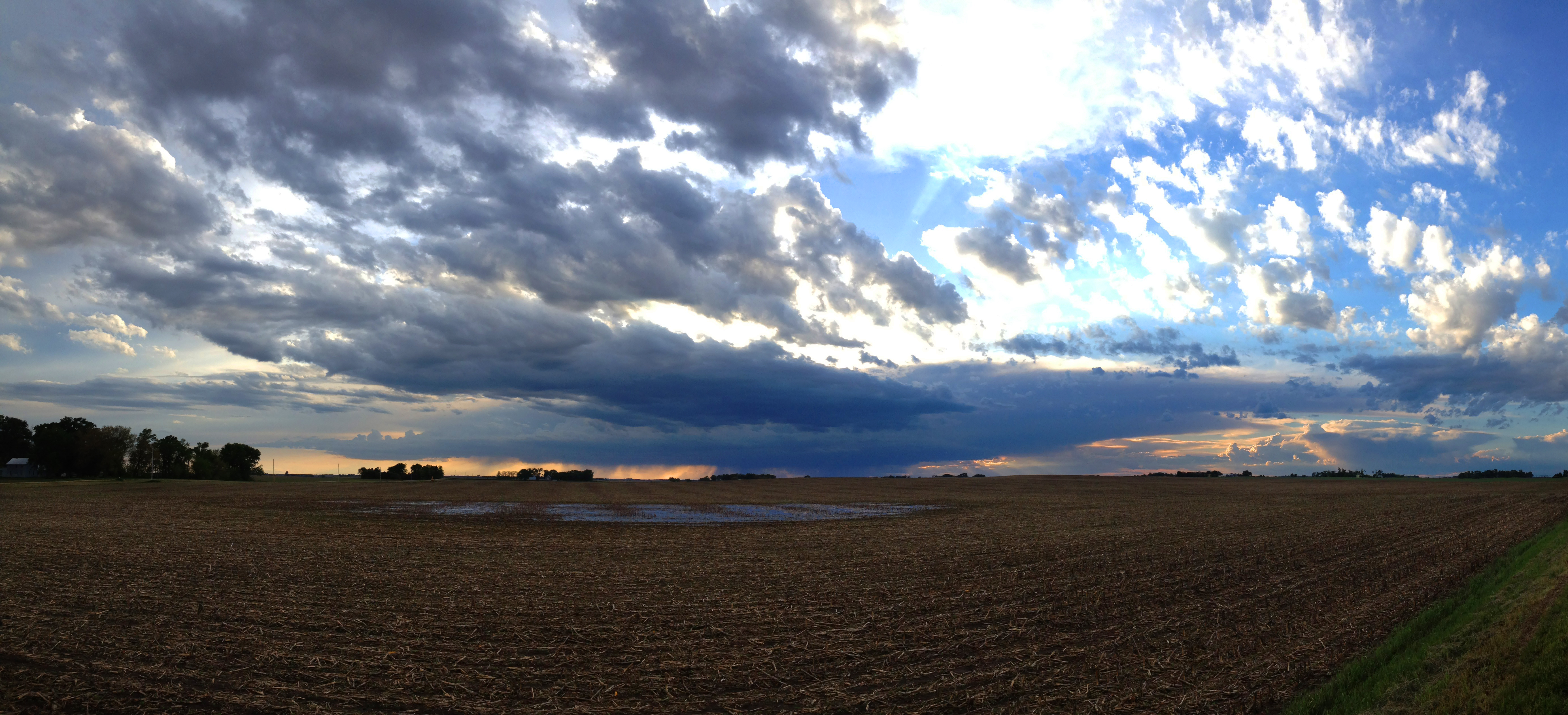
Farmland Cloudscape

Red Barn and Windmill

Spring Tree

Red Barn

One More #Sunrise Picture #sky #skyporn #clouds #cloudporn #sun #sunday #morning #church #meadne #iphone #iphone4 #iphoneonly #iphoneography #kitcam #accent #color_vibe #ig #igers

IMG_5262.JPG

Public School - Colon, NE

#sunset #lakewanahoo #nebraska #wahoo

IMG_5276.JPG

Colon, Nebraska - Art in the Park?
Topographic Map of Wahoo, NE, USA
Find elevation by address:

Places near Wahoo, NE, USA:
Sutton Dr, Wahoo, NE, USA
Saunders County
Center
Colon
Ithaca
302 7th St
Road R
Center Ave, Malmo, NE, USA
Wahoo
Marietta
Mead
S Cedar St, Mead, NE, USA
948 Co Rd P
County Road West
1133 County Rd W
2487 Co Rd B
980 County Rd W
980 County Rd W #67
980 County Rd W #1133
980 County Rd W #1133
Recent Searches:
- Elevation of Congressional Dr, Stevensville, MD, USA
- Elevation of Bellview Rd, McLean, VA, USA
- Elevation of Stage Island Rd, Chatham, MA, USA
- Elevation of Shibuya Scramble Crossing, 21 Udagawacho, Shibuya City, Tokyo -, Japan
- Elevation of Jadagoniai, Kaunas District Municipality, Lithuania
- Elevation of Pagonija rock, Kranto 7-oji g. 8"N, Kaunas, Lithuania
- Elevation of Co Rd 87, Jamestown, CO, USA
- Elevation of Tenjo, Cundinamarca, Colombia
- Elevation of Côte-des-Neiges, Montreal, QC H4A 3J6, Canada
- Elevation of Bobcat Dr, Helena, MT, USA