Elevation of County Rd W #, Fremont, NE, USA
Location: United States > Nebraska > Dodge County > Fremont >
Longitude: -96.492875
Latitude: 41.3790602
Elevation: 396m / 1299feet
Barometric Pressure: 97KPa
Elevation Map:
Satellite Map:
Related Photos:

UP 844 - Ames NE

End of the day in #Nebraska. #whereintheworldisdean #explorewithdean #ruralamerica #trees #travel #instacool #instaphoto #picoftheday #photography #amazing #america #adventure #allshots_ #sunsets #fun #followme #grass #hope #learning #cool #clouds #beauty

_DSC8195 (1)
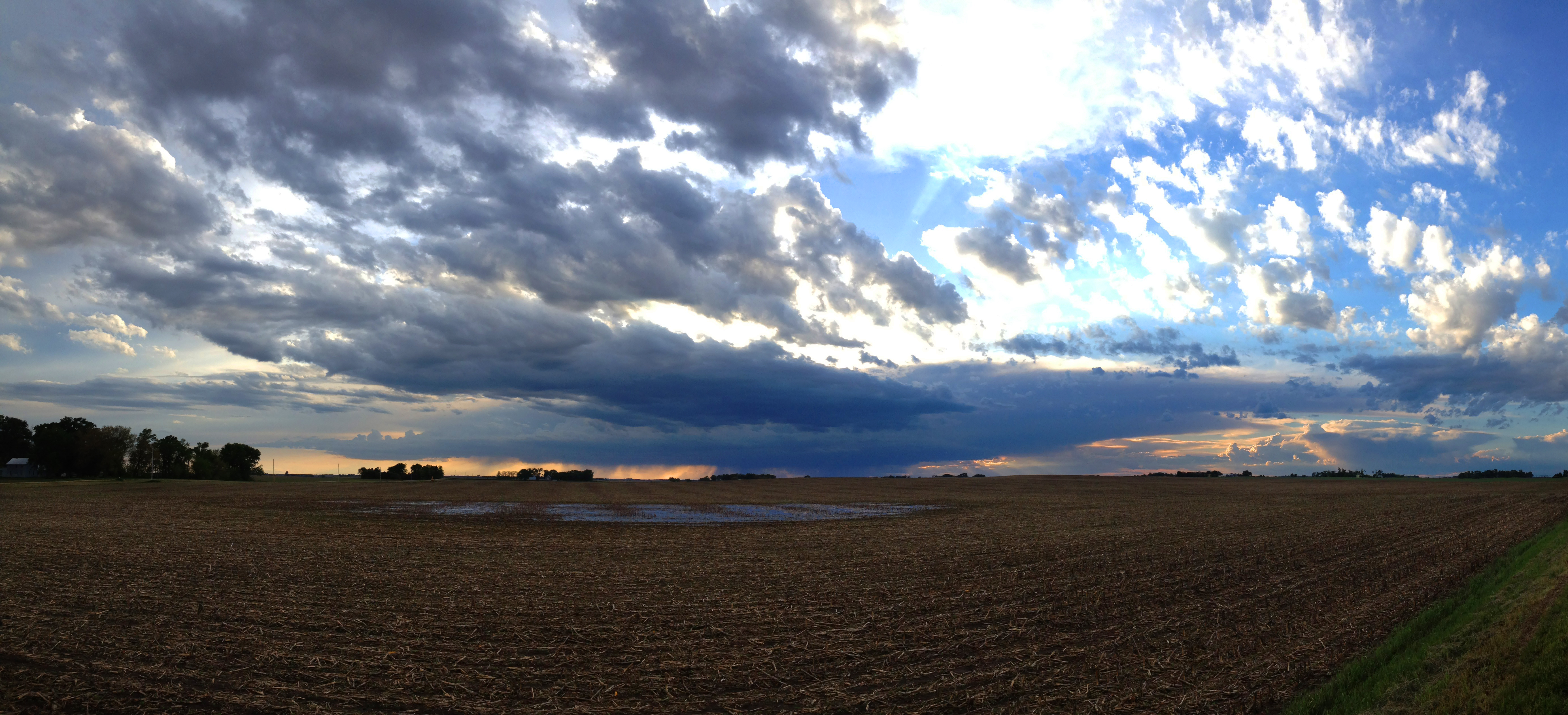
Farmland Cloudscape
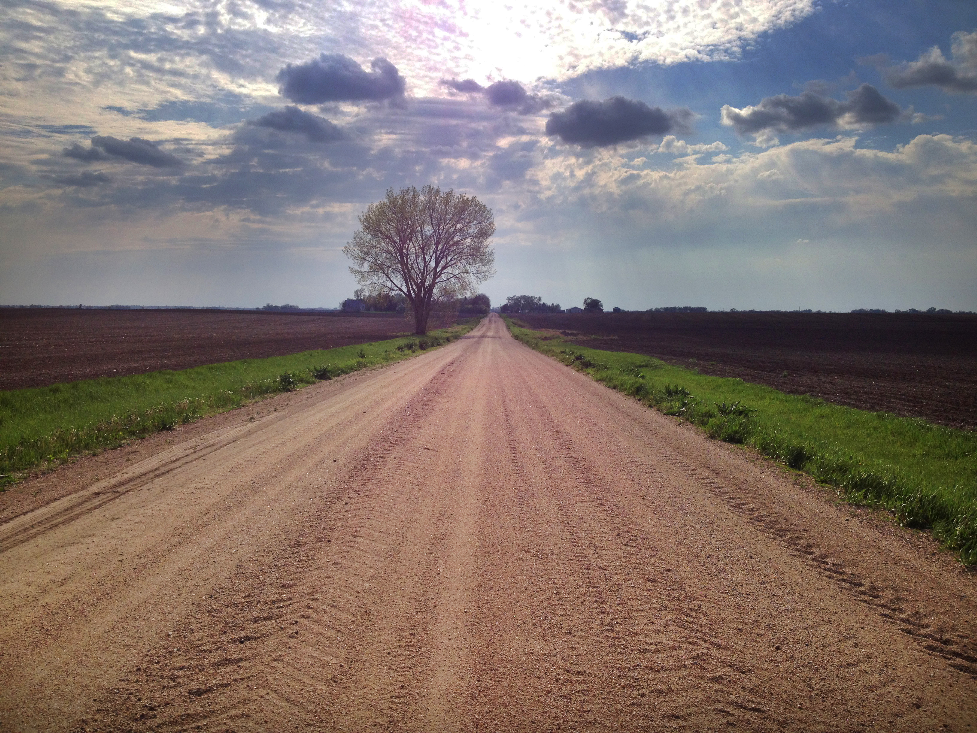
Spring Tree

The middle of nowhere. #scotia #nebraska #farm #field

April 2011 Desktop

Storm near Fremont
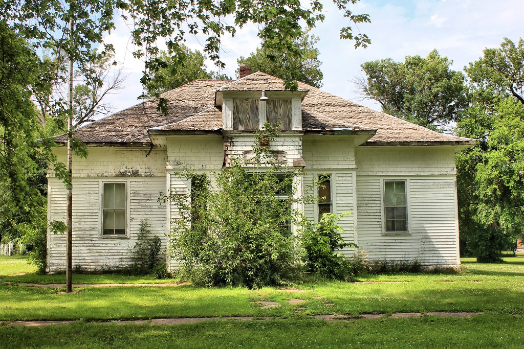
Public School - Colon, NE
IMG_5262.JPG

Fremont Lakes NE
Storm near Fremont

Nebraska Lake

Bunnies I

Bunnies III
Colon, Nebraska - Art in the Park?
IMG_5276.JPG
Topographic Map of County Rd W #, Fremont, NE, USA
Find elevation by address:

Places near County Rd W #, Fremont, NE, USA:
980 County Rd W
980 County Rd W #67
980 County Rd W #1133
1133 County Rd W
318 Elizabeth Cir
1510 S Main St
2525 Us-77
1155 S Broad St
1050 S Broad St
W Prospect Ave, Inglewood, NE, USA
Inglewood
950 S Broad St
1225 Us-77
1325 Us-77
1525 Us-77
1869 Ridgeland Ave
821 S Broad St
750 S Broad St
635 Schneider St
650 Us-77
Recent Searches:
- Elevation of Congressional Dr, Stevensville, MD, USA
- Elevation of Bellview Rd, McLean, VA, USA
- Elevation of Stage Island Rd, Chatham, MA, USA
- Elevation of Shibuya Scramble Crossing, 21 Udagawacho, Shibuya City, Tokyo -, Japan
- Elevation of Jadagoniai, Kaunas District Municipality, Lithuania
- Elevation of Pagonija rock, Kranto 7-oji g. 8"N, Kaunas, Lithuania
- Elevation of Co Rd 87, Jamestown, CO, USA
- Elevation of Tenjo, Cundinamarca, Colombia
- Elevation of Côte-des-Neiges, Montreal, QC H4A 3J6, Canada
- Elevation of Bobcat Dr, Helena, MT, USA