Elevation of Waggener, WV, USA

Location: United States > West Virginia > Mason County >

Longitude: -82.029815

Latitude: 38.9757213

Elevation: 227m / 745feet

Barometric Pressure: 99KPa

Elevation Map:

elevation map of Waggener, WV, USA

Satellite Map:

Satellite map of Waggener, WV, USA

Related Photos:

trees light red sky orange color abandoned nature silhouette horizontal architecture night dark stars outdoors us glow darkness unitedstates nobody westvirginia astrophotography dome astronomy derelict startrails fireflies pointpleasant masoncounty mcclintock lightningbugs tntarea
Igloo Sky Glow
ohio game bird chickens nikon rick fowl d90 commercialphotography riling seramas landrace morristownephotography malaysianserama
Malaysian Serama
ohio england game chickens nature pose nikon 19thcentury raptor gamecock bantam oldenglish malays d90 commercialphotography showbirds moderngame morristownephotography exhibitionbird rickriling
Modern Game Bantam
ohio barn
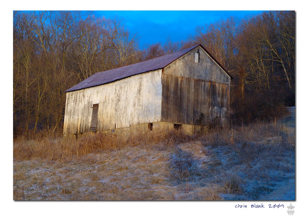
An old barn in Cheshire Ohio
New wing at Point Pleasant HS
ohio barn
Syracuse Barn
columbus ohio rio grande evans state bob farms easton pomeroy
Pomeroy, OH 5
square squareformat iphoneography instagramapp uploaded:by=instagram
Views like this makes #exercise a little easier. #healthy #run #walk #justdoit
square squareformat iphoneography instagramapp uploaded:by=instagram
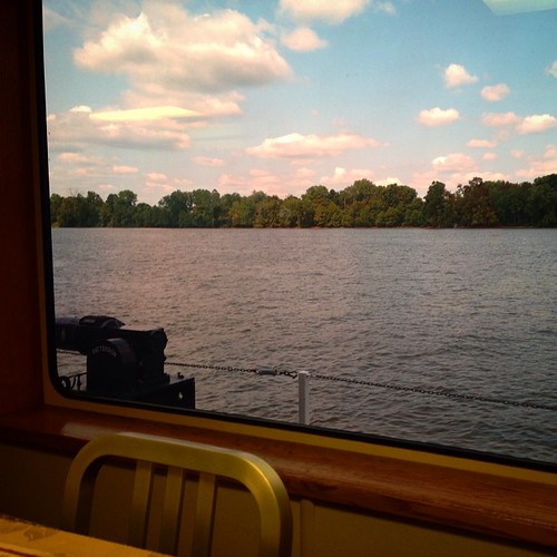
Had lunch with a view! #galley #boat #lovemyjob
square squareformat ludwig iphoneography instagramapp uploaded:by=instagram
I love that moment of orange in the sky as the sun starts to rise. My view this morning from the sunroom.
blue trees winter sky lake snow cold color reflection ice nature wet water vertical forest landscape outdoors frozen us pond woods day unitedstates nobody westvirginia vegetation northamerica marsh appalachia wetland pointpleasant mcclintock tntarea
Frozen Pond
square squareformat mayfair iphoneography instagramapp uploaded:by=instagram
#walk #healthy #exercise
square squareformat iphoneography instagramapp uploaded:by=instagram
Tonight's #sunset
pond lotus clouds sky trees westvirginia mcclinticwildlifemanagementarea water waterlilies july summer
McClintic Wildlife Management Area
church catholic drone mavic mavicpro2 hdr panorama
Sacred Hearts Church by Drone
Steam over Diesel
square squareformat iphoneography instagramapp uploaded:by=instagram
#fog #Ohio #river #OhioRiver
old trees color tree abandoned nature overgrown stone architecture forest landscape outdoors us woods ruins unitedstates decay columns roots nobody structure westvirginia blocks derelict remnants decaying wooded pointpleasant masoncounty mcclintock tntarea
TNT Area Ruins
flowers trees summer sky panorama cloud white lake color green nature water yellow landscape outdoors golden us pond colorful unitedstates bright nobody westvirginia swamp marsh penstemon wetland pointpleasant masoncounty mcclintock beardtongue hotrockpenstemon penstemondeustus tntarea
Green and Gold
longexposure sky lake color green nature water horizontal night dark stars landscape outdoors us pond unitedstates nobody westvirginia marsh wetland pointpleasant masoncounty mcclintock tntarea
Pond #11 by Moonlight
longexposure blue trees summer lake motion color green nature water horizontal forest landscape outdoors us movement pond day unitedstates nobody westvirginia pointpleasant masoncounty mcclintock tntarea
The Flow
lotus westvirginia pond july summer pointpleasant mcclinticwildlifemanagementarea landscape scenic
Lillies, Lillies, Lillies
road longexposure trees light sky orange lightpainting color art nature silhouette yellow horizontal night clouds forest dark landscape outdoors us woods glow darkness unitedstates path nobody westvirginia fireflies pointpleasant masoncounty mcclintock lightningbugs cloudtrails tntarea
Illuminate the Path
longexposure trees light lightpainting color brick art abandoned horizontal night forest dark landscape outdoors us glow shadows unitedstates nobody well fantasy westvirginia derelict mothman pointpleasant masoncounty tntarea
Luminous Forest
morning blue trees red summer sky orange lake color reflection green nature water vertical sunrise landscape outdoors us twilight unitedstates nobody clear westvirginia swamp vegetation marsh lilypads pointpleasant masoncounty mcclintock tntarea
Red, White and Blue
flowers blackandwhite bw plants lake nature water monochrome horizontal landscape outdoors us pond lily unitedstates nobody westvirginia vegetation lilypads pointpleasant masoncounty mcclintock tntarea
Lily Pond in Monochrome
old winter sunset sky orange snow cold color abandoned nature horizontal architecture clouds forest underground landscape concrete outdoors frozen us doors unitedstates steel ruin nobody storage historic foliage westvirginia freeze derelict mounds mothman pointpleasant masoncounty mcclintock igloos tntarea
TNT Area Igloo's
longexposure trees sky panorama lake color nature water silhouette vertical night clouds dark stars landscape outdoors us unitedstates nobody westvirginia astrophotography swamp marsh milkyway pointpleasant masoncounty mcclintock tntarea
TNT Area Milky Way
winter sunset sky orange lake snow cold color abandoned ice nature water horizontal clouds forest underground landscape outdoors gold frozen pond unitedstates tracks nobody storage foliage westvirginia freeze swamp marsh mounds goldenhour mothman pointpleasant masoncounty mcclintock igloos tntarea
TNT Area Igloo's
ohio landscape geotagged pomeroy meigs geo:lat=3902766 geo:lon=8203151
Pomeroy, Ohio