Elevation of Robinson, WV, USA
Location: United States > West Virginia > Mason County >
Longitude: -82.062505
Latitude: 38.9053313
Elevation: 176m / 577feet
Barometric Pressure: 99KPa
Elevation Map:
Satellite Map:
Related Photos:

I love that moment of orange in the sky as the sun starts to rise. My view this morning from the sunroom.
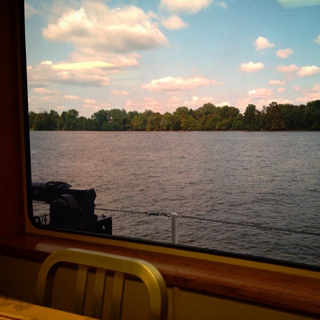
Had lunch with a view! #galley #boat #lovemyjob
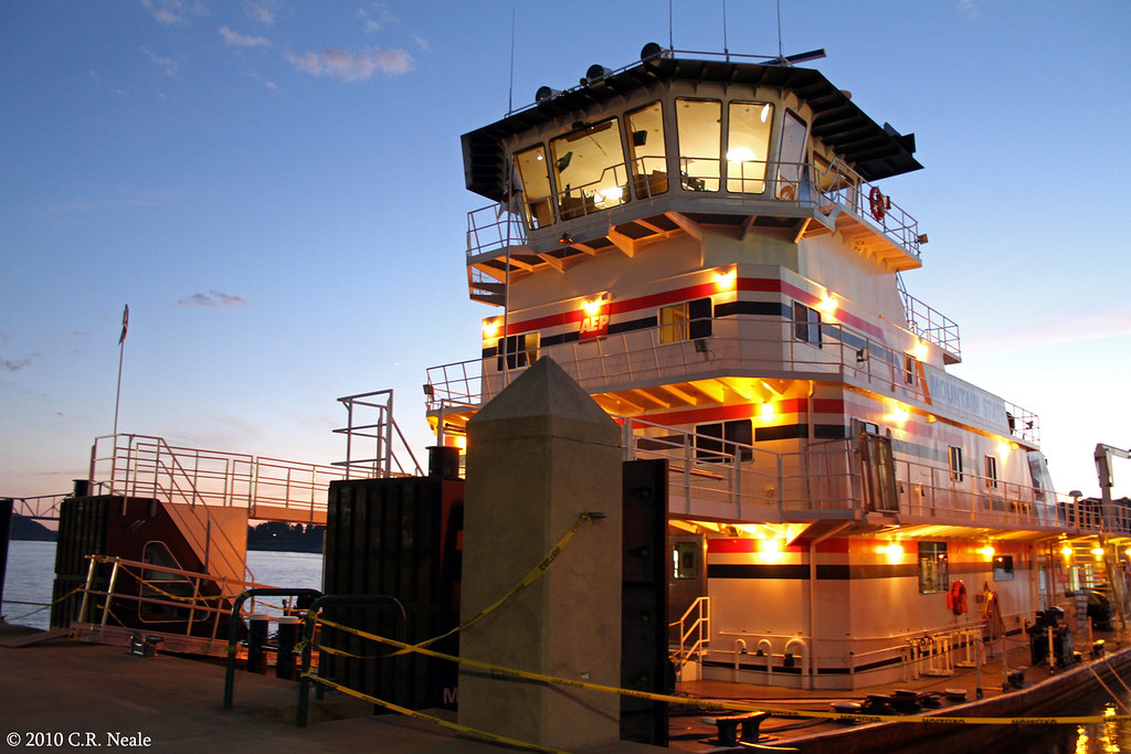
Mountain State
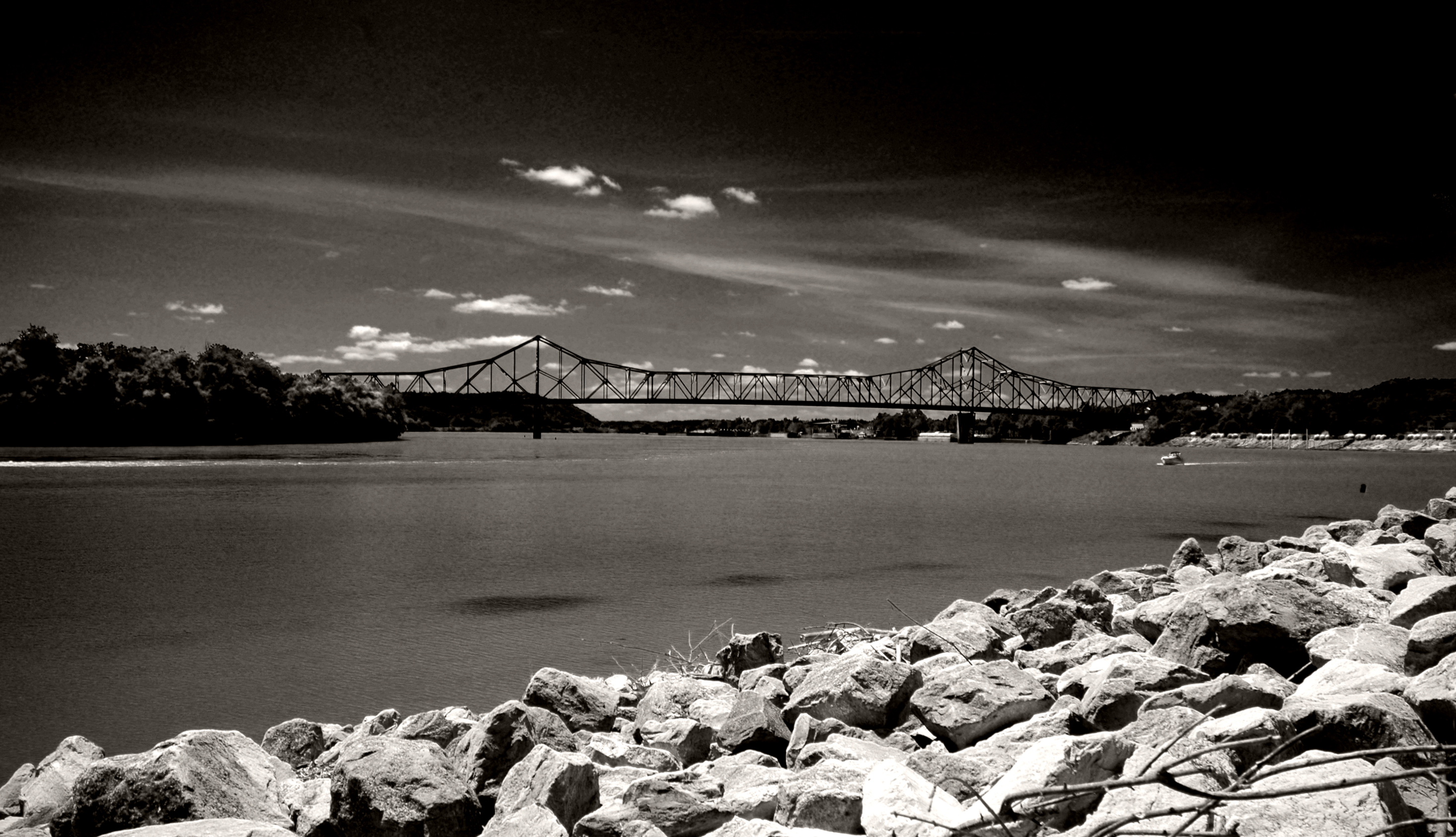
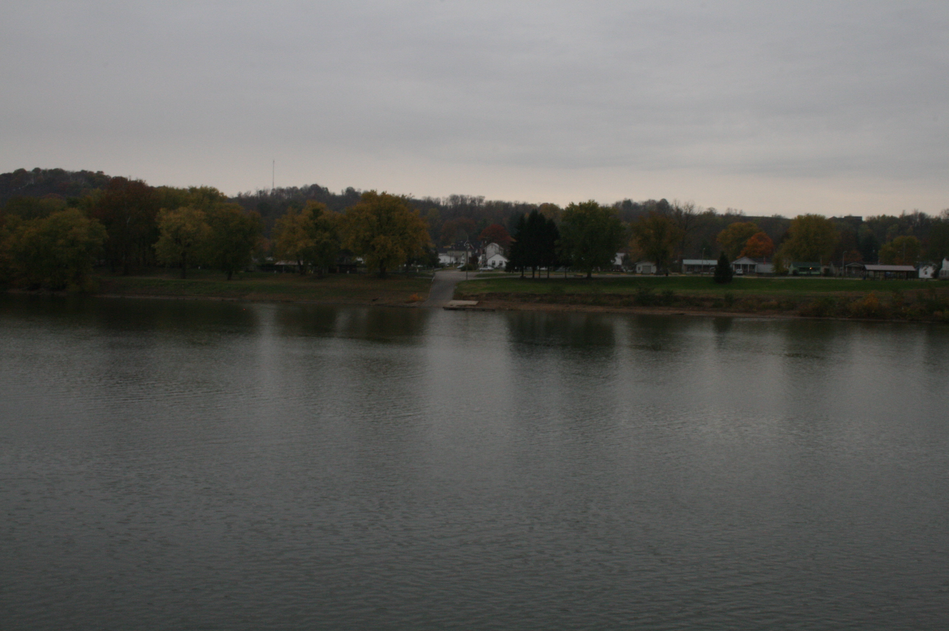
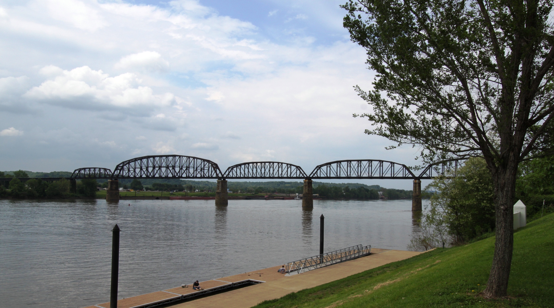
Ohio River from Tu-Endie-Wei State Park
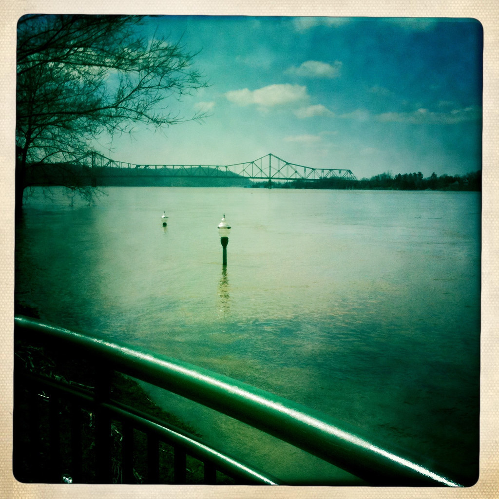
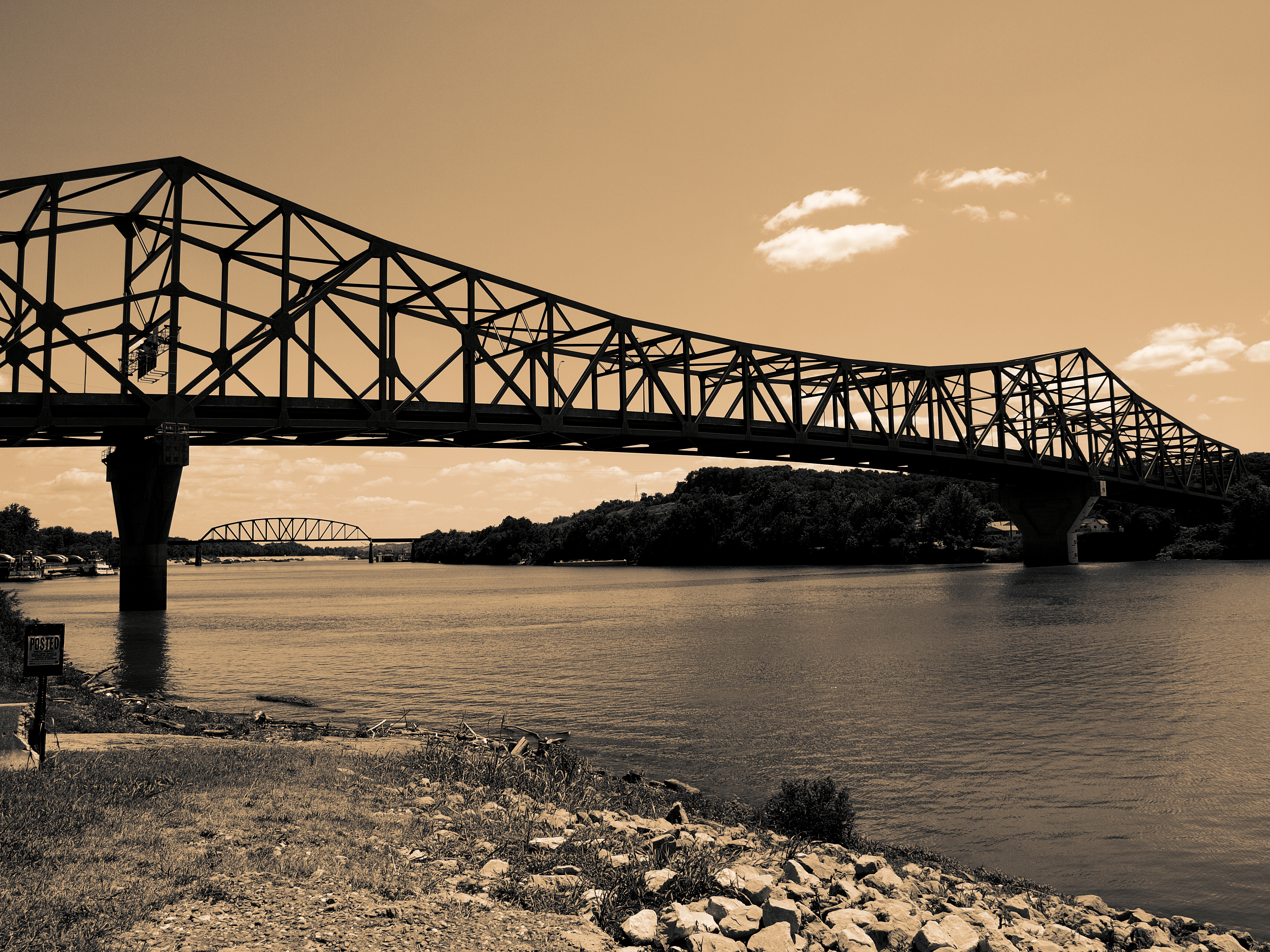
Point Pleasant's less famous bridge
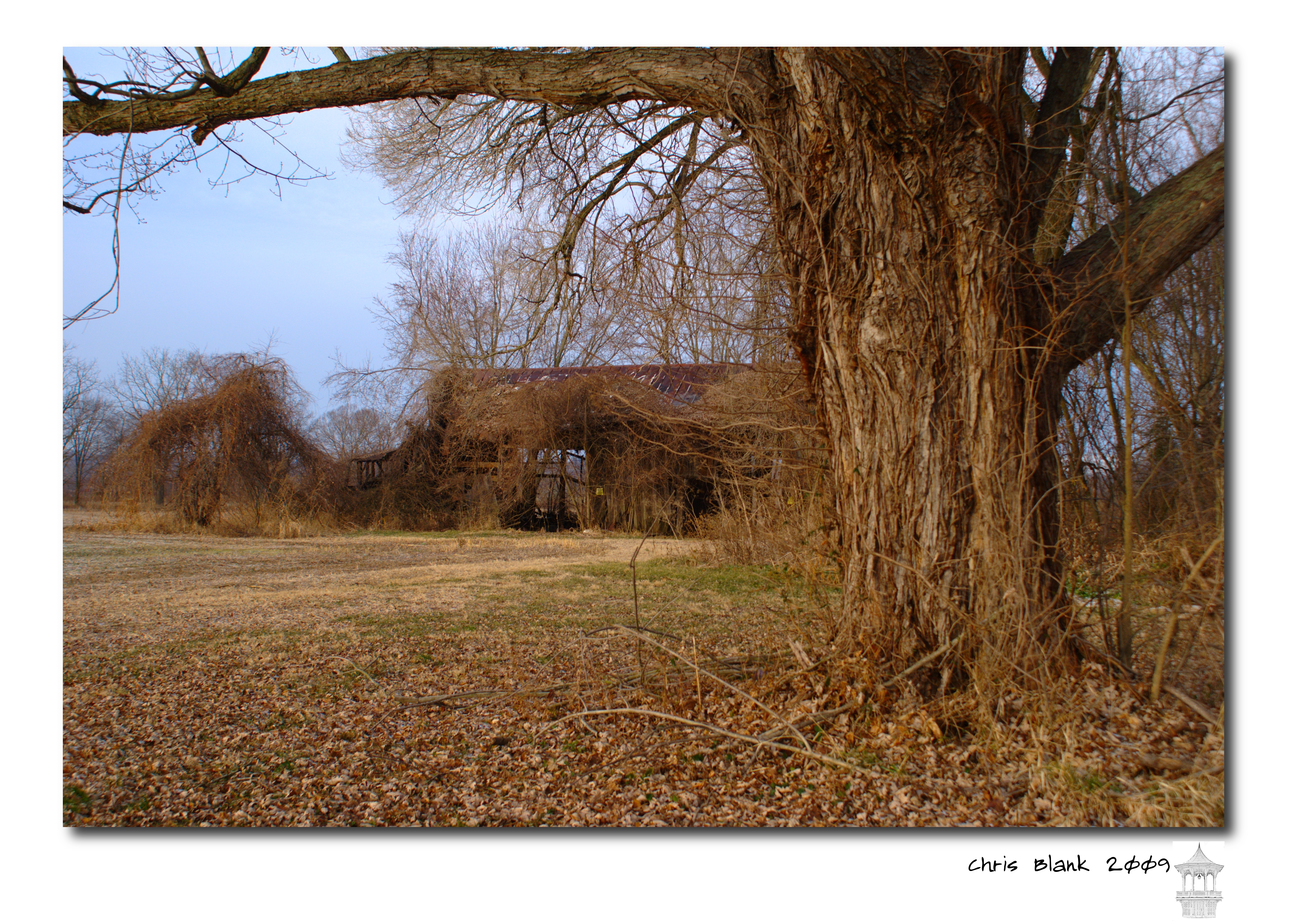
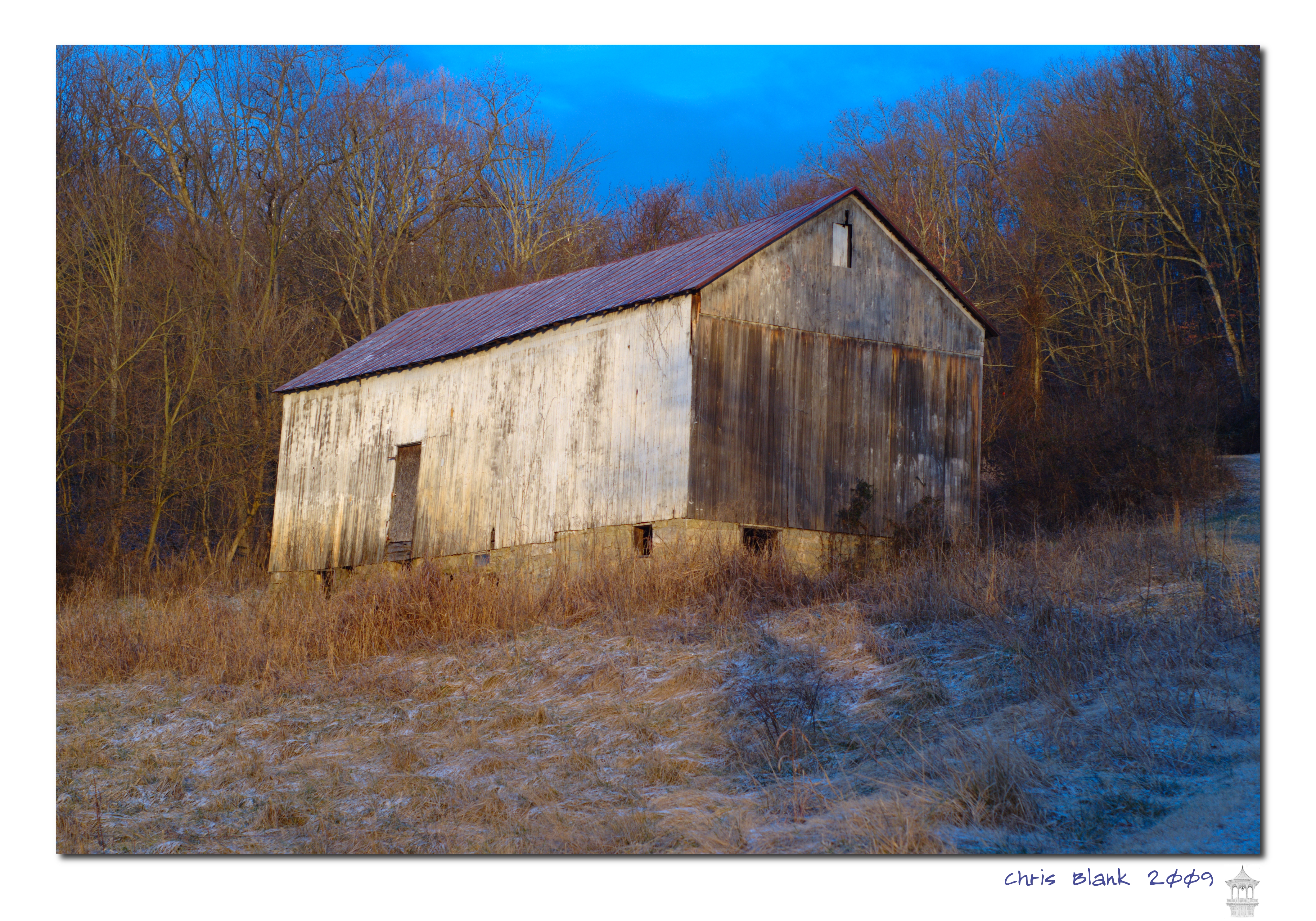
An old barn in Cheshire Ohio
100-2255
New wing at Point Pleasant HS
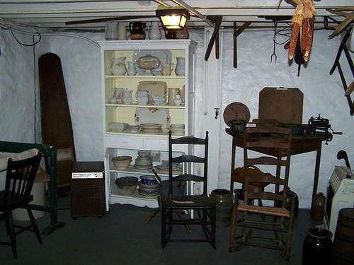
Basement Kitchen

Igloo Sky Glow
Syracuse Barn
Pomeroy, OH 5
Views like this makes #exercise a little easier. #healthy #run #walk #justdoit
Under Water
#walk #healthy #exercise
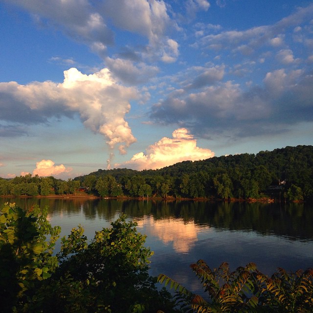
#ohioriver #newhaven #wv #river #sky #skyporn #sunset #cloud #cloudporn

Beautiful #sunset ... #ohioriver #wv #newhaven #sun #skyporn
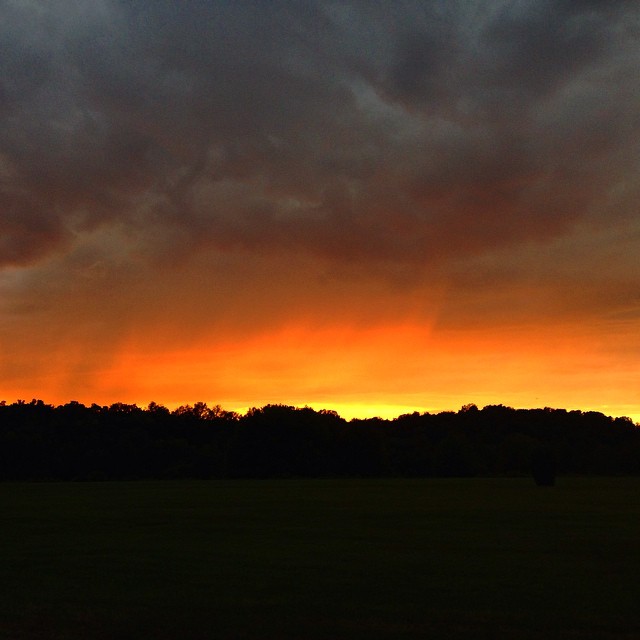
Racing against the dark. But what a gorgeous #sunset
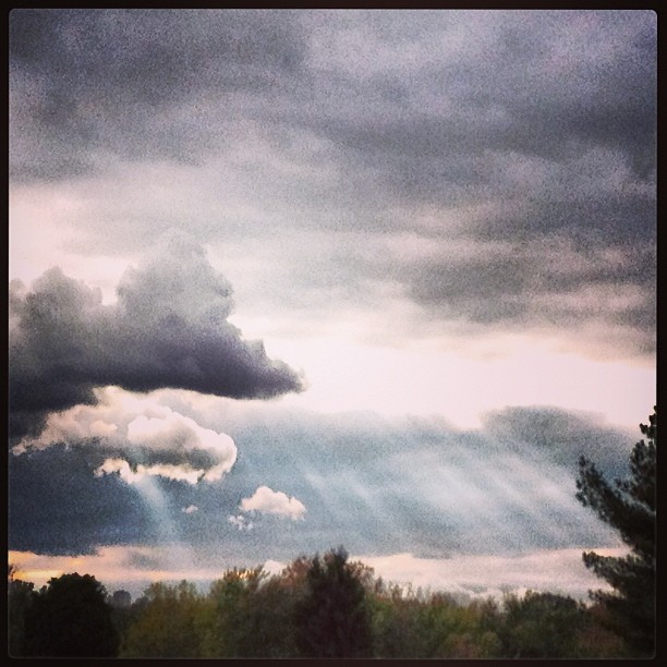
#sky #cloud #sunbeam
What a beautiful #sunrise
What happened to the pretty white fluffy clouds?!?
Picture 1241
#ohioriver #river #sun #sunset
Leading Creek Water Trail
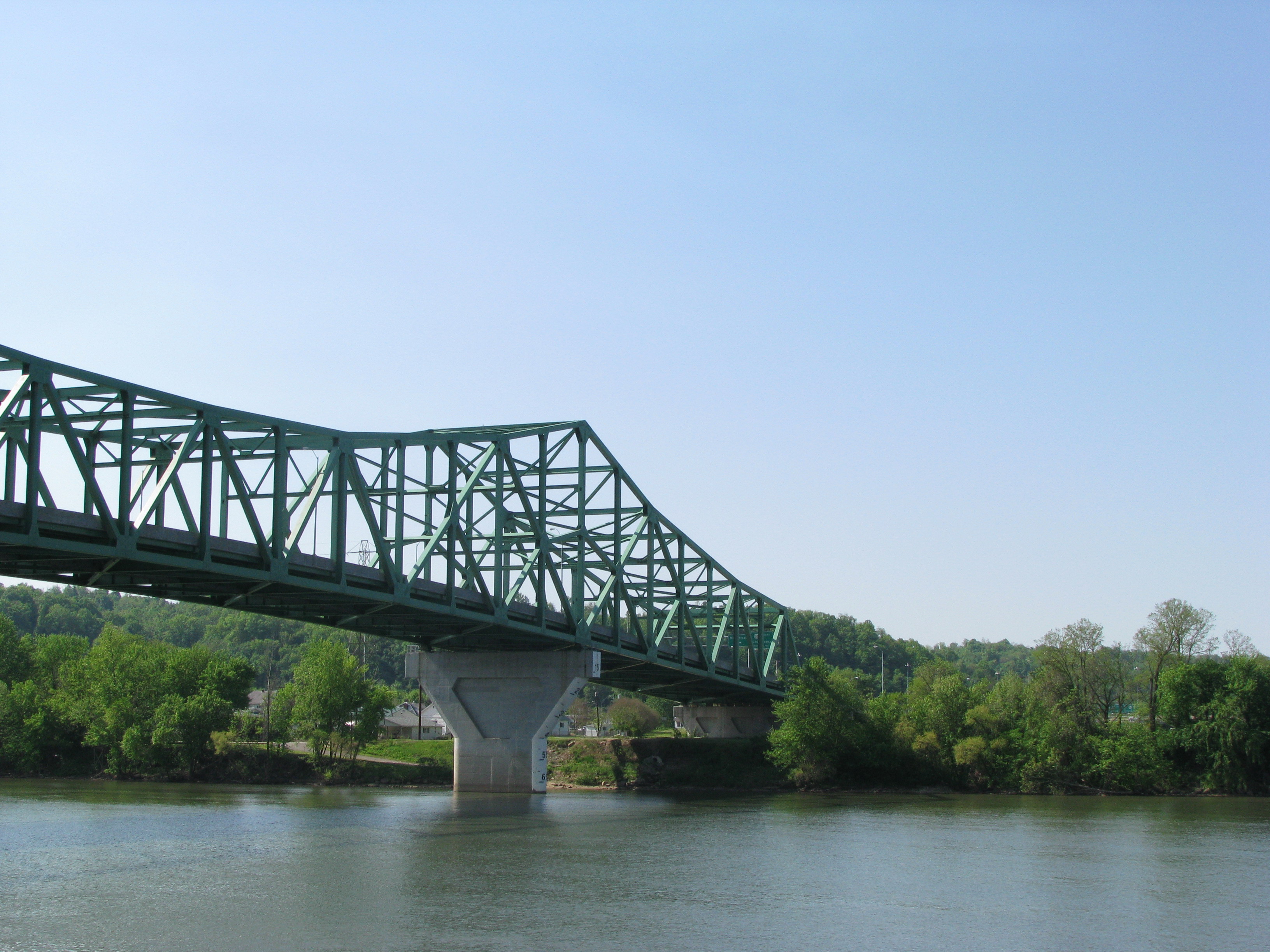
Pomeroy-Mason Bridge
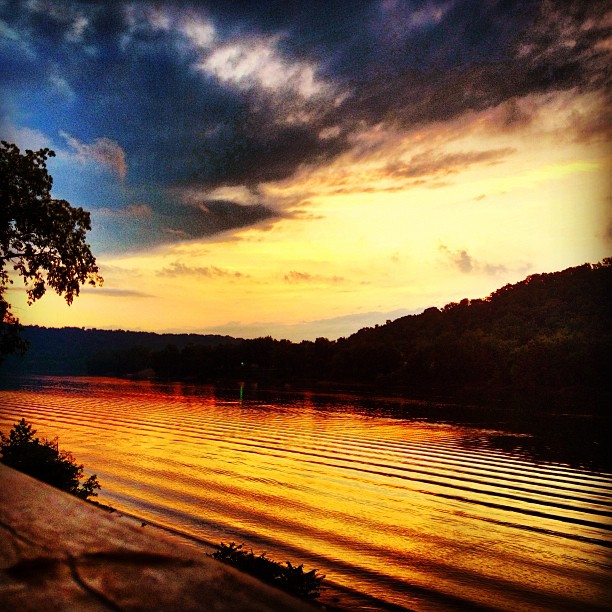
Daddy and I are having a cup of coffee and watching the river flow by.
Point Pleasant, WV Panorama
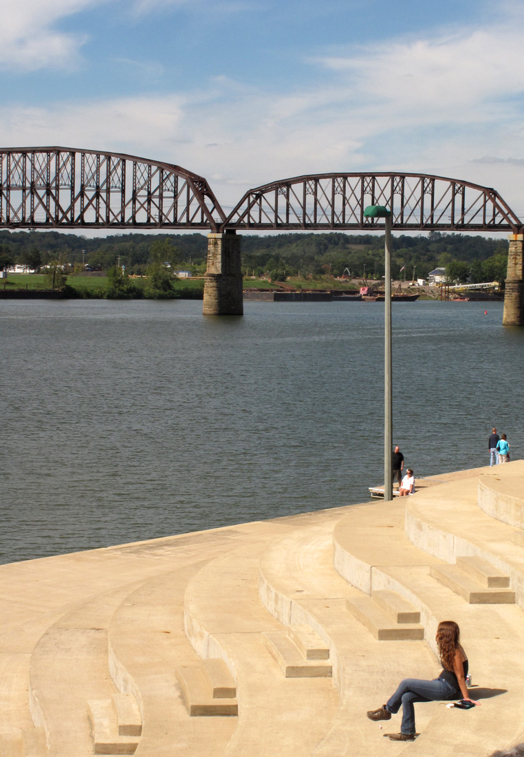
Kanawha River from Tu-Endie-Wei State Park

Natural and man made clouds
IMG_3936 copy
Ohio River IMG_2229
Middleport Boat Access #OhioRiver
Gallipolis-20130823-00271.jpg
Topographic Map of Robinson, WV, USA
Find elevation by address:

Places near Robinson, WV, USA:
185 Aberdene Ln
750 Lewis Ln
409 Lewis Ln
Lewis
Tug Dr, West Columbia, WV, USA
OH-7, Cheshire, OH, USA
Cheshire
Waggener
181 Beech St
527 Grover Rd
Middleport
51 Kelley Dr, Gallipolis, OH, USA
Graham
Cheshire Township
West Main Street
5 S 3rd St
Mason
2732 Gun Club Rd
Letart
Addison Township
Recent Searches:
- Elevation of 15th Ave SE, St. Petersburg, FL, USA
- Elevation of Beall Road, Beall Rd, Florida, USA
- Elevation of Leguwa, Nepal
- Elevation of County Rd, Enterprise, AL, USA
- Elevation of Kolchuginsky District, Vladimir Oblast, Russia
- Elevation of Shustino, Vladimir Oblast, Russia
- Elevation of Lampiasi St, Sarasota, FL, USA
- Elevation of Elwyn Dr, Roanoke Rapids, NC, USA
- Elevation of Congressional Dr, Stevensville, MD, USA
- Elevation of Bellview Rd, McLean, VA, USA