Elevation of WA-21, Curlew, WA, USA
Location: United States > Washington > Curlew >
Longitude: -118.55632
Latitude: 48.9373114
Elevation: 537m / 1762feet
Barometric Pressure: 95KPa
Elevation Map:
Satellite Map:
Related Photos:

Palliative support for Grand Forks
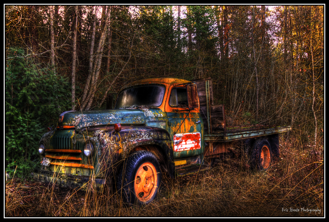
Truck in HDR
Round the Bend
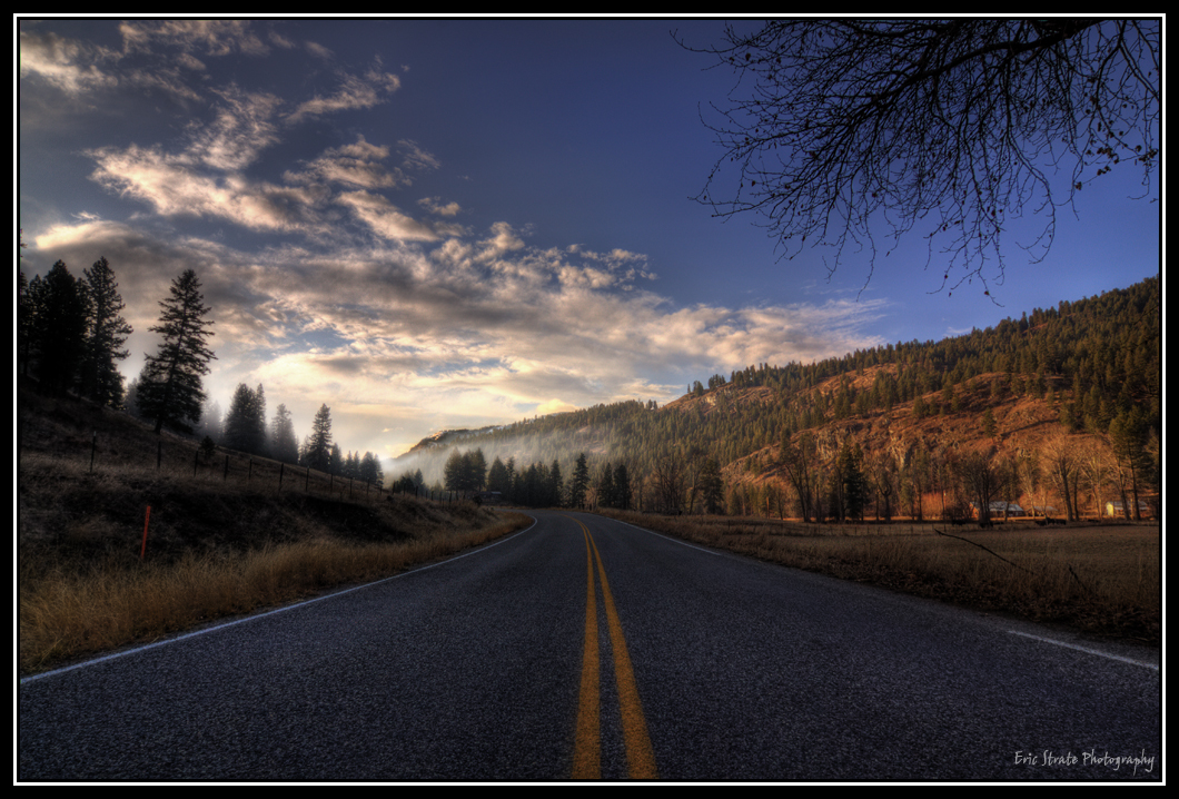
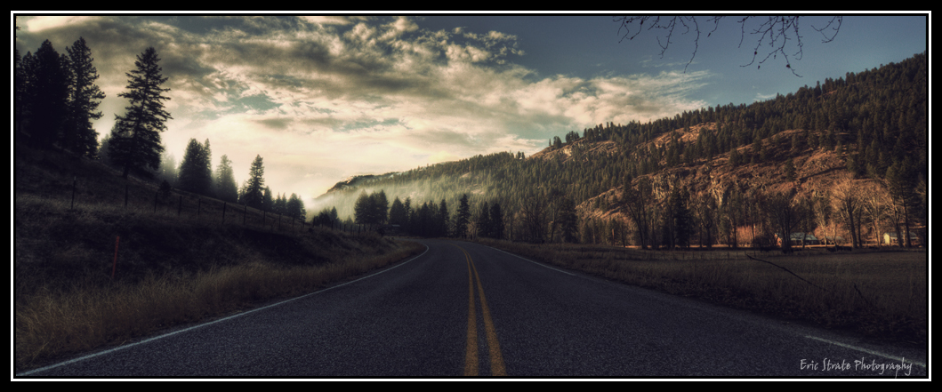
Down the Road
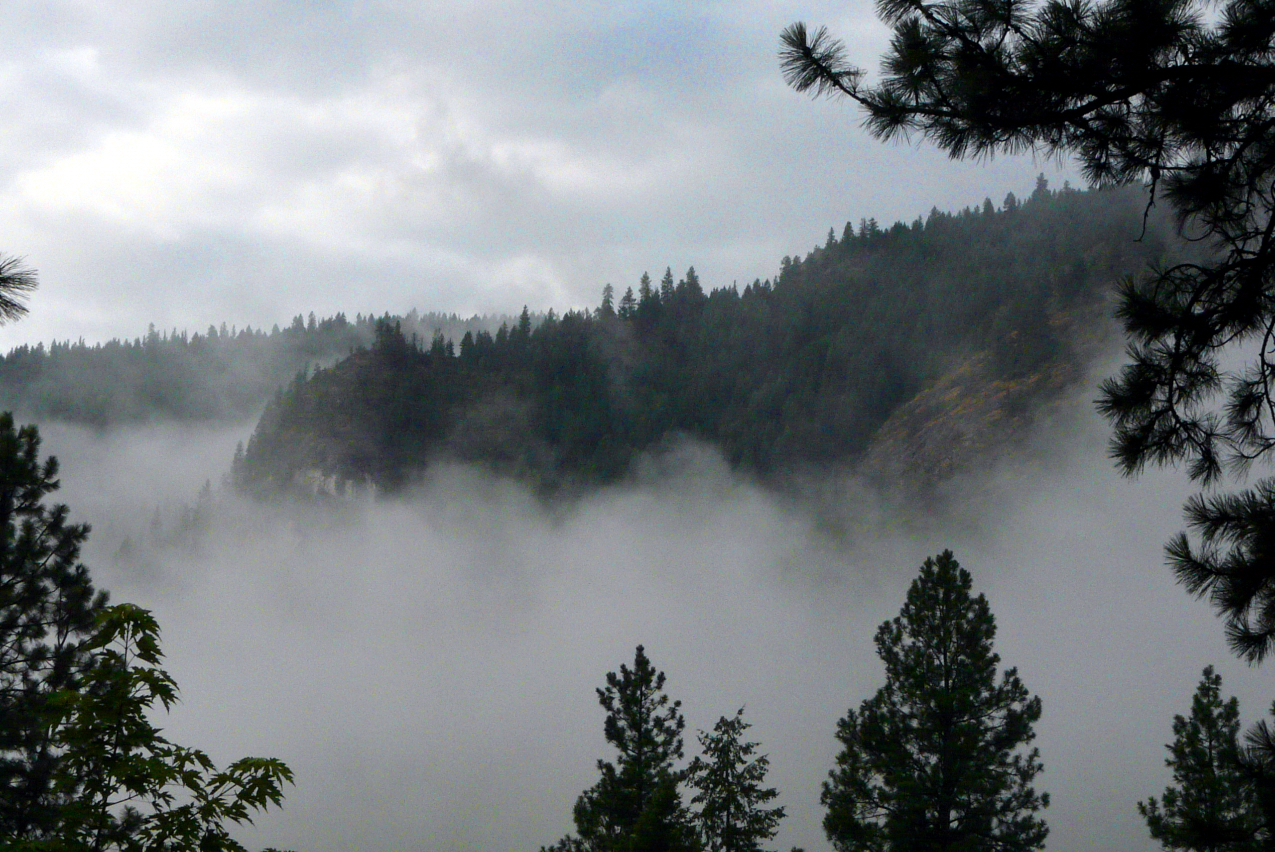
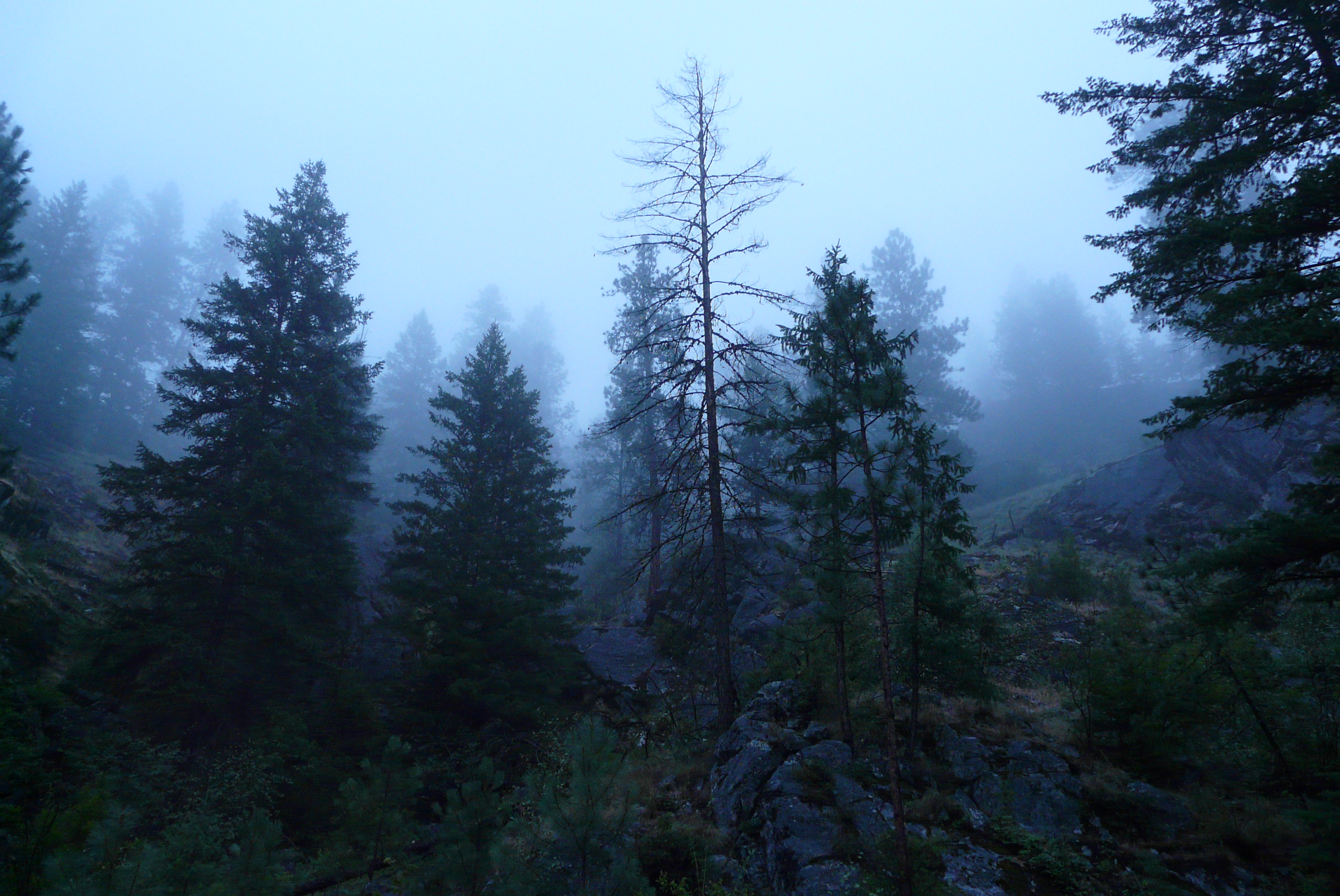
Foggy morning
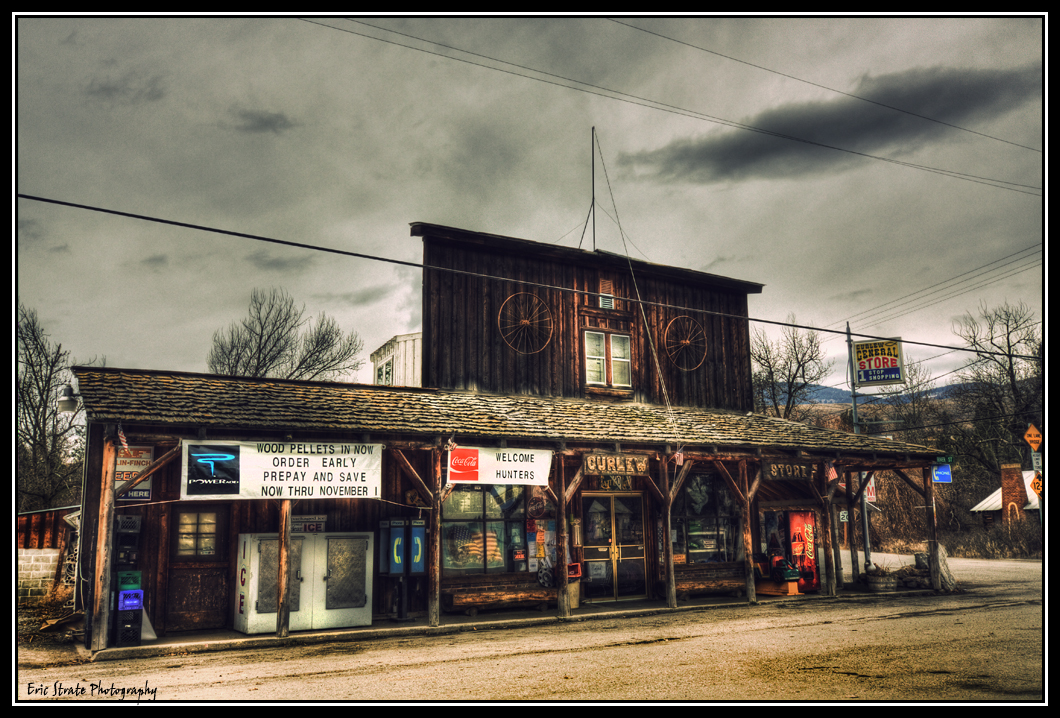
The Curlew Store
Round the Bend - Version 2
Looking Up
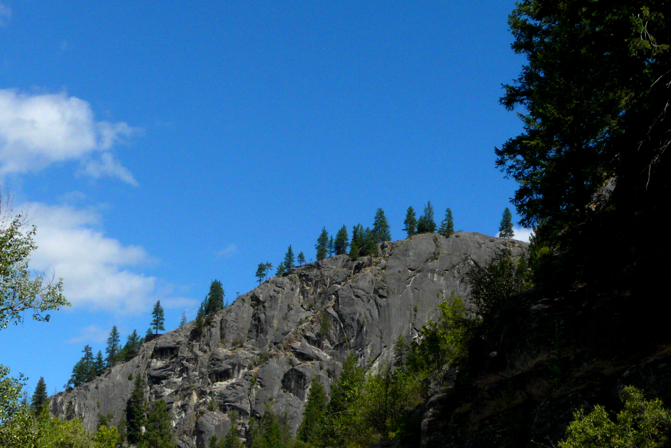
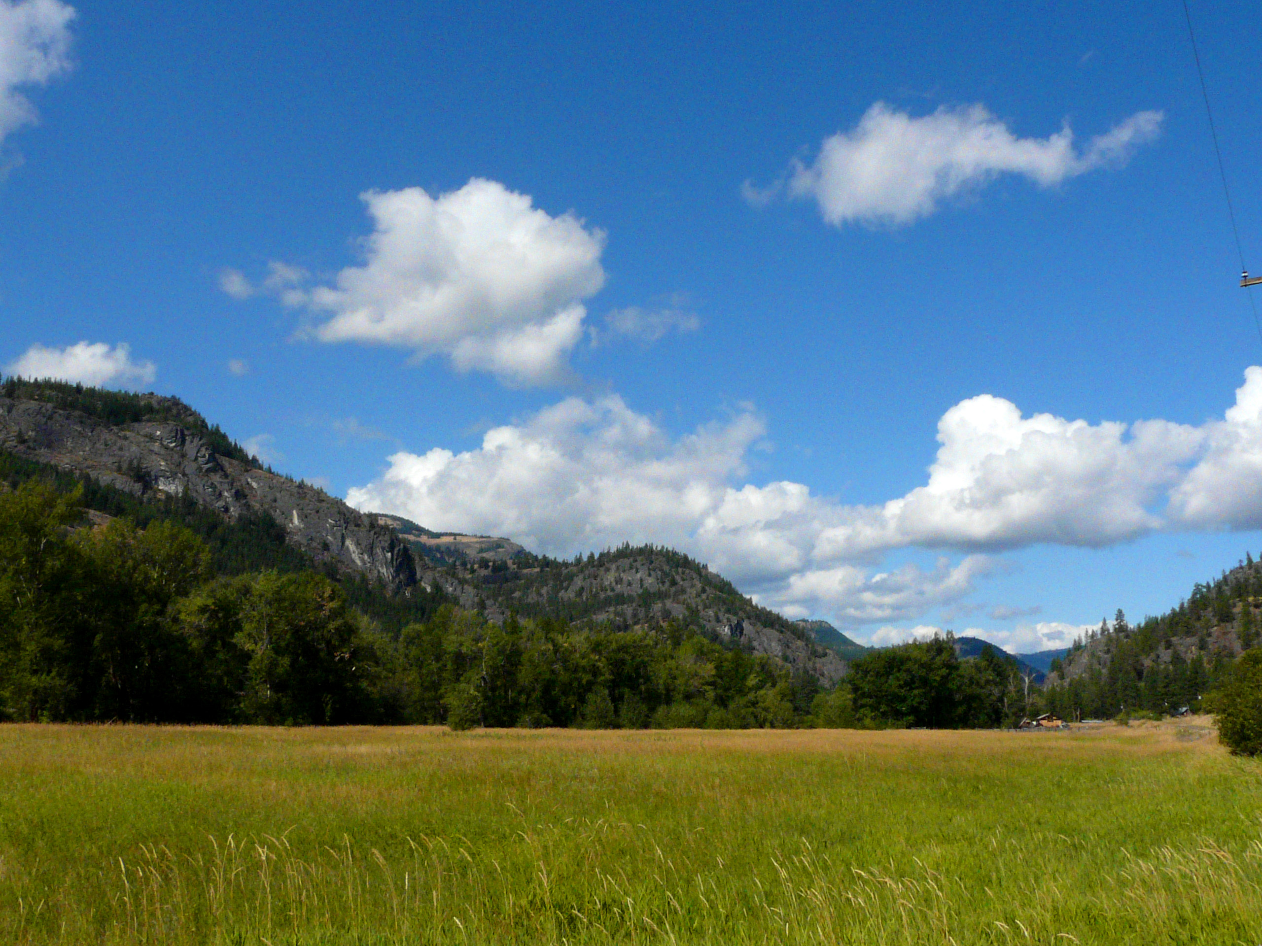
Rocky Ridge
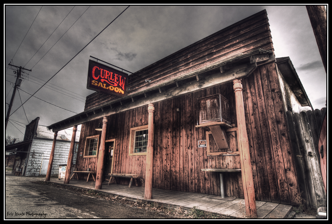
The Curlew Saloon
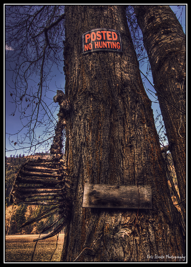
No Hunting. Questions?
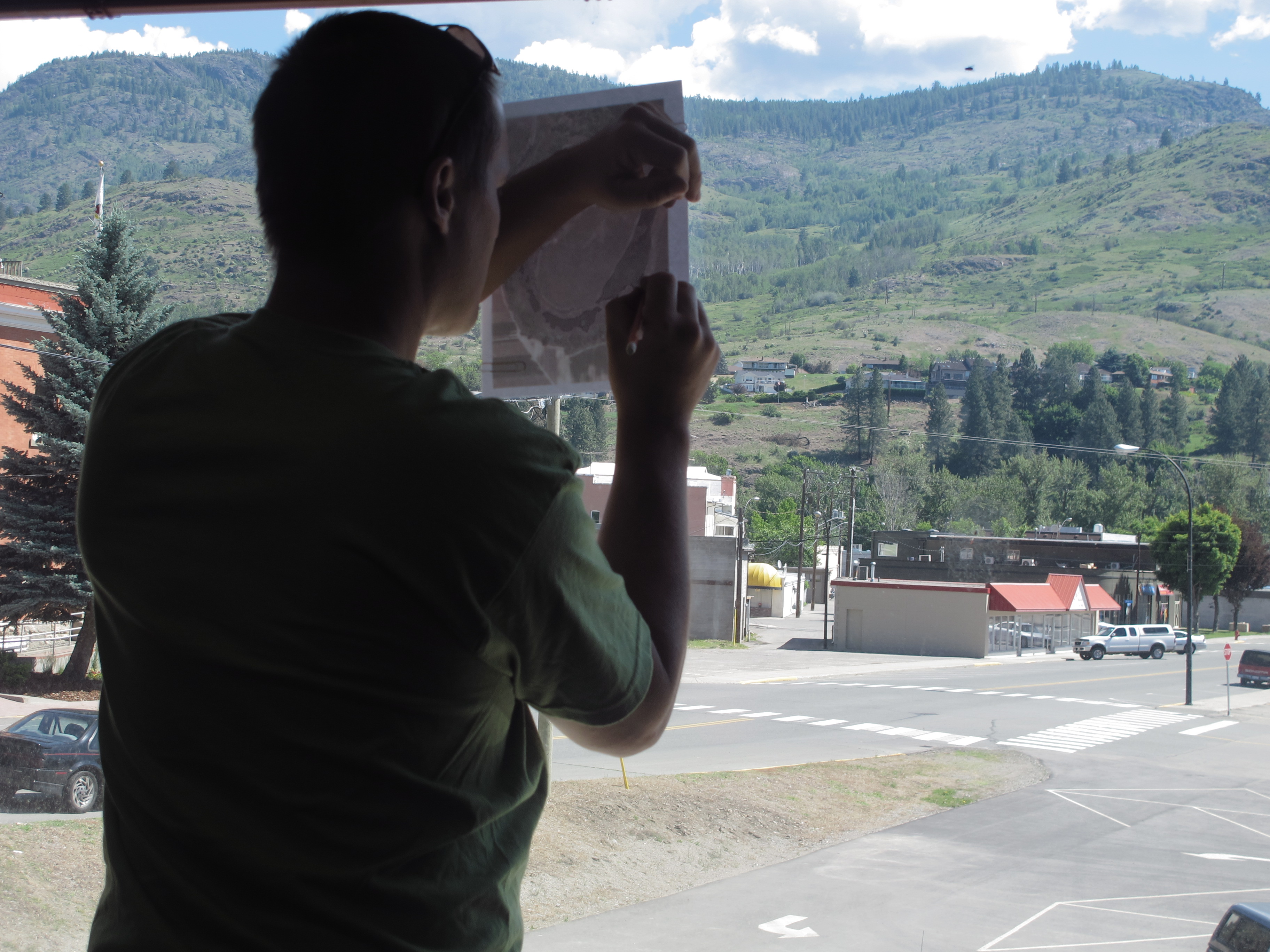
Graham picked a great spot (with a view!) to draw vegetation zones from satellite images.
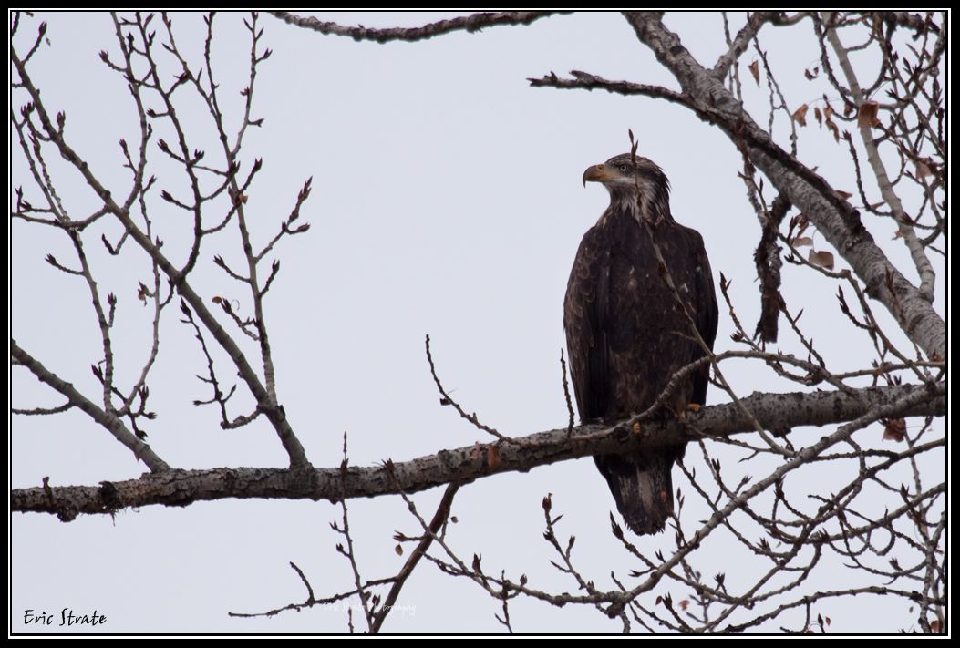
Immature Bald Eagle
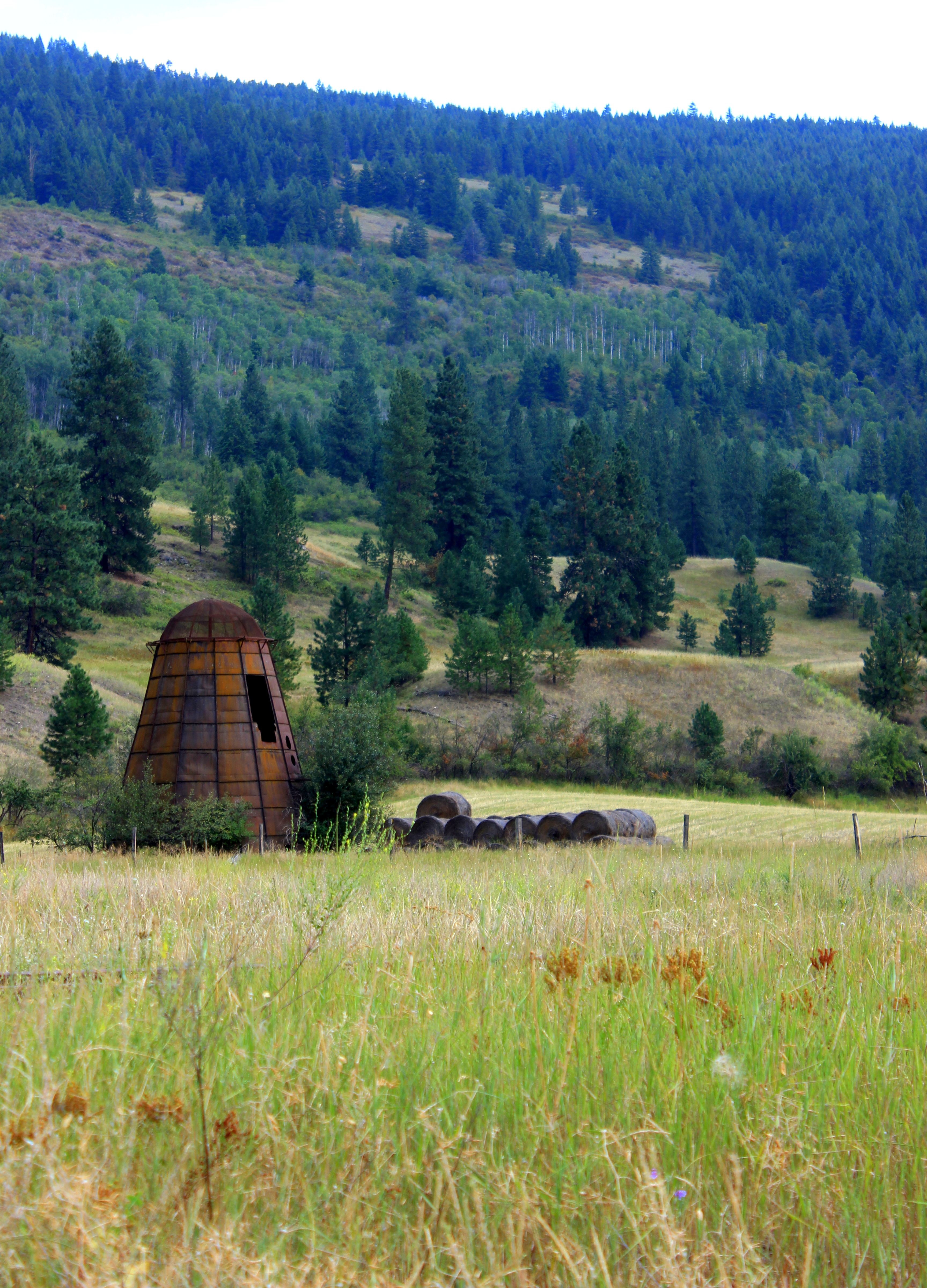
rusty old beehive burner at the Canadian / US Border

Horse Shack
2017 10.27 DSC_0065 1k
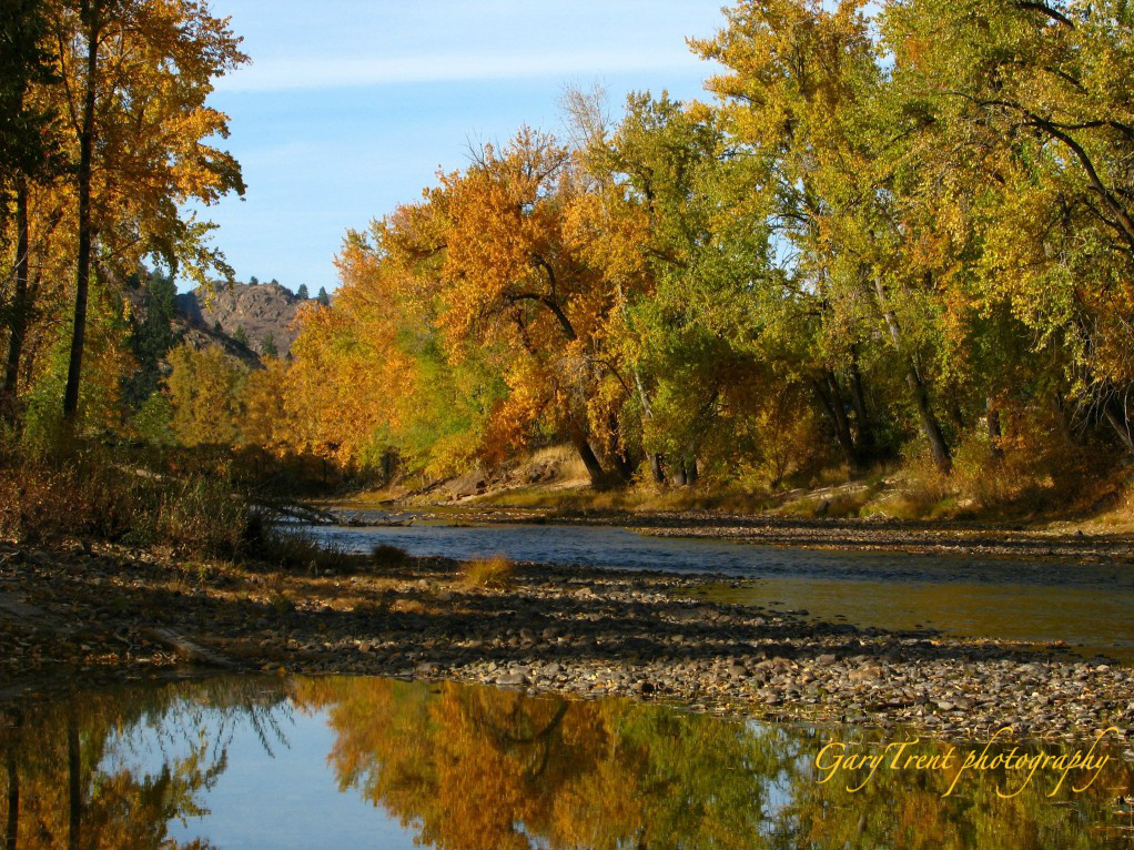
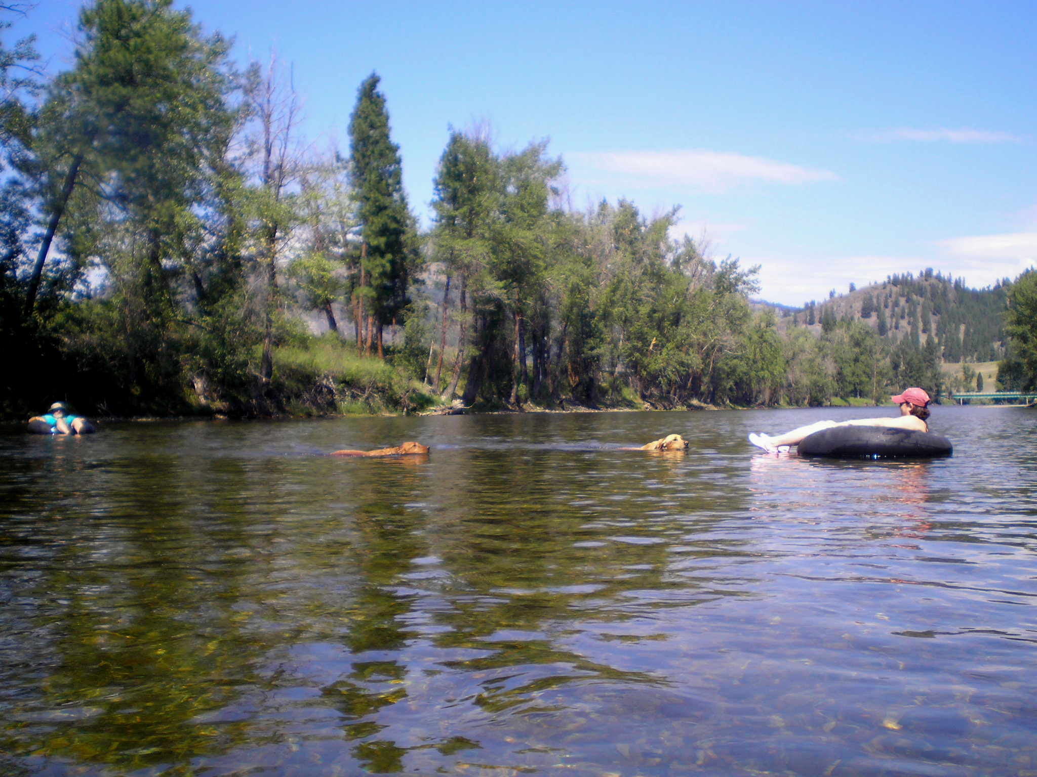
Kettle River valley

Kettle River
The Granby River in Autumn
The bridge at Toroda
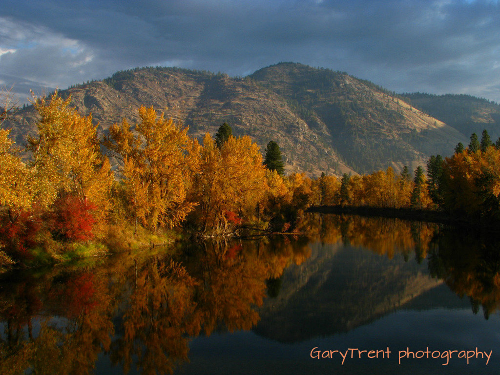
"Kettle of Gold" The Kettle River
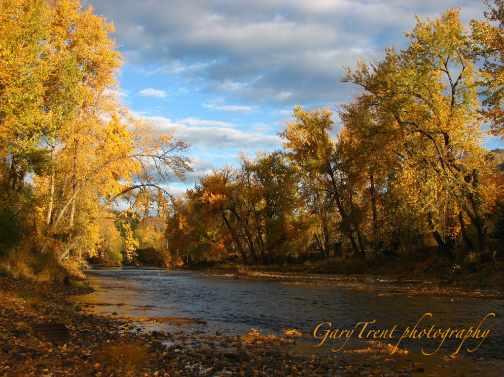
"River of Gold"
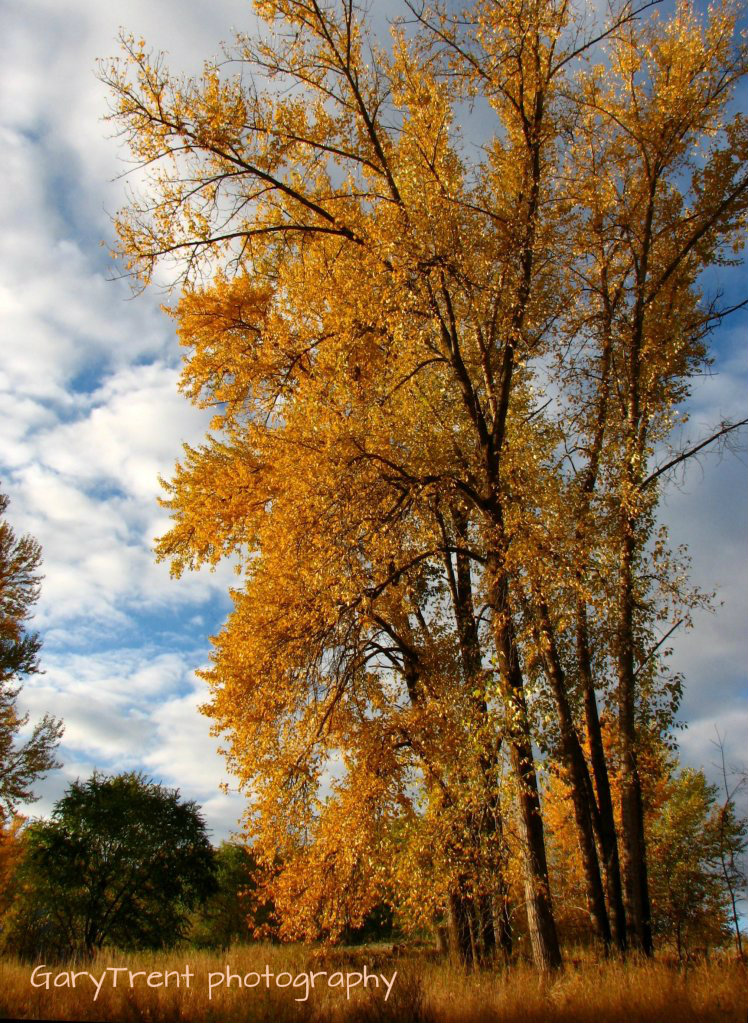
Autumn Giants
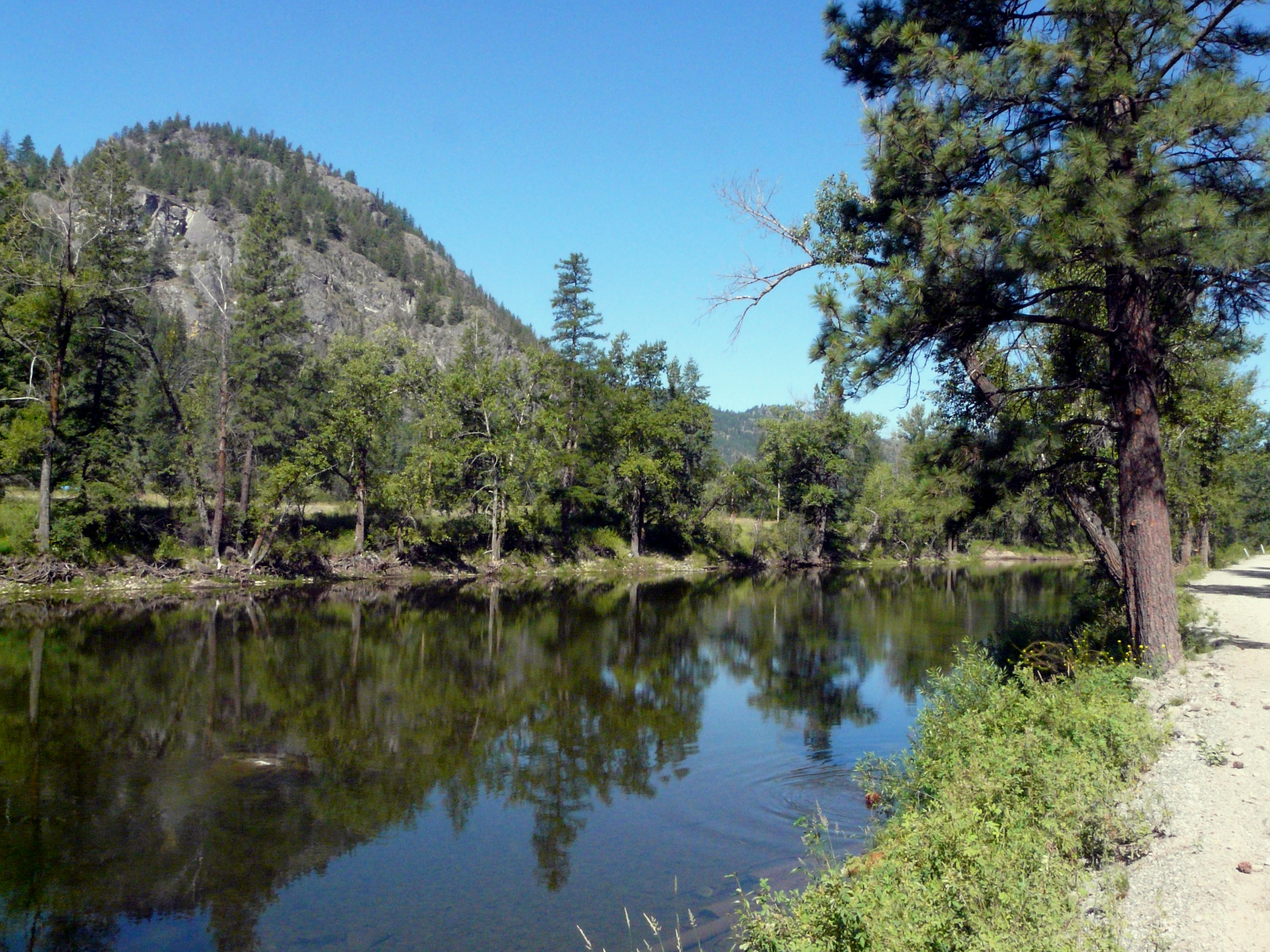
Kettle River
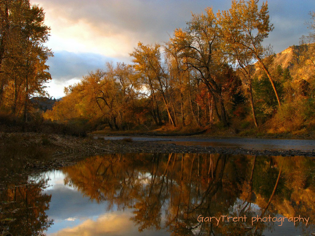
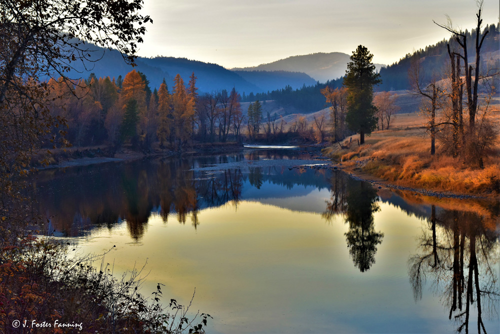
Autumn Reflections
Kettle River
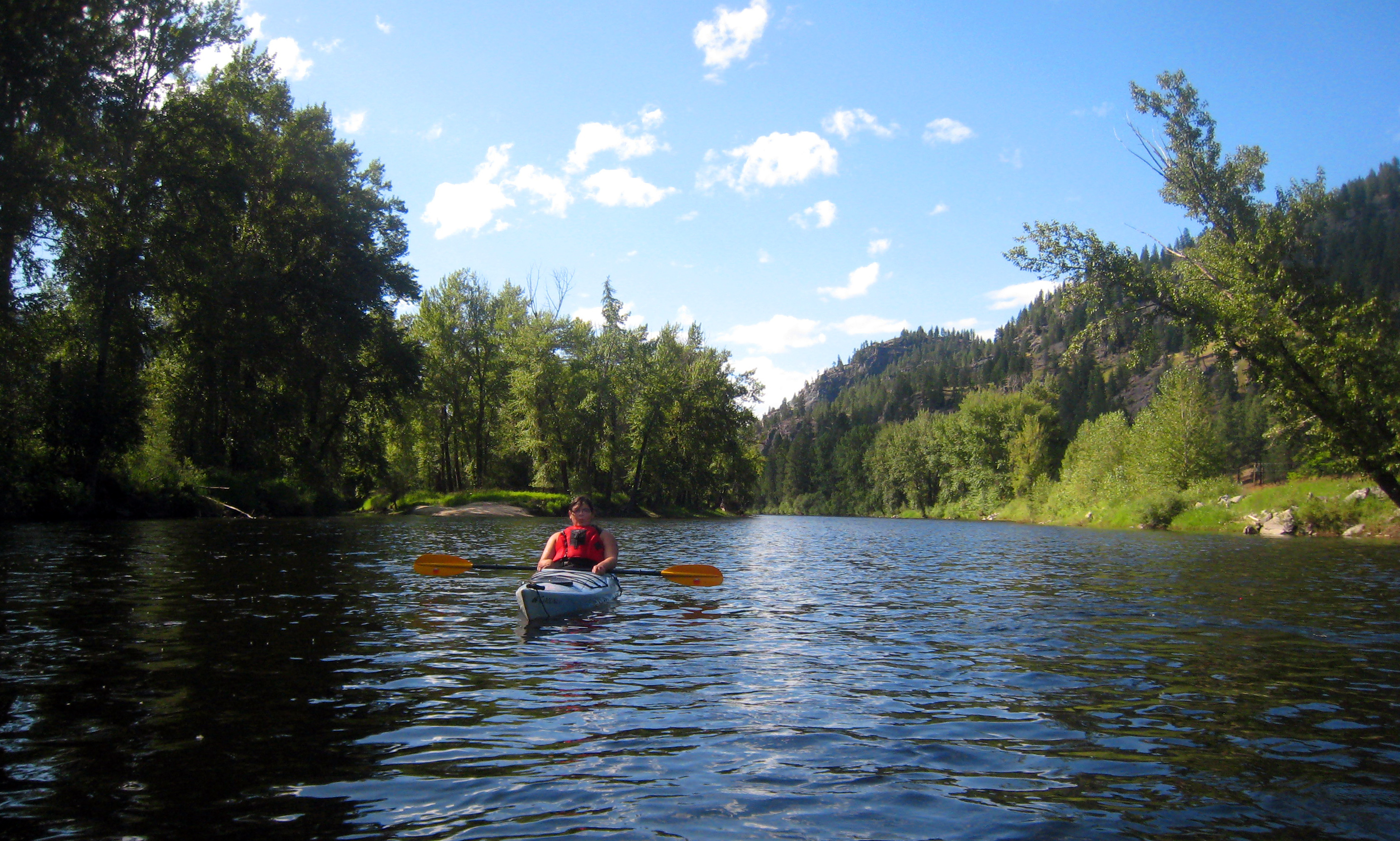
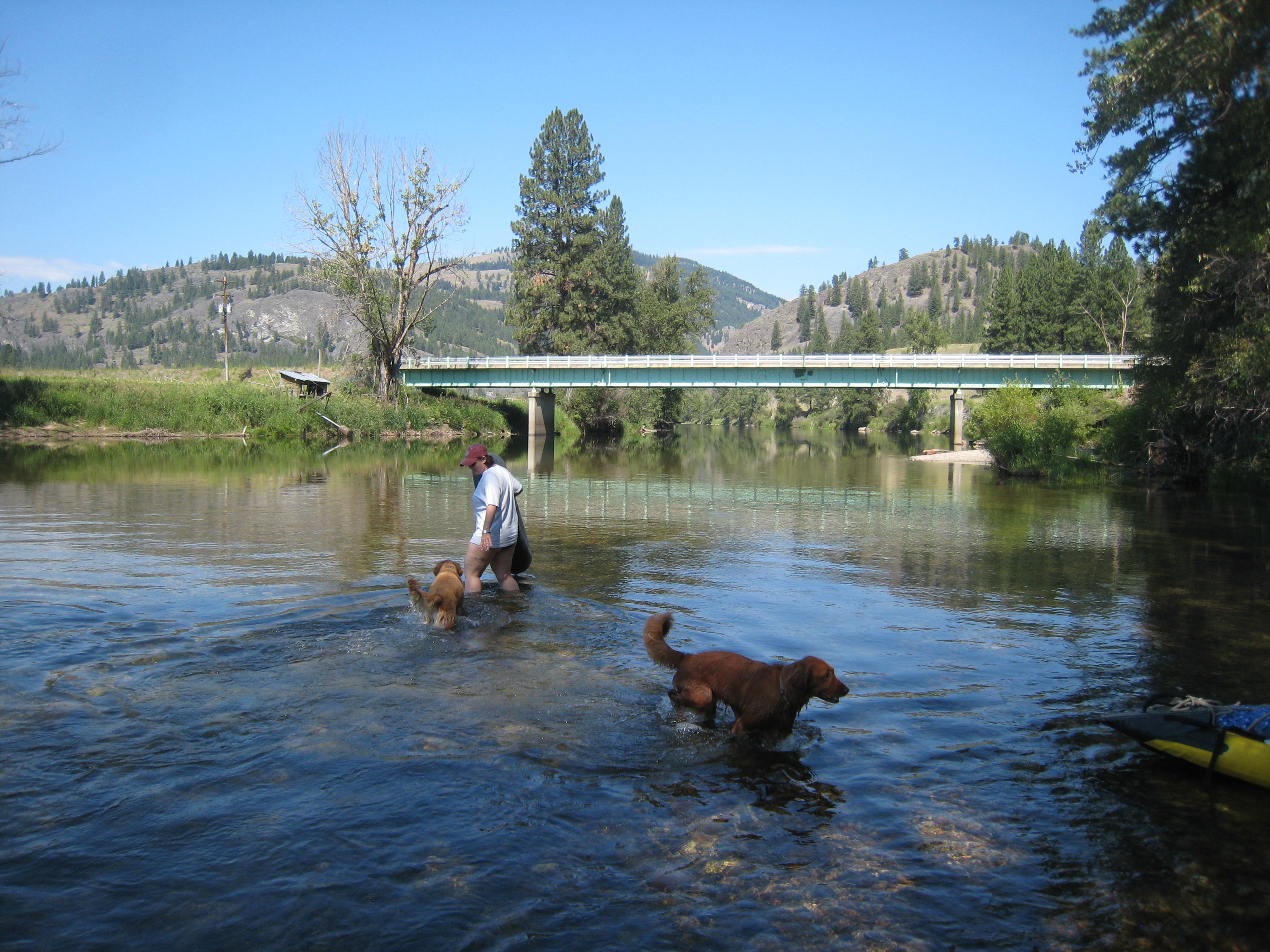
Paddling the Kettle River

Moody River
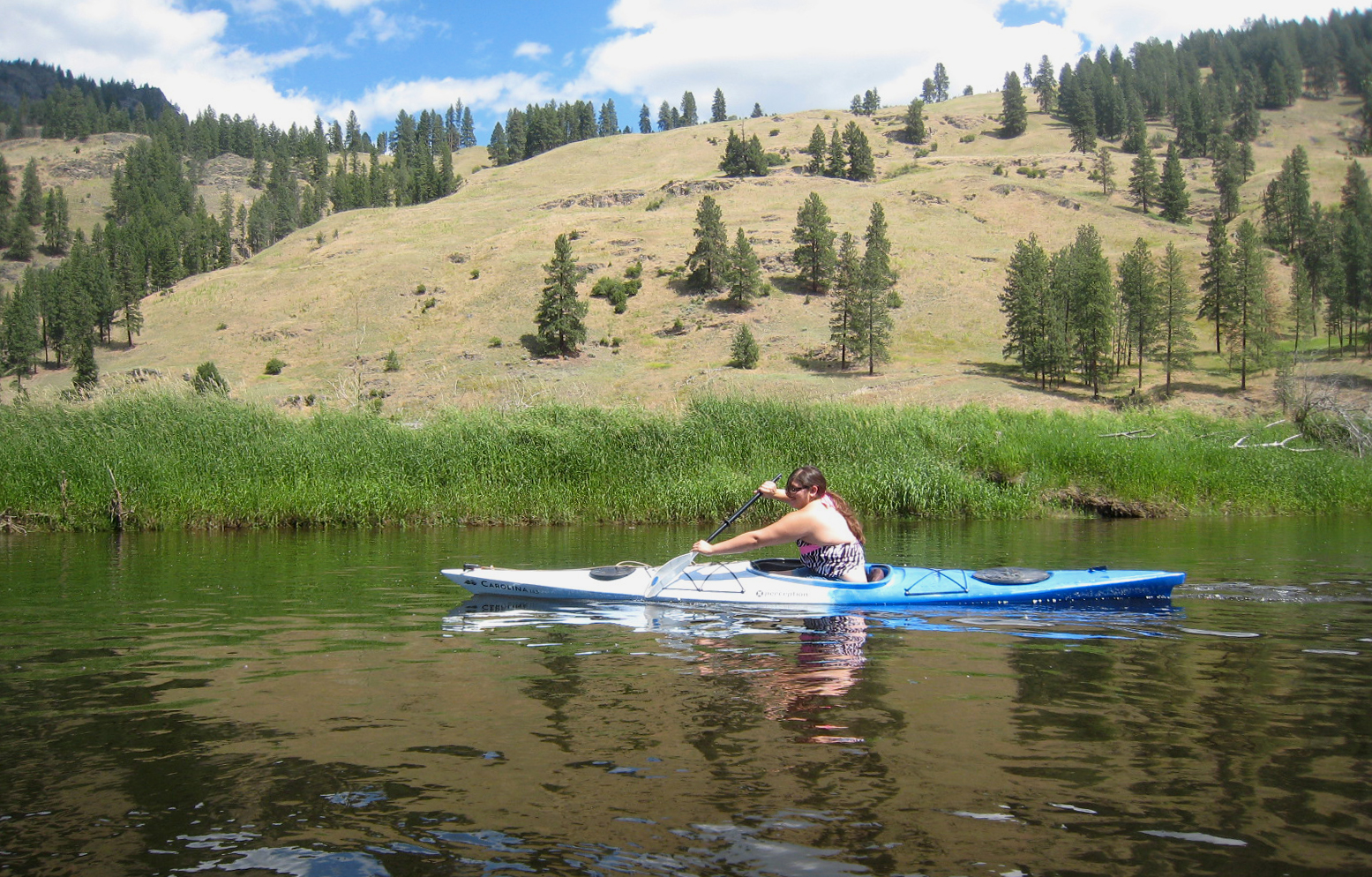
1/2 a paddle
the transfer
WA_09837_Boulder Pass

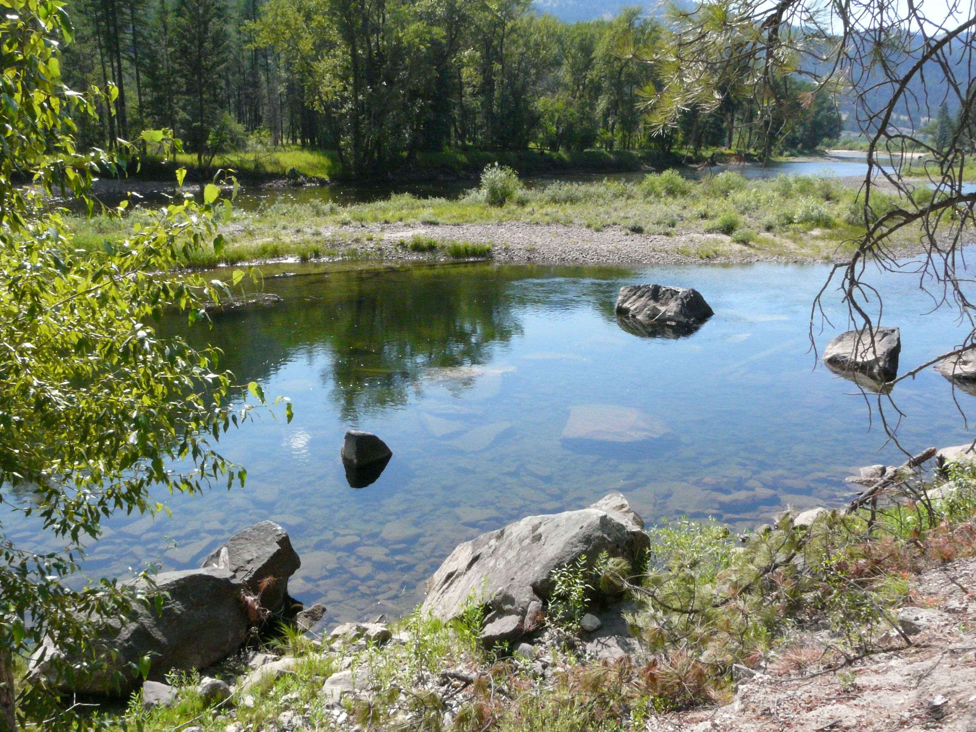
Kettle River
Topographic Map of WA-21, Curlew, WA, USA
Find elevation by address:

Places near WA-21, Curlew, WA, USA:
Rincon Road
Curlew
Danville
19 Snook Dr
4625 Covert Rd
Riverside Avenue
7400 Danshin Village Road
7400 Danshin Village Road
7400 Danshin Village Road
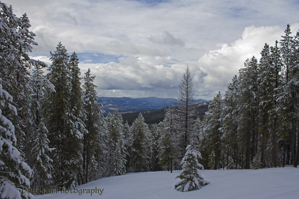
White Mountain
7571 23 St
5790 Beatrice St
5790 Beatrice St
5790 Beatrice St
1860 Manly Way
6024 12 Th St
Kettle River Drive
7878 16 St
7878 16 St
390 Prospect Dr
Recent Searches:
- Elevation of Congressional Dr, Stevensville, MD, USA
- Elevation of Bellview Rd, McLean, VA, USA
- Elevation of Stage Island Rd, Chatham, MA, USA
- Elevation of Shibuya Scramble Crossing, 21 Udagawacho, Shibuya City, Tokyo -, Japan
- Elevation of Jadagoniai, Kaunas District Municipality, Lithuania
- Elevation of Pagonija rock, Kranto 7-oji g. 8"N, Kaunas, Lithuania
- Elevation of Co Rd 87, Jamestown, CO, USA
- Elevation of Tenjo, Cundinamarca, Colombia
- Elevation of Côte-des-Neiges, Montreal, QC H4A 3J6, Canada
- Elevation of Bobcat Dr, Helena, MT, USA