Elevation of 23 St, Grand Forks, BC V0H 1H2, Canada
Location: Canada > British Columbia > Kootenay Boundary > Grand Forks >
Longitude: -118.46798
Latitude: 49.0284203
Elevation: 529m / 1736feet
Barometric Pressure: 95KPa
Elevation Map:
Satellite Map:
Related Photos:

Palliative support for Grand Forks
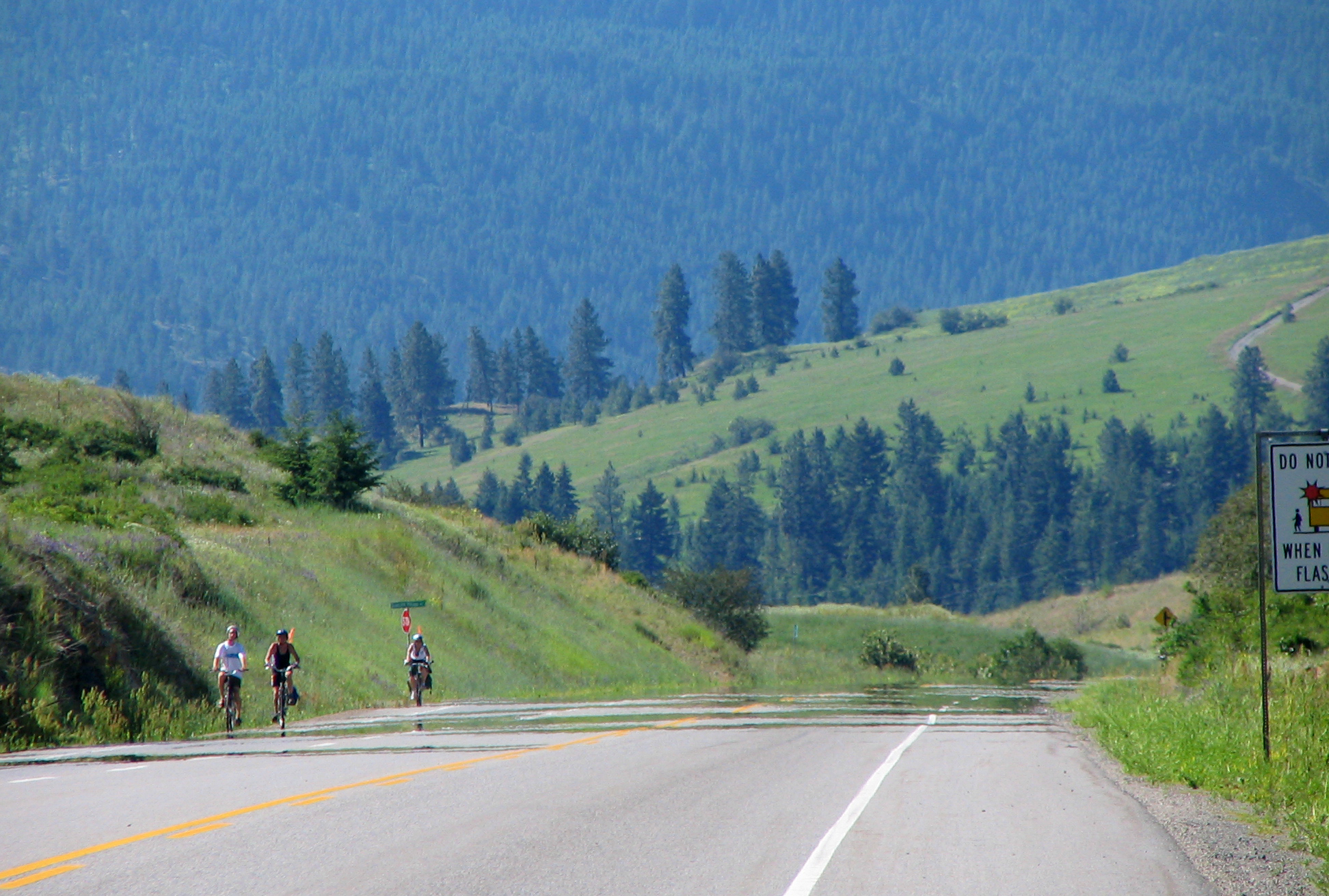
Climbing toward the Eholt Summit
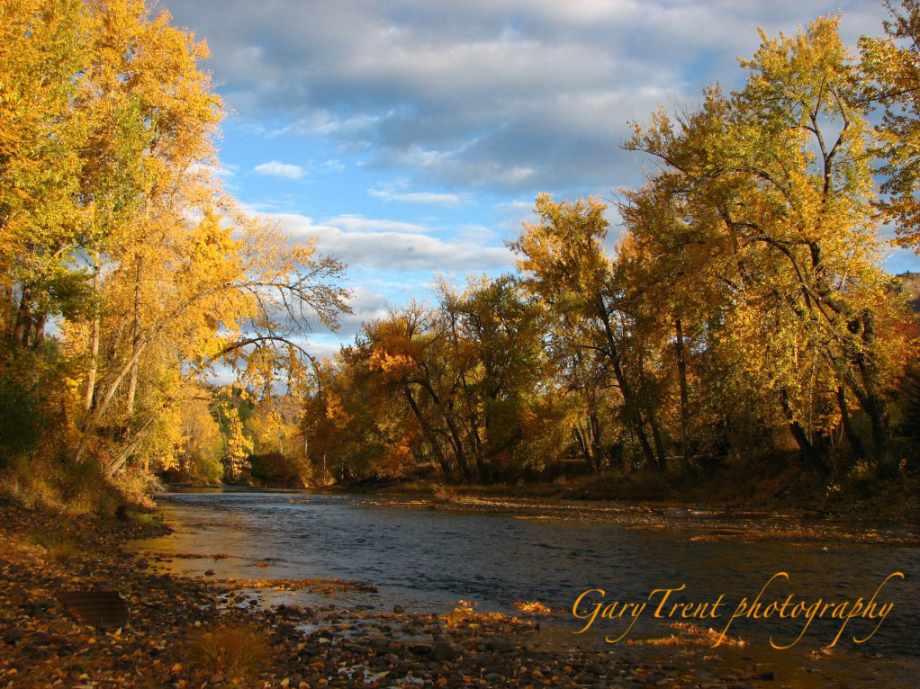
The Granby River in Autumn
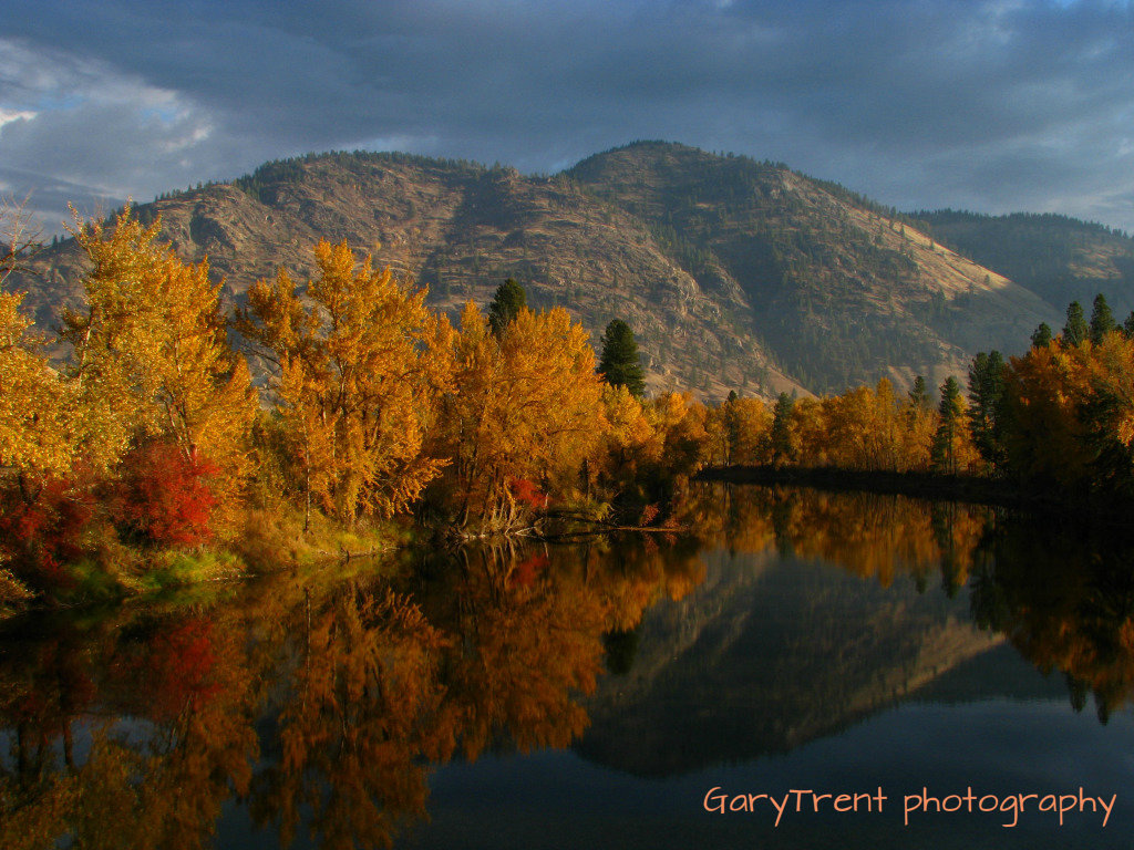
"River of Gold"
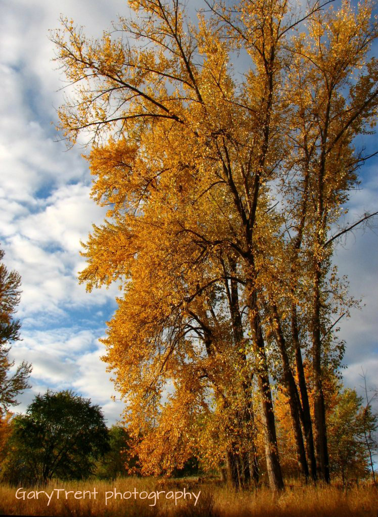
Autumn Giants
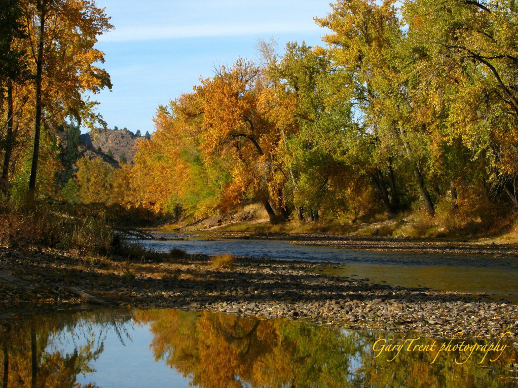
"Kettle of Gold" The Kettle River
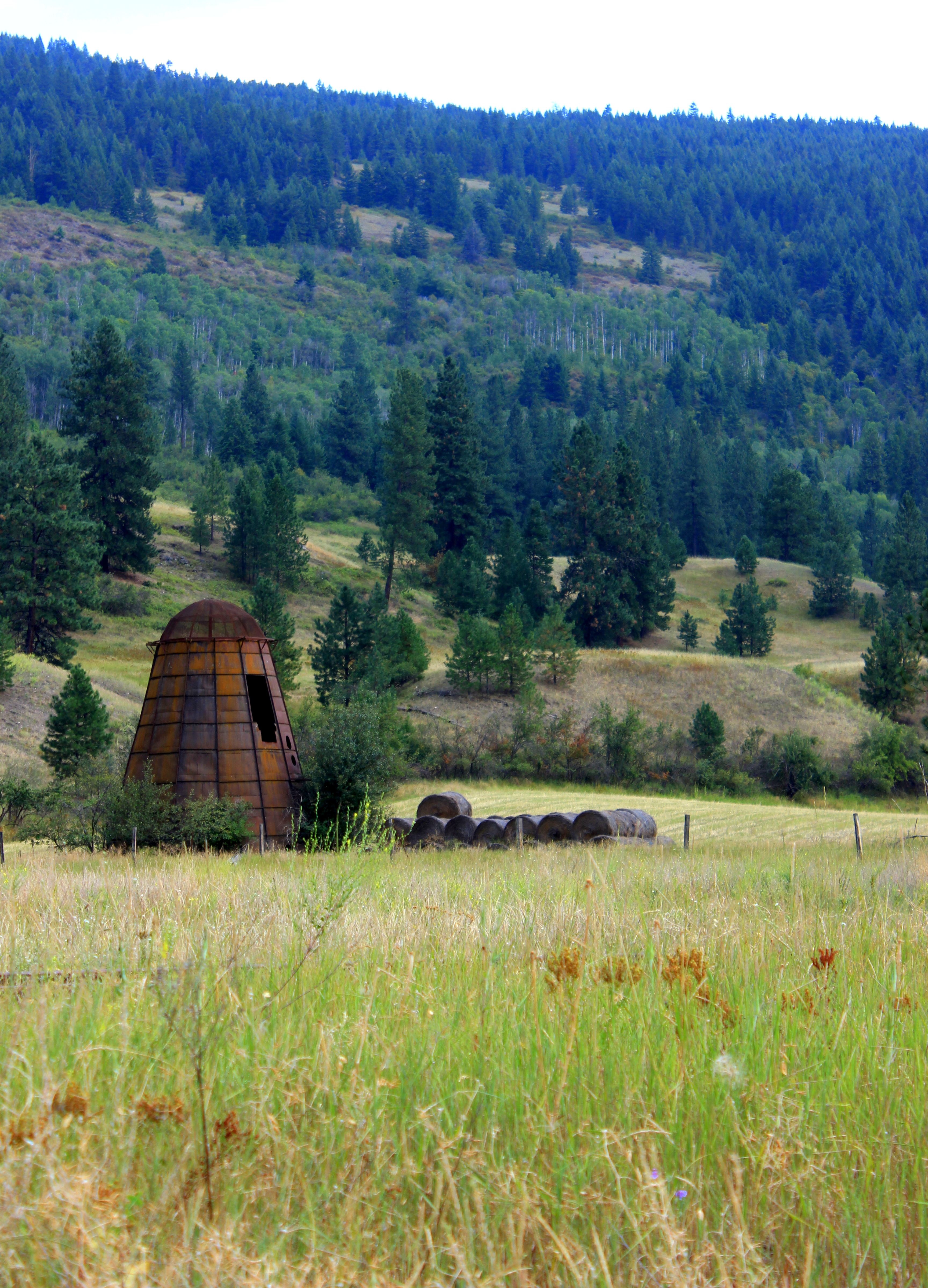
rusty old beehive burner at the Canadian / US Border
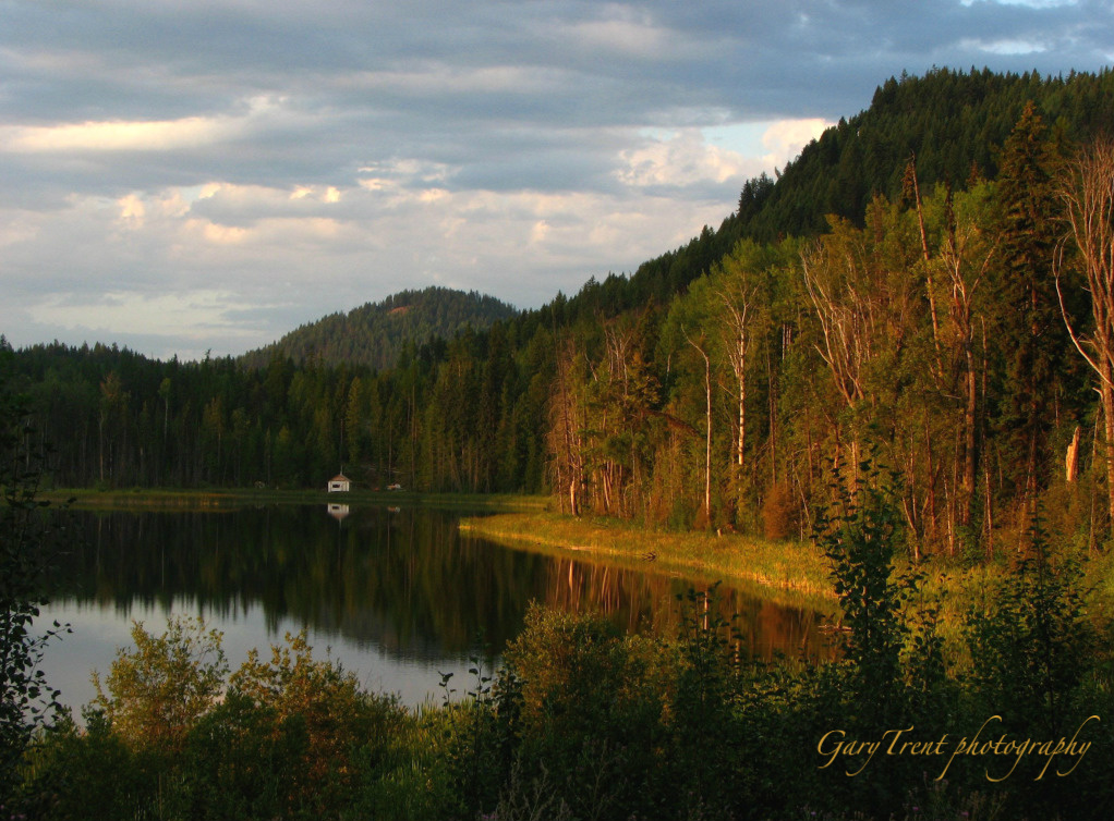
Wilgress Lake morning
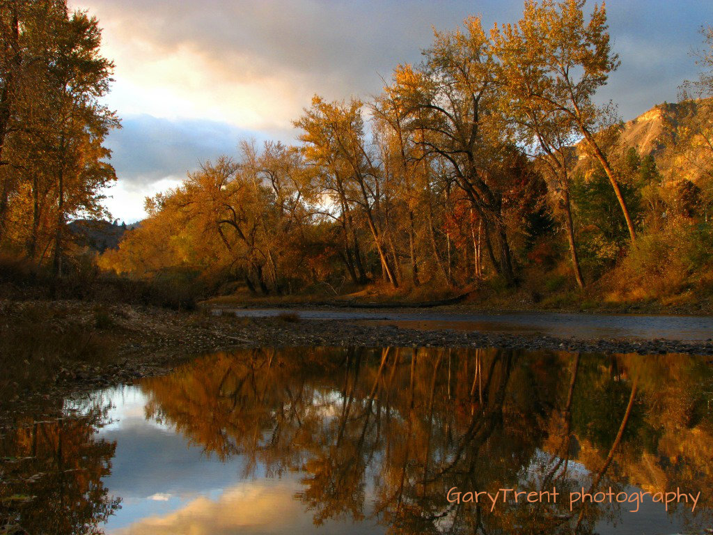
Autumn Reflections
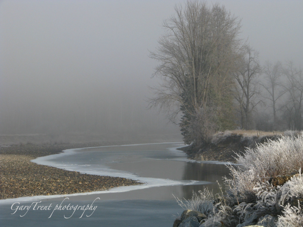
A Foggy Day

Moody River

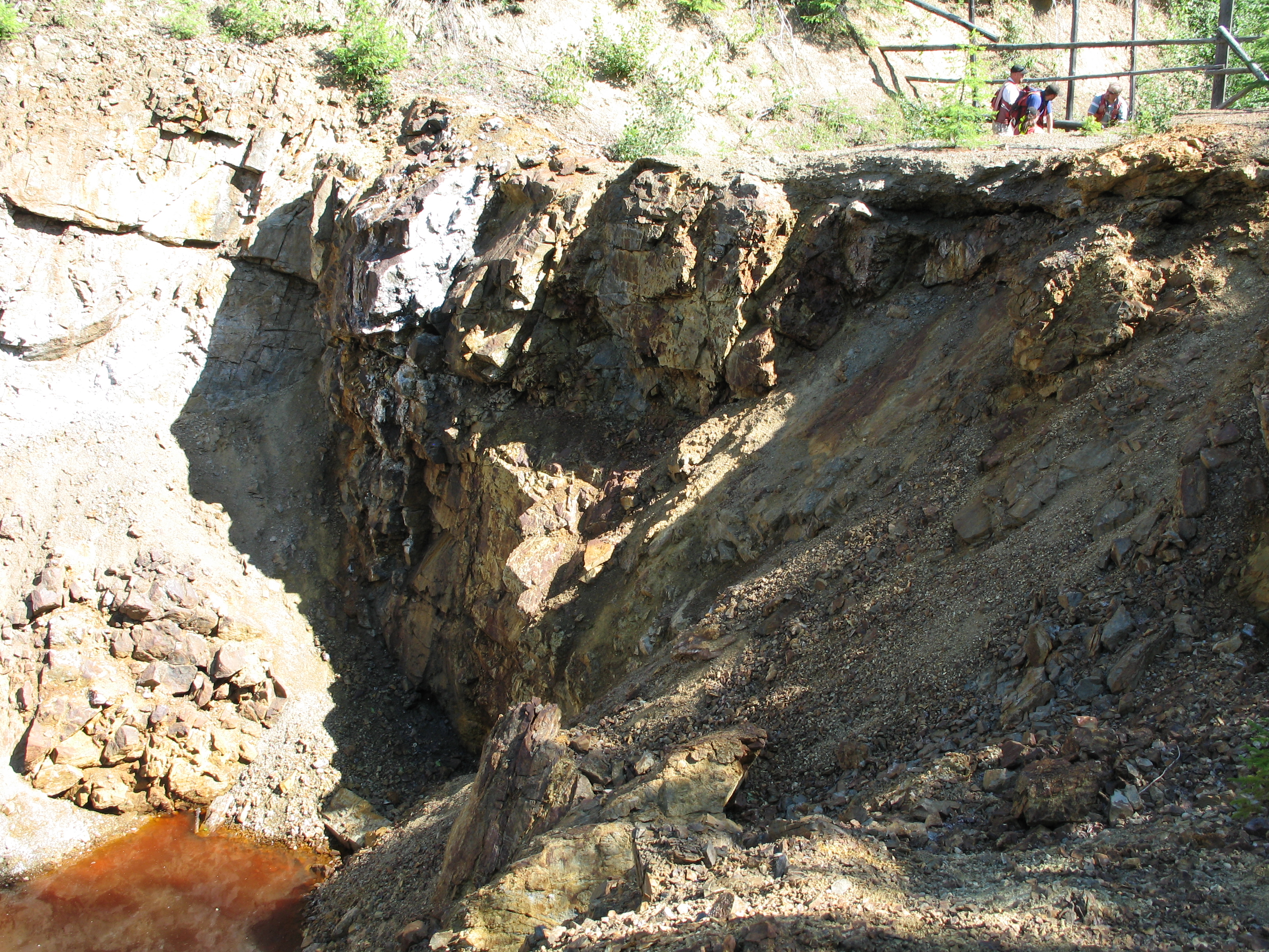
Phoenix townsite and mine 2011-10-30 006
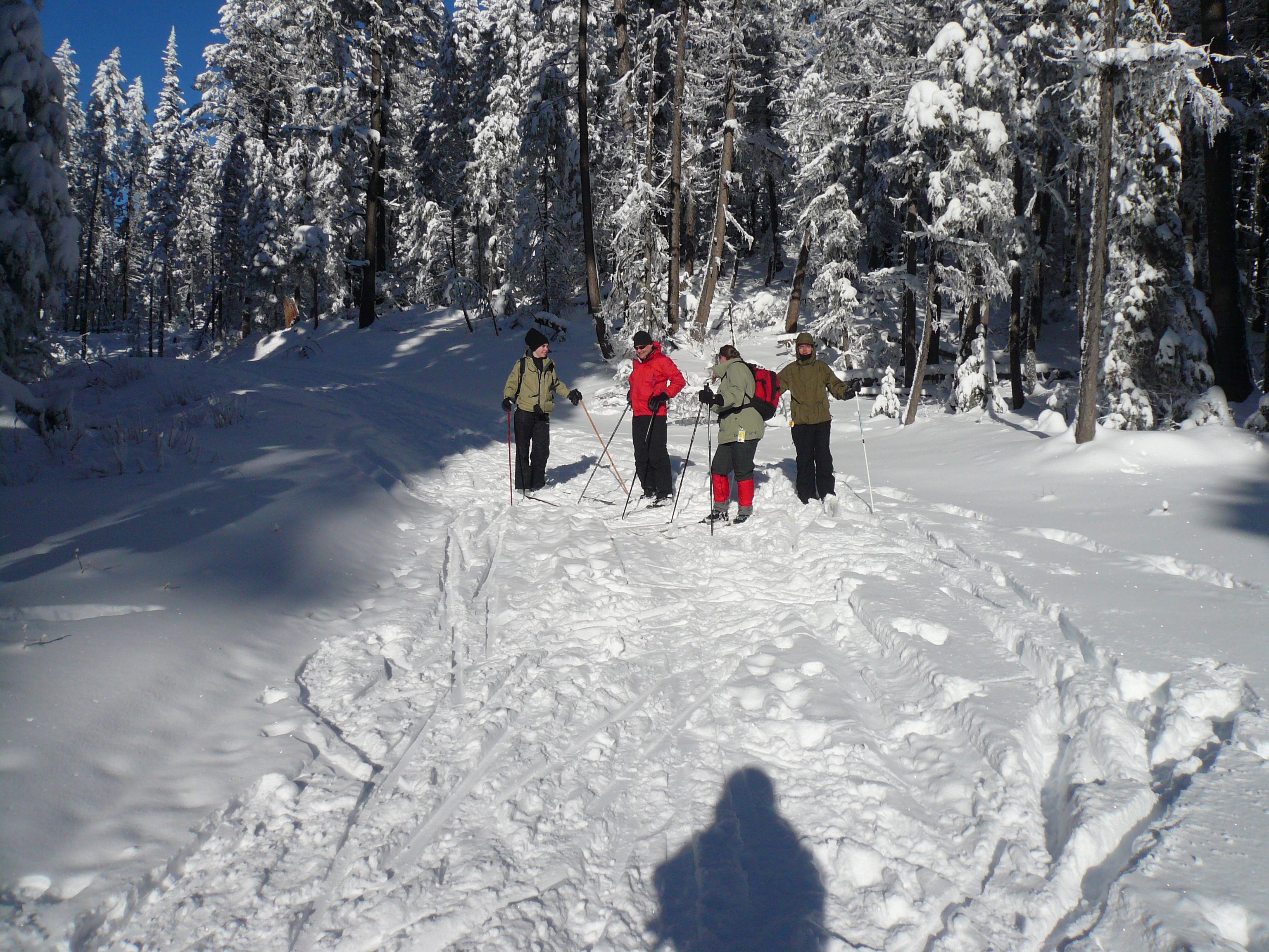
Group photo
July 09 001
May Long GF 033
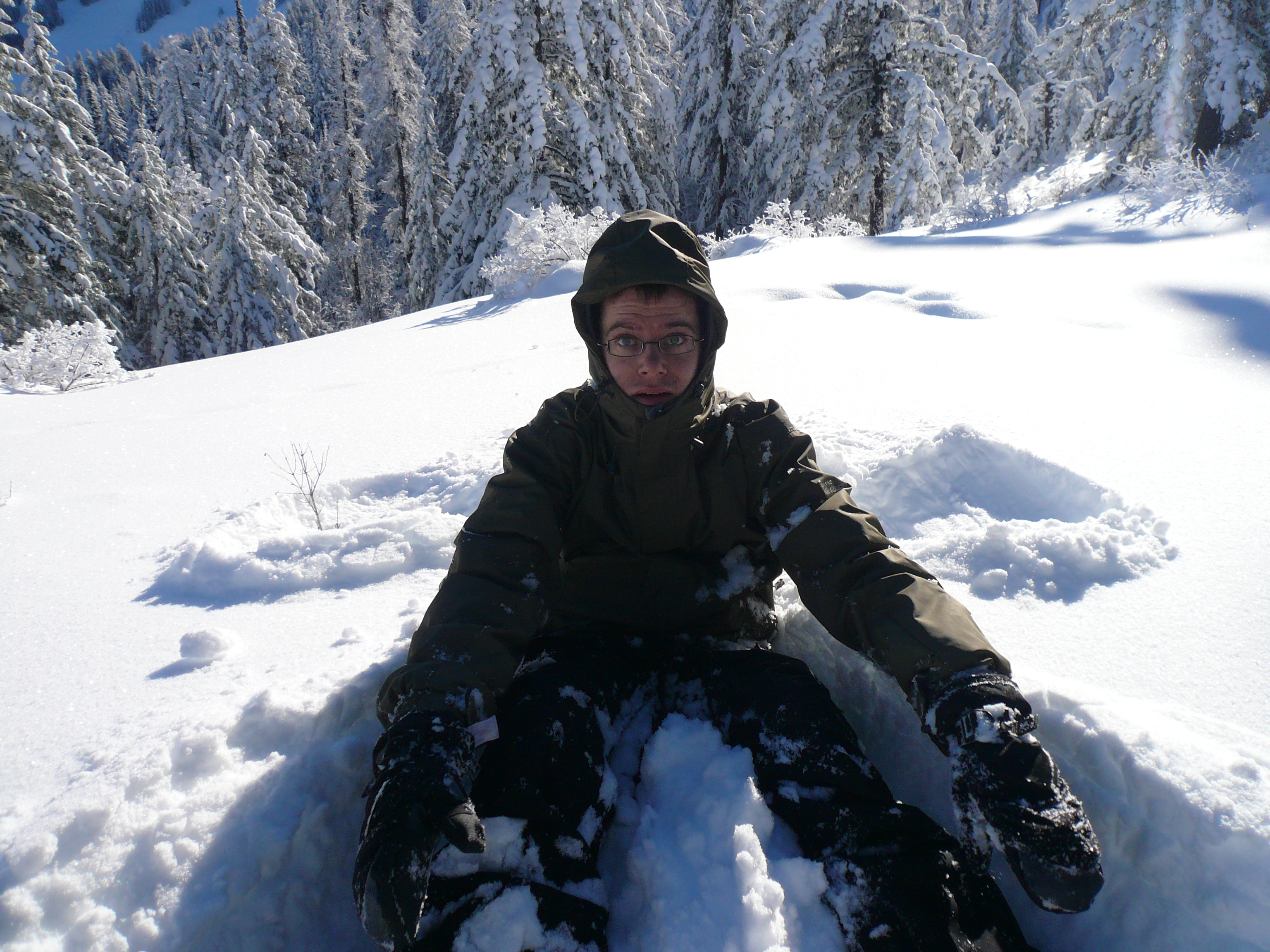
Aurel needs help getting up
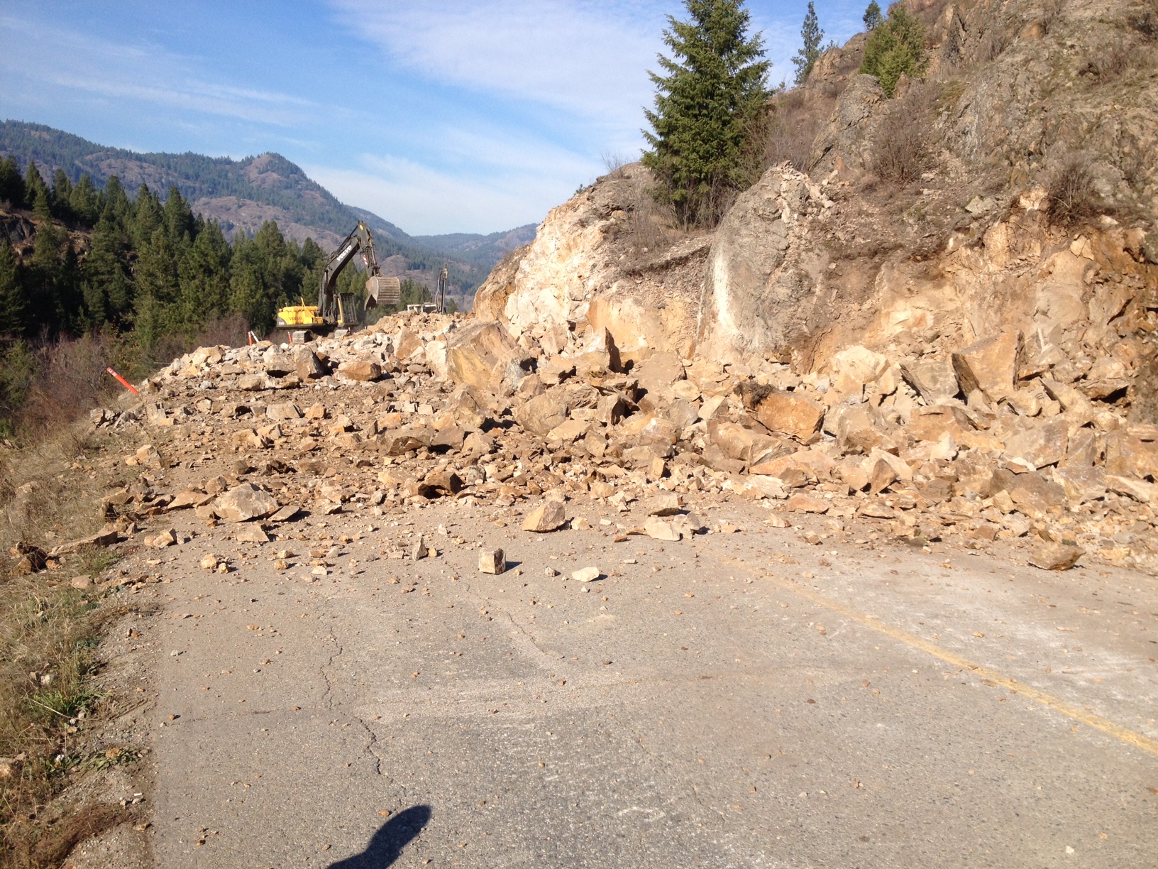
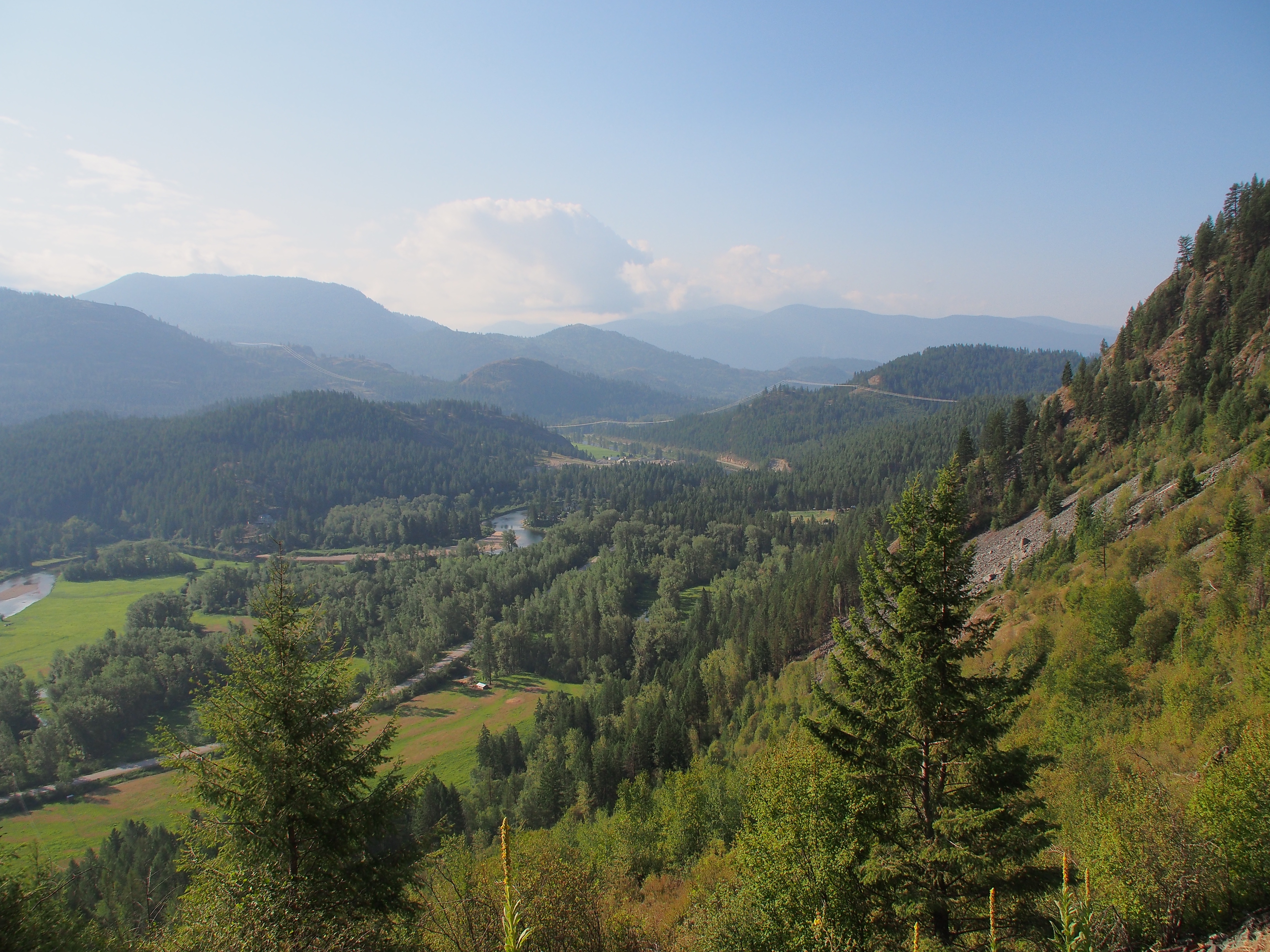
Granby Road Blasting
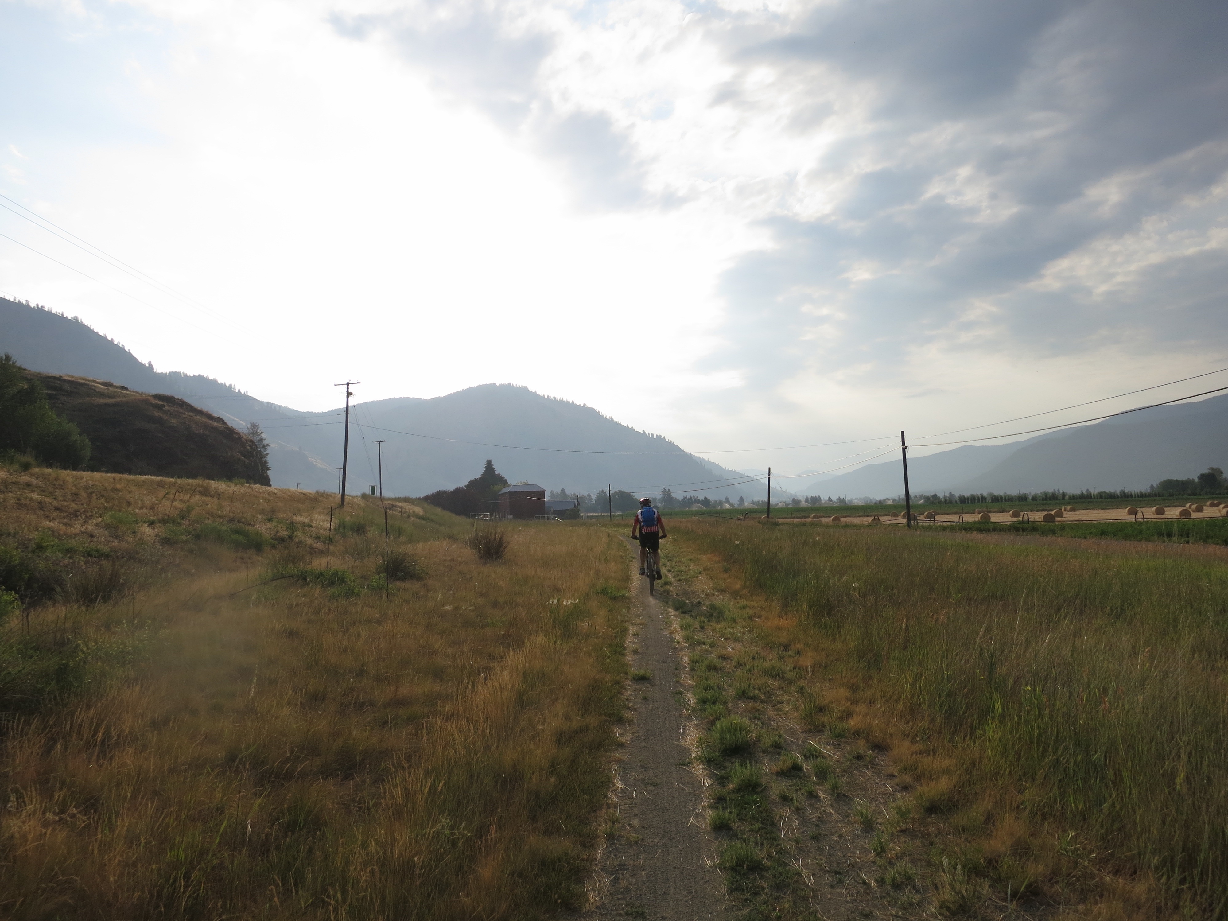
Heading east
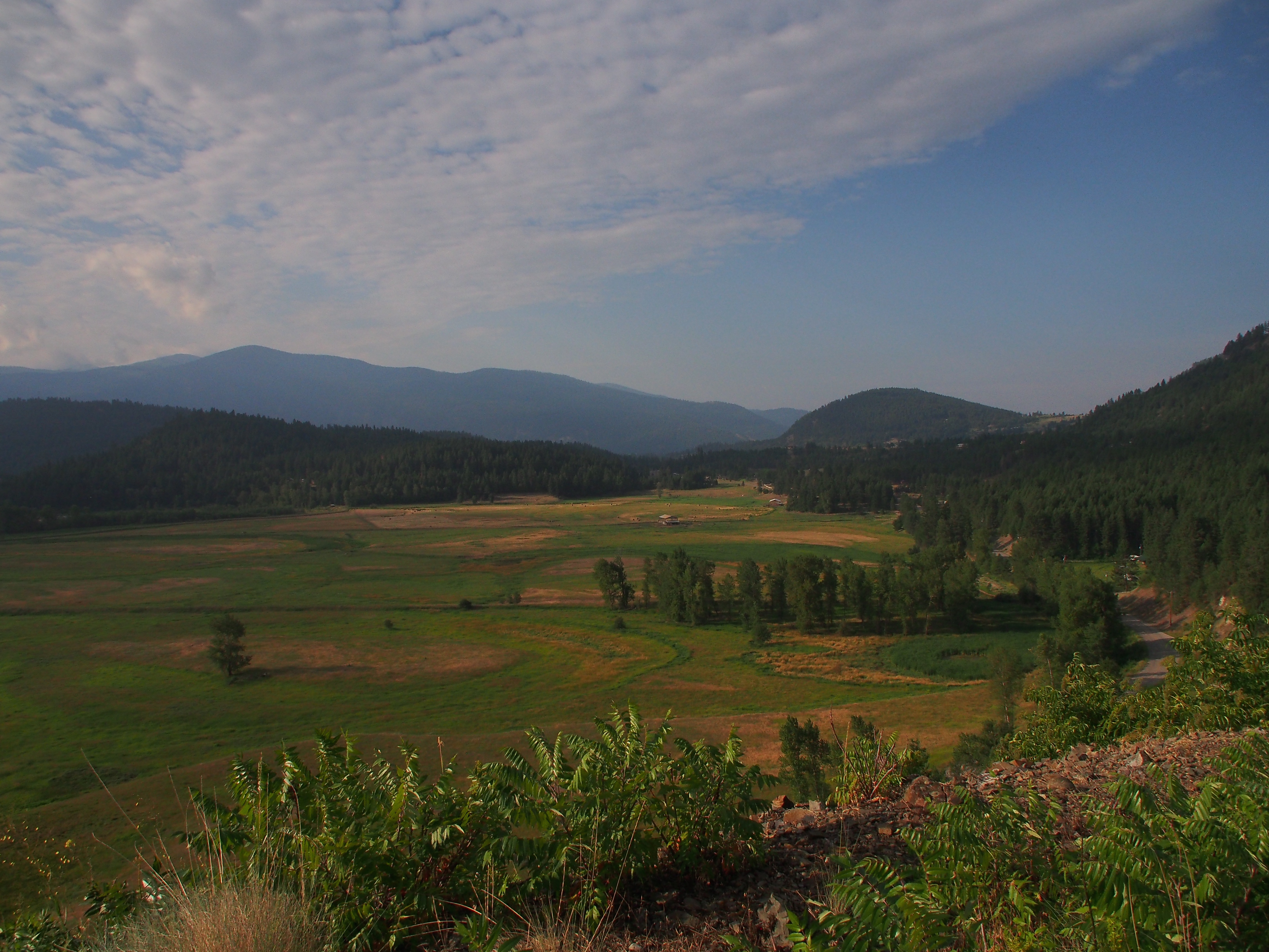
Granby valley towards Grand Forks
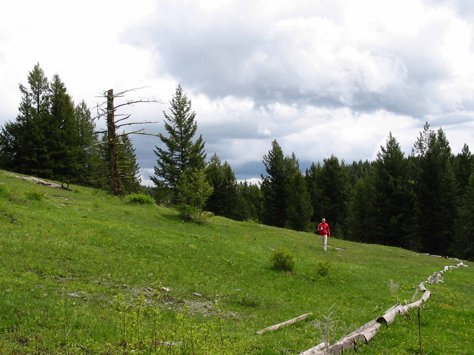
Gilpin Grasslands
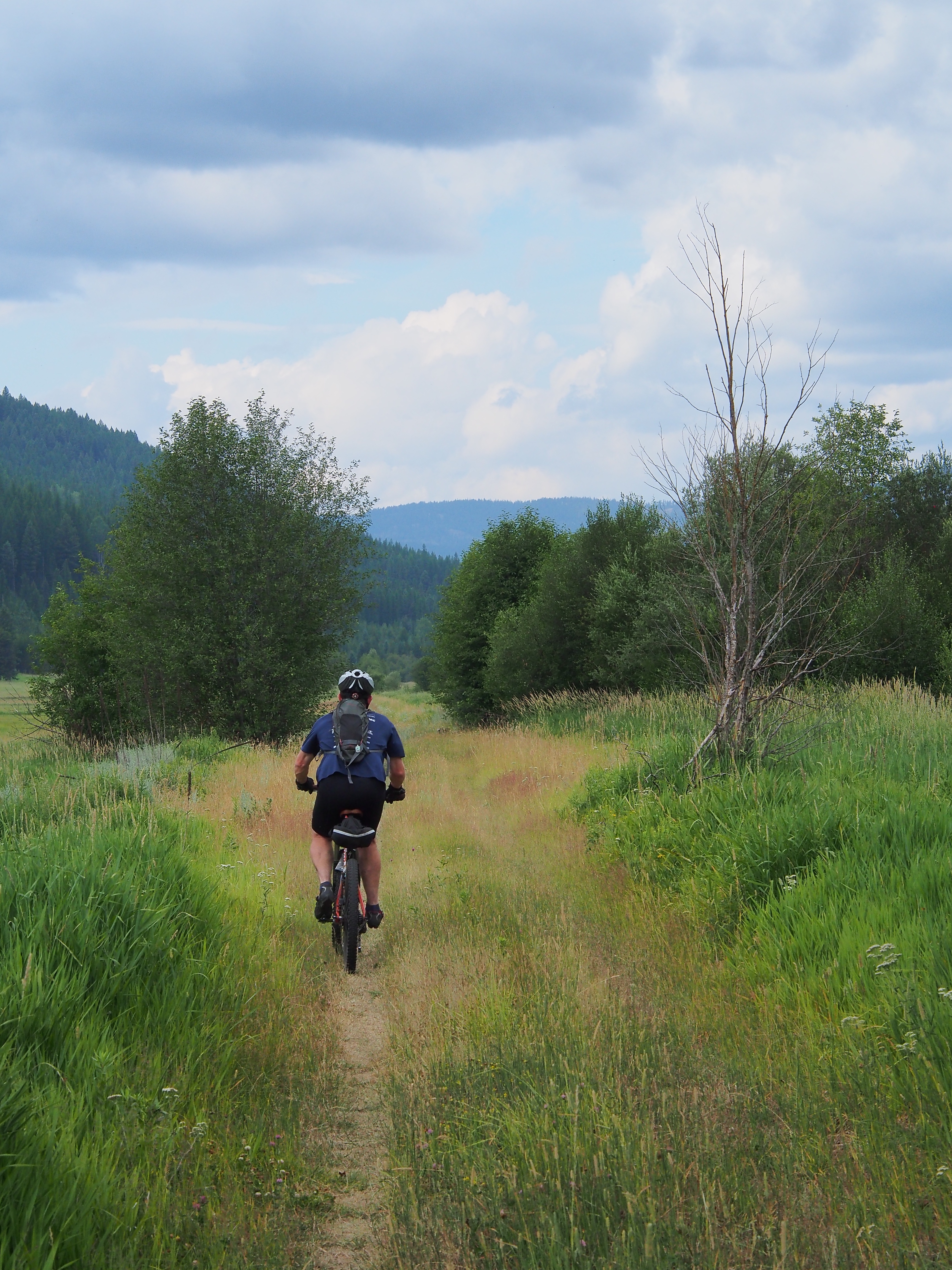
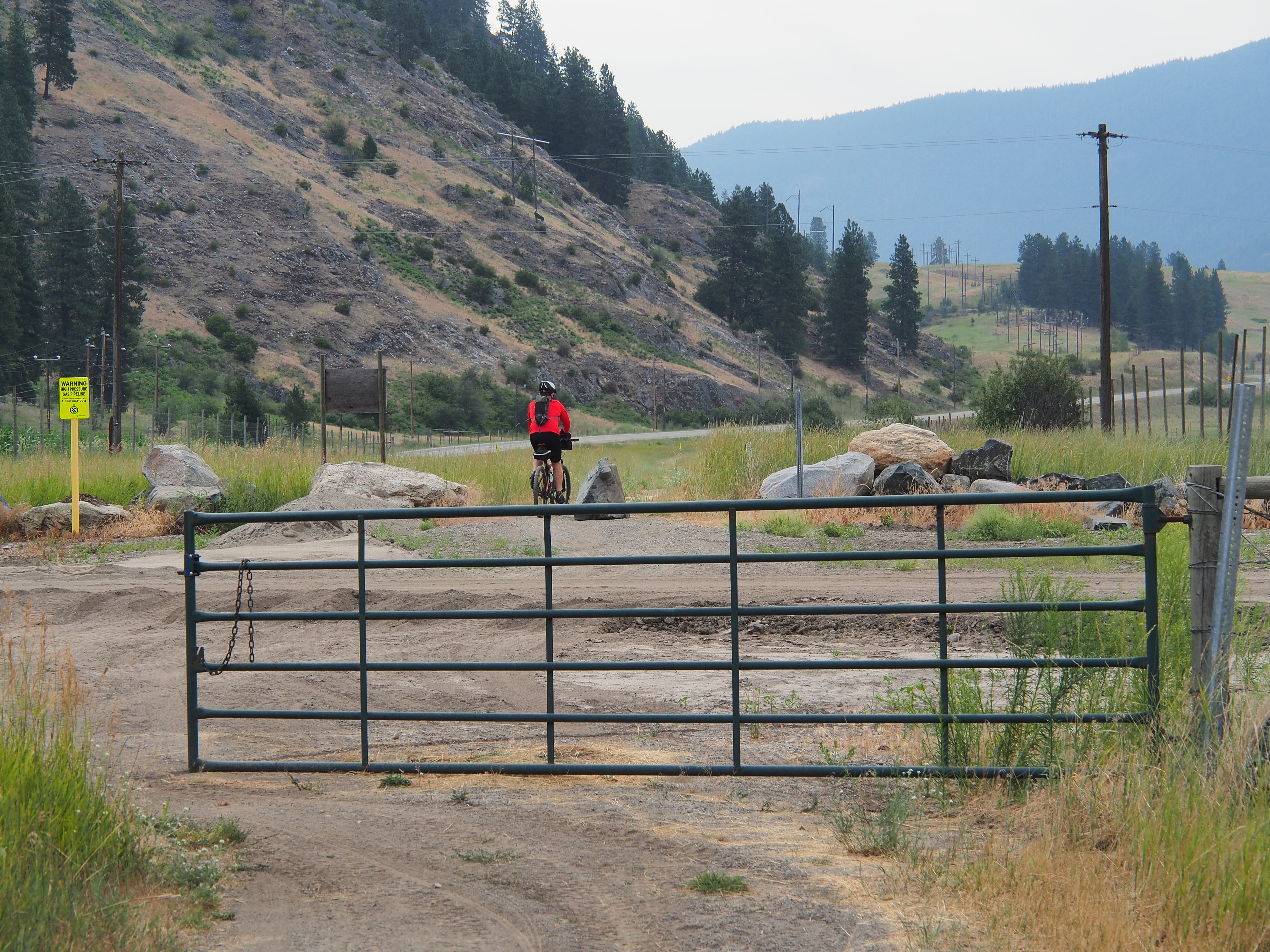
Leaving Eholt
Down the Granby valley
Topographic Map of 23 St, Grand Forks, BC V0H 1H2, Canada
Find elevation by address:

Places near 23 St, Grand Forks, BC V0H 1H2, Canada:
1860 Manly Way
7878 16 St
7878 16 St
Kettle River Drive
1065 Kettle River Dr
6024 12 Th St
Grand Forks
5790 Beatrice St
5790 Beatrice St
5790 Beatrice St
726 64 Ave
5585 5 St
5585 5 St
319 Starchuk Rd
310 Starchuk Rd
410 Starchuk Rd
455 Gilpin Rd
Togo Mountain
Rocky Mountain
Marble Mountain
Recent Searches:
- Elevation of Gateway Blvd SE, Canton, OH, USA
- Elevation of East W.T. Harris Boulevard, E W.T. Harris Blvd, Charlotte, NC, USA
- Elevation of West Sugar Creek, Charlotte, NC, USA
- Elevation of Wayland, NY, USA
- Elevation of Steadfast Ct, Daphne, AL, USA
- Elevation of Lagasgasan, X+CQH, Tiaong, Quezon, Philippines
- Elevation of Rojo Ct, Atascadero, CA, USA
- Elevation of Flagstaff Drive, Flagstaff Dr, North Carolina, USA
- Elevation of Avery Ln, Lakeland, FL, USA
- Elevation of Woolwine, VA, USA