Elevation of W Sr 66, Newburgh, IN, USA
Location: United States > Indiana > Warrick County > Anderson Township >
Longitude: -87.372027
Latitude: 37.9324889
Elevation: 119m / 390feet
Barometric Pressure: 100KPa
Elevation Map:
Satellite Map:
Related Photos:
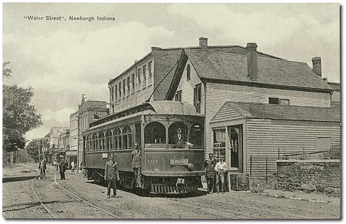
Water Street looking west, Newburgh, Indiana

Warrick County Court House, Boonville, Indiana

Barack and Michelle Obama - Rally - Evansville, IN
Sign on a Country Road

....
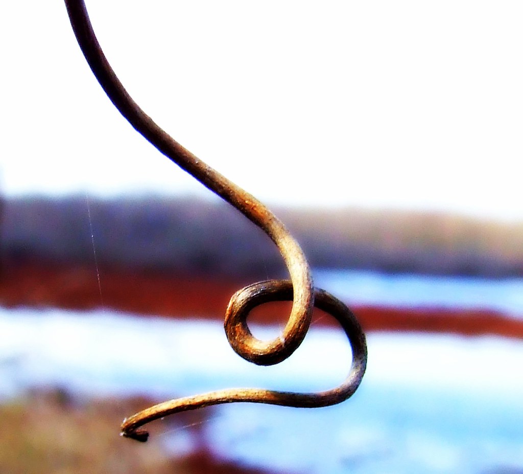
A B/W Curl/Twist

crack the sky (b)
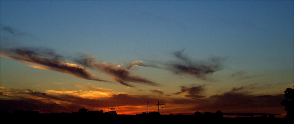
Fire In The Sky
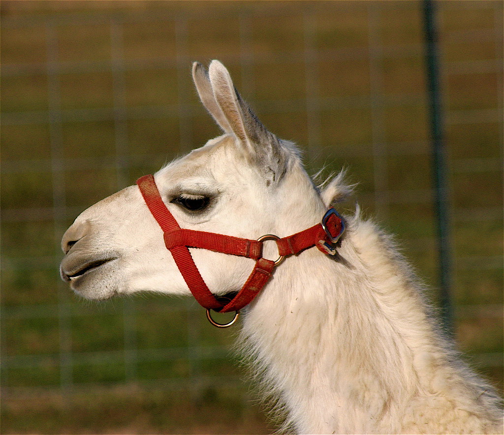
Just Chewin'

Brush Strokes And Silhouettes II

FINALLY Film Focus
..

Water Street looking west, Newburgh, Indiana, section 2

Gliding Hawk
Brush Strokes And Silhouettes V
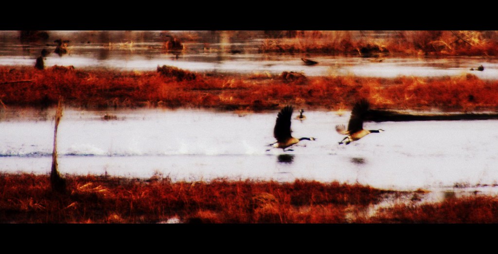
The Chase II
No Pictures Please

The Chase
In Front of a Cyprus Tree..

It's fall

Grape Flavoured Bokeh

Newburgh Water Front
Sunset after the solstice

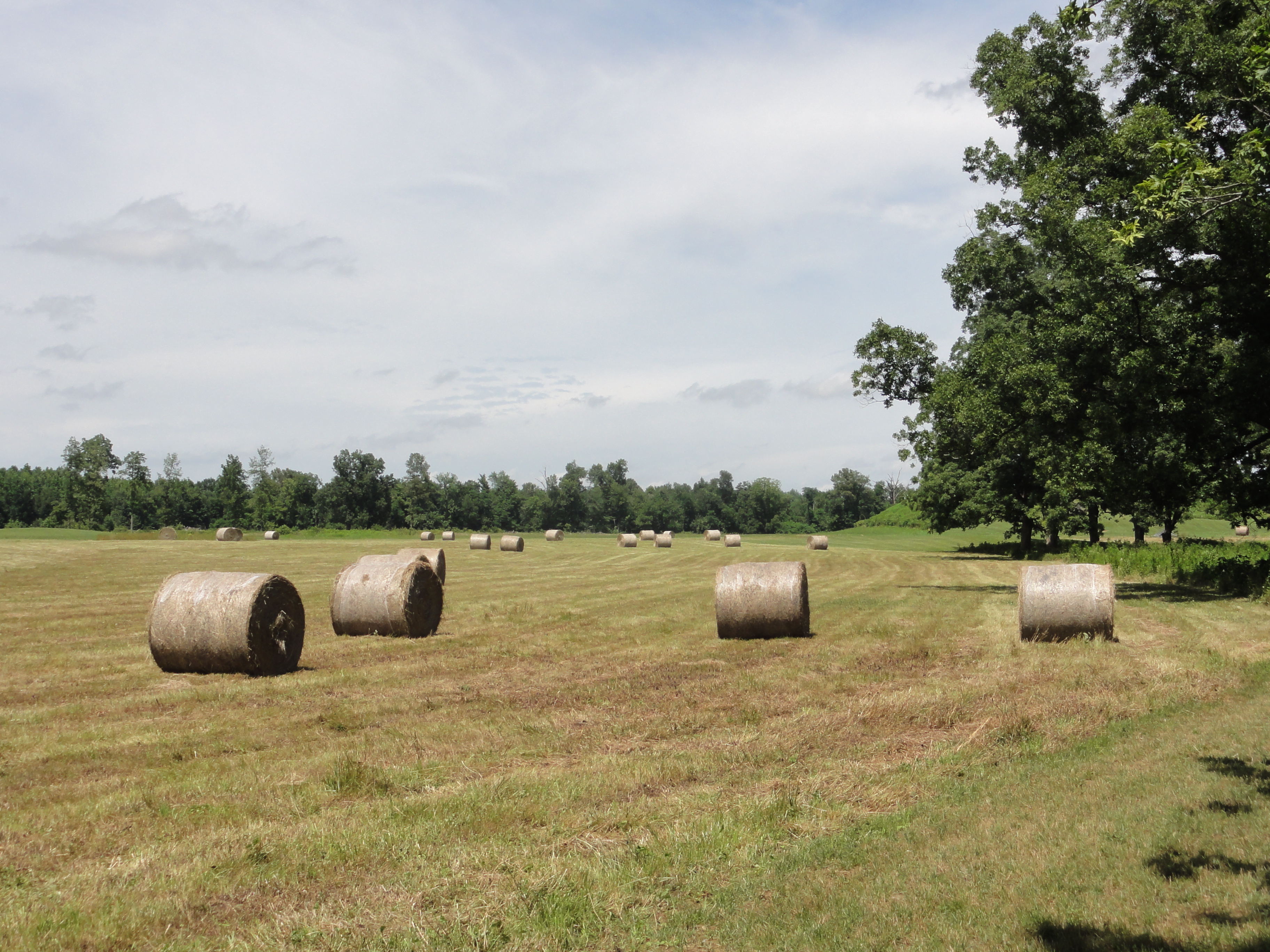
River Bottoms Landscape

Wesselman Woods
Wesselman Woods
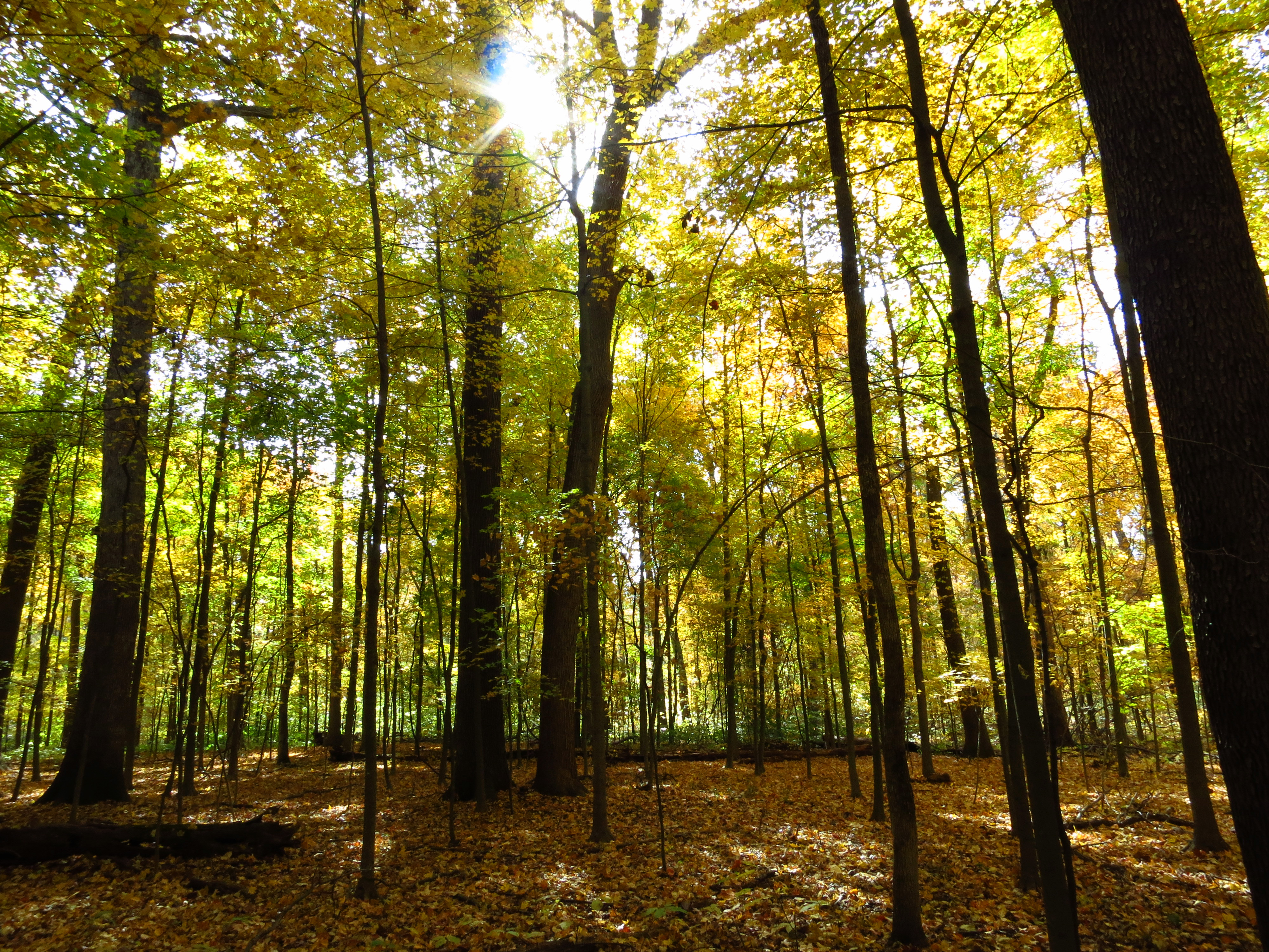
Wesselman Woods
Wesselmans Woods
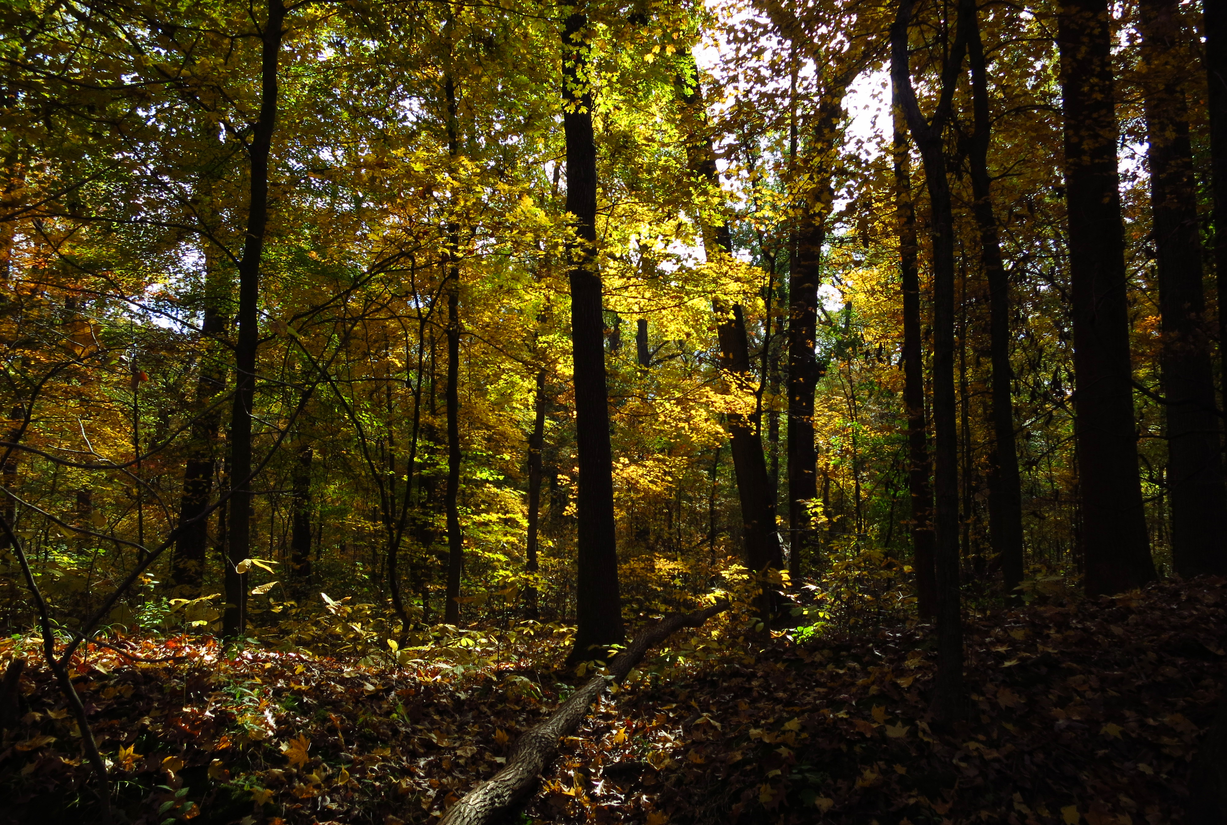
Wesselman Woods
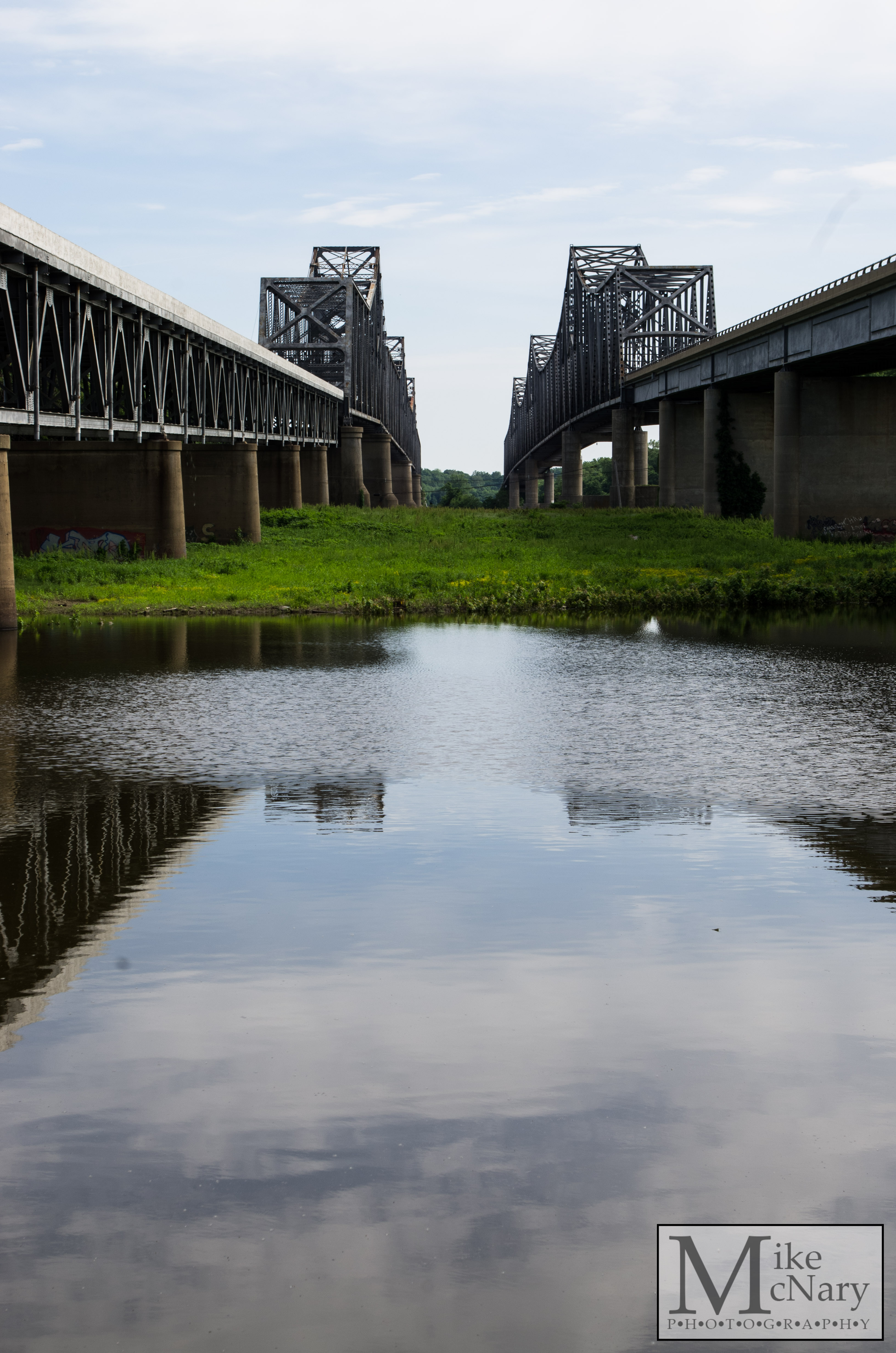
Twin Bridges
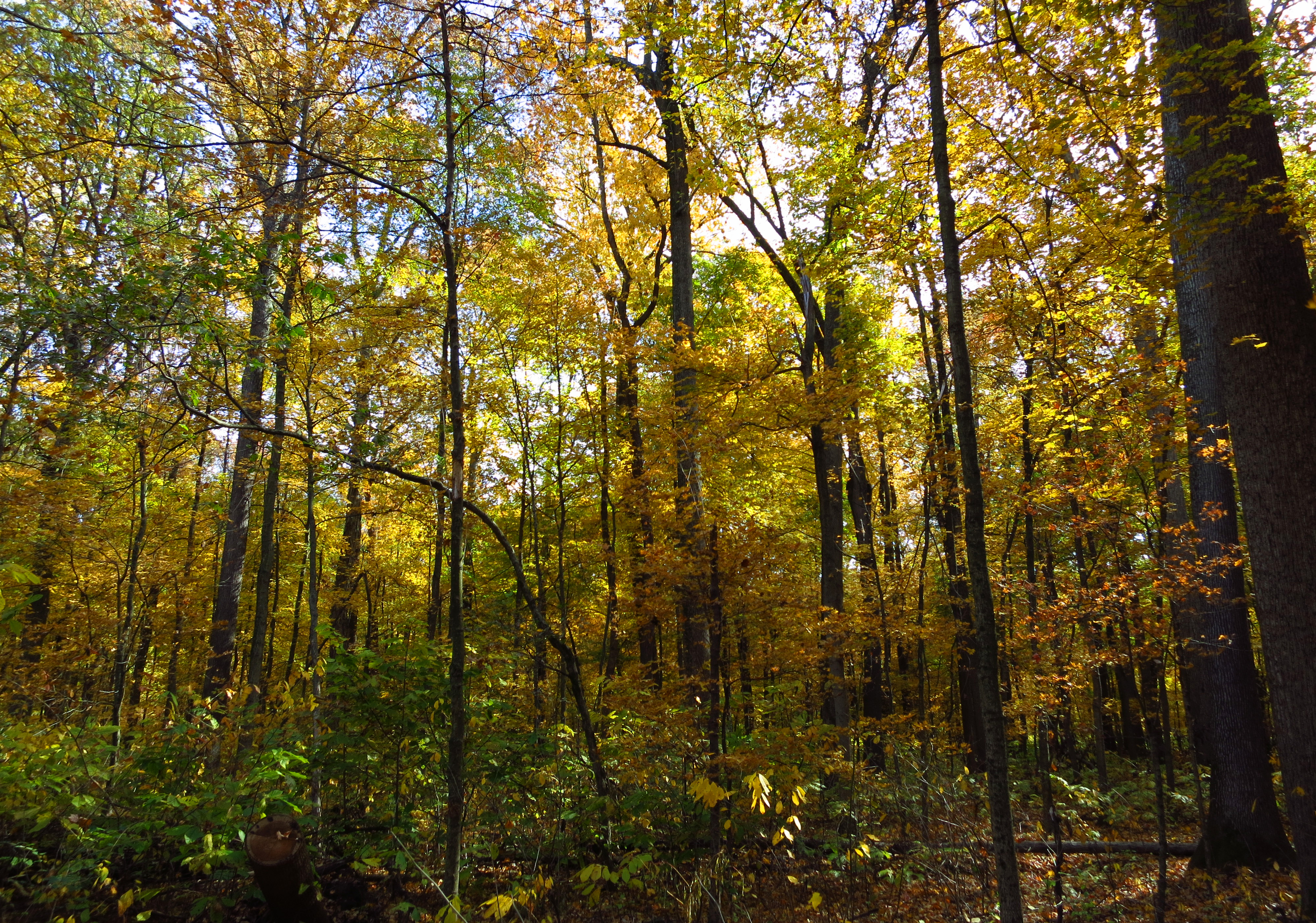
Wesselman Woods
Wesselman Woods
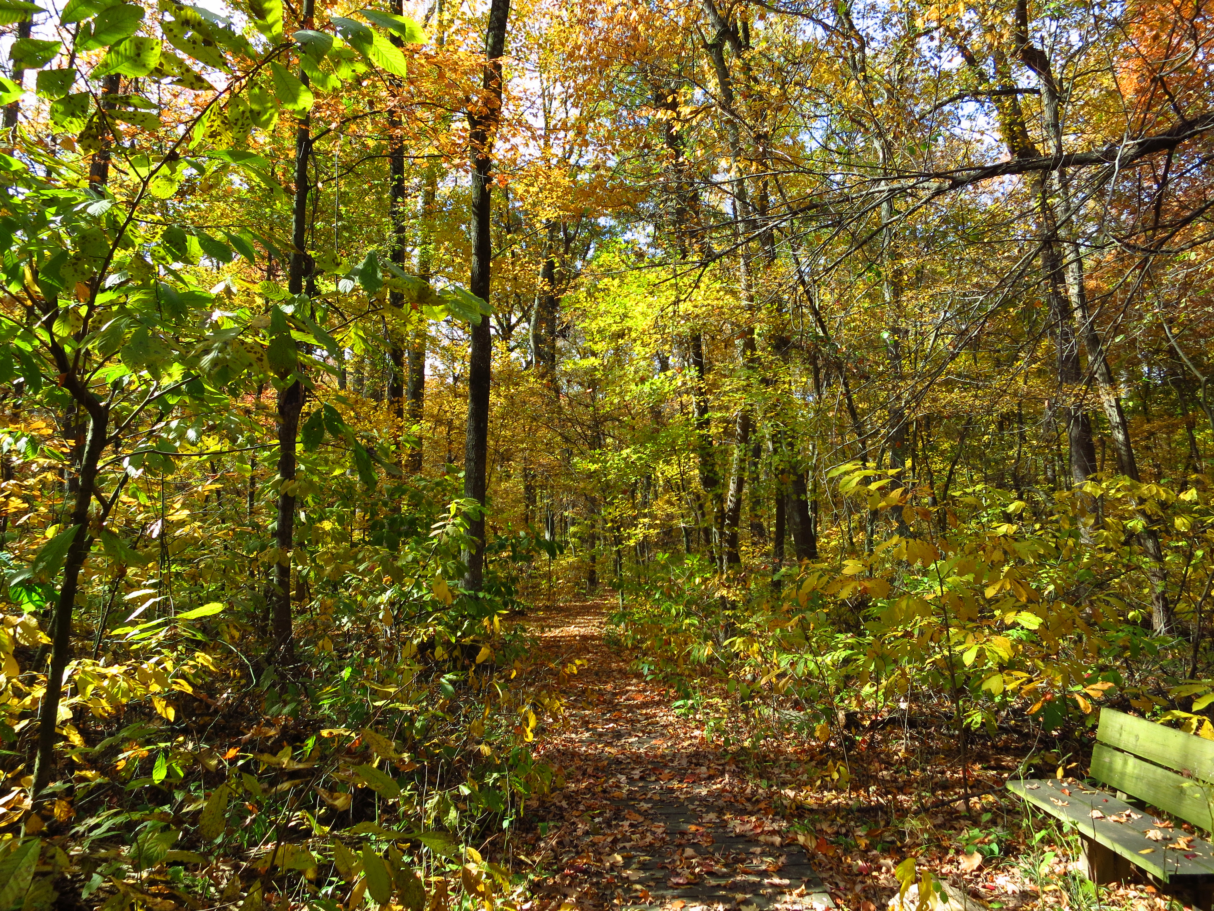
The Trail
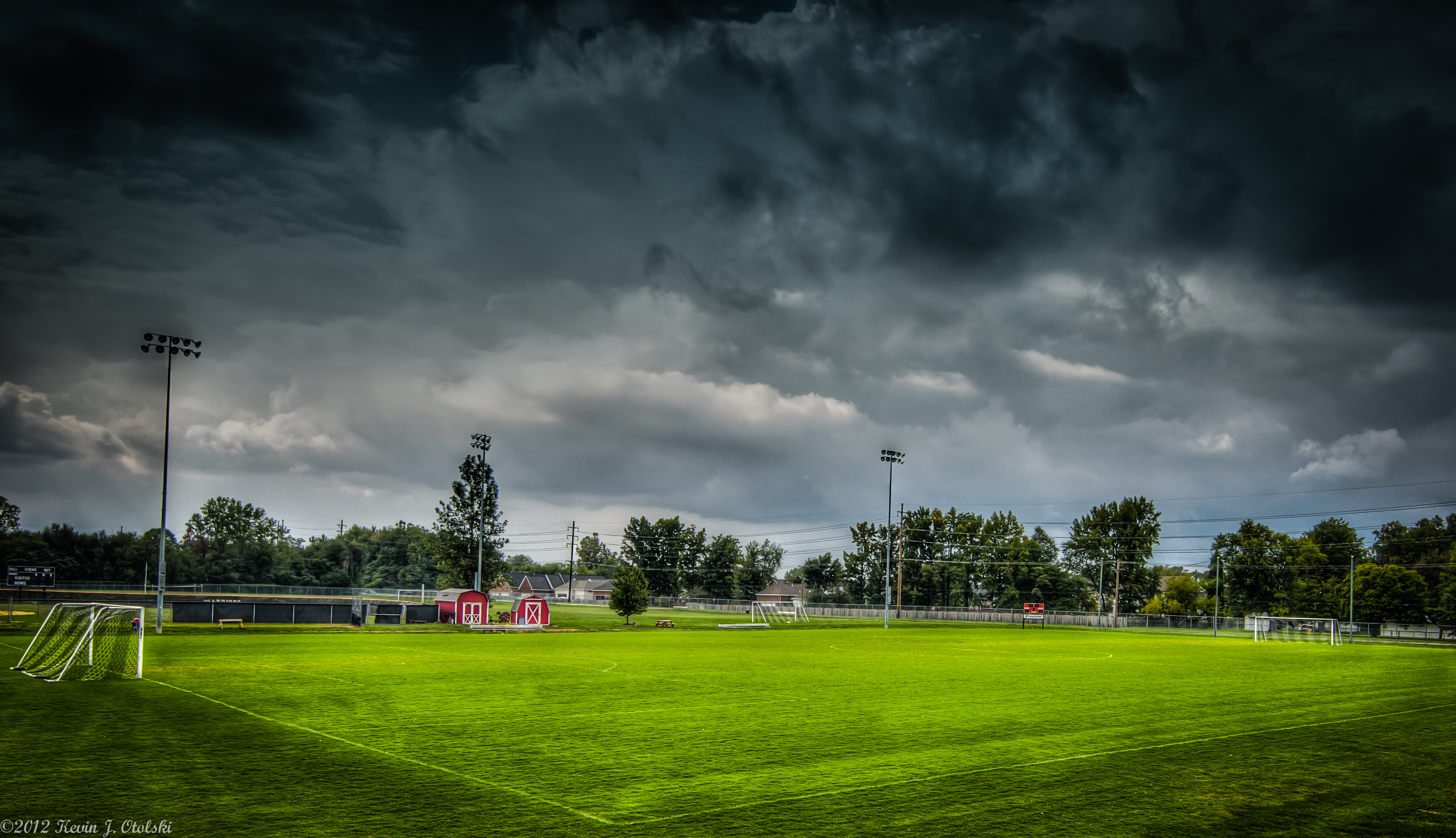
Evansville Harrison HS Soccer Field
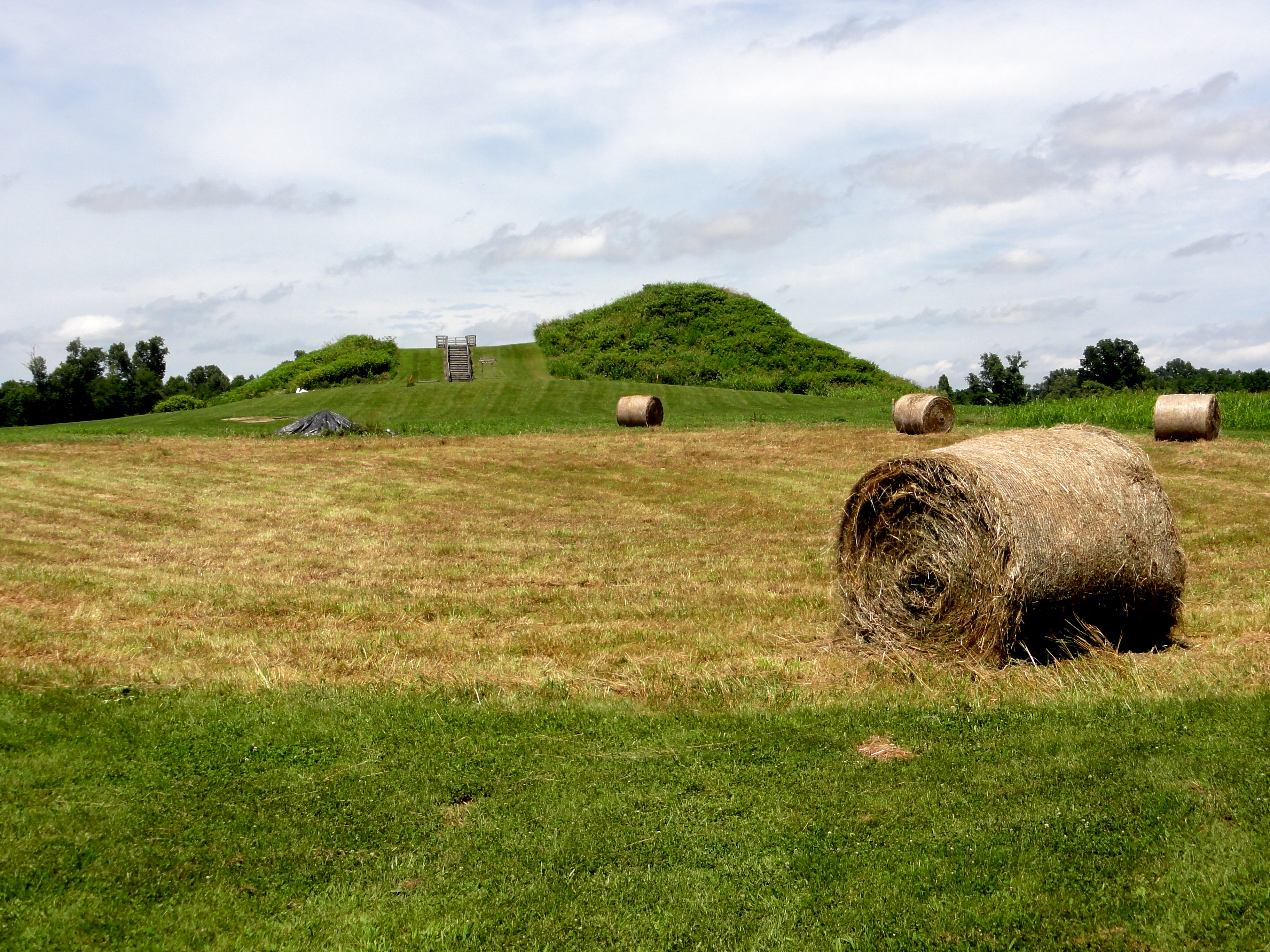
Mound A

Splendid!

cherry-bark oak
oaklyn pampas iced

#lovers in the cold

A sunset with crepuscular rays in #Evansville #IN #tristatewx #inwx #crepuscular #sunset #nofilter
Corn Rigs
Topographic Map of W Sr 66, Newburgh, IN, USA
Find elevation by address:

Places near W Sr 66, Newburgh, IN, USA:
6188 In-66
7244 Shady Oak Dr
15 Riverbend Ct
4700 Darlington Rd
12 Riverbend Ct
6433 Acadia Dr
Newburgh
Alcoa Warrick Operations
4000 In-66
Eble Rd, Newburgh, IN, USA
KY-, Reed, KY, USA
County Rd W, Newburgh, IN, USA
Anderson Township
Spottsville
Old Henderson Spottsville Rd, Spottsville, KY, USA
Lerch Rd, Newburgh, IN, USA
900 S Burkhardt Rd
S Boner Rd, Boonville, IN, USA
US-60, Owensboro, KY, USA
13002 Crestwood Ct
Recent Searches:
- Elevation of Corso Fratelli Cairoli, 35, Macerata MC, Italy
- Elevation of Tallevast Rd, Sarasota, FL, USA
- Elevation of 4th St E, Sonoma, CA, USA
- Elevation of Black Hollow Rd, Pennsdale, PA, USA
- Elevation of Oakland Ave, Williamsport, PA, USA
- Elevation of Pedrógão Grande, Portugal
- Elevation of Klee Dr, Martinsburg, WV, USA
- Elevation of Via Roma, Pieranica CR, Italy
- Elevation of Tavkvetili Mountain, Georgia
- Elevation of Hartfords Bluff Cir, Mt Pleasant, SC, USA