Elevation of Newburgh, IN, USA
Location: United States > Indiana > Warrick County > Ohio Township >
Longitude: -87.405286
Latitude: 37.9444882
Elevation: 122m / 400feet
Barometric Pressure: 100KPa
Elevation Map:
Satellite Map:
Related Photos:

Wild Grapes (Colour) [?]

**

From A Bee's Perspective
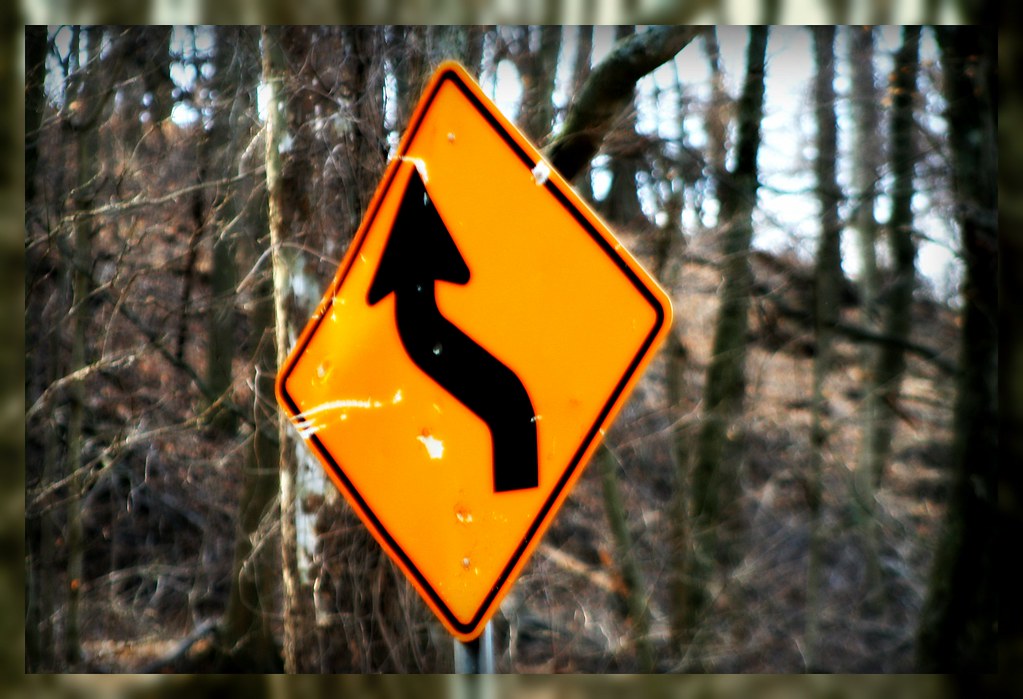
Sign on a Country Road

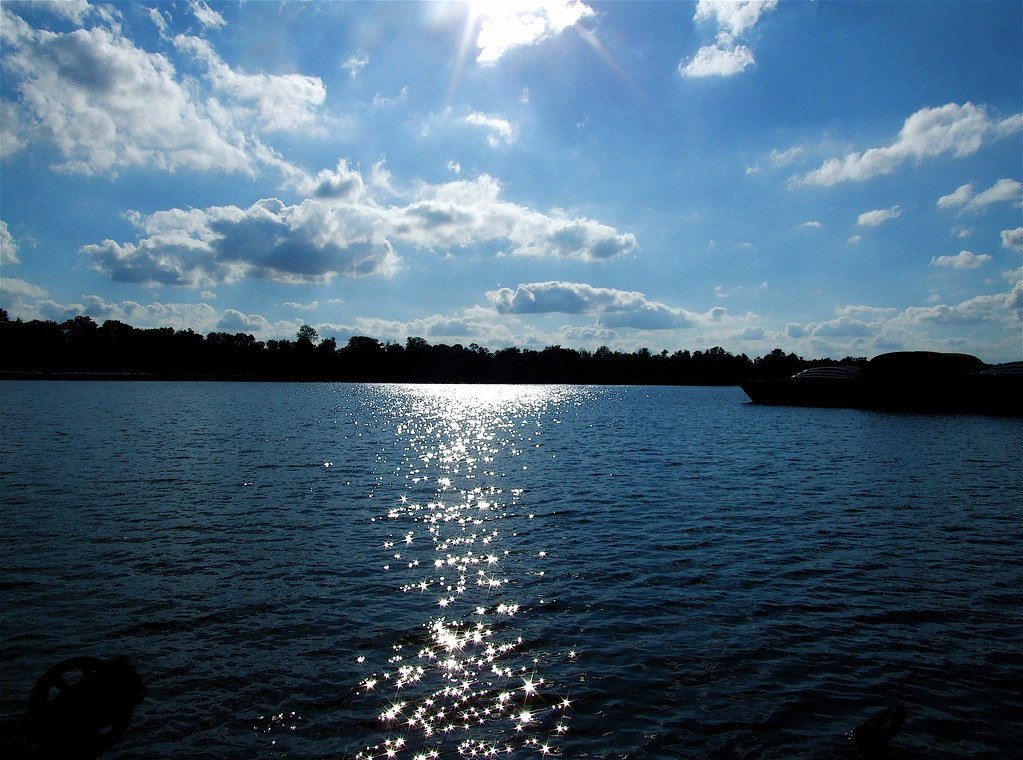
Absorbing The Sunlight

**

Summer Dreams
Fire In The Sky

On top of the city (reshoot)
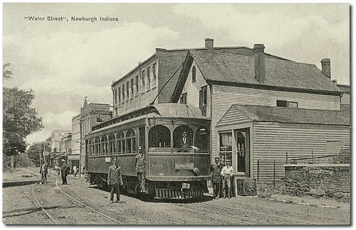
Water Street looking west, Newburgh, Indiana

....
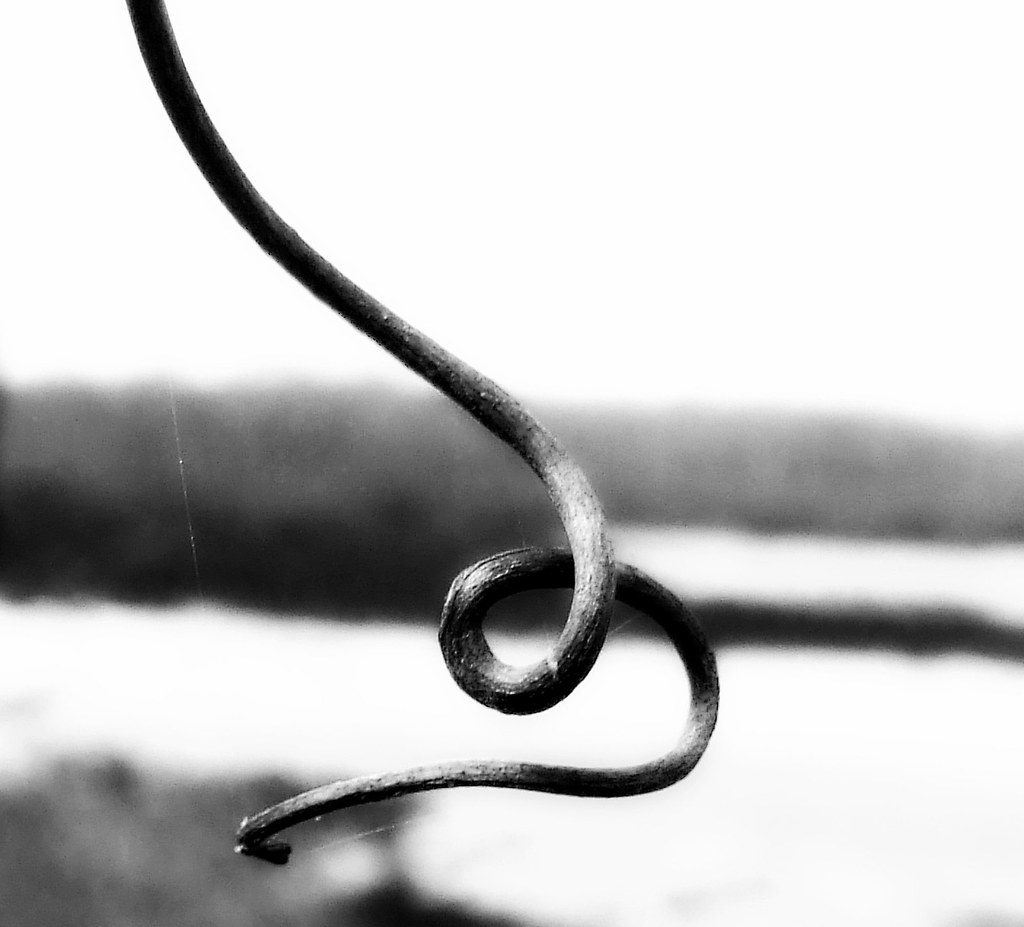
A B/W Curl/Twist
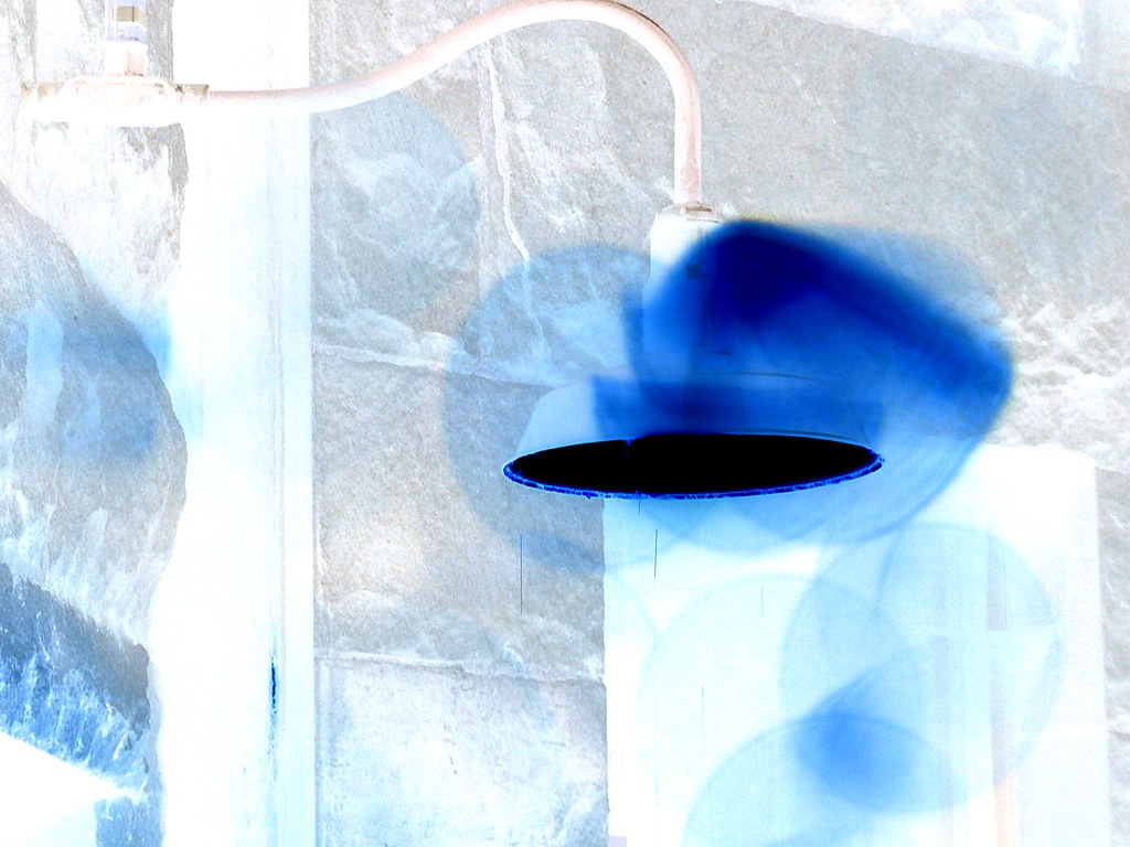
Blending the Blue

....

Buffet In The Sun

Flowers In The Field
Waiting To Become

crack the sky (b)

Red-bellied Woodpecker
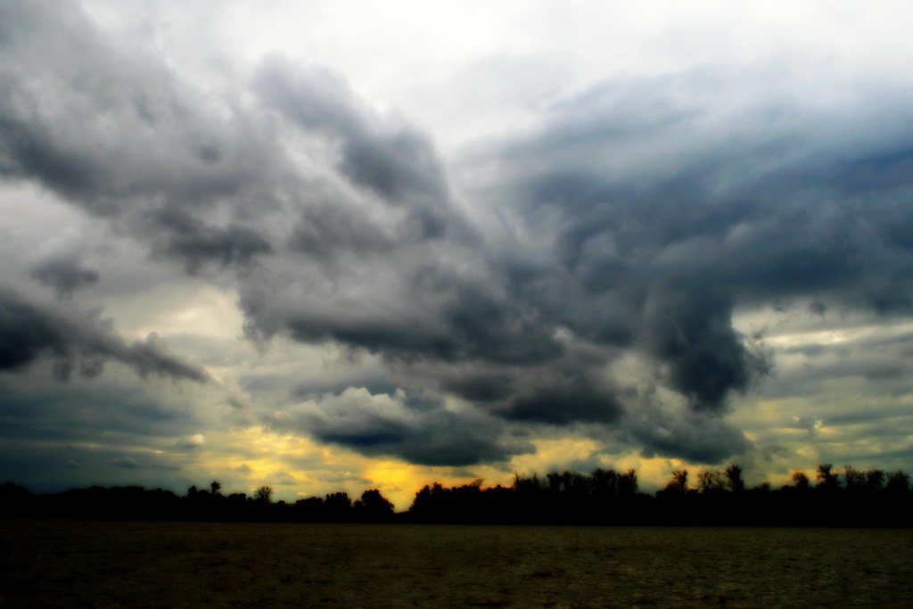
Rough Weather Over The Ohio River

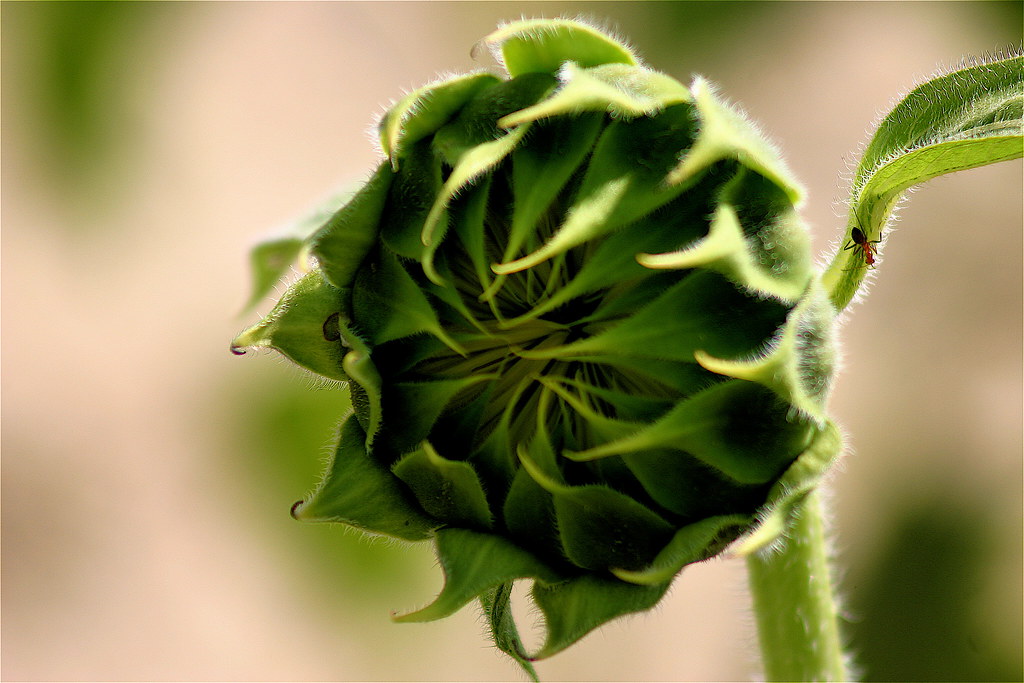
Coming to Life

Another fisheye, Evansville IN

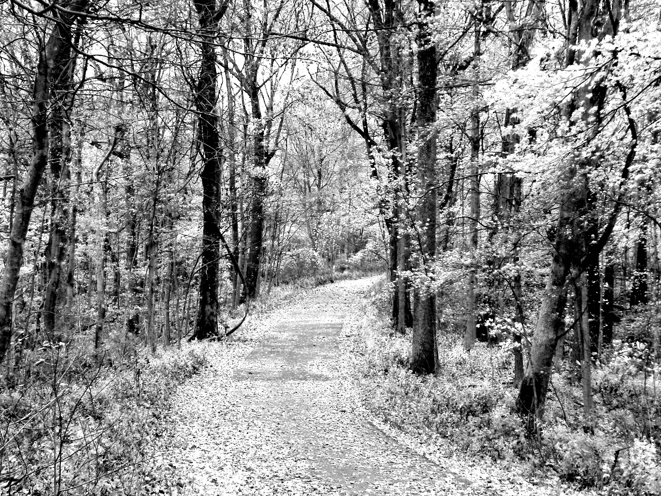
Wesselman Woods
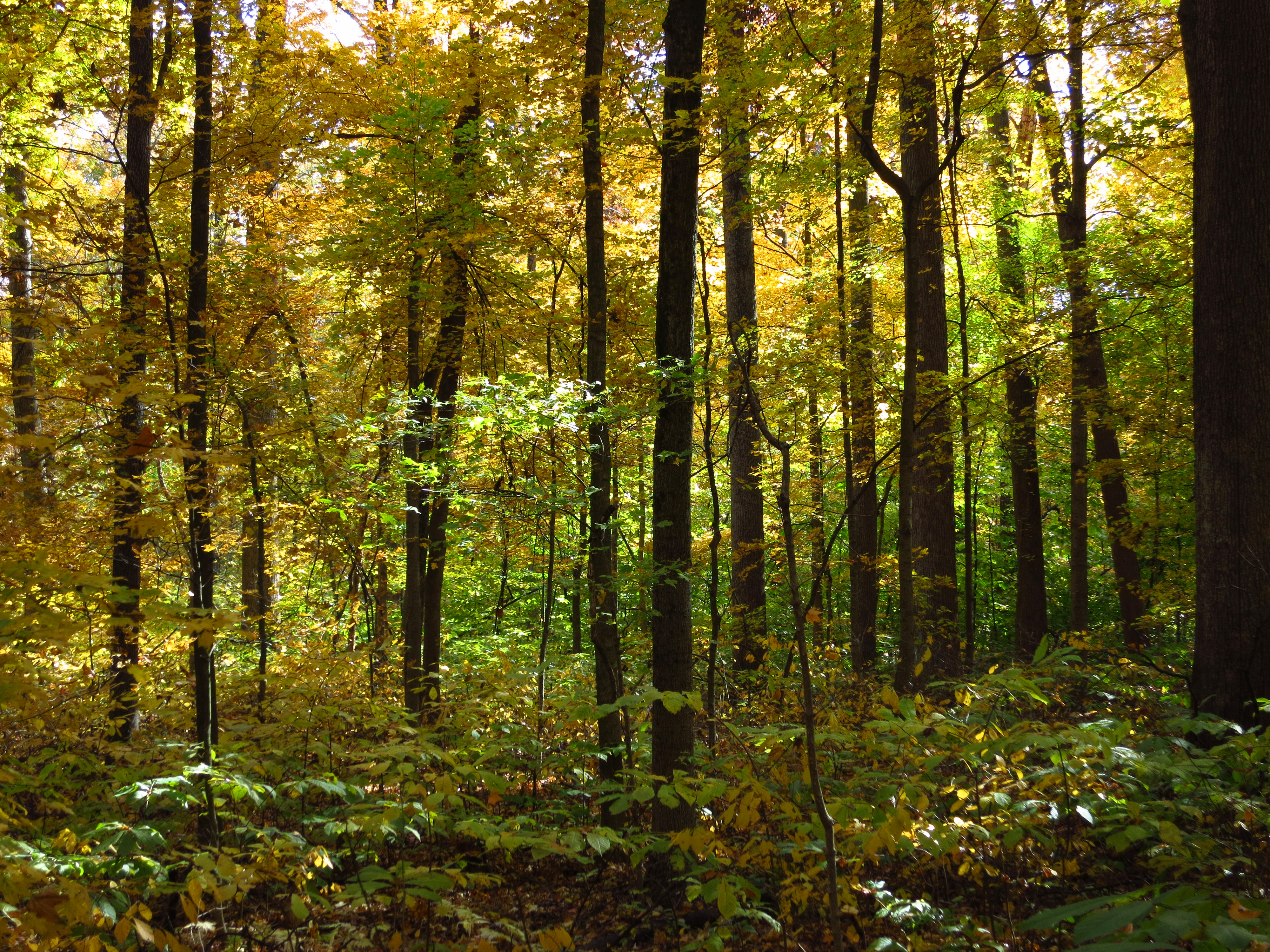
Wesselman Woods
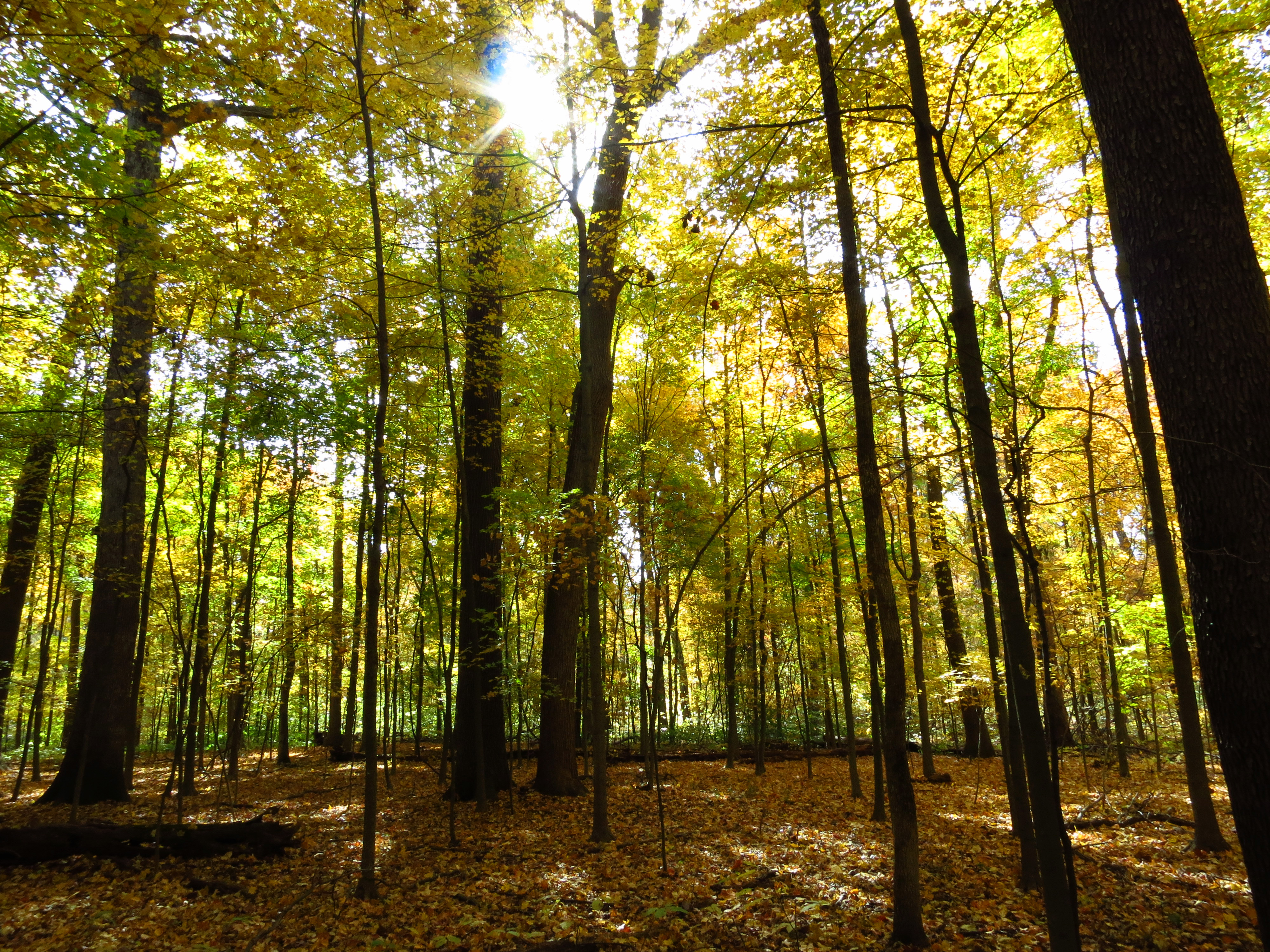
Wesselman Woods

Goodbye Mr. Sun
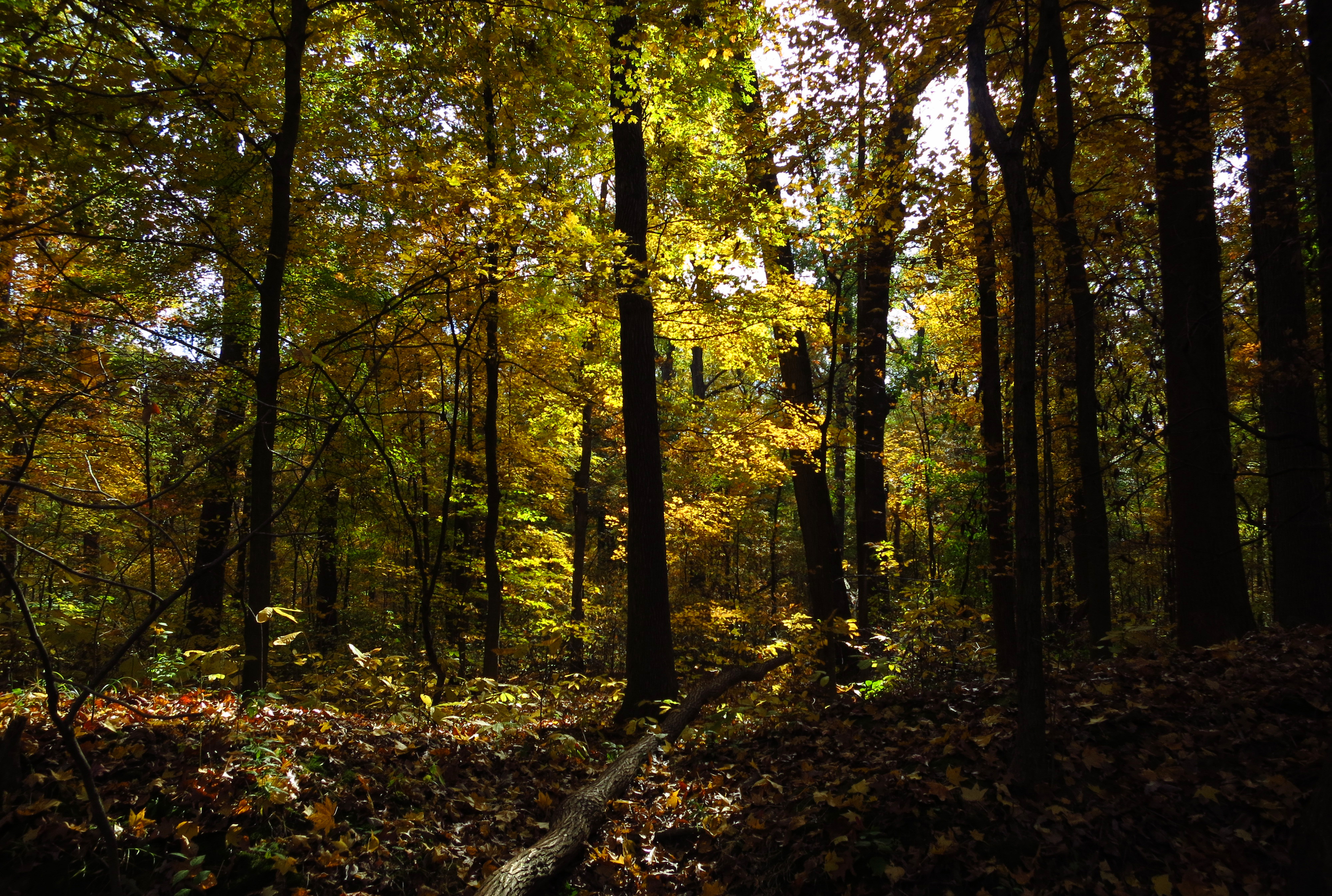
Wesselman Woods
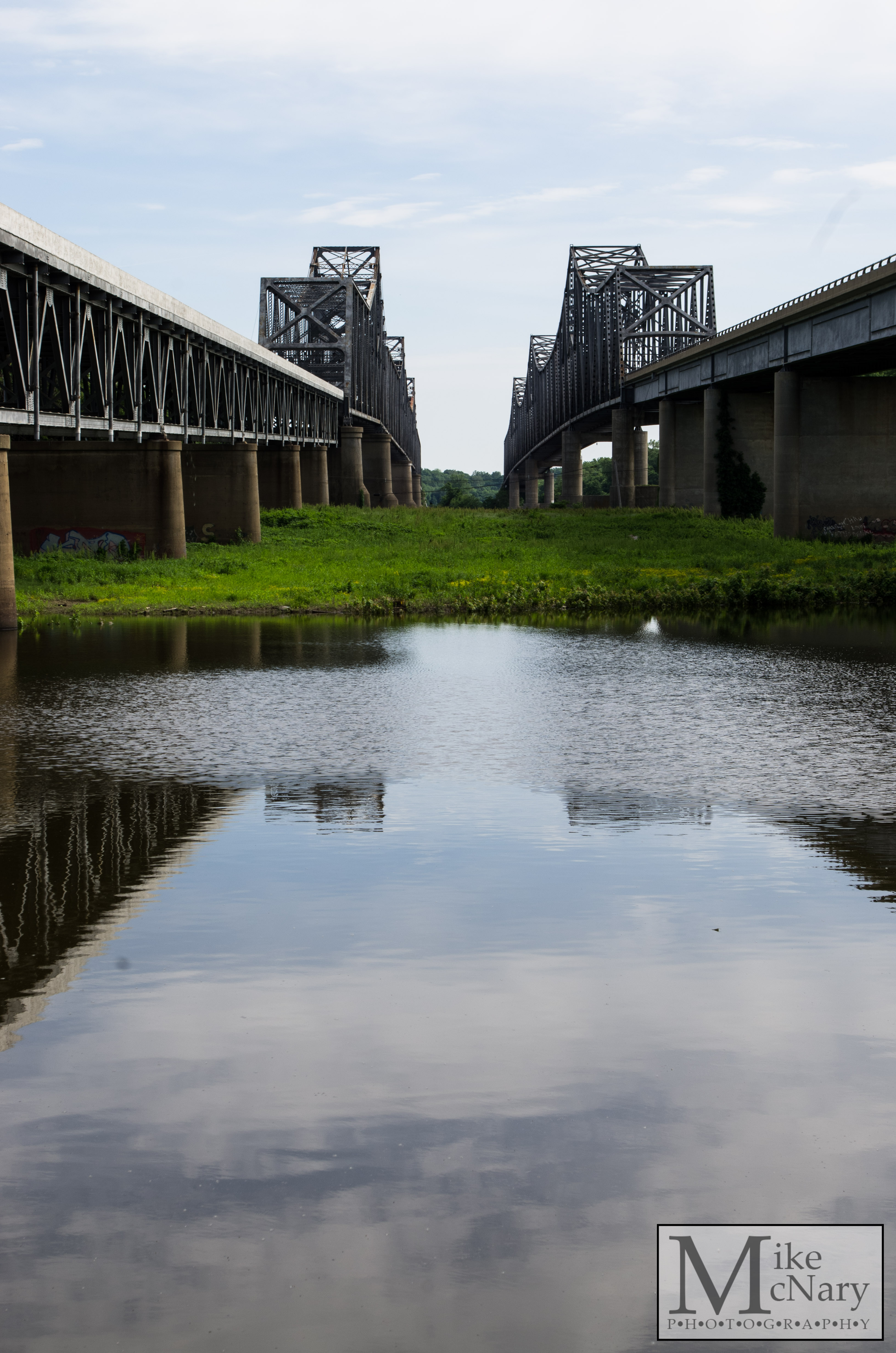
Twin Bridges

Wesselmans Woods

Newburgh Water Front

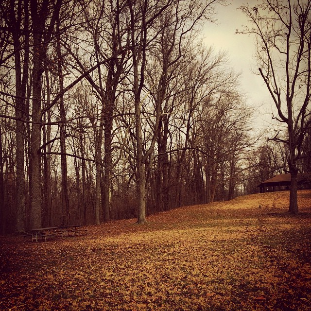
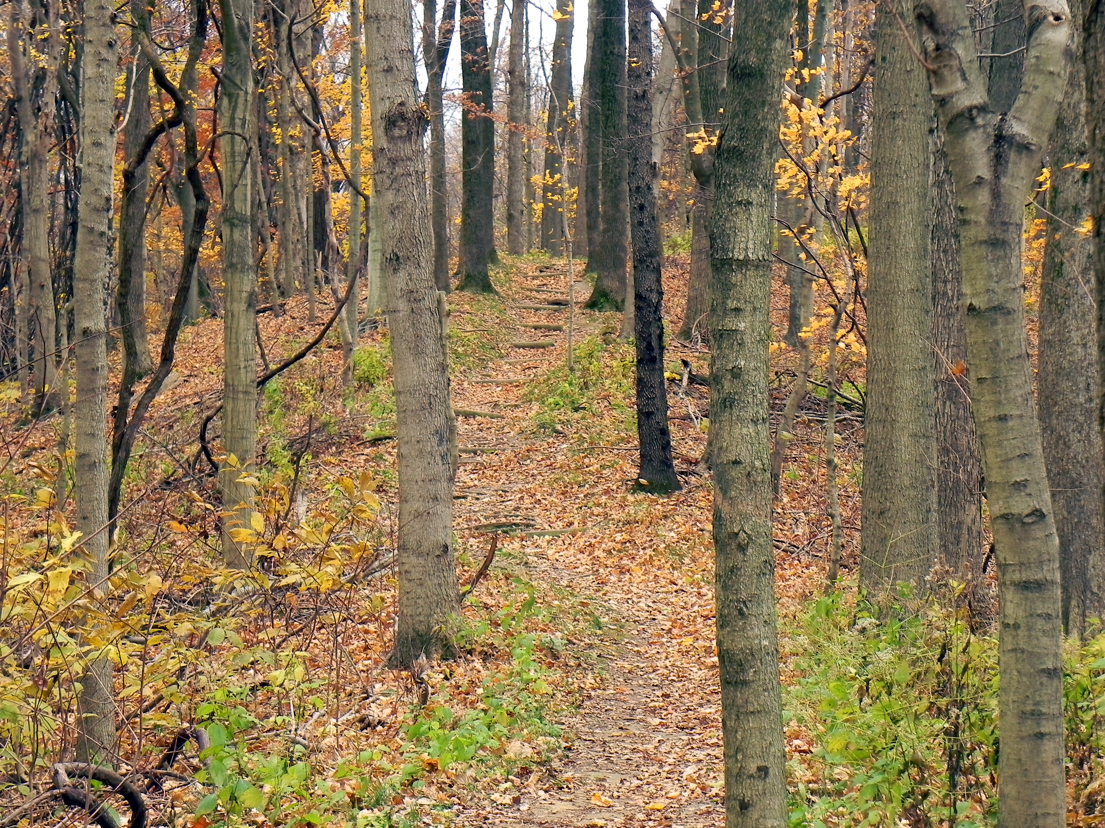
Back Country Trail

_7D_1638-c
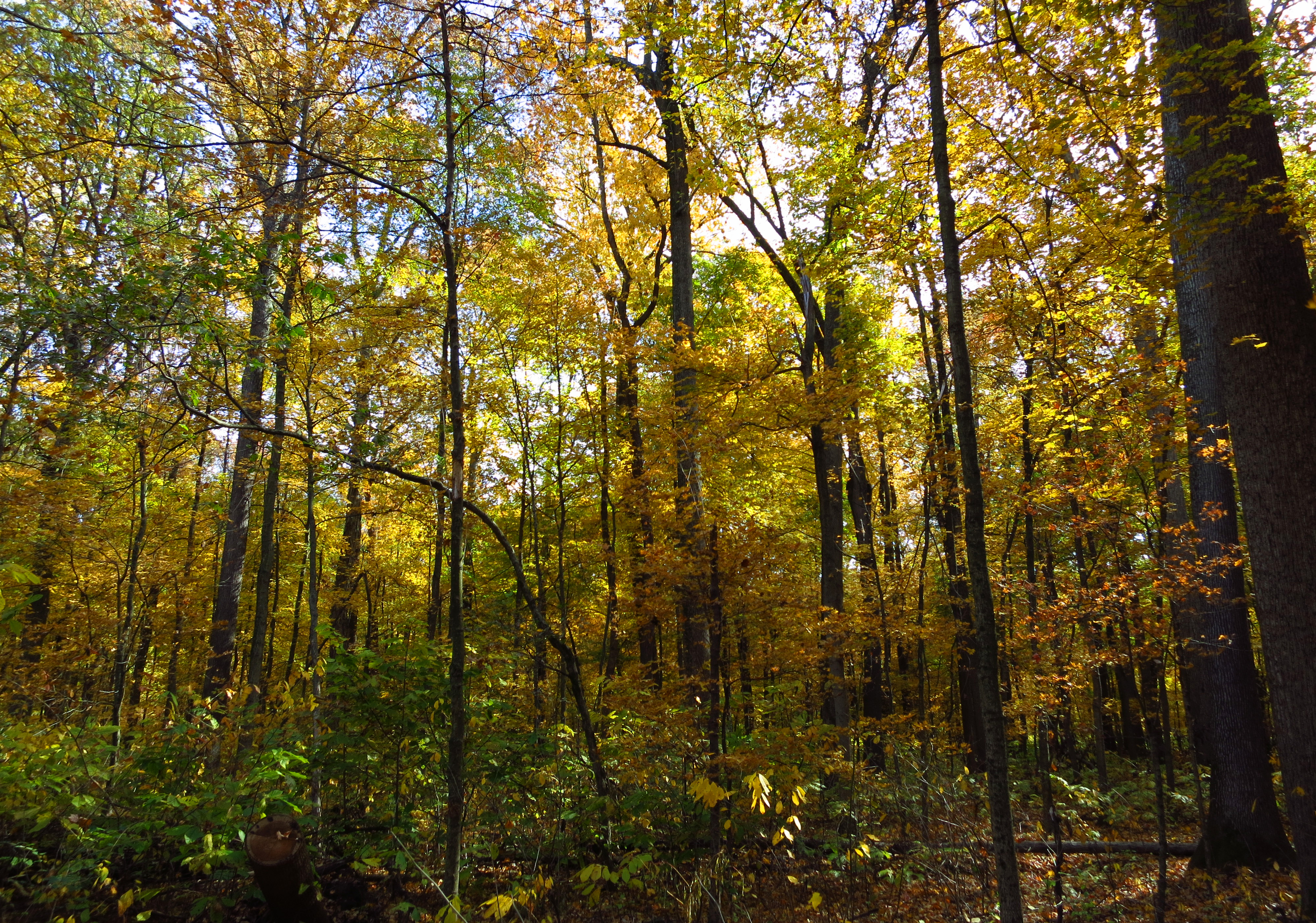
Wesselman Woods
Road In Colorless Fall
14:12&1100 #parque #otoño
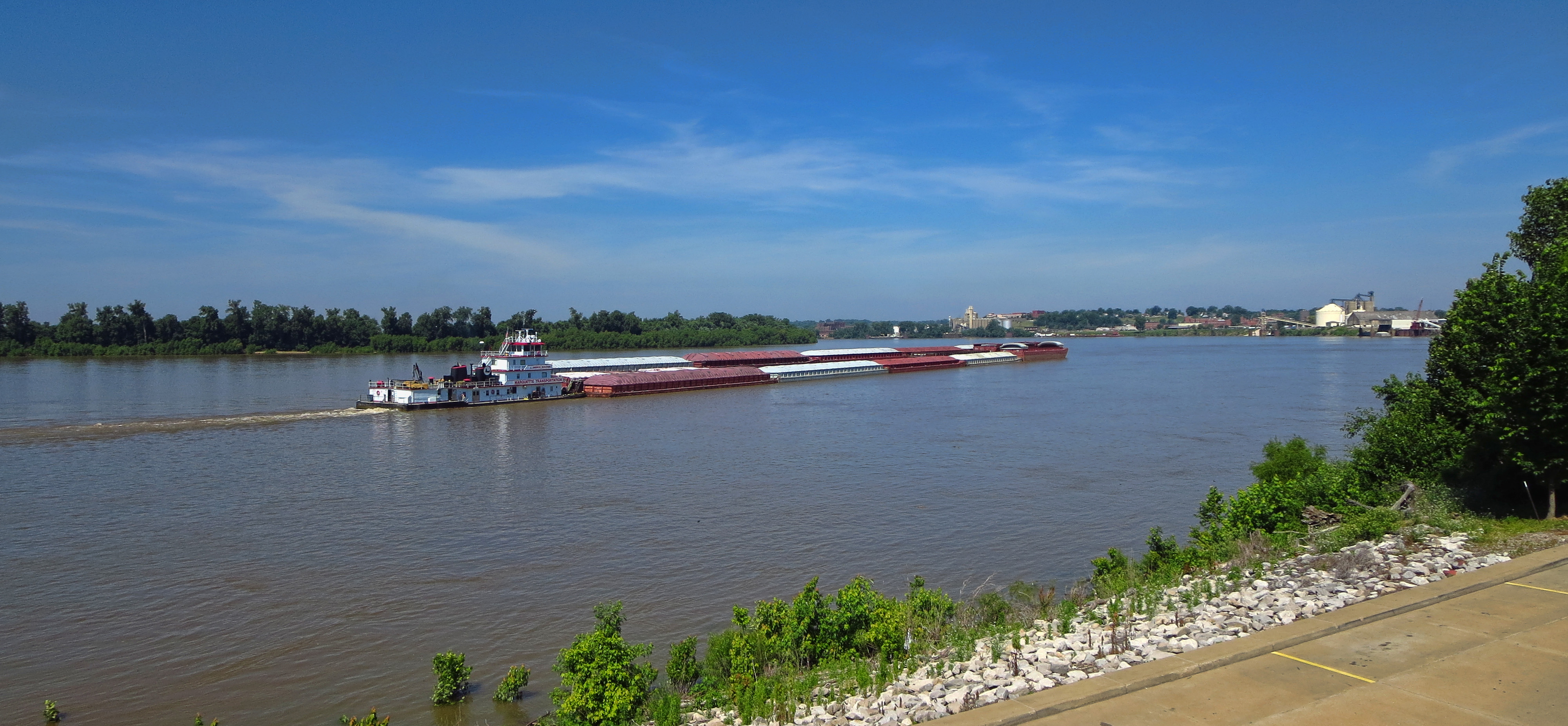
Ohio River Barge
Kentucky Coffee Tree Trail
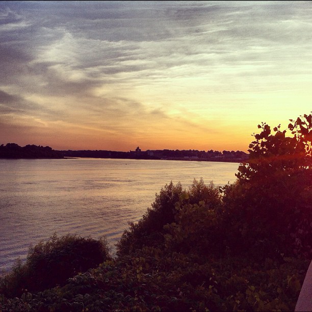
Sunset on the River

Sunset on the Ohio
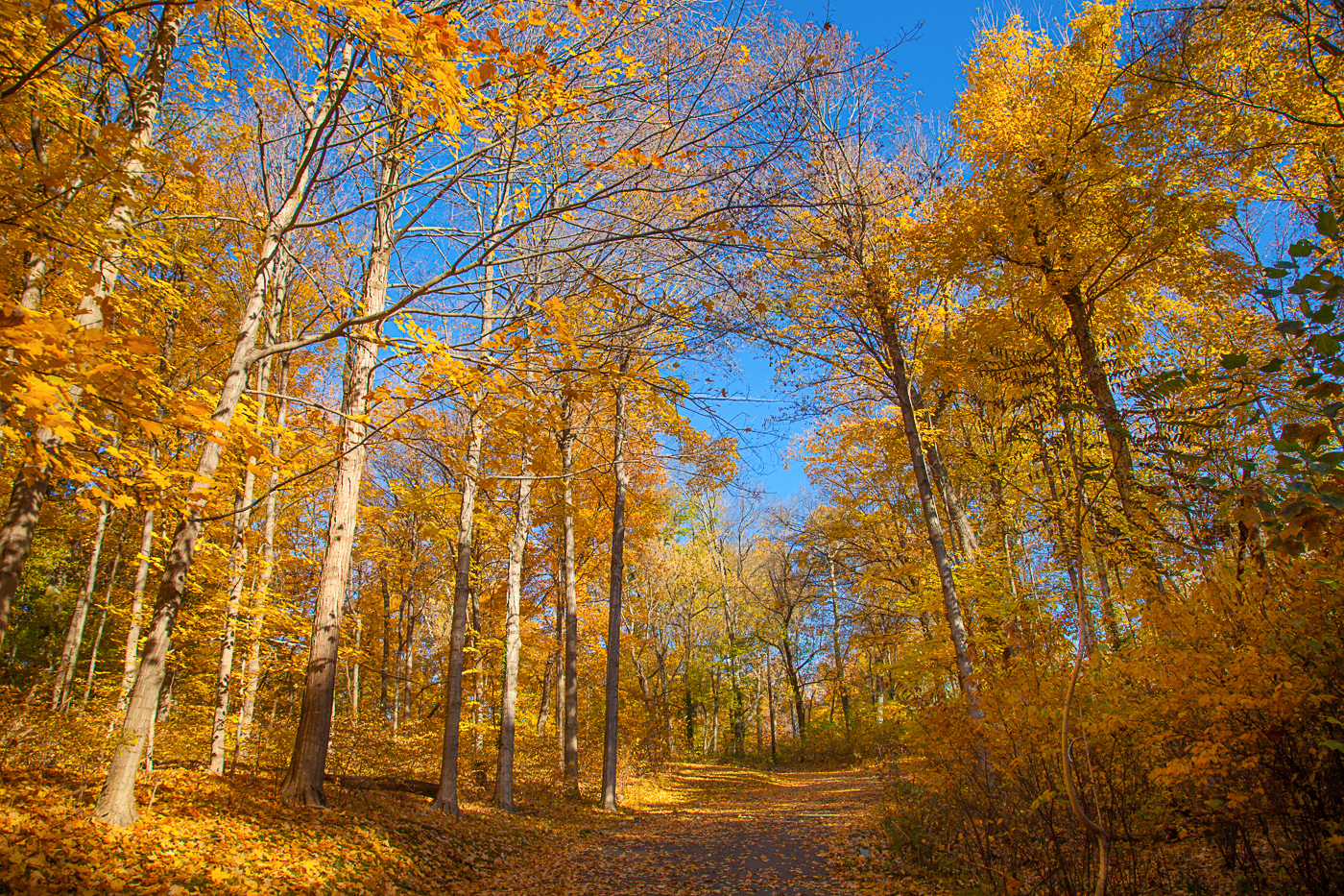
Fall Color Audobon Park
Topographic Map of Newburgh, IN, USA
Find elevation by address:

Places in Newburgh, IN, USA:
County Rd W, Newburgh, IN, USA
IN-, Newburgh, IN, USA
Lerch Rd, Newburgh, IN, USA
Outer Lincoln Avenue
Places near Newburgh, IN, USA:
12 Riverbend Ct
15 Riverbend Ct
4700 Darlington Rd
7244 Shady Oak Dr
W Sr 66, Newburgh, IN, USA
6433 Acadia Dr
6188 In-66
County Rd W, Newburgh, IN, USA
900 S Burkhardt Rd
Alcoa Warrick Operations
Eble Rd, Newburgh, IN, USA
4000 In-66
Spottsville
Old Henderson Spottsville Rd, Spottsville, KY, USA
KY-, Reed, KY, USA
2214 Hawthorne Ave
13002 Crestwood Ct
Anderson Township
Eastview
2151 Bayard Park Dr
Recent Searches:
- Elevation of Congressional Dr, Stevensville, MD, USA
- Elevation of Bellview Rd, McLean, VA, USA
- Elevation of Stage Island Rd, Chatham, MA, USA
- Elevation of Shibuya Scramble Crossing, 21 Udagawacho, Shibuya City, Tokyo -, Japan
- Elevation of Jadagoniai, Kaunas District Municipality, Lithuania
- Elevation of Pagonija rock, Kranto 7-oji g. 8"N, Kaunas, Lithuania
- Elevation of Co Rd 87, Jamestown, CO, USA
- Elevation of Tenjo, Cundinamarca, Colombia
- Elevation of Côte-des-Neiges, Montreal, QC H4A 3J6, Canada
- Elevation of Bobcat Dr, Helena, MT, USA