Elevation of W Rue St, La Pryor, TX, USA
Location: United States > Texas >
Longitude: -99.848988
Latitude: 28.9402398
Elevation: 227m / 745feet
Barometric Pressure: 99KPa
Elevation Map:
Satellite Map:
Related Photos:
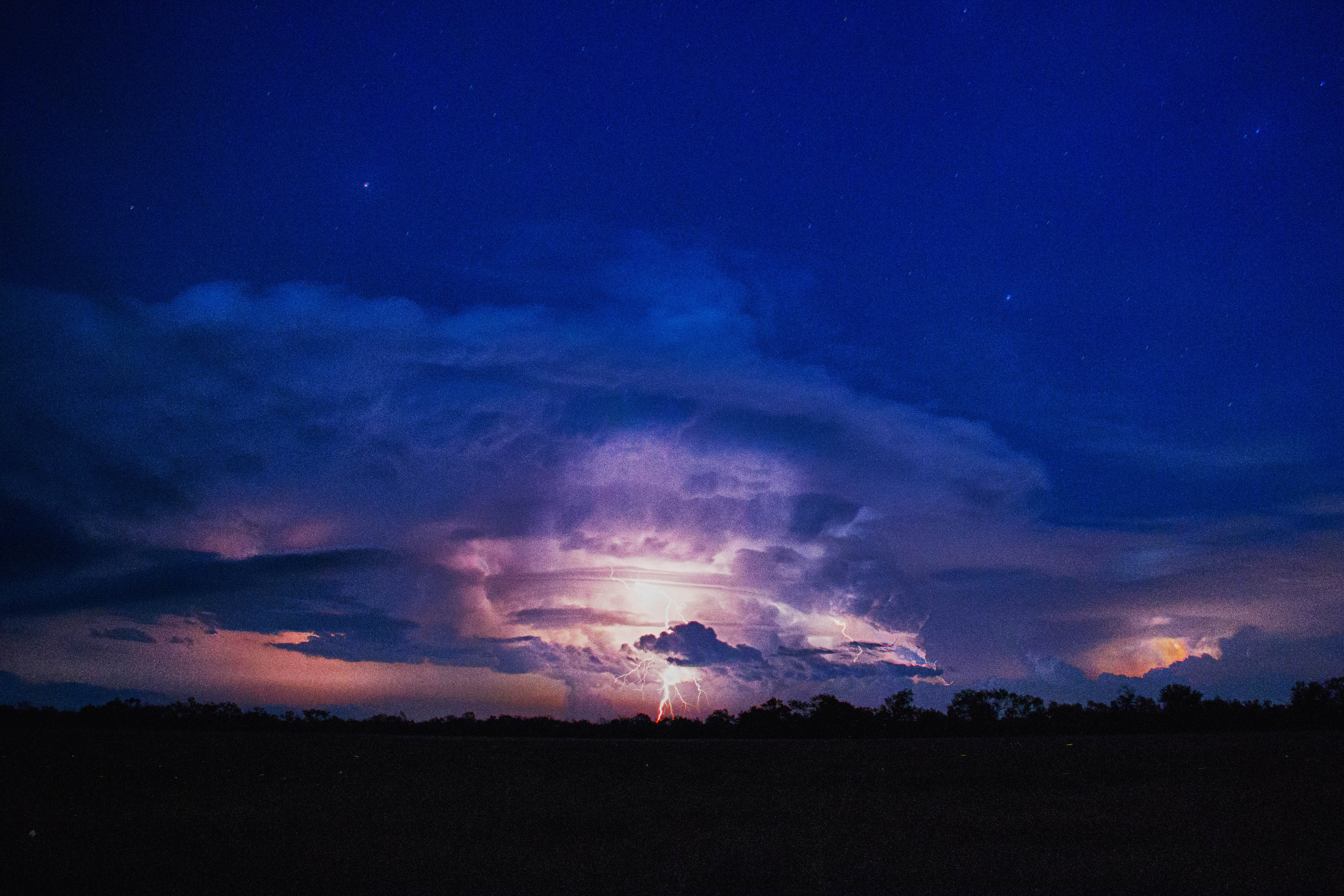
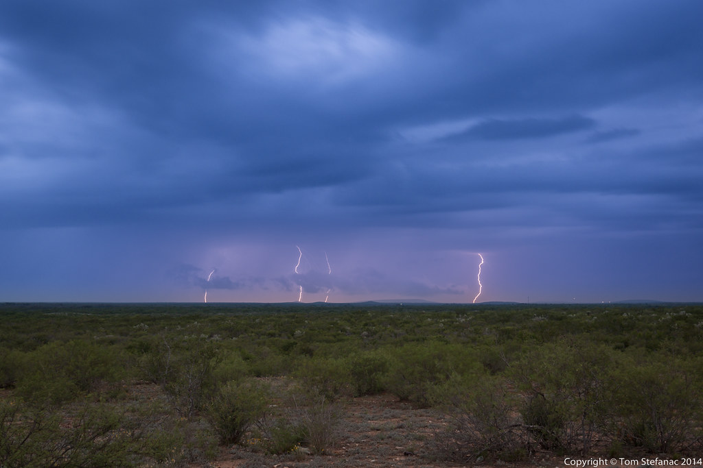
La Pryor Texas lightning storm

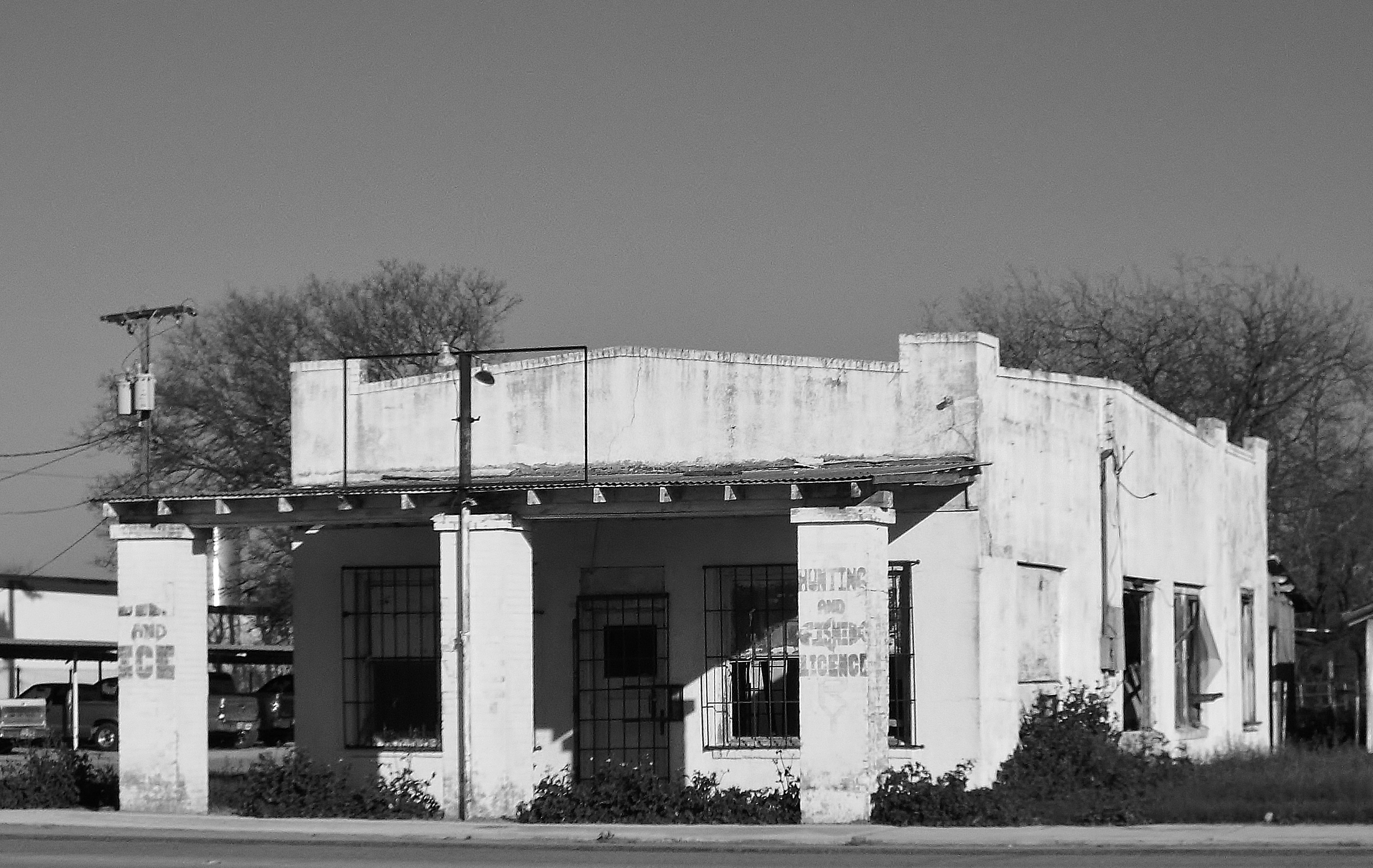
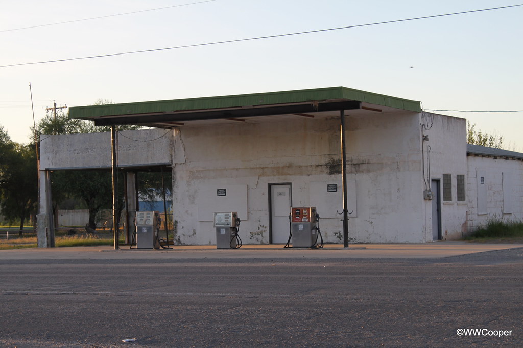
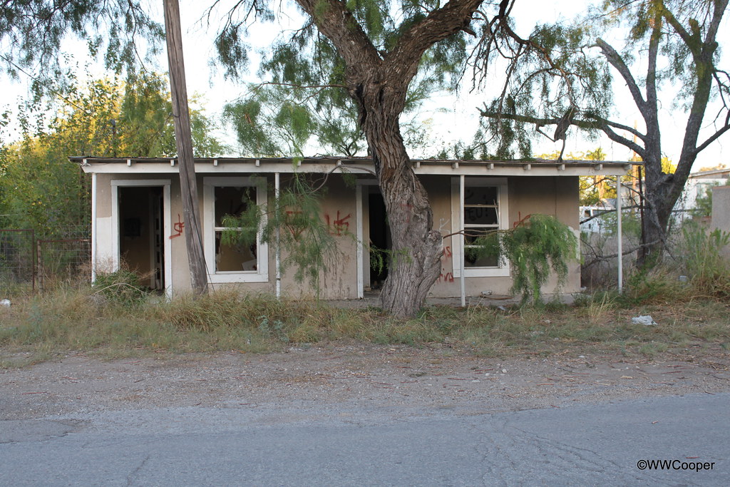
Bldg - La Pryor Texas
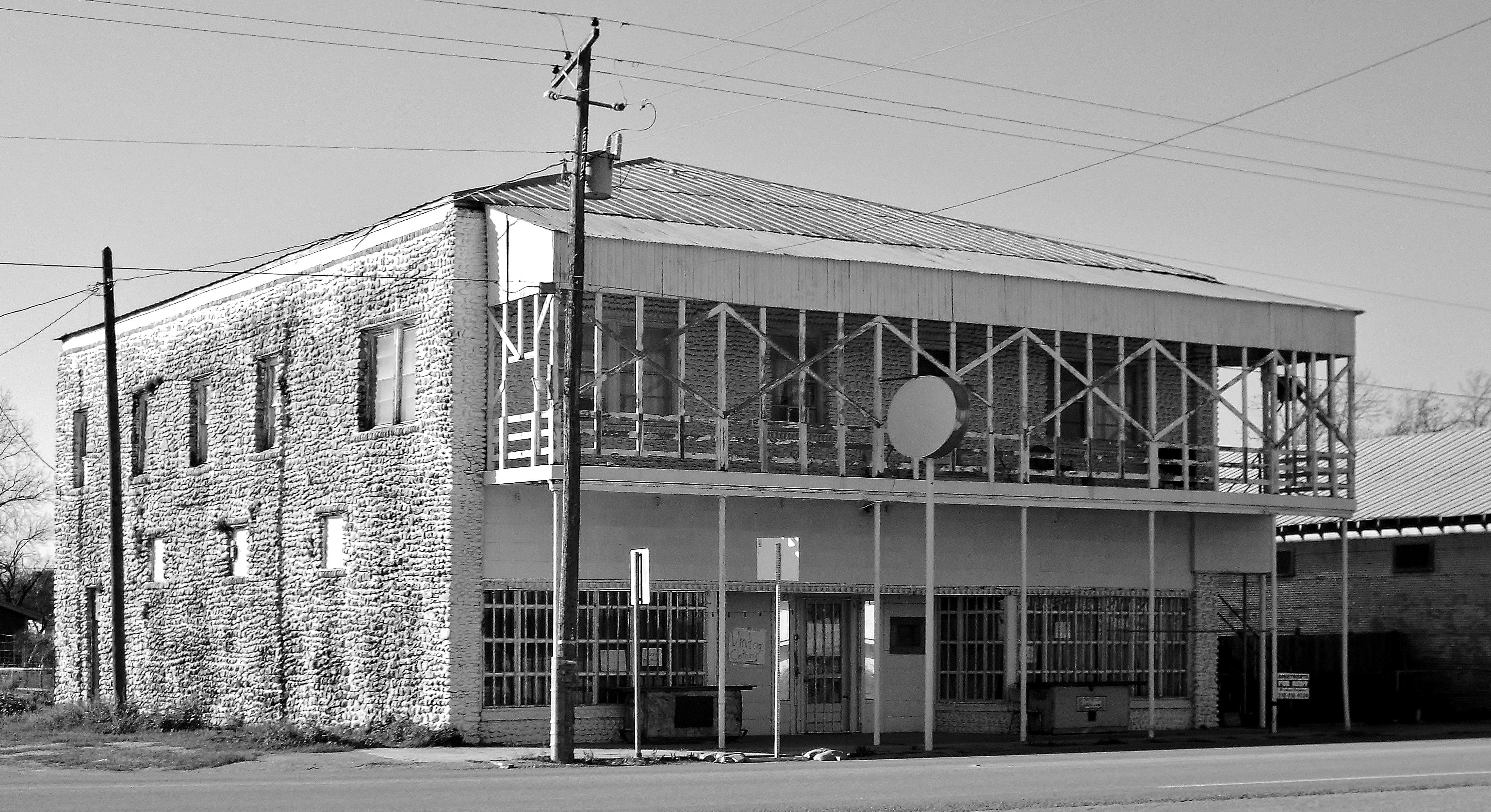
Bldg 2 - LaPryor Texas
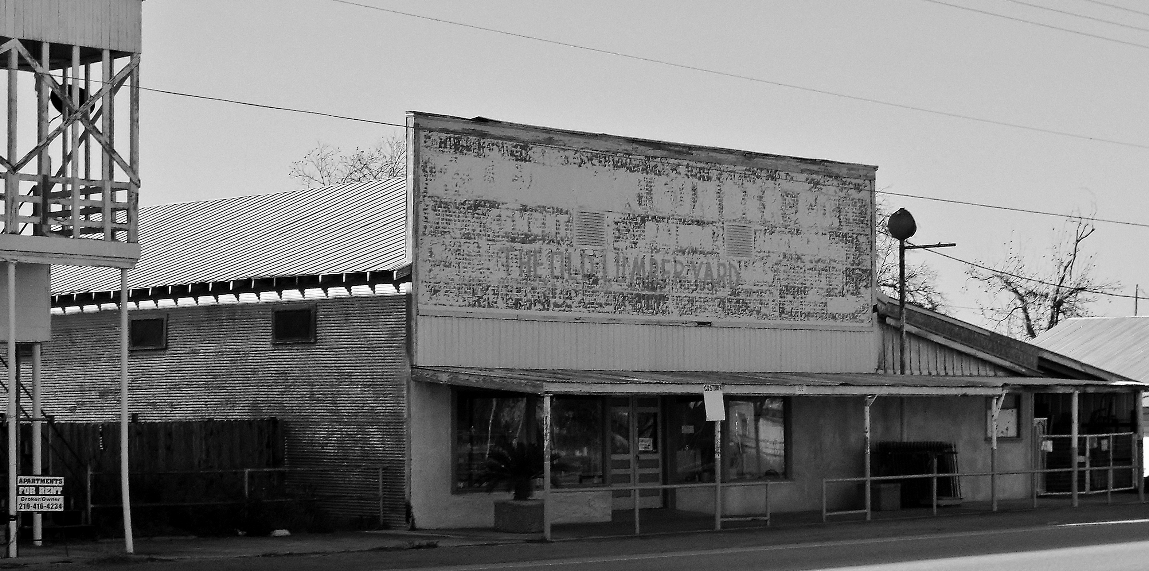
Bldg 3 - La Pryor Texas
Bldg 4 - La Pryor Texas
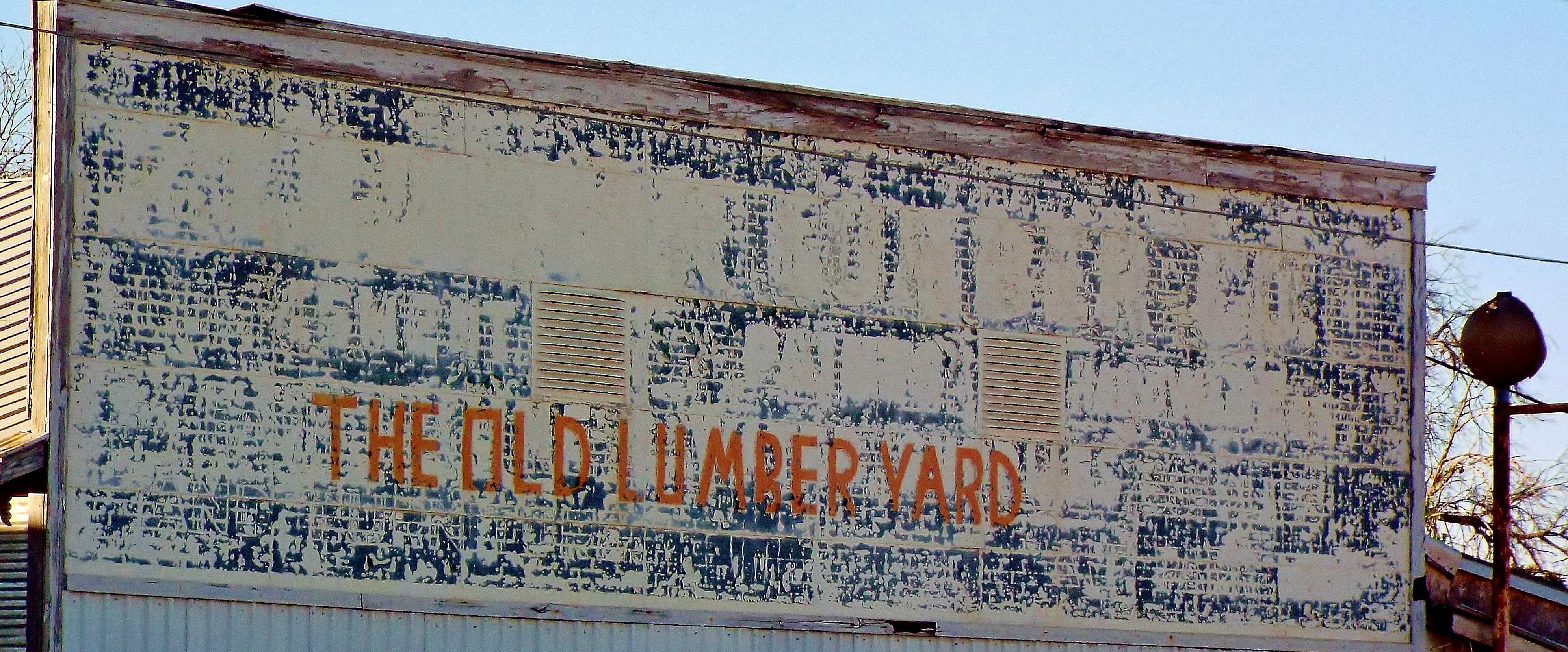
Bldg 4 sign detail - La Pryor Texas
20140525-_E1A3286.jpg
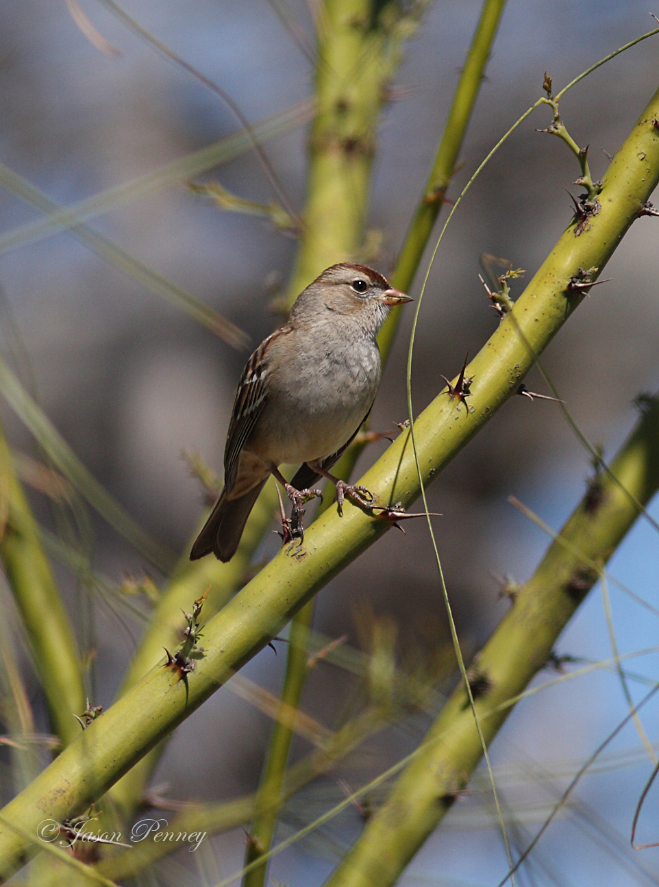
White-crowned Sparrow (Immature)- Zonotrichia leucophrys

La Pryor Texas cactus sunset

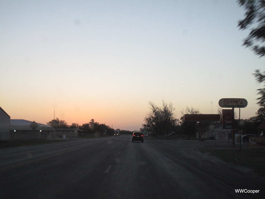
La Pryor,TX
IMG_6435 LaPryor Texas
IMG_6432 Open House LaPryor Texas
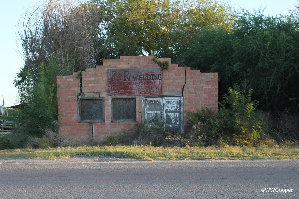
IMG_6430 Closed Welding Shop LaPryor Texas
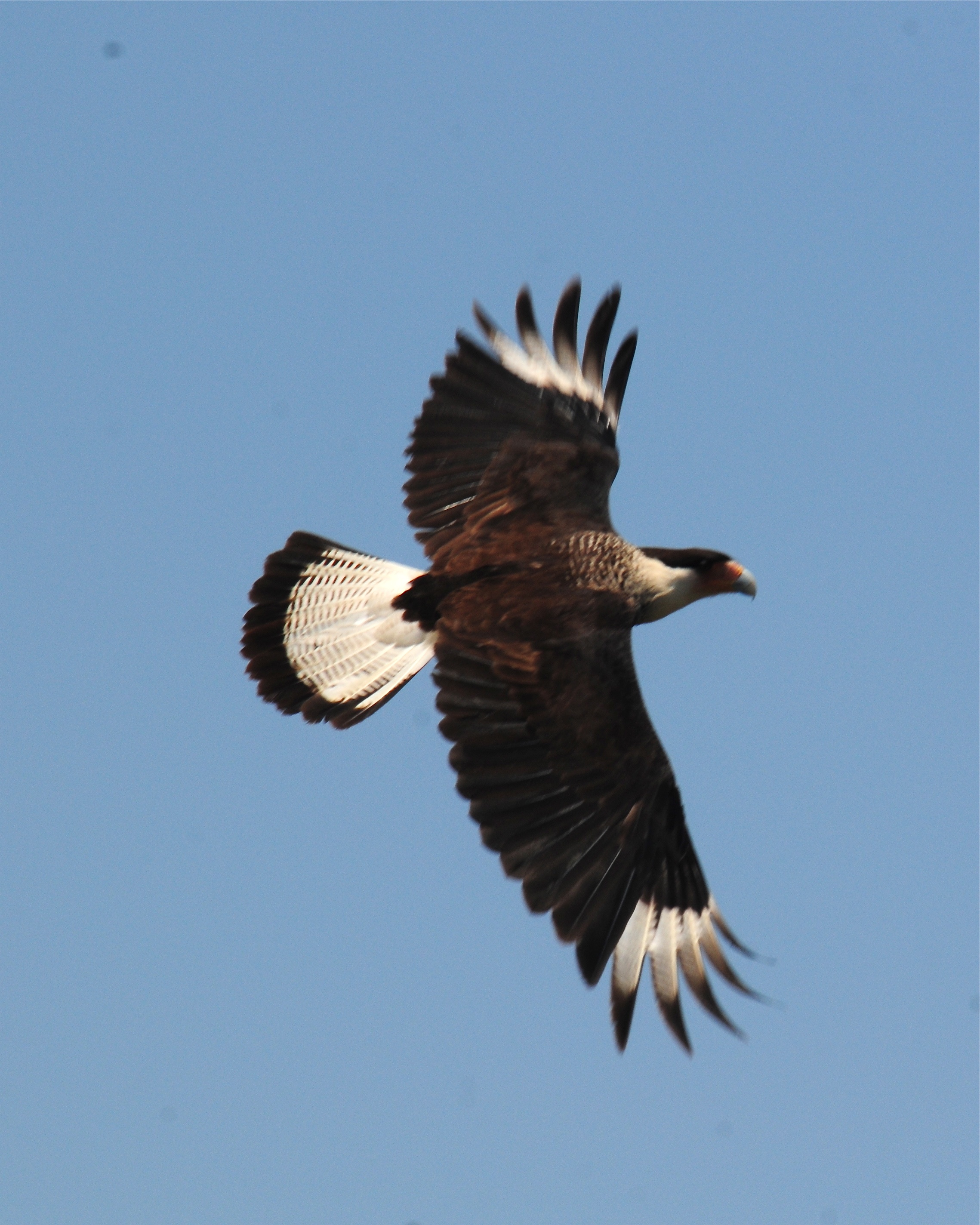
Crested Caracara (<I>Caracara cheriway</I>), road bird, Uvalde to Laredo
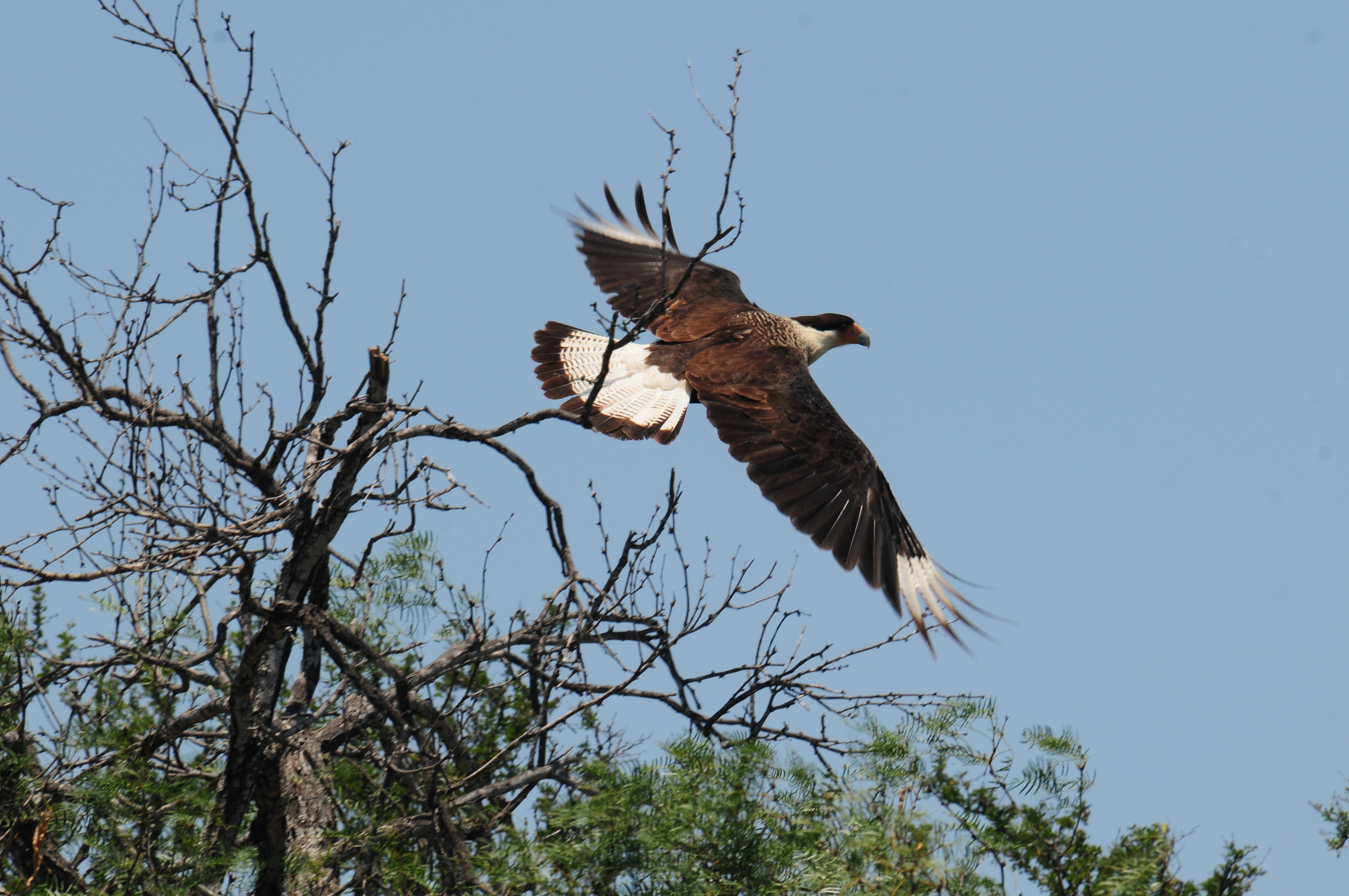
Crested Caracara (<I>Caracara cheriway</I>), road bird, Uvalde to Laredo
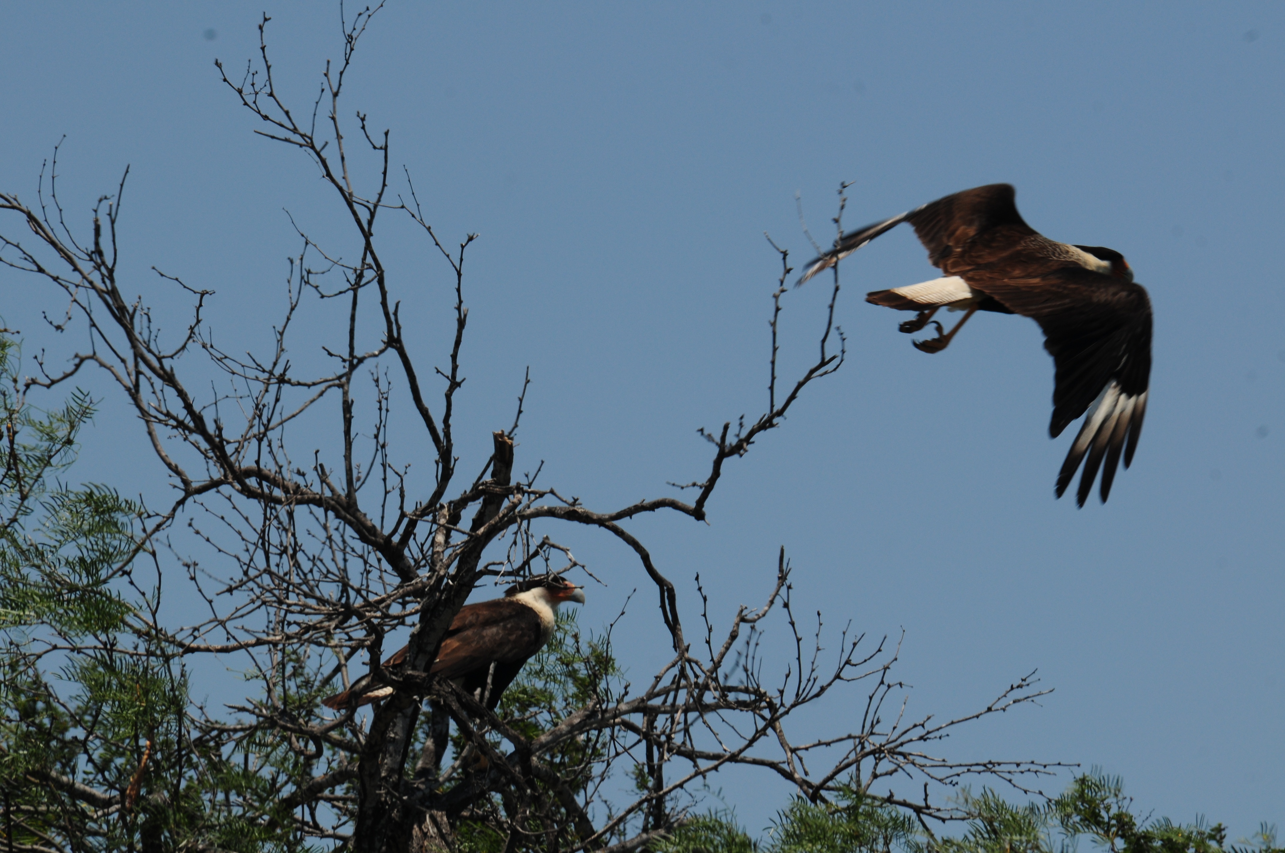
Crested Caracara (<I>Caracara cheriway</I>), road bird, Uvalde to Laredo
IMG_77041 LaPryor Texas Road
072306 Uvalde Blowout - 14
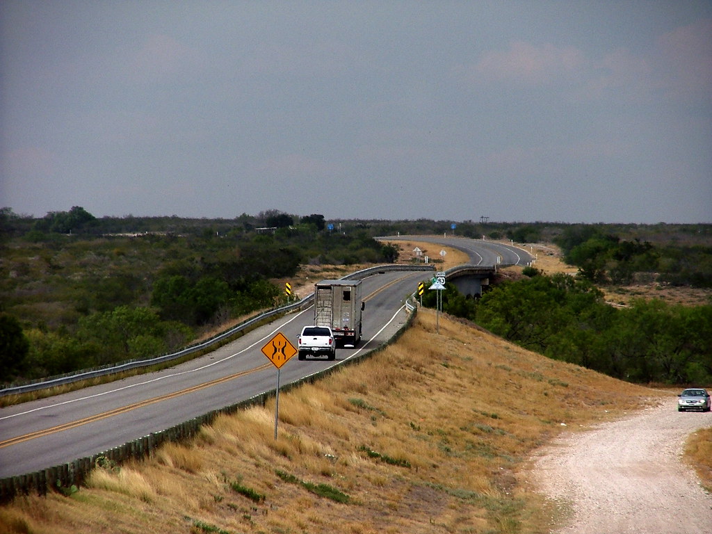
072306 Uvalde Blowout - 1
Topographic Map of W Rue St, La Pryor, TX, USA
Find elevation by address:

Places near W Rue St, La Pryor, TX, USA:
La Pryor
H90w H90w, Uvalde, TX, USA
Carrizo Springs
Maverick County
Ox Ranch
Kinney County
El Indio
75 Rancho Grande St W, El Indio, TX, USA
Fort Duncan Regional Medical Center
Wagon Wheel Rd, Eagle Pass, TX, USA
Rosita South
Elm Creek
Short St, Eagle Pass, TX, USA
3292 Fm1021
96 Dub Dr, Eagle Pass, TX, USA
Alvin Cir, Eagle Pass, TX, USA
Dalia St, Eagle Pass, TX, USA
Brackettville
11 Colony Row
61 W Fulton St, Brackettville, TX, USA
Recent Searches:
- Elevation of Brooks Lp, Spearfish, SD, USA
- Elevation of Panther Dr, Maggie Valley, NC, USA
- Elevation of Jais St - Wadi Shehah - Ras al Khaimah - United Arab Emirates
- Elevation of Shawnee Avenue, Shawnee Ave, Easton, PA, USA
- Elevation of Scenic Shore Dr, Kingwood Area, TX, USA
- Elevation of W Prive Cir, Delray Beach, FL, USA
- Elevation of S Layton Cir W, Layton, UT, USA
- Elevation of F36W+3M, Mussoorie, Uttarakhand, India
- Elevation of Fairland Ave, Fairhope, AL, USA
- Elevation of Sunset Dr, Richmond, VA, USA