Elevation of Short St, Eagle Pass, TX, USA
Location: United States > Texas > Maverick County > Elm Creek >
Longitude: -100.49197
Latitude: 28.774311
Elevation: 231m / 758feet
Barometric Pressure: 99KPa
Elevation Map:
Satellite Map:
Related Photos:
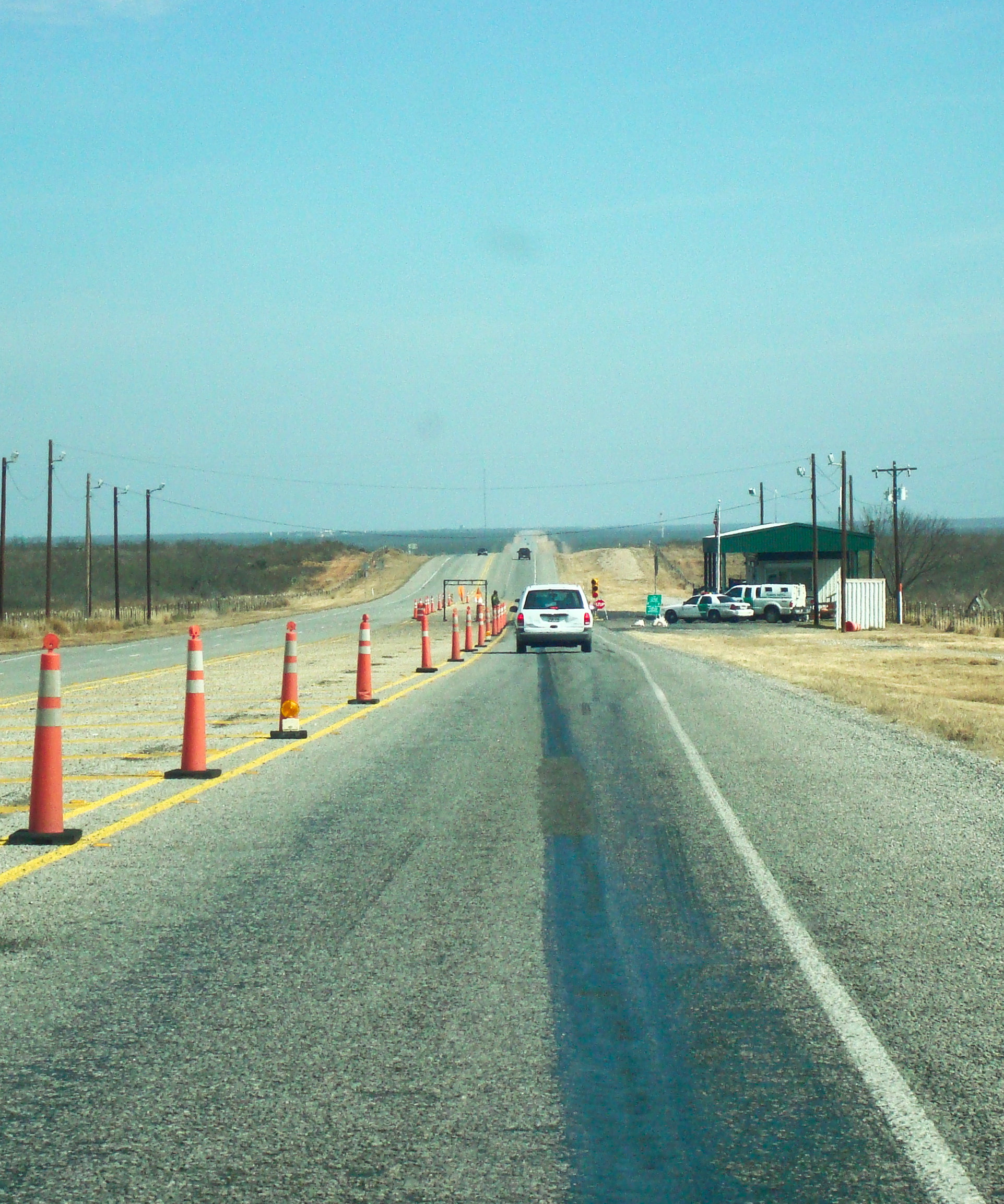
Border Patrol checkpoint
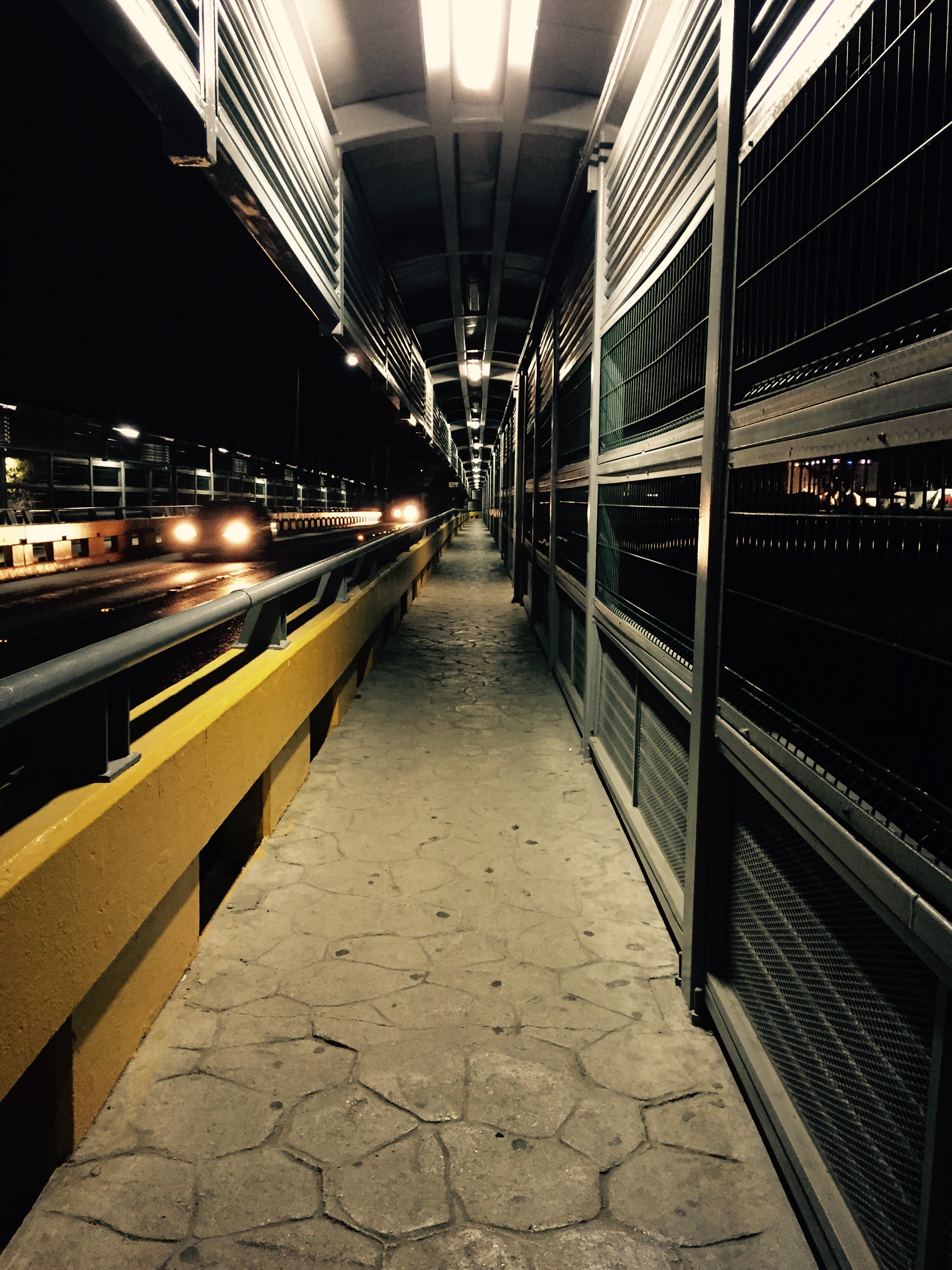
Walking in to México
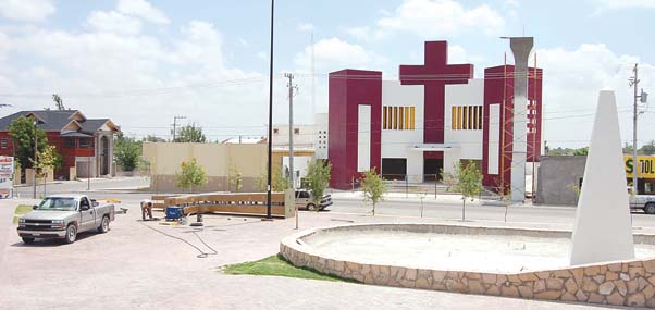
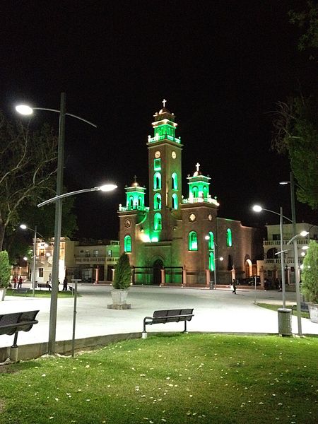
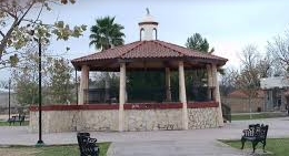
plaza villa de fuente
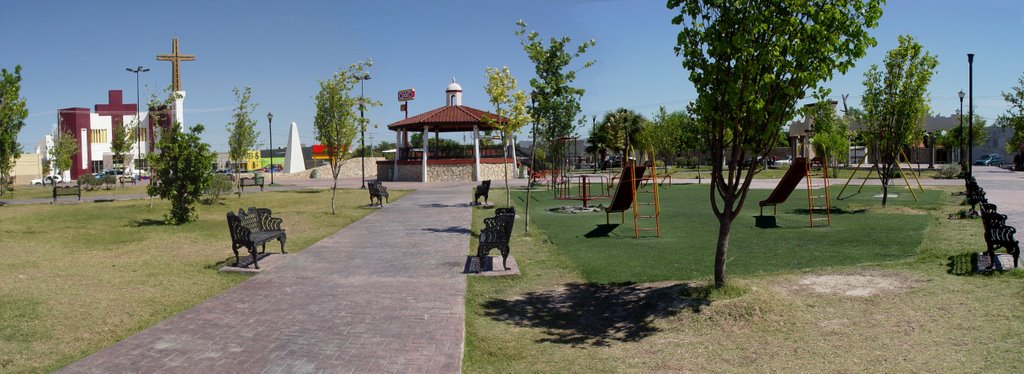
plaza villa de fuente 3
Teatro de Piedras Negras
plaza villa de fuente 5
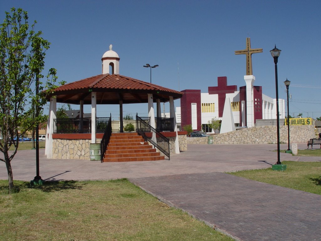
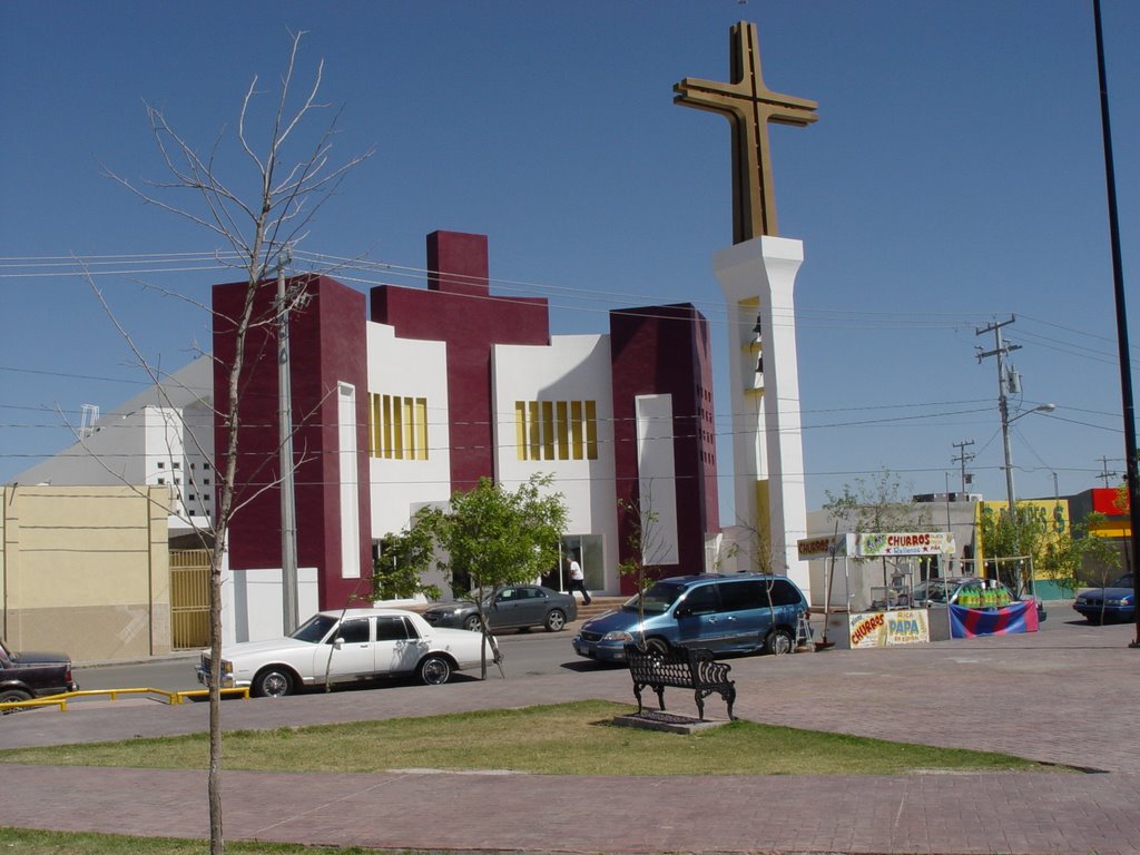
Santuario de Nuestra Señora de Guadalupe
plaza villa de fuente 2
plaza villa de fuente 4
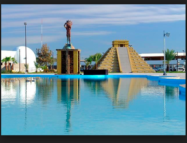
Plaza de las culturas 6
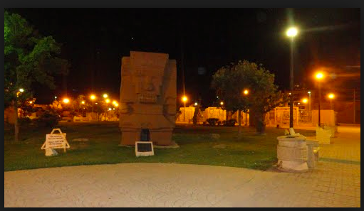
plaza de las culturas 3
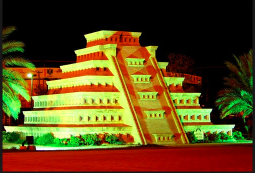
plaza de las culturas 2

plaza de las culturas 1

Paseo del Rio 3
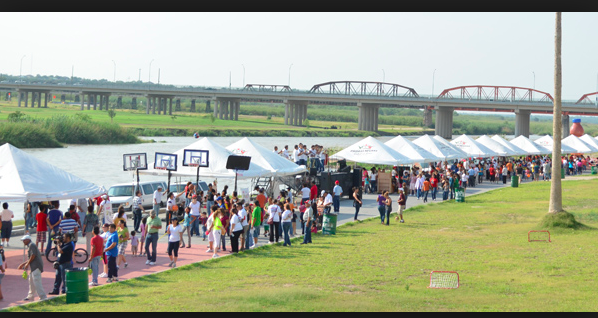
Paseo del Rio 2
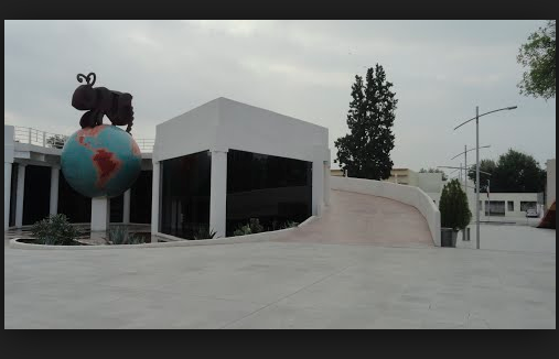
museo del nino 5
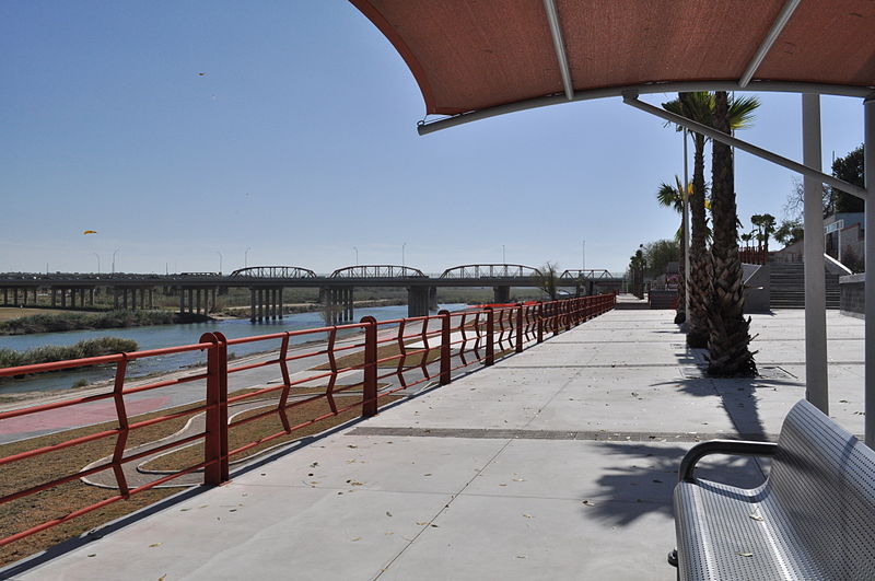
Paseo del Rio 1
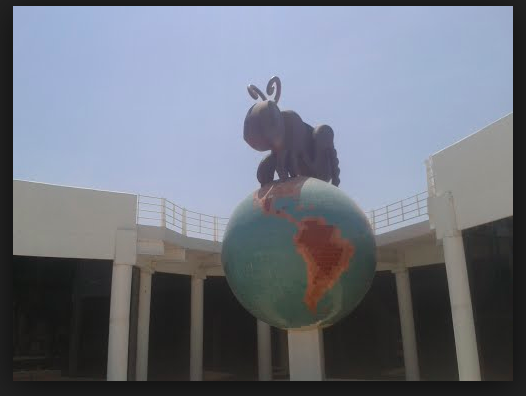
Museo del nino 4
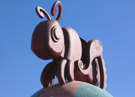
Museo del Nino 3
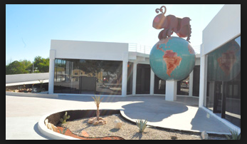
Museo del Nino 2
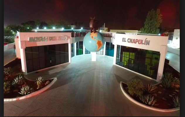
Museo del Nino 1
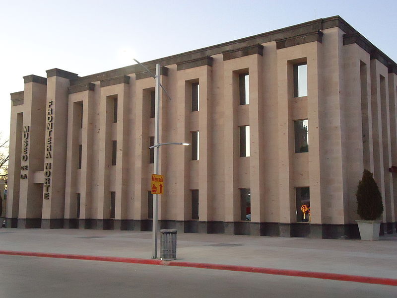
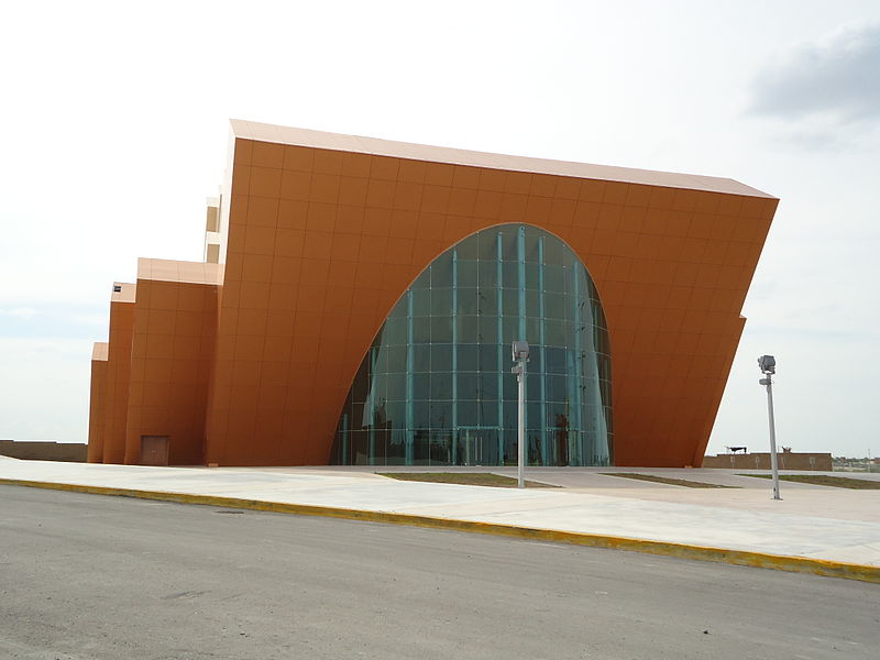
Museo de la Frontera Norte
Topographic Map of Short St, Eagle Pass, TX, USA
Find elevation by address:

Places near Short St, Eagle Pass, TX, USA:
Elm Creek
Dalia St, Eagle Pass, TX, USA
940 N Ceylon St
Eagle Pass
Main St, Eagle Pass, TX, USA
Fort Duncan Regional Medical Center
Periodistas, Roma, Piedras Negras, Coah., Mexico
Roma
Piedras Negras
Reforma 908
Seccion 1
Alvin Cir, Eagle Pass, TX, USA
Soto La Marina & Siglo Xx
Suterm
Micare & Juan De Sabinas
Morelos
Piedras Negras
Presidentes
3292 Fm1021
Gustavo Madero & Libramiento Manuel Pérez Treviño
Recent Searches:
- Elevation of Corso Fratelli Cairoli, 35, Macerata MC, Italy
- Elevation of Tallevast Rd, Sarasota, FL, USA
- Elevation of 4th St E, Sonoma, CA, USA
- Elevation of Black Hollow Rd, Pennsdale, PA, USA
- Elevation of Oakland Ave, Williamsport, PA, USA
- Elevation of Pedrógão Grande, Portugal
- Elevation of Klee Dr, Martinsburg, WV, USA
- Elevation of Via Roma, Pieranica CR, Italy
- Elevation of Tavkvetili Mountain, Georgia
- Elevation of Hartfords Bluff Cir, Mt Pleasant, SC, USA