Elevation of W Main St, Dakota, IL, USA
Location: United States > Illinois > Stephenson County > Dakota Township > Dakota >
Longitude: -89.526045
Latitude: 42.3886911
Elevation: 287m / 942feet
Barometric Pressure: 98KPa
Elevation Map:
Satellite Map:
Related Photos:

Reflection of Bygone Era
Lonely View

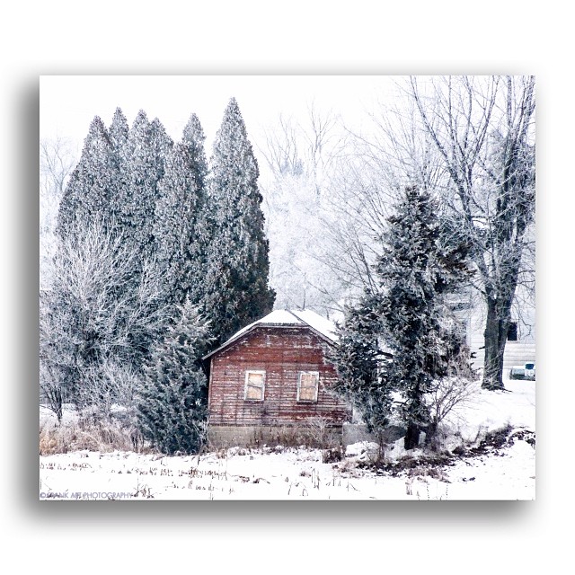
Chicken Shack Cadillac

Planet Krape Park
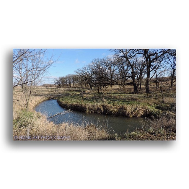
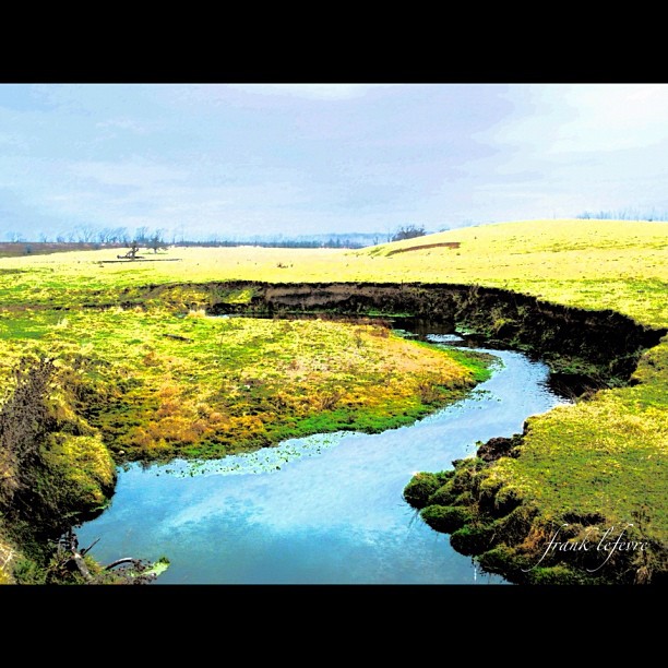
Creekside View

Talk Of Fall
Do Ya Get My Drift?

Looking The Other Way

Hill Crest Trio

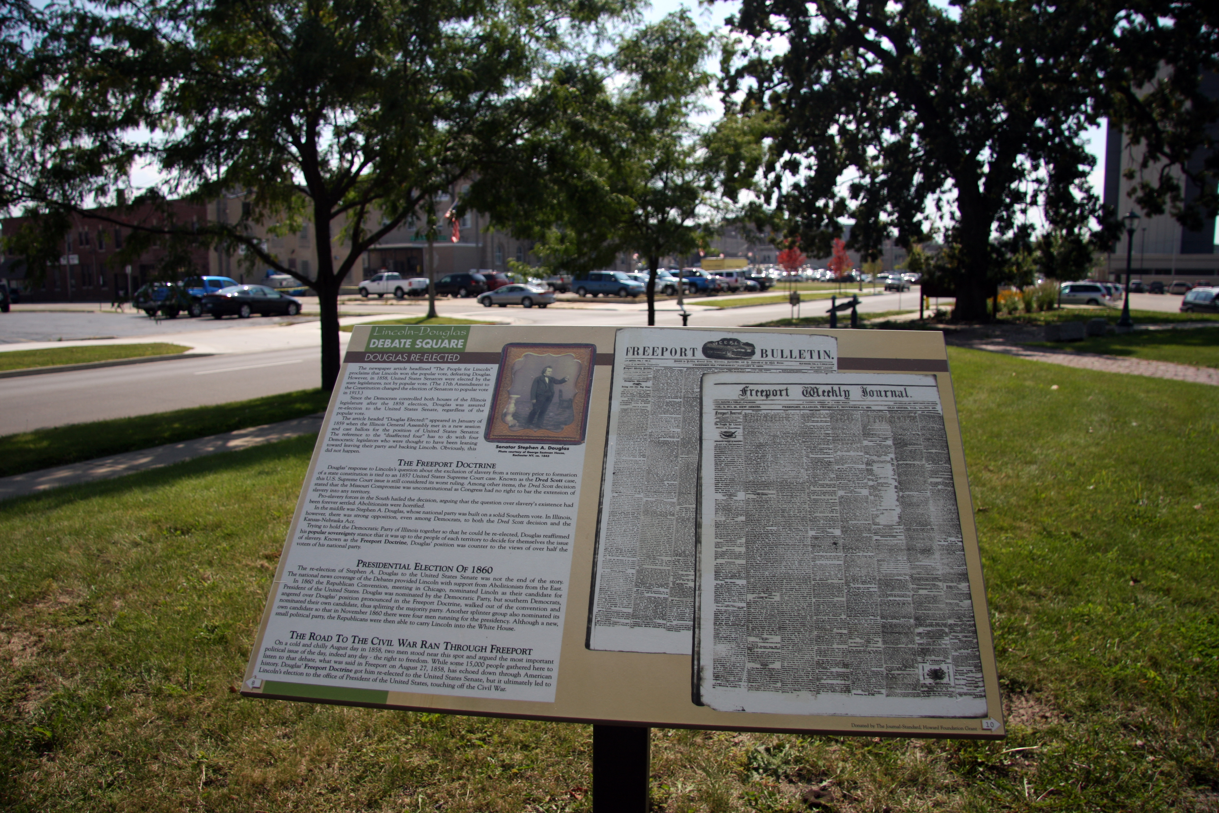
Lincoln Hangs Douglas - Caught on Film
A Powerful Scene

"To God Be The Glory" Barn, View 1

A Natural Beauty
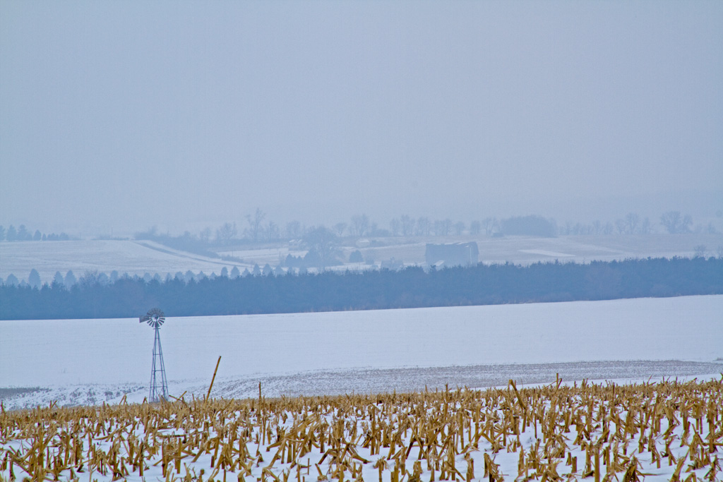
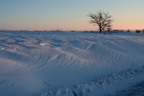
High On Winter
2011-03-30 13.42.38

2011-03-30 13.35.59
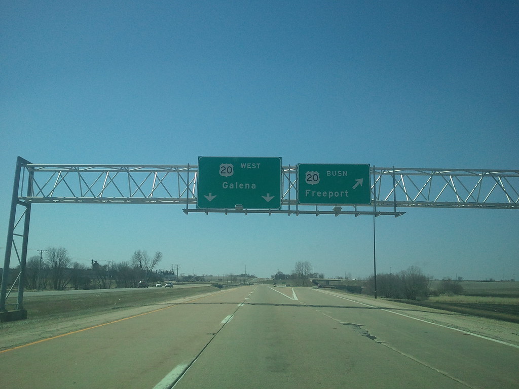
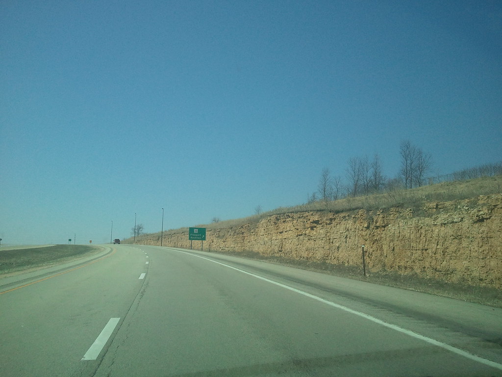
Where The War Started
2011-03-30 13.47.49
View From The Top
2011-03-30 13.38.33
2011-03-30 13.46.07

The Ways Of Water

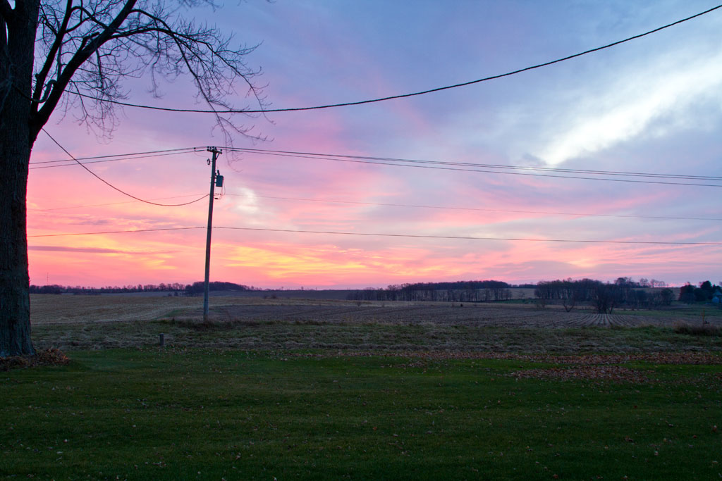
Sunset Gravel Road

R W & B

Early Rising (repost from 2013)

Black River Blues

Golden Fenced Lane

Soybean Sunset Glow

My World

No one

Forgotten Farm

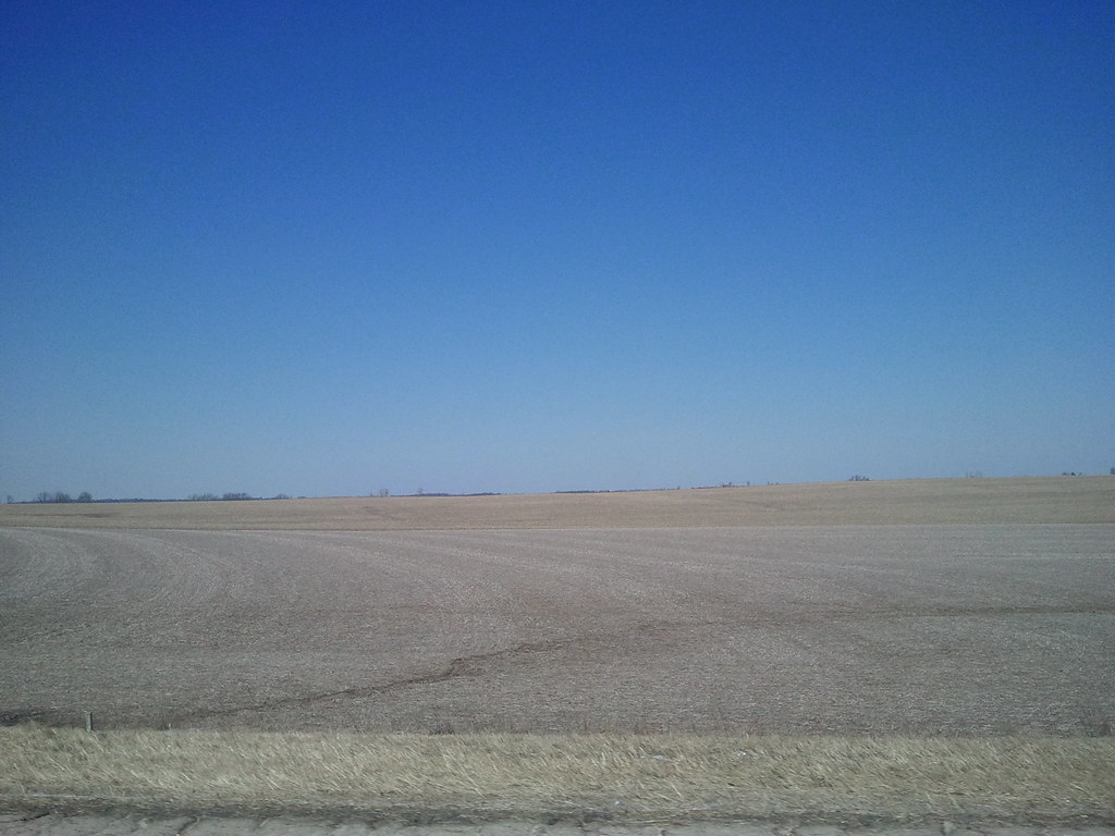
DeKalb Rural
Buffalo Creek, looking North

Roll On Crooked River

Sunrise in Oneco, Illinois

Crop art
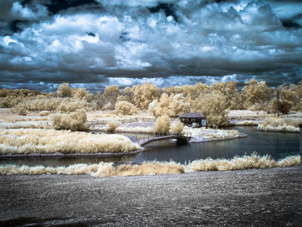
Walking Bridge to the Old Mill - IR

Wetland Reflections

Twin Pines Farm

Where the deer and the antelope play

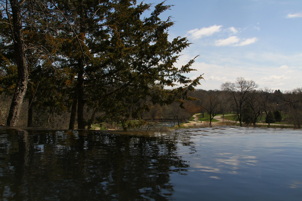
Water Level

Nothing but #cornfields & #clouds #farmland, #Illinois #instantaneo
Topographic Map of W Main St, Dakota, IL, USA
Find elevation by address:

Places near W Main St, Dakota, IL, USA:
Dakota
Dakota Township
Rock City
Rock Run Township
Washington St, Ridott, IL, USA
Ridott
Cedarville
60 N Stephenson St, Freeport, IL, USA
Davis
Buckeye Township
3682 N Irish Grove Rd
Stephenson County
S Galena Ave, Freeport, IL, USA
Freeport
1401 S Sleezer Home Rd
Jefferson
E High St, Orangeville, IL, USA
Orangeville
N890 Twin Grove Rd
Ridott Township
Recent Searches:
- Elevation of Leguwa, Nepal
- Elevation of County Rd, Enterprise, AL, USA
- Elevation of Kolchuginsky District, Vladimir Oblast, Russia
- Elevation of Shustino, Vladimir Oblast, Russia
- Elevation of Lampiasi St, Sarasota, FL, USA
- Elevation of Elwyn Dr, Roanoke Rapids, NC, USA
- Elevation of Congressional Dr, Stevensville, MD, USA
- Elevation of Bellview Rd, McLean, VA, USA
- Elevation of Stage Island Rd, Chatham, MA, USA
- Elevation of Shibuya Scramble Crossing, 21 Udagawacho, Shibuya City, Tokyo -, Japan