Elevation of N Irish Grove Rd, Davis, IL, USA
Location: United States > Illinois > Stephenson County > Rock Run Township > Davis >
Longitude: -89.408589
Latitude: 42.3561415
Elevation: 236m / 774feet
Barometric Pressure: 99KPa
Elevation Map:
Satellite Map:
Related Photos:
Looking The Other Way
High On Winter
Nighthawk View

Looking Towards The Light

An inner light from outer space.

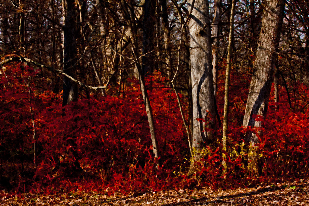
Crimson De Light

Weeping Willow Wonderland
Over Coffee

Shining Through

A scent of cedar

Sun enhanced clover eclipse

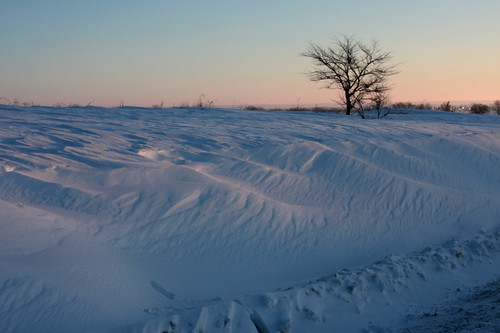
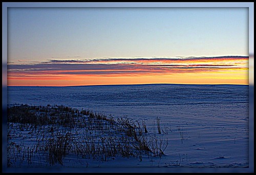
Snow Fields
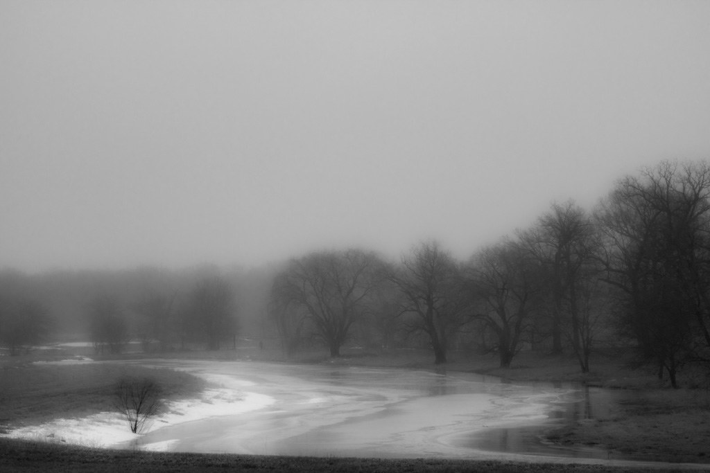
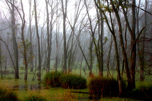
Backwater Bleak
The Look Of The Irish
Do Ya Get My Drift?
Private Preserve

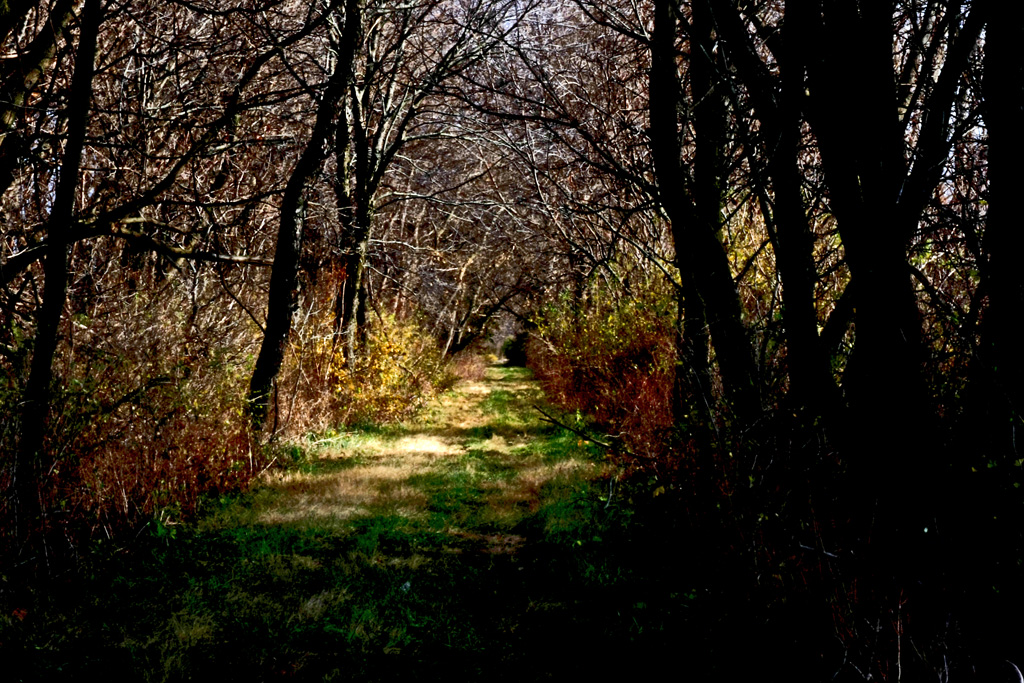
Memory Lane
Field Of Bliew

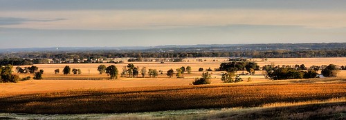
Fields Of View
A Powerful Scene
The View From The View
Closed For The Season
Final Forest Flourish
Further Down The Line
Away From It All

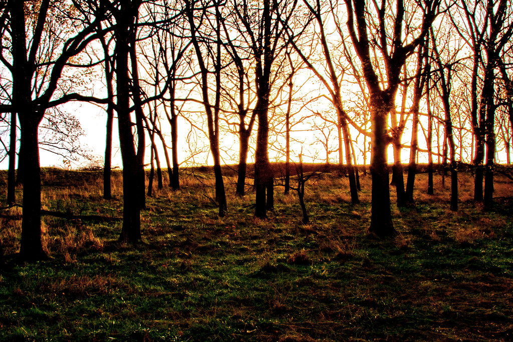
Sundown On Sixty

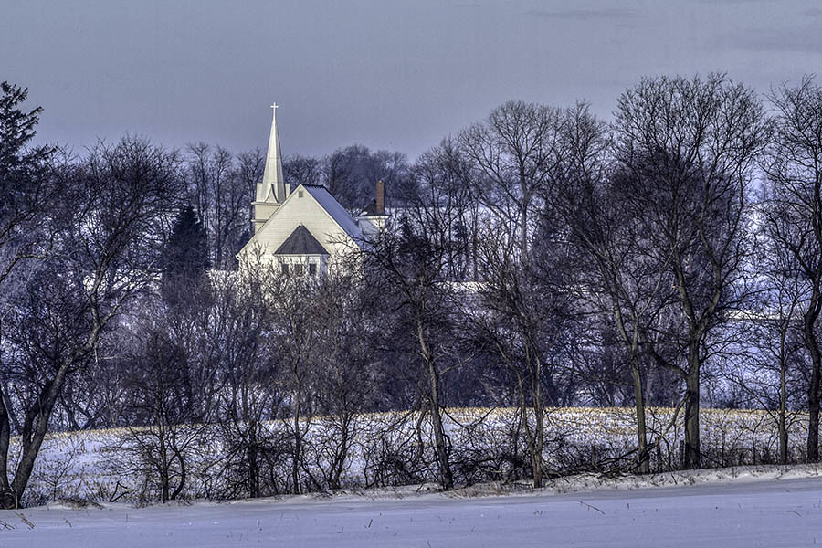
Near the District 5 Schoolhouse - Ridott, Illinois

The Ways Of Water
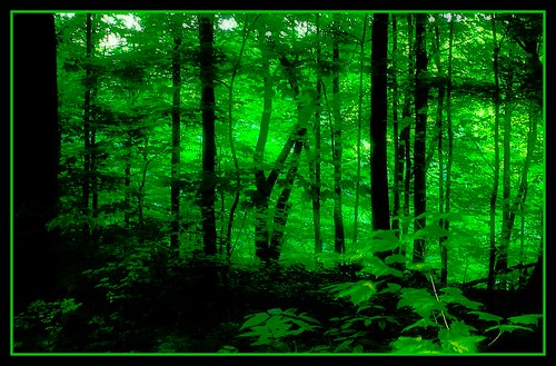
Forest Green
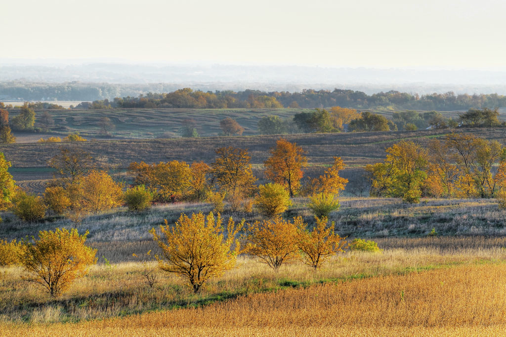
Layers Of Autumn

Grove Aire
four lakes
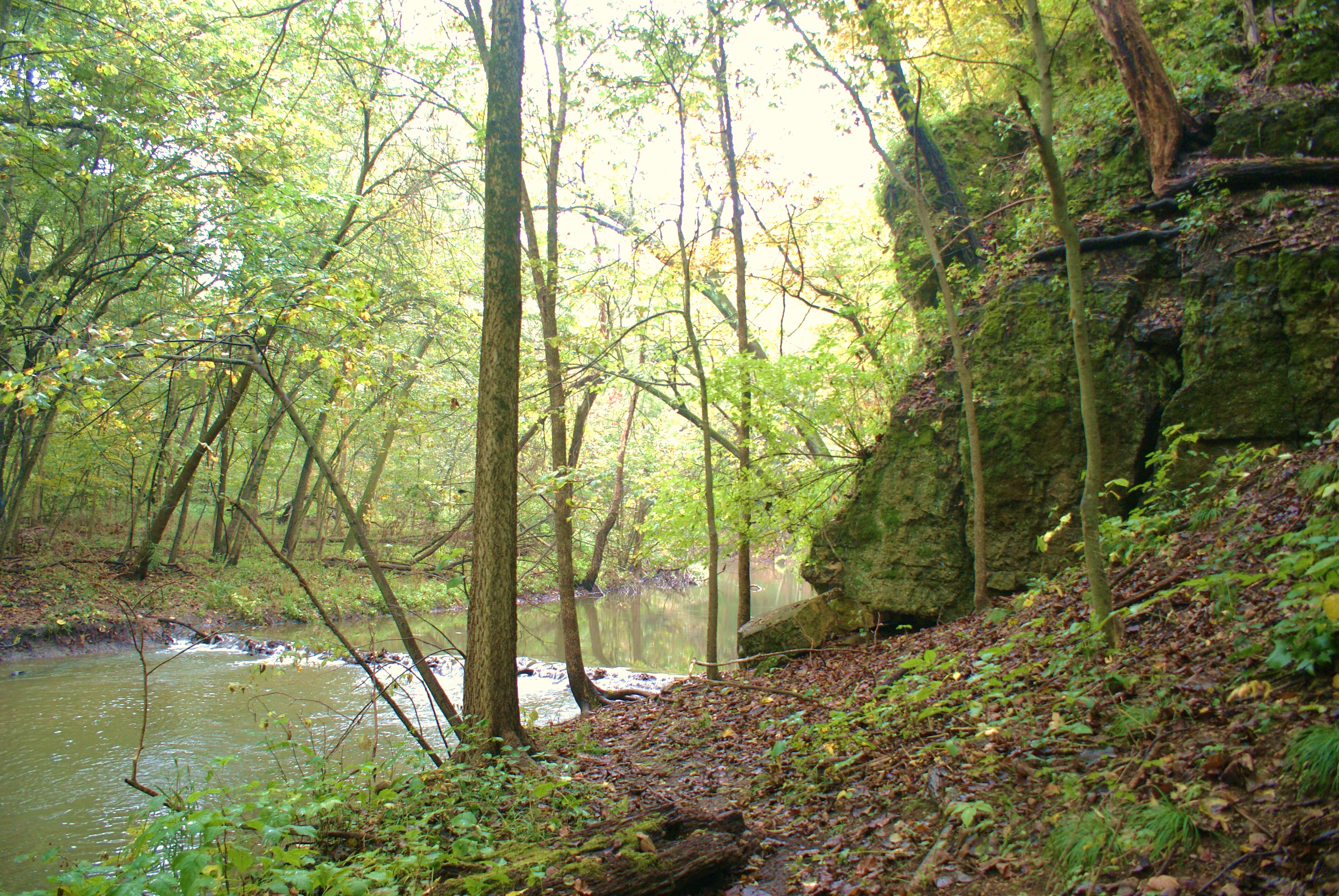
Park Creek
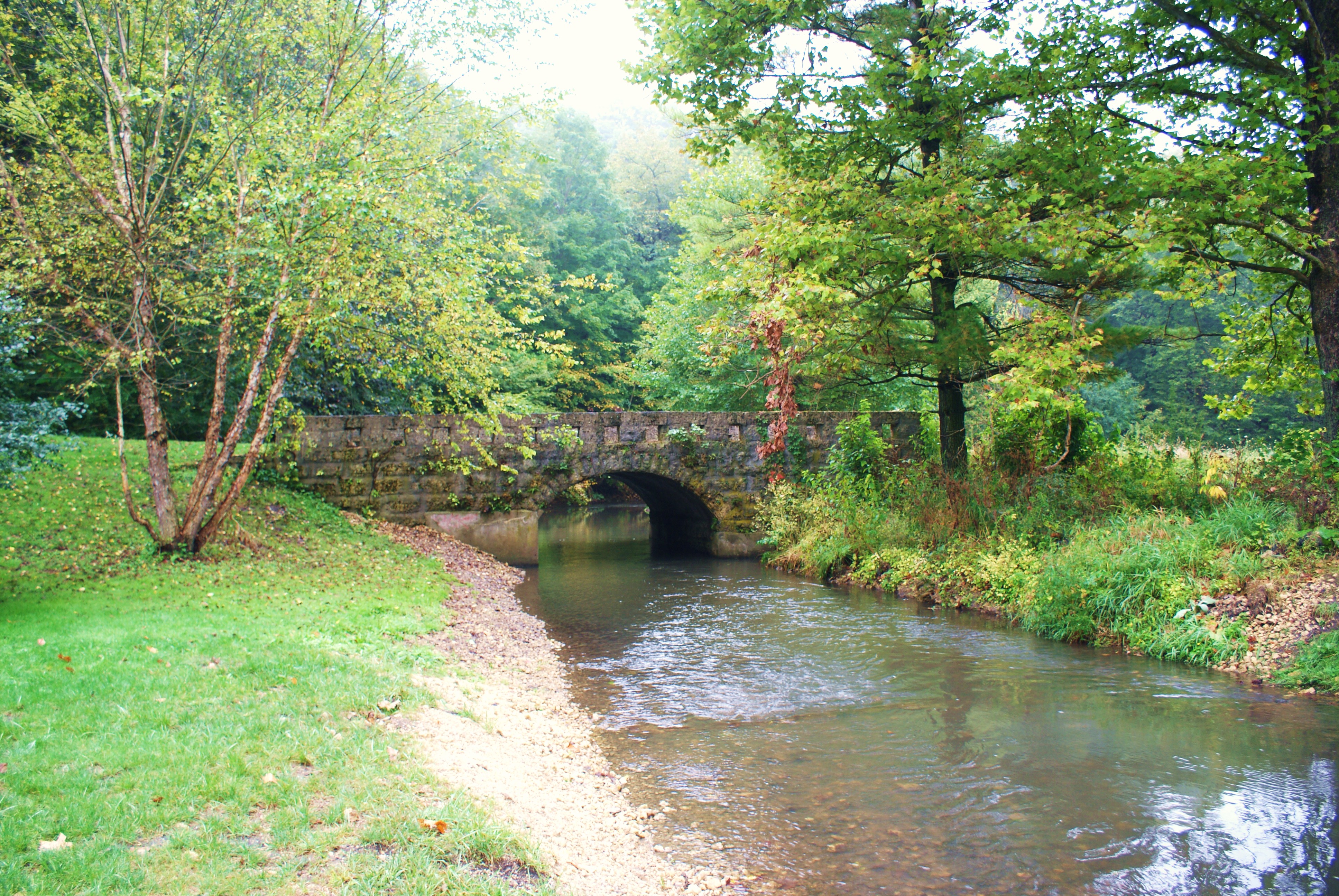
Old Stone Bridge

A Golden Opportunity
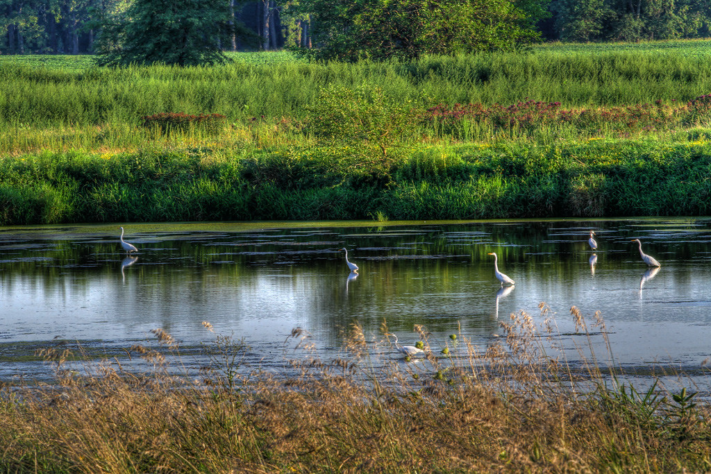
Just Wading Around For Dinner
Sugar River Valley

Grove Aire In The Afternoon
Frozen Assets
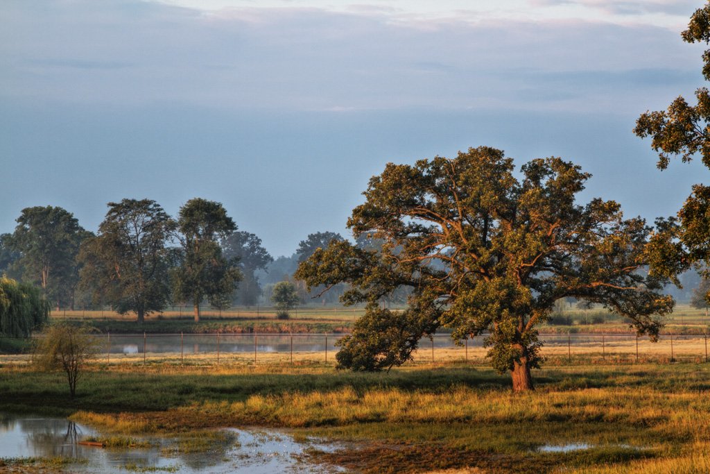
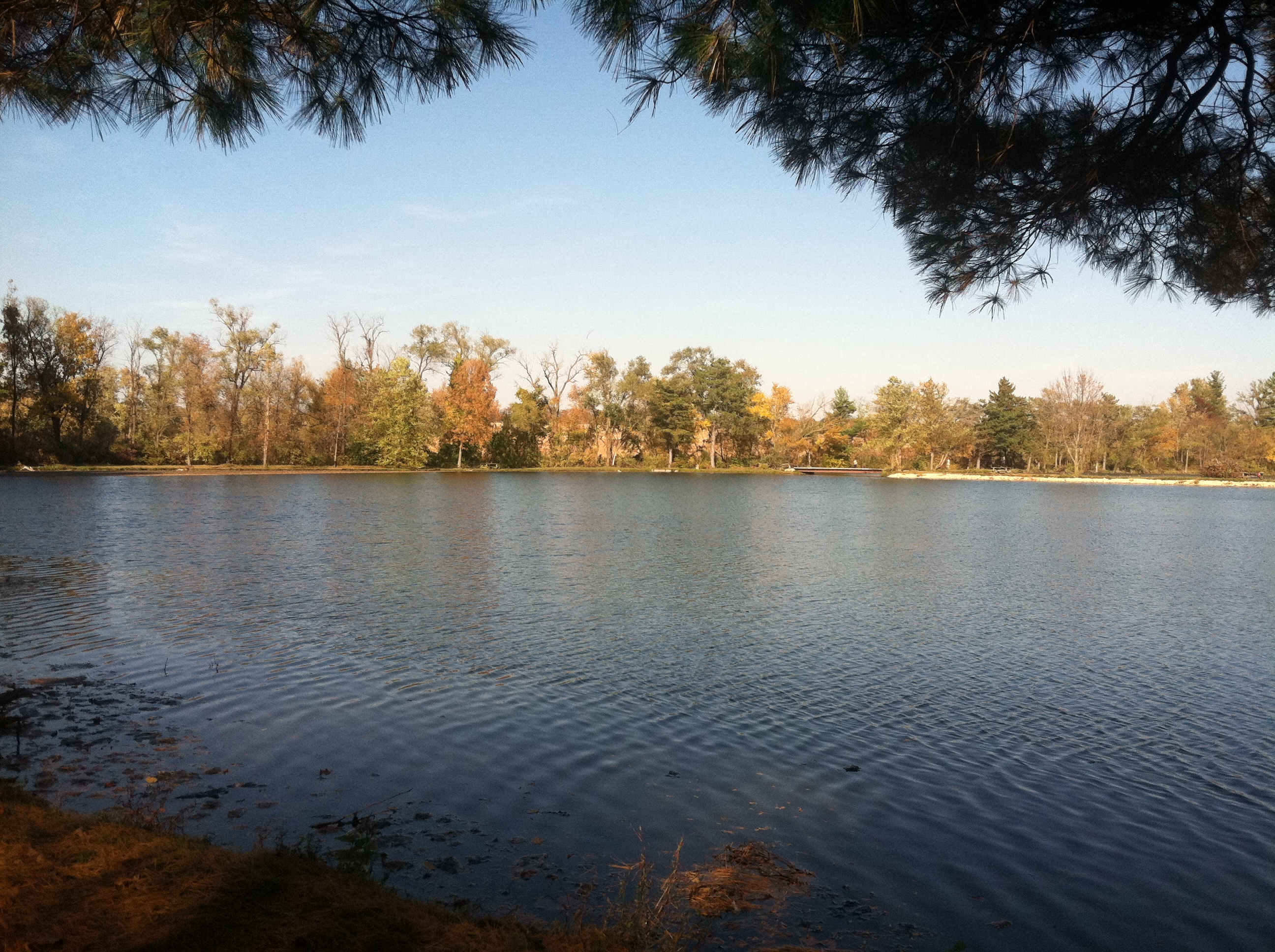
Water Level
Topographic Map of N Irish Grove Rd, Davis, IL, USA
Find elevation by address:

Places near N Irish Grove Rd, Davis, IL, USA:
6759 Best Rd
Pecatonica
E 3rd St, Pecatonica, IL, USA
Pecatonica Township
Ridott Township
Washington St, Ridott, IL, USA
Ridott
13735 Cook Rd
Seward Township
S Pecatonica Rd, Pecatonica, IL, USA
German Valley
45 Church St, German Valley, IL, USA
1401 S Sleezer Home Rd
Stephenson County
S Galena Ave, Freeport, IL, USA
Freeport
Freeport Township
Baileyville
S Commercial St, Baileyville, IL, USA
Recent Searches:
- Elevation of Beall Road, Beall Rd, Florida, USA
- Elevation of Leguwa, Nepal
- Elevation of County Rd, Enterprise, AL, USA
- Elevation of Kolchuginsky District, Vladimir Oblast, Russia
- Elevation of Shustino, Vladimir Oblast, Russia
- Elevation of Lampiasi St, Sarasota, FL, USA
- Elevation of Elwyn Dr, Roanoke Rapids, NC, USA
- Elevation of Congressional Dr, Stevensville, MD, USA
- Elevation of Bellview Rd, McLean, VA, USA
- Elevation of Stage Island Rd, Chatham, MA, USA