Elevation of Freeport Township, IL, USA
Location: United States > Illinois > Stephenson County >
Longitude: -89.639286
Latitude: 42.2899043
Elevation: 246m / 807feet
Barometric Pressure: 98KPa
Elevation Map:
Satellite Map:
Related Photos:

Reflection of Bygone Era

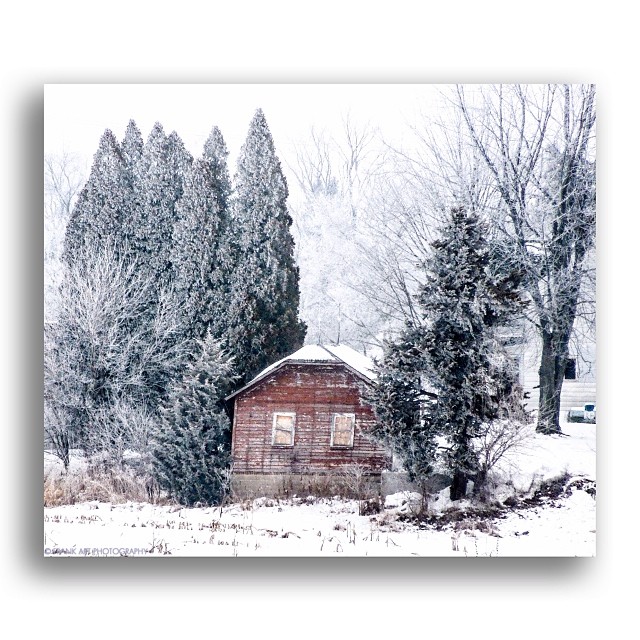
Chicken Shack Cadillac
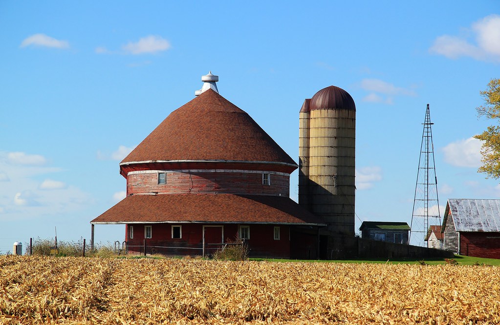
Red Oval Barn
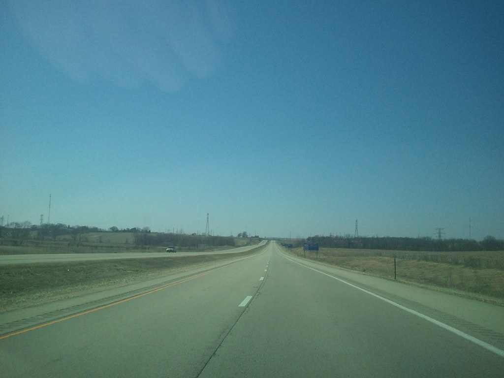
Lonely View

Planet Krape Park
Talk Of Fall
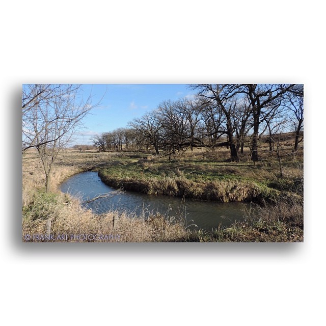
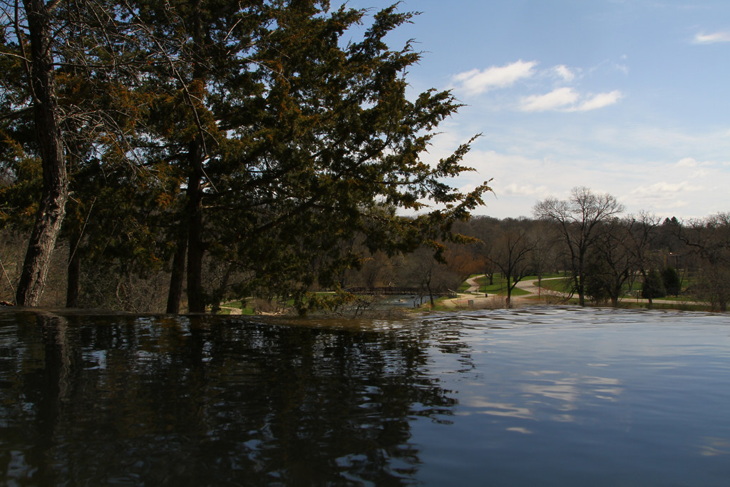
Creekside View
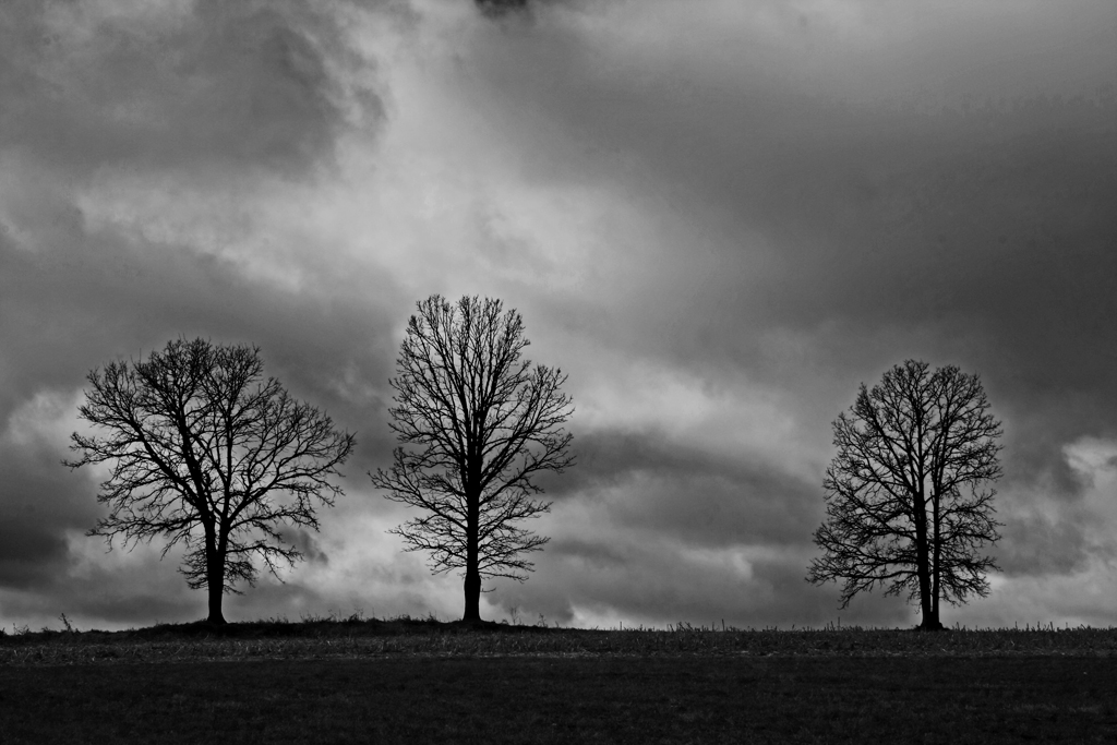
Hill Crest Trio
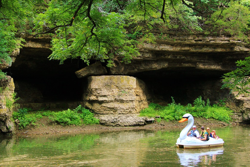
Twin Caves, Freeport IL
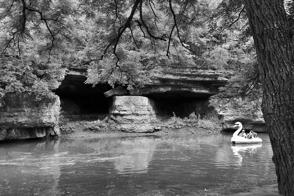
Twin Caves Freeport B&W

Krape Park Flagstaff View
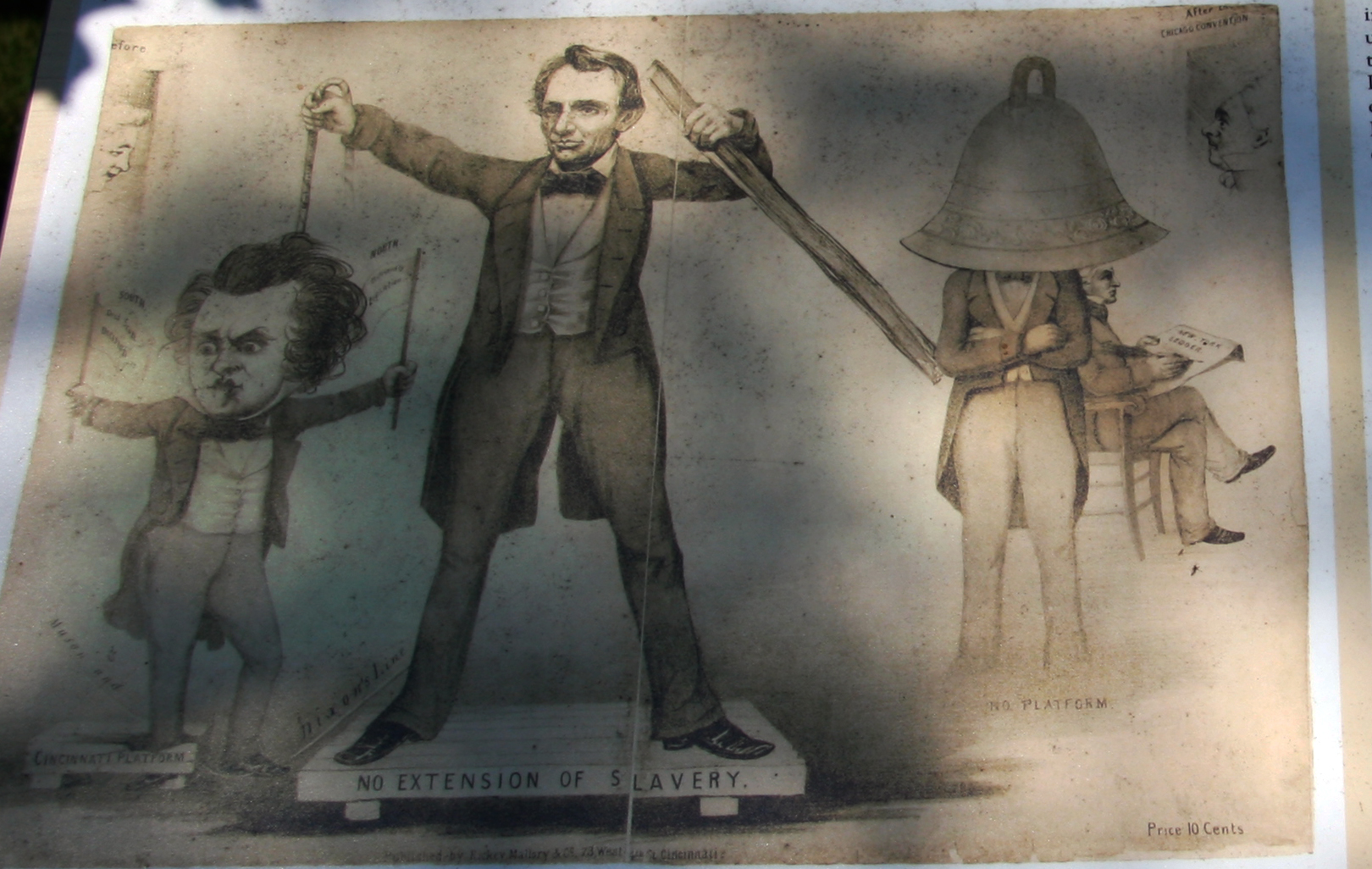
Lincoln Hangs Douglas - Caught on Film
2011-03-30 13.43.43
2011-03-30 13.42.38
2011-03-30 14.00.10
Where The War Started
2011-03-30 13.47.49
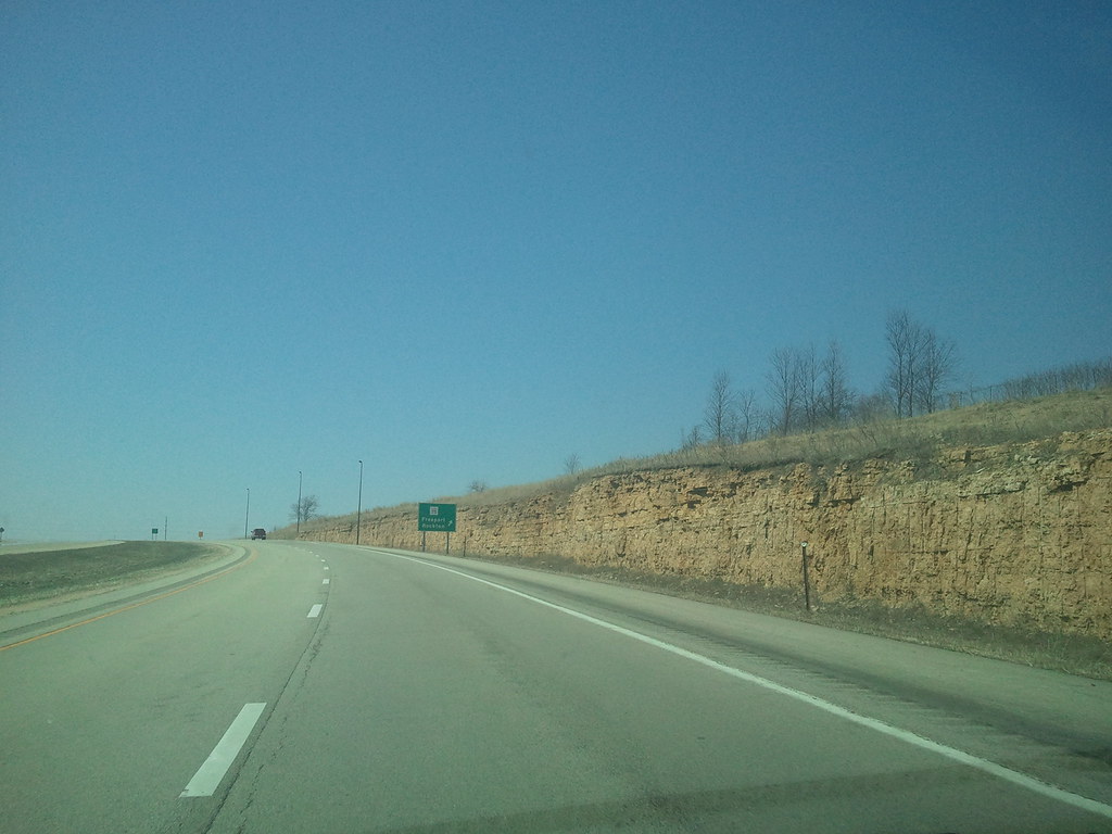
View From The Top
2011-03-30 13.38.33
2011-03-30 13.46.07
2011-03-30 13.38.56
Topographic Map of Freeport Township, IL, USA
Find elevation by address:

Places in Freeport Township, IL, USA:
Places near Freeport Township, IL, USA:
Freeport
S Galena Ave, Freeport, IL, USA
Stephenson County
1401 S Sleezer Home Rd
Baileyville
S Commercial St, Baileyville, IL, USA
Ridott
Washington St, Ridott, IL, USA
45 Church St, German Valley, IL, USA
German Valley
Ridott Township
3682 N Irish Grove Rd
6759 Best Rd
Pecatonica
E 3rd St, Pecatonica, IL, USA
S Pecatonica Rd, Pecatonica, IL, USA
Seward Township
Pecatonica Township
13735 Cook Rd
Recent Searches:
- Elevation of Corso Fratelli Cairoli, 35, Macerata MC, Italy
- Elevation of Tallevast Rd, Sarasota, FL, USA
- Elevation of 4th St E, Sonoma, CA, USA
- Elevation of Black Hollow Rd, Pennsdale, PA, USA
- Elevation of Oakland Ave, Williamsport, PA, USA
- Elevation of Pedrógão Grande, Portugal
- Elevation of Klee Dr, Martinsburg, WV, USA
- Elevation of Via Roma, Pieranica CR, Italy
- Elevation of Tavkvetili Mountain, Georgia
- Elevation of Hartfords Bluff Cir, Mt Pleasant, SC, USA