Elevation of W Harper St, Snow Hill, NC, USA
Location: United States > North Carolina > Greene County >
Longitude: -77.681256
Latitude: 35.451589
Elevation: 26m / 85feet
Barometric Pressure: 101KPa
Elevation Map:
Satellite Map:
Related Photos:
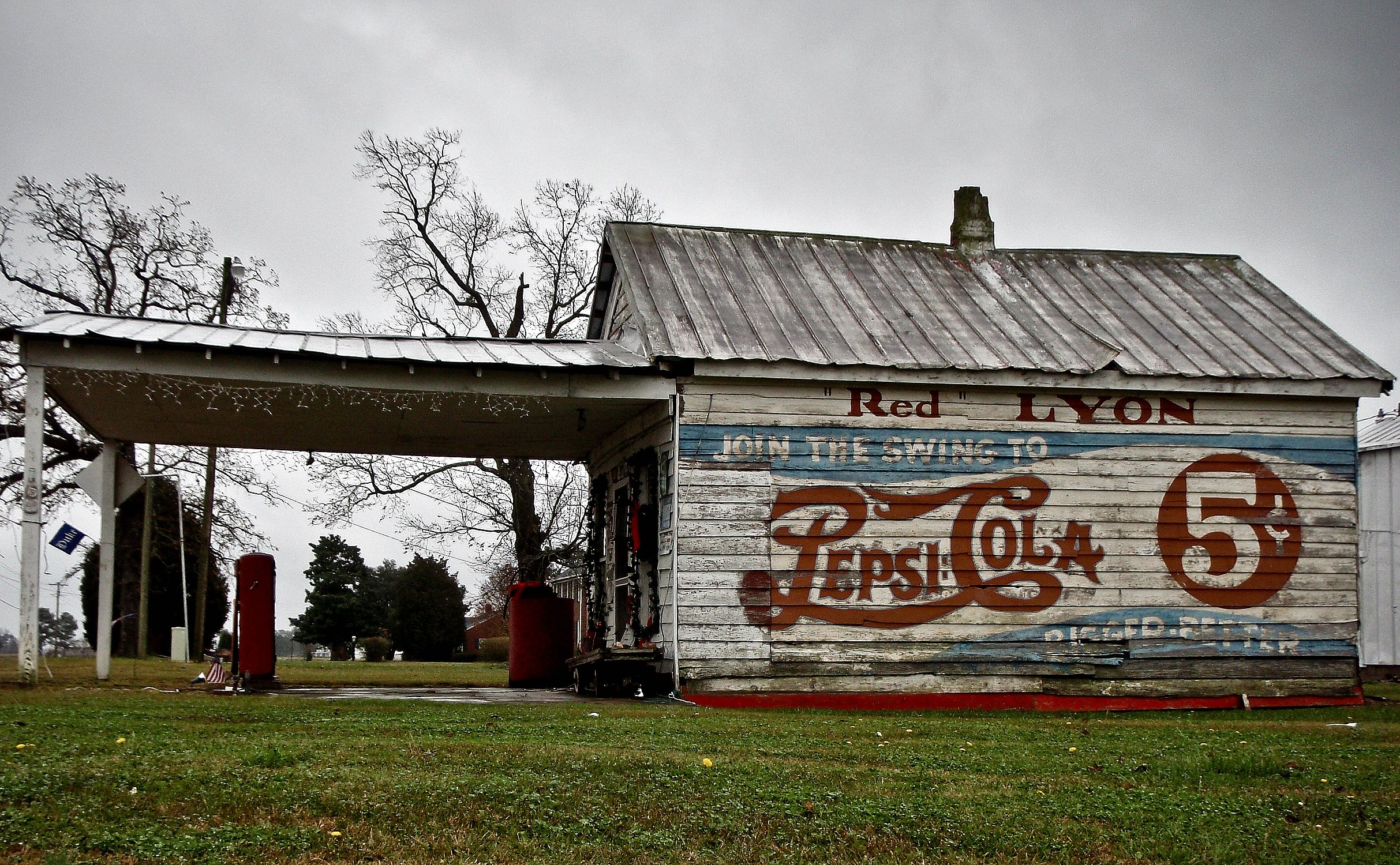
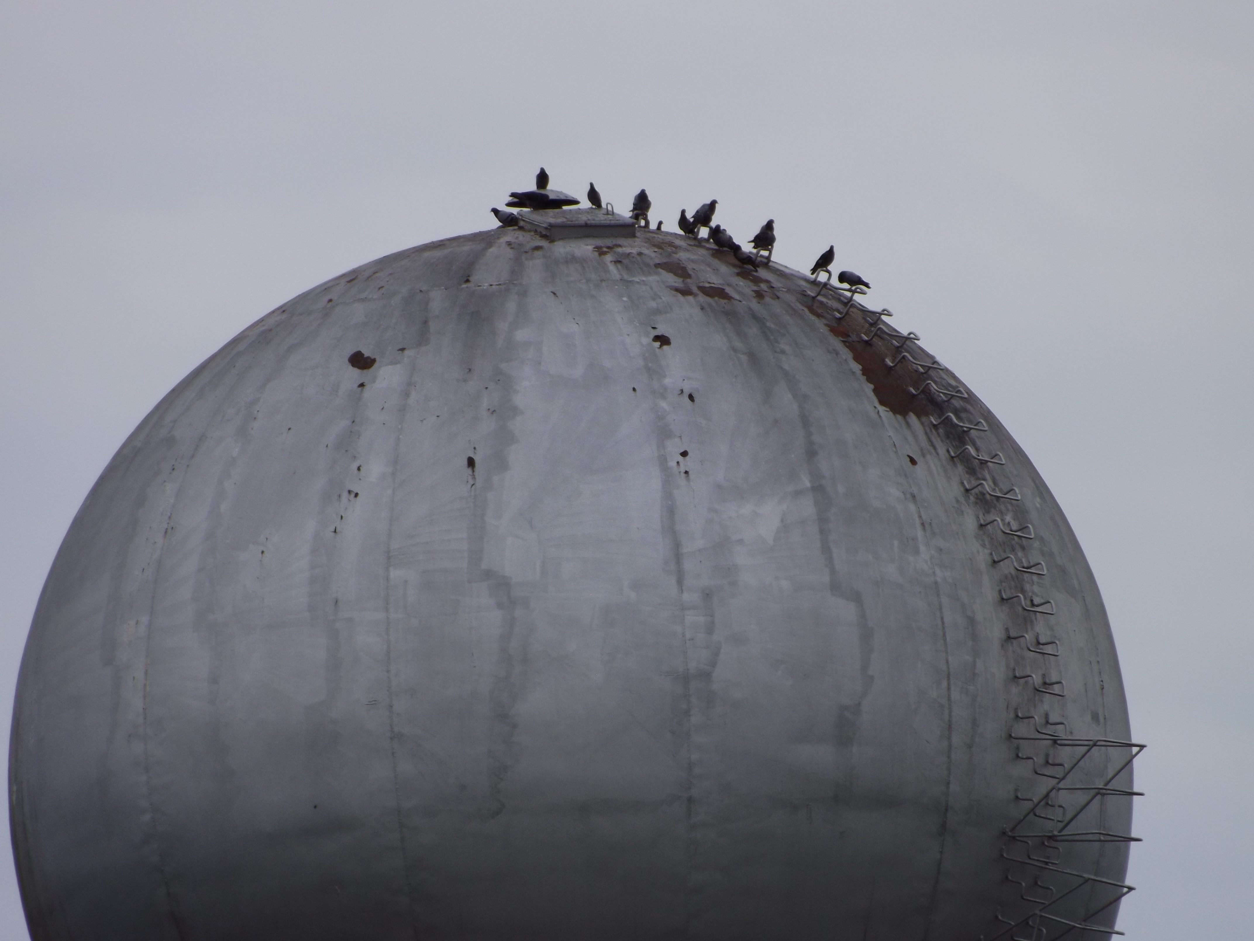
RED LYON
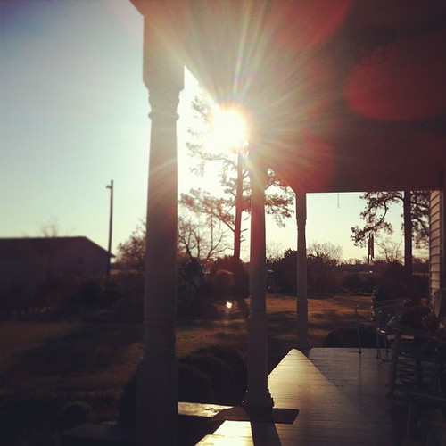
I could start every day sitting on the porch at @carl family house. the light is perfect, the view is serene and the porch is exactly how it should it be. #northcarolina #snowhill #iloveflares

Abandoned Greene County Farmhouse

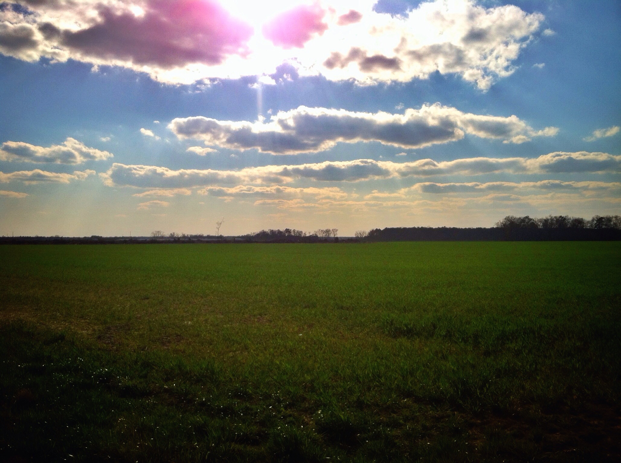
a view this pretty doesn't need any editing! @carl family farm. so very, very pretty and peaceful. #northcarolina #snowhill #ilovetrees
78/365/2013 Big Sky Country

Early Sunrise to Florida
Video of Carolina Coastal rattles Walstonburg

Carolina Coastal rattles Walstonburg

Meyer's Furniture???
Absolutely not

Leavers and Knobs
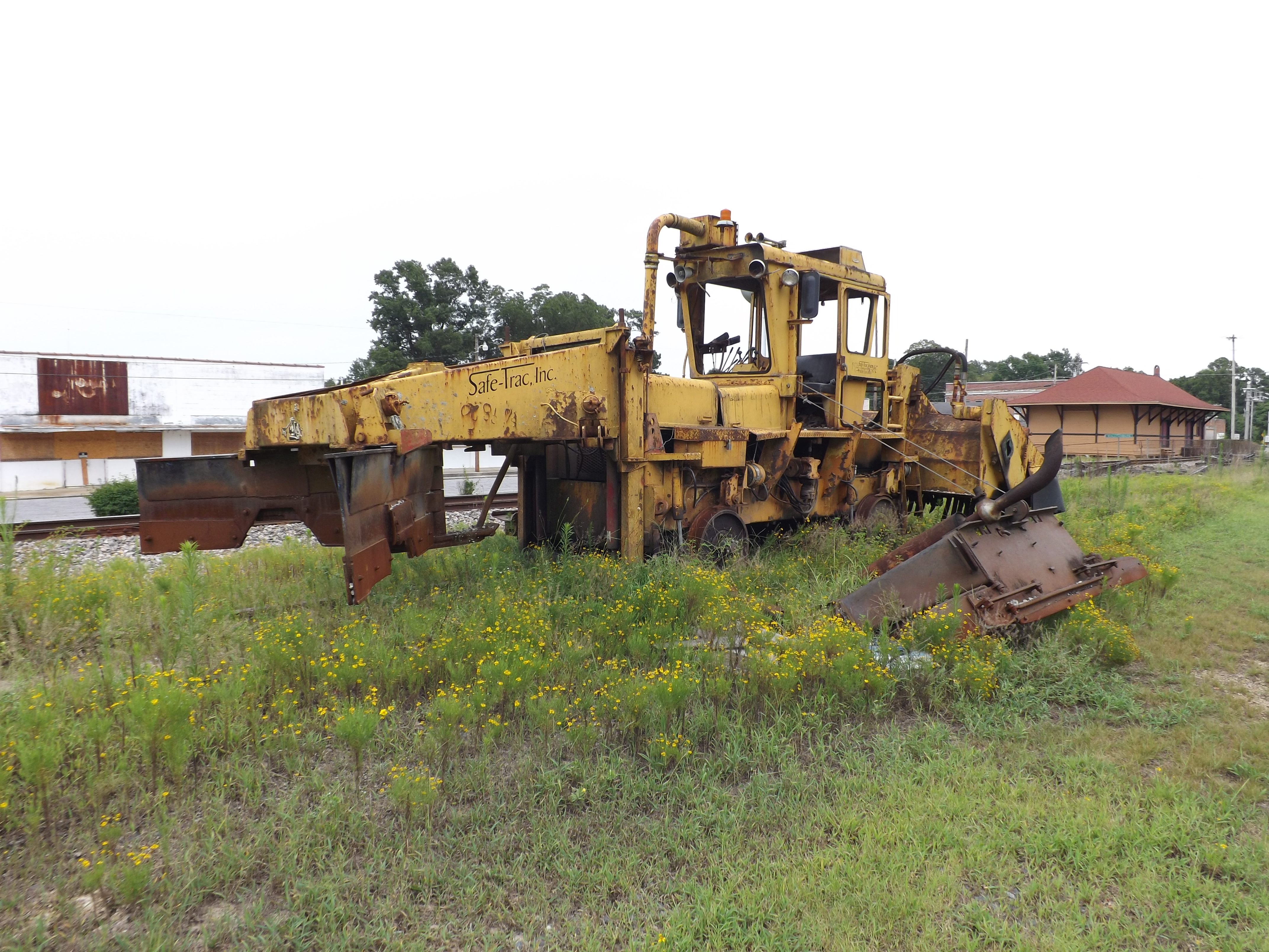
Ballast Regulator at Walstonburg Station

I'm gonna practice so I can join the dance off next time. Nice moves!

Dark Window
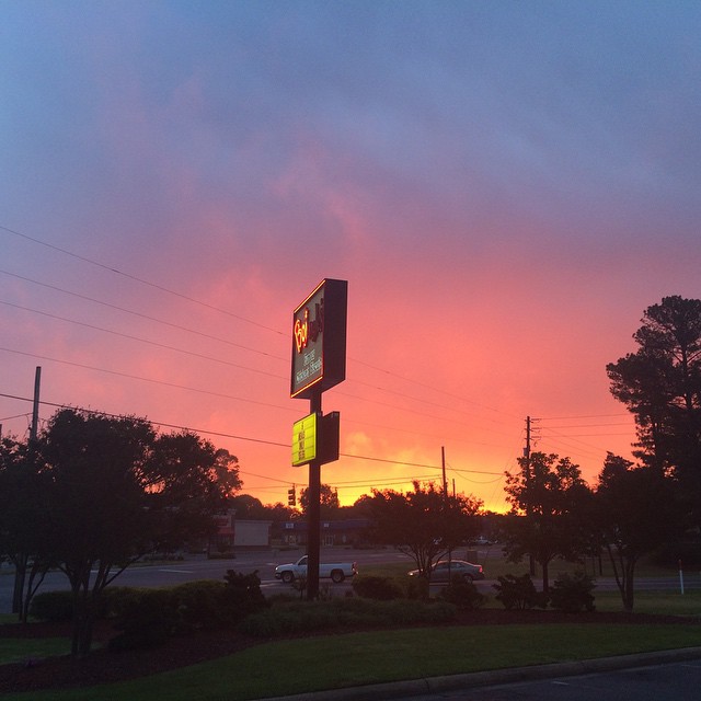
#Bojangles #sunrise
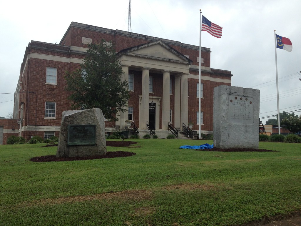
Greene County Courthouse

Greene County Courthouse 1935
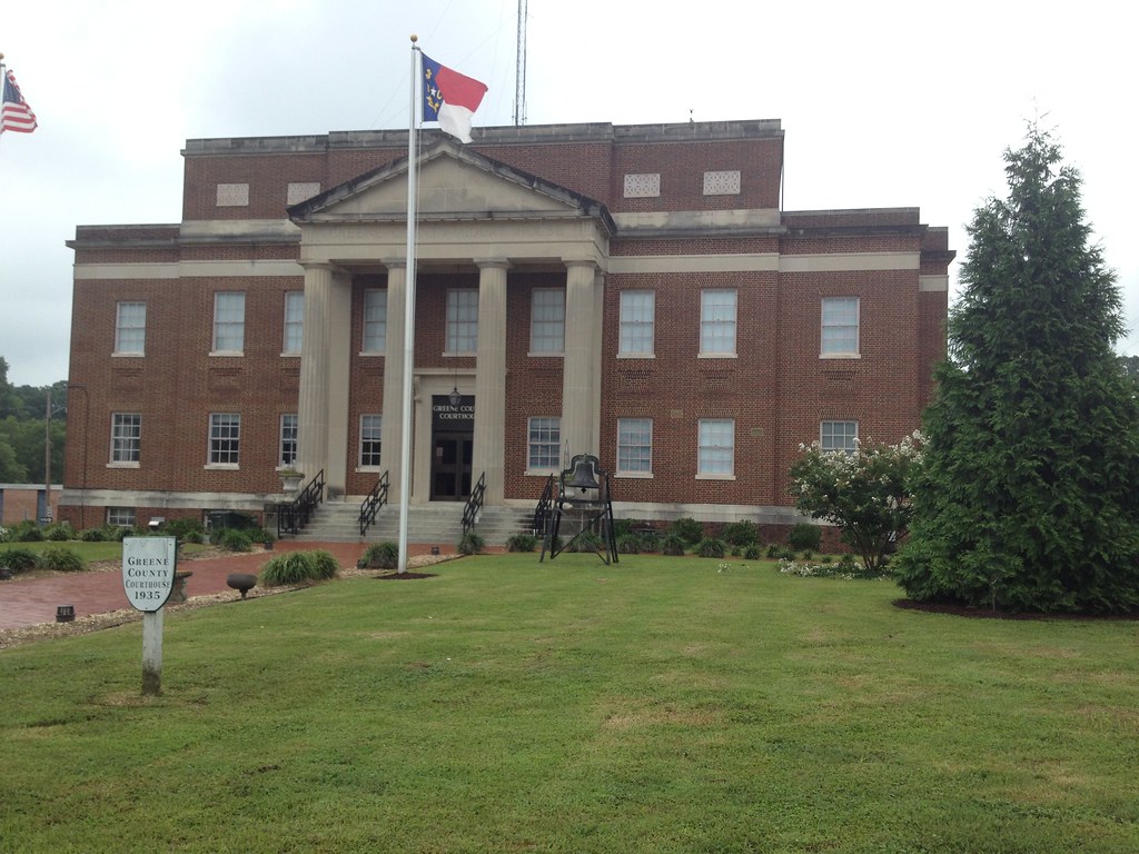
Greene County Courthouse
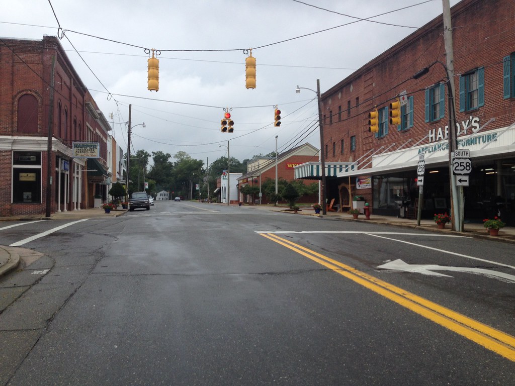
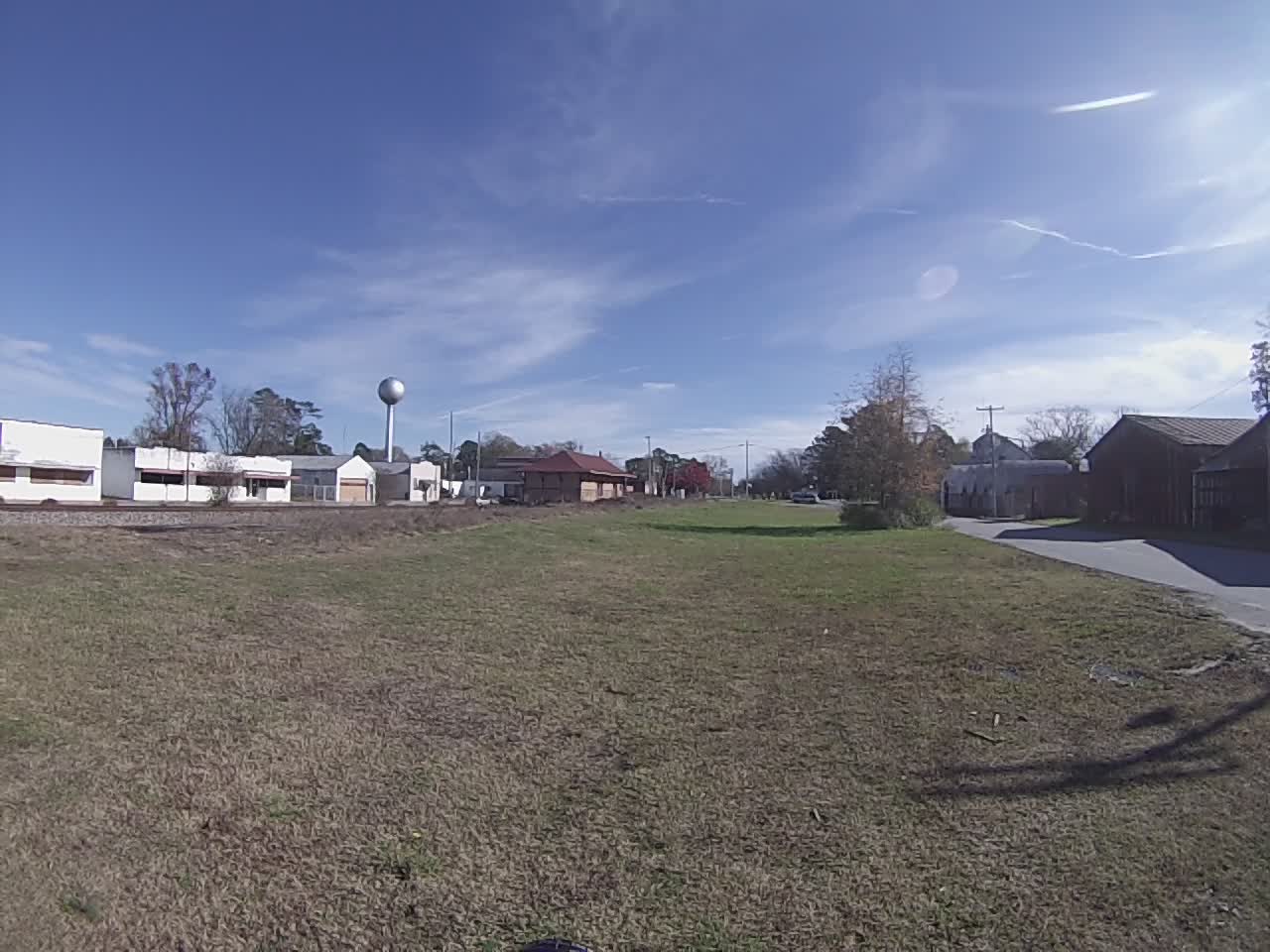
Downtown Snow Hill, NC
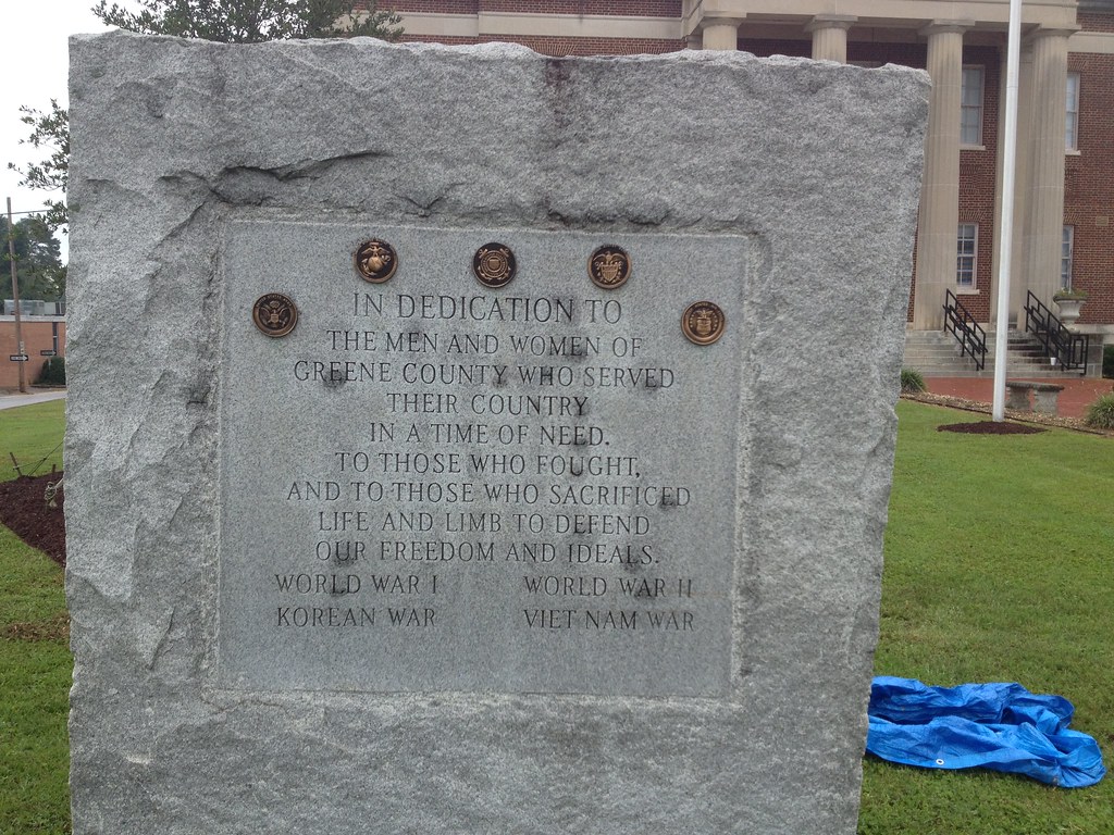
Greene County Veterans Memorial
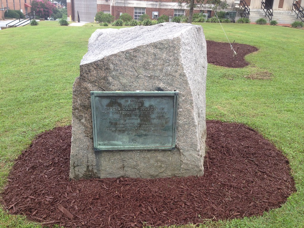
Greene County Confederate Memorial

Boy Scout Hut, Troop 74
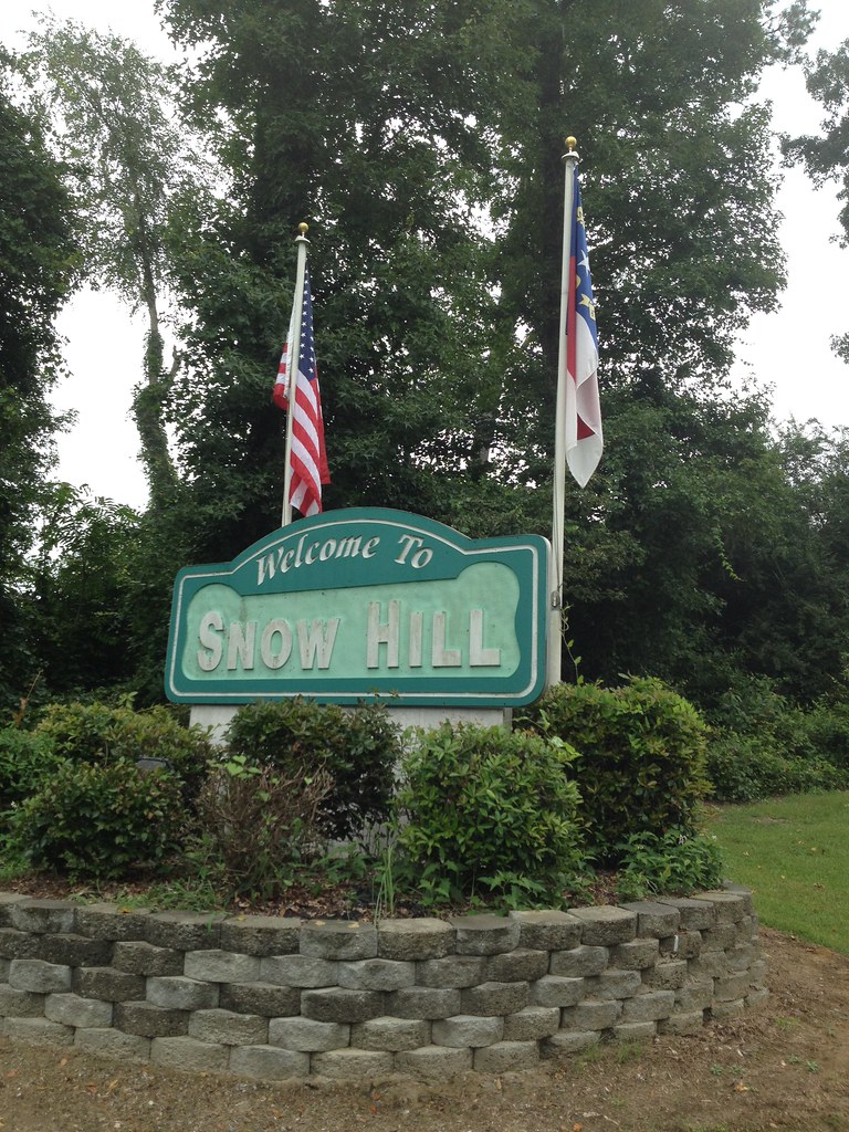
Welcome to Snow Hill
Topographic Map of W Harper St, Snow Hill, NC, USA
Find elevation by address:

Places near W Harper St, Snow Hill, NC, USA:
Snow Hill
115 W Greene St
102 Nw 2nd St
Snow Hill
Greene Central High School
Glenfield Rd, Snow Hill, NC, USA
Hookerton
Hookerton
24 Ormondsville Rd, Hookerton, NC, USA
1300 Mike Stocks Rd
Dawson Station Rd, Kinston, NC, USA
1399 Mike Stocks Rd
4675 Ben Dail Rd
Neuse River
Ormonds
Vance
3800 North Carolina Hwy 58
Hugo Rd, Grifton, NC, USA
Contentnea Neck
1044 Jacksontown Rd
Recent Searches:
- Elevation of N, Mt Pleasant, UT, USA
- Elevation of 6 Rue Jules Ferry, Beausoleil, France
- Elevation of Sattva Horizon, 4JC6+G9P, Vinayak Nagar, Kattigenahalli, Bengaluru, Karnataka, India
- Elevation of Great Brook Sports, Gold Star Hwy, Groton, CT, USA
- Elevation of 10 Mountain Laurels Dr, Nashua, NH, USA
- Elevation of 16 Gilboa Ln, Nashua, NH, USA
- Elevation of Laurel Rd, Townsend, TN, USA
- Elevation of 3 Nestling Wood Dr, Long Valley, NJ, USA
- Elevation of Ilungu, Tanzania
- Elevation of Yellow Springs Road, Yellow Springs Rd, Chester Springs, PA, USA