Elevation of Hookerton, NC, USA
Location: United States > North Carolina > Greene County >
Longitude: -77.619244
Latitude: 35.3959806
Elevation: 25m / 82feet
Barometric Pressure: 101KPa
Elevation Map:
Satellite Map:
Related Photos:

RED LYON
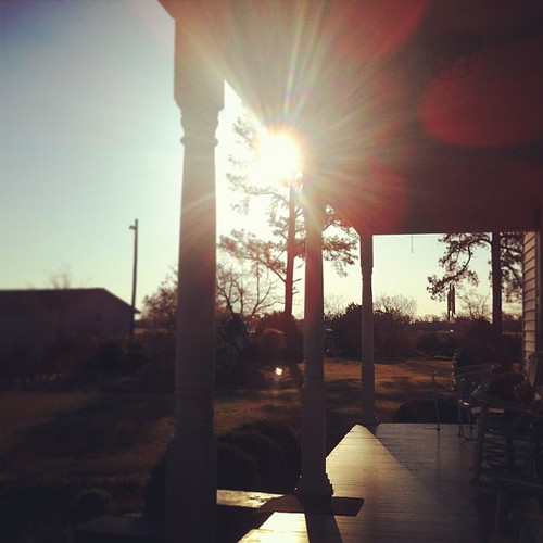
I could start every day sitting on the porch at @carl family house. the light is perfect, the view is serene and the porch is exactly how it should it be. #northcarolina #snowhill #iloveflares

Abandoned Greene County Farmhouse

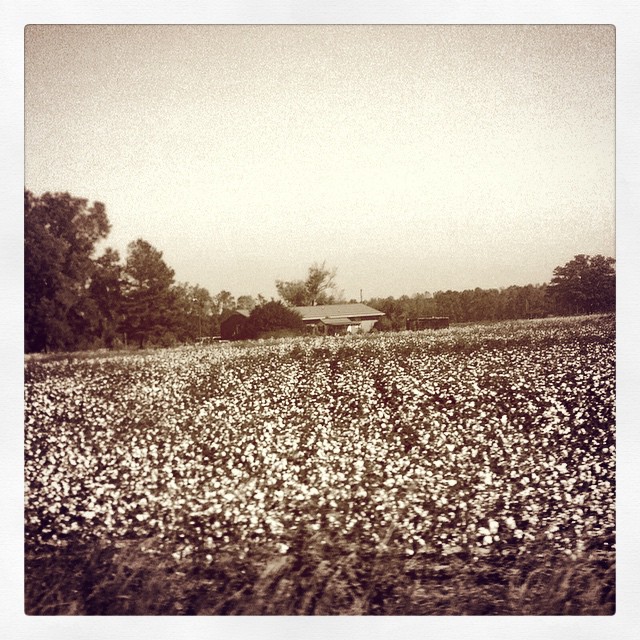
a view this pretty doesn't need any editing! @carl family farm. so very, very pretty and peaceful. #northcarolina #snowhill #ilovetrees

2 16 2014 QSUMC NE YahooWP

Pretty Bird
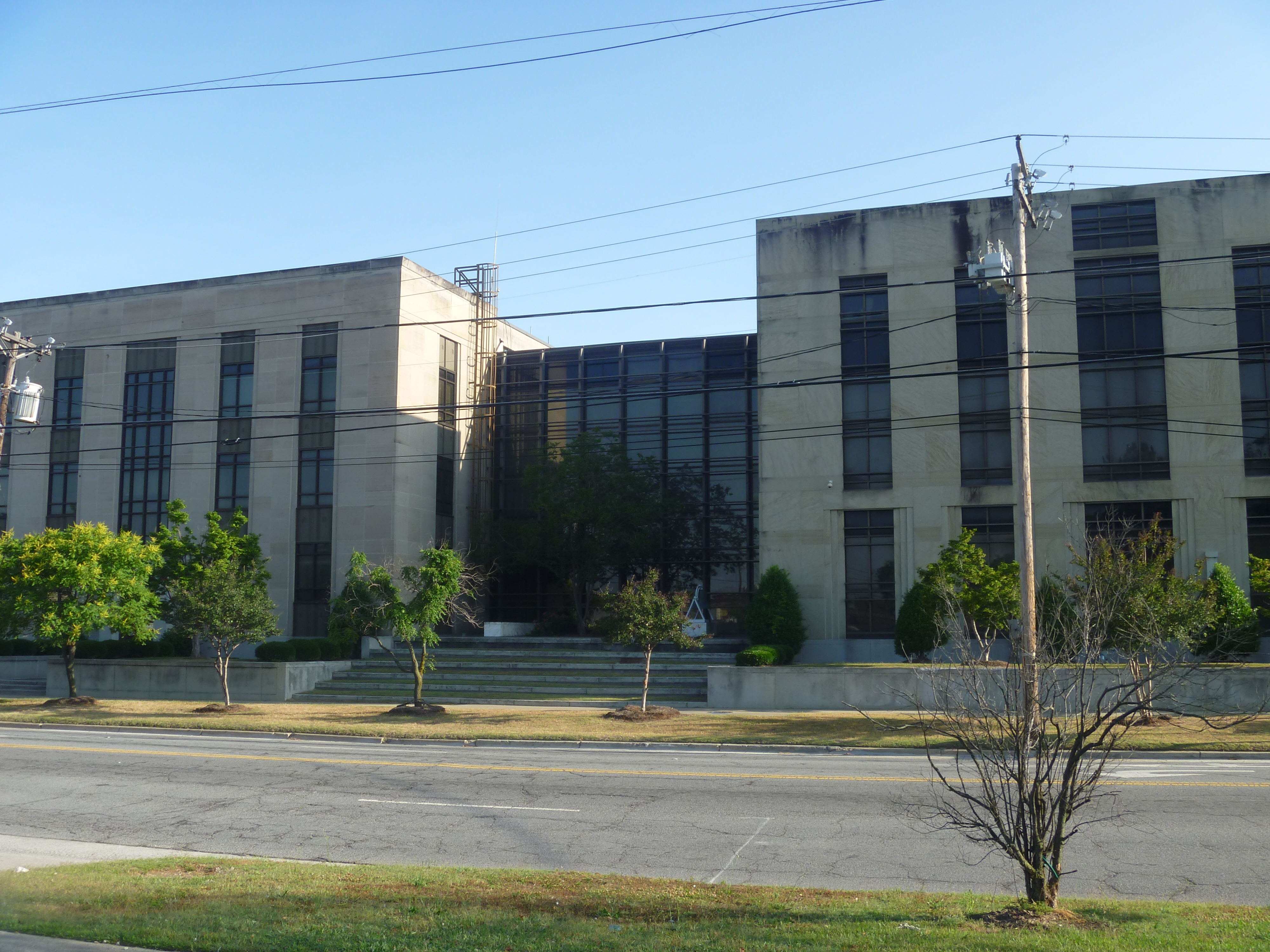
Side View, Lenoir County Courthouse

view with heron in flight
"Son, that's where yer shirt comes from, not from the department store." Said Matt in his old man voice.
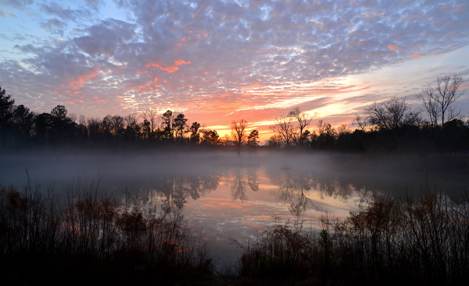
Foggy Sunset (1-11-13) | Kinston, NC
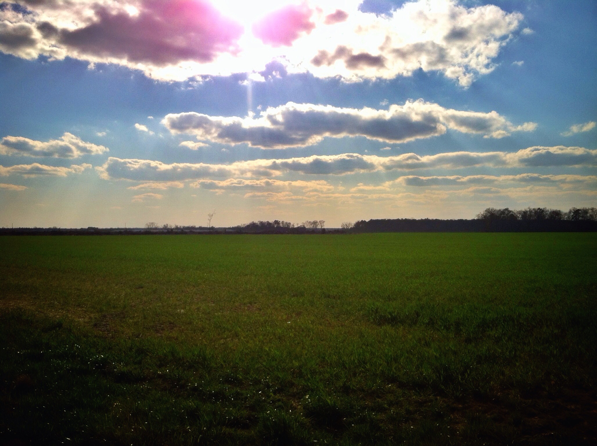
78/365/2013 Big Sky Country

red-tailed hawk
Topographic Map of Hookerton, NC, USA
Find elevation by address:

Places in Hookerton, NC, USA:
Places near Hookerton, NC, USA:
Glenfield Rd, Snow Hill, NC, USA
1300 Mike Stocks Rd
1399 Mike Stocks Rd
Hookerton
Dawson Station Rd, Kinston, NC, USA
24 Ormondsville Rd, Hookerton, NC, USA
Neuse River
Vance
3800 North Carolina Hwy 58
115 W Greene St
102 Nw 2nd St
Snow Hill
W Harper St, Snow Hill, NC, USA
4675 Ben Dail Rd
Greene Central High School
Snow Hill
Ormonds
Hugo Rd, Grifton, NC, USA
Contentnea Neck
3373 Saw Mill Rd
Recent Searches:
- Elevation of Corso Fratelli Cairoli, 35, Macerata MC, Italy
- Elevation of Tallevast Rd, Sarasota, FL, USA
- Elevation of 4th St E, Sonoma, CA, USA
- Elevation of Black Hollow Rd, Pennsdale, PA, USA
- Elevation of Oakland Ave, Williamsport, PA, USA
- Elevation of Pedrógão Grande, Portugal
- Elevation of Klee Dr, Martinsburg, WV, USA
- Elevation of Via Roma, Pieranica CR, Italy
- Elevation of Tavkvetili Mountain, Georgia
- Elevation of Hartfords Bluff Cir, Mt Pleasant, SC, USA