Elevation of W Deer Path, Channahon, IL, USA
Location: United States > Illinois > Grundy County > Aux Sable Township > Channahon >
Longitude: -88.251189
Latitude: 41.41487
Elevation: 183m / 600feet
Barometric Pressure: 99KPa
Elevation Map:
Satellite Map:
Related Photos:
A first!
2011-12-23 07.54.32
2011-09-11 15.23.32
Distant Rain
The Grove East View
Downtown Rockdale

Never get tired of this view
View from the back
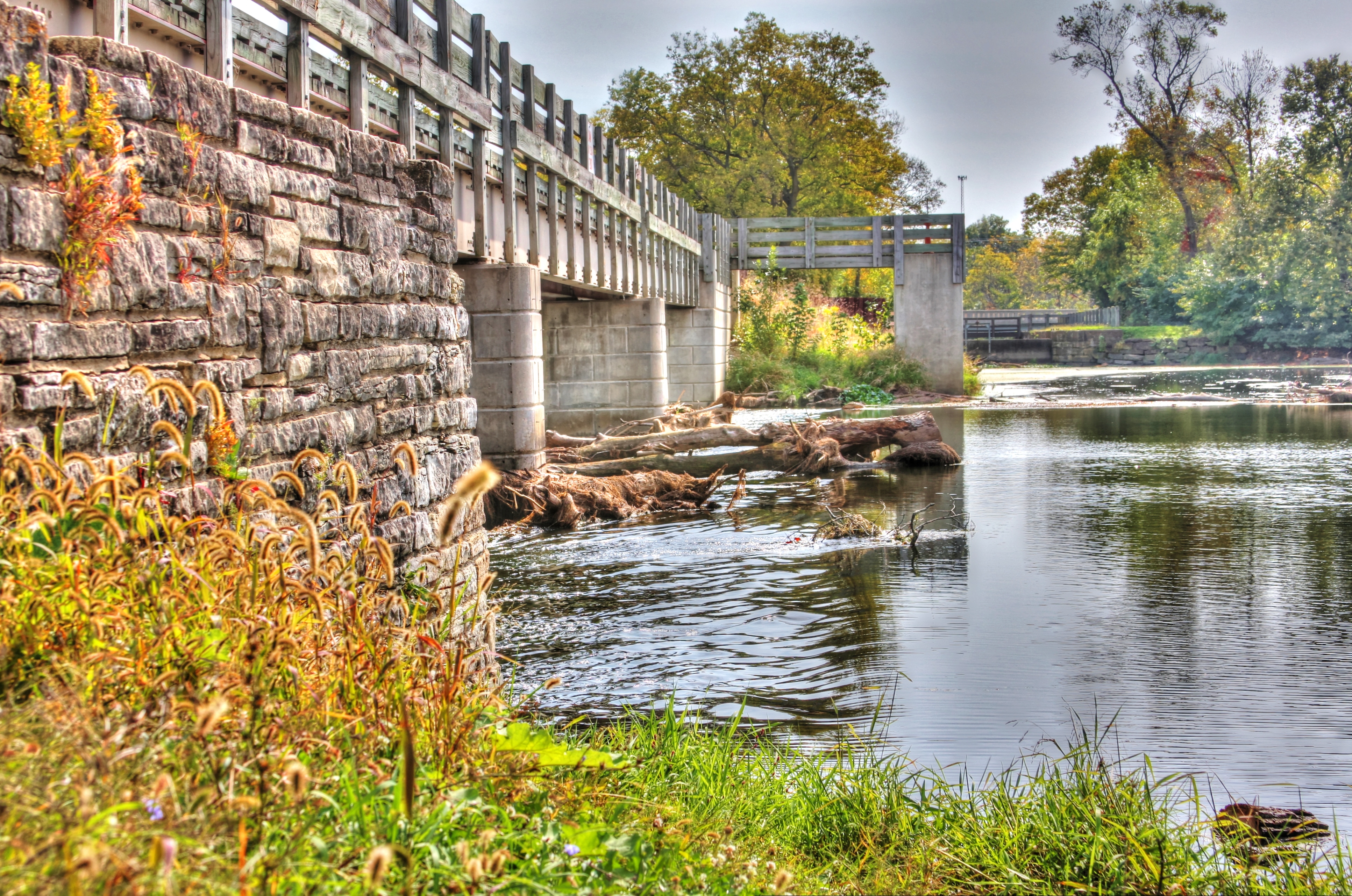
Bridge Redux

2011-09-10 18.13.48
2011-09-10 18.09.39
View thru one side of binoculars
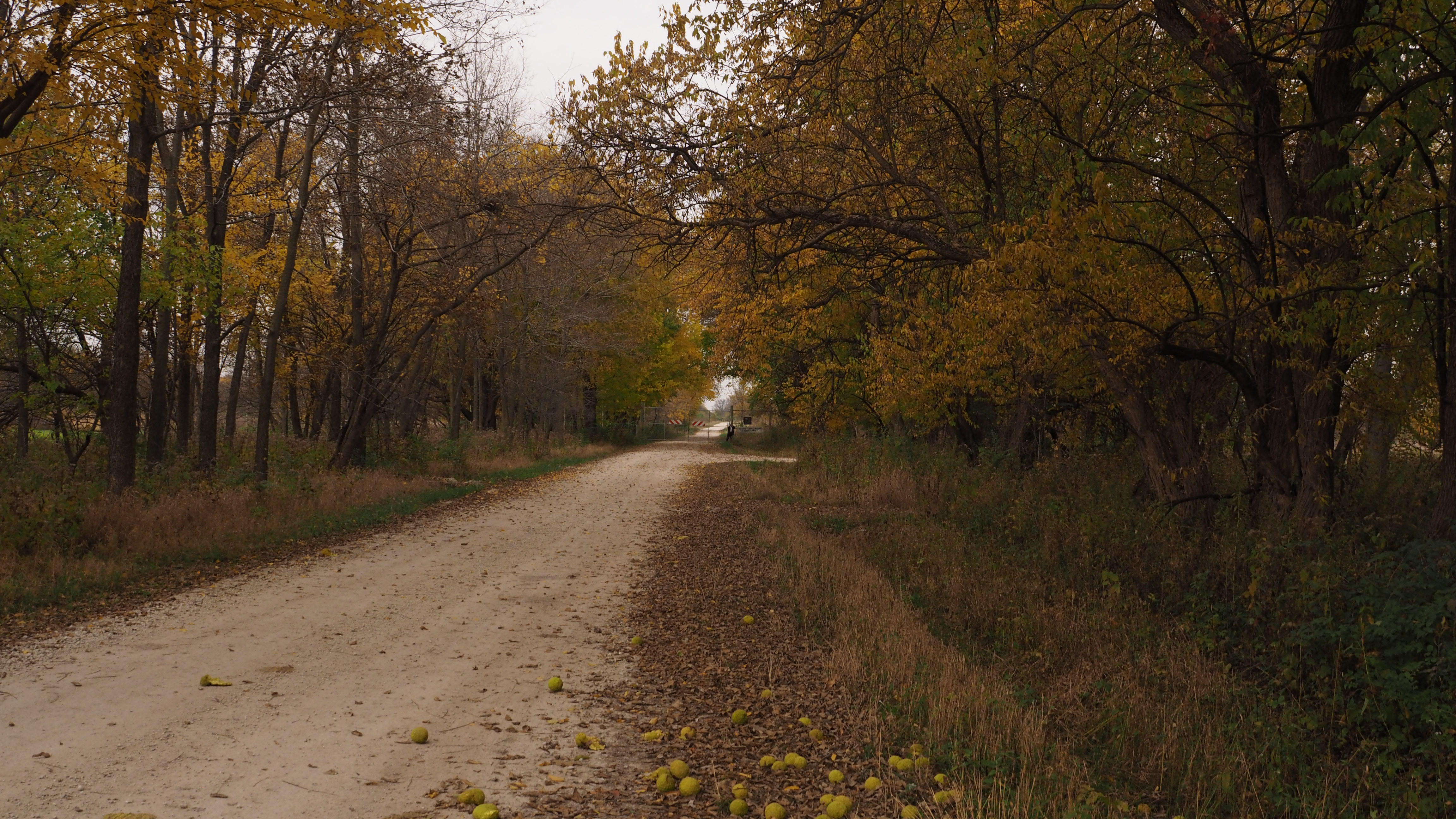
Same Trail
A room w/out a view!
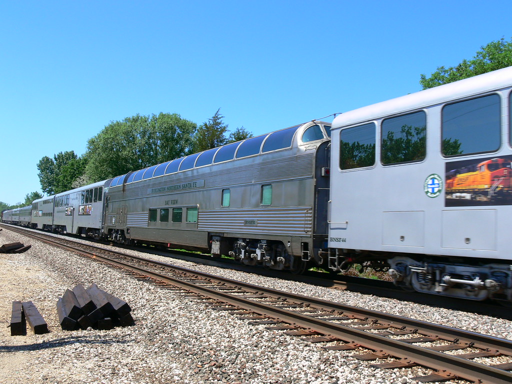
Bay View

2011-03-26 06.13.25

Bird's eye view

2011-03-26 06.20.19
2011-03-26 06.15.13
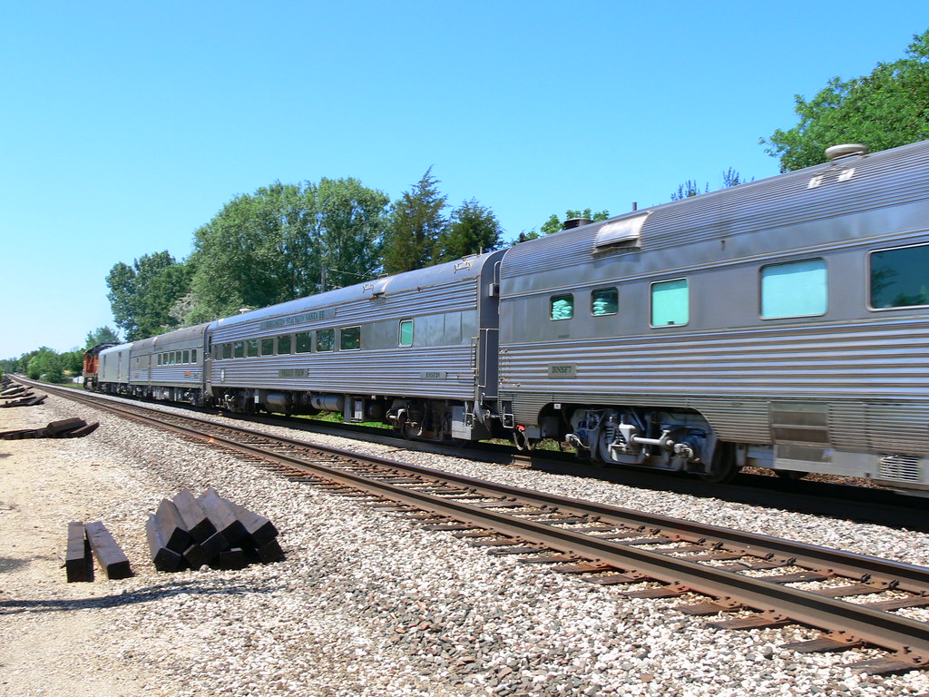
Valley View and Santa Fe

Out in the Middle of Stinkin' Nowhere

Blue on Blue

SCH-I545-2013_07_29 15_30_09_

Spring Shifting (edit 3)

The Green Mile
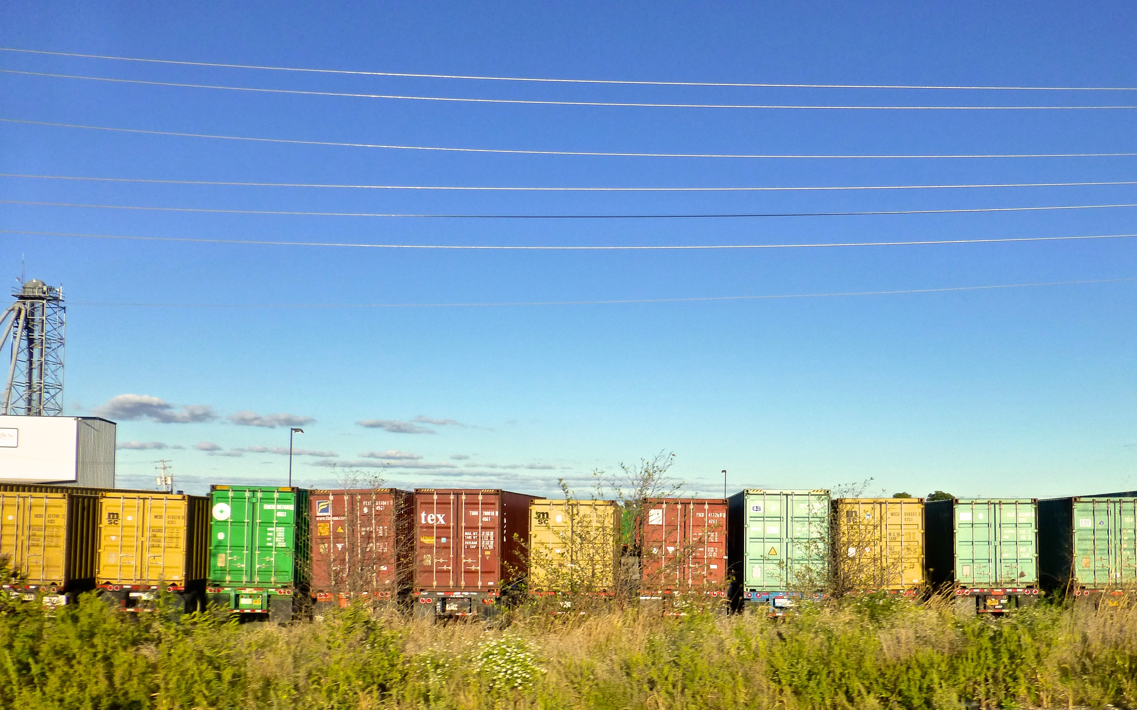
Joliet, 2013

SCH-I545-2013_07_29 15_29_20_

#igerschicago #igdaily #water #river #illinois #waterlily #hefe #iphone #nature_forum_

Joliet, 2013

Spring Shift (edit 2)

SCH-I545-2013_07_29 15_30_13_

Prelude to a Dream
DuPage Dam Channahon

I went to the Woods

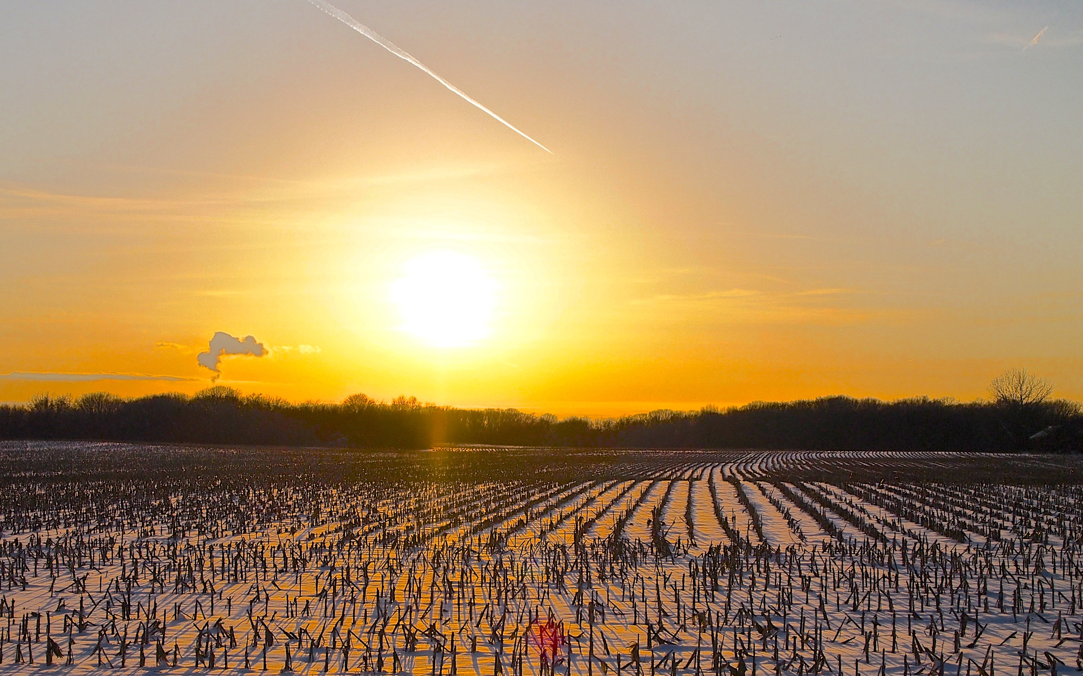
Sunrise Before the Storm
20141023-fBlodgettTrLkNorth

Sunset orb
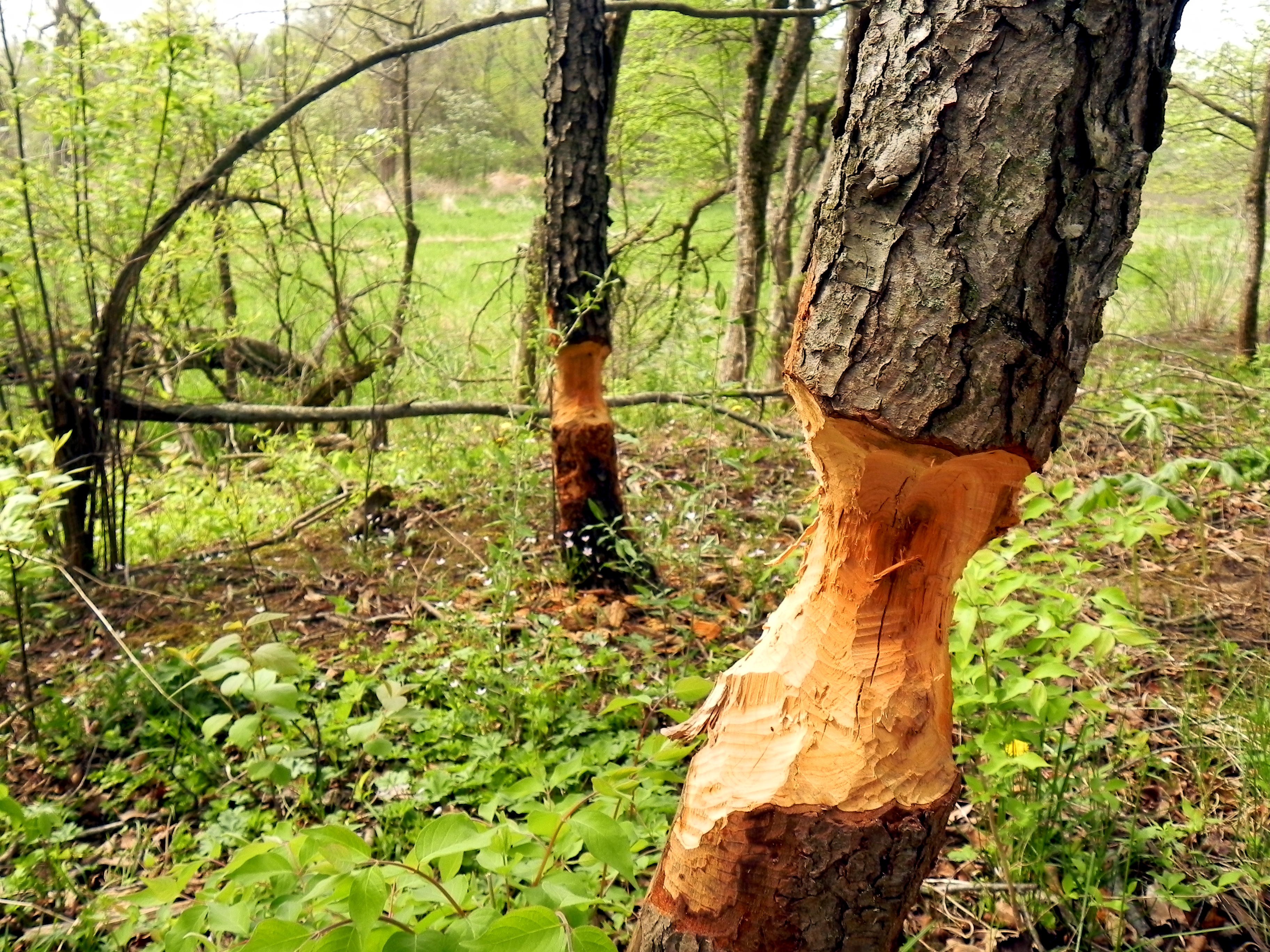
Damned Beavers
Joliet, 2013

SCH-I545-2013_07_29 15_29_30_
Topographic Map of W Deer Path, Channahon, IL, USA
Find elevation by address:

Places near W Deer Path, Channahon, IL, USA:
Des Plaines River
Minooka
E Collins Rd, Morris, IL, USA
Tabler Rd, Morris, IL, USA
Aux Sable
Cemetery Rd, Morris, IL, USA
Goose Lake Township
Aux Sable Township
3735 Shady Oaks Rd
2370 N Lincoln Lake Dr
Felix Township
2390 Wahoo Dr
3090 Holderman Rd
Alicia Dr, Morris, IL, USA
E North St, Morris, IL, USA
3980 Darin Rd
Morris Township
Grundy County
Tracy Dr, Morris, IL, USA
Saratoga Township
Recent Searches:
- Elevation of Leguwa, Nepal
- Elevation of County Rd, Enterprise, AL, USA
- Elevation of Kolchuginsky District, Vladimir Oblast, Russia
- Elevation of Shustino, Vladimir Oblast, Russia
- Elevation of Lampiasi St, Sarasota, FL, USA
- Elevation of Elwyn Dr, Roanoke Rapids, NC, USA
- Elevation of Congressional Dr, Stevensville, MD, USA
- Elevation of Bellview Rd, McLean, VA, USA
- Elevation of Stage Island Rd, Chatham, MA, USA
- Elevation of Shibuya Scramble Crossing, 21 Udagawacho, Shibuya City, Tokyo -, Japan