Elevation of Channahon, IL, USA
Location: United States > Illinois > Grundy County > Aux Sable Township >
Longitude: -88.228673
Latitude: 41.4294753
Elevation: 162m / 531feet
Barometric Pressure: 99KPa
Elevation Map:
Satellite Map:
Related Photos:
A first!

Never get tired of this view

Hiram B. Scutt Mansion
View from the back
2011-12-23 07.54.32
Bridge Redux

2011-09-11 15.23.32

2011-09-10 18.13.48
2011-09-10 18.09.39

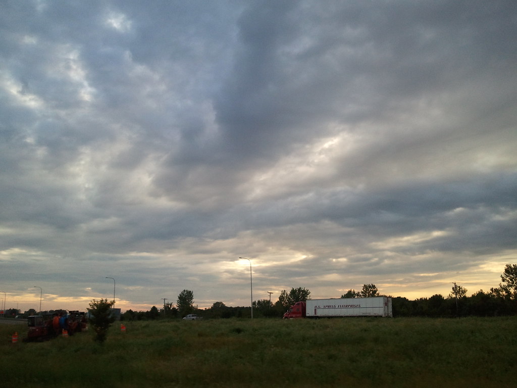
Distant Rain
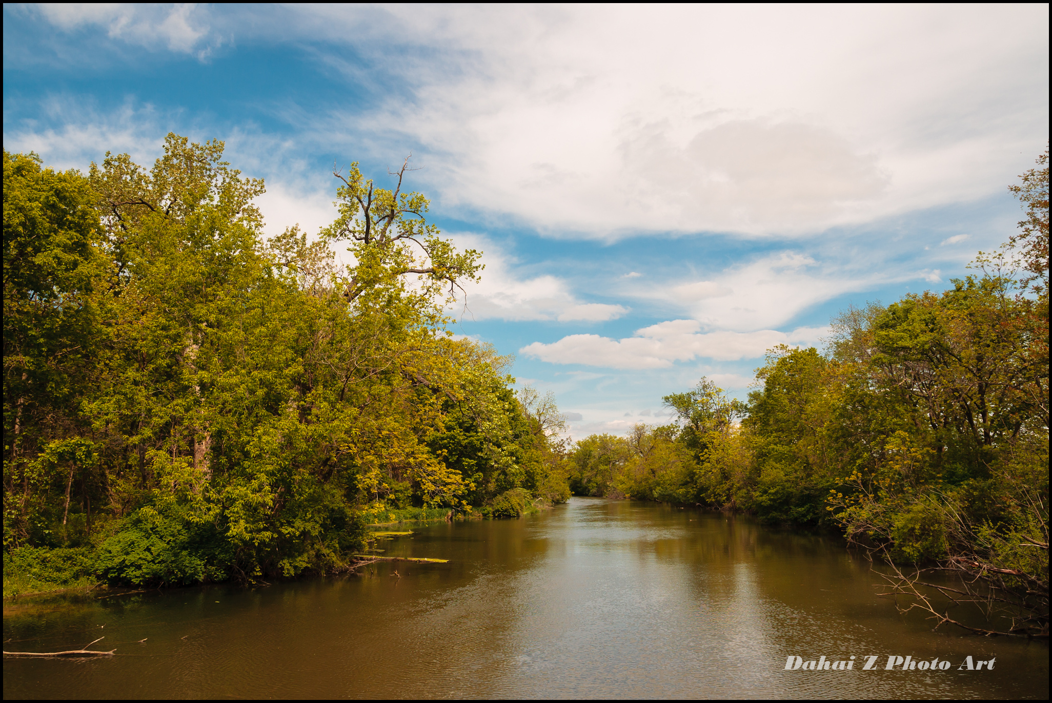
The Grove East View
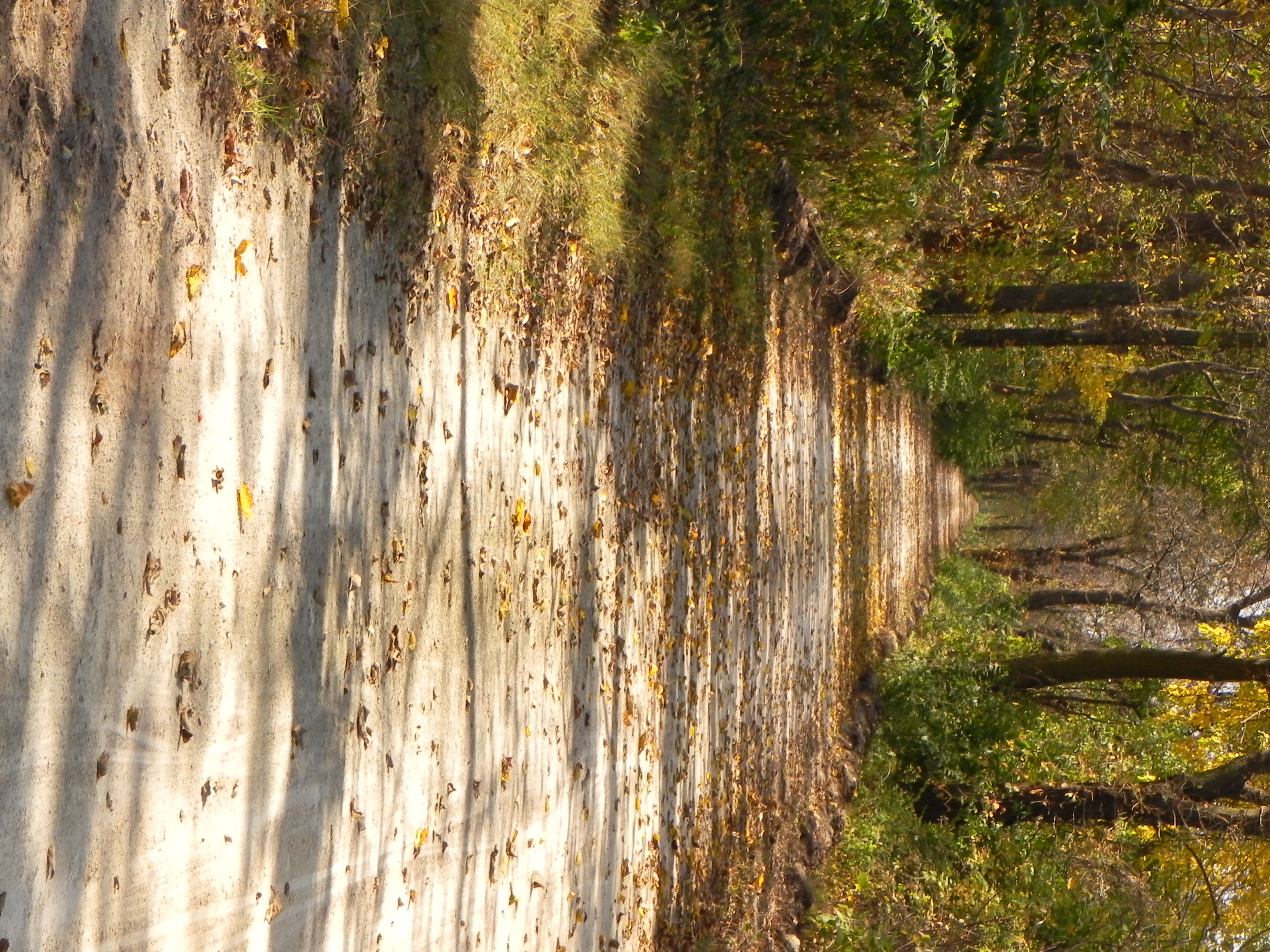
Same Trail
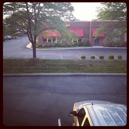
A room w/out a view!
Downtown Rockdale
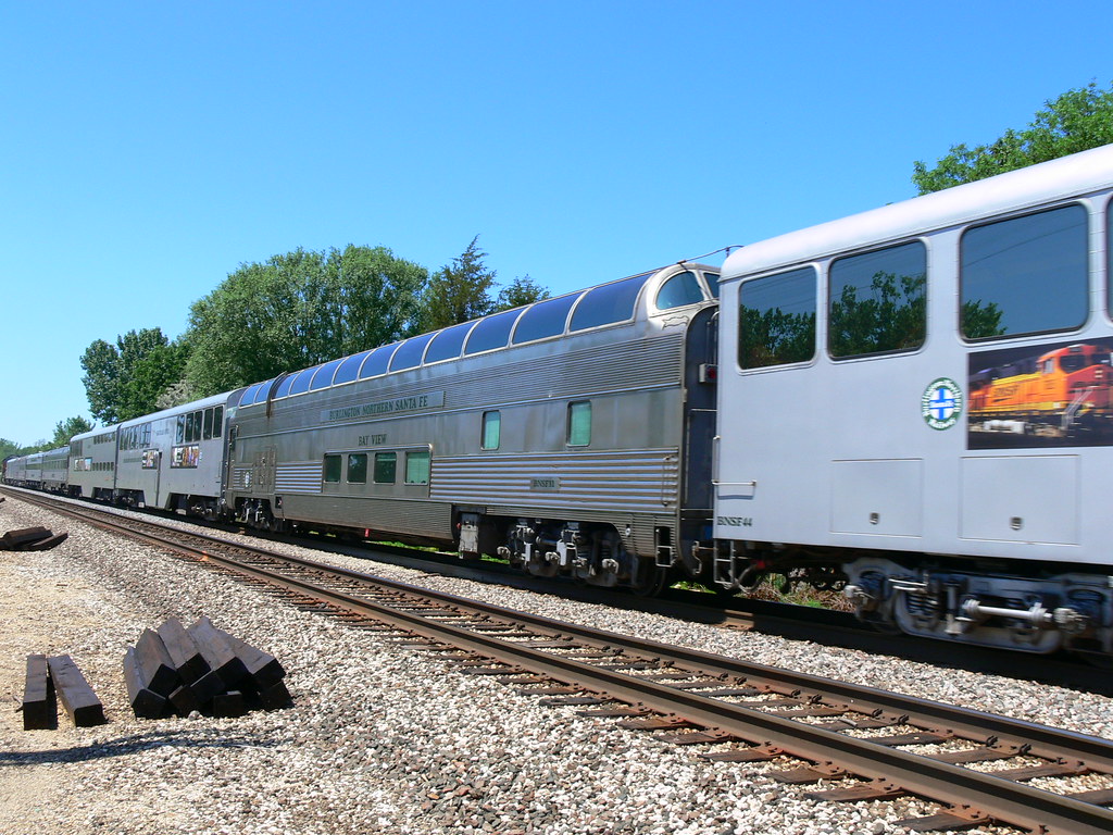
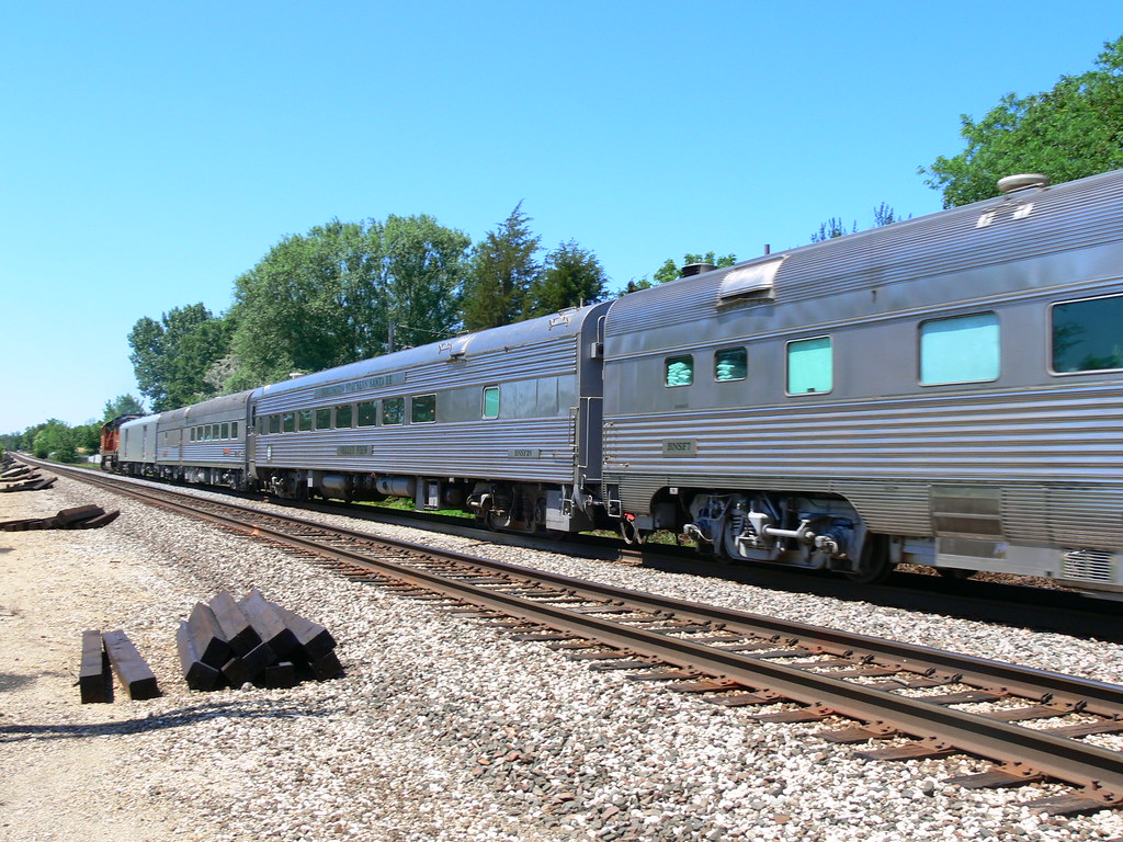
Bay View

2011-03-26 06.13.25

Bird's eye view

2011-03-26 06.20.19
2011-03-26 06.15.13
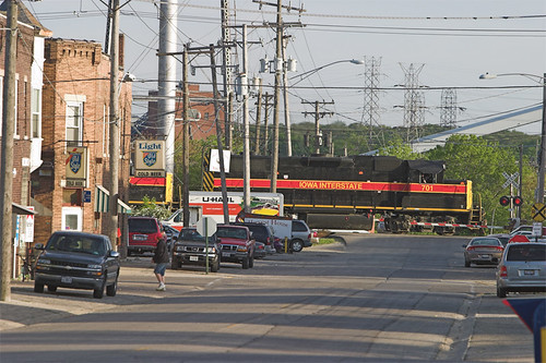
Valley View and Santa Fe

Out in the Middle of Stinkin' Nowhere

Prelude to a Dream

DuPage Dam Channahon
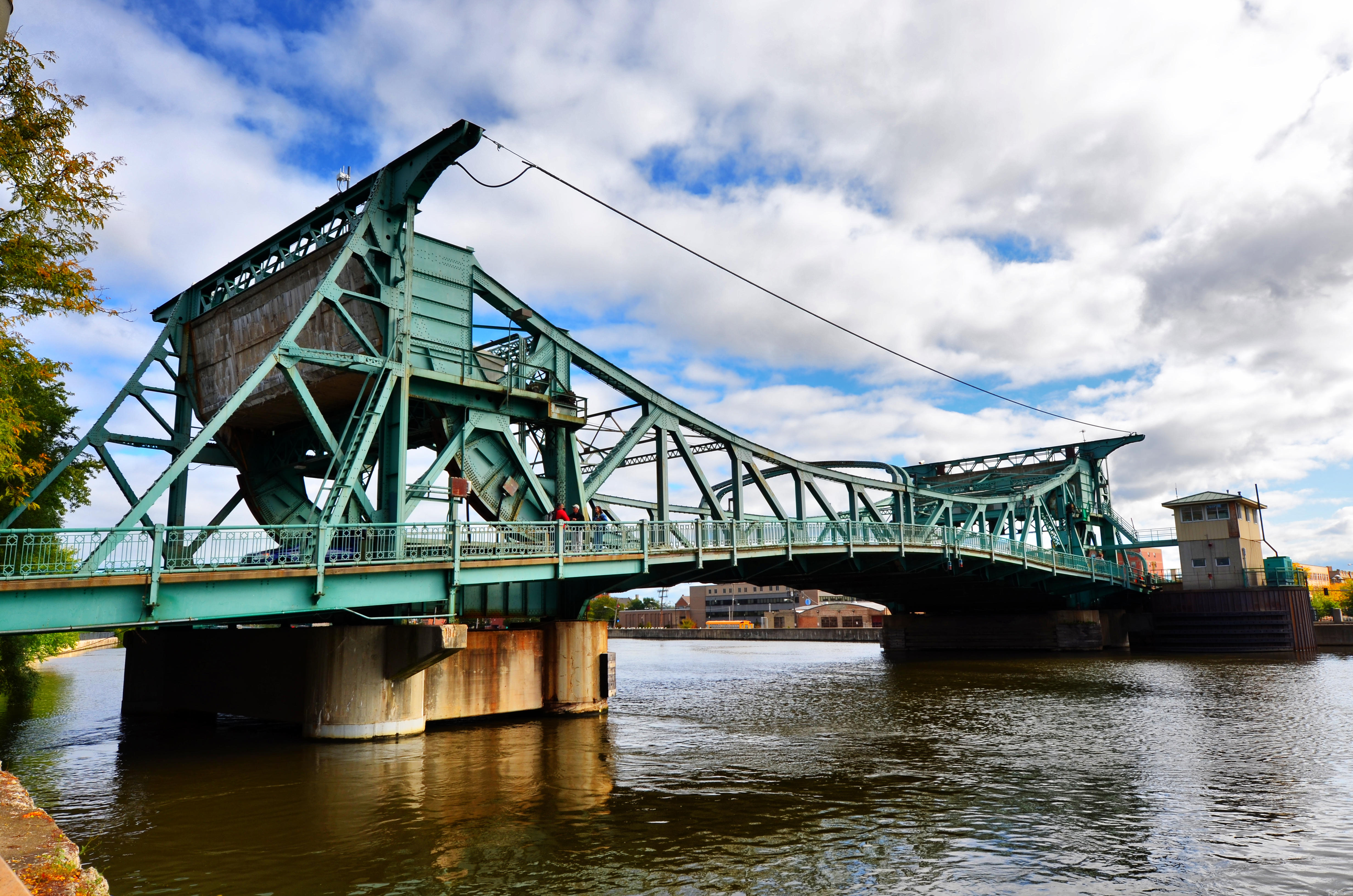
Cass Street Bridge, Joliet, IL

SCH-I545-2013_07_29 15_30_09_

I went to the Woods

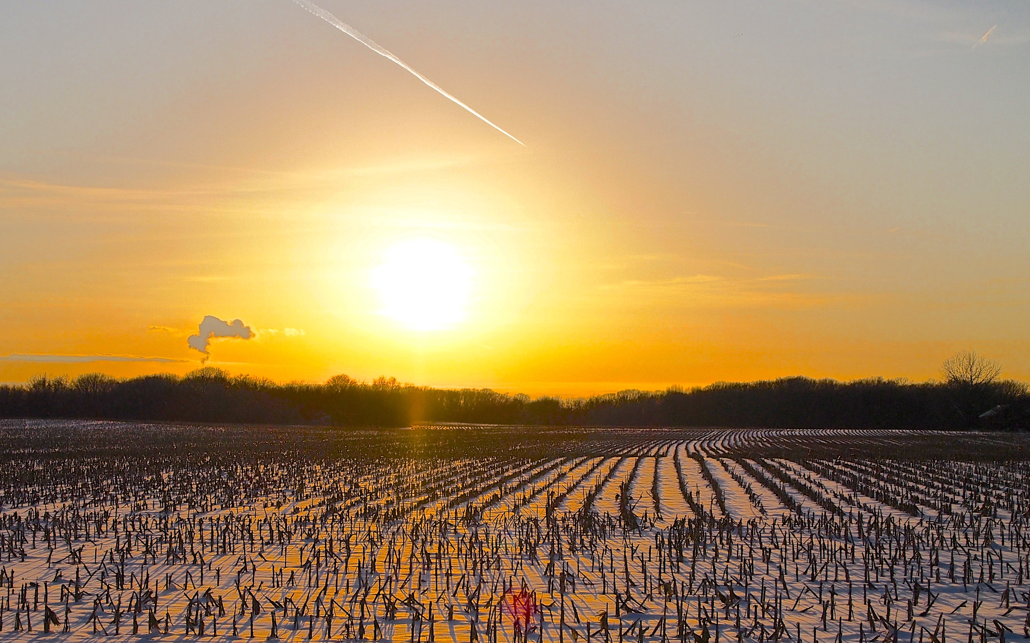
Sunrise Before the Storm

Spring Shifting (edit 3)

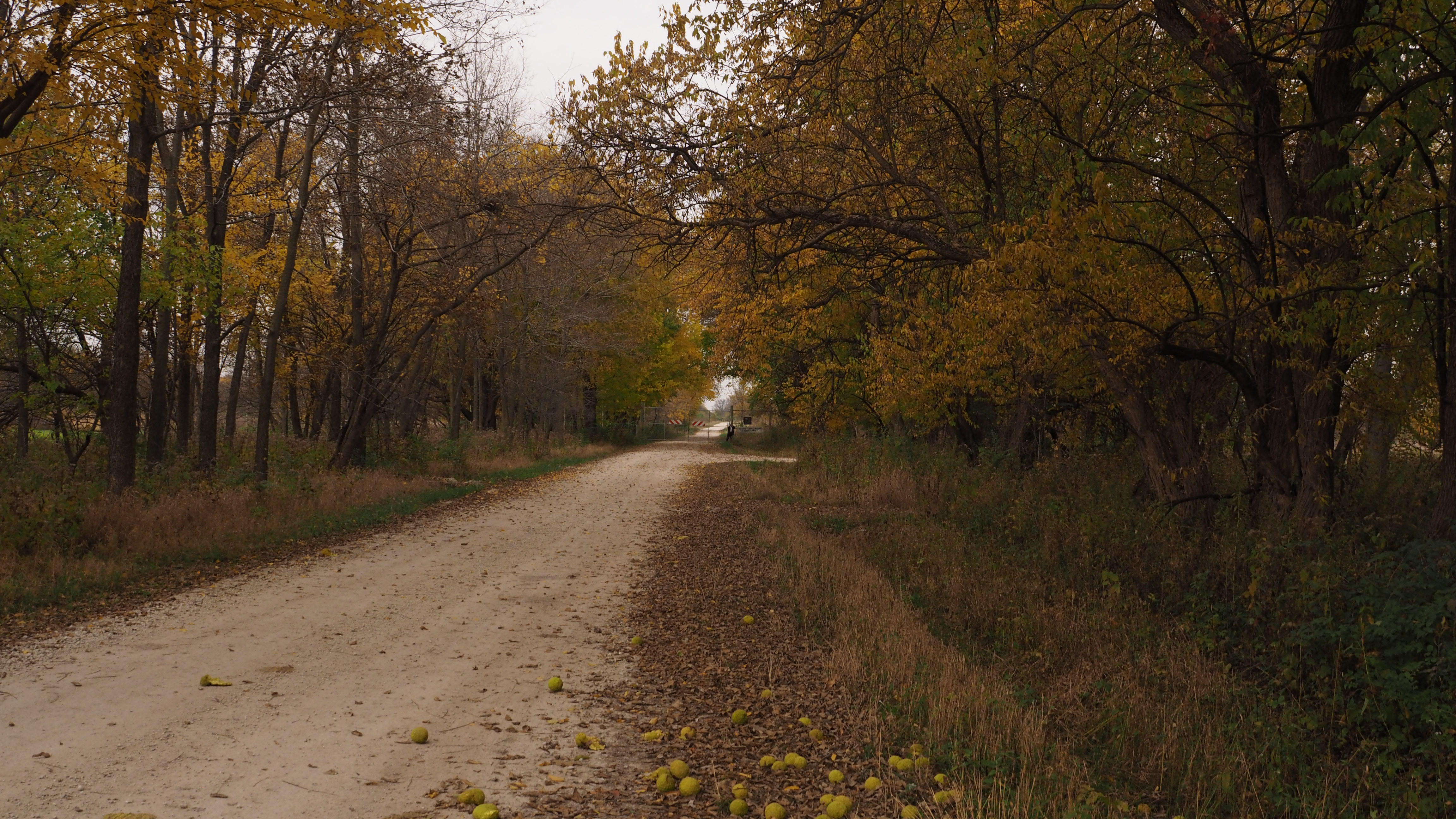
The Green Mile
Joliet, 2013

SCH-I545-2013_07_29 15_29_20_

Joliet, IL from the Bluff
20141023-fBlodgettTrLkNorth

Sunset orb

Joliet, 2013

Spring Shift (edit 2)

SCH-I545-2013_07_29 15_30_13_
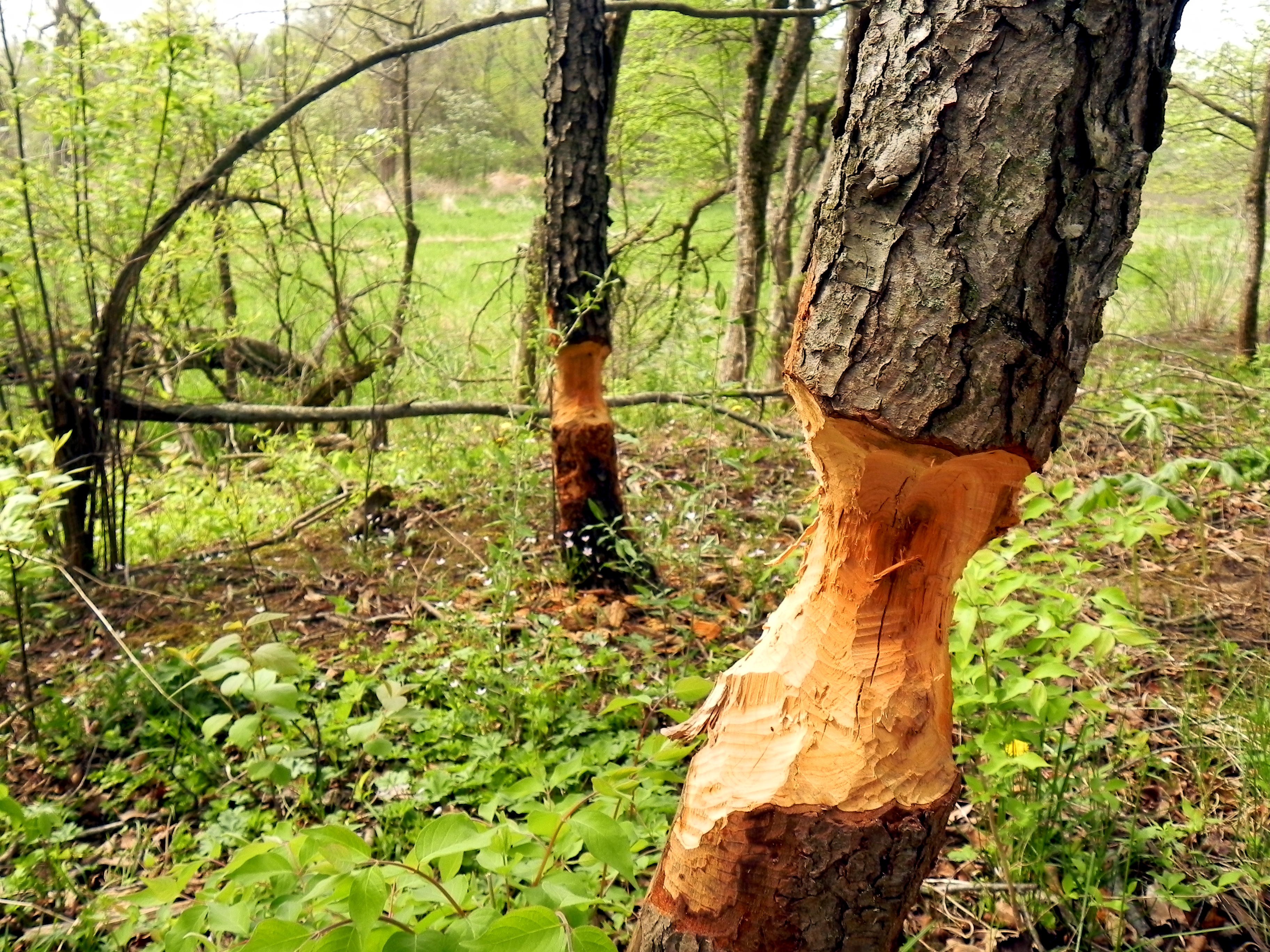
Damned Beavers
Joliet, 2013

SCH-I545-2013_07_29 15_29_30_

Last Light over Prairie Creek
Topographic Map of Channahon, IL, USA
Find elevation by address:

Places in Channahon, IL, USA:
Places near Channahon, IL, USA:
Bunge Loders Croklaan
Channahon Township
23031 S Thomas Dillon Dr
S Deal Ave, Channahon, IL, USA
Lorenzo Rd, Wilmington, IL, USA
Wilmington Township
S Chicago St, Elwood, IL, USA
Elwood
20142 Pockey Way
24841 S Sycamore St
2307 S Brandon Rd
Jackson Township
1479 Echo Dr
Manhattan
2850 Horizon Trail
Manhattan, IL, USA
S Cedar Rd, Manhattan, IL, USA
Wilton Township
Wilton Rd, Manhattan, IL, USA
Wilton
Recent Searches:
- Elevation of Tater Hill, Oklahoma, USA
- Elevation of NY-, Friendship, NY, USA
- Elevation of 64 Danakas Dr, Winnipeg, MB R2C 5N7, Canada
- Elevation of 4 Vale Rd, Sheffield S3 9QX, UK
- Elevation of Keene Point Drive, Keene Point Dr, Grant, AL, USA
- Elevation of State St, Zanesville, OH, USA
- Elevation of Austin Stone Dr, Haslet, TX, USA
- Elevation of Bydgoszcz, Poland
- Elevation of Bydgoszcz, Poland
- Elevation of Calais Dr, Del Mar, CA, USA