Elevation of Vow Ln, Hilliard, FL, USA
Location: United States > Florida > Nassau County > Hilliard >
Longitude: -81.832664
Latitude: 30.785621
Elevation: 5m / 16feet
Barometric Pressure: 101KPa
Elevation Map:
Satellite Map:
Related Photos:

DON'T FORGET THE SOUVENIRS
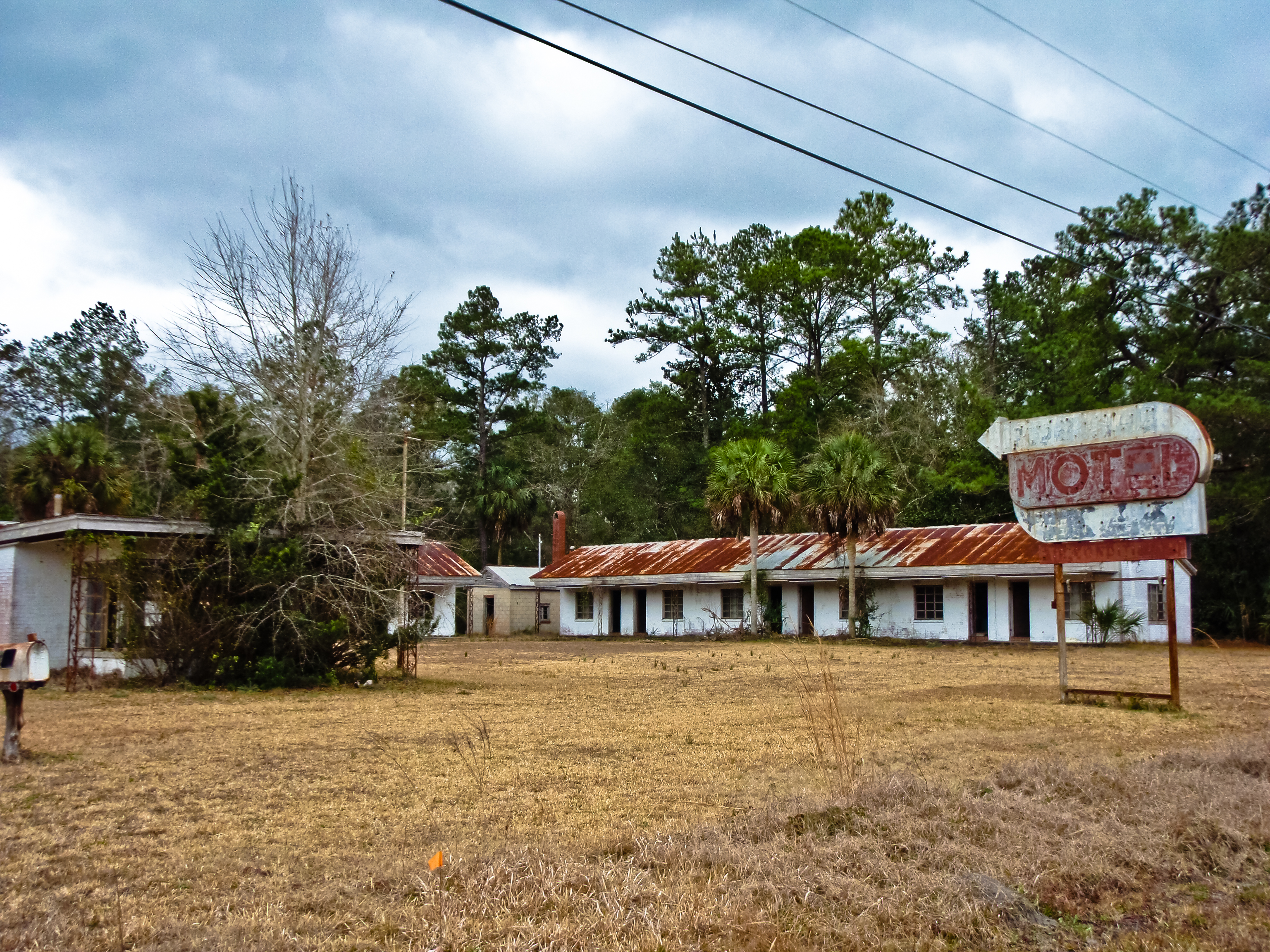
BORDER MOTEL

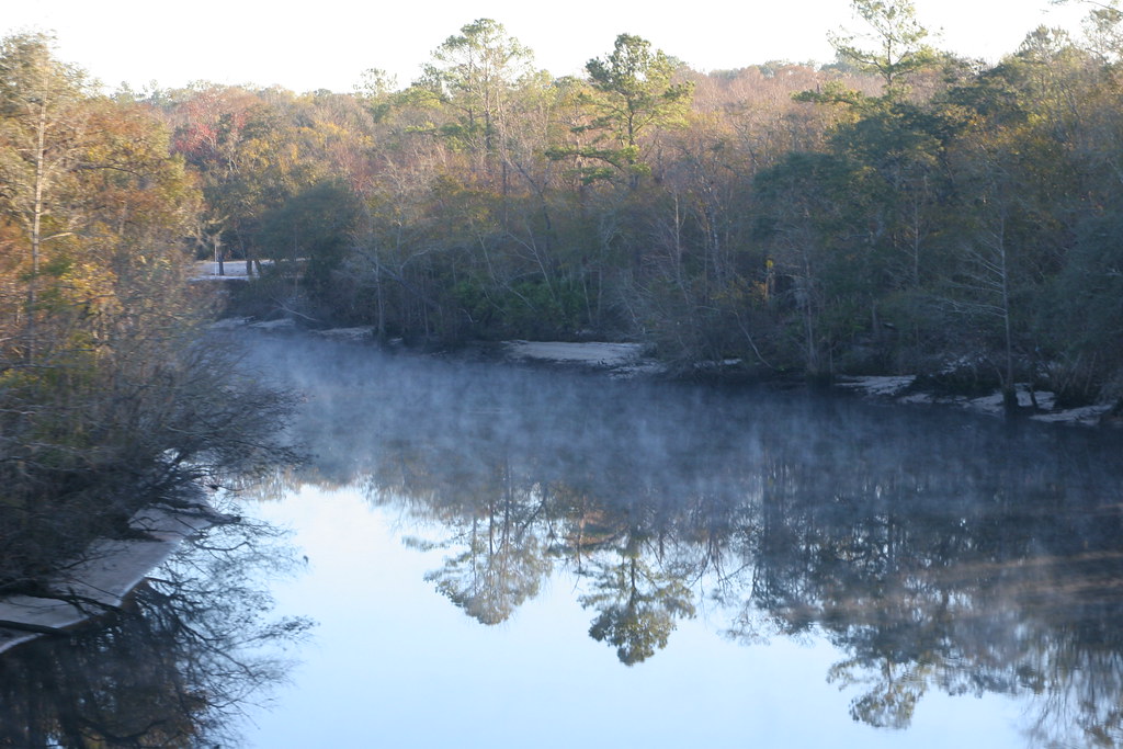
Foggy morning on the St Marys River

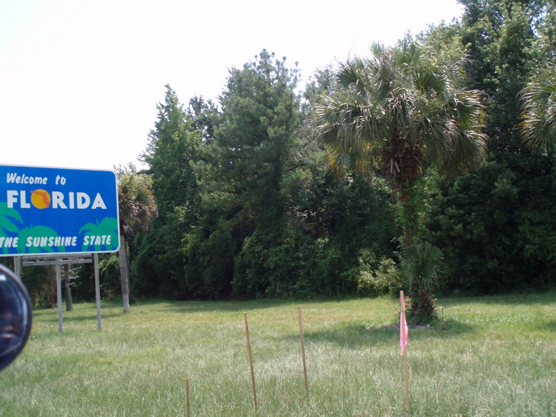
Entering Florida

Entering Florida
Our 4th state in as many days

St Marys River

Steel Truss Bridge (IR)

Hunt Club
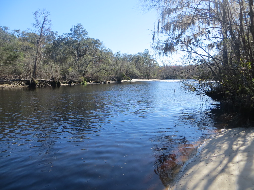
middle St. Mary's River
St Mary's River 2 Charlton Co GA
Topographic Map of Vow Ln, Hilliard, FL, USA
Find elevation by address:

Places near Vow Ln, Hilliard, FL, USA:
49157 River Bluff Rd
Middle Rd, Hilliard, FL, USA
1971 Lessie Rd
Henderson Road
4931 Clarks Bluff Rd
GA-, Folkston, GA, USA
427 Wainwright Rd
Bullhead Bluff Rd, Folkston, GA, USA
439 Ridge Rd
80 Berry St
74 Kayla St
Josephs Way
201 Woodbridge Rd
102 Pin Oak Ct
116 Crestwood Ct
100 Woodbridge Rd
Hazelhurst Rd, White Oak, GA, USA
104 Sheffield St
100 Woodhaven Dr
Sheffield Cemetery
Recent Searches:
- Elevation of Woodland Oak Pl, Thousand Oaks, CA, USA
- Elevation of Brownsdale Rd, Renfrew, PA, USA
- Elevation of Corcoran Ln, Suffolk, VA, USA
- Elevation of Mamala II, Sariaya, Quezon, Philippines
- Elevation of Sarangdanda, Nepal
- Elevation of 7 Waterfall Way, Tomball, TX, USA
- Elevation of SW 57th Ave, Portland, OR, USA
- Elevation of Crocker Dr, Vacaville, CA, USA
- Elevation of Pu Ngaol Community Meeting Hall, HWHM+3X7, Krong Saen Monourom, Cambodia
- Elevation of Royal Ontario Museum, Queens Park, Toronto, ON M5S 2C6, Canada