Elevation of Pin Oak Ct, Kingsland, GA, USA
Location: United States > Georgia > Camden County > Kingsland >
Longitude: -81.711572
Latitude: 30.81378
Elevation: 9m / 30feet
Barometric Pressure: 101KPa
Elevation Map:
Satellite Map:
Related Photos:

SWFLANT_Glow_IMG_8912 View full screen.

Two Generations Of Steel

Fox Sparrow (Red)

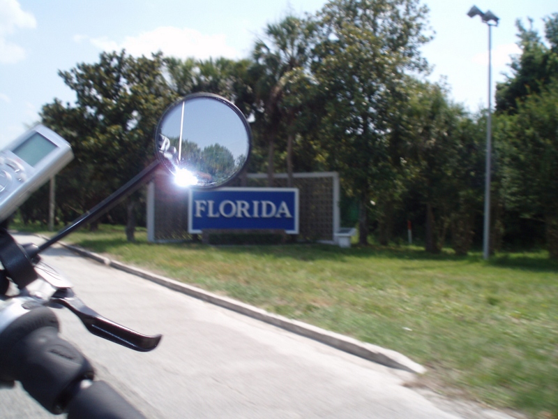
Crossing Into Florida II

Augusts Showers

Spectrums From The West

DON'T FORGET THE SOUVENIRS
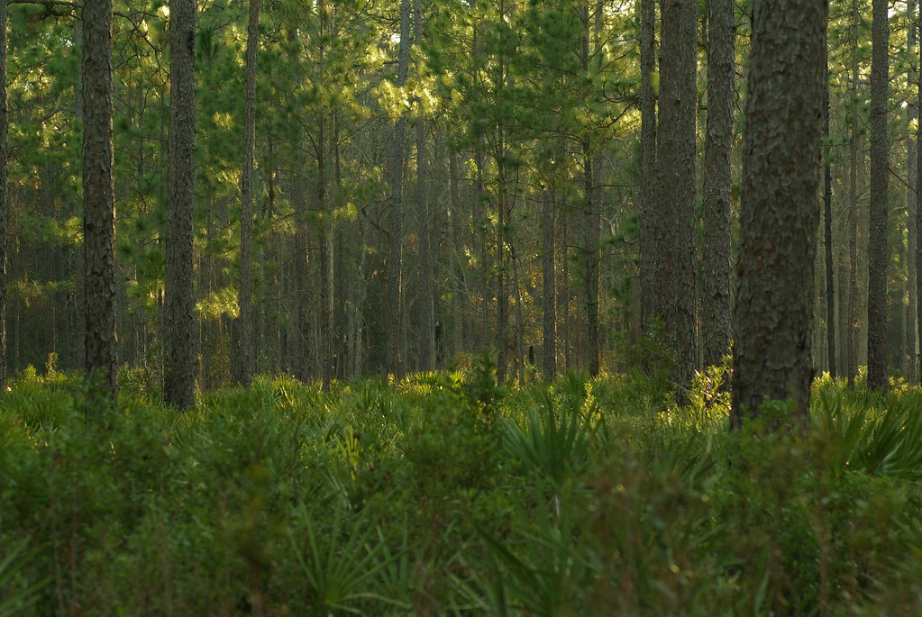
Deeper than Any Forest Primeval...
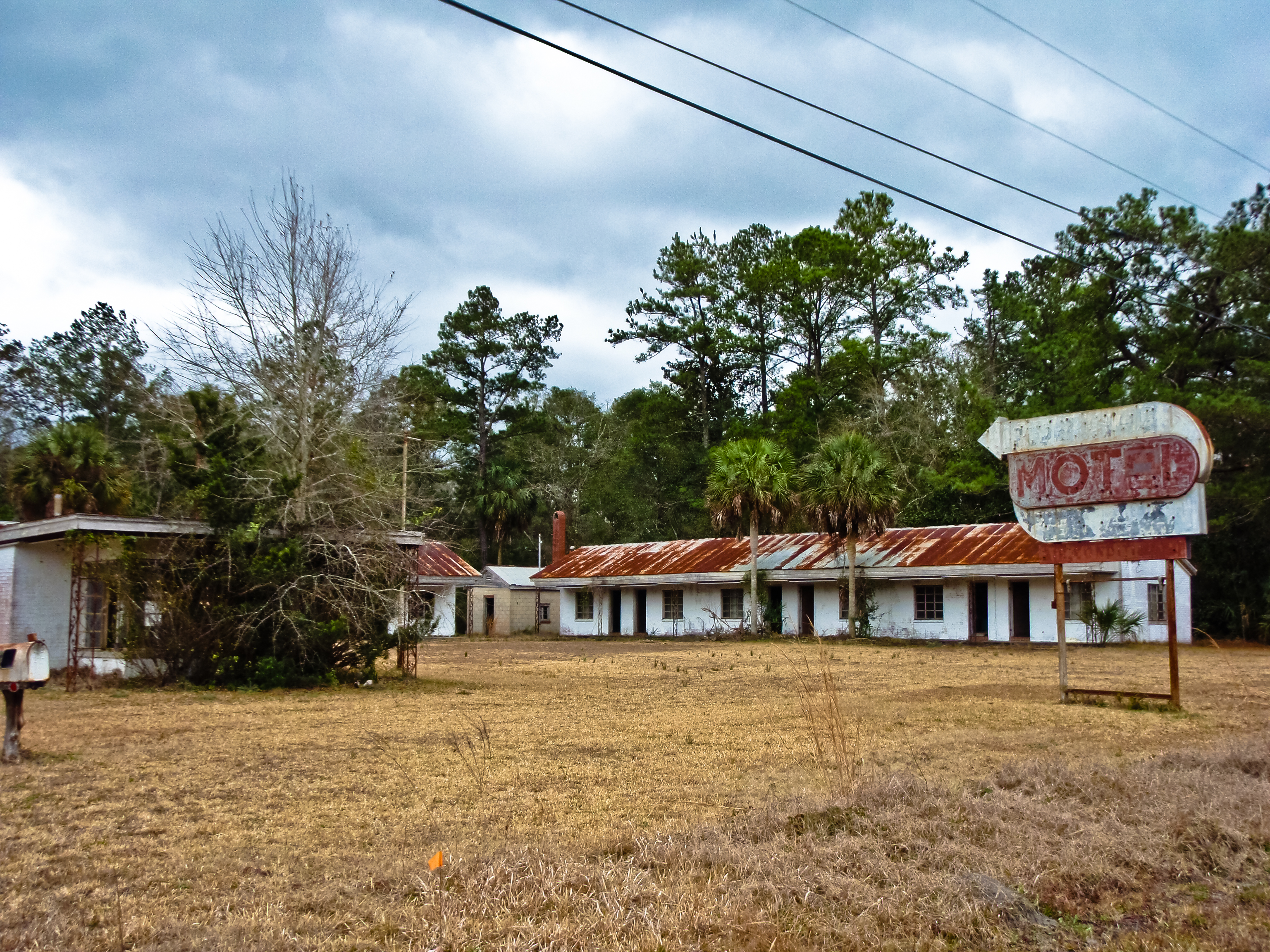
BORDER MOTEL
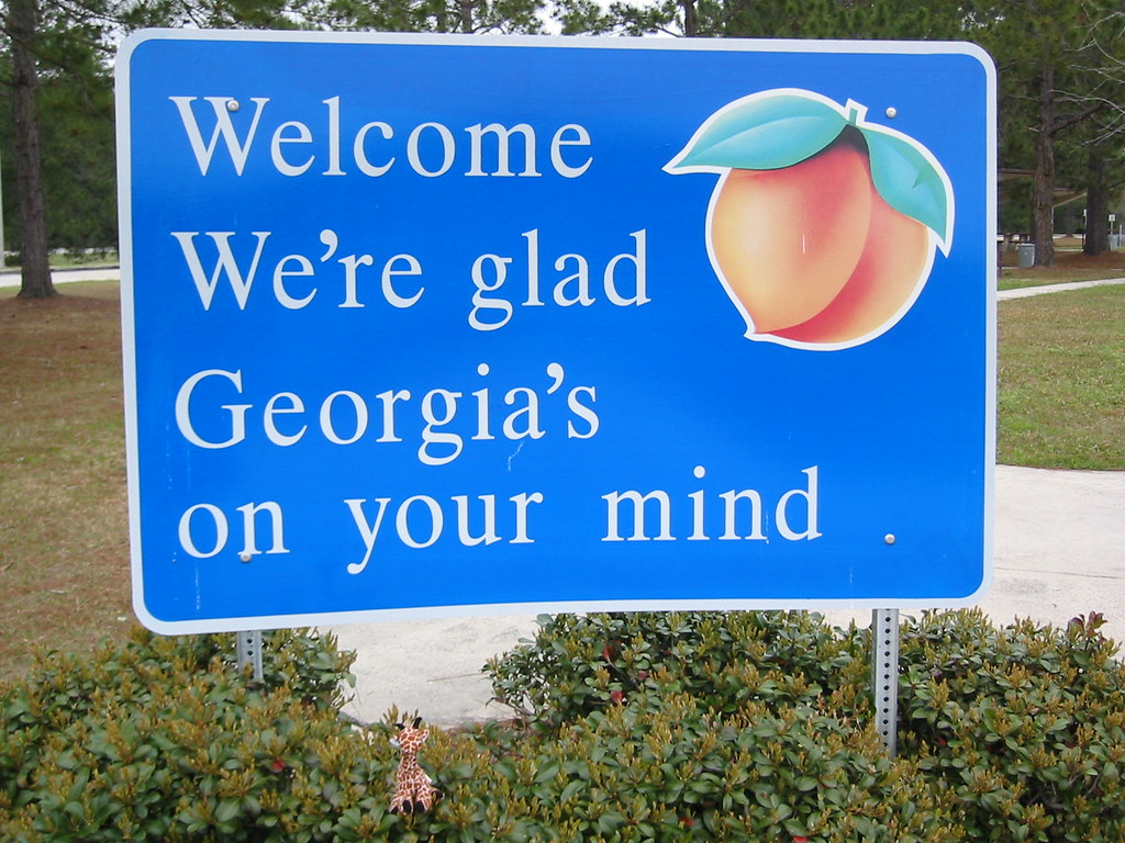
We're Glad Georgia's On Your Mind

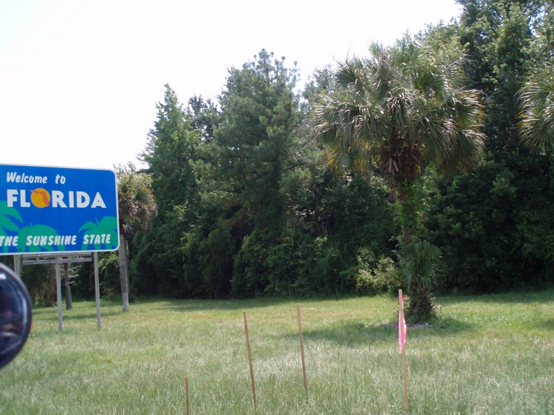
Entering Florida
Time for hydration--again!
Our 4th state in as many days
Our last state--now to bike the length of FL--Tropical storm on the way...

Fox Sparrow (Red)

St. Marys, Georgia

Entering Florida

Last northbound run across the Marshes

Reflection IMG_0903_HDR

A Good Sunday

Morning Calm_IMG_7410

Lines IMG_0994

Forest Path

Sunrise on the River_IMG_0173

Like a Dream
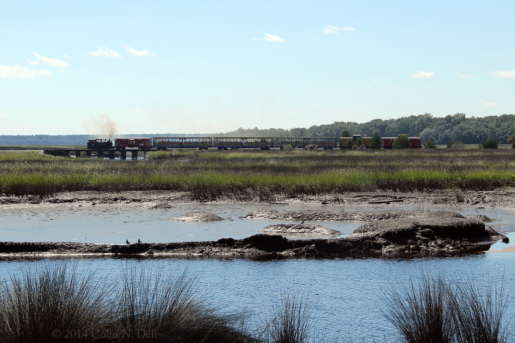
St Mary's Steam Express

Wide open road

St. Marys River

Sunset at the Florida state line! #miamibound #roadtrip

St Marys River

Crooked River State Park 16

Crooked River Before Sunrise_IMG_8562

Calm Morning IMG_8588

Steel Truss Bridge (IR)

On the River_IMG_20150502_2745

River from the Dock_IMG_8701

Crooked River State Park 14
Topographic Map of Pin Oak Ct, Kingsland, GA, USA
Find elevation by address:

Places near Pin Oak Ct, Kingsland, GA, USA:
201 Woodbridge Rd
Sheffield Cemetery
64 Josephs Ct
116 Crestwood Ct
100 Woodbridge Rd
100 Woodhaven Dr
104 Sheffield St
80 Berry St
Kingsland
207 Creekwood Dr
Josephs Way
197 W Maple Ave
236 Pine St
236 Pine St
236 Pine St
104 Old Still Rd W
7525 Ocean Hwy
7525 Ocean Hwy
74 Kayla St
S Grove Blvd, Kingsland, GA, USA
Recent Searches:
- Elevation of Tenjo, Cundinamarca, Colombia
- Elevation of Côte-des-Neiges, Montreal, QC H4A 3J6, Canada
- Elevation of Bobcat Dr, Helena, MT, USA
- Elevation of Zu den Ihlowbergen, Althüttendorf, Germany
- Elevation of Badaber, Peshawar, Khyber Pakhtunkhwa, Pakistan
- Elevation of SE Heron Loop, Lincoln City, OR, USA
- Elevation of Slanický ostrov, 01 Námestovo, Slovakia
- Elevation of Spaceport America, Co Rd A, Truth or Consequences, NM, USA
- Elevation of Warwick, RI, USA
- Elevation of Fern Rd, Whitmore, CA, USA