Elevation of Voelkle Road, Voelkle Rd, Newport, NY, USA
Location: United States > New York > Herkimer County > Newport >
Longitude: -74.987663
Latitude: 43.1268863
Elevation: 260m / 853feet
Barometric Pressure: 98KPa
Elevation Map:
Satellite Map:
Related Photos:
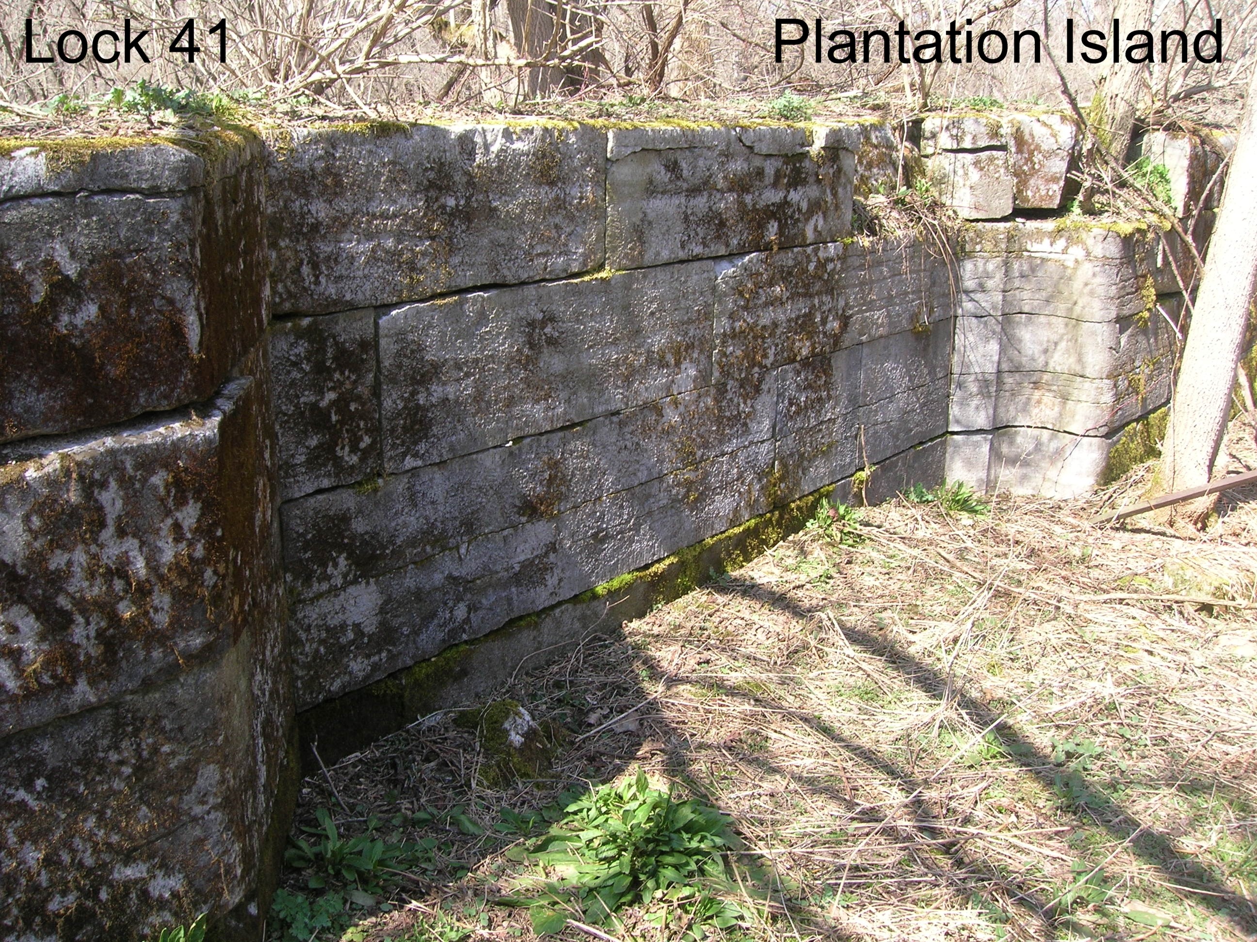
Lock 41 - Plantation Island
Lock 38 - Little Falls
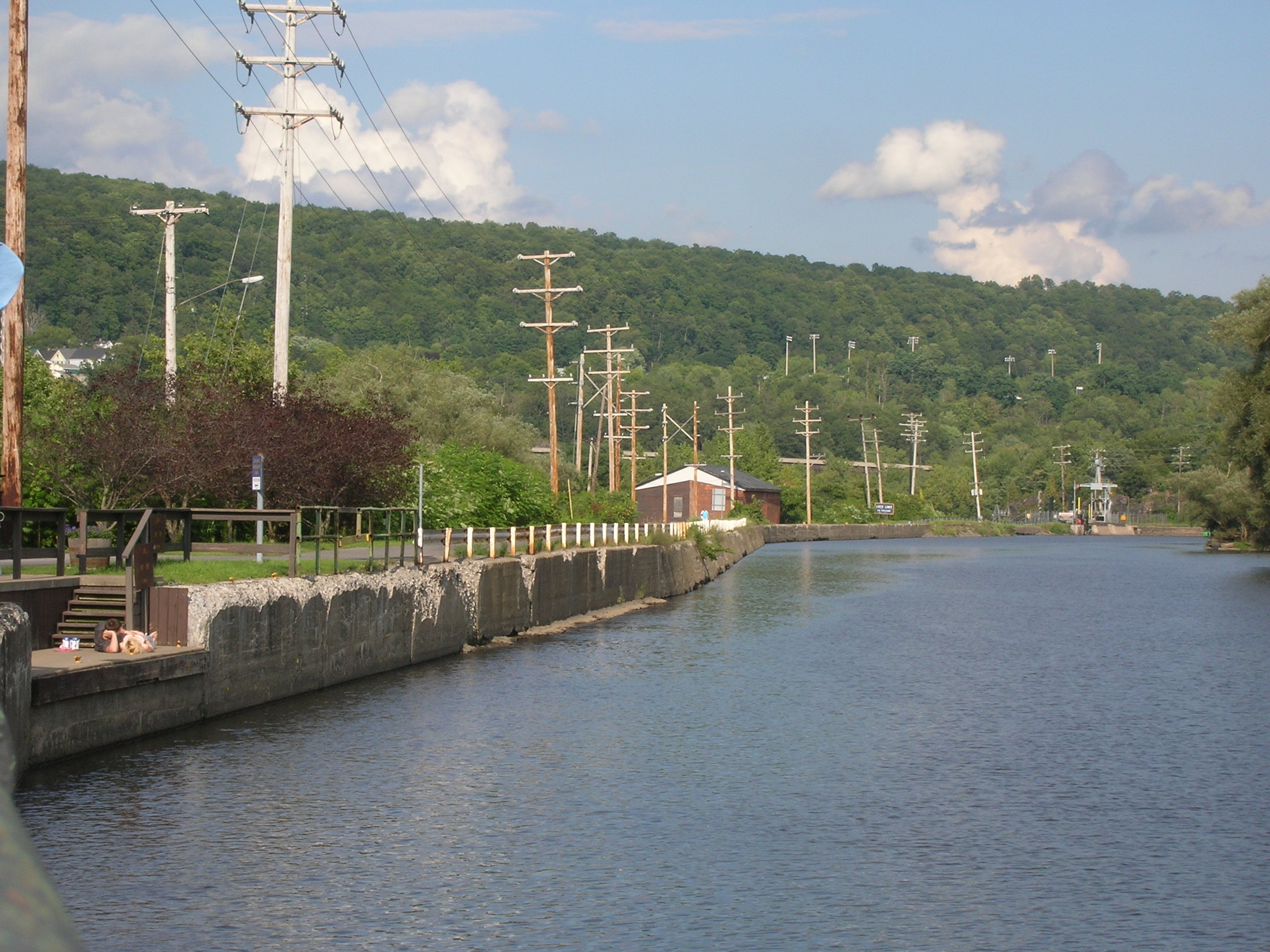
A View East on The Erie Canal

Grimm~
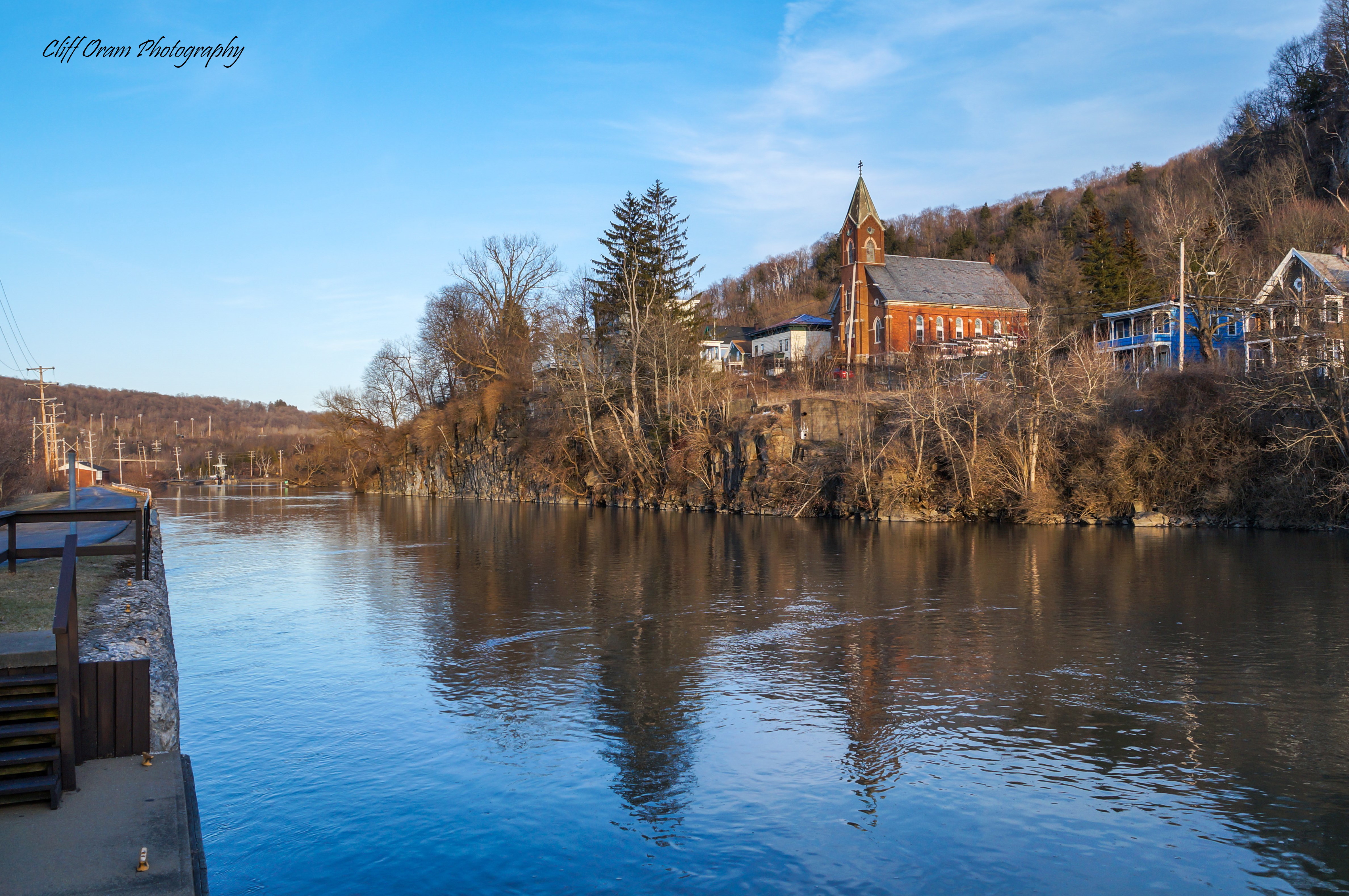
A View of Little Falls

A View Along The Mohawk
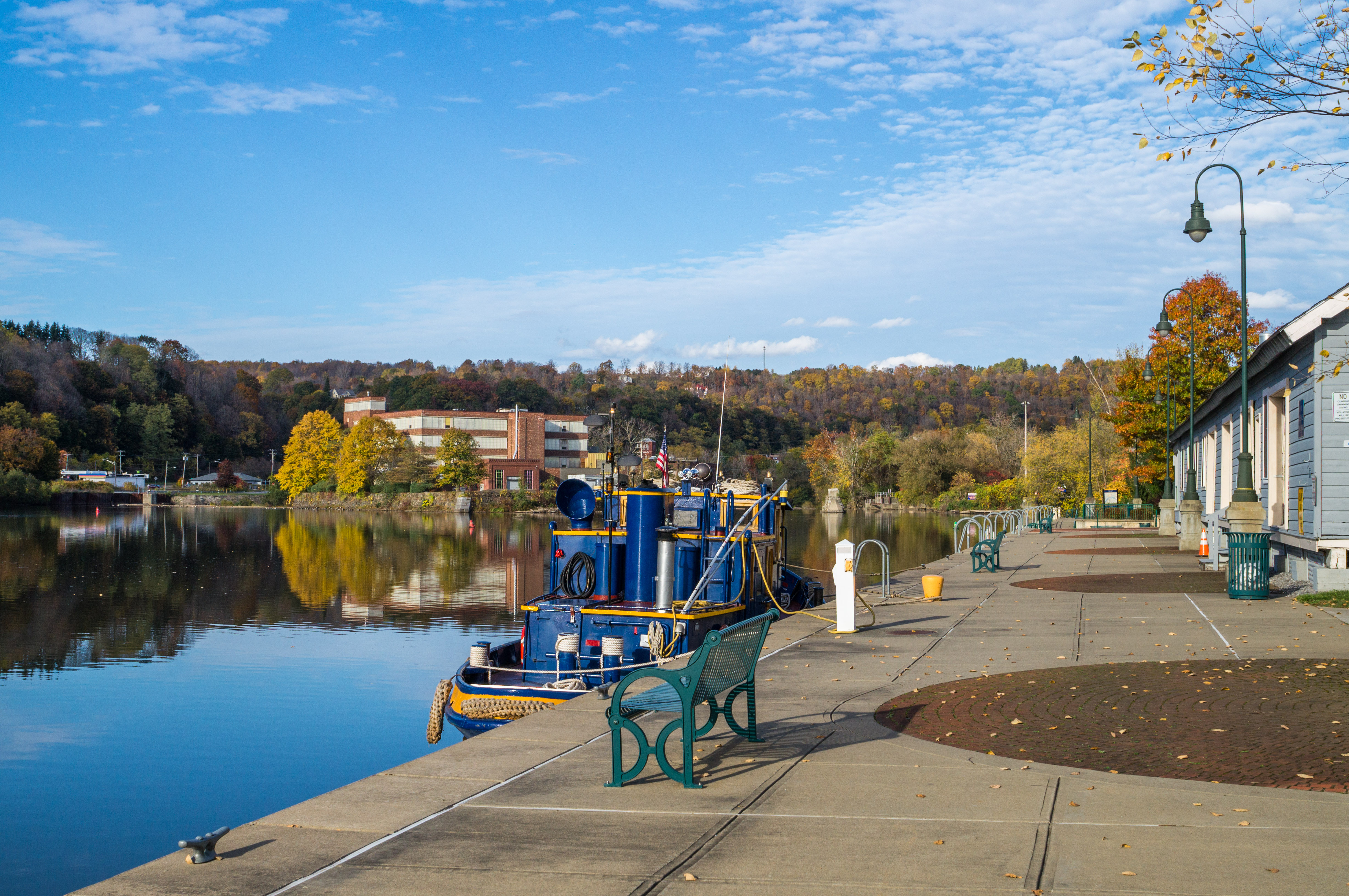
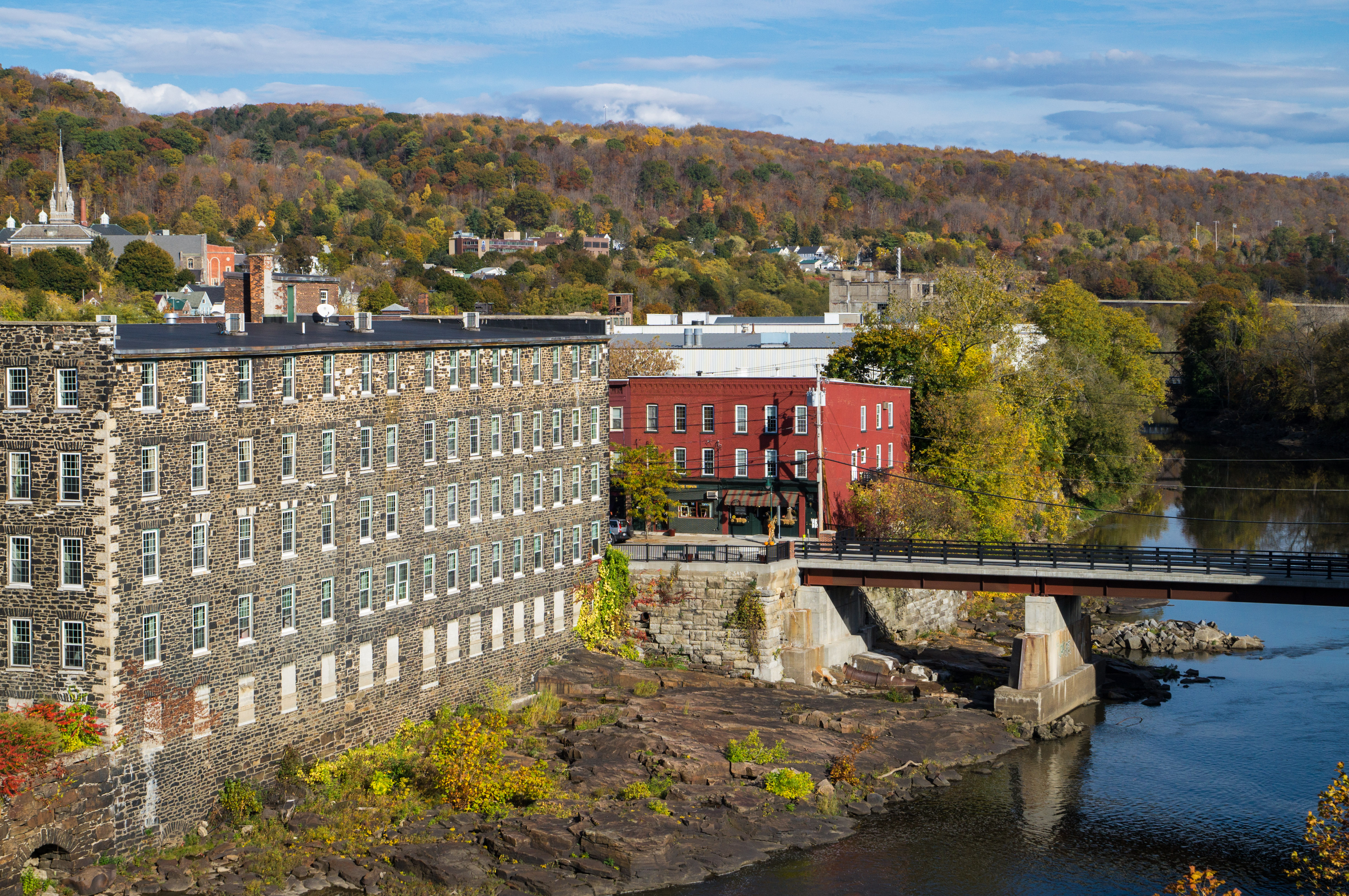
Little Falls Harbor
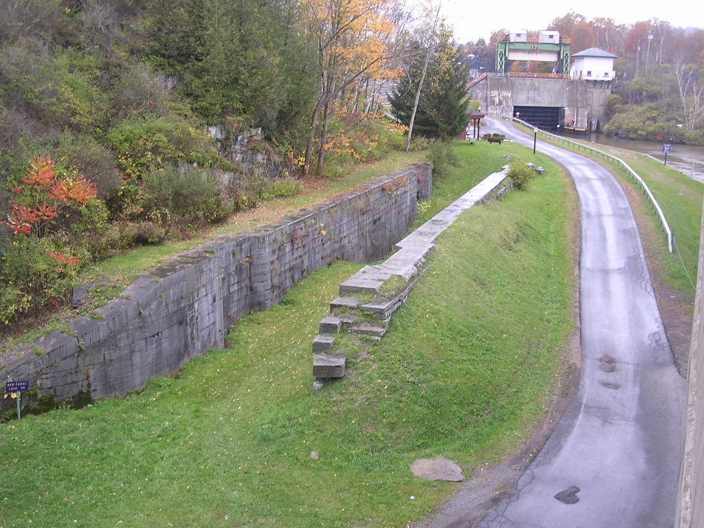
Old Erie Canal Lock 36 - Little Falls

Back view
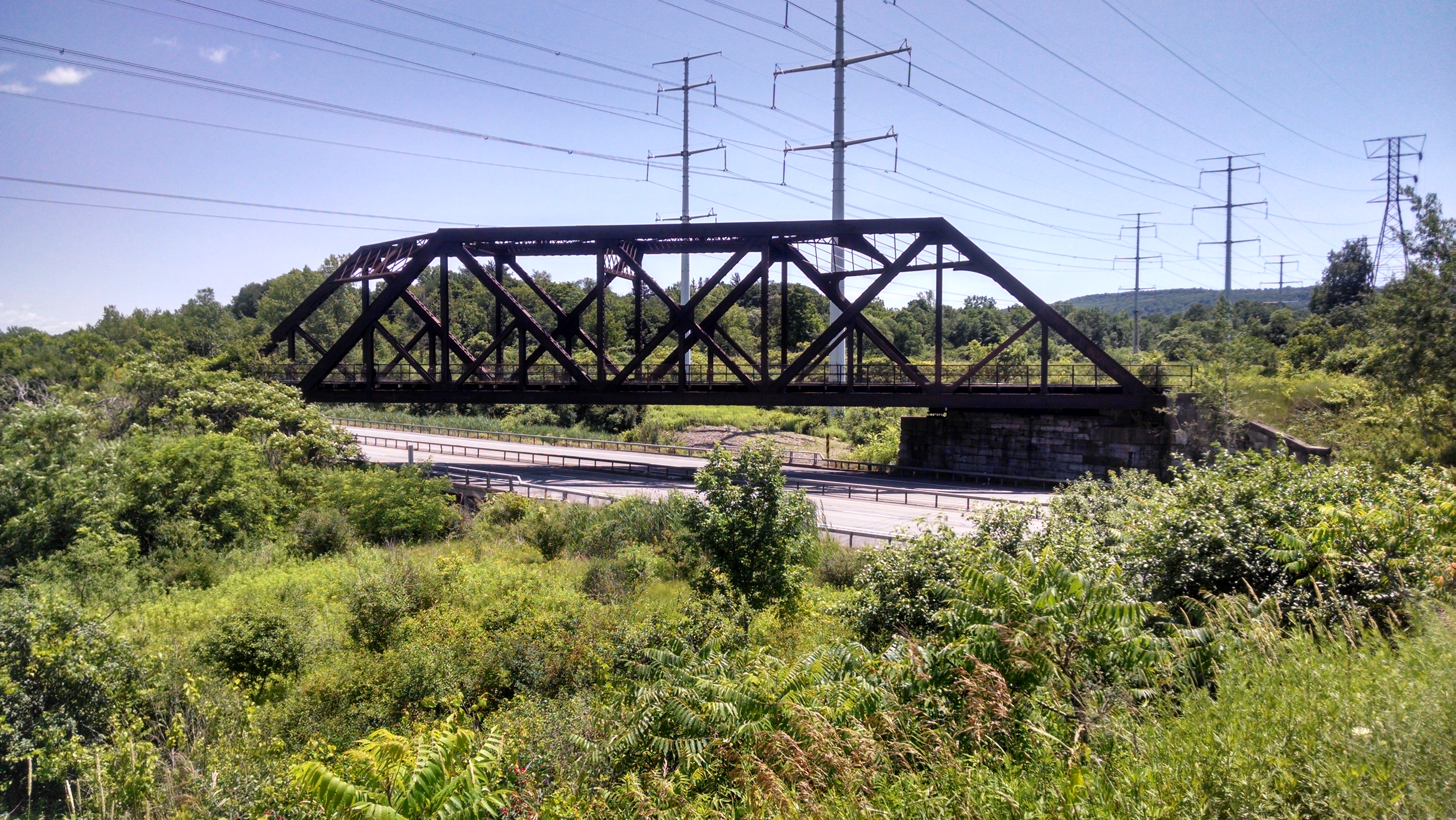
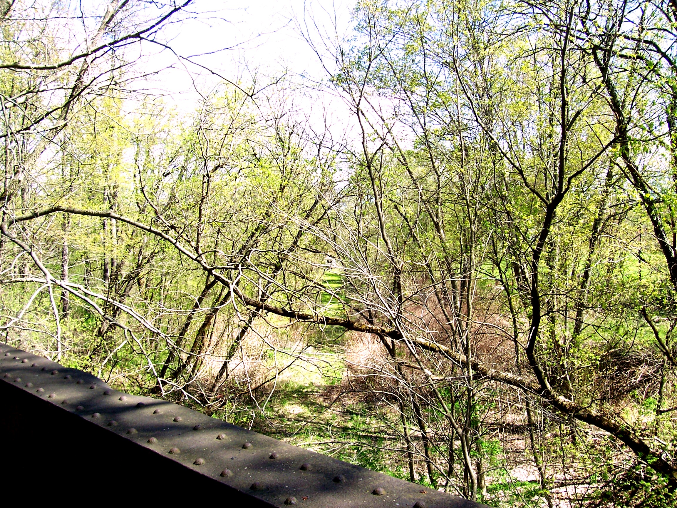
West Shore Railroad Bridge Over 5S
Lampy inspired me for this one.

Side view. Pointy nose big cheeks and mouth.
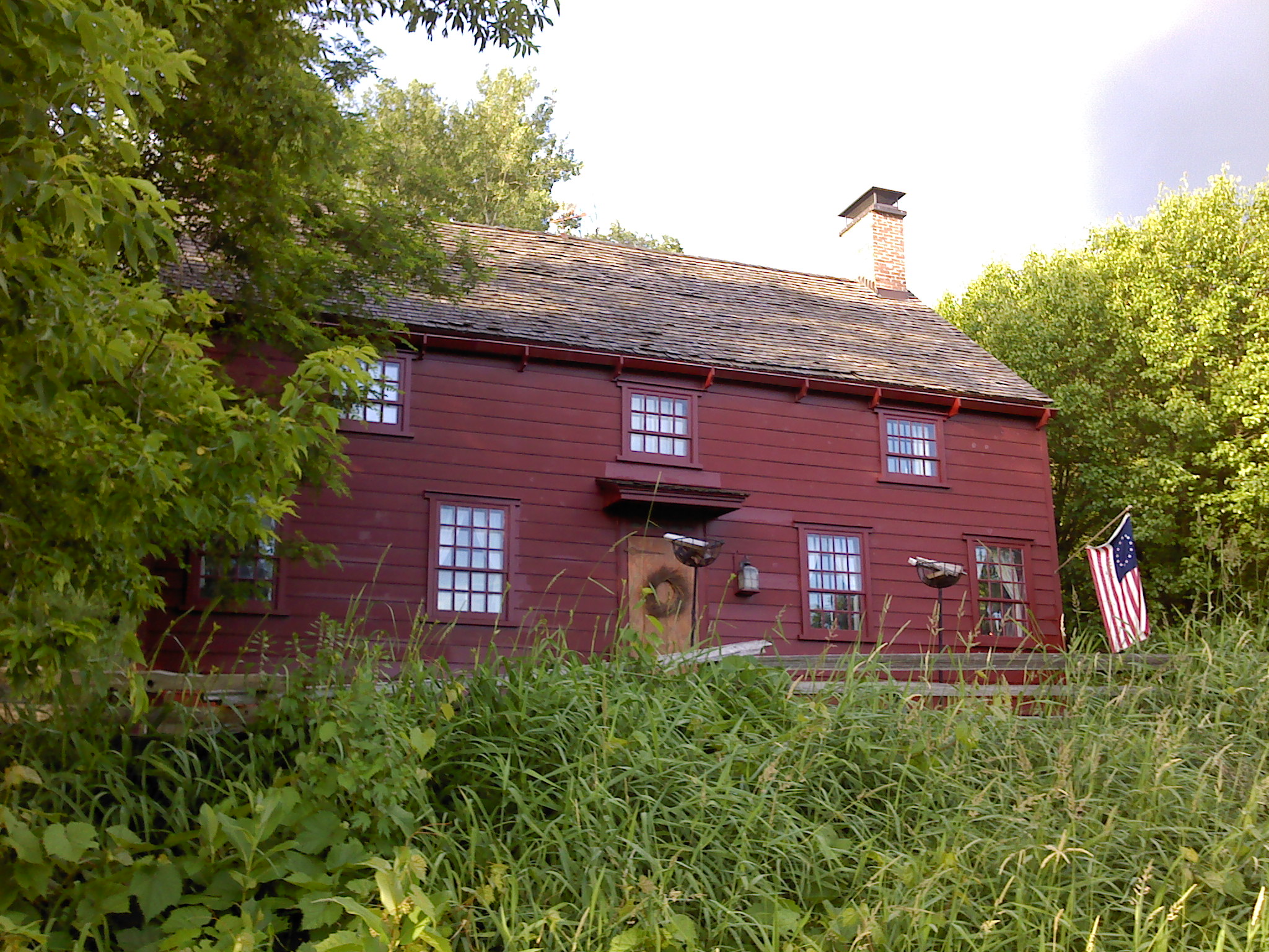
Wohleben House

greenbelt 019

Moss Island
Nikon 042
greenbelt 014
greenbelt 005
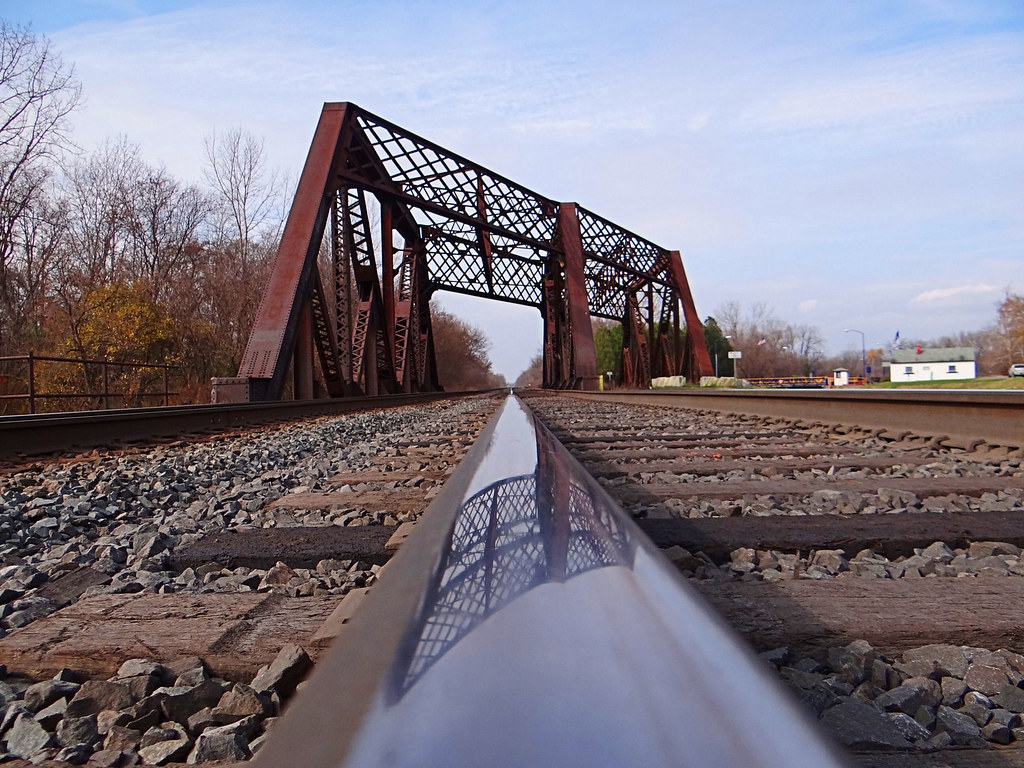
West Shore Railroad Underpass

Nikon 041

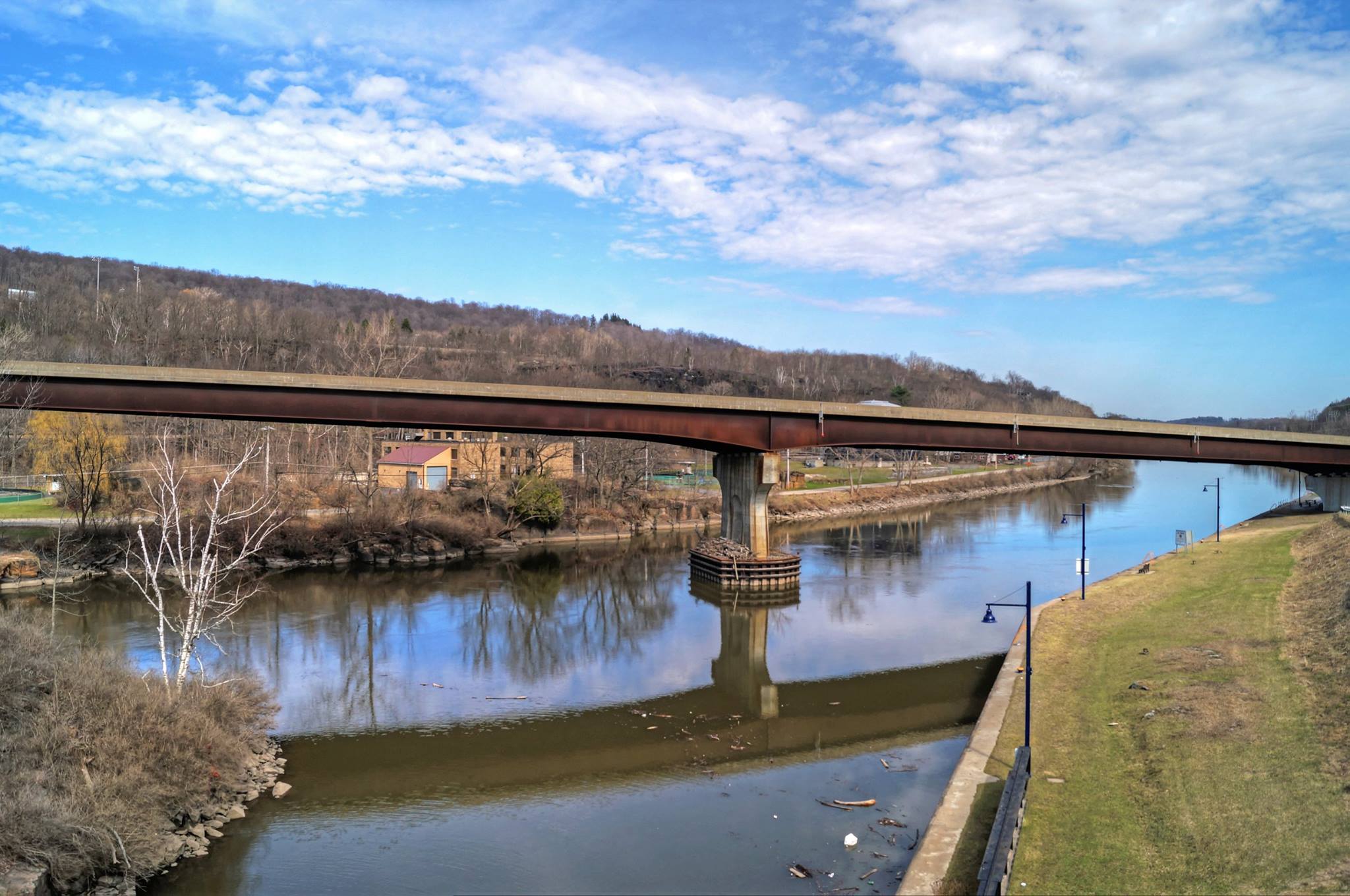
Farmers Bridge Over The West Shore
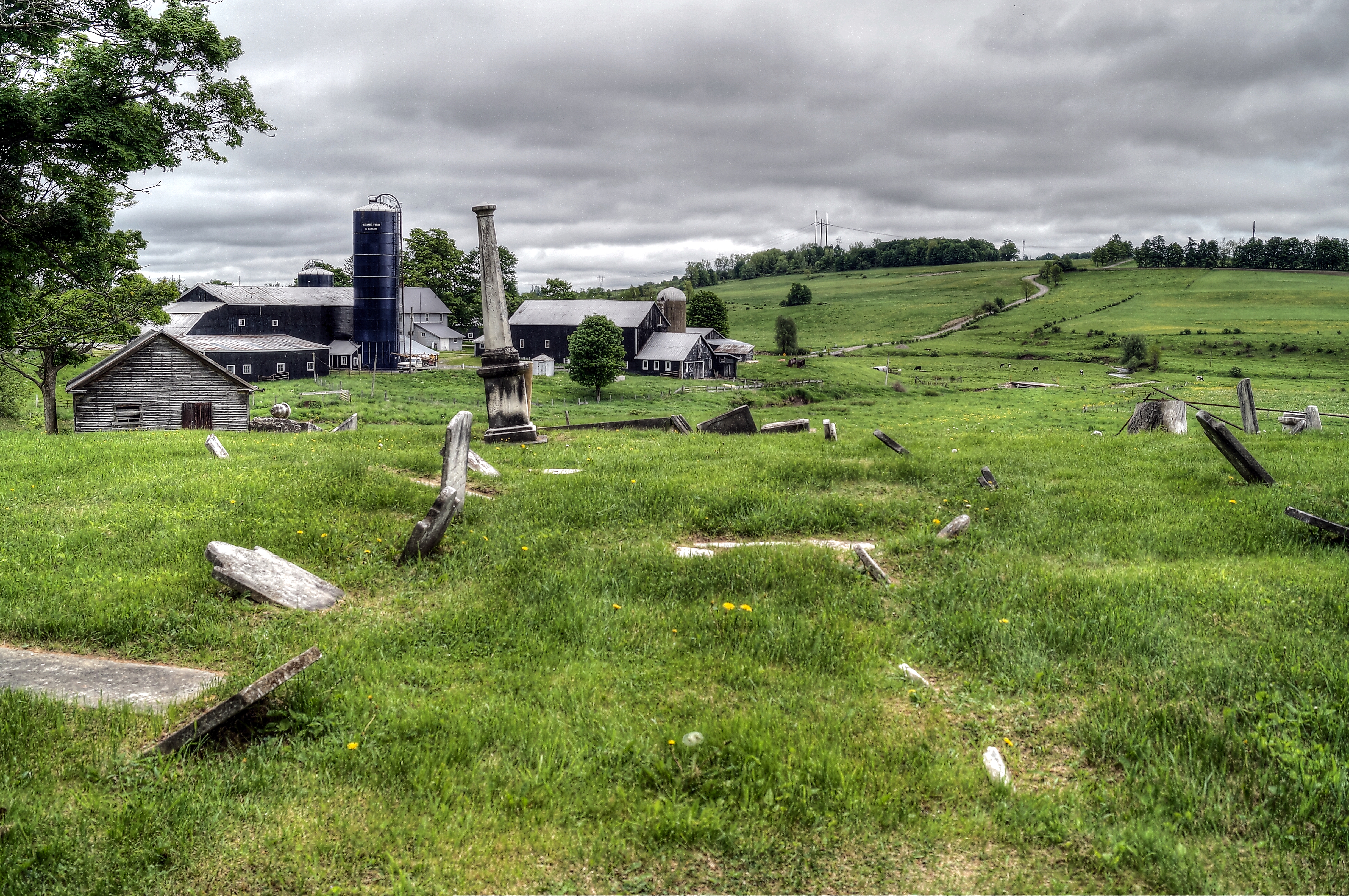
A Country Landscape
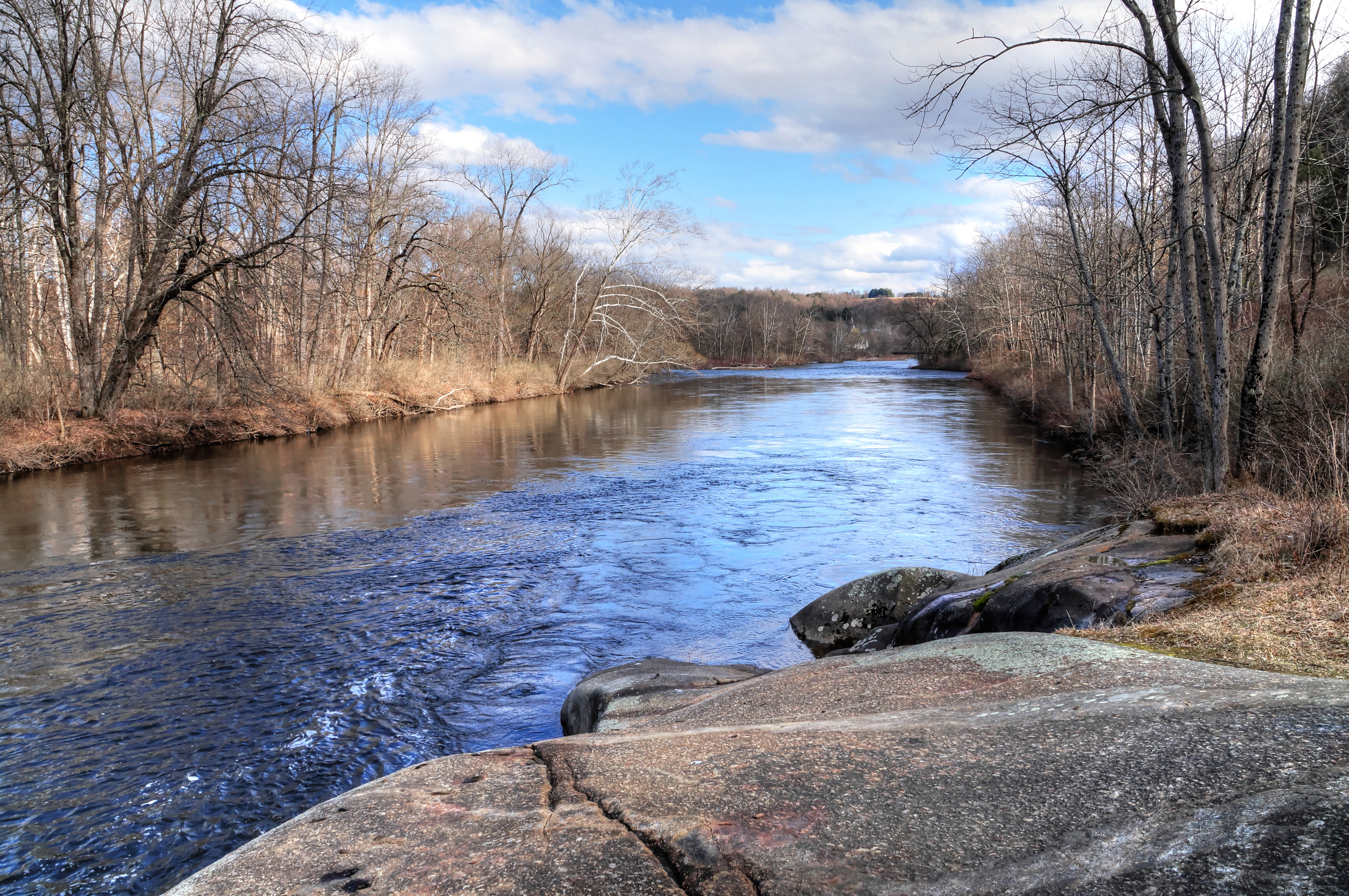
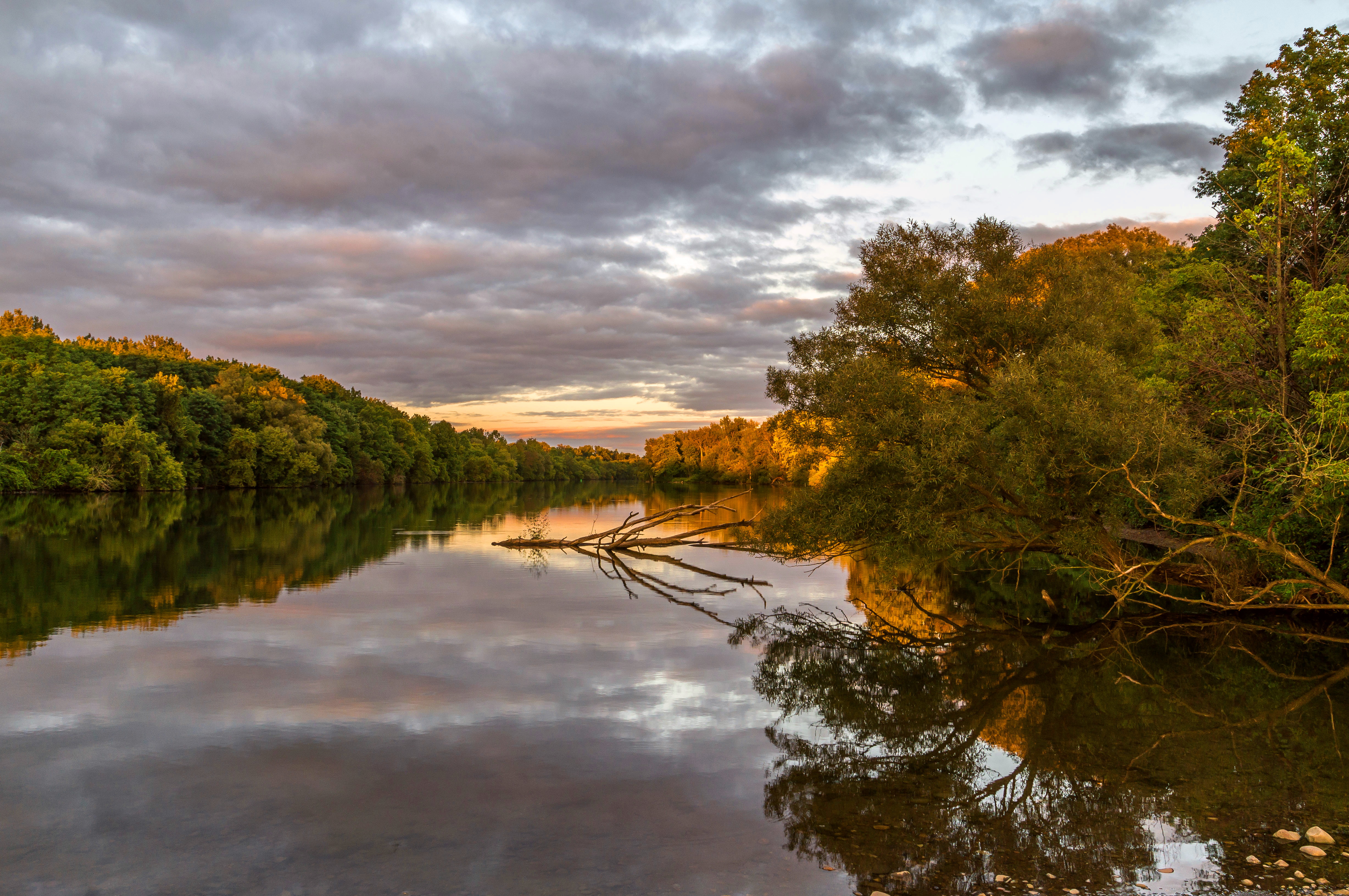
Mohawk River ~ Erie Canal
The Mohawk and The Erie Merge

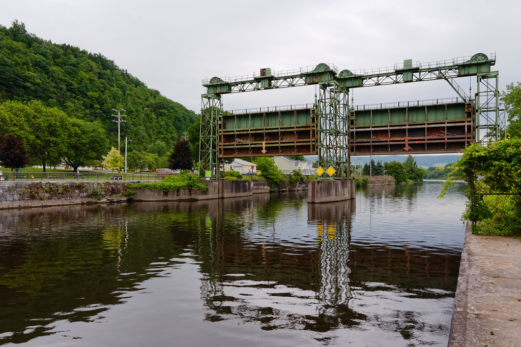
Hydro Power getting bypassed
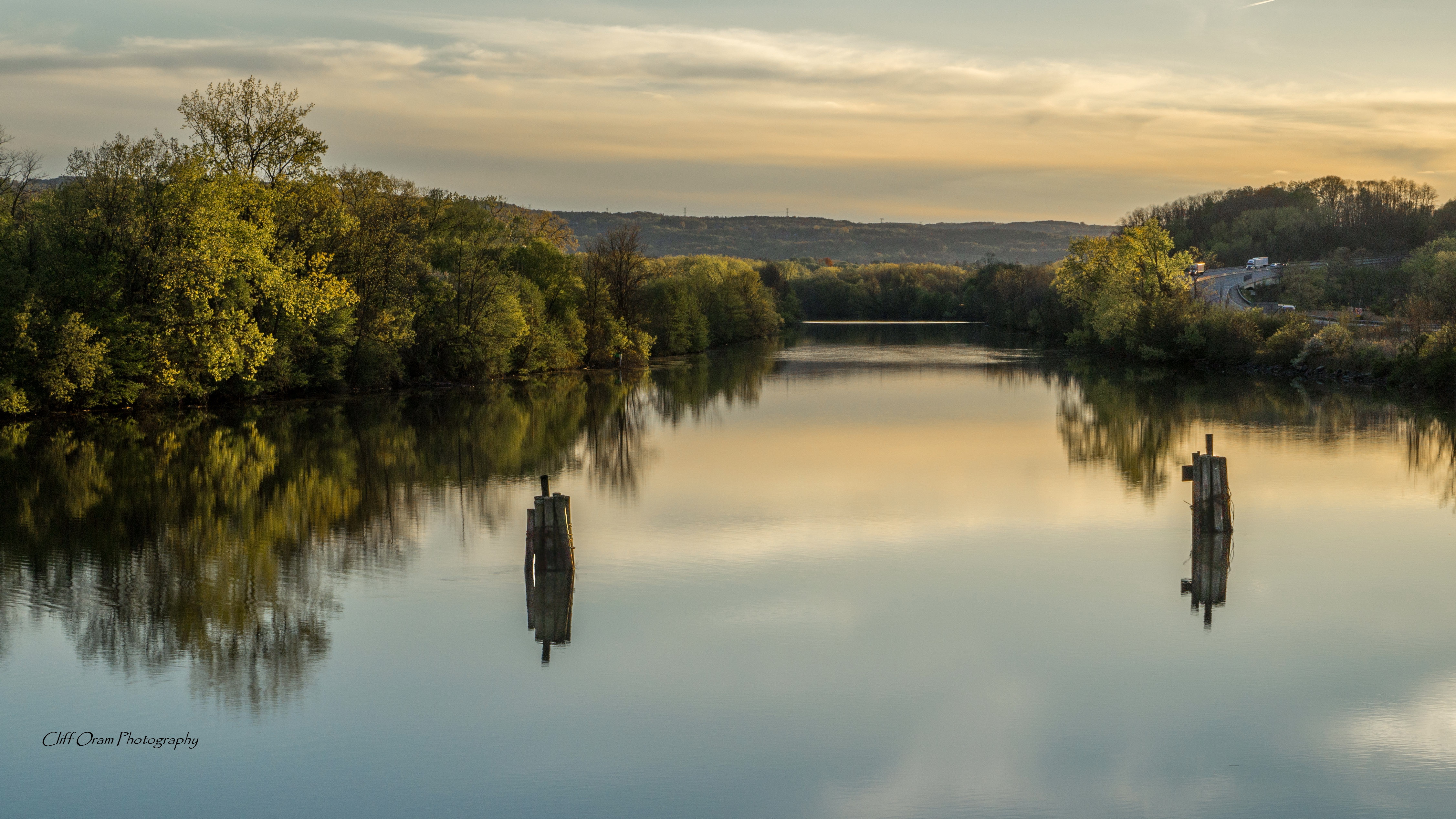
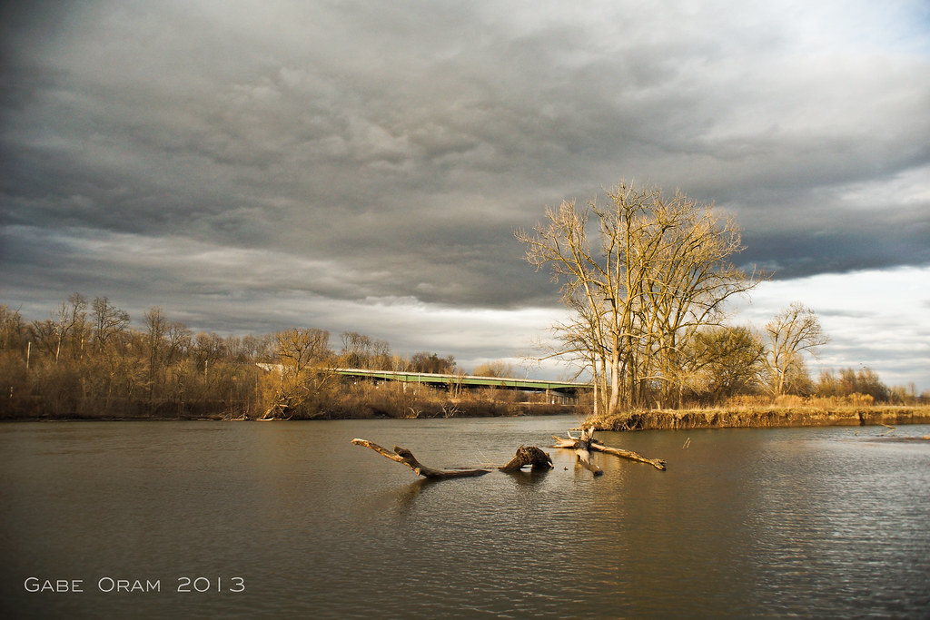
Mohawk River Reflections
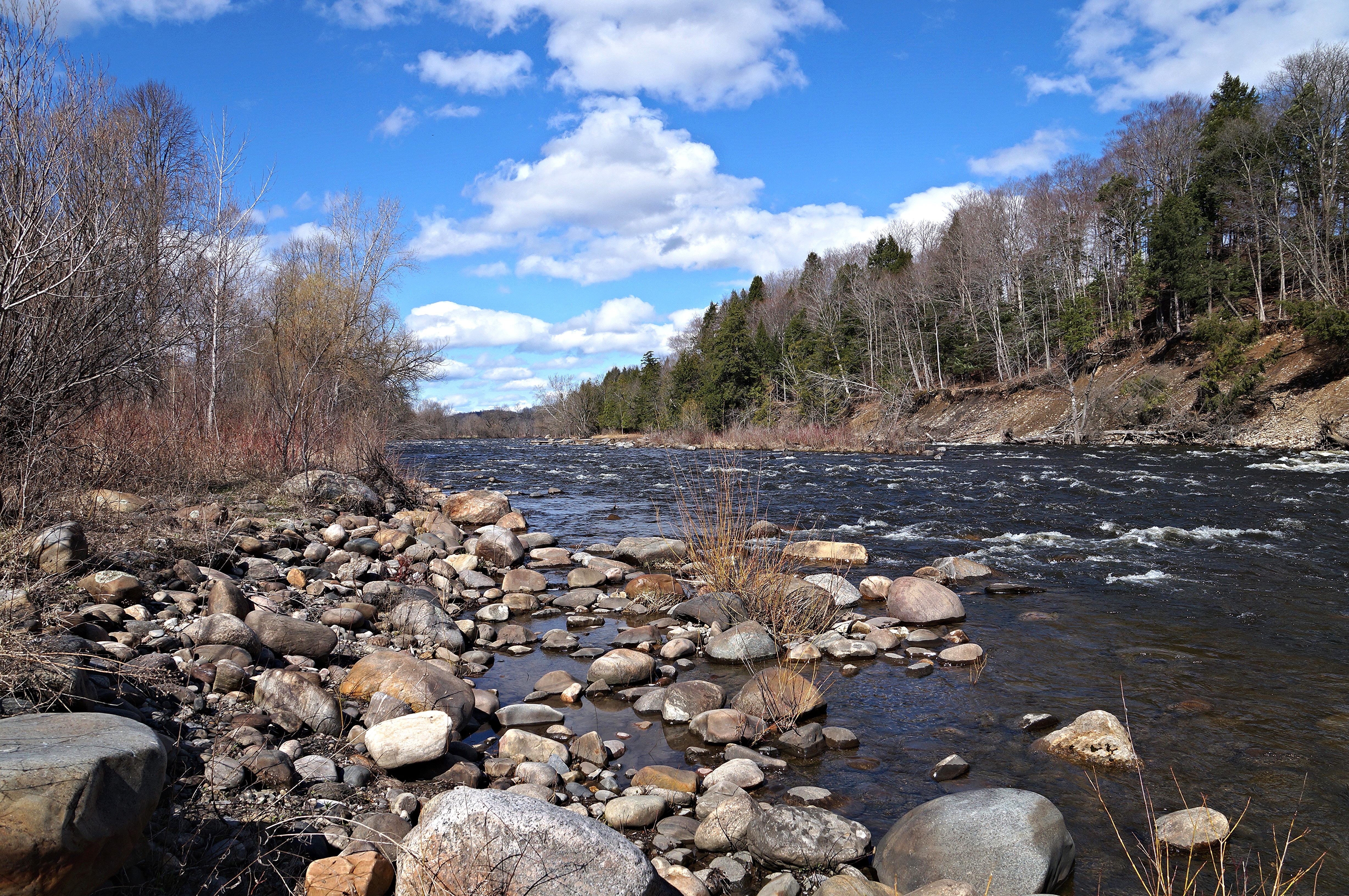
West Canada Creek
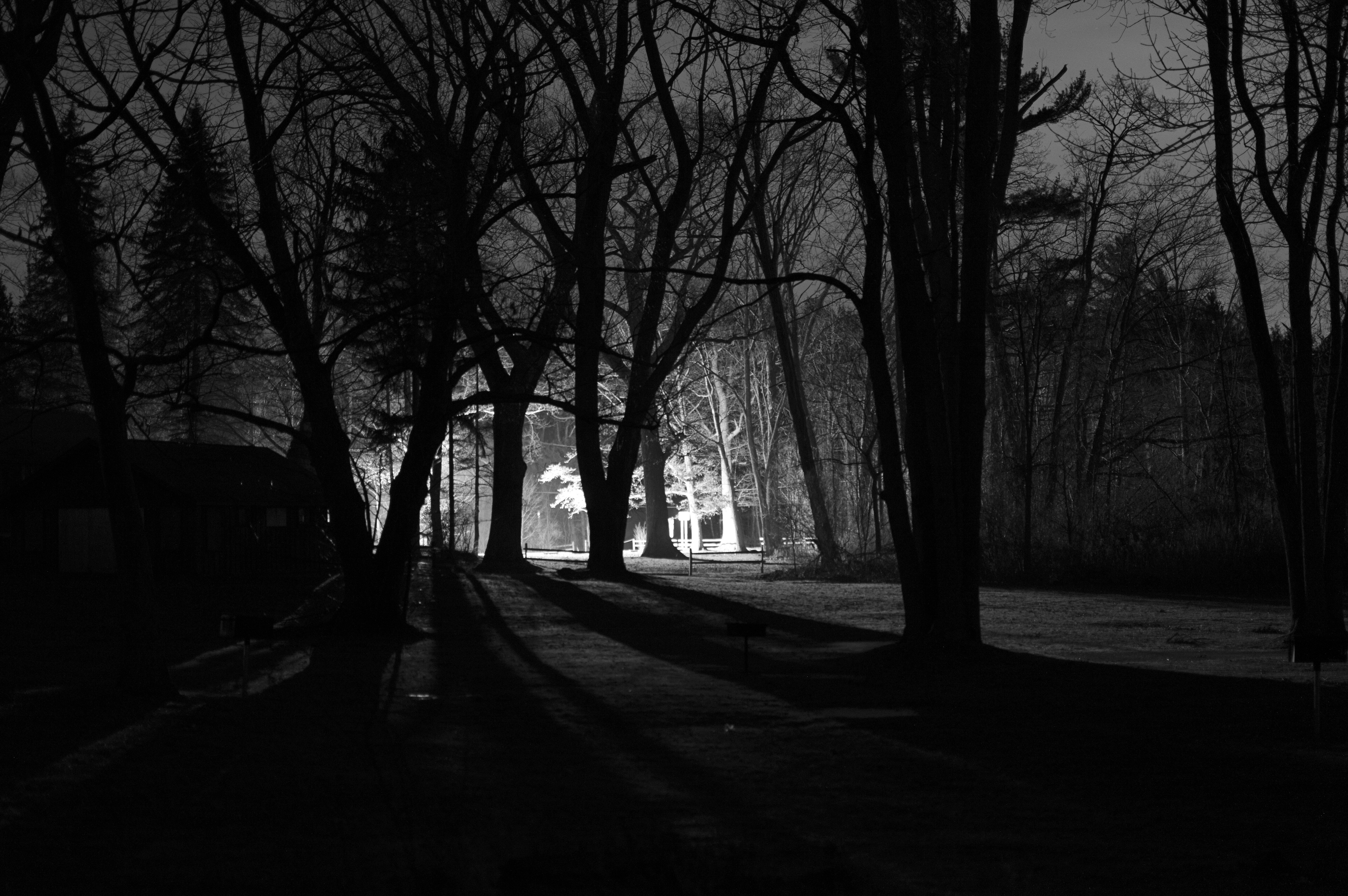
Lighting The Landscape
The Beauty Of The West Canada Creek
Lighting Up The Erie Canal

Lock 17 NYS Barge Canal

Fall in Fairfield
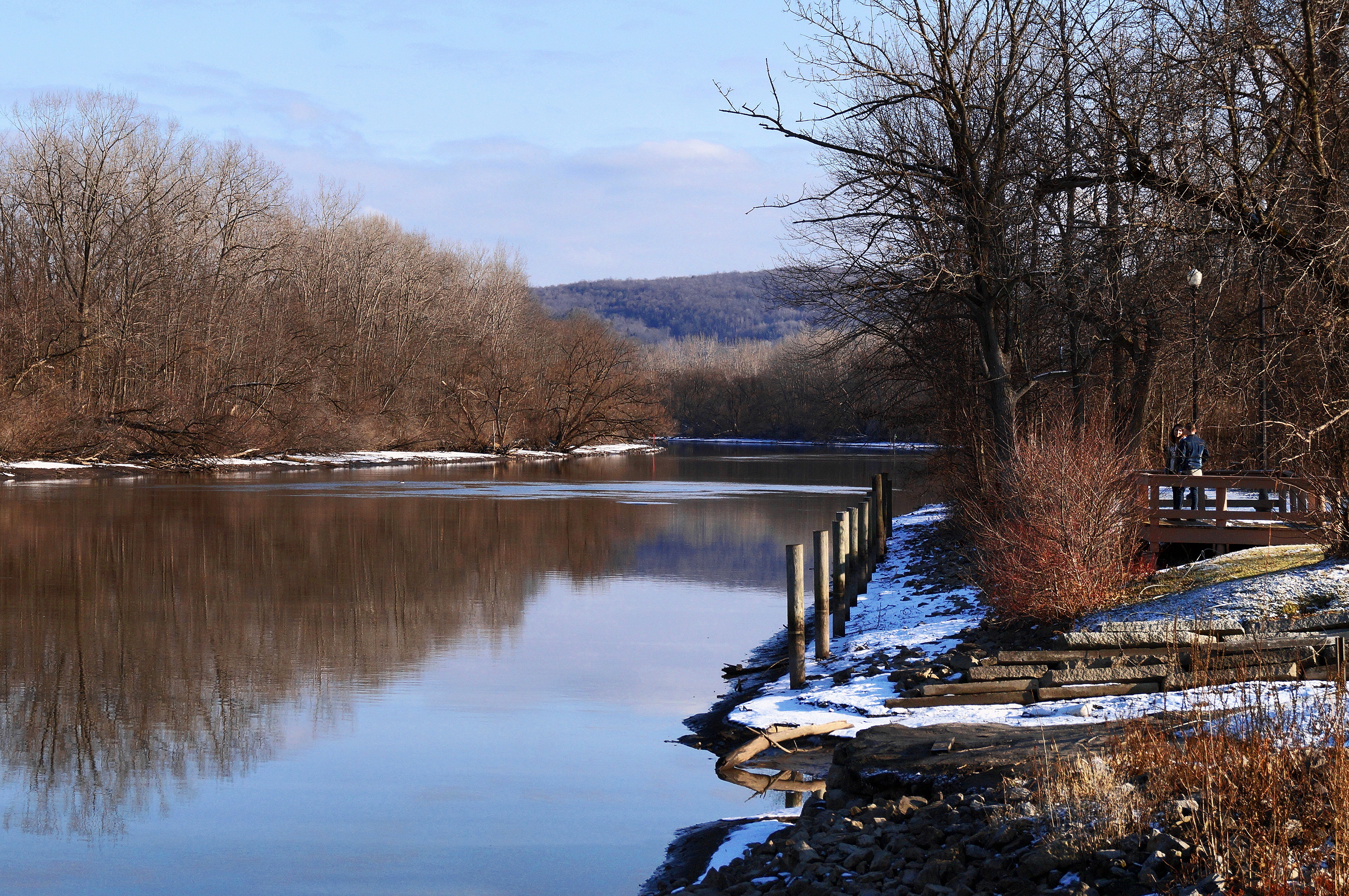
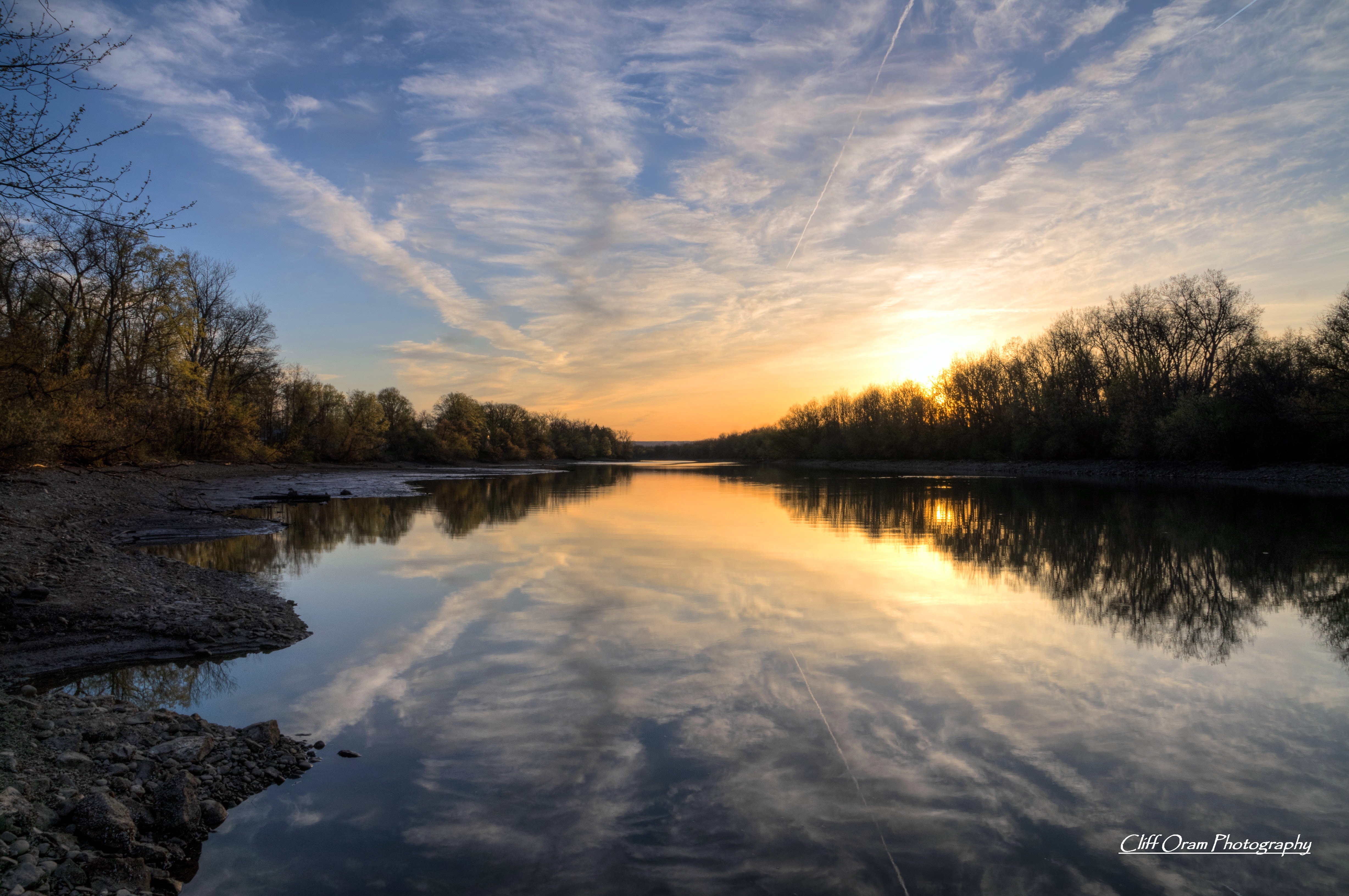
After The Thaw

The Gorge
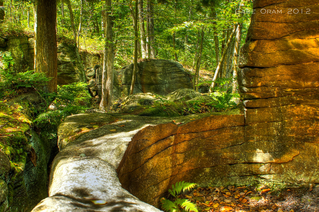
Moss Island Beauty
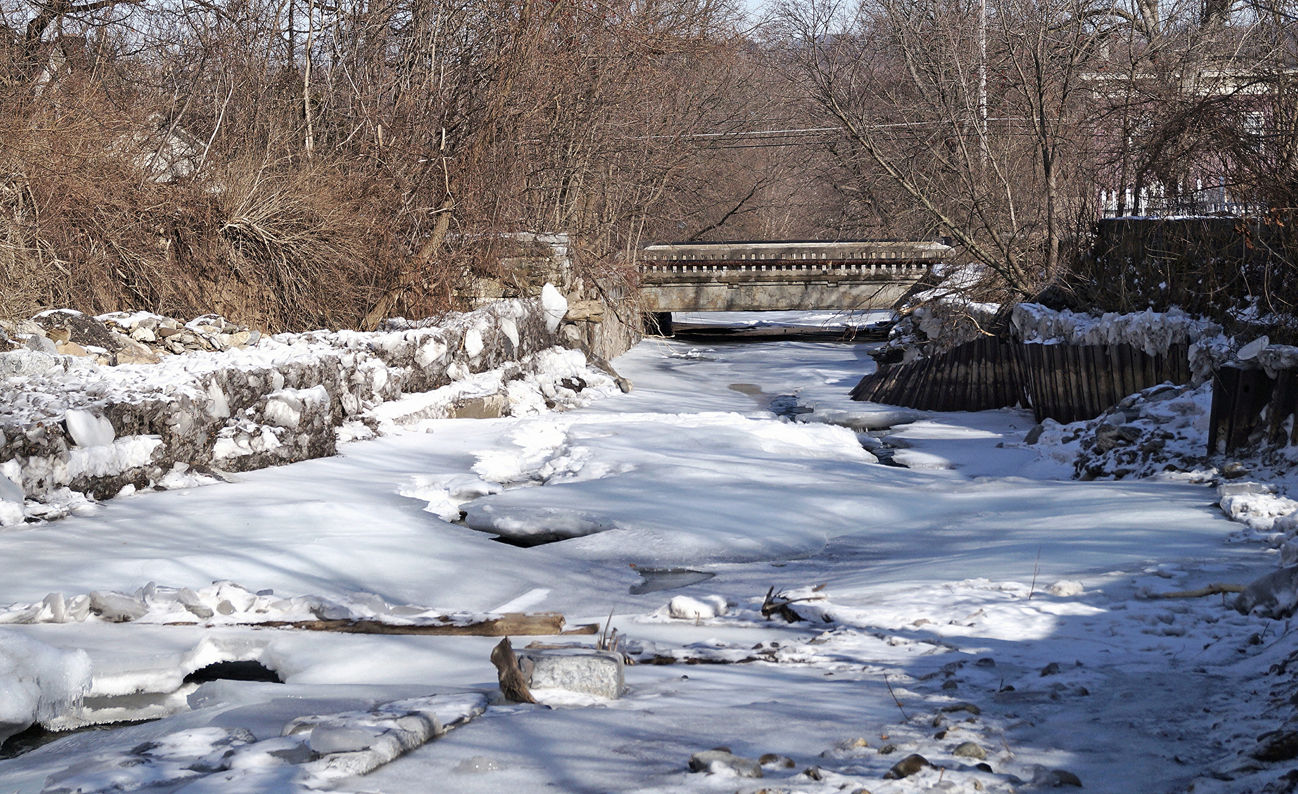
Frozen Moyer Creek
Muddy Waters
I want to believe
Sunset In The West

On the Banks
Topographic Map of Voelkle Road, Voelkle Rd, Newport, NY, USA
Find elevation by address:

Places near Voelkle Road, Voelkle Rd, Newport, NY, USA:
374 Summit Rd
37 N Main St
Middleville
206 Reservoir Rd
Fairfield
Casler Road
690 Minots Corner Rd
Newport
Snyder Fuel Service Inc
Newport
Lindsay Road
1323 Co Rd 142
Fairfield
Minots Corner Road
Butler Rd, Newport, NY, USA
Teall Road
Norway
Johnson Rd, Frankfort, NY, USA
Barto Hill
Schuyler
Recent Searches:
- Elevation of Congressional Dr, Stevensville, MD, USA
- Elevation of Bellview Rd, McLean, VA, USA
- Elevation of Stage Island Rd, Chatham, MA, USA
- Elevation of Shibuya Scramble Crossing, 21 Udagawacho, Shibuya City, Tokyo -, Japan
- Elevation of Jadagoniai, Kaunas District Municipality, Lithuania
- Elevation of Pagonija rock, Kranto 7-oji g. 8"N, Kaunas, Lithuania
- Elevation of Co Rd 87, Jamestown, CO, USA
- Elevation of Tenjo, Cundinamarca, Colombia
- Elevation of Côte-des-Neiges, Montreal, QC H4A 3J6, Canada
- Elevation of Bobcat Dr, Helena, MT, USA