Elevation of Fairfield, NY, USA
Location: United States > New York > Herkimer County >
Longitude: -74.944258
Latitude: 43.1156067
Elevation: 287m / 942feet
Barometric Pressure: 98KPa
Elevation Map:
Satellite Map:
Related Photos:

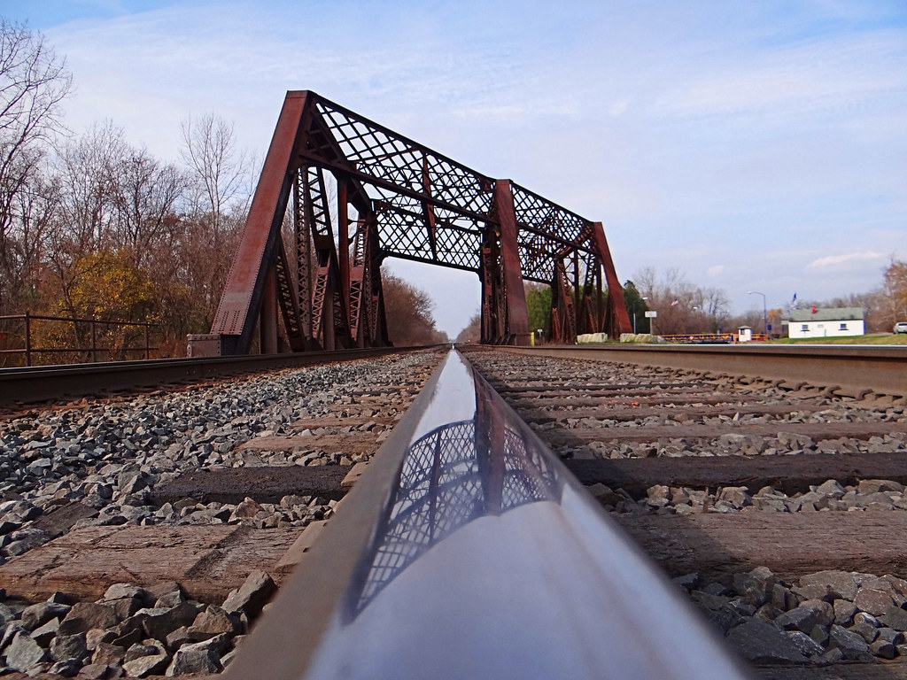
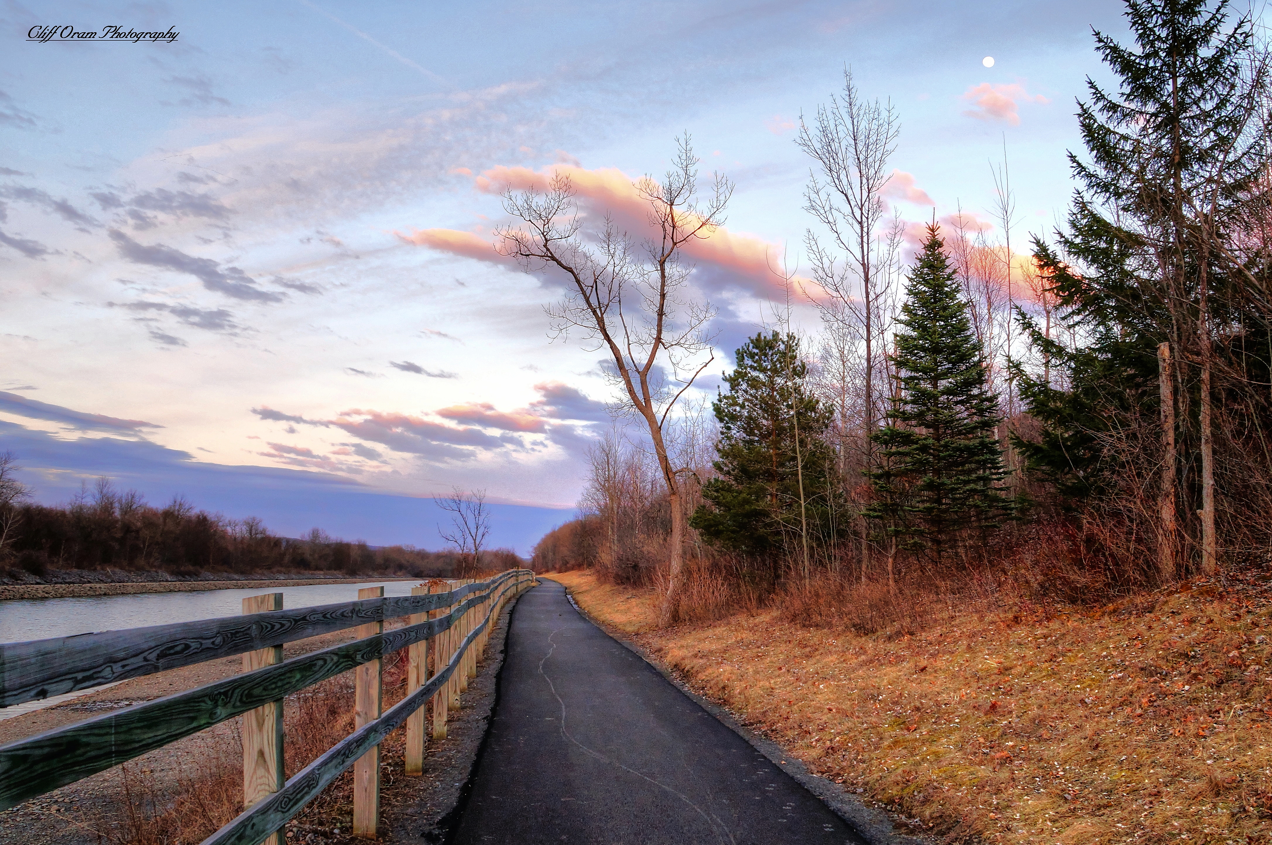
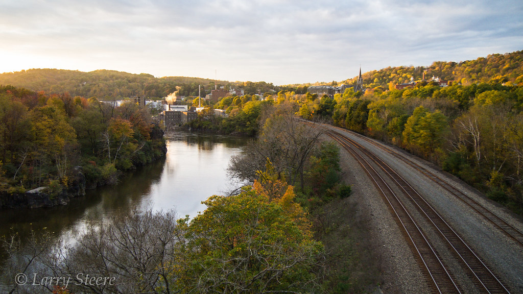
A View Along The Mohawk
Lampy inspired me for this one.

Back view

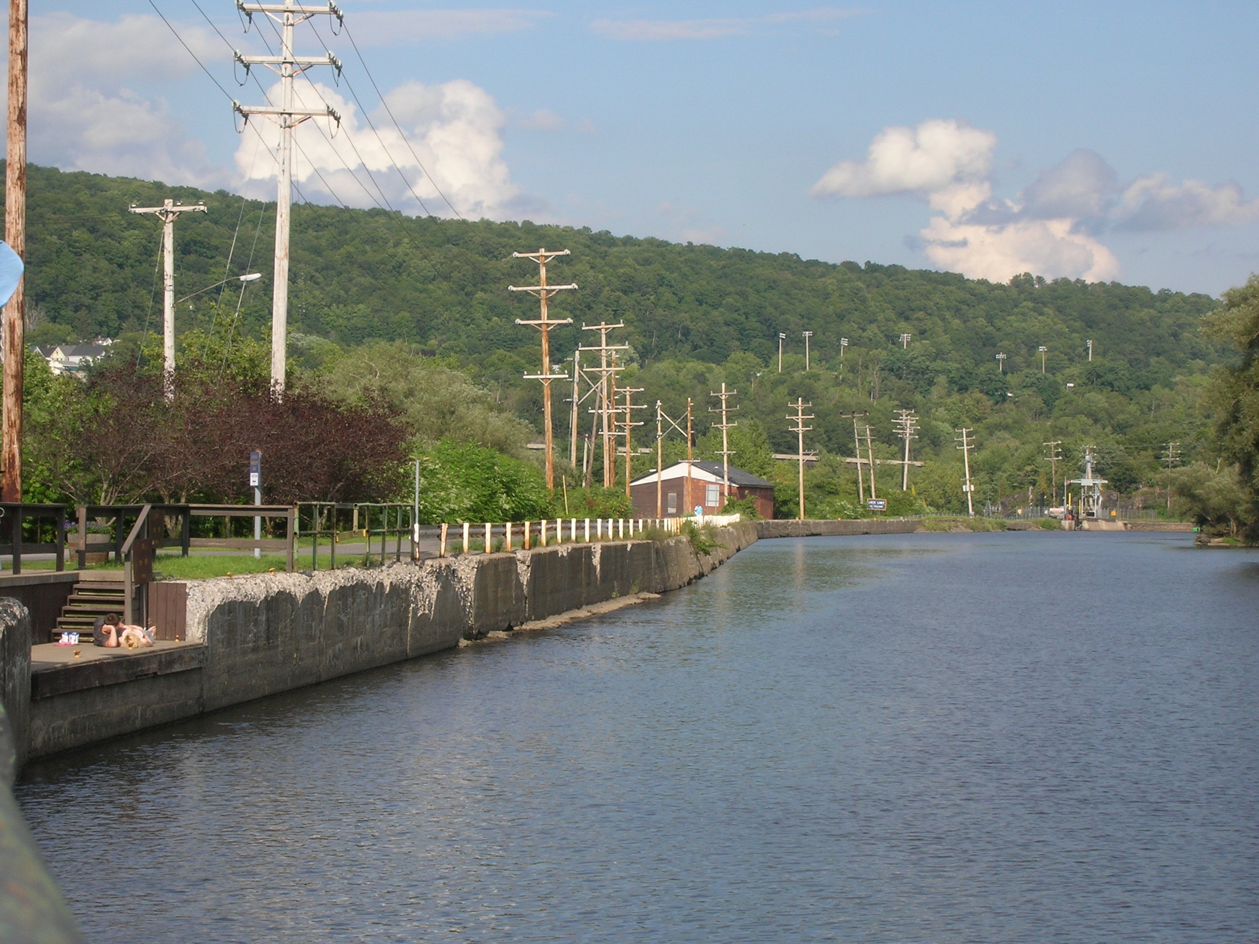
Erie Canal gates
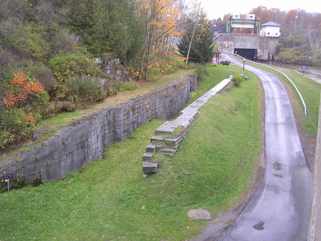
Lock 38 - Little Falls
Old Erie Canal Lock 36 - Little Falls
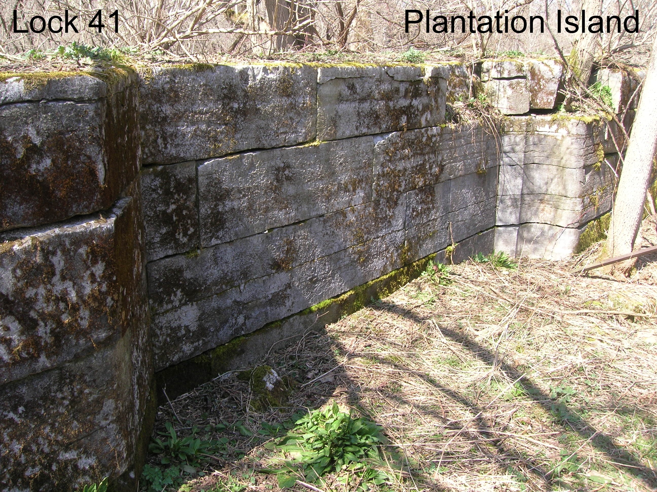
Lock 41 - Plantation Island
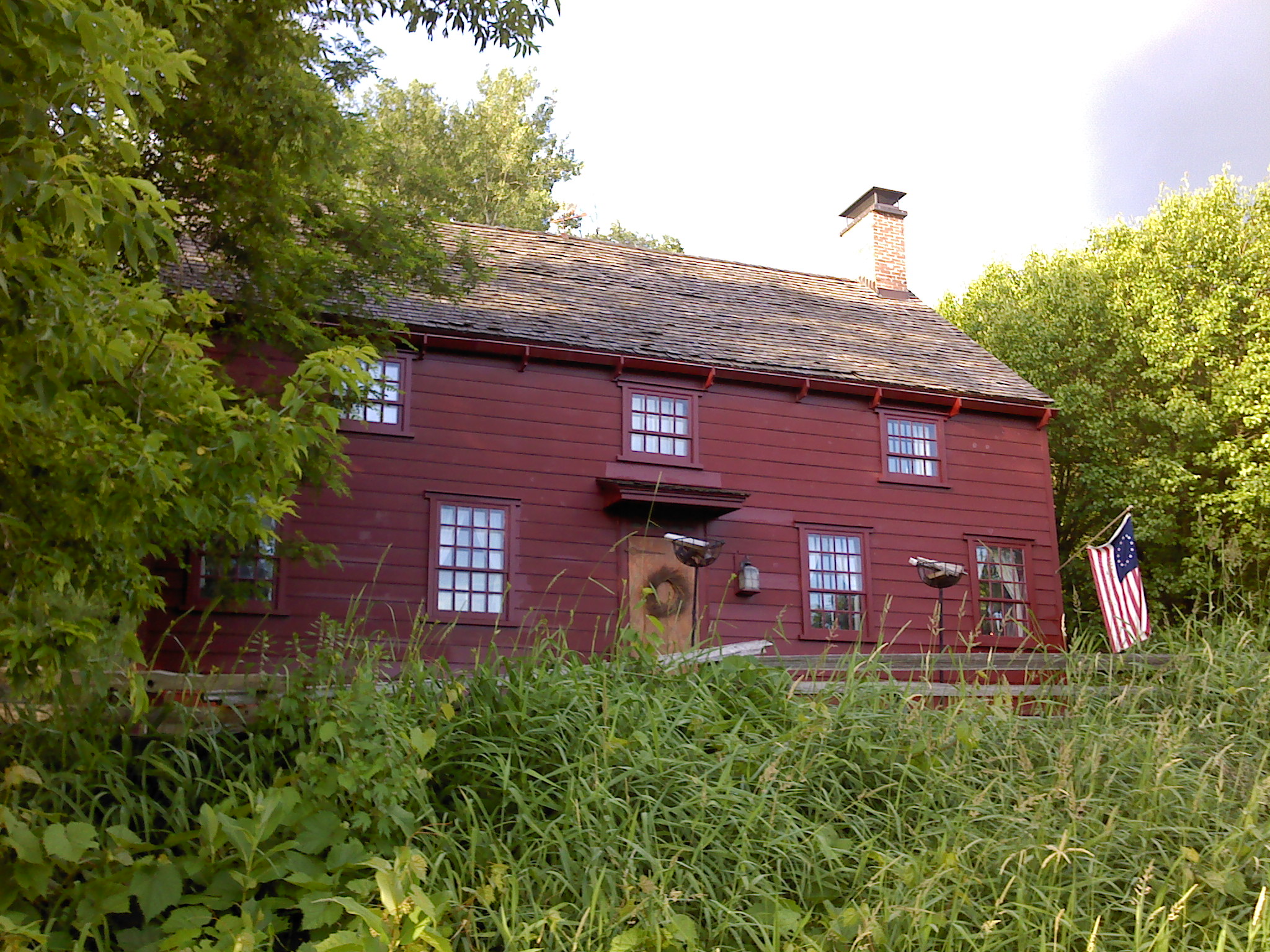
Wohleben House

greenbelt 019

Side view. I took a look and saw a fairy so i will give her fairy ears.
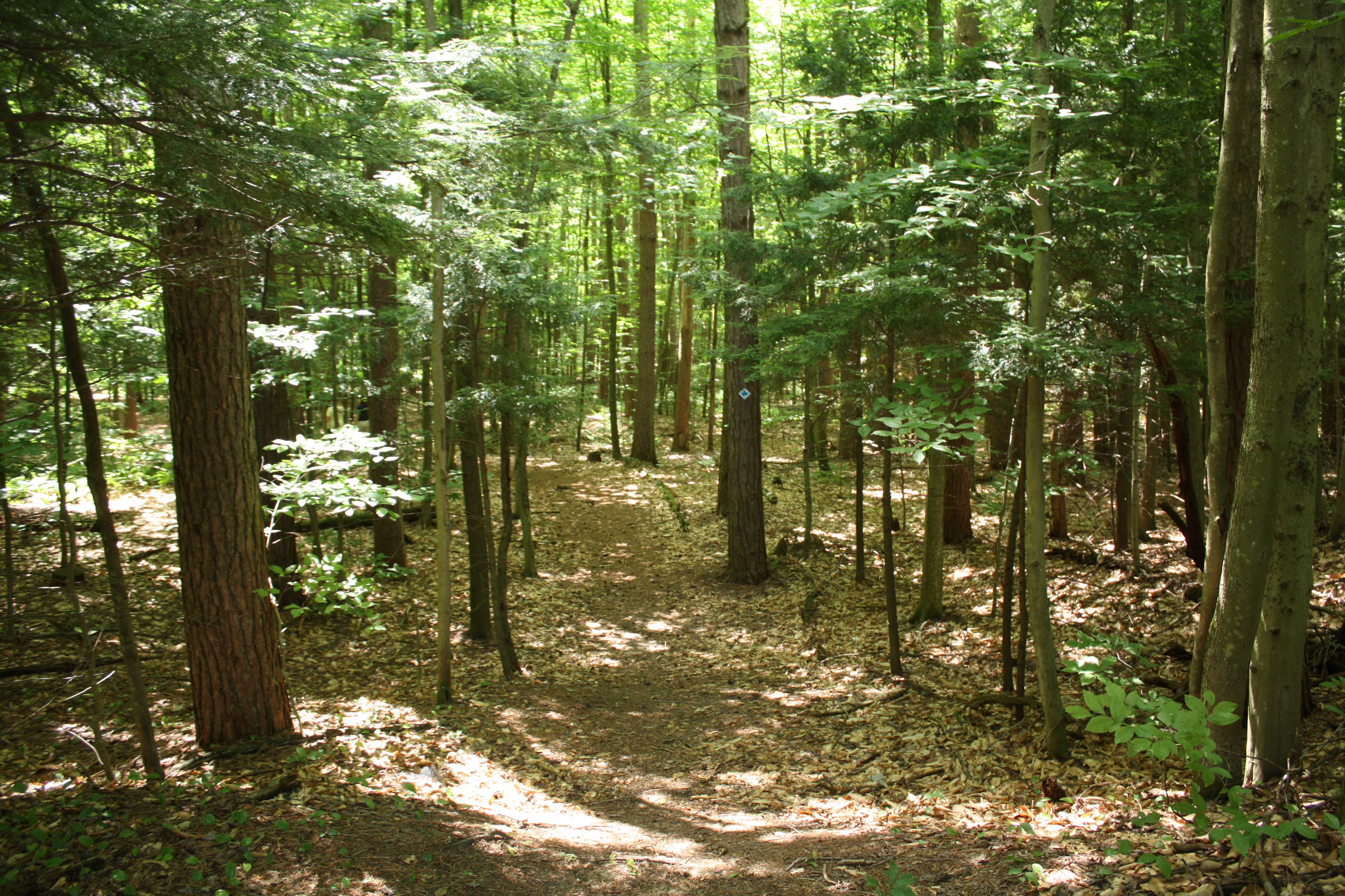
greenbelt 021

Side view. Pointy nose big cheeks and mouth.

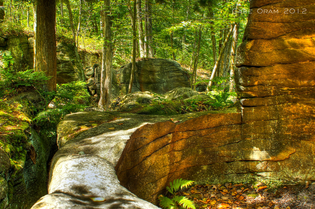
Moss Island
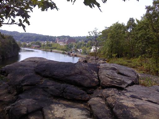
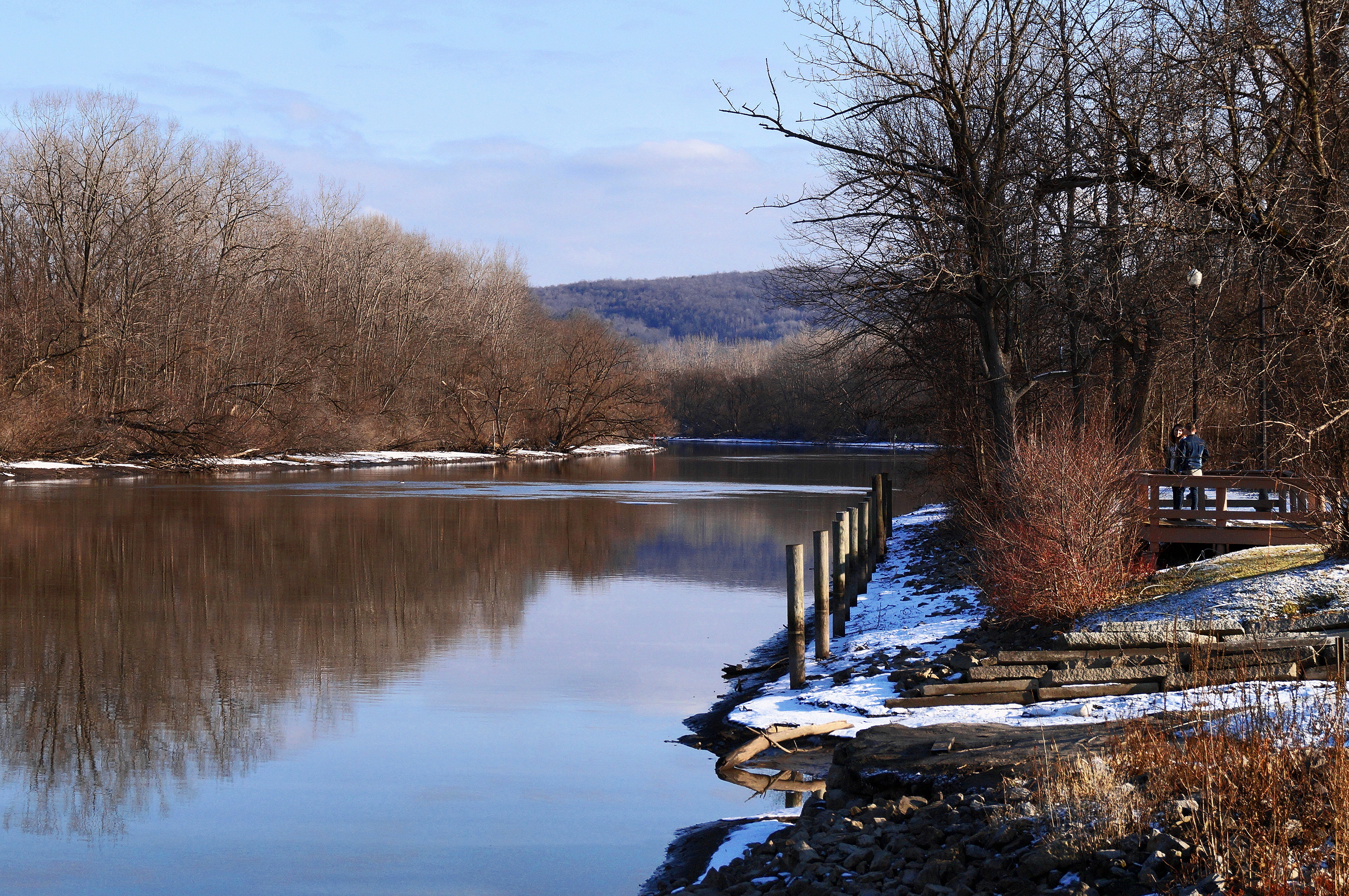
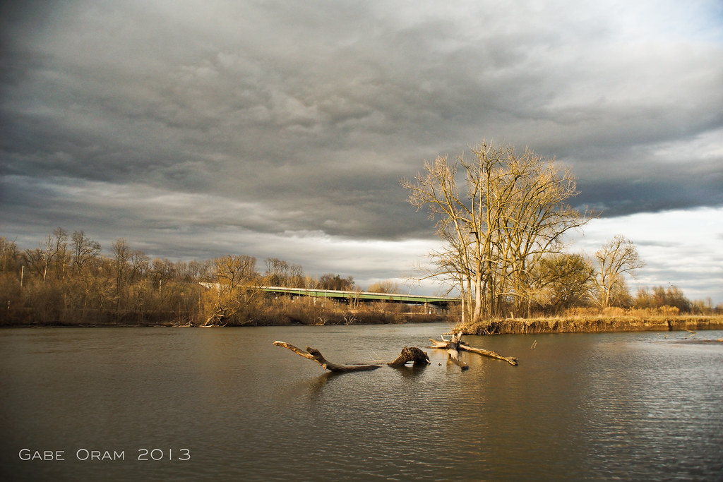
Mohawk River View
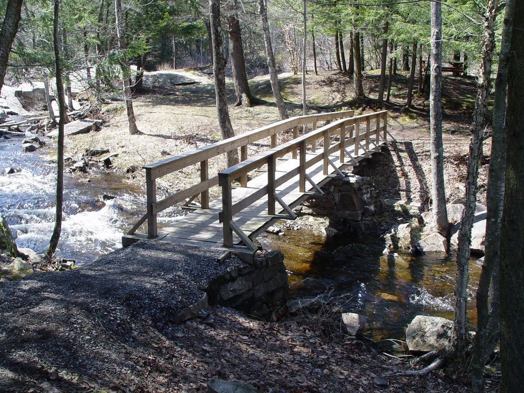
Footbridge in off season.
greenbelt 012
Another glamorous hotel view...
Nikon 042
greenbelt 005
greenbelt 014
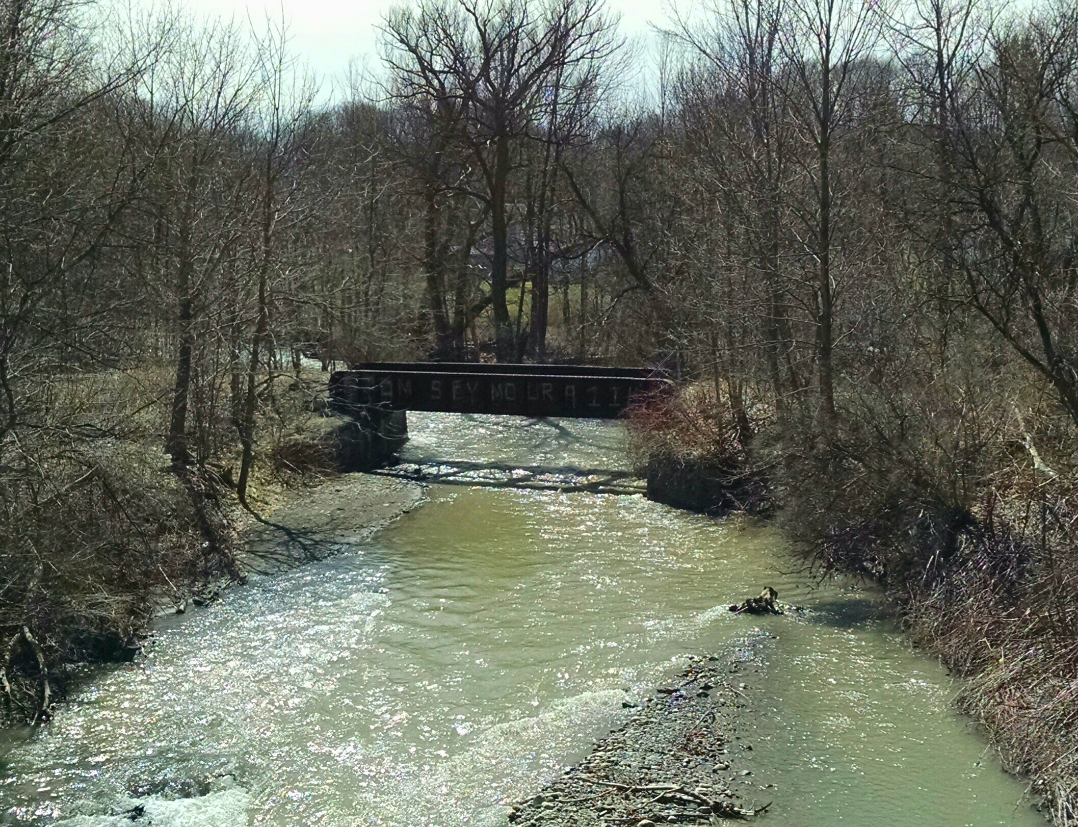
West Shore Railroad Underpass
A Country Landscape
A Scene On The Erie
After The Thaw
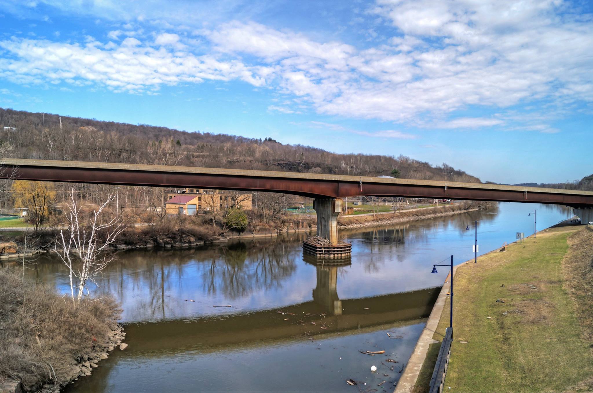
The Mohawk and The Erie Merge
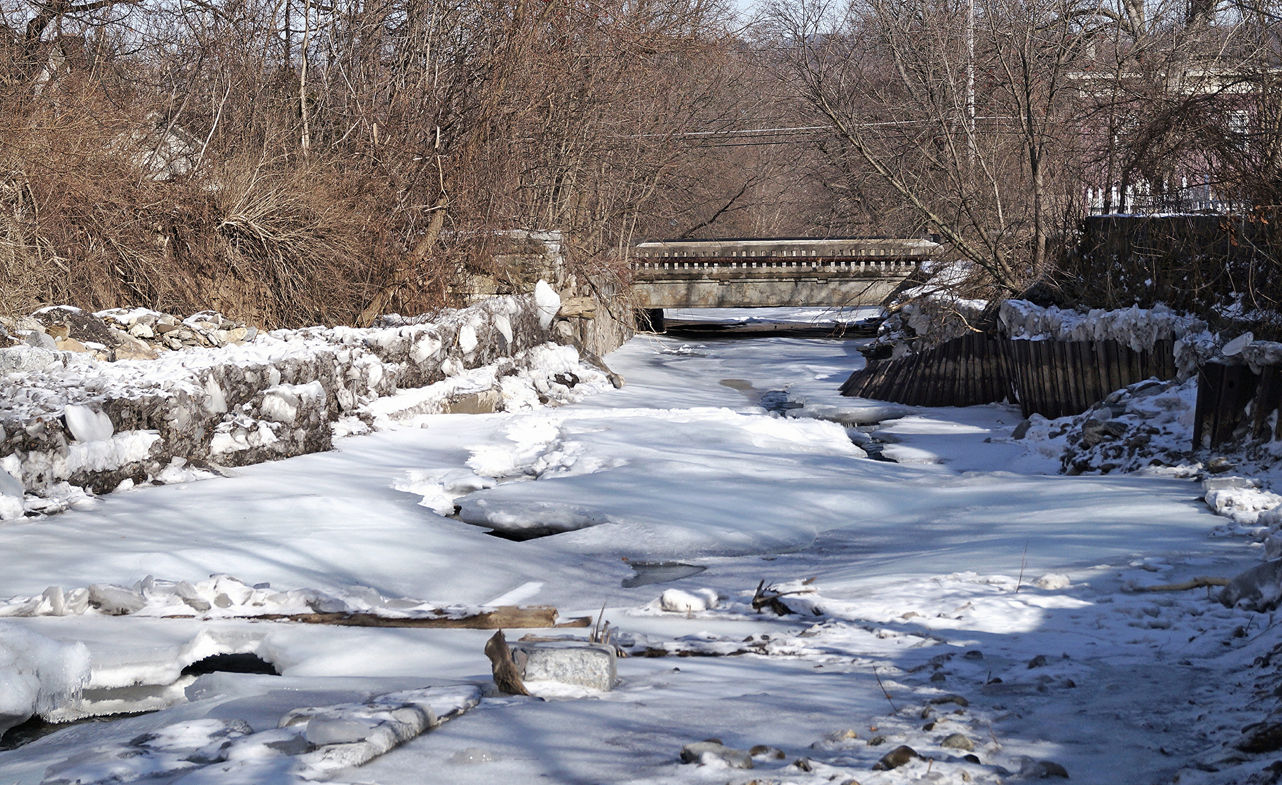
Frozen Moyer Creek

Bridge Over Spruce Creek
West Canada Creek
Lighting The Landscape
I want to believe
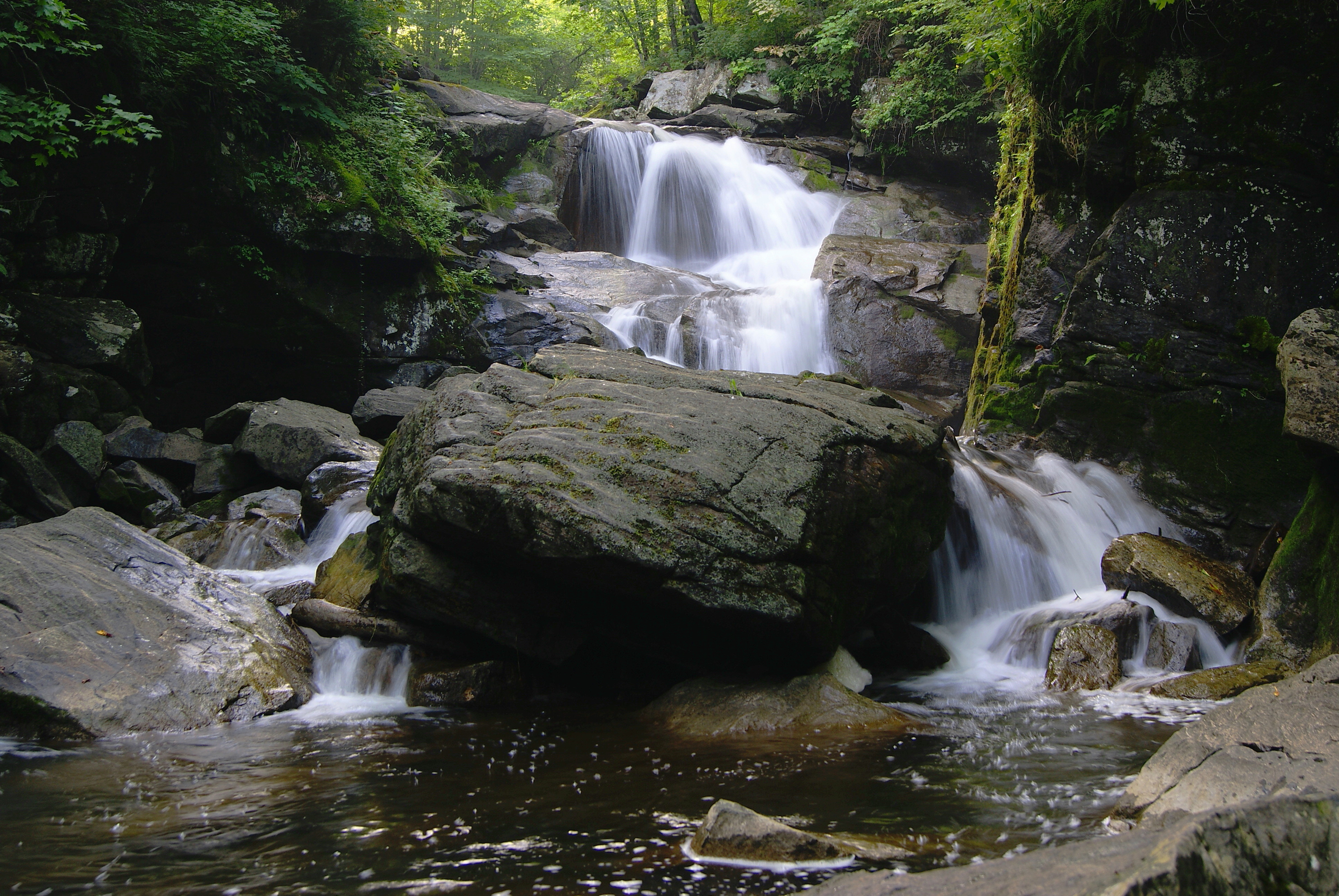
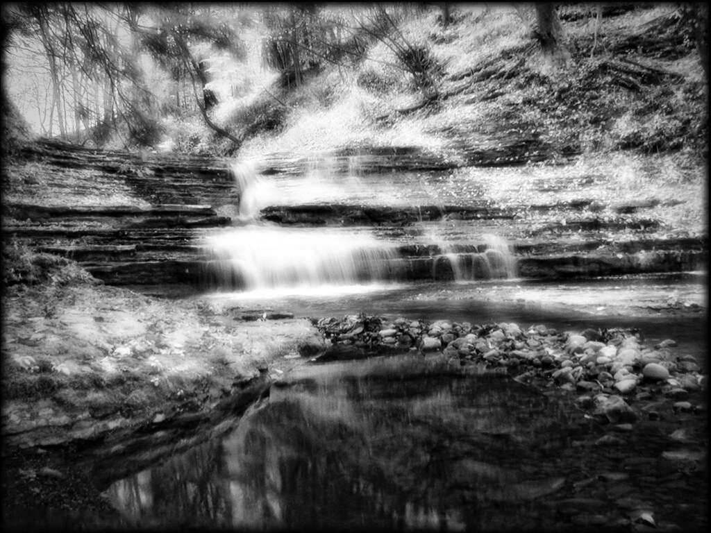
Faville Falls
West Shore Railroad Bridge, Ilion, NY
Moss Island Beauty
Muddy Waters
NY Falls Pool
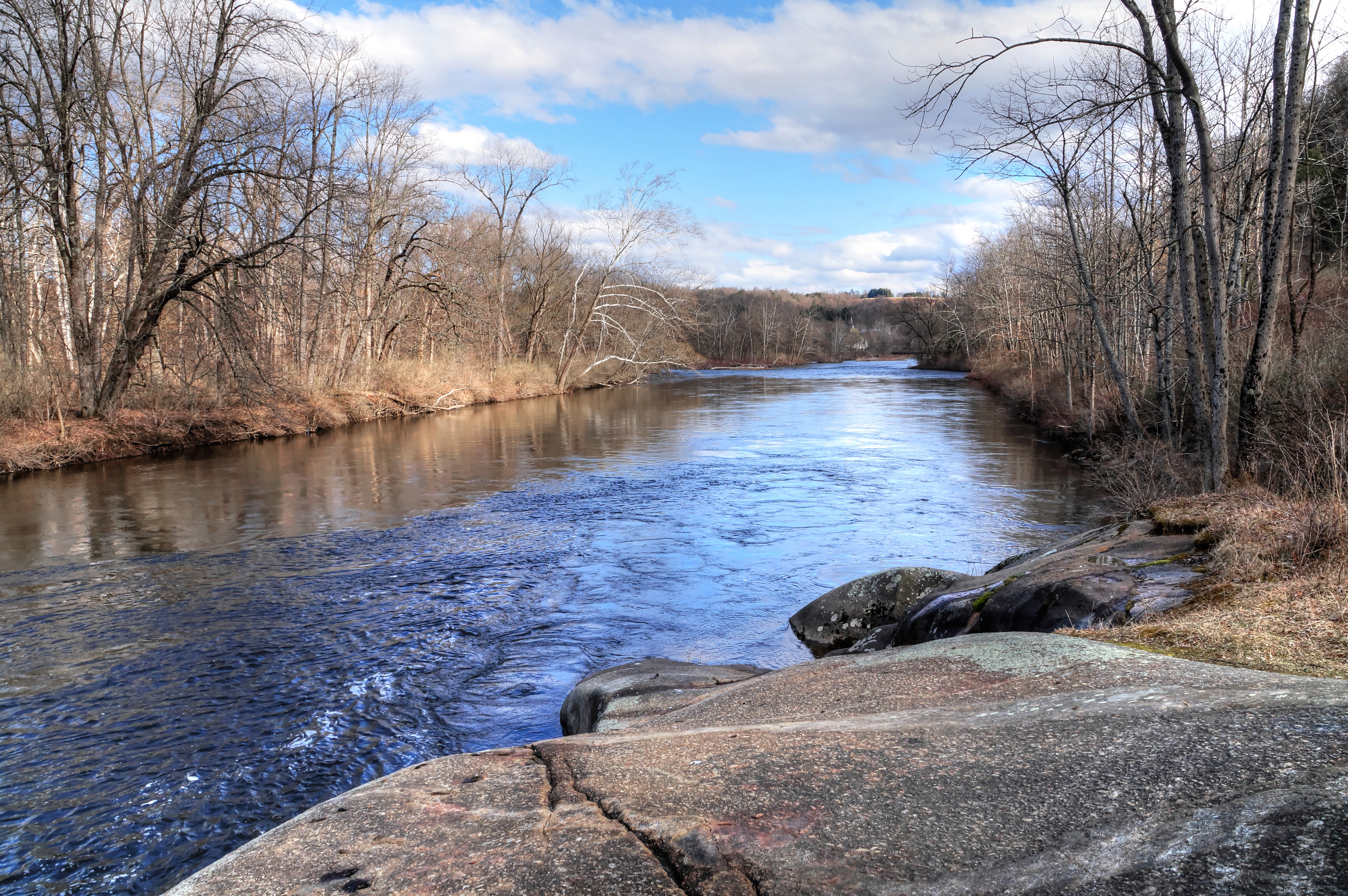
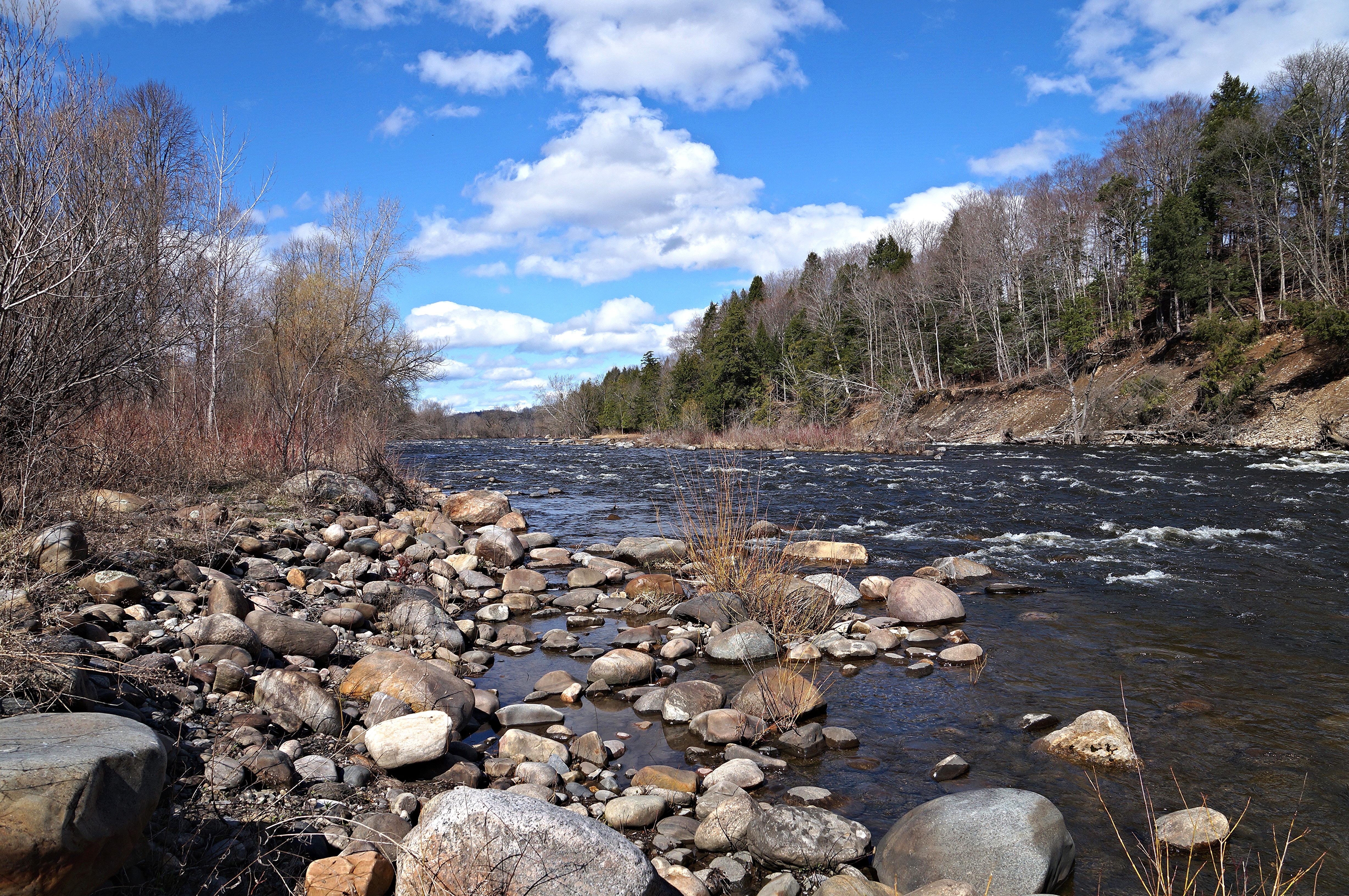
The Beauty Of The West Canada Creek

A Peaceful River
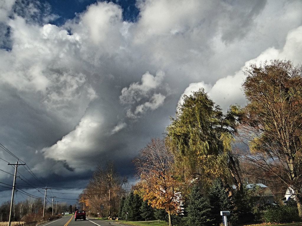
Rough weather coming.
PA172128.jpg

Hydro Power getting bypassed
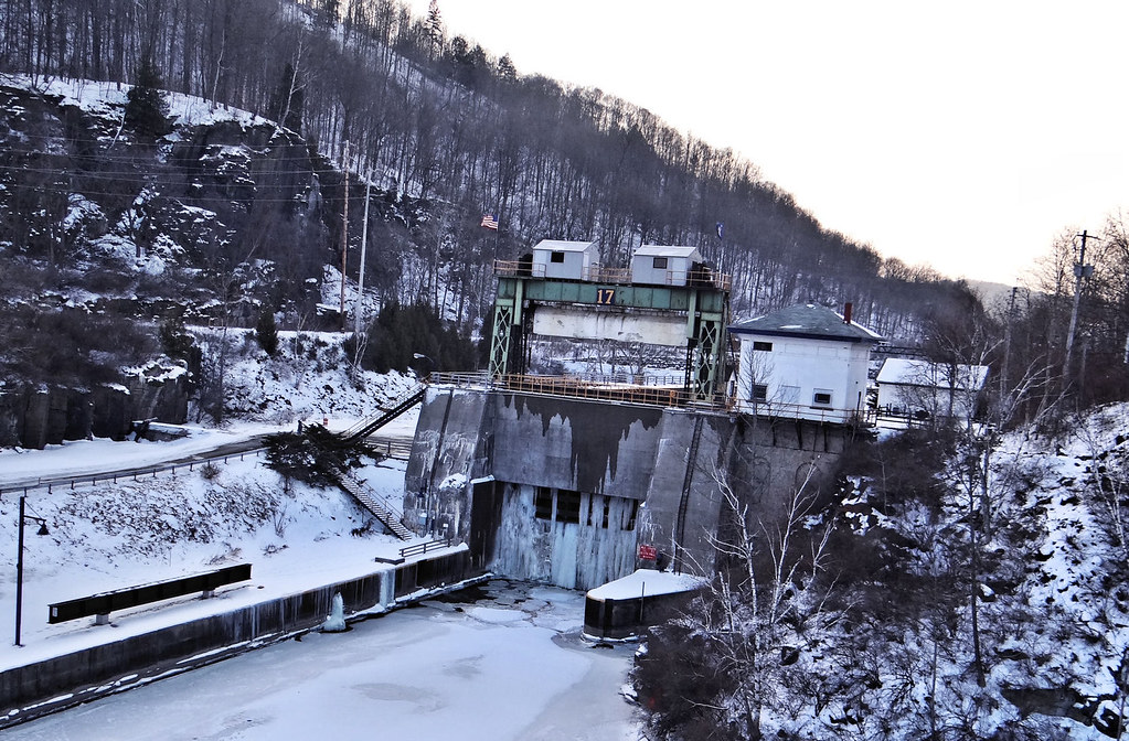
Frozen Lock 17 Little Falls NY
Topographic Map of Fairfield, NY, USA
Find elevation by address:

Places in Fairfield, NY, USA:
Places near Fairfield, NY, USA:
Casler Road
Middleville
206 Reservoir Rd
37 N Main St
Fairfield
1323 Co Rd 142
Voelkle Road
Teall Road
Barto Hill
374 Summit Rd
357 Cole Rd
Norway
Snyder Fuel Service Inc
Newport
1772 Co Rd 36
1689 Co Rd 36
226 Black Creek Rd
1755 Dairy Hill Rd
690 Minots Corner Rd
Newport
Recent Searches:
- Elevation of Hercules Dr, Colorado Springs, CO, USA
- Elevation of Szlak pieszy czarny, Poland
- Elevation of Griffing Blvd, Biscayne Park, FL, USA
- Elevation of Kreuzburger Weg 13, Düsseldorf, Germany
- Elevation of Gateway Blvd SE, Canton, OH, USA
- Elevation of East W.T. Harris Boulevard, E W.T. Harris Blvd, Charlotte, NC, USA
- Elevation of West Sugar Creek, Charlotte, NC, USA
- Elevation of Wayland, NY, USA
- Elevation of Steadfast Ct, Daphne, AL, USA
- Elevation of Lagasgasan, X+CQH, Tiaong, Quezon, Philippines