Elevation of Village View Way, Missoula, MT, USA
Location: United States > Montana > Missoula County > Missoula > Moose Can Gully >
Longitude: -114.02903
Latitude: 46.8220861
Elevation: 1046m / 3432feet
Barometric Pressure: 89KPa
Elevation Map:
Satellite Map:
Related Photos:

I ♥ You - Missoula, MT

Stand Out In A Crowd - Missoula, MT

The Accused - Missoula, MT

On The Brink - Missoula, MT
Week 1 - Sunset on the Clark Fork
Missoula Montana 2014
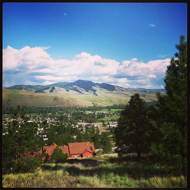
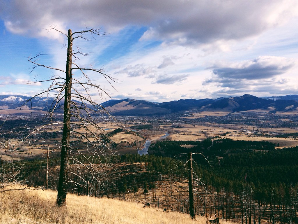
The View
Overpass Overlook

Glowing Missoula

View from the top
View for Two
Looking across the Clark Fork towards the Wilma Theatre and Caras Park. Missoula.

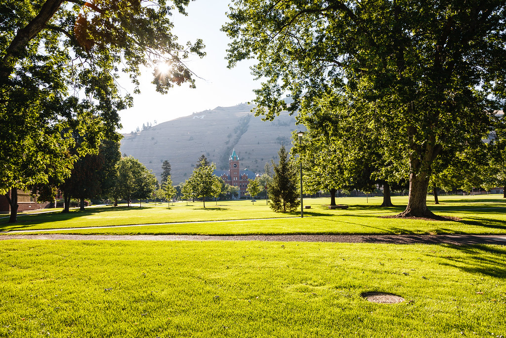
View down Ryman Mall towards Main Hall.

Pengelly Ridge view, from my morning run over Mount Sentinel
Rainbow over Missoula
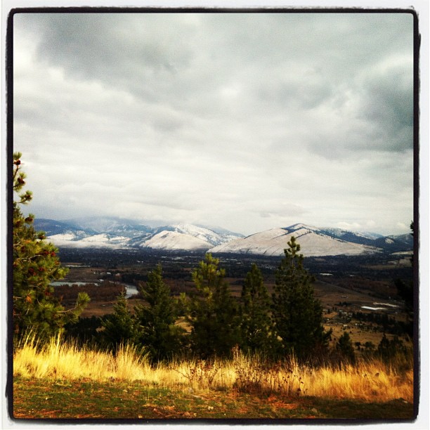
View of the baking Missoula Valley #montanamoment

Winter SG&O RR
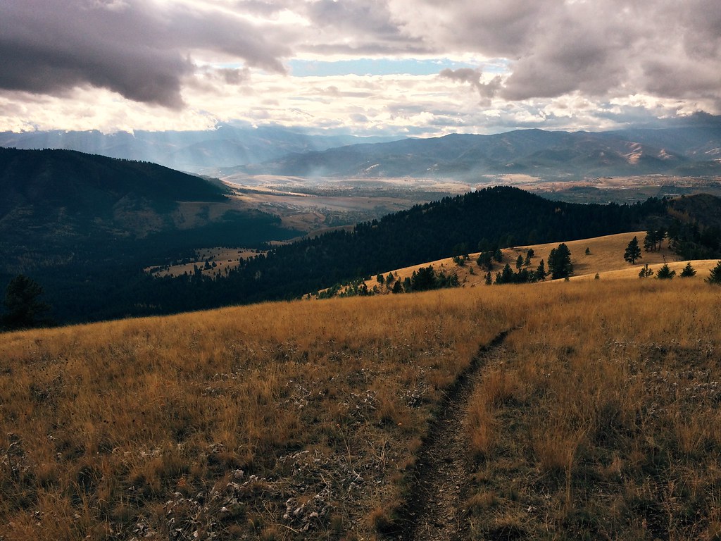
View from the top of UnStop Hill
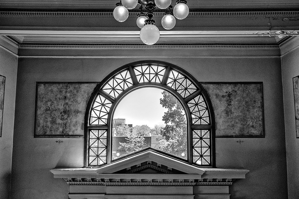
Arch View

Che in the Service of Zombie Fighters
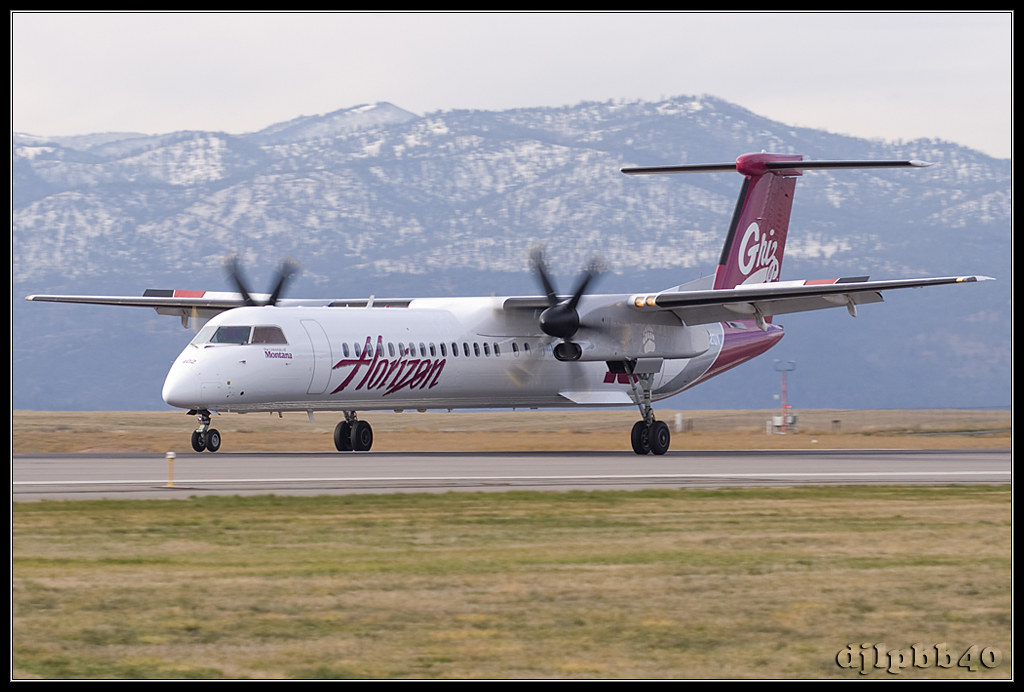
KMSO Horizon Air De Havilland Canada DHC-8-401Q Dash 8 "University of Montana Griz" N402QX
Montana 2012-69

Wildfire sunset, full moon rise on my twilight trail run
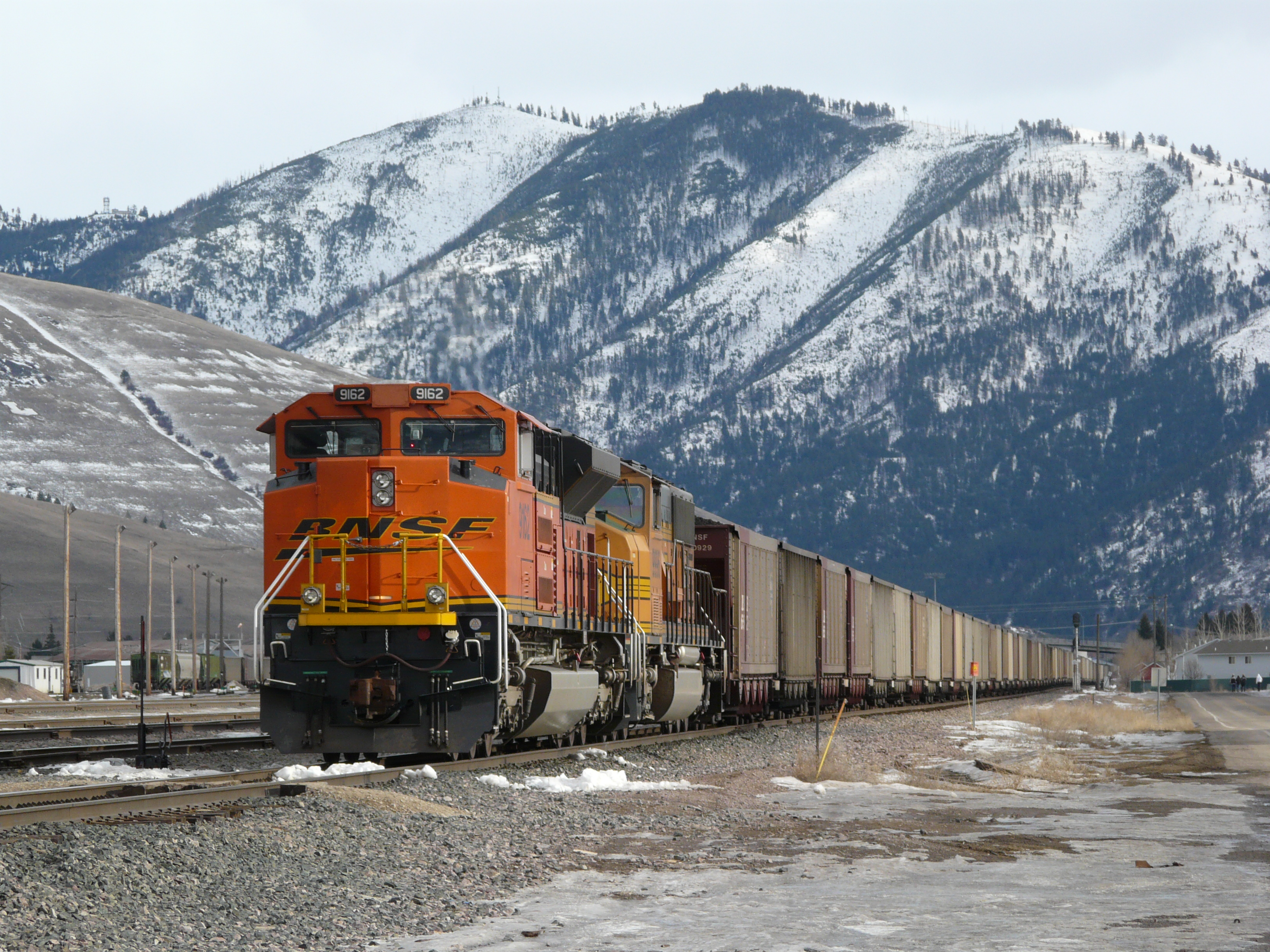
West bound coal 1-31-09
After the melt
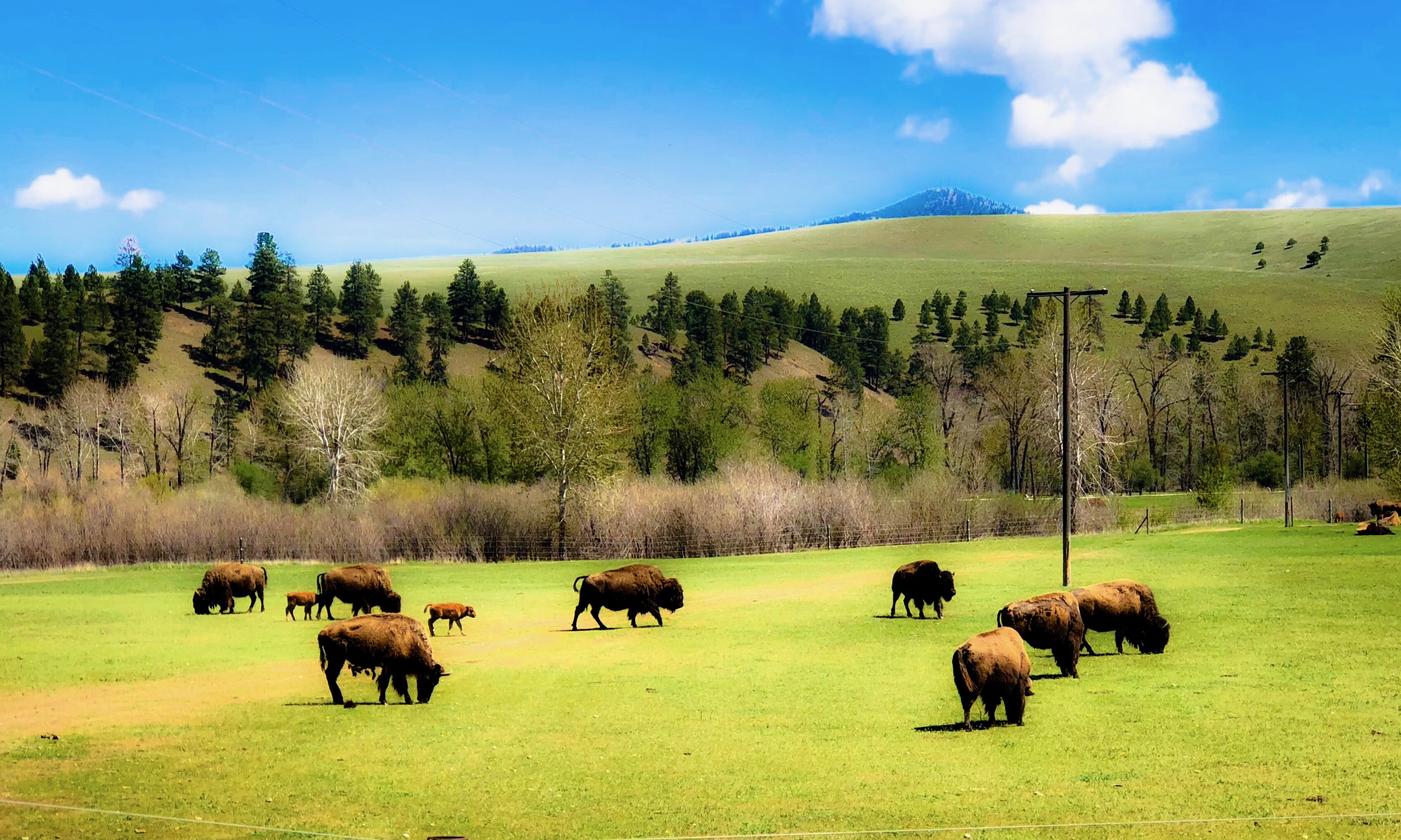
Buffalo Junction
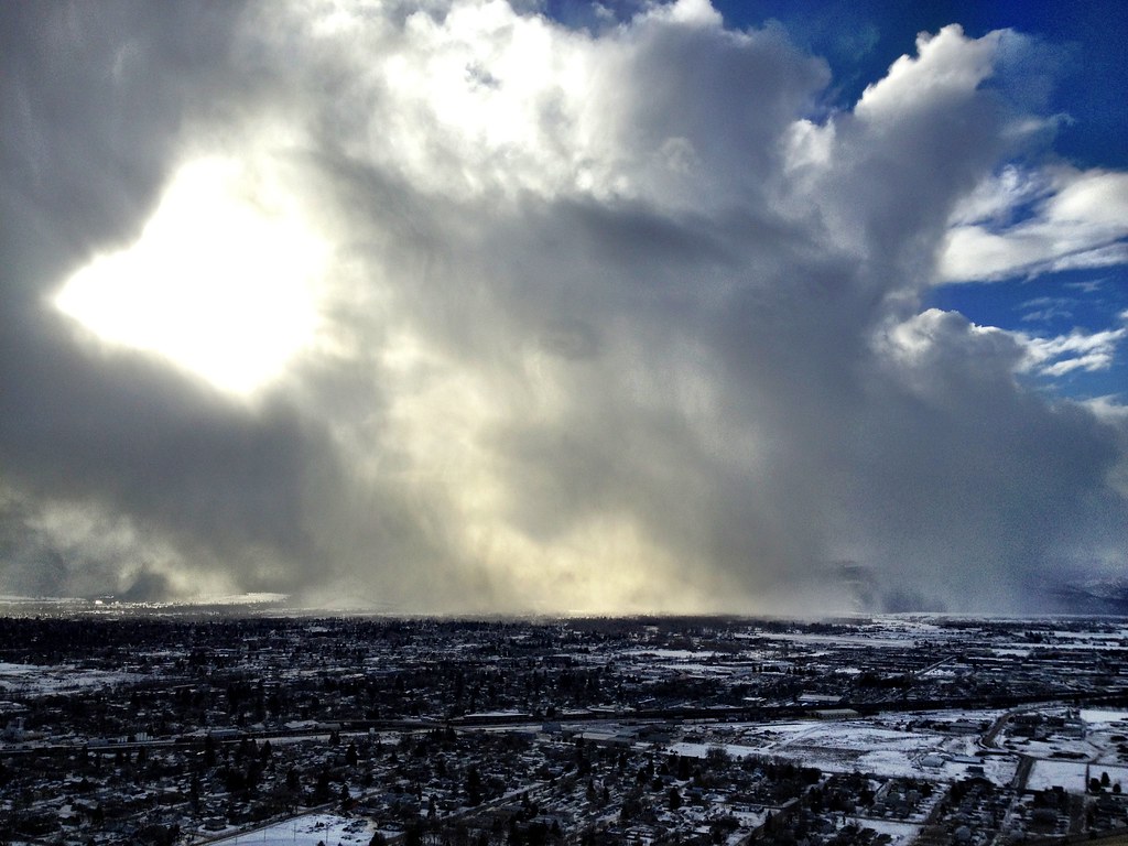
Afternoon squall
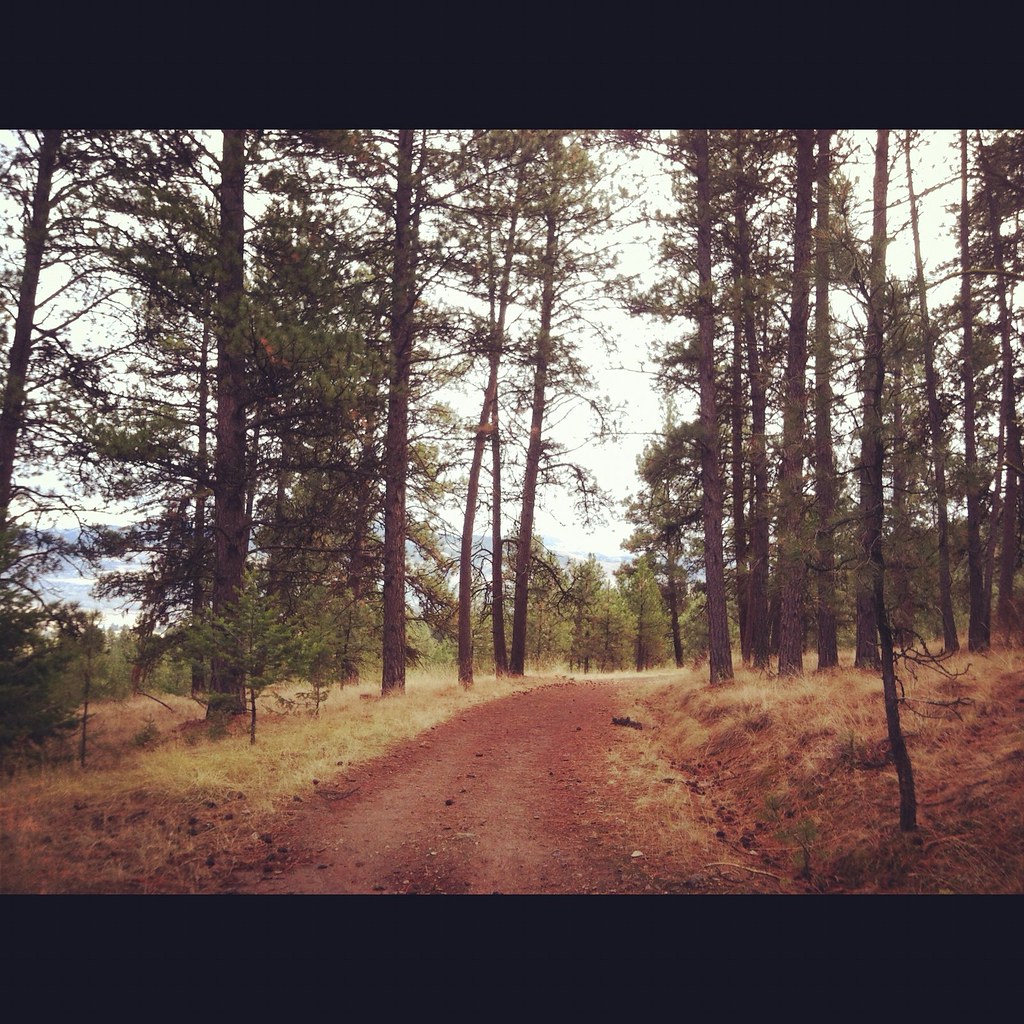
Blue Mountain Trail
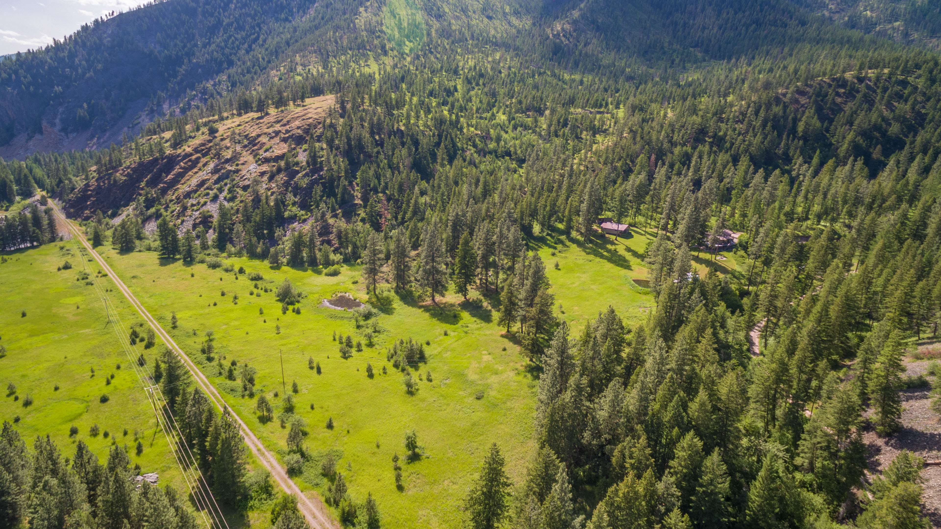
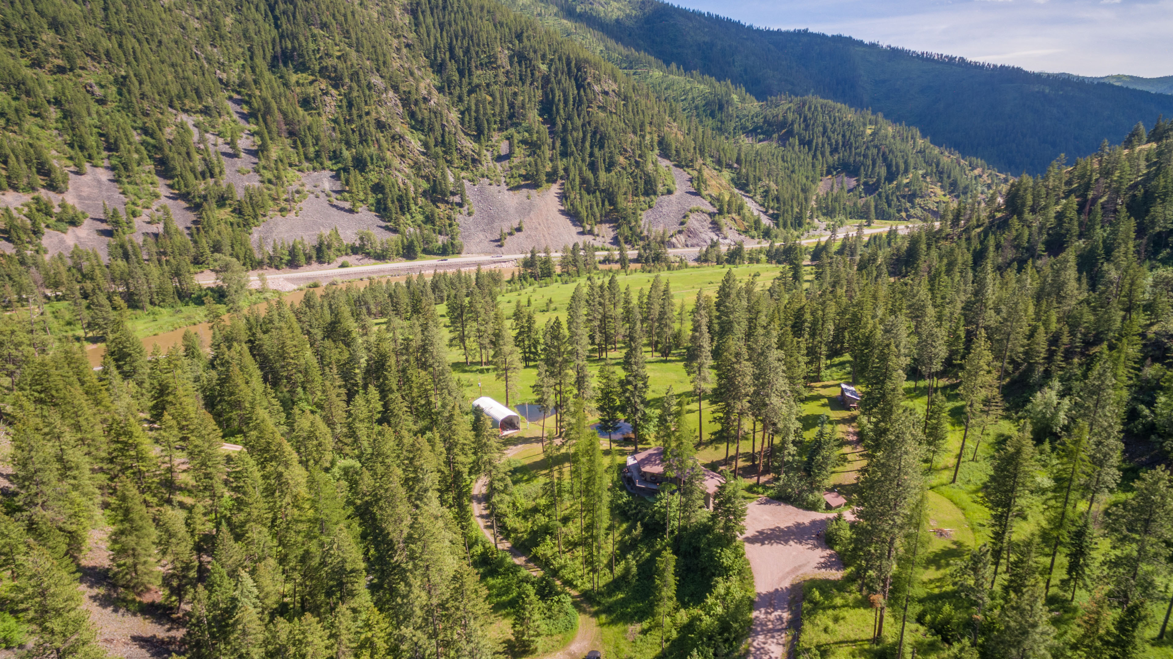
DJI_0116-HDR
First snow in the valley came last night
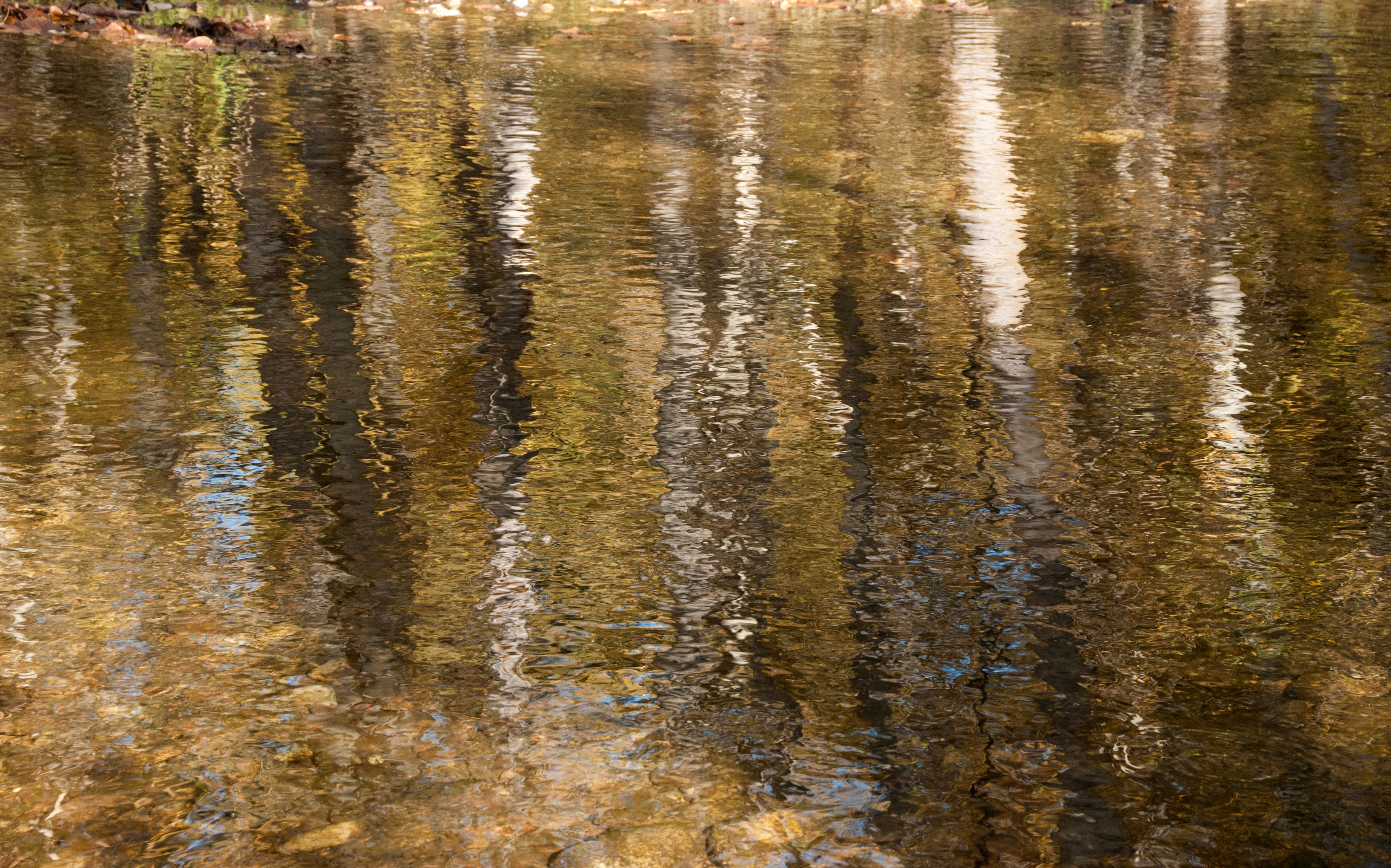
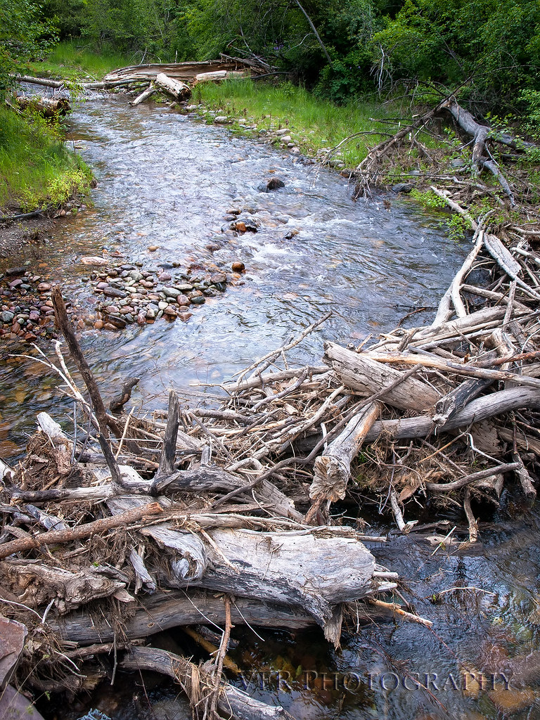
Lolo Creek Reflection
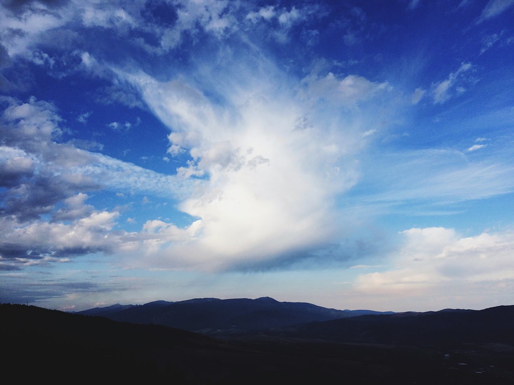
Storm clouds seen from the North Hills
Lolo Creek
Golden Hour part 2
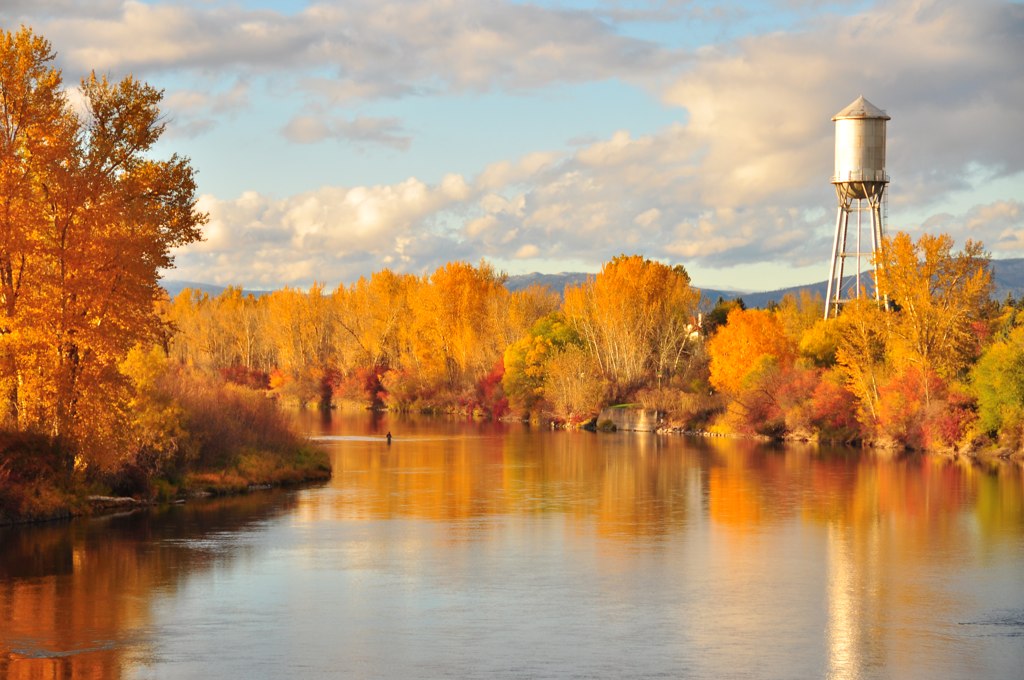
Clark Fork Crossing
Nice light on an afternoon run up to the beacon
Morning cloud above Lolo Peak, from Mount Sentinel
Bitterroot River
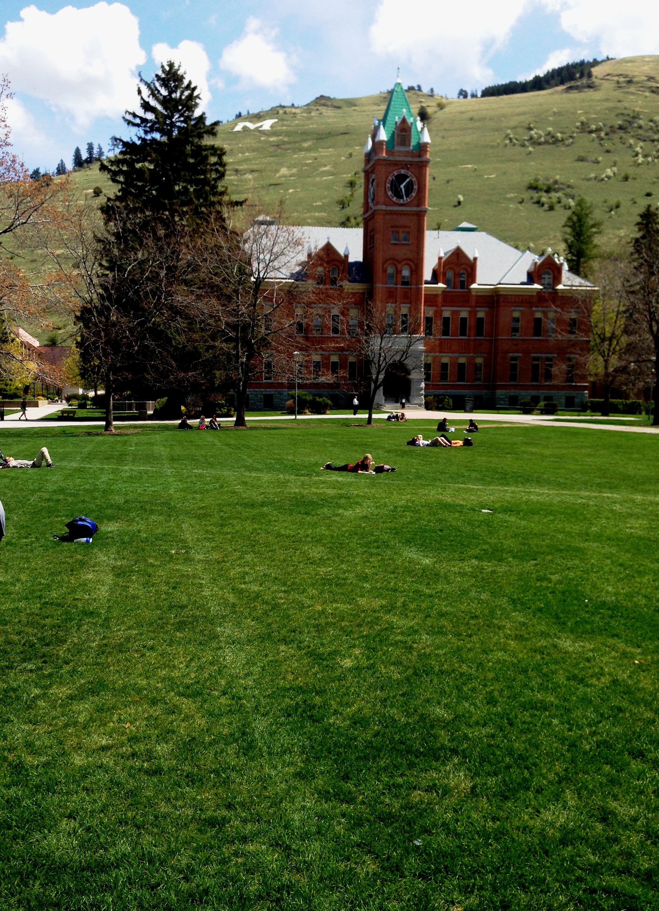
Main Hall
DJI_0096-HDR
Nice day to run the old Blue Mountain burn
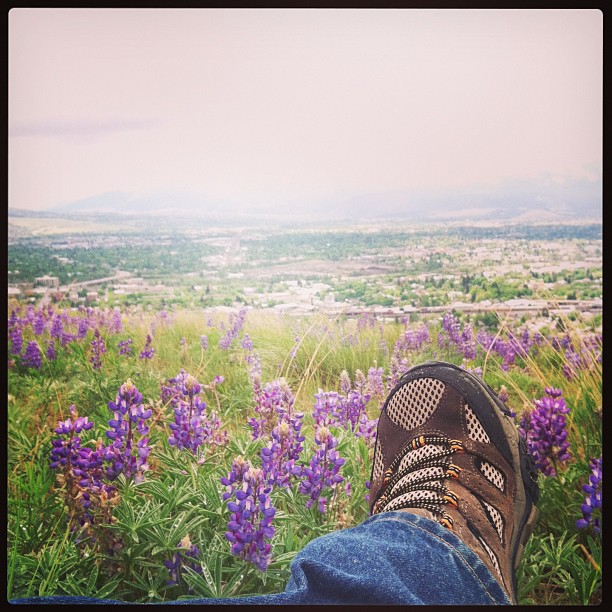
In the lupines
Topographic Map of Village View Way, Missoula, MT, USA
Find elevation by address:

Places near Village View Way, Missoula, MT, USA:
5110 Village View Way
Moose Can Gully
108 W Foss Ct
2335 56th St
Skyview Drive
6006 Mainview Dr
2810 Lorraine Dr
3100 Loraine Dr
City Life Paintball
Lewis And Clark
6800 Linda Vista Blvd
2000 S Russell St
223 Sentinel St
221 Sentinel St
3546 Rodeo Rd
9250 Miller Creek Rd
2600 S Higgins Ave
826 Longstaff St
Rose Park
3105 Evans Ridge Rd
Recent Searches:
- Elevation of Elwyn Dr, Roanoke Rapids, NC, USA
- Elevation of Congressional Dr, Stevensville, MD, USA
- Elevation of Bellview Rd, McLean, VA, USA
- Elevation of Stage Island Rd, Chatham, MA, USA
- Elevation of Shibuya Scramble Crossing, 21 Udagawacho, Shibuya City, Tokyo -, Japan
- Elevation of Jadagoniai, Kaunas District Municipality, Lithuania
- Elevation of Pagonija rock, Kranto 7-oji g. 8"N, Kaunas, Lithuania
- Elevation of Co Rd 87, Jamestown, CO, USA
- Elevation of Tenjo, Cundinamarca, Colombia
- Elevation of Côte-des-Neiges, Montreal, QC H4A 3J6, Canada