Elevation of Vilayat, Gujarat, India
Location: India > Gujarat >
Longitude: 72.8810859
Latitude: 21.7646995
Elevation: 13m / 43feet
Barometric Pressure: 101KPa
Elevation Map:
Satellite Map:
Related Photos:
CSP_6594.JPG
CSP_6620.JPG
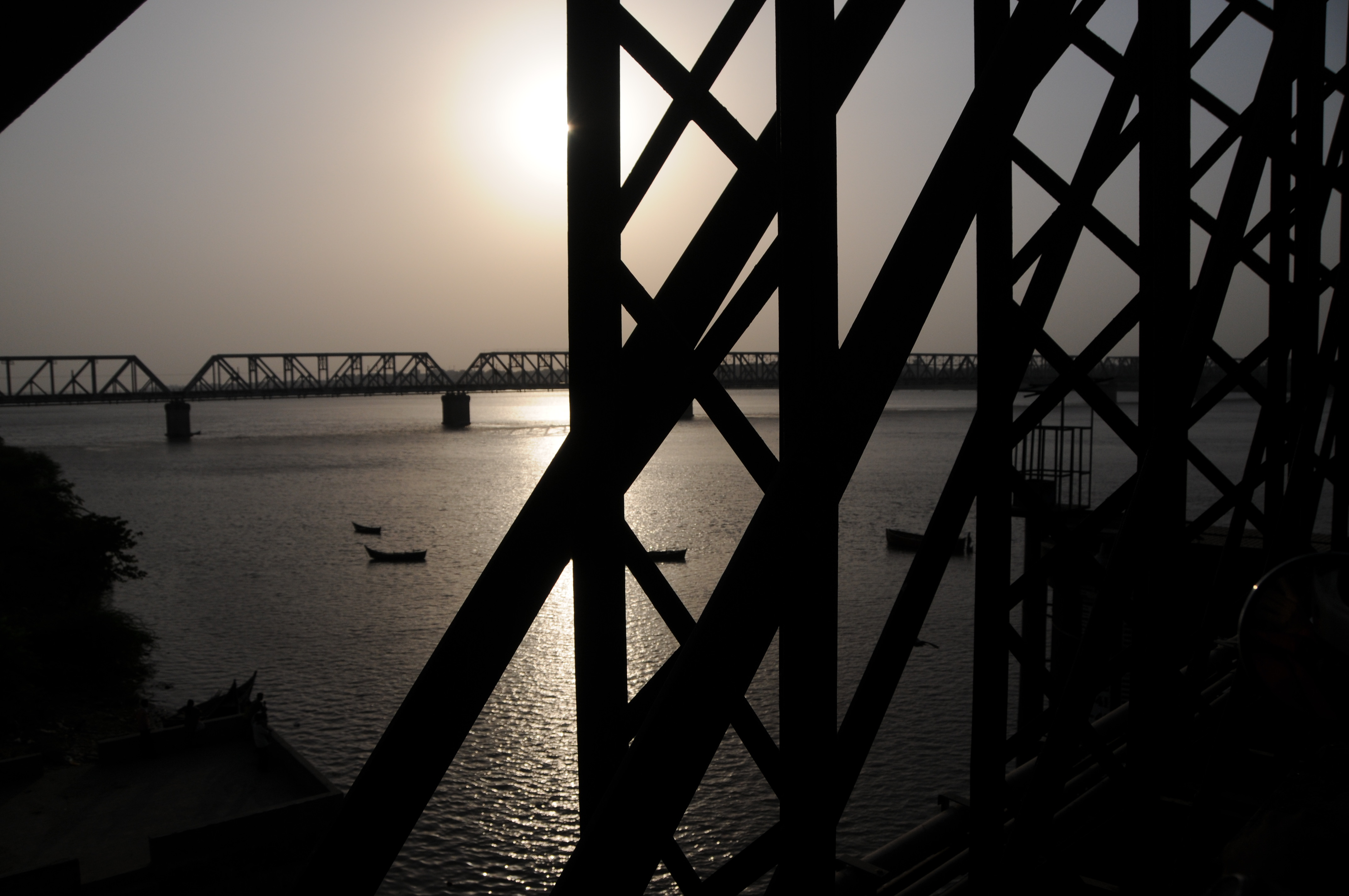
Bharuch, Gujarat
CSP_6591.JPG
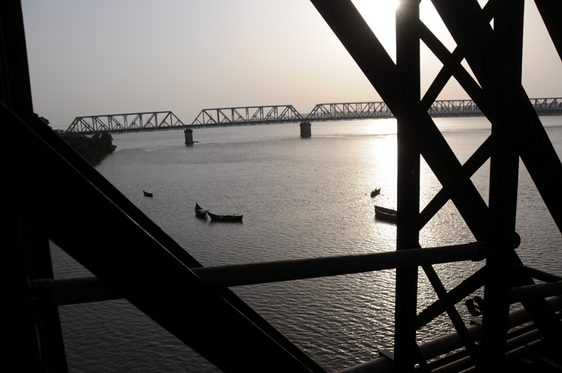
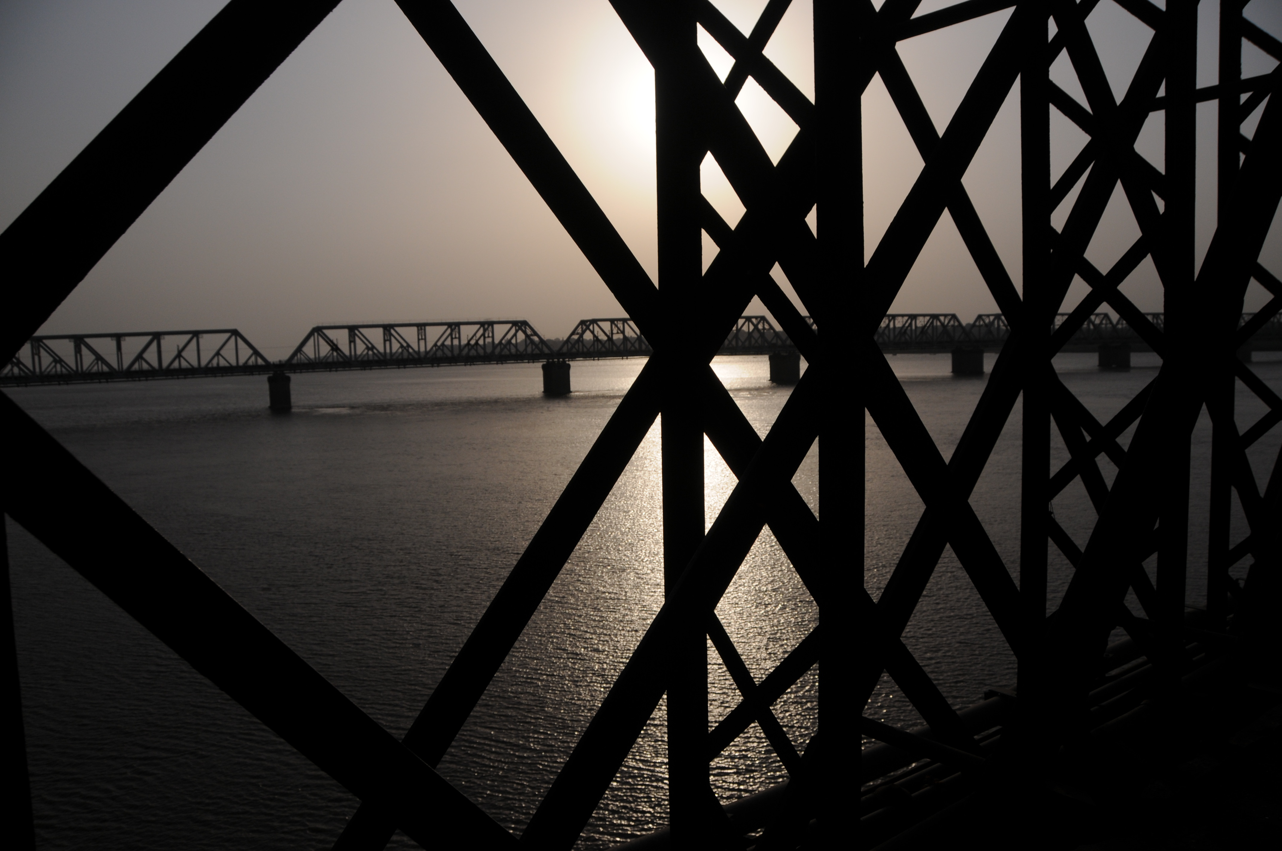
Bharuch, Gujarat
CSP_6592.JPG
CSP_6603.JPG
CSP_6611.JPG
CSP_6641.JPG
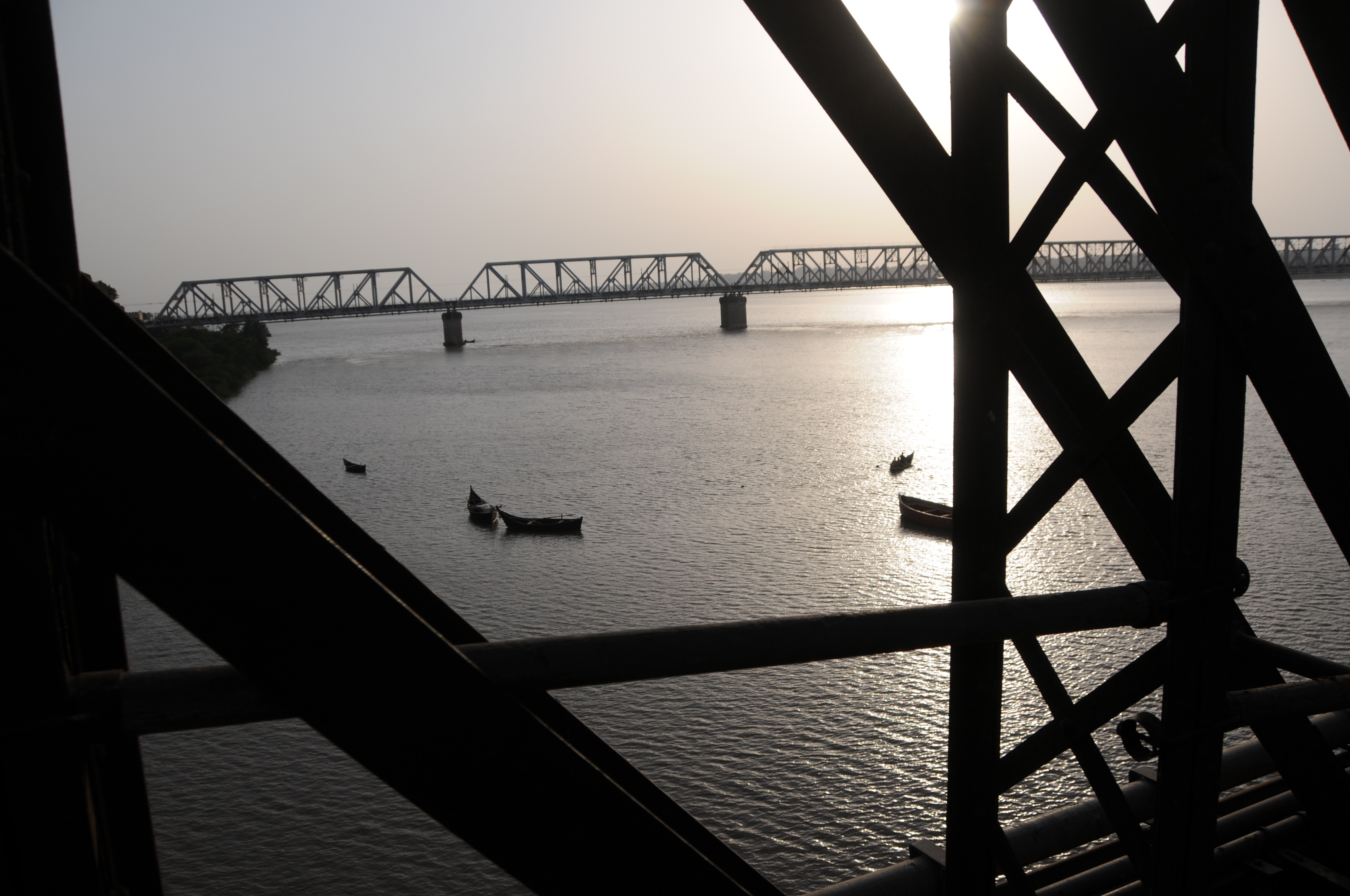
Bharuch, Gujarat
CSP_6631.JPG
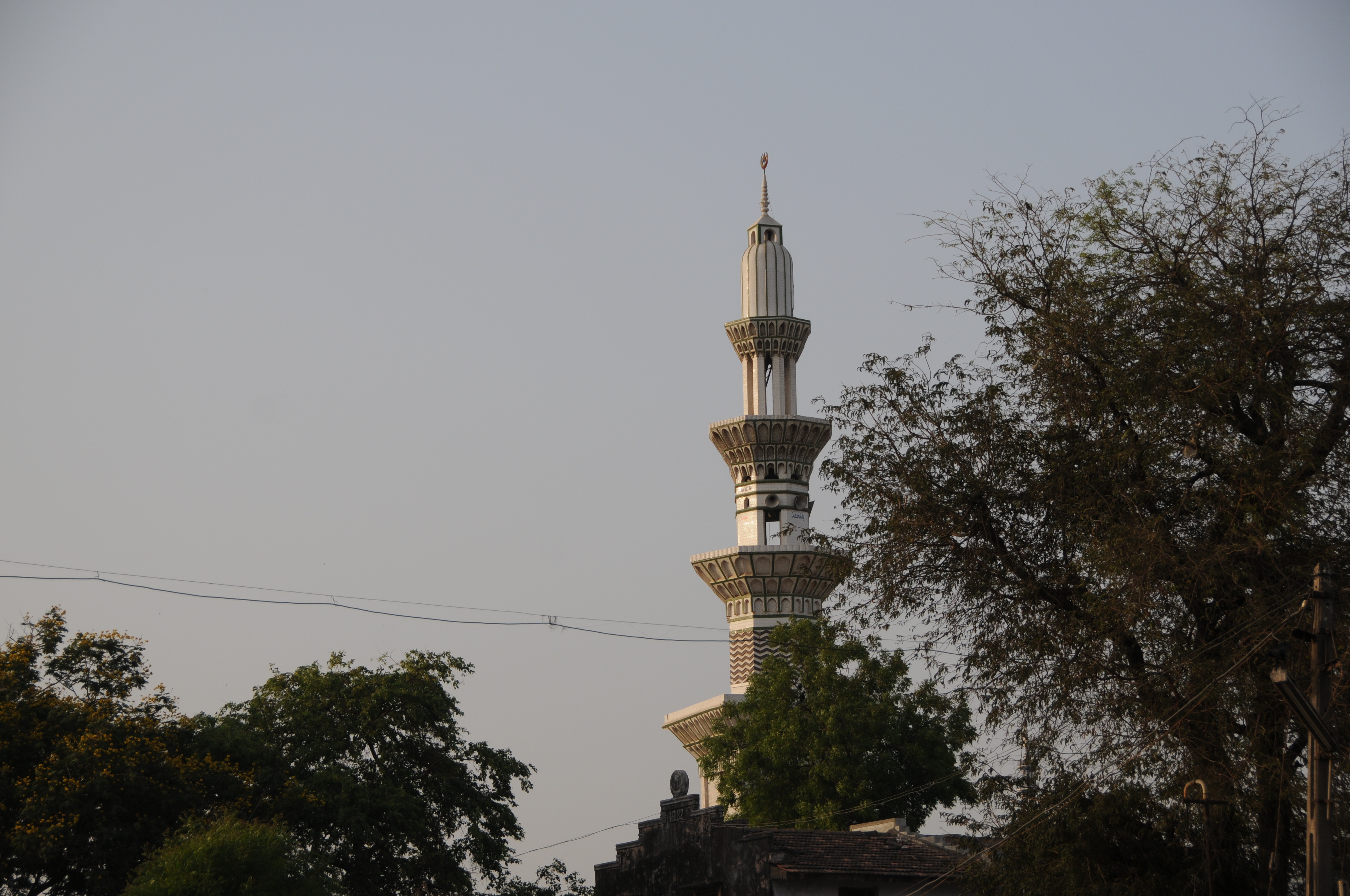
Maktampur, Gujarat
CSP_6632.JPG
CSP_6630.JPG

CSP_6633.JPG
CSP_6640.JPG
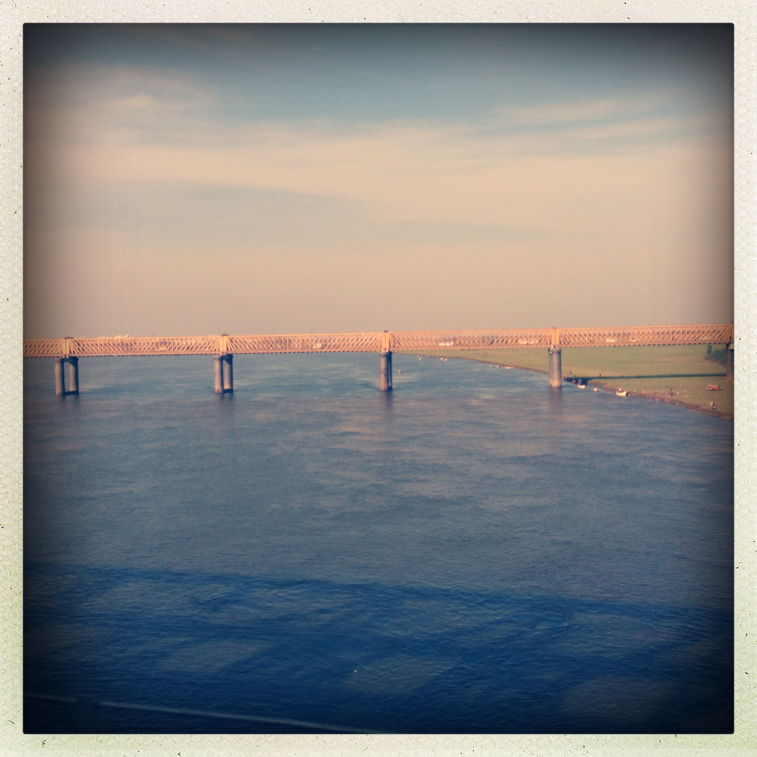
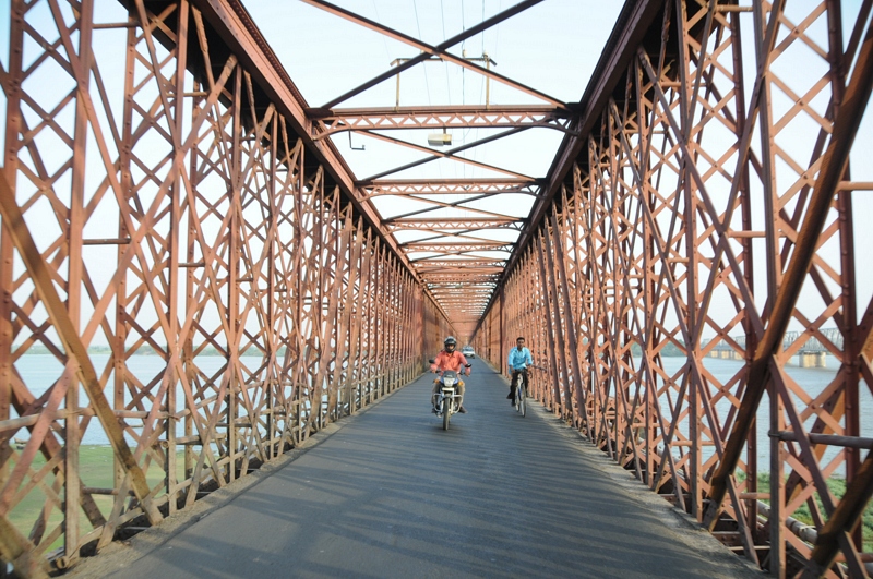
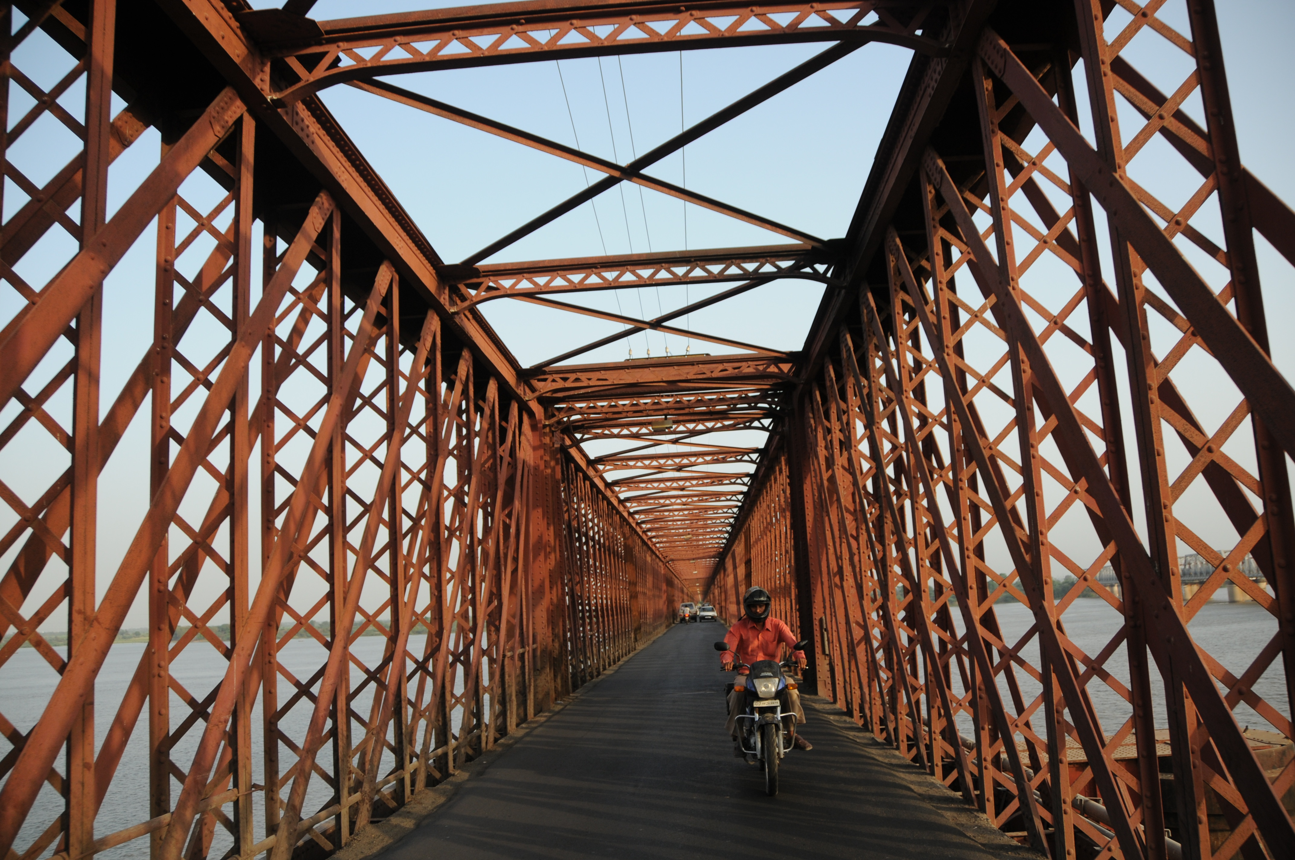
The Golden bridge
Topographic Map of Vilayat, Gujarat, India
Find elevation by address:

Places near Vilayat, Gujarat, India:
Sahera
Surat
Surat
Chatrapati Shivaji Nagar
Chatrapati Shivaji Marg
S K Nagar
Adajan Gam
Majura Gate
Dr.s.&s.s.ghandhy College Of Engineering & Technology (diploma College )
Surat
Narottam Nagar
Navagam
Rd Complex
Gawara Tower
Vasda Wad
Khambhat
Rana Chakla
Pratham Bluets
Anand
Bardoli
Recent Searches:
- Elevation of Lampiasi St, Sarasota, FL, USA
- Elevation of Elwyn Dr, Roanoke Rapids, NC, USA
- Elevation of Congressional Dr, Stevensville, MD, USA
- Elevation of Bellview Rd, McLean, VA, USA
- Elevation of Stage Island Rd, Chatham, MA, USA
- Elevation of Shibuya Scramble Crossing, 21 Udagawacho, Shibuya City, Tokyo -, Japan
- Elevation of Jadagoniai, Kaunas District Municipality, Lithuania
- Elevation of Pagonija rock, Kranto 7-oji g. 8"N, Kaunas, Lithuania
- Elevation of Co Rd 87, Jamestown, CO, USA
- Elevation of Tenjo, Cundinamarca, Colombia