Elevation of Sahera, Gujarat, India
Location: India > Gujarat > Vadodara >
Longitude: 73.0208376
Latitude: 22.0991808
Elevation: 20m / 66feet
Barometric Pressure: 101KPa
Elevation Map:
Satellite Map:
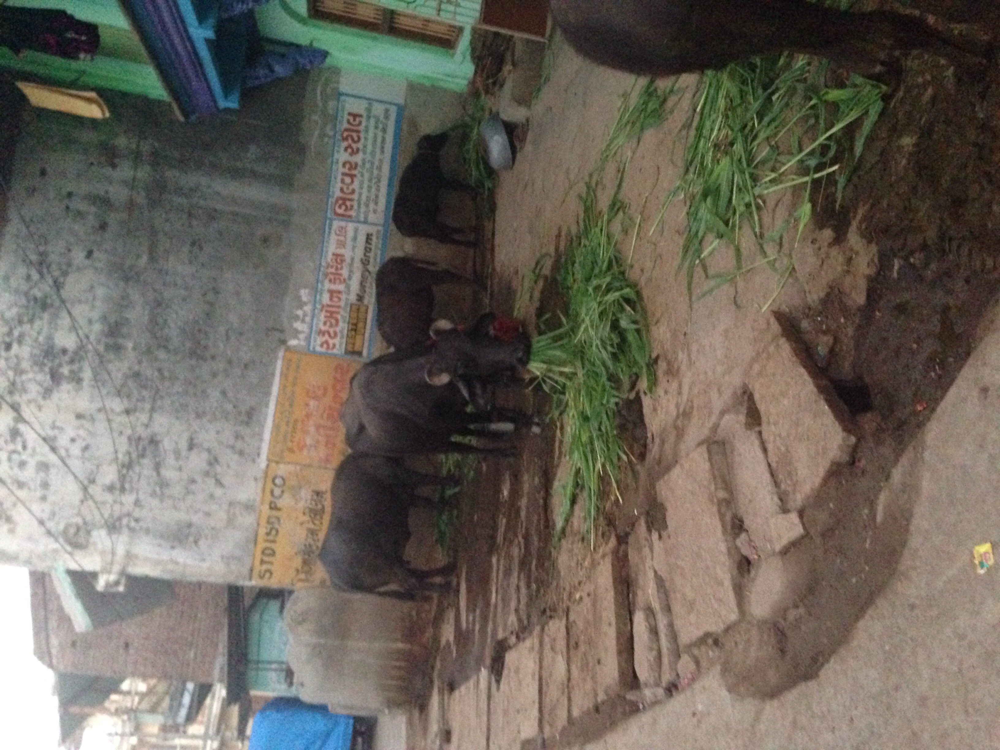
Related Photos:
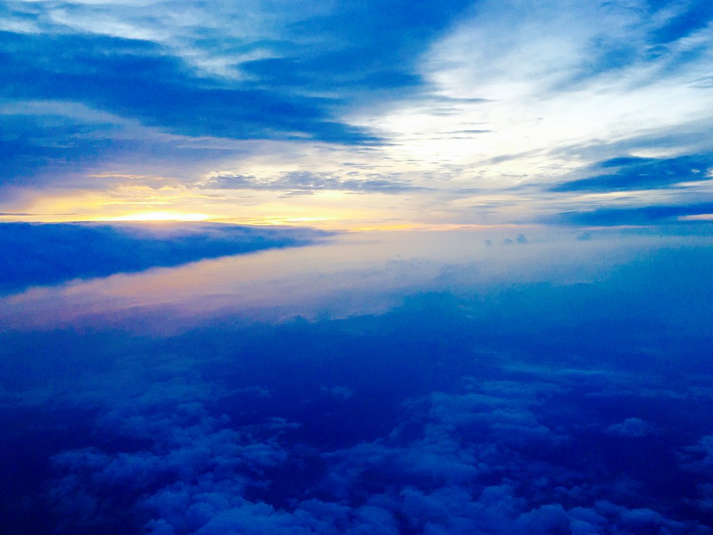
Arial View

Arial View
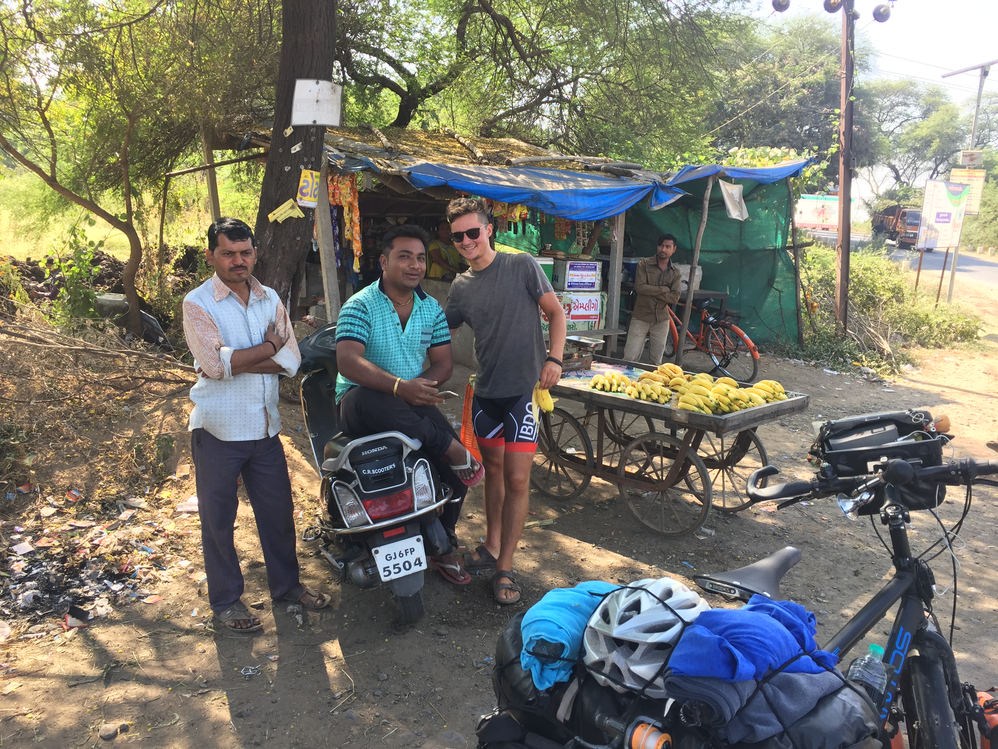
4 pcs Banana for 10 Rupees....
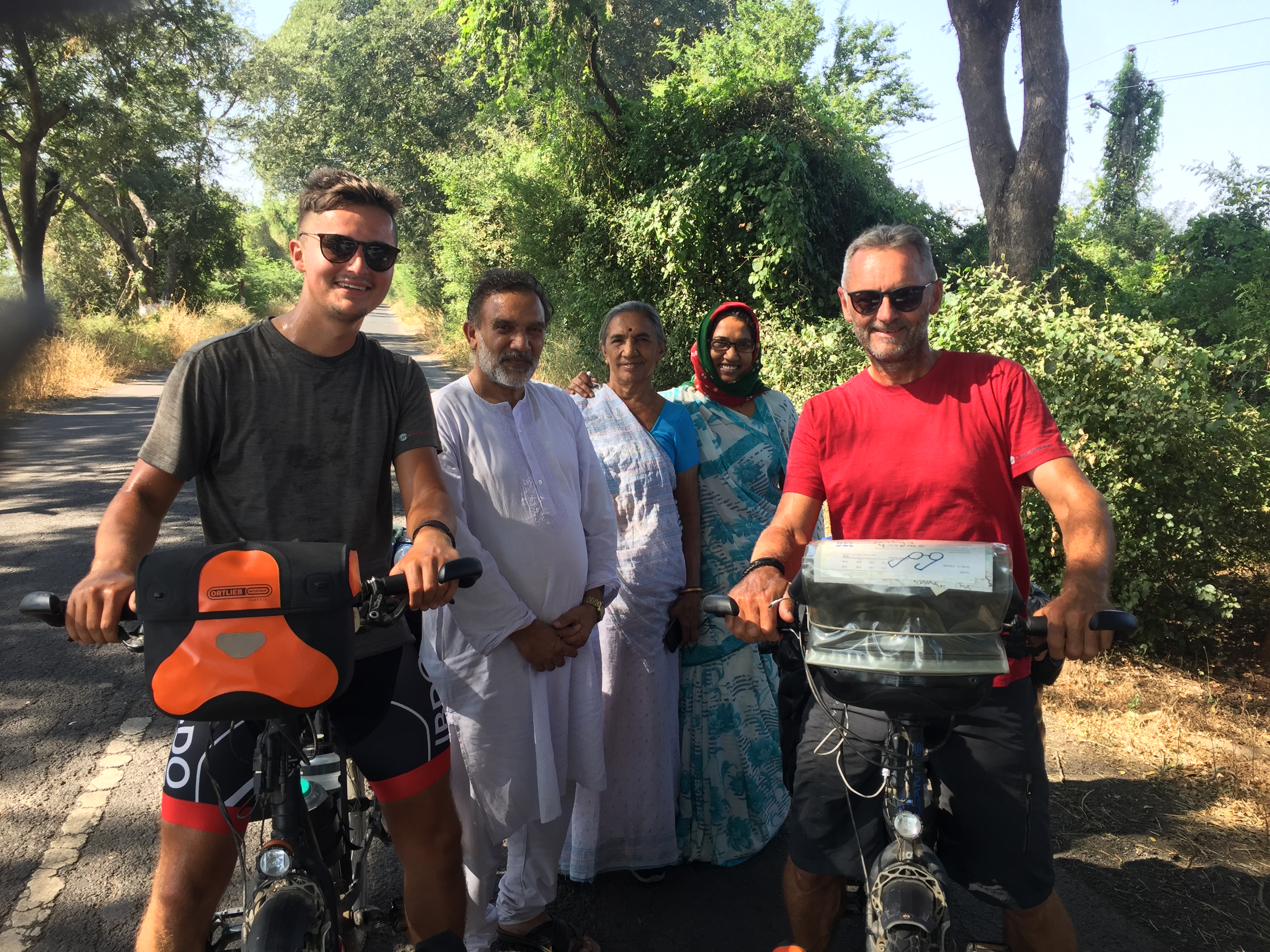
Selfie time

Baroda before dark

Vadodara Evening Sky

face beauty in law ???? #selfie #beauty #teen #beauty

face terror in law #selfie #kiddo #kid
From Lancaster to India!
Topographic Map of Sahera, Gujarat, India
Find elevation by address:

Places near Sahera, Gujarat, India:
Pratham Bluets
Vilayat
Gawara Tower
Vasda Wad
Rana Chakla
Khambhat
Anand
Surat
Surat
Chatrapati Shivaji Nagar
Chatrapati Shivaji Marg
S K Nagar
Bhavnagar
Majura Gate
Dr.s.&s.s.ghandhy College Of Engineering & Technology (diploma College )
Adajan Gam
Surat
Narottam Nagar
Navagam
Rd Complex
Recent Searches:
- Elevation of Elwyn Dr, Roanoke Rapids, NC, USA
- Elevation of Congressional Dr, Stevensville, MD, USA
- Elevation of Bellview Rd, McLean, VA, USA
- Elevation of Stage Island Rd, Chatham, MA, USA
- Elevation of Shibuya Scramble Crossing, 21 Udagawacho, Shibuya City, Tokyo -, Japan
- Elevation of Jadagoniai, Kaunas District Municipality, Lithuania
- Elevation of Pagonija rock, Kranto 7-oji g. 8"N, Kaunas, Lithuania
- Elevation of Co Rd 87, Jamestown, CO, USA
- Elevation of Tenjo, Cundinamarca, Colombia
- Elevation of Côte-des-Neiges, Montreal, QC H4A 3J6, Canada