Elevation of Vienna, GA, USA
Location: United States > Georgia > Dooly County >
Longitude: -83.795451
Latitude: 32.0915577
Elevation: 98m / 322feet
Barometric Pressure: 100KPa
Elevation Map:
Satellite Map:
Related Photos:

Georgia, Cordele, Coca-Cola (Gone) (15,146)
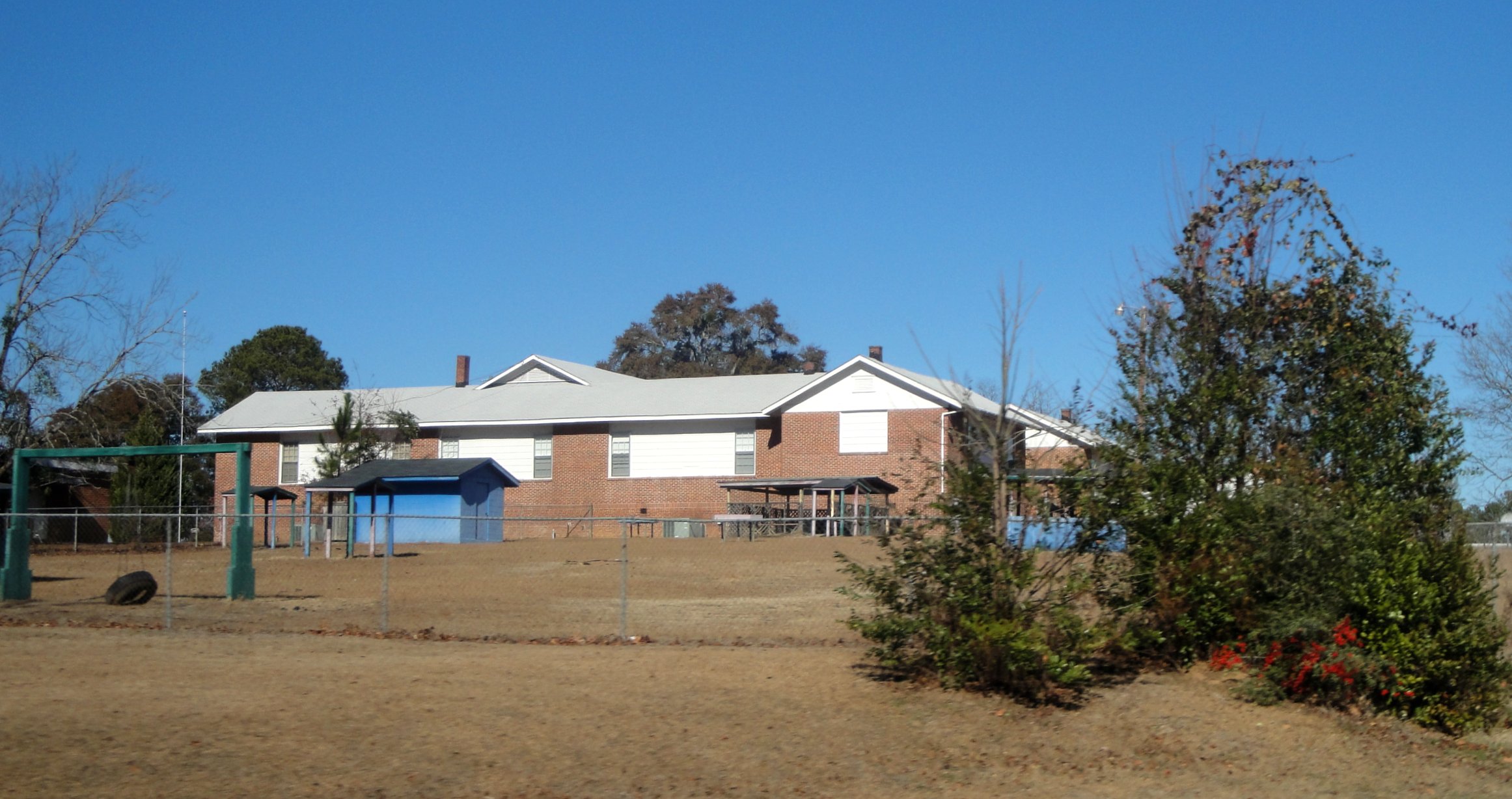
Vienna High & Industrial
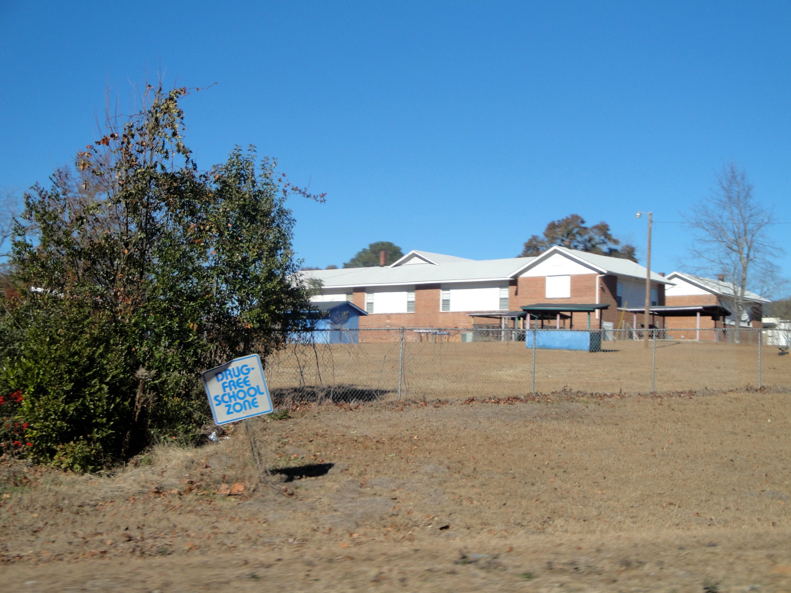
Vienna High & Industrial
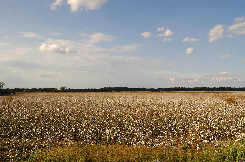
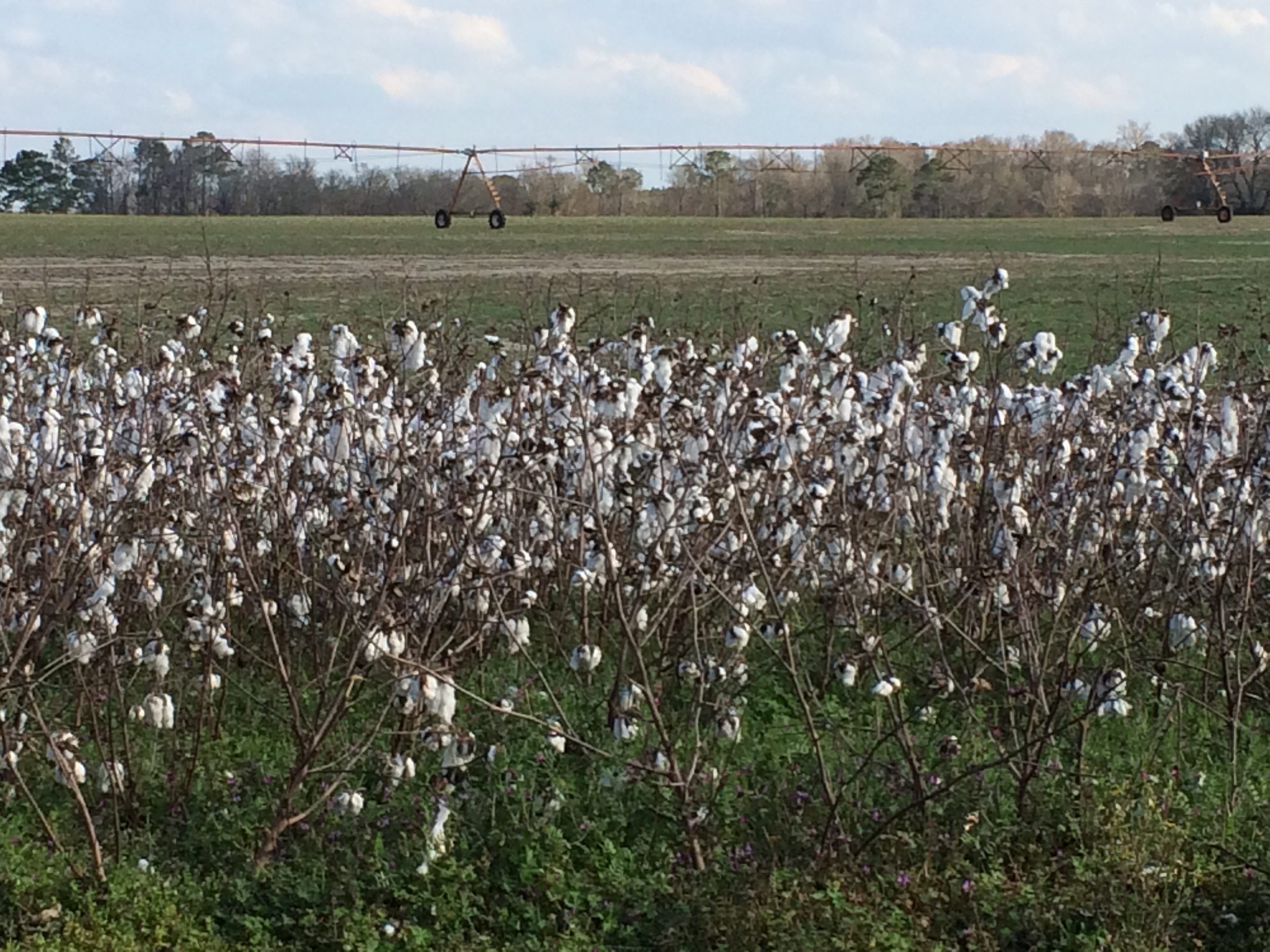
Cotton Field

01-20140310-8122-whaun.jpg
Georgia, Cordele, Cordele Drive-In Theater (8,561b)
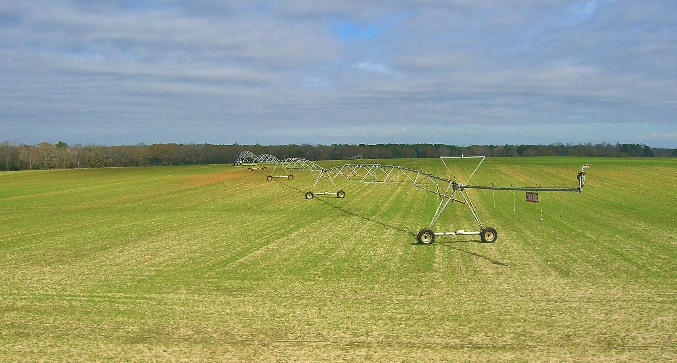
pivot, just N of Lilly
IMG_0443[1]
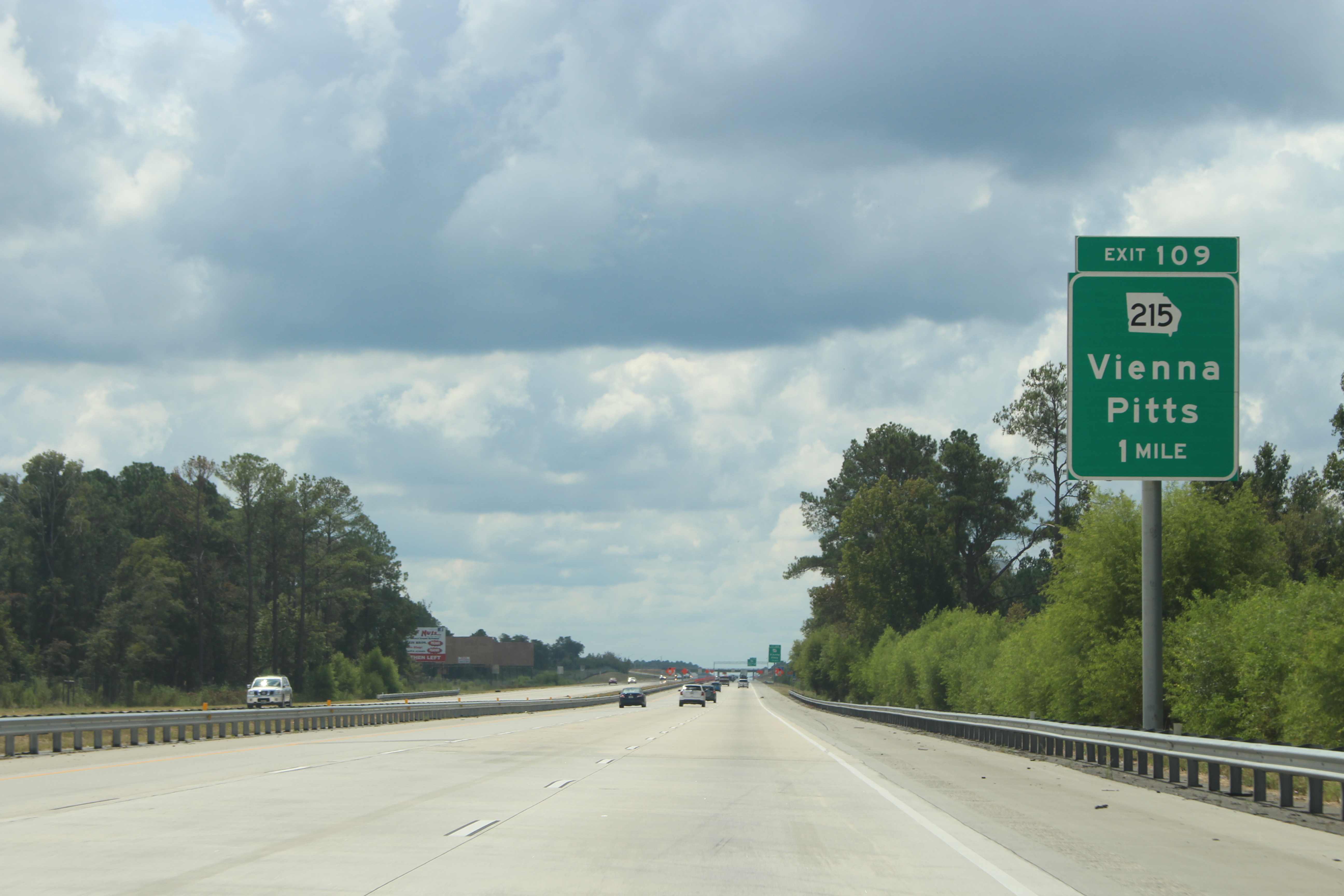
Georgia I75sb Exit 109 1 mile
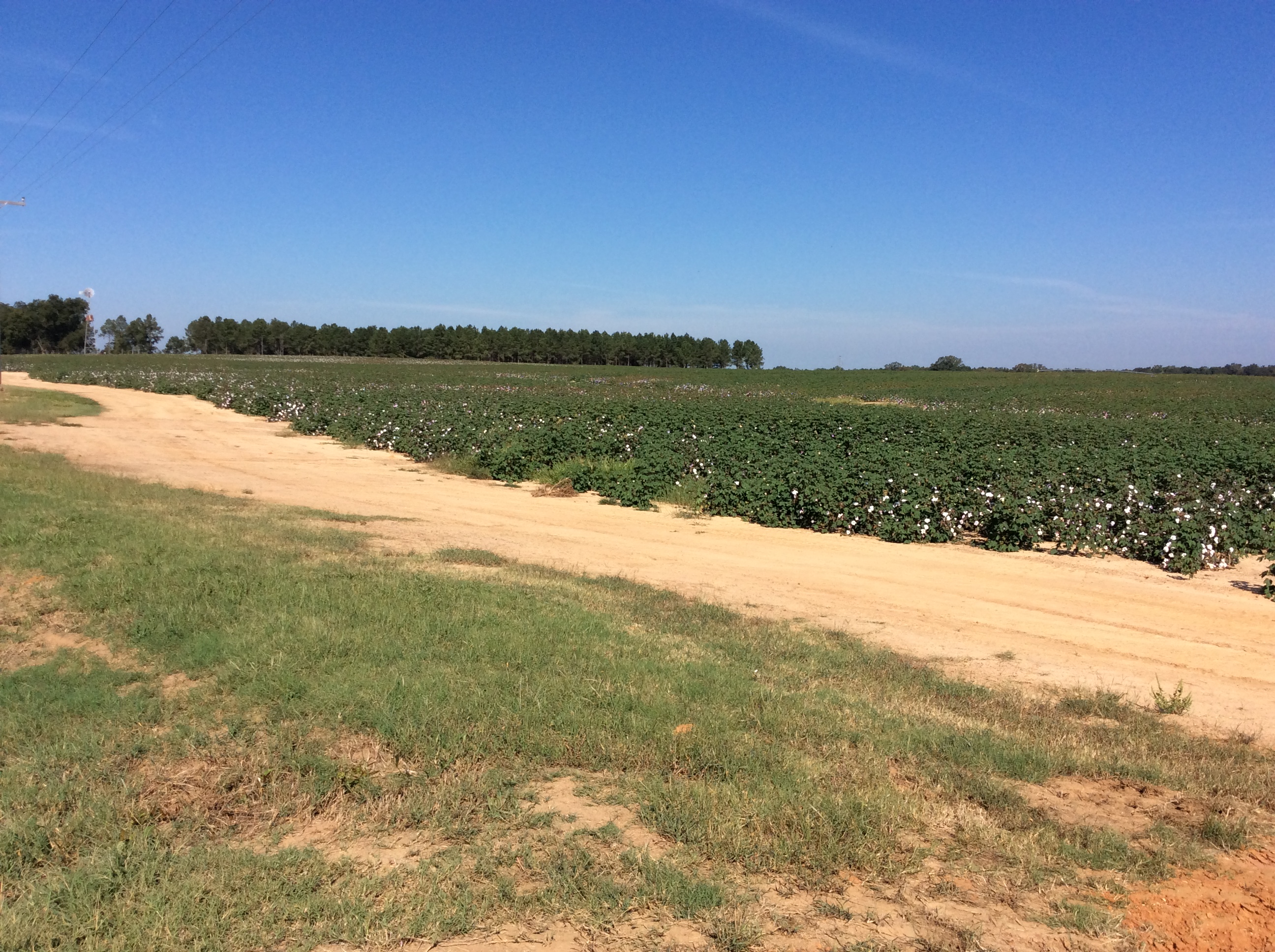
Cotton fields near Plains, Ga
Topographic Map of Vienna, GA, USA
Find elevation by address:

Places in Vienna, GA, USA:
Union St, Vienna, GA, USA
Spearhead Lane
Slosheye Estate Road
Lewis Mill Lake Road
Campers Haven Road
Places near Vienna, GA, USA:
Union St, Vienna, GA, USA
Lewis Mill Lake Road
874 Lewis Mill Lake Rd
Slosheye Estate Road
Spearhead Lane
Dooly County
Montezuma Rd, Vienna, GA, USA
Lilly
Fullington Ave S, Pinehurst, GA, USA
Pinehurst
Cordele
1408 Ogburn Rd
1408 Ogburn Rd
1408 Ogburn Rd
Byromville
Main St, Byromville, GA, USA
1744 Ga-90
Campers Haven Road
Pine St, Unadilla, GA, USA
Unadilla
Recent Searches:
- Elevation of Lampiasi St, Sarasota, FL, USA
- Elevation of Elwyn Dr, Roanoke Rapids, NC, USA
- Elevation of Congressional Dr, Stevensville, MD, USA
- Elevation of Bellview Rd, McLean, VA, USA
- Elevation of Stage Island Rd, Chatham, MA, USA
- Elevation of Shibuya Scramble Crossing, 21 Udagawacho, Shibuya City, Tokyo -, Japan
- Elevation of Jadagoniai, Kaunas District Municipality, Lithuania
- Elevation of Pagonija rock, Kranto 7-oji g. 8"N, Kaunas, Lithuania
- Elevation of Co Rd 87, Jamestown, CO, USA
- Elevation of Tenjo, Cundinamarca, Colombia