Elevation of Dooly County, GA, USA
Location: United States > Georgia >
Longitude: -83.804868
Latitude: 32.1593447
Elevation: 108m / 354feet
Barometric Pressure: 100KPa
Elevation Map:
Satellite Map:
Related Photos:
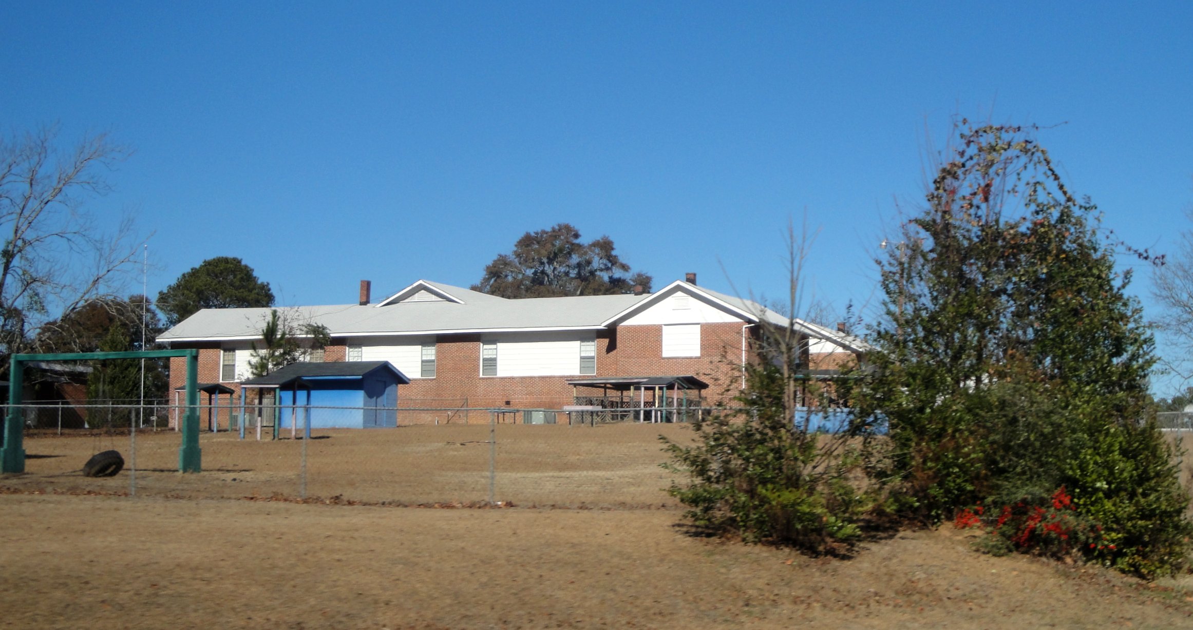
Vienna High & Industrial
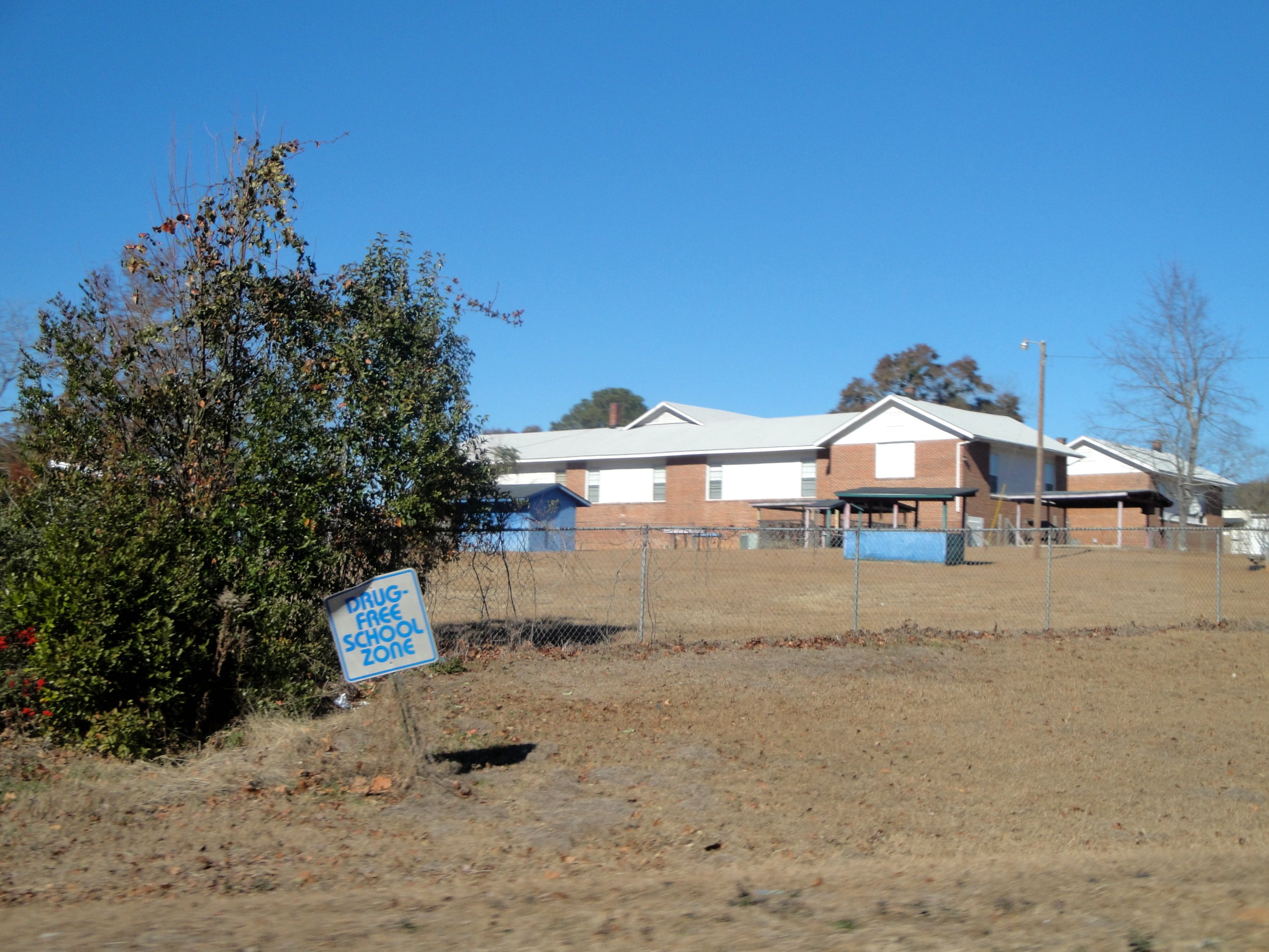
Vienna High & Industrial

jacksoldsouth-.jpg
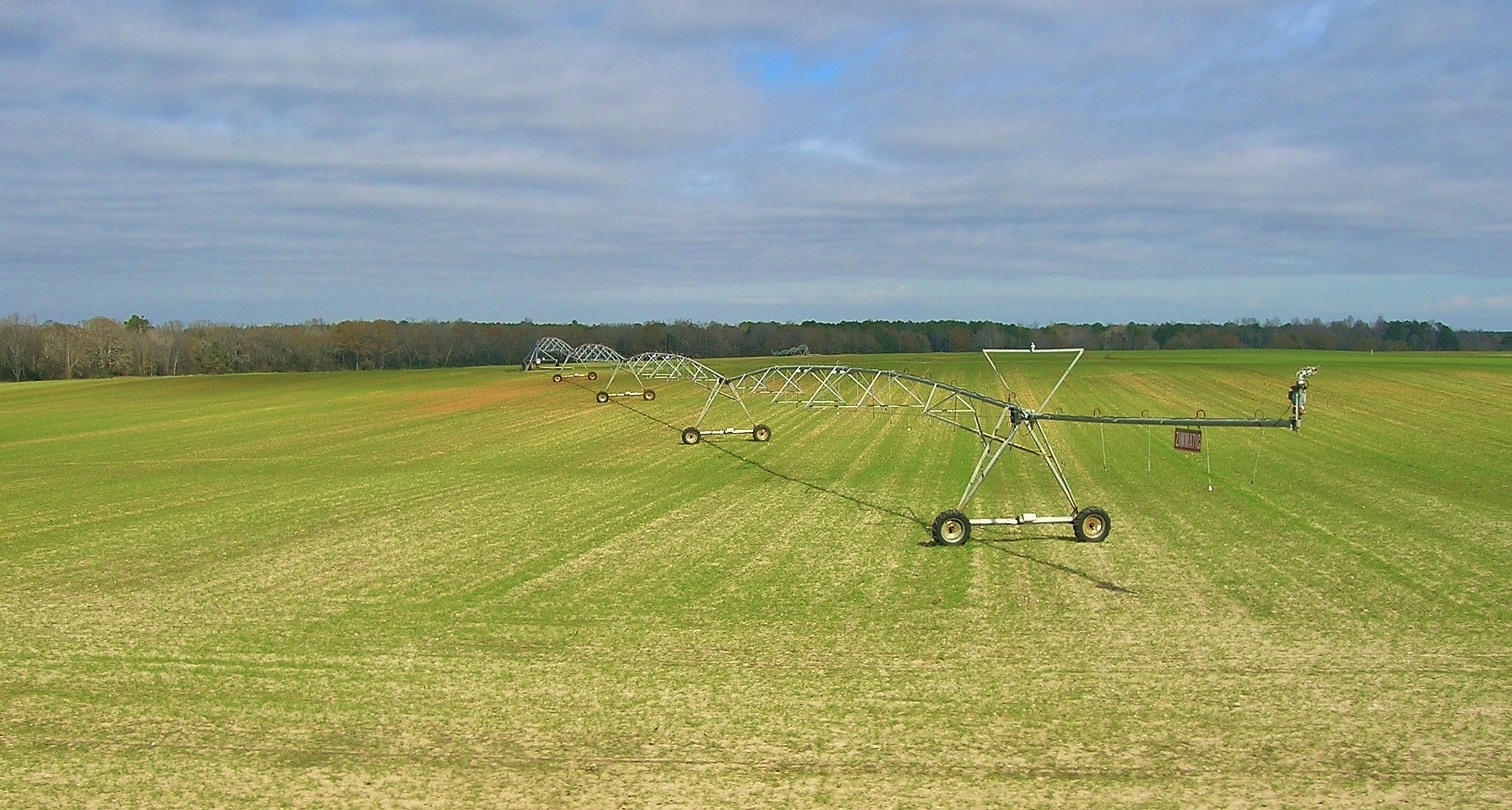
pivot, just N of Lilly
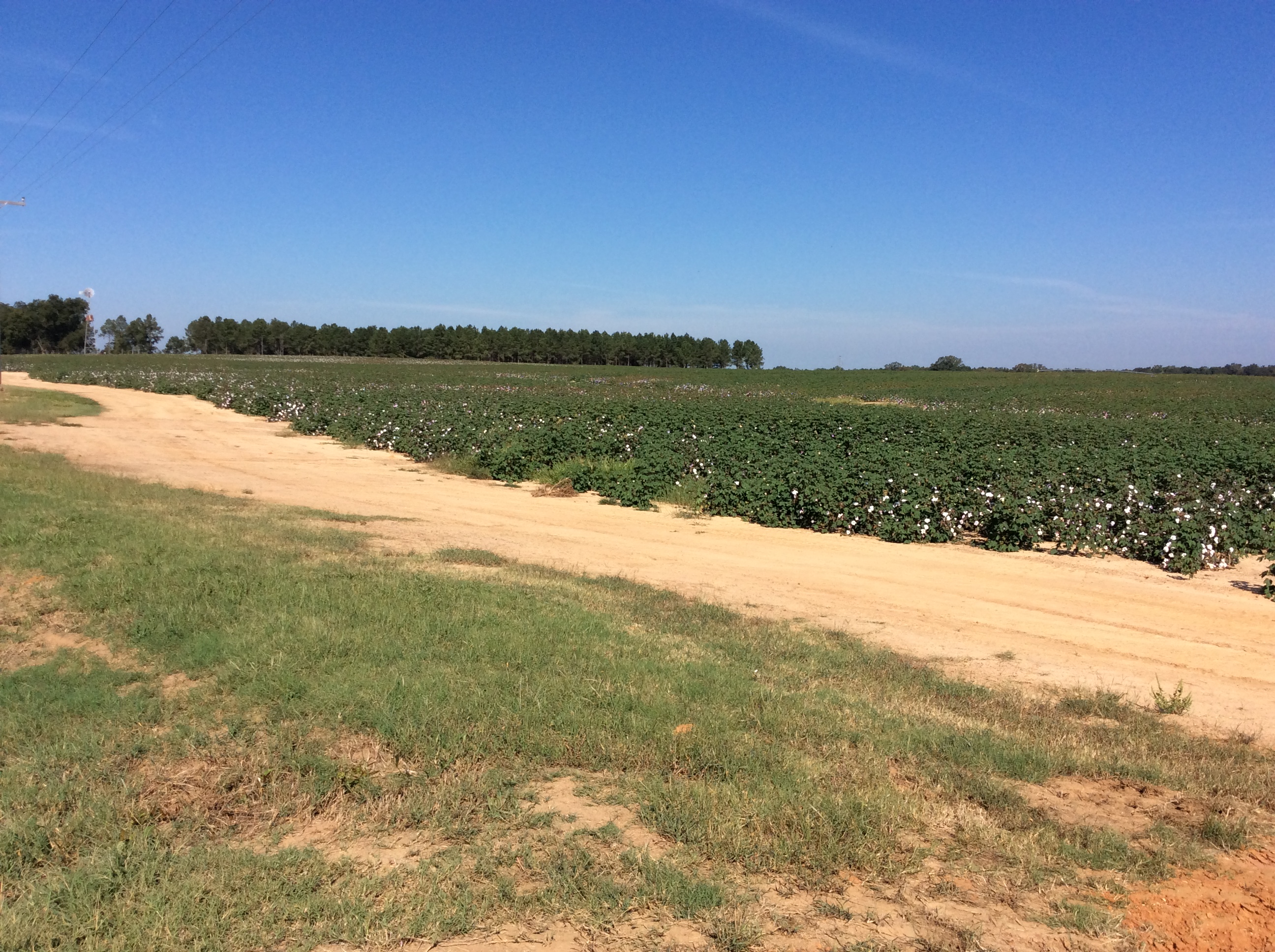
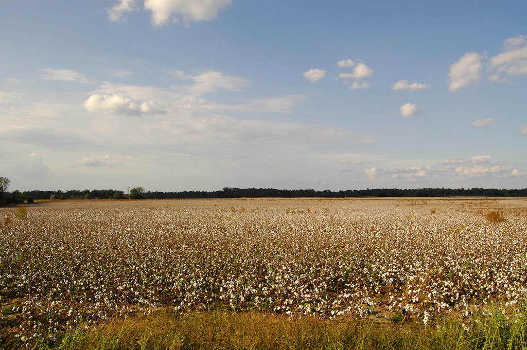
Cotton fields near Plains, Ga
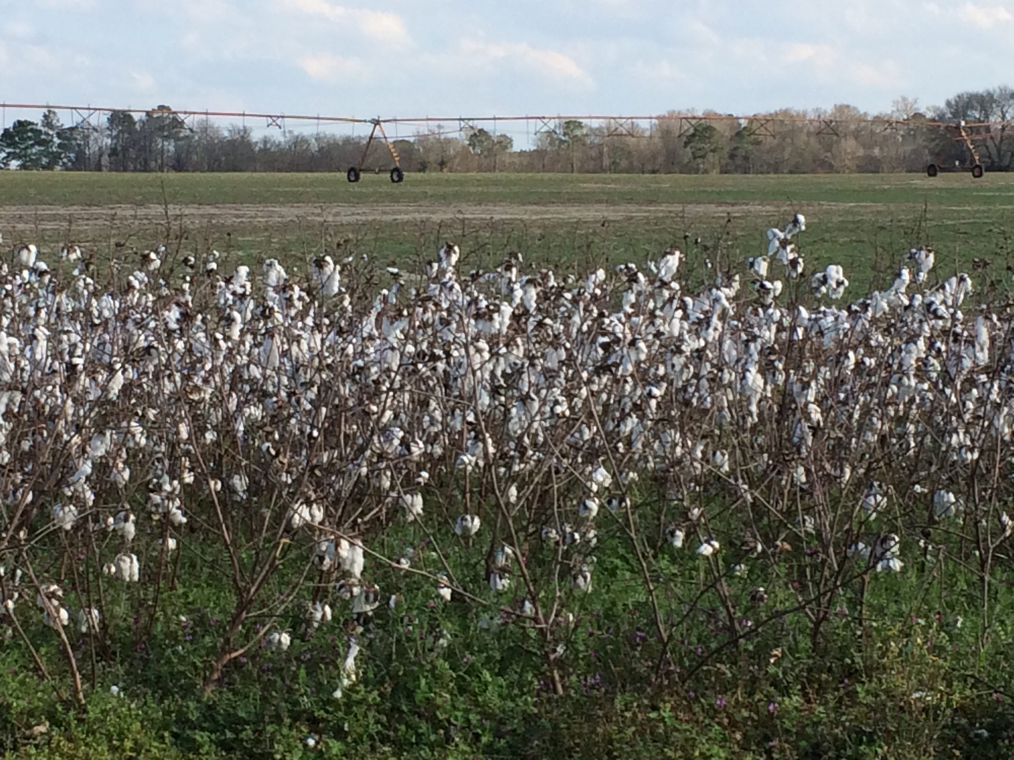
Cotton Field
IMG_0443[1]
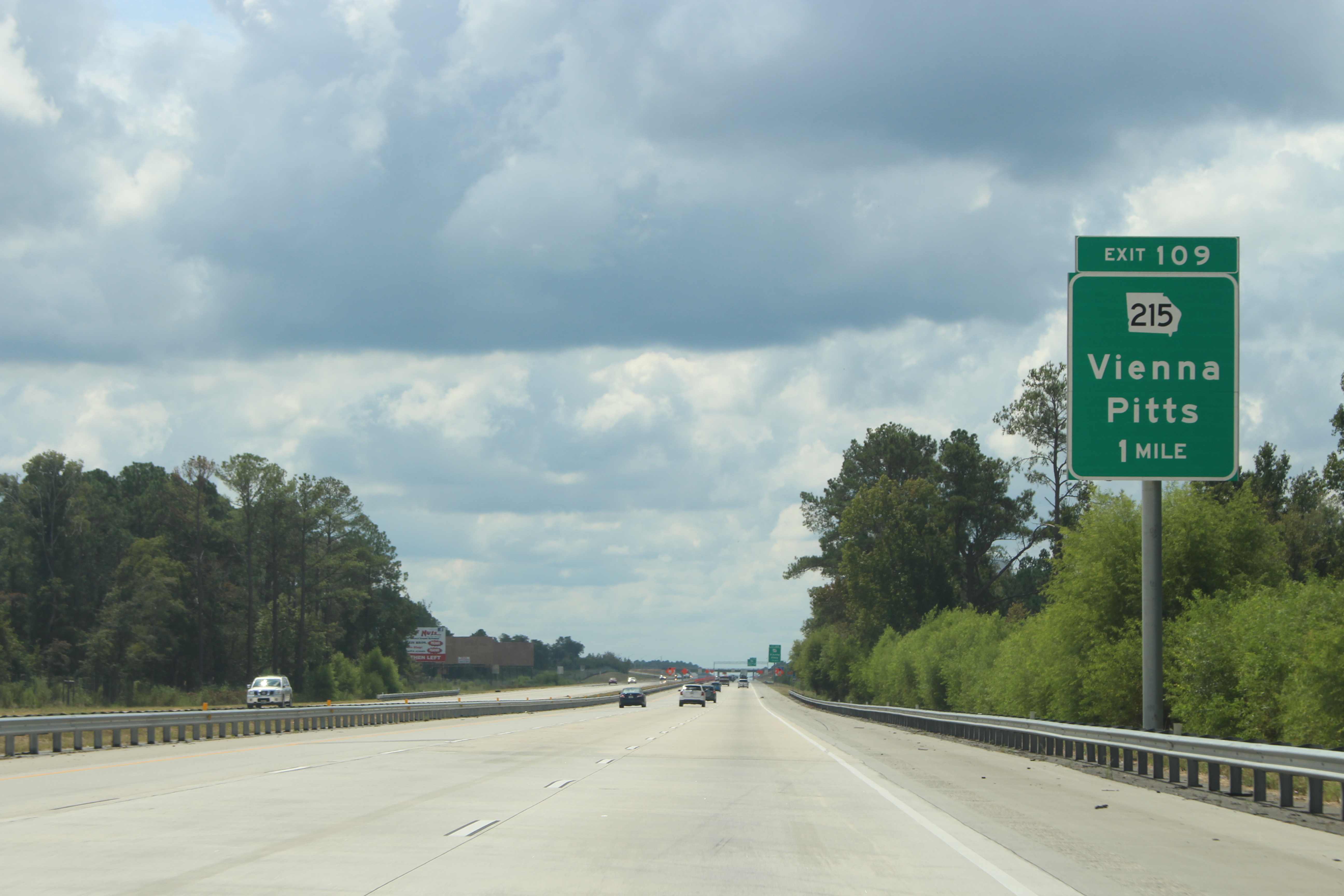
Georgia I75sb Exit 109 1 mile
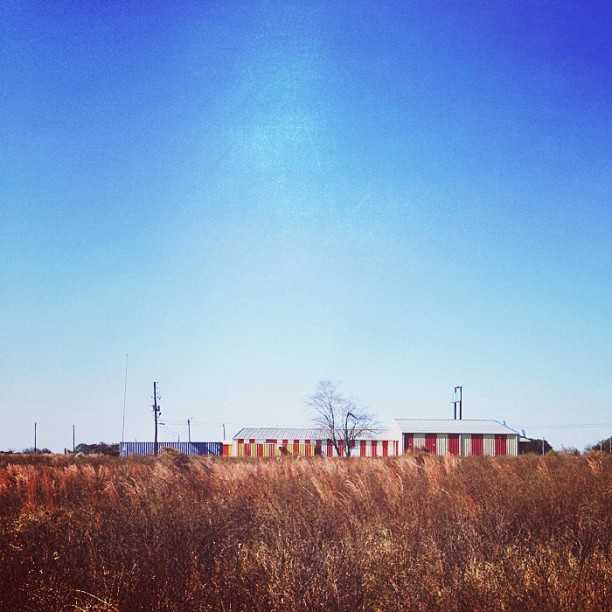
Middle of Nowhere. #bakerroadtrip

Pond on the farm
Topographic Map of Dooly County, GA, USA
Find elevation by address:

Places in Dooly County, GA, USA:
Places near Dooly County, GA, USA:
Slosheye Estate Road
Lewis Mill Lake Road
Spearhead Lane
874 Lewis Mill Lake Rd
Fullington Ave S, Pinehurst, GA, USA
Pinehurst
Vienna
Union St, Vienna, GA, USA
Montezuma Rd, Vienna, GA, USA
Lilly
Byromville
Main St, Byromville, GA, USA
Pine St, Unadilla, GA, USA
Unadilla
...., Elko, GA, USA
7703 Ga-26
Campers Haven Road
Cordele
Elko
260 Drayton Loop
Recent Searches:
- Elevation of Badaber, Peshawar, Khyber Pakhtunkhwa, Pakistan
- Elevation of SE Heron Loop, Lincoln City, OR, USA
- Elevation of Slanický ostrov, 01 Námestovo, Slovakia
- Elevation of Spaceport America, Co Rd A, Truth or Consequences, NM, USA
- Elevation of Warwick, RI, USA
- Elevation of Fern Rd, Whitmore, CA, USA
- Elevation of 62 Abbey St, Marshfield, MA, USA
- Elevation of Fernwood, Bradenton, FL, USA
- Elevation of Felindre, Swansea SA5 7LU, UK
- Elevation of Leyte Industrial Development Estate, Isabel, Leyte, Philippines