Elevation of Victor, MT, USA
Location: United States > Montana > Ravalli County >
Longitude: -114.15010
Latitude: 46.4165889
Elevation: 1041m / 3415feet
Barometric Pressure: 89KPa
Elevation Map:
Satellite Map:
Related Photos:
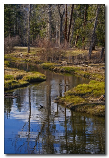
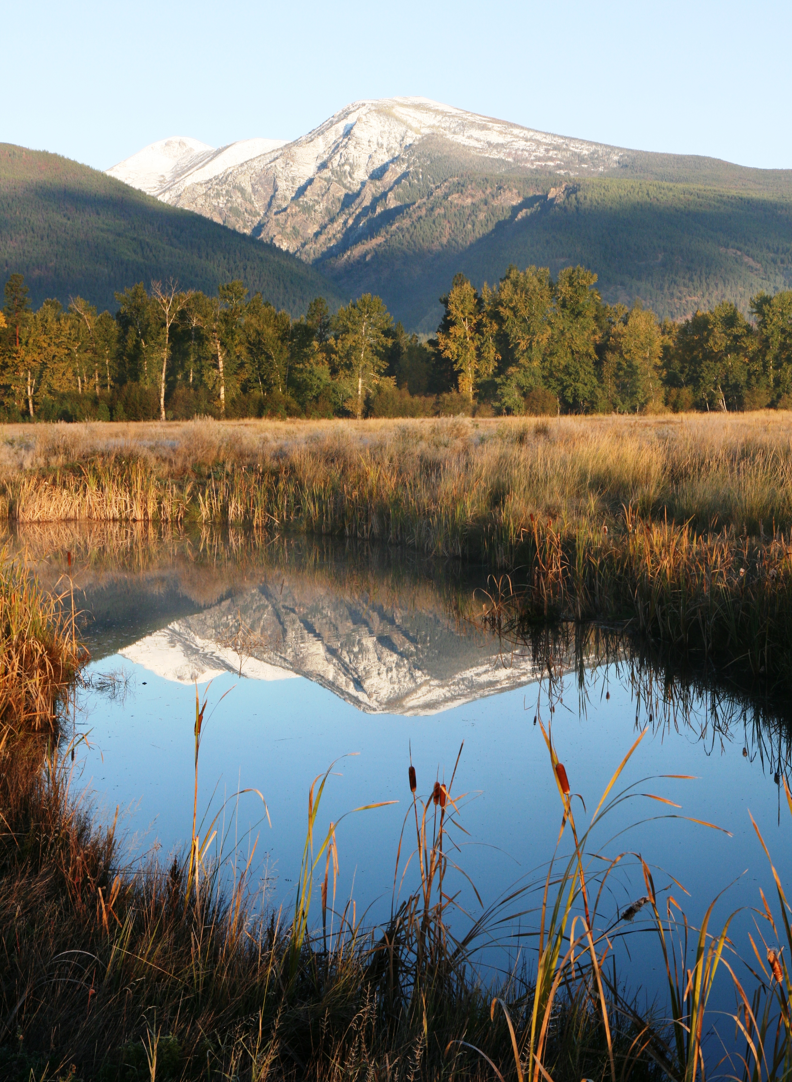
Duck Heaven

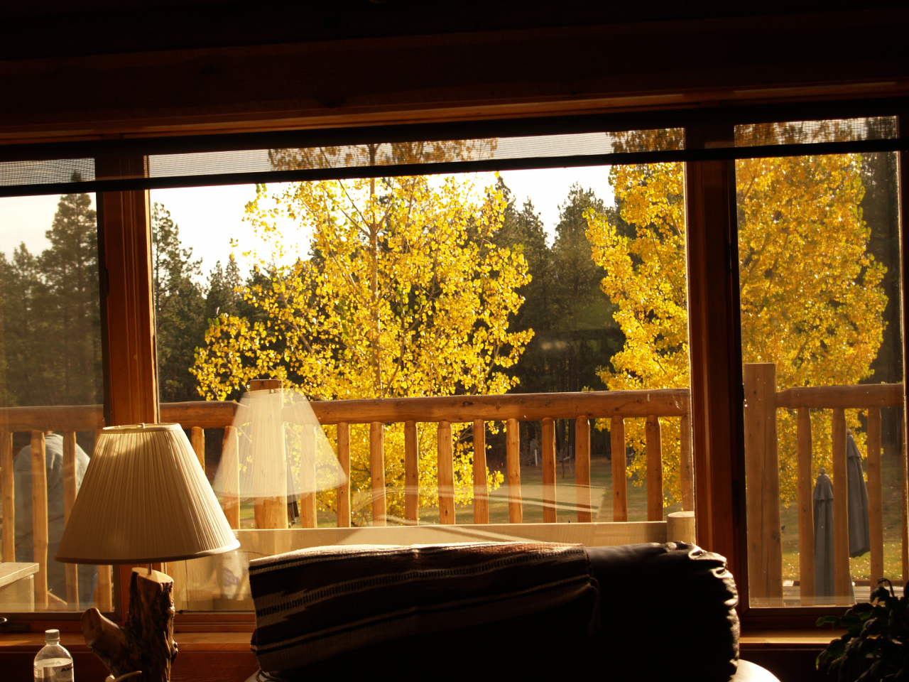
Bitterroot River Autumn Colors
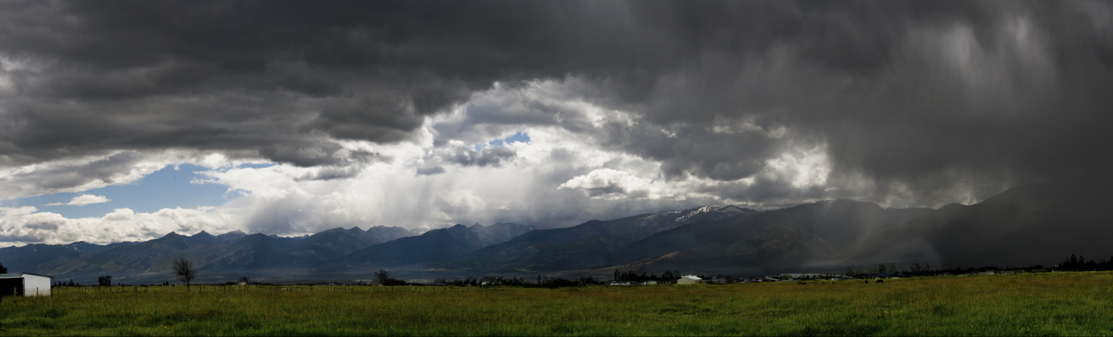
Sapphire Storm
The Quilt Whisperers

'The Hidden Valley' : View from the Summit of Chaffin Hill

The Earth as the Bitterroot Valley seen from Space

Horse Heaven
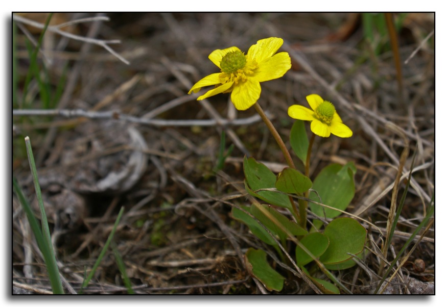
Tiny Signs of Spring
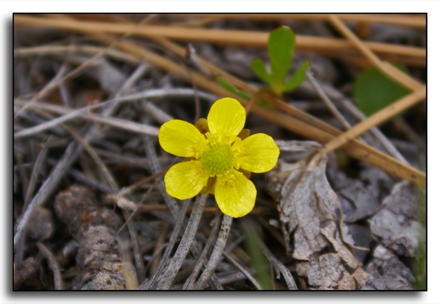
Tiny Signs of Spring
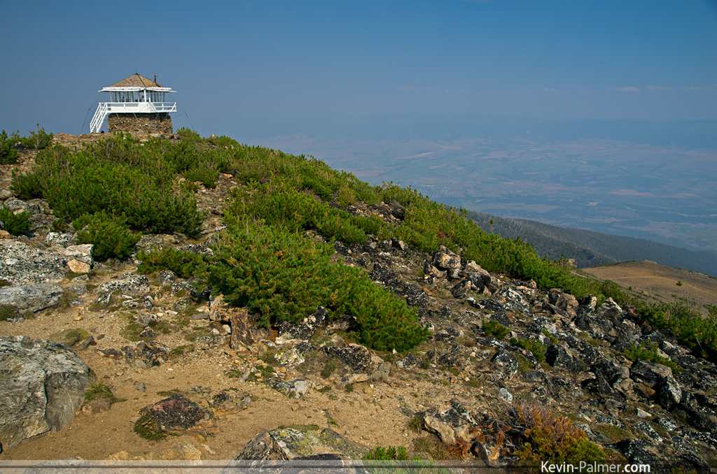
St. Mary Peak Lookout
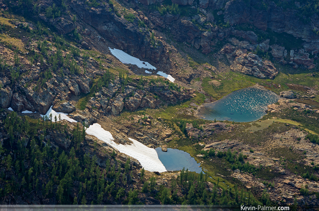
Snowy Tarns
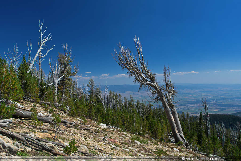
8,000 Foot View
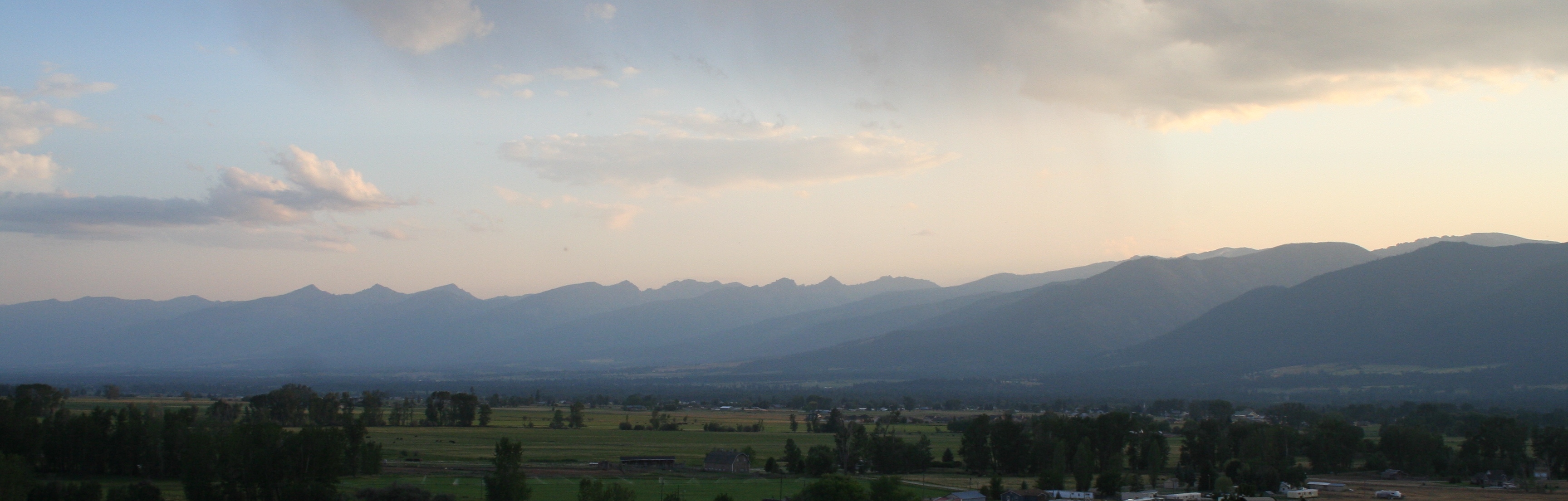
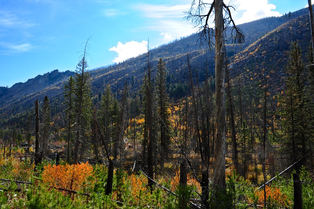
Bitterroot Smoky Mountains
Lange-Park-Bench
To Know Joy edit

Freezing Fog Over Valley Floor

Bitterroot Valley and Mountains from Chaffin Hill

Inside the Glacial Sculpture

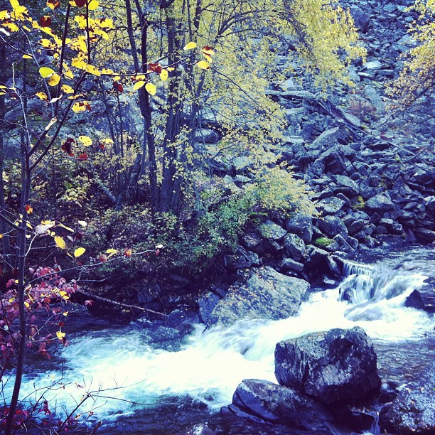
Sweathouse Creek Falls
Dragon Fly

MILL CREEK CANYON (17)
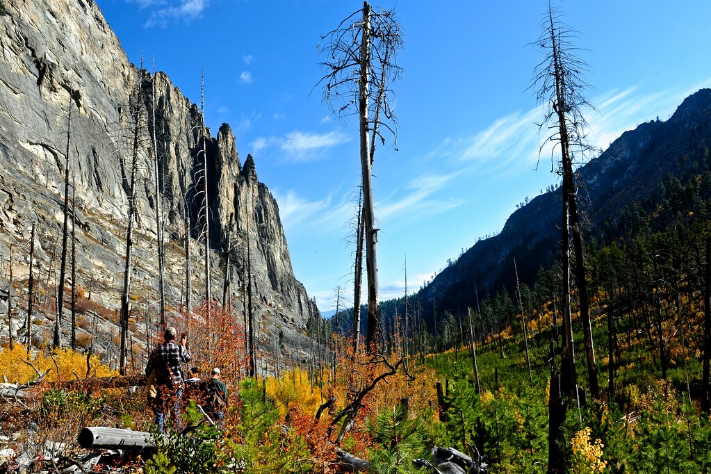
MILL CREEK CANYON (13)

MILL CREEK CANYON (13)
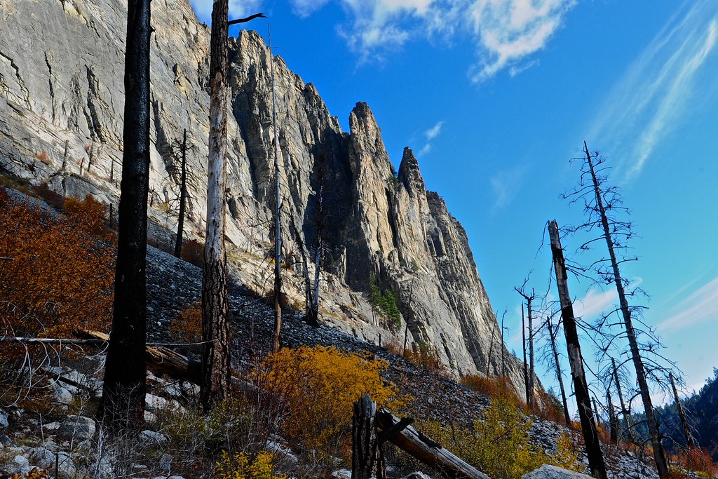
MILL CREEK CANYON (17)

MILL CREEK CANYON (18)
Kootenai Creek Afternoon
the log's shadow.
St Joseph Peak, Bitterroot Valley, Montana

Temperature Inversion, Bitterroot Valley

One of my favorite pit stops, atop St. Mary Peak
MILL CREEK CANYON (8)
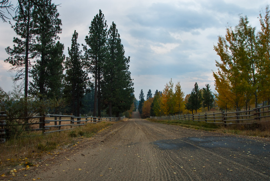
Indian Prarie Loop

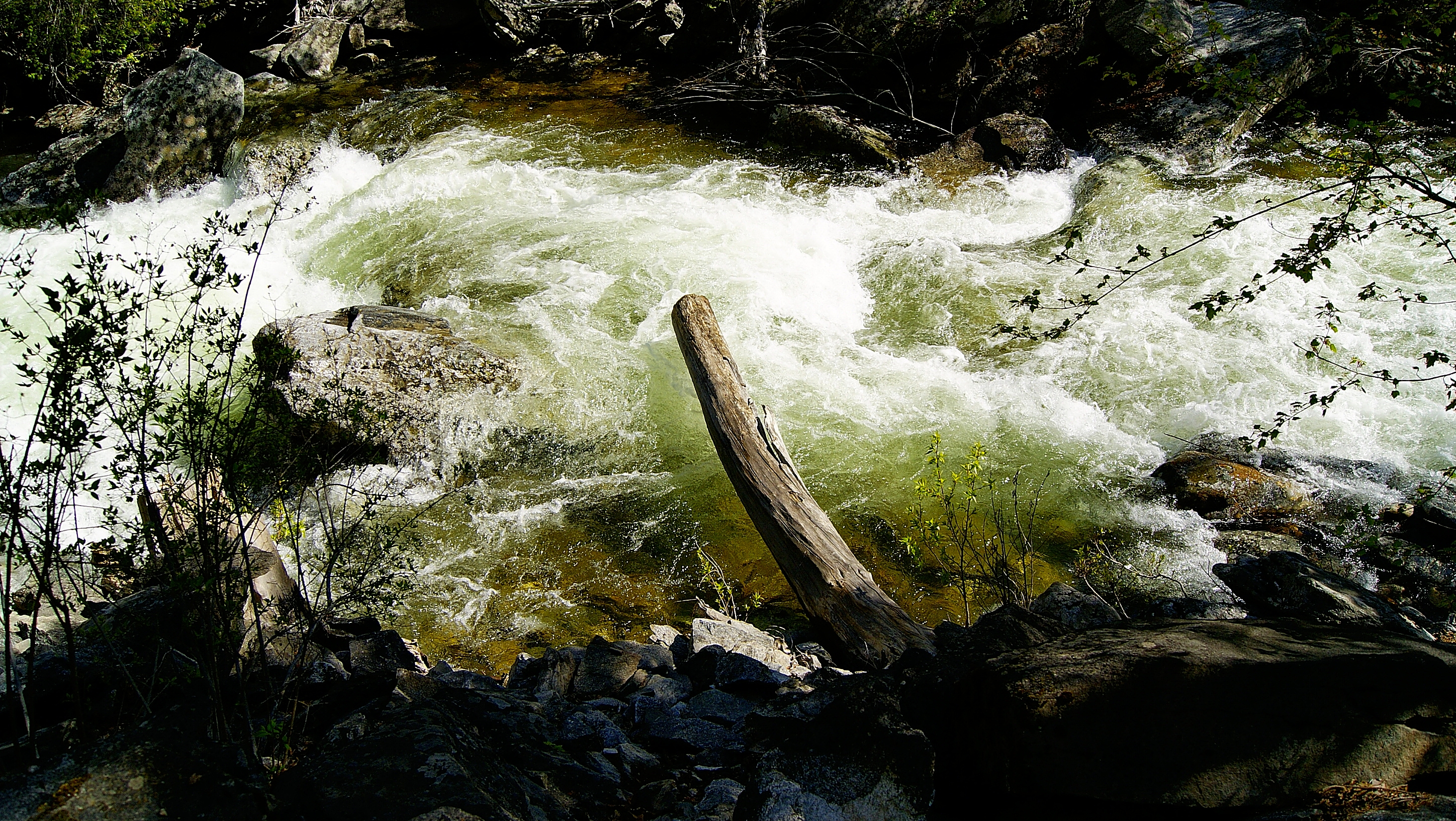
Kootenai Creek
Topographic Map of Victor, MT, USA
Find elevation by address:

Places in Victor, MT, USA:
Places near Victor, MT, USA:
664 Wild Rose Ln
848 Sweathouse Creek Rd
405 Redtail Hawk Ln
Stevensville
Stevensville, MT, USA
800 N Burnt Fork Rd
US-93, Florence, MT, USA
1003 Prairie Ln
516 Pioneer Way
657 Sweeney Creek Loop
5600 Montana Trail
5057 Fox Gulch Rd
1253 Bolin Ranch Rd
Florence
5952 Brittany Ln
746 Bitterroot Dr
Carlton
137 Remington Ct
5642 Orchard Ln N
5391 Agate Ln
Recent Searches:
- Elevation of Corso Fratelli Cairoli, 35, Macerata MC, Italy
- Elevation of Tallevast Rd, Sarasota, FL, USA
- Elevation of 4th St E, Sonoma, CA, USA
- Elevation of Black Hollow Rd, Pennsdale, PA, USA
- Elevation of Oakland Ave, Williamsport, PA, USA
- Elevation of Pedrógão Grande, Portugal
- Elevation of Klee Dr, Martinsburg, WV, USA
- Elevation of Via Roma, Pieranica CR, Italy
- Elevation of Tavkvetili Mountain, Georgia
- Elevation of Hartfords Bluff Cir, Mt Pleasant, SC, USA