Elevation of Sweeney Creek Loop, Florence, MT, USA
Location: United States > Montana > Ravalli County > Florence >
Longitude: -114.10721
Latitude: 46.604168
Elevation: 1029m / 3376feet
Barometric Pressure: 90KPa
Elevation Map:
Satellite Map:
Related Photos:
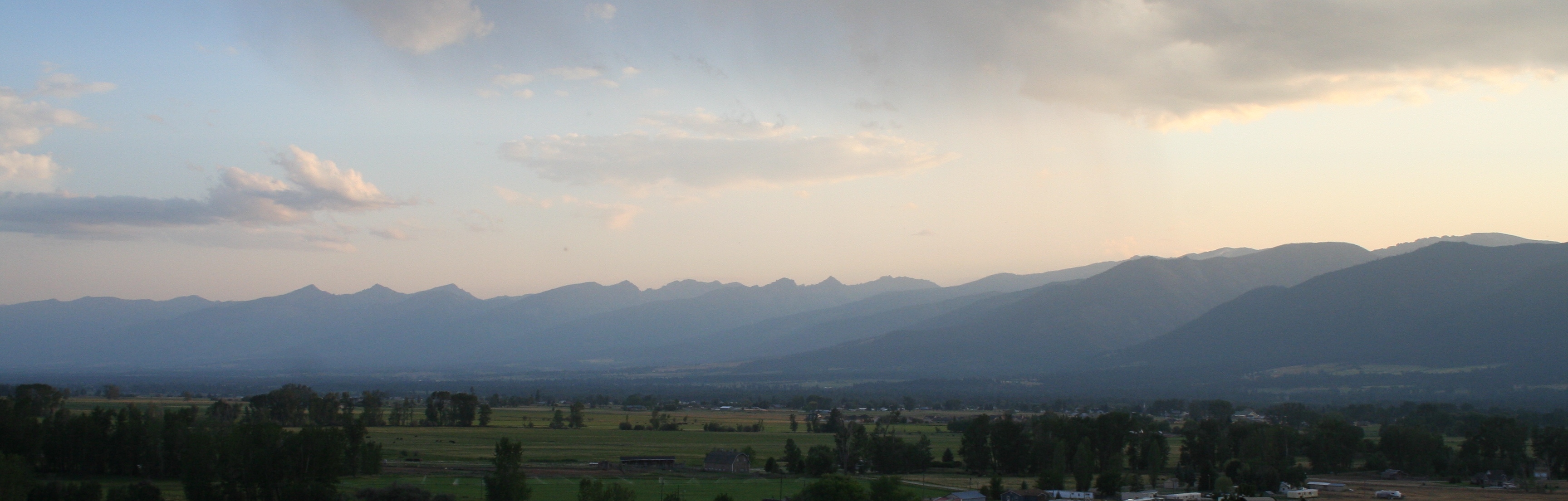
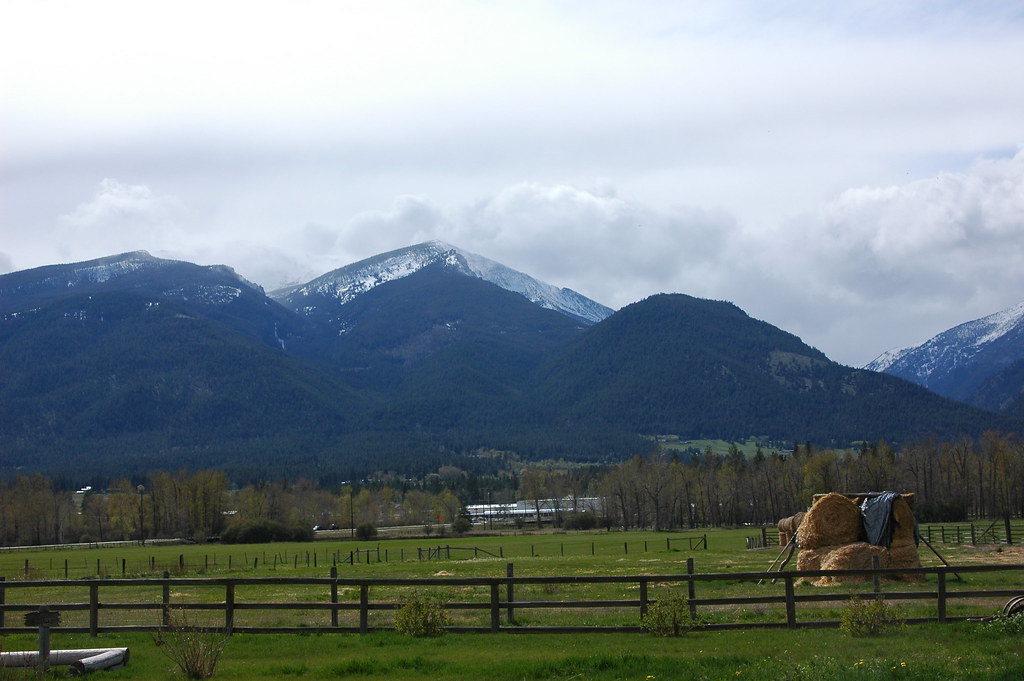
Morning in the Bitterroot Valley
Bitterroot Mountains
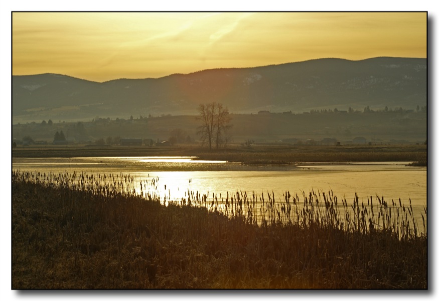
Sunrise in the Bitterroot Valley
Duck Heaven
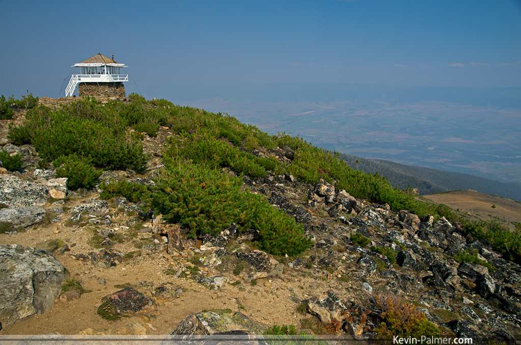
St. Mary Peak Lookout

This morning's view
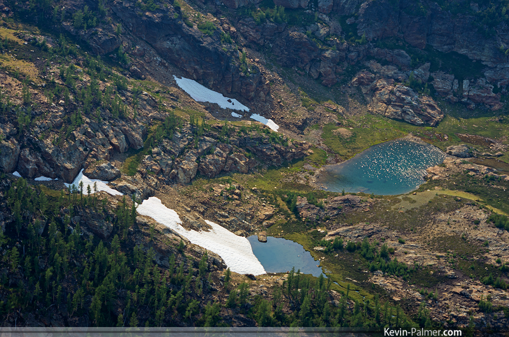
Snowy Tarns
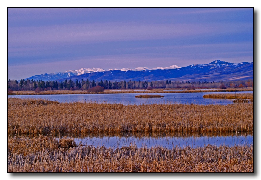
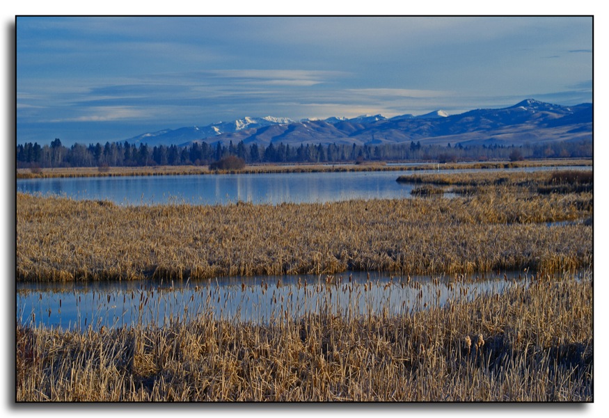
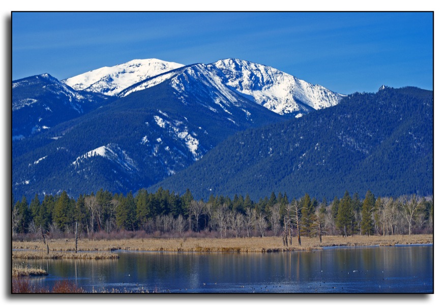
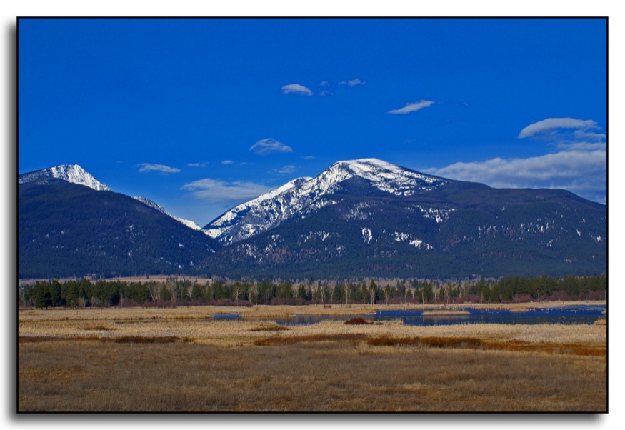
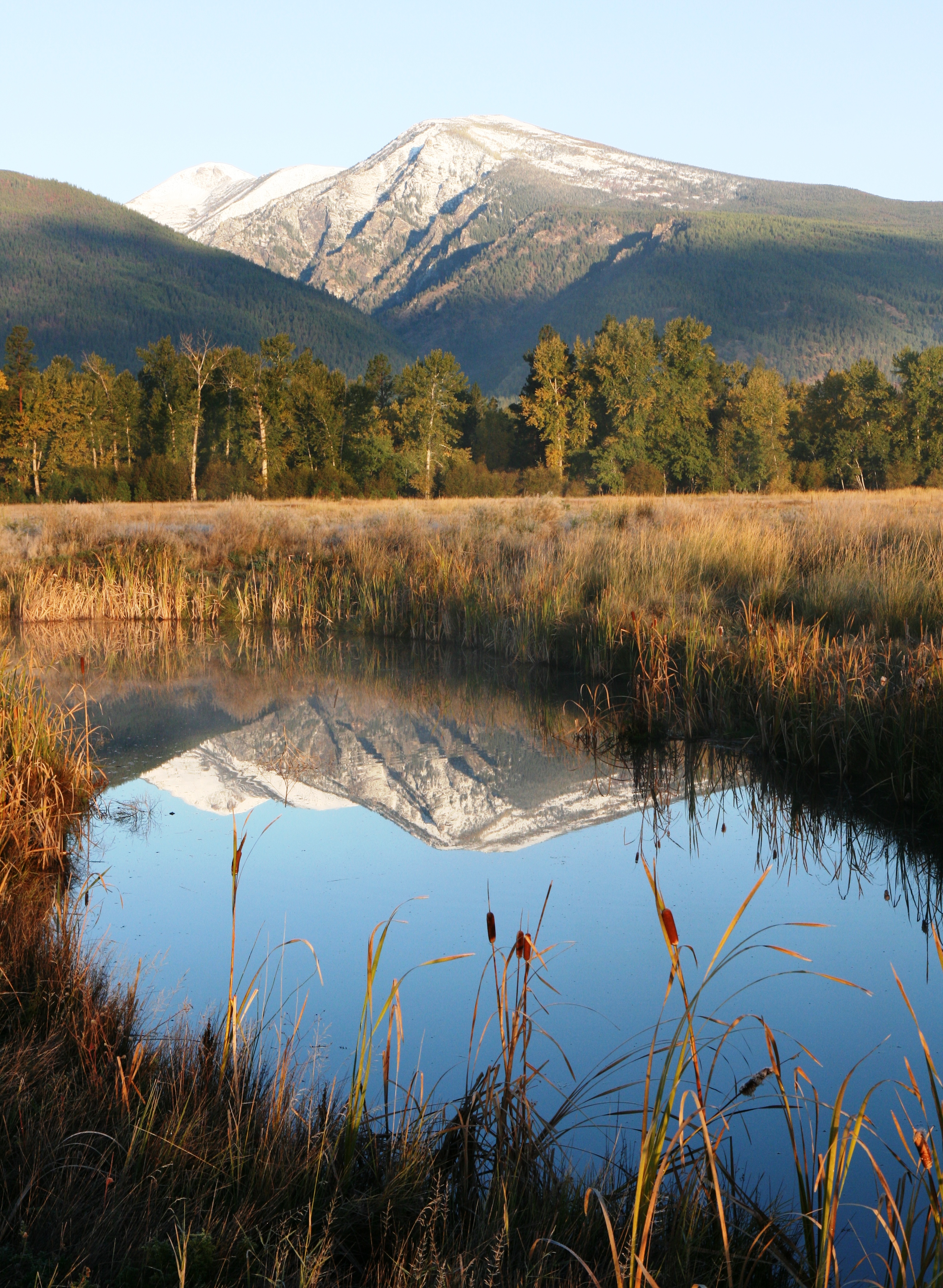
Lee Metcalf National Wildlife Refuge
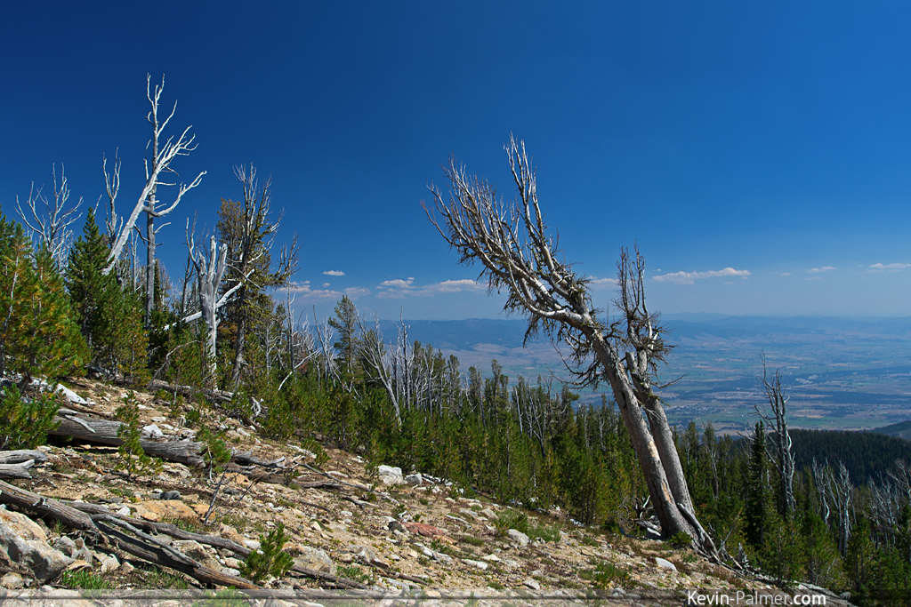
8,000 Foot View
Bitterroot Smoky Mountains

Great Blue Heron
Morning in the Bitterroot Valley
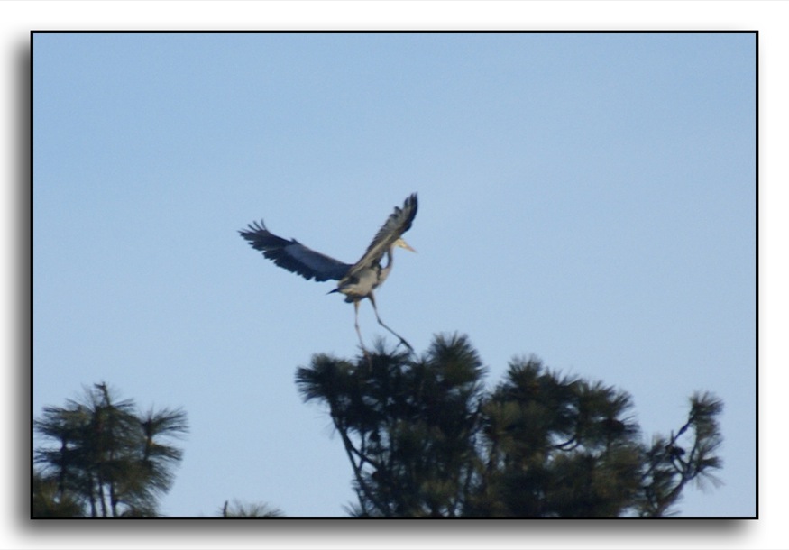
Great Blue Heron

Great Blue Heron
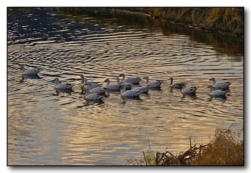
Snow Geese at Sunset
Morning in the Bitterroot Valley
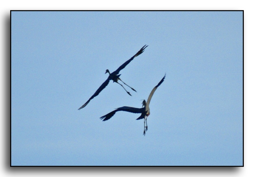
Great Blue Herons
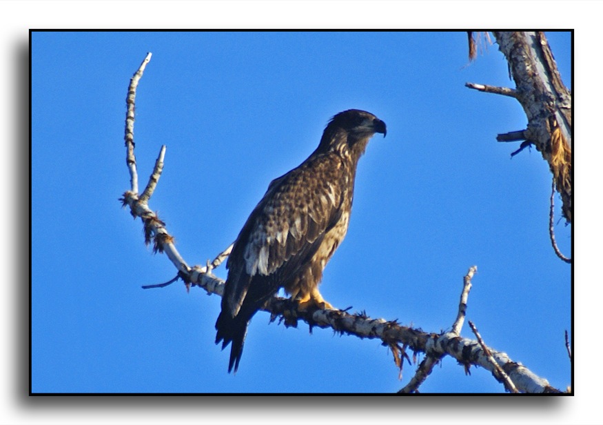
Immature Eagle
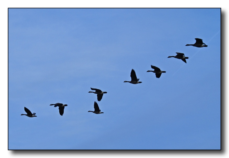
Follow The Leader
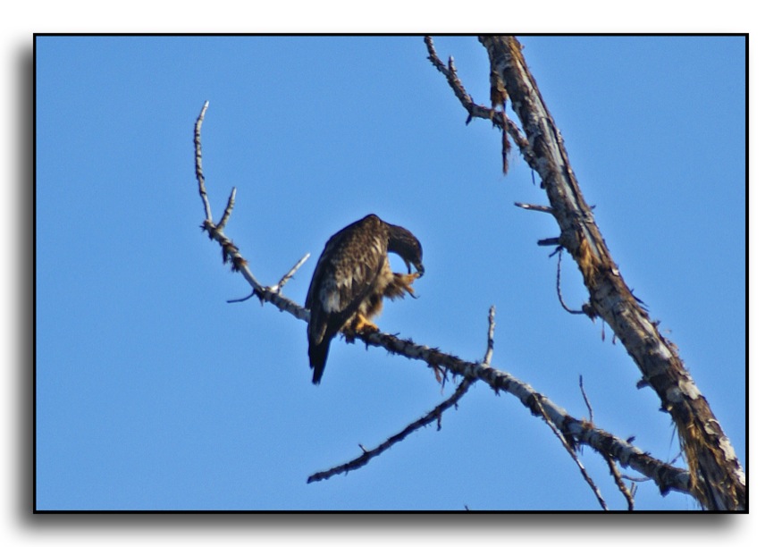
Eagle Preening
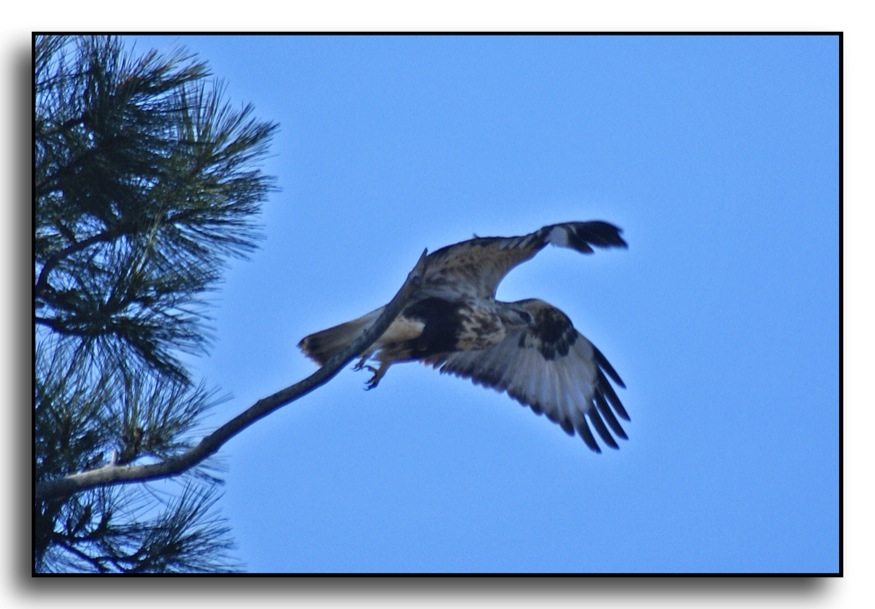
Rough Legged Hawk Taking Off
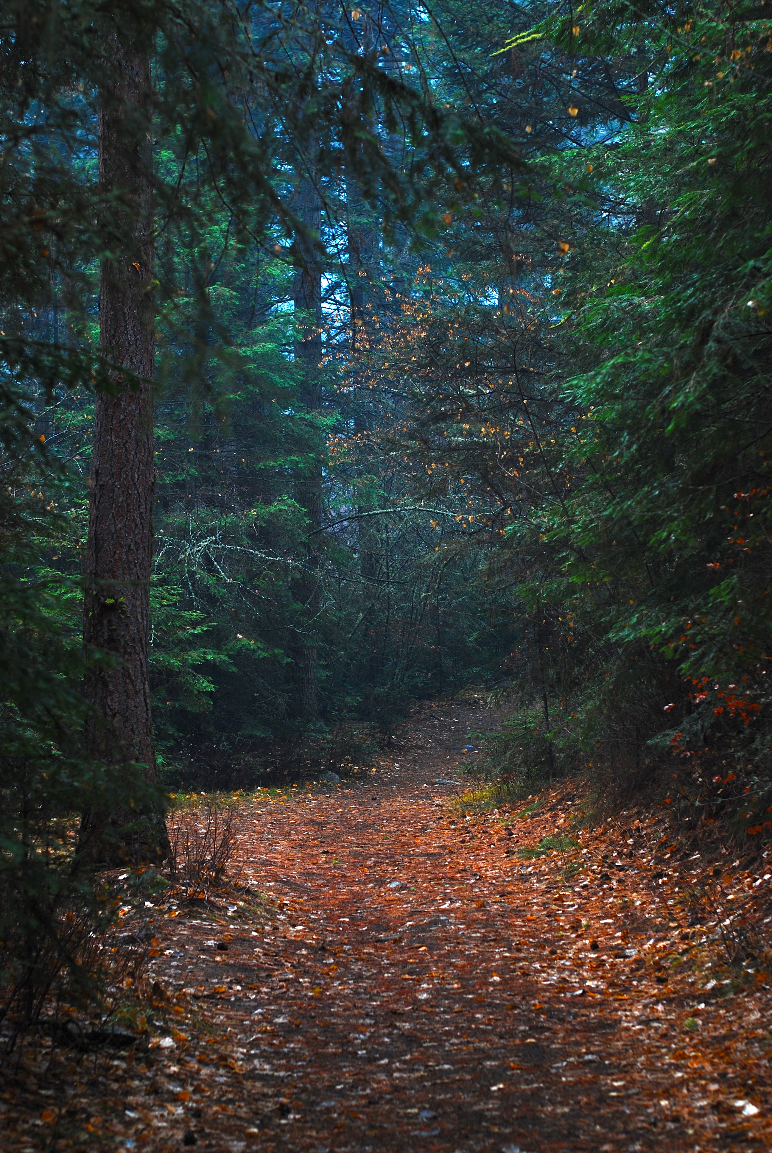
Bass Creek Trail
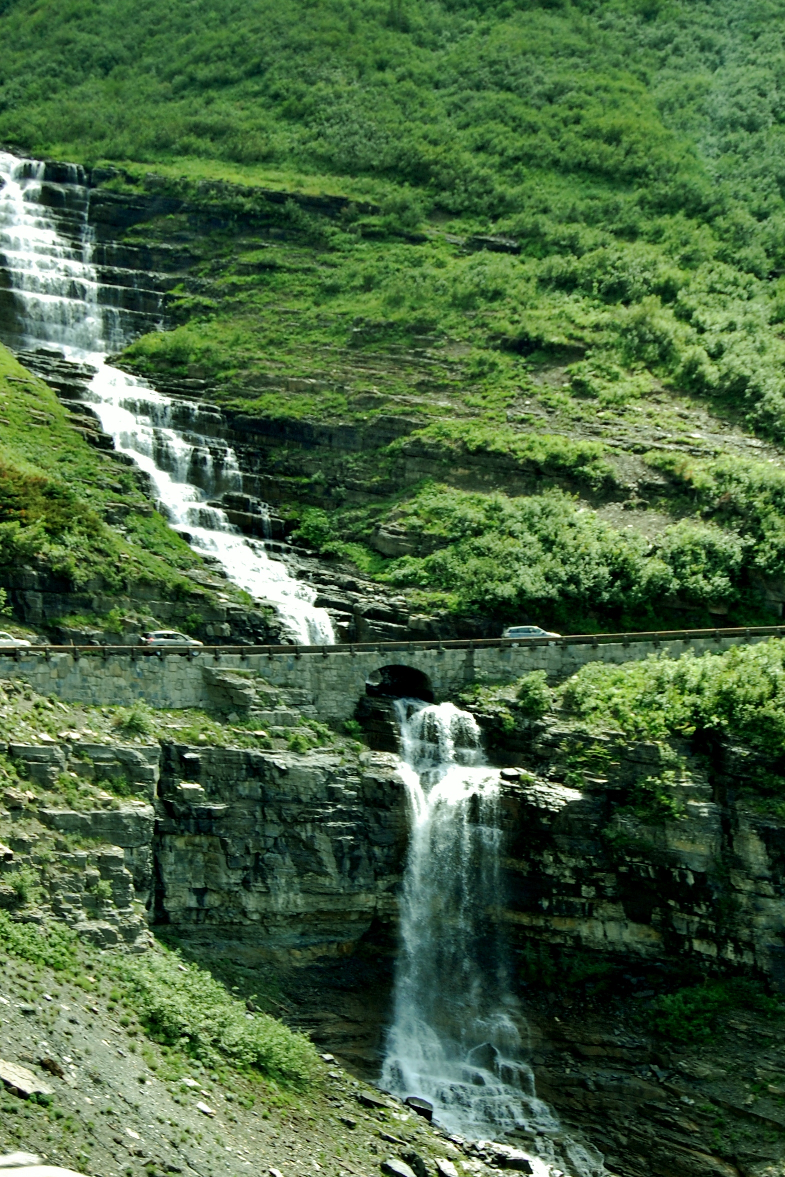
Going-to-The-Sun Road
D70-0512-032 - Bitteroot Mountains
Kootenai Creek Afternoon

Who won't be in awe?

Return of the Bobolinks
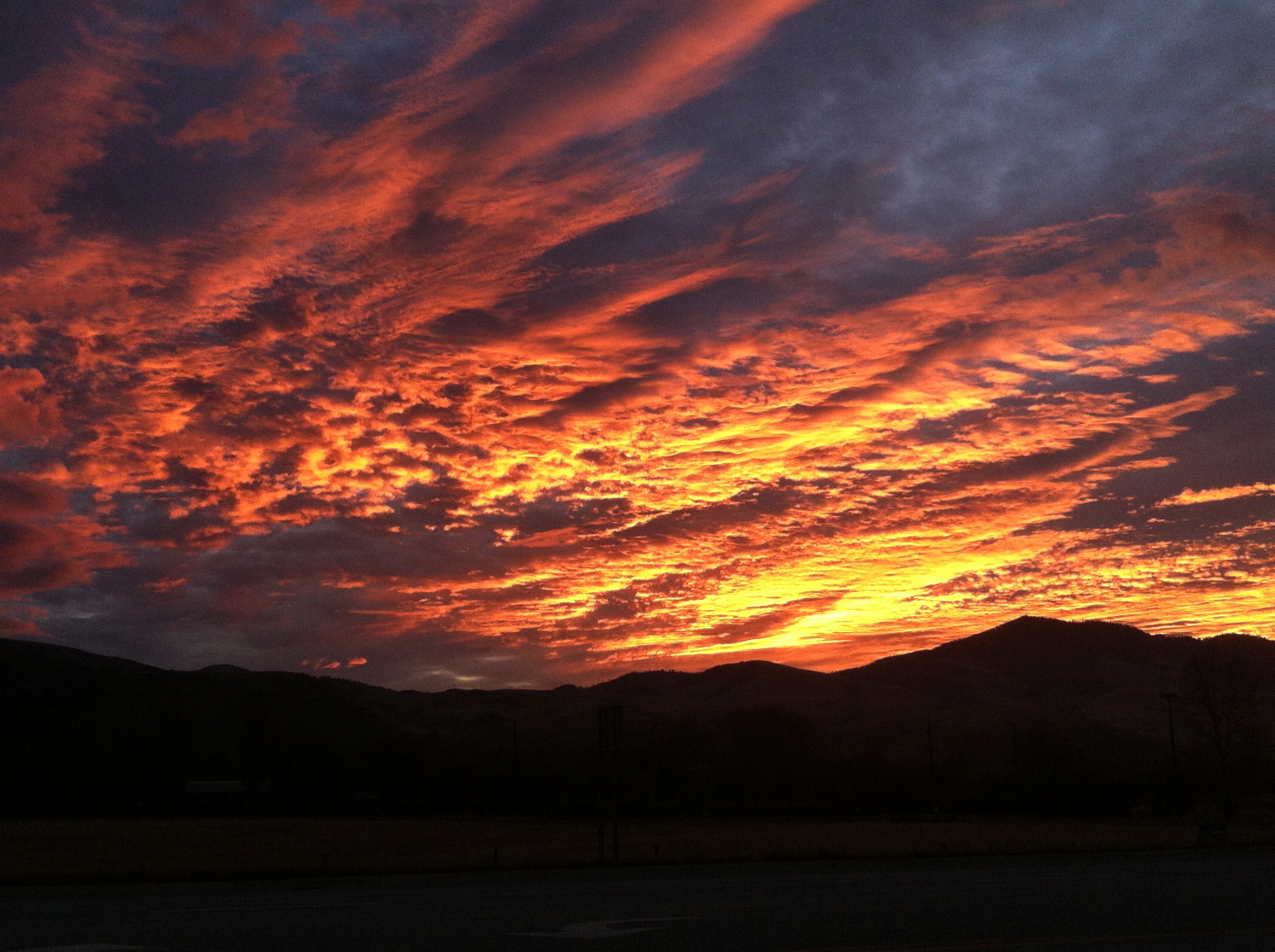
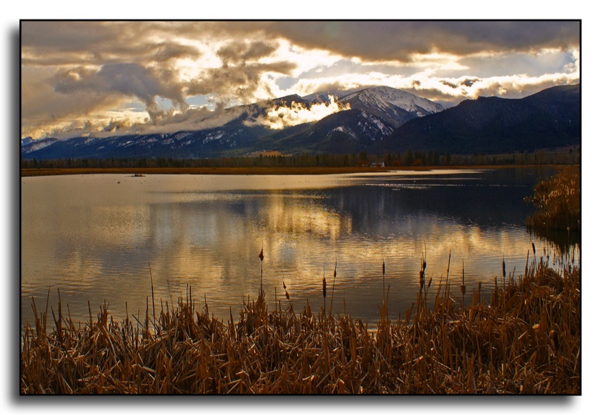
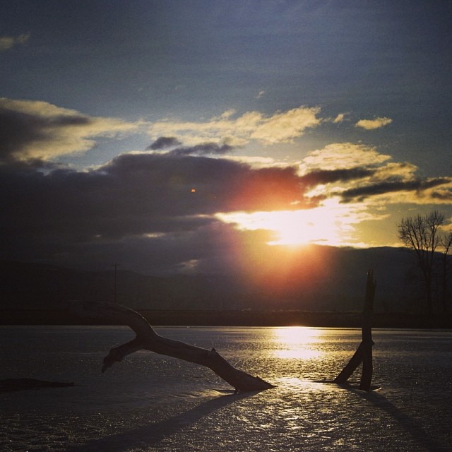
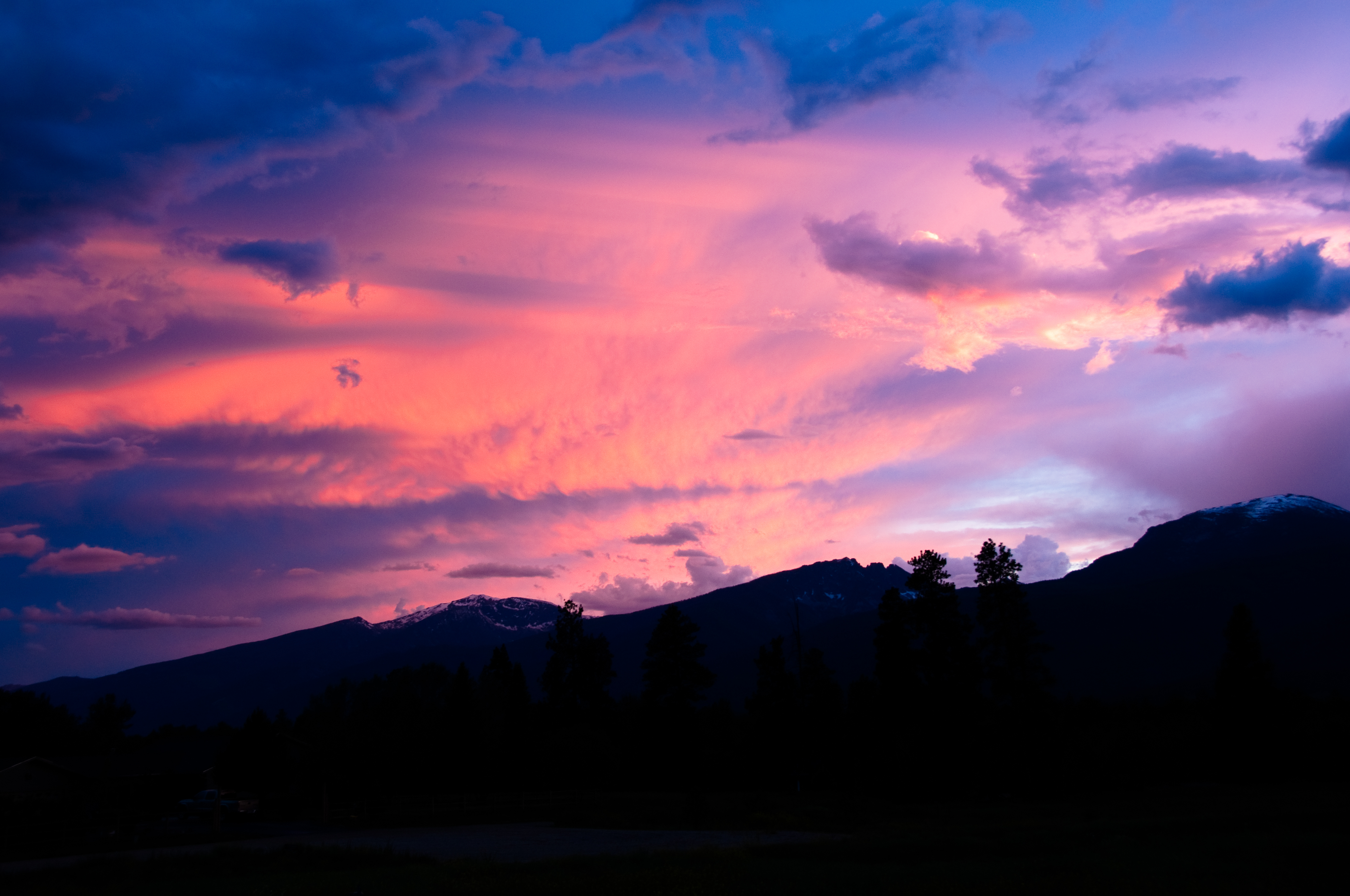
Fiery Sky in the Morning
the log's shadow.
St Joseph Peak, Bitterroot Valley, Montana
Start of a New Year #2014 #igdaily #sunrise #Montana

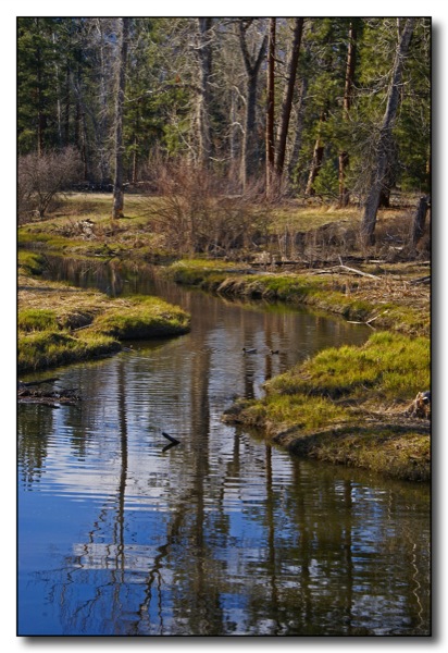
Bitterroot Stream

Lee Metcalf National Wildlife Refuge

One of my favorite pit stops, atop St. Mary Peak
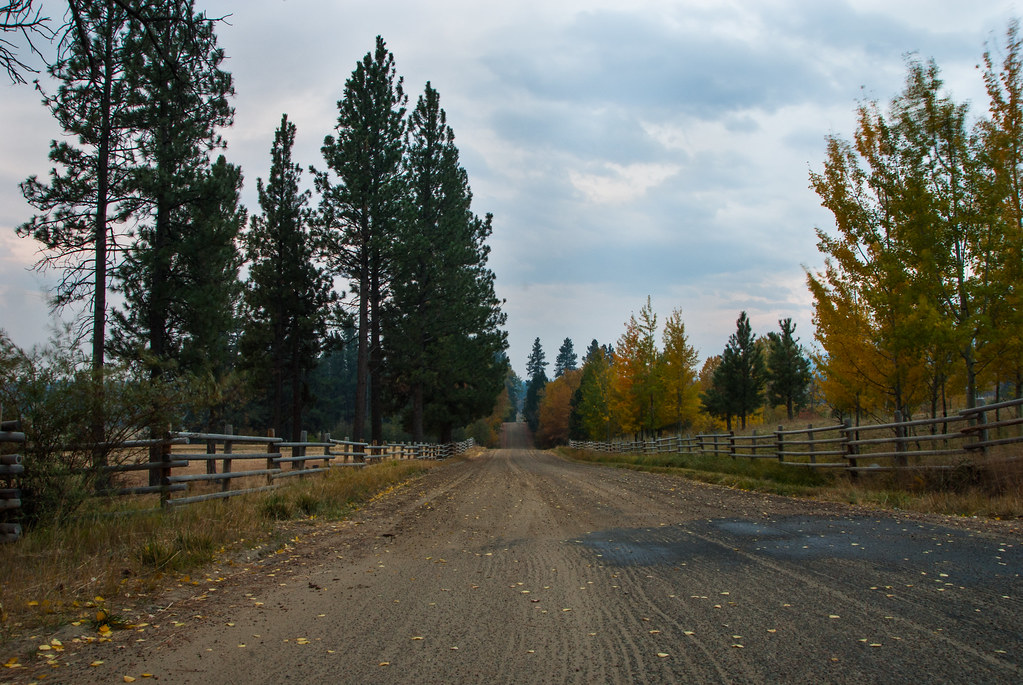
Indian Prarie Loop

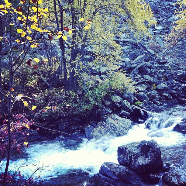
Kootenai Creek
Great Sunset from Front Yard

Definitely shorts and t-shirt weather this evening
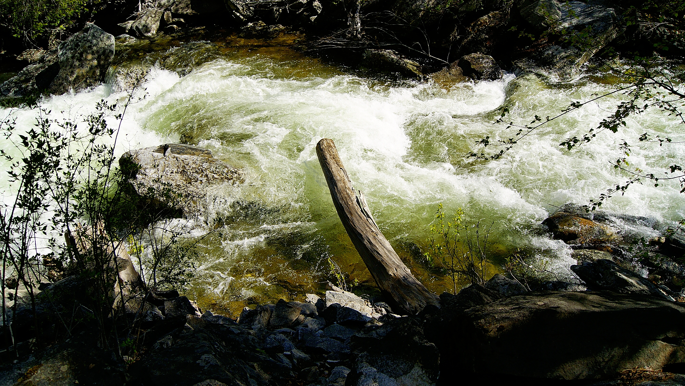
Bass Creek Rapids
Topographic Map of Sweeney Creek Loop, Florence, MT, USA
Find elevation by address:

Places near Sweeney Creek Loop, Florence, MT, USA:
US-93, Florence, MT, USA
Florence
Carlton
516 Pioneer Way
5057 Fox Gulch Rd
5600 Montana Trail
5952 Brittany Ln
Stevensville
405 Redtail Hawk Ln
746 Bitterroot Dr
5642 Orchard Ln N
137 Remington Ct
800 N Burnt Fork Rd
Stevensville, MT, USA
1084 Jenne Ln
5391 Agate Ln
1003 Prairie Ln
1253 Bolin Ranch Rd
Lolo
236 Essex St
Recent Searches:
- Elevation of Congressional Dr, Stevensville, MD, USA
- Elevation of Bellview Rd, McLean, VA, USA
- Elevation of Stage Island Rd, Chatham, MA, USA
- Elevation of Shibuya Scramble Crossing, 21 Udagawacho, Shibuya City, Tokyo -, Japan
- Elevation of Jadagoniai, Kaunas District Municipality, Lithuania
- Elevation of Pagonija rock, Kranto 7-oji g. 8"N, Kaunas, Lithuania
- Elevation of Co Rd 87, Jamestown, CO, USA
- Elevation of Tenjo, Cundinamarca, Colombia
- Elevation of Côte-des-Neiges, Montreal, QC H4A 3J6, Canada
- Elevation of Bobcat Dr, Helena, MT, USA