Elevation of Veterans Rd, Tannersville, VA, USA
Location: United States > Virginia > Tazewell County > Southern > Tannersville >
Longitude: -81.641862
Latitude: 36.9987005
Elevation: 945m / 3100feet
Barometric Pressure: 90KPa
Elevation Map:
Satellite Map:
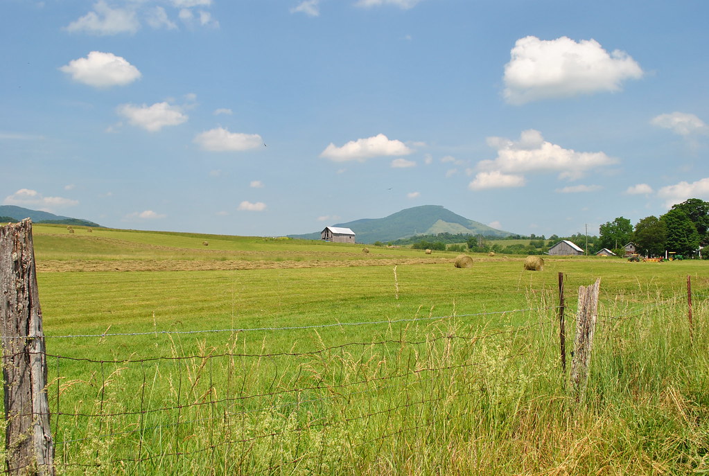
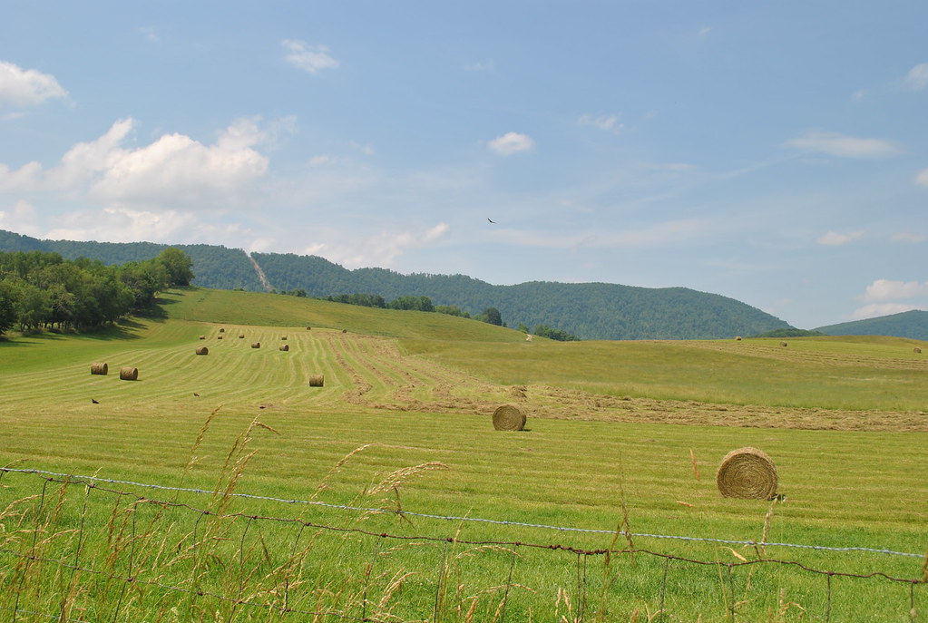
Related Photos:
2013 009

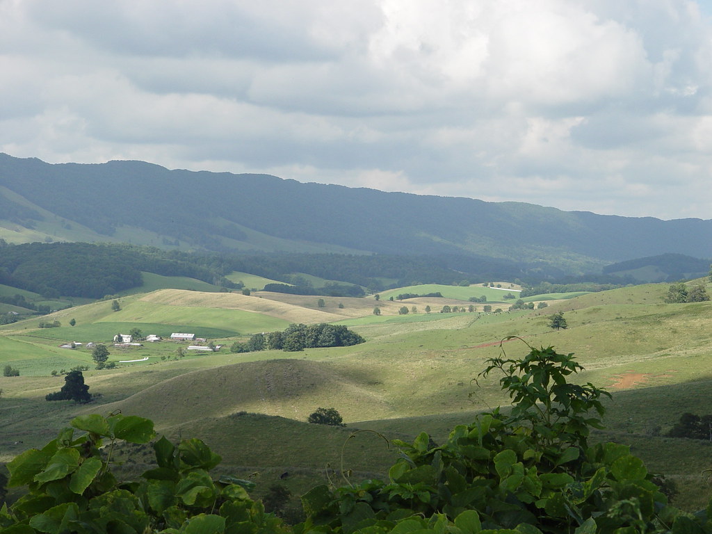
view from Walker Mountain- Smyth County VA

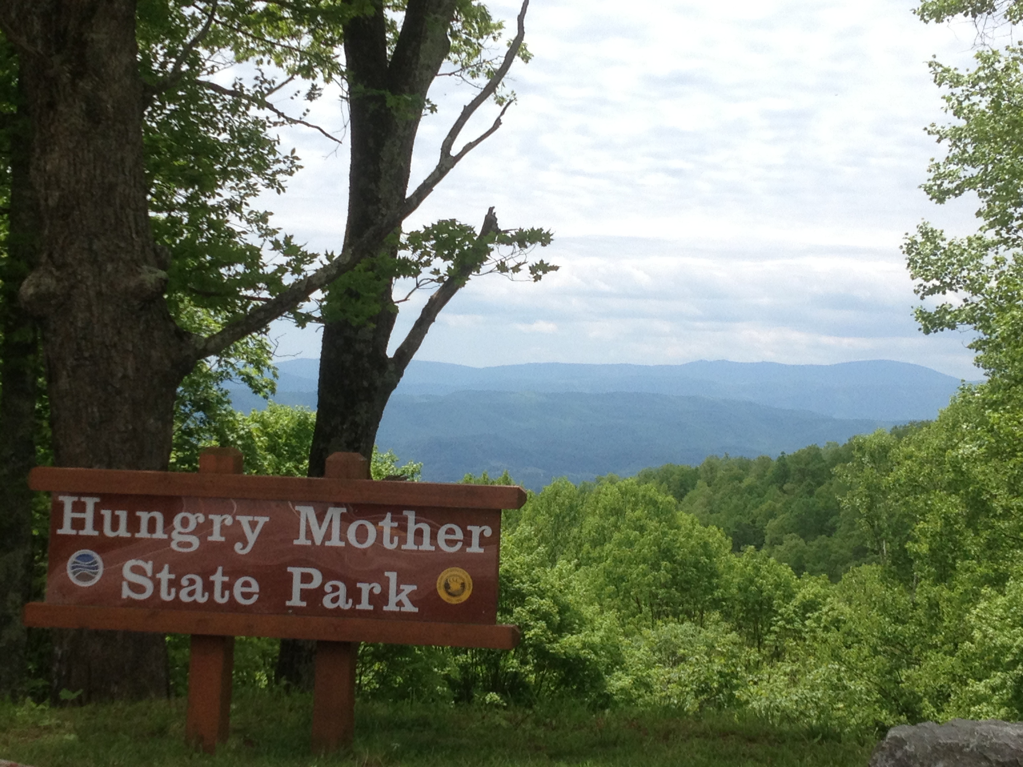
Pulled over for a quick view

HM_Winter Wonderland_ESP

HM_Winter Views_ESP

Scenic View Surrounds Pisgah United Methodist Church.

Scenic Homestead View.

Parking Lot.

Capturing The View - Back Of The Dragon, Tazewell, VA

THOMPSON VALLEY
THOMPSON VALLEY

THOMPSON VALLEY

THOMPSON VALLEY

THOMPSON VALLEY
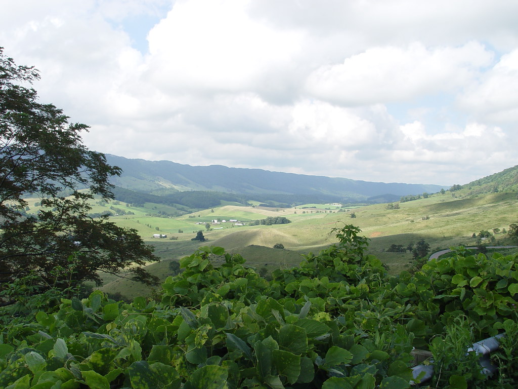
THOMPSON VALLEY

THOMPSON VALLEY

THOMPSON VALLEY

My job neighbors. #swva #appalachia #virginia #rurallife #farmanimals #sheep #donkey #tazewellcounty #baaa #autumn #october #cute

Thompson Valley from Back Of The Dragon - Tazewell, VA
THOMPSON VALLEY
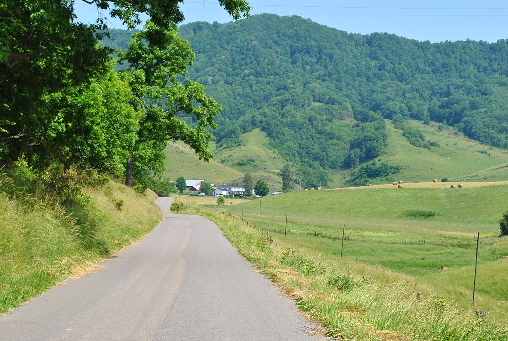
THE COVE
THE COVE

THE COVE

Old Homestaed House

THOMPSON VALLEY

THE COVE

THE COVE

THE COVE
Topographic Map of Veterans Rd, Tannersville, VA, USA
Find elevation by address:

Places near Veterans Rd, Tannersville, VA, USA:
888 Little Valley Rd
Tannersville
2000 Freestone Valley Rd
1914 Maiden Springs Rd
Thompson St, Tazewell, VA, USA
2804 Freestone Valley Rd
Armstrong Hollow Lane
Armstrong Hollow Lane
103 Horton Hollow Rd
Roundtop Cir, Saltville, VA, USA
Boots Street
Hill Lane
North Fork
261 Gillespie Hollow Rd
Still House Hollow Road
Branch Road
3820 Witten Valley Rd
Pounding Mill
1869 Midway Rd
Claypool Hill
Recent Searches:
- Elevation of Jadagoniai, Kaunas District Municipality, Lithuania
- Elevation of Pagonija rock, Kranto 7-oji g. 8"N, Kaunas, Lithuania
- Elevation of Co Rd 87, Jamestown, CO, USA
- Elevation of Tenjo, Cundinamarca, Colombia
- Elevation of Côte-des-Neiges, Montreal, QC H4A 3J6, Canada
- Elevation of Bobcat Dr, Helena, MT, USA
- Elevation of Zu den Ihlowbergen, Althüttendorf, Germany
- Elevation of Badaber, Peshawar, Khyber Pakhtunkhwa, Pakistan
- Elevation of SE Heron Loop, Lincoln City, OR, USA
- Elevation of Slanický ostrov, 01 Námestovo, Slovakia