Elevation of Vernon, AZ, USA
Location: United States > Arizona > Apache County > Vernon >
Longitude: -109.68773
Latitude: 34.2704503
Elevation: 2095m / 6873feet
Barometric Pressure: 79KPa
Elevation Map:
Satellite Map:
Related Photos:

20181207-FS-APACHE-SITGREAVES-LSC-0058

20181207-FS-APACHE-SITGREAVES-LSC-0054

#goodmorning #newmexico #nmroads #moon #fullmoon #roads #onmywaytowork #morningdrive #color #landscape

God's Country, Show Low, AZ
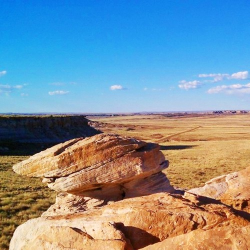
Slant Rock. ##geology #nps #blue_planet #parkservice #arizona #instagramaz #instaaz #petrifiedforest

Great afternoon light. Petrified National Park #petrifiedforest #instagramaz #instaaz #blue_planet #arizona #nps #parkservice #skyporn

The Old Ranch
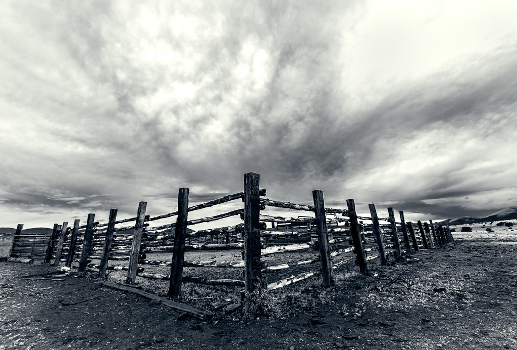
El Corral
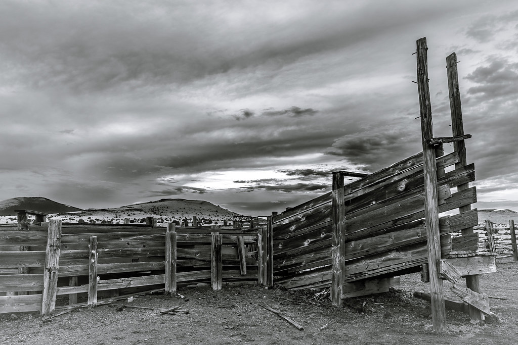
Old Chute
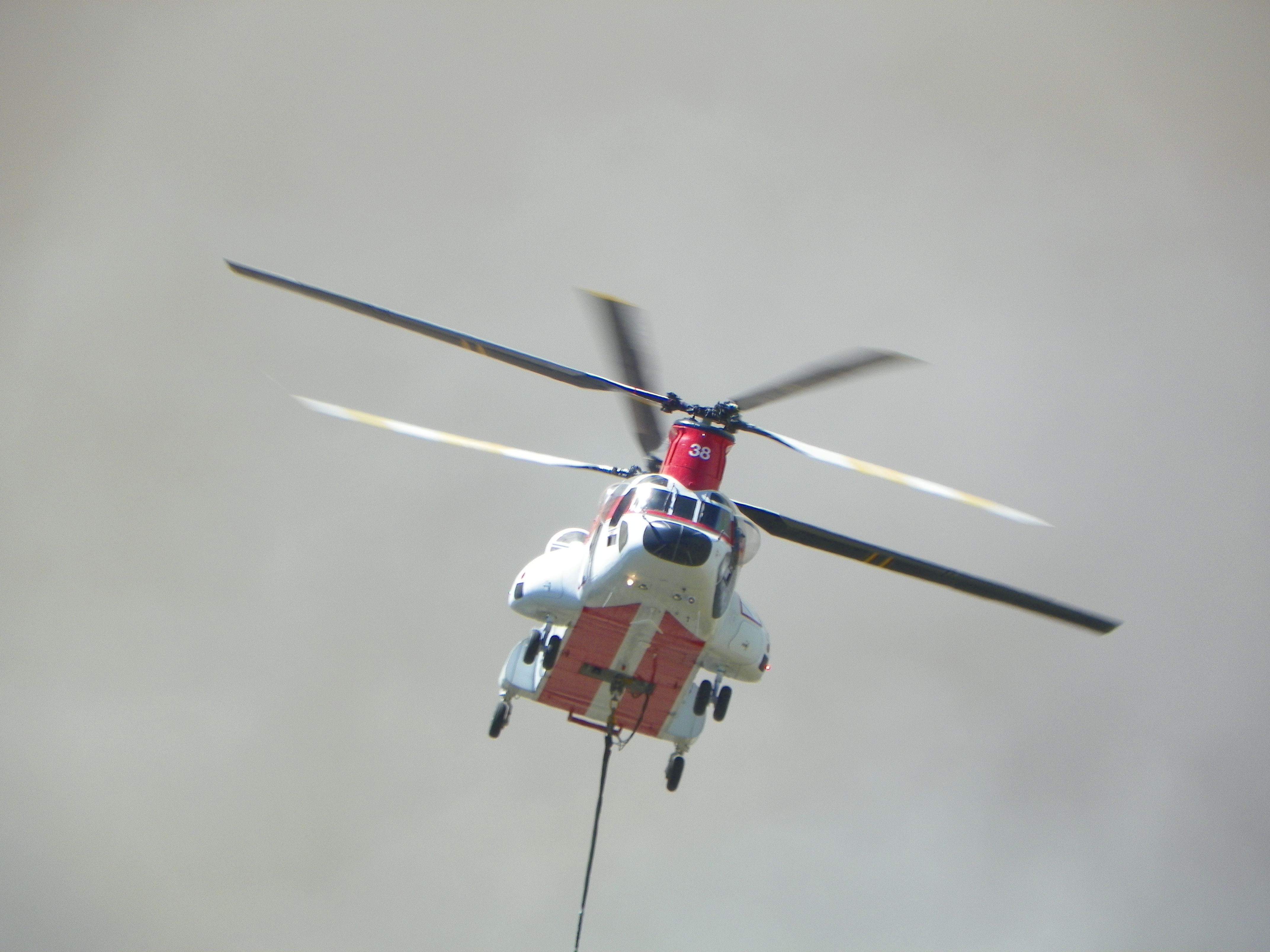
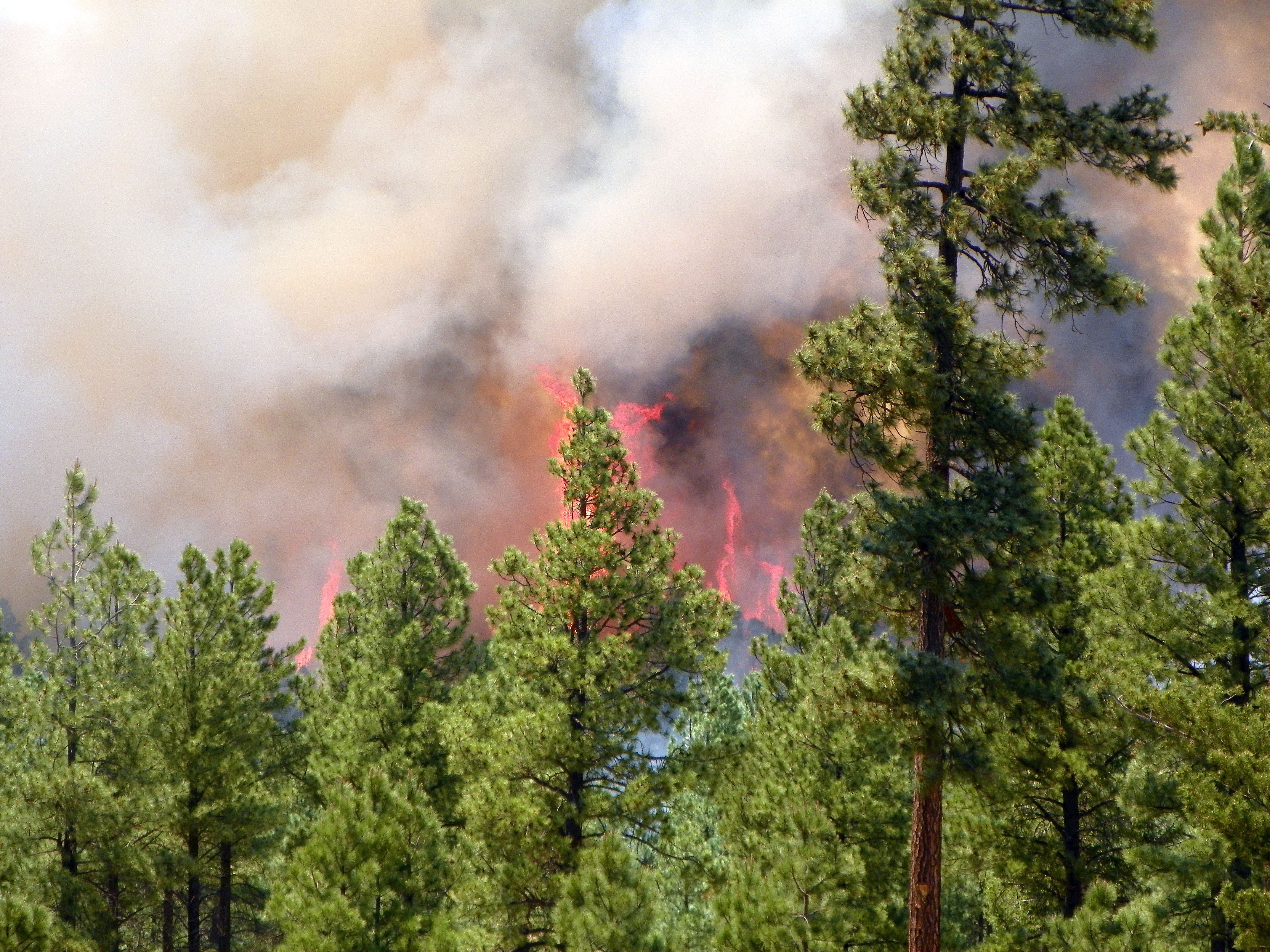
N238CH, SAN JUAN FIRE, 6-27-14
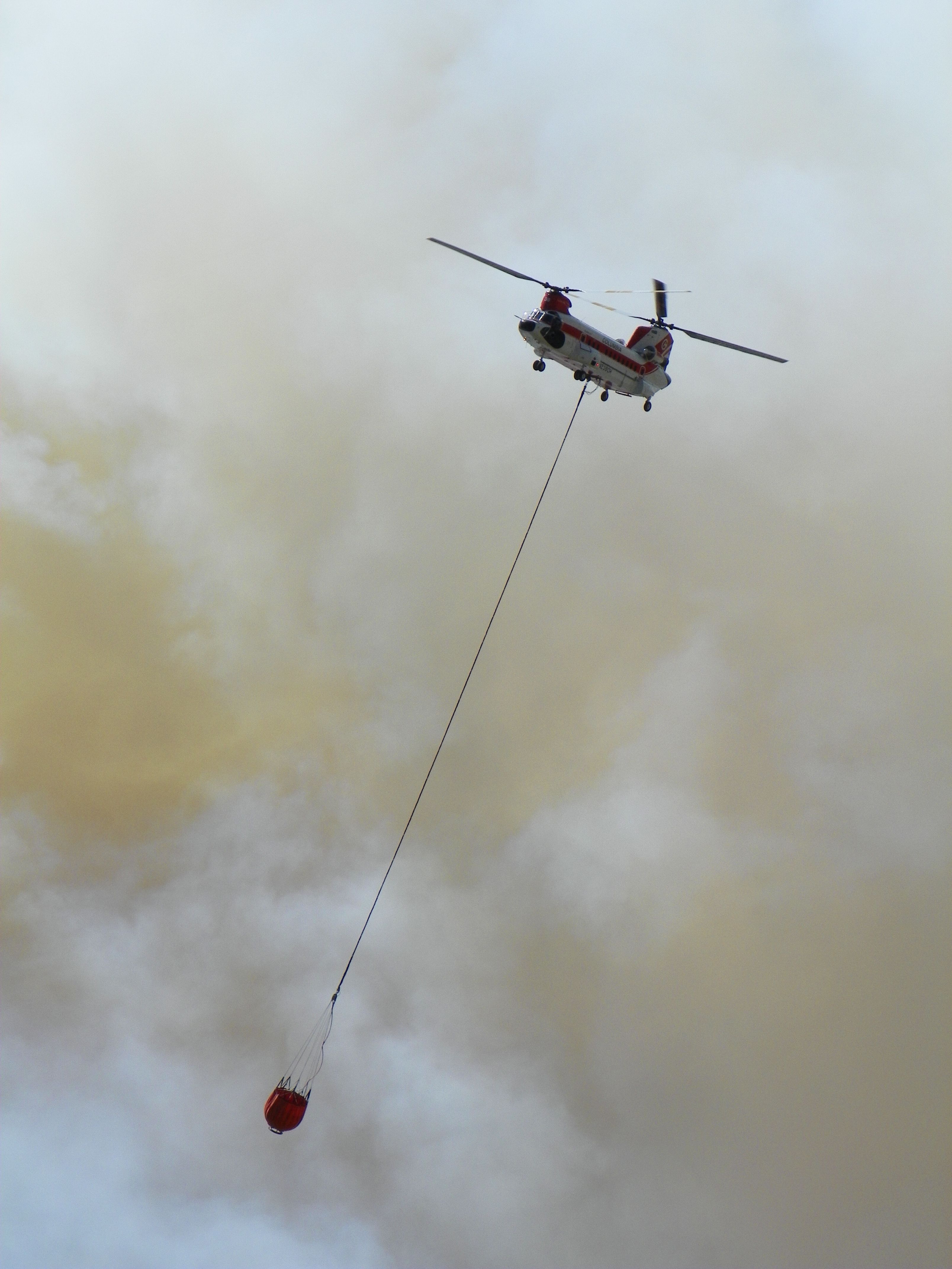
N238CH, VERTOL, SAN JUAN FIRE, 6-27-14

Buckelew Spring waterfall2

A Little Paint, She's Good As New
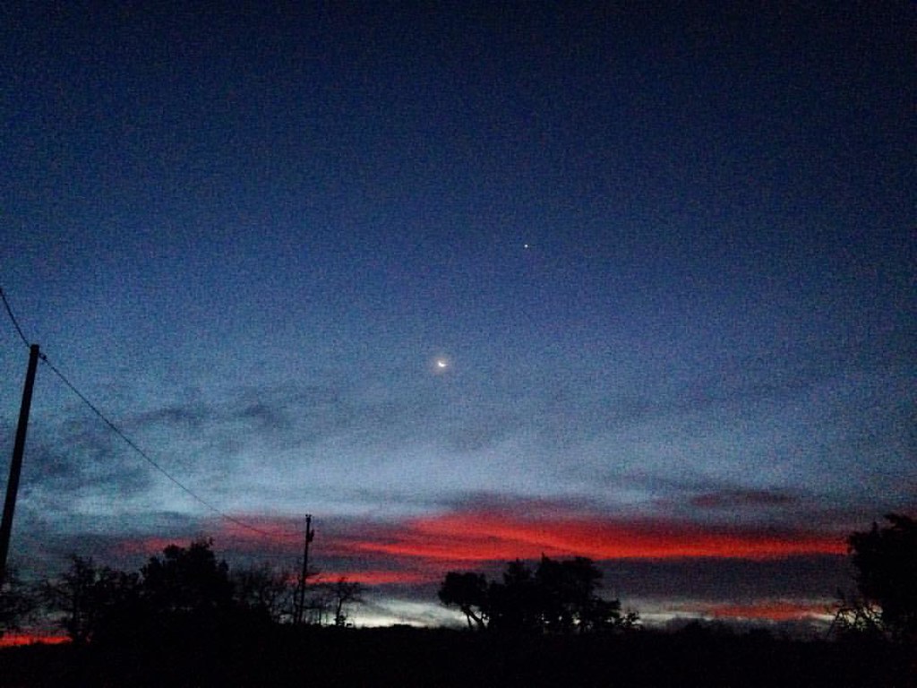
#nm #nmsunrise #NavajoRez #newmexico #sunrise #beautiful #color #moon

YOU CAN NOT MAKE THIS SHIT UP! -#JMFH #ShitYouNot #JasonLeeLenox #GingerFreakness
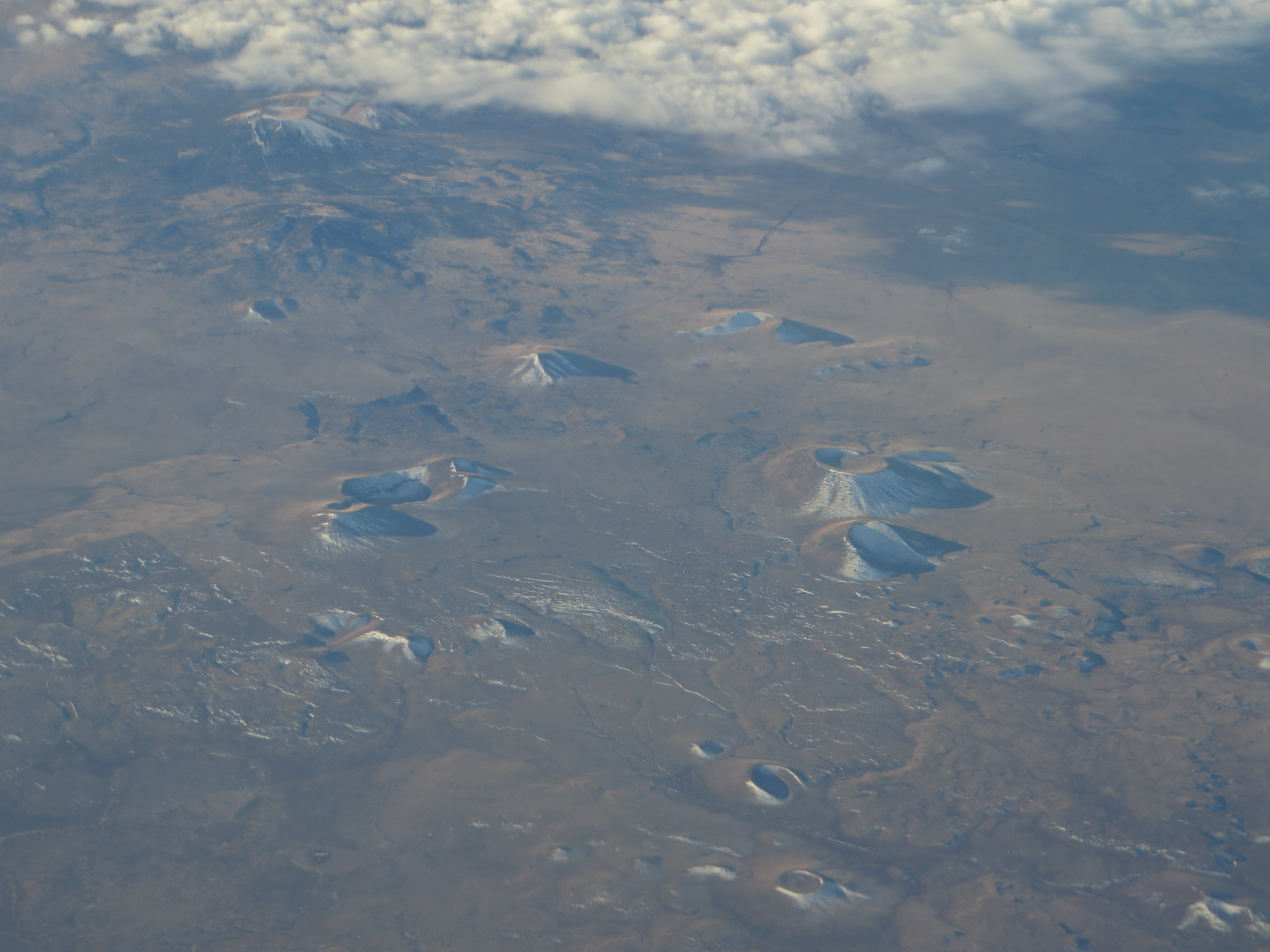
Cinder Cones Near Concho, Arizona
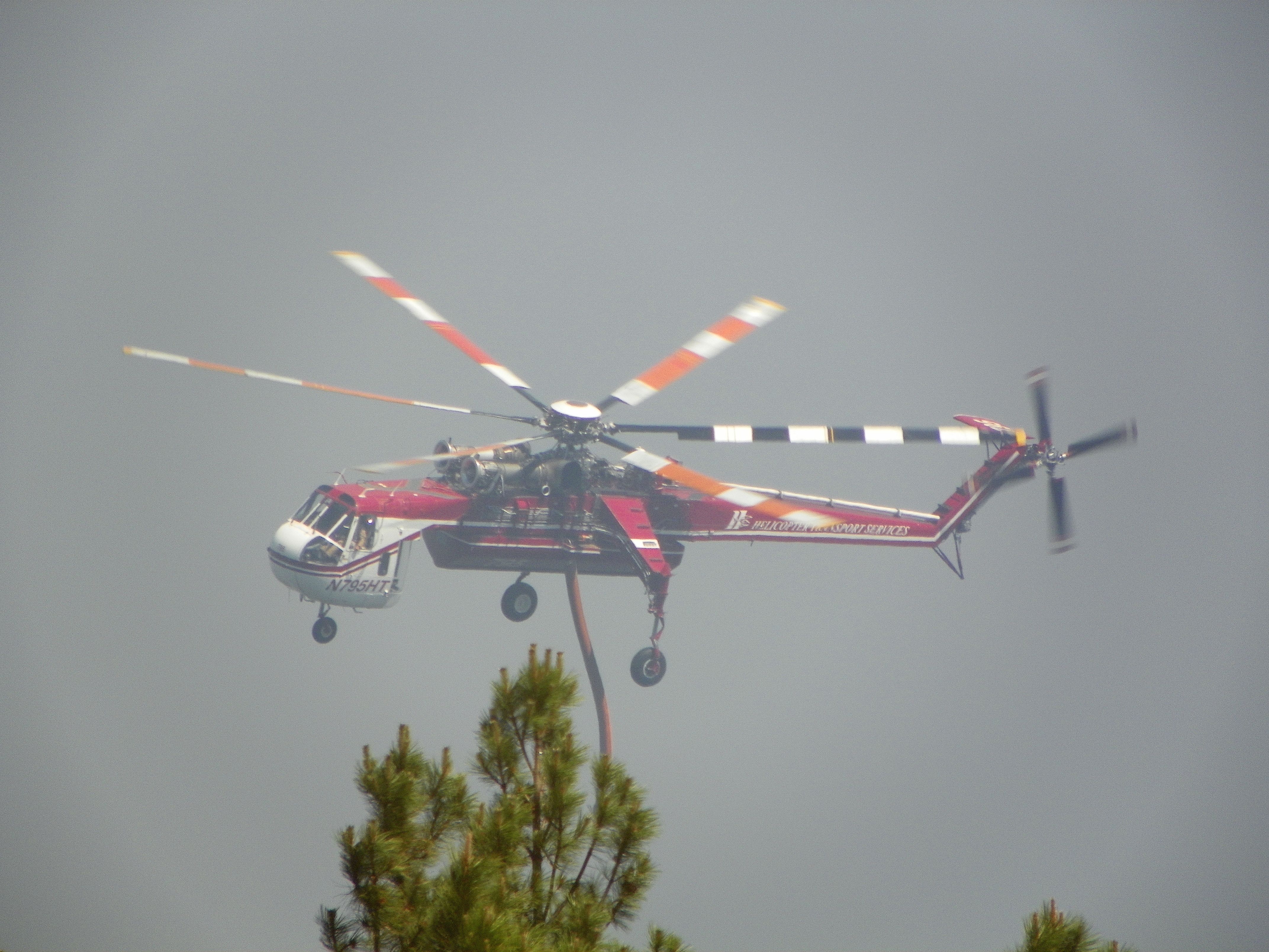
N795HT, SAN JUAN FIRE, 6-27-14

TANKER 103, DIV. ZULU, SAN JUAN FIRE, 6-27-14

DIVISION ZULU, SAN JUAN FIRE, 6-27-14 (1)
DIVISION ZULU, SAN JUAN FIRE, 6-27-14 (3)

2014-06-02 07.49.08

2014-06-02 08.04.19

2014-06-02 19.39.40
Topographic Map of Vernon, AZ, USA
Find elevation by address:

Places near Vernon, AZ, USA:
Vernon
3069 The Lords Way
3139 County Rd 3139
3139 County Rd 3139
County Road North
35775 Us-60
9286 Grizzly Bear Rd
Lakeside, AZ, USA
6615 Tall Pine Dr
3236 Turkey Track Rd
Porter Mountain Road
5355 Branding Iron Loop
3248 Viking Trail
5032 Black Panther Loop
2603 Poplar Dr
3644 Country Club Cir
2812 Gooseberry Rd
Pinetop
1551 E White Mountain Blvd
2163 Creekside Ct
Recent Searches:
- Elevation of Great Brook Sports, Gold Star Hwy, Groton, CT, USA
- Elevation of 10 Mountain Laurels Dr, Nashua, NH, USA
- Elevation of 16 Gilboa Ln, Nashua, NH, USA
- Elevation of Laurel Rd, Townsend, TN, USA
- Elevation of 3 Nestling Wood Dr, Long Valley, NJ, USA
- Elevation of Ilungu, Tanzania
- Elevation of Yellow Springs Road, Yellow Springs Rd, Chester Springs, PA, USA
- Elevation of Rēzekne Municipality, Latvia
- Elevation of Plikpūrmaļi, Vērēmi Parish, Rēzekne Municipality, LV-, Latvia
- Elevation of 2 Henschke Ct, Caboolture QLD, Australia