Elevation of US-60, Vernon, AZ, USA
Location: United States > Arizona > Apache County > Vernon >
Longitude: -109.75498
Latitude: 34.2750013
Elevation: 2110m / 6923feet
Barometric Pressure: 78KPa
Elevation Map:
Satellite Map:
Related Photos:
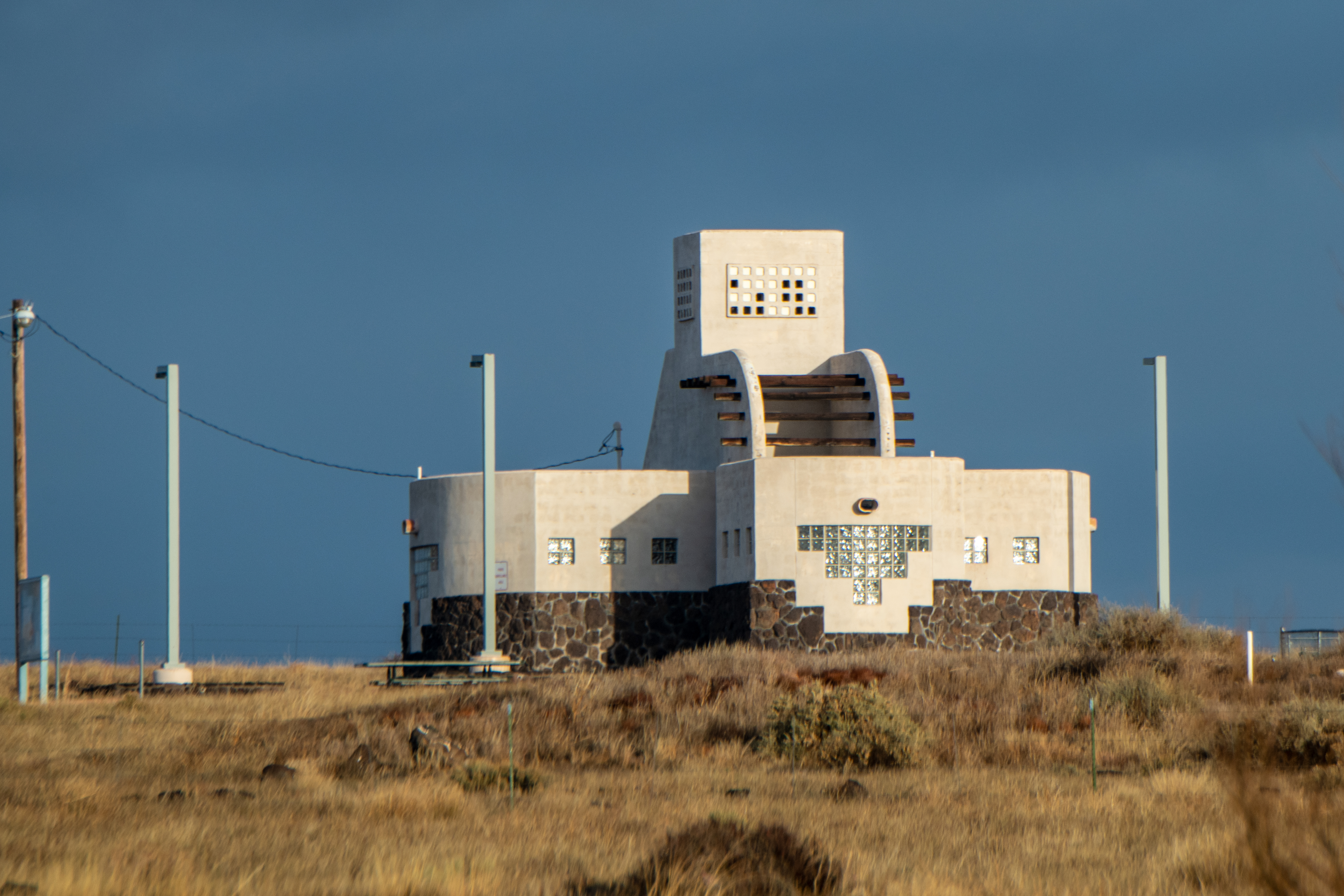
20181207-FS-APACHE-SITGREAVES-LSC-0058

20181207-FS-APACHE-SITGREAVES-LSC-0054

#goodmorning #newmexico #nmroads #moon #fullmoon #roads #onmywaytowork #morningdrive #color #landscape

God's Country, Show Low, AZ
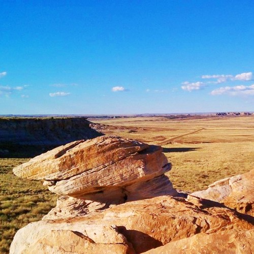
Slant Rock. ##geology #nps #blue_planet #parkservice #arizona #instagramaz #instaaz #petrifiedforest
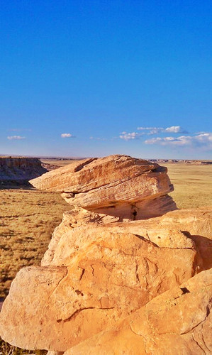
Park Week
Topographic Map of US-60, Vernon, AZ, USA
Find elevation by address:

Places near US-60, Vernon, AZ, USA:
County Road North
Vernon
3139 County Rd 3139
3139 County Rd 3139
3069 The Lords Way
Vernon, AZ, USA
9286 Grizzly Bear Rd
Lakeside, AZ, USA
Porter Mountain Road
6615 Tall Pine Dr
3236 Turkey Track Rd
5355 Branding Iron Loop
3248 Viking Trail
5032 Black Panther Loop
2603 Poplar Dr
3644 Country Club Cir
Pinetop
1392 N Springer Mountain Dr
2812 Gooseberry Rd
1551 E White Mountain Blvd
Recent Searches:
- Elevation of Sattva Horizon, 4JC6+G9P, Vinayak Nagar, Kattigenahalli, Bengaluru, Karnataka, India
- Elevation of Great Brook Sports, Gold Star Hwy, Groton, CT, USA
- Elevation of 10 Mountain Laurels Dr, Nashua, NH, USA
- Elevation of 16 Gilboa Ln, Nashua, NH, USA
- Elevation of Laurel Rd, Townsend, TN, USA
- Elevation of 3 Nestling Wood Dr, Long Valley, NJ, USA
- Elevation of Ilungu, Tanzania
- Elevation of Yellow Springs Road, Yellow Springs Rd, Chester Springs, PA, USA
- Elevation of Rēzekne Municipality, Latvia
- Elevation of Plikpūrmaļi, Vērēmi Parish, Rēzekne Municipality, LV-, Latvia