Elevation of Vanala, Andhra Pradesh, India
Location: India > Andhra Pradesh > Kurnool >
Longitude: 78.4567223
Latitude: 15.7452811
Elevation: 272m / 892feet
Barometric Pressure: 98KPa
Elevation Map:
Satellite Map:
Related Photos:

Woman@Work
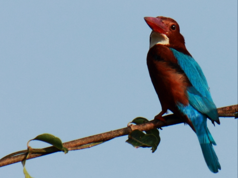
white throated kingfisher
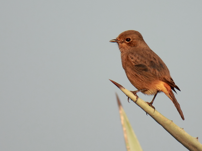
Pied Bush Chat (Female)

Eurasian collared dove

eurasian collared dove

gray francolin

Laughing Dove

Siberian Stonechat
Topographic Map of Vanala, Andhra Pradesh, India
Find elevation by address:

Places near Vanala, Andhra Pradesh, India:
Mittakandala
Allagadda
Parumanchala
P.lingapuram
Pamulapadu
Tarigopula
Erragudur
Thummalur
Bhanumukkala
Iskala
Jupadu Bangla
Pothulapadu
Nallakaluva Narasimha Swamy Temple
Karivena
Kokkerancha
Chintala Palle
Midthur Road
Tartur
Edurupadu
Gorakallu
Recent Searches:
- Elevation of Sadovaya Ulitsa, 20, Rezh, Sverdlovskaya oblast', Russia
- Elevation of Ulitsa Kalinina, 79, Rezh, Sverdlovskaya oblast', Russia
- Elevation of 72-31 Metropolitan Ave, Middle Village, NY, USA
- Elevation of 76 Metropolitan Ave, Brooklyn, NY, USA
- Elevation of Alisal Rd, Solvang, CA, USA
- Elevation of Vista Blvd, Sparks, NV, USA
- Elevation of 15th Ave SE, St. Petersburg, FL, USA
- Elevation of Beall Road, Beall Rd, Florida, USA
- Elevation of Leguwa, Nepal
- Elevation of County Rd, Enterprise, AL, USA