Elevation of Mittakandala, Andhra Pradesh, India
Location: India > Andhra Pradesh > Kurnool >
Longitude: 78.4766152
Latitude: 15.8041222
Elevation: 289m / 948feet
Barometric Pressure: 98KPa
Elevation Map:
Satellite Map:
Related Photos:
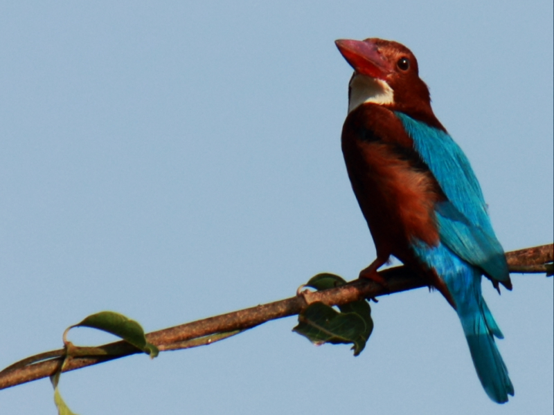
white throated kingfisher
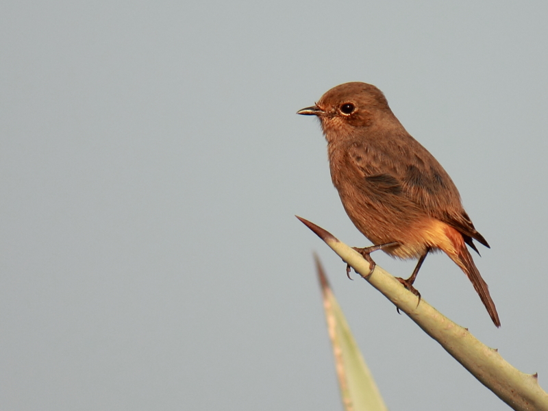
Pied Bush Chat (Female)

Eurasian collared dove

eurasian collared dove

gray francolin

Laughing Dove

Siberian Stonechat
Topographic Map of Mittakandala, Andhra Pradesh, India
Find elevation by address:

Places near Mittakandala, Andhra Pradesh, India:
Pamulapadu
Erragudur
Vanala
Tarigopula
Iskala
P.lingapuram
Thummalur
Bhanumukkala
Parumanchala
Karivena
Pothulapadu
Nallakaluva Narasimha Swamy Temple
Kokkerancha
Jupadu Bangla
Edurupadu
Allagadda
Nandikunta
Atmakur
Sri Yellama Temple , M.ganapuram(village)
Kurukunda
Recent Searches:
- Elevation of Beall Road, Beall Rd, Florida, USA
- Elevation of Leguwa, Nepal
- Elevation of County Rd, Enterprise, AL, USA
- Elevation of Kolchuginsky District, Vladimir Oblast, Russia
- Elevation of Shustino, Vladimir Oblast, Russia
- Elevation of Lampiasi St, Sarasota, FL, USA
- Elevation of Elwyn Dr, Roanoke Rapids, NC, USA
- Elevation of Congressional Dr, Stevensville, MD, USA
- Elevation of Bellview Rd, McLean, VA, USA
- Elevation of Stage Island Rd, Chatham, MA, USA