Elevation of Van Buren County, IA, USA
Location: United States > Iowa >
Longitude: -91.909923
Latitude: 40.7001158
Elevation: 222m / 728feet
Barometric Pressure: 99KPa
Elevation Map:
Satellite Map:
Related Photos:
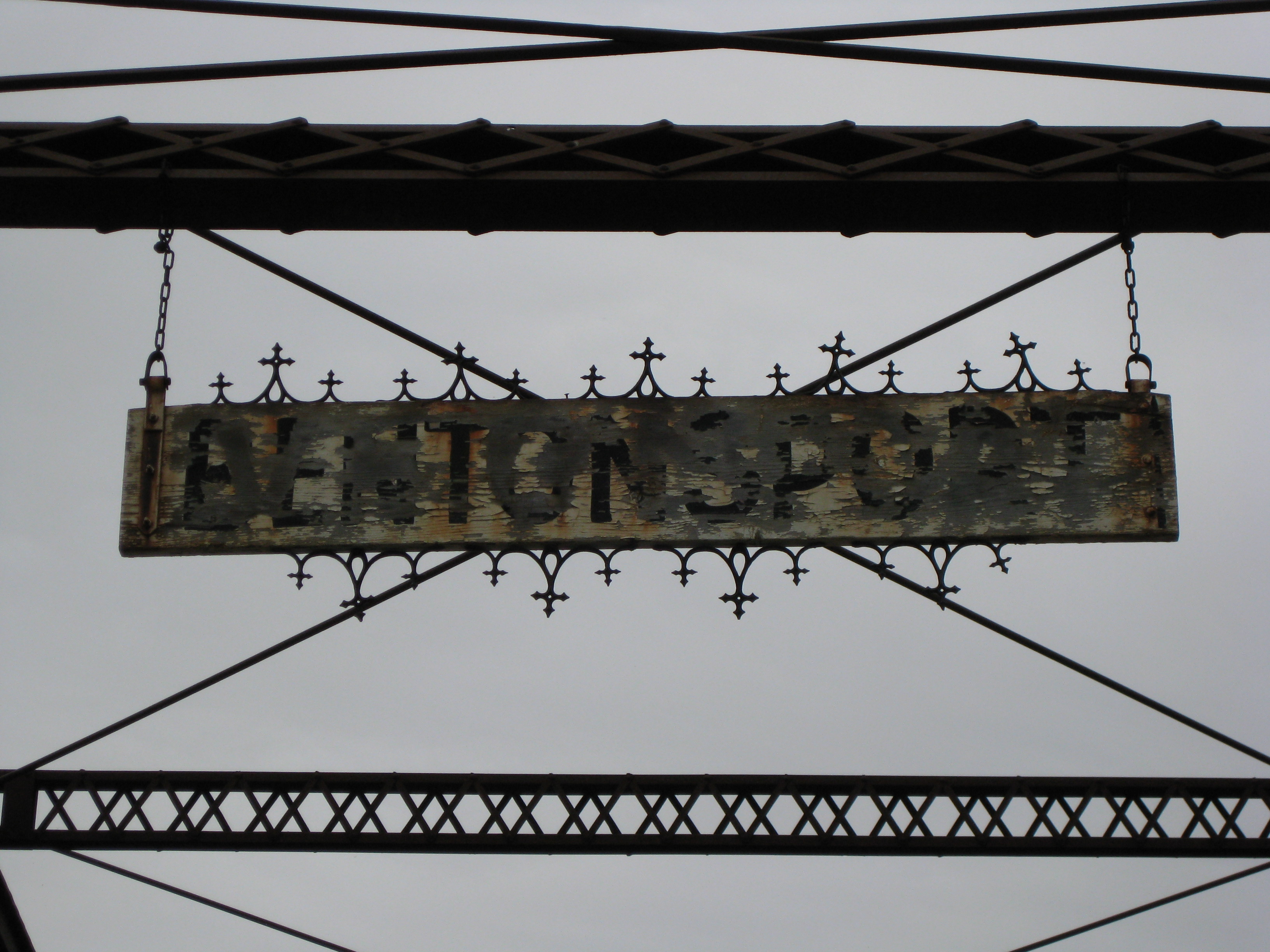
view from vernon

Keosauqua, Iowa, Van Buren County, Hospital

View from the Lacey Keosauqua State Park.
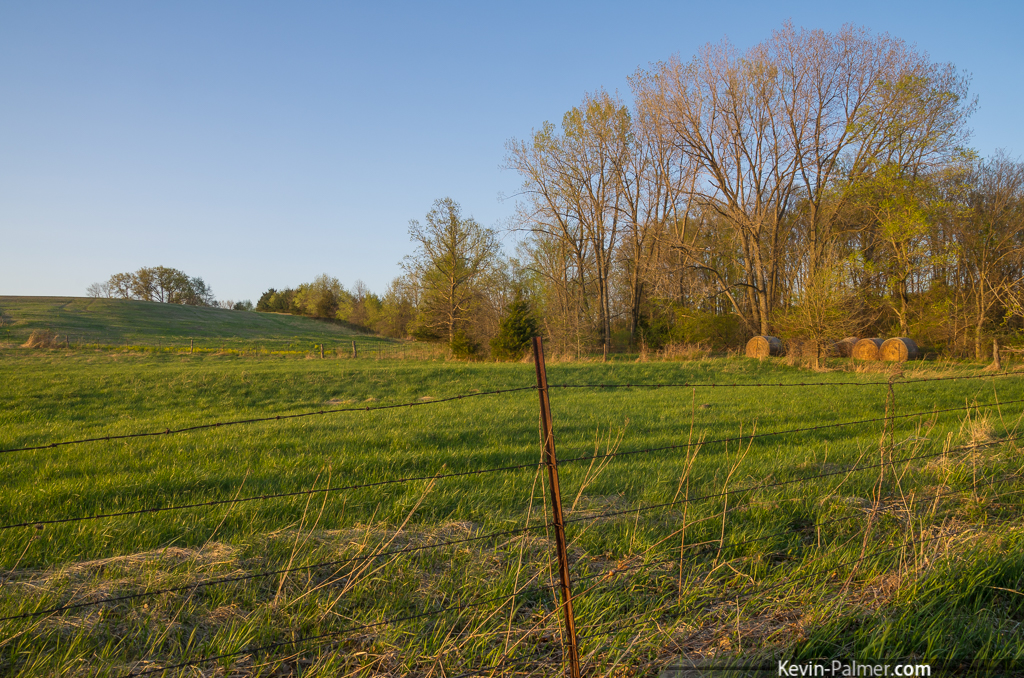
The Grass is Greener

Beautiful Clouds
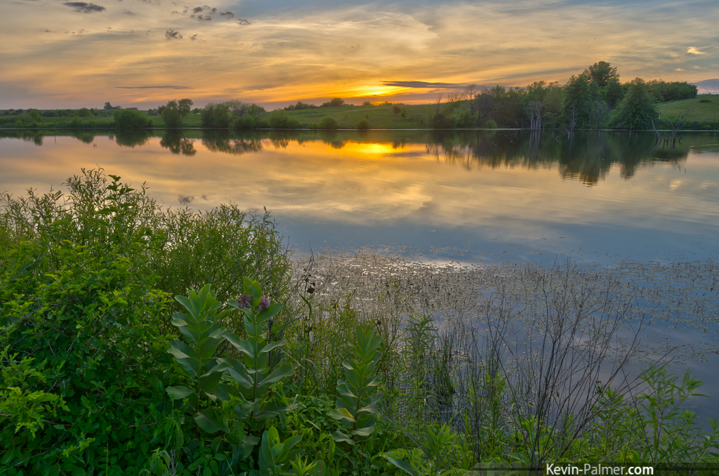
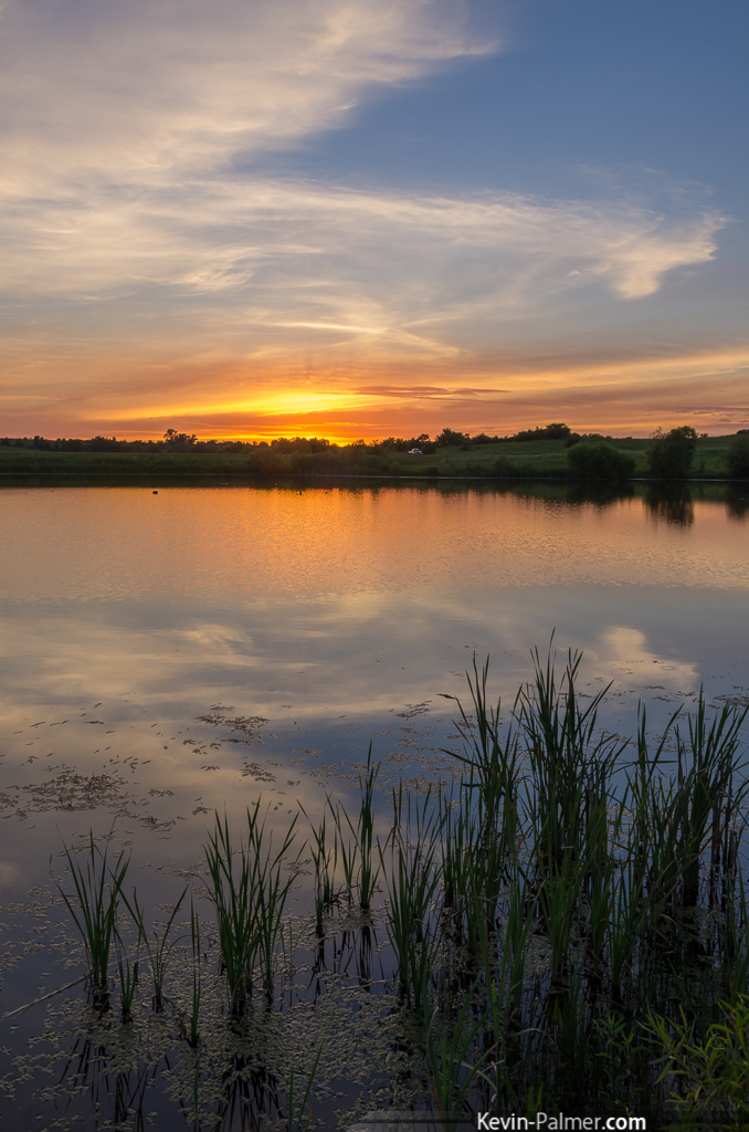
Iowa Pond Sunset
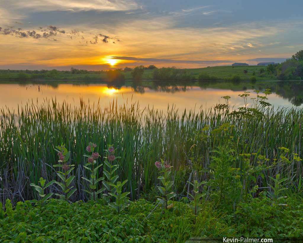
Rural Iowa Sunset
Keosauqua Dusk

Spongy Sandstone

Beautiful Sunset
Golden Pond

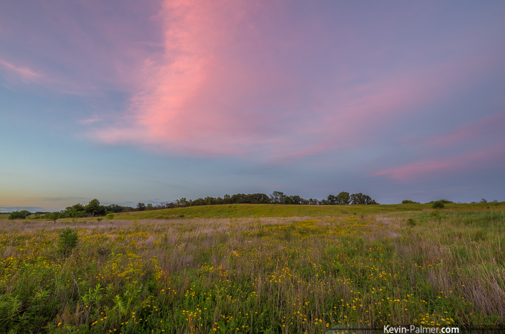
Red Wing Yellow Field
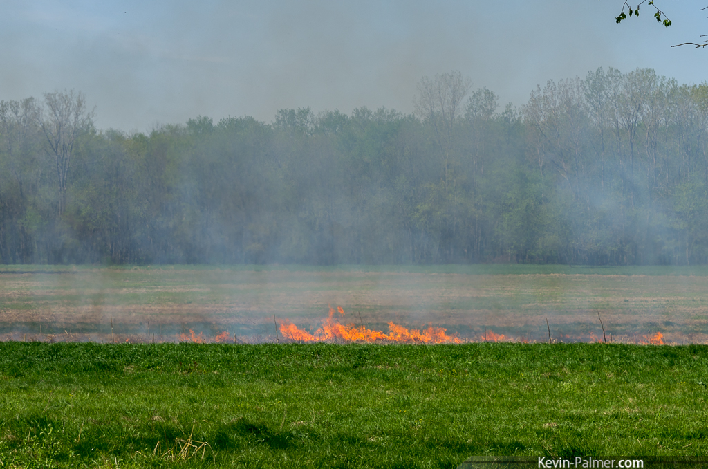
Controlled Burn

Strawberry Festival 2011
Muddy Des Moines

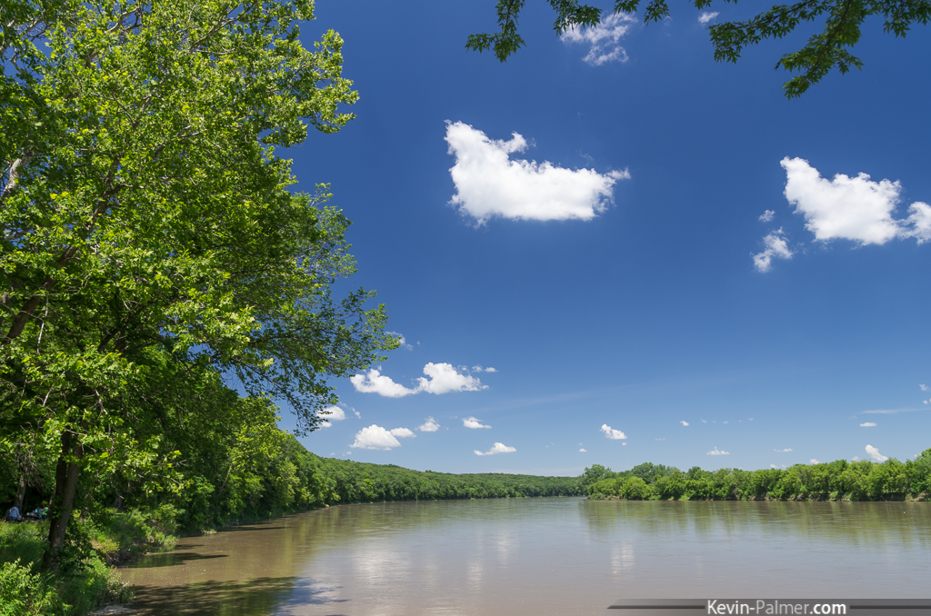
Des Moines River

IMG_5659-1 LR

IMG_5661-1 LR

Des Moines River

IMG_6270-23 LR

Milky Motion

IMG_6283-36 LR

IMG_6274-27 LR

IMG_6279-32 LR

Des Moines River
Topographic Map of Van Buren County, IA, USA
Find elevation by address:

Places in Van Buren County, IA, USA:
Places near Van Buren County, IA, USA:
Division St, Cantril, IA, USA
Cantril
Jackson
th St, Farmington, IA, USA
Milton
Old Fairgrounds
Cedar
M K Phillips Construction
Union Township
Mount Hamill
th Ave, Donnellson, IA, USA
Revere
Sweet Home Township
19696 County Rd 564
th Ave, Donnellson, IA, USA
Kahoka
Scotland County
W Monroe St, Memphis, MO, USA
Memphis
Jackson St, South Gorin, MO, USA
Recent Searches:
- Elevation of Corso Fratelli Cairoli, 35, Macerata MC, Italy
- Elevation of Tallevast Rd, Sarasota, FL, USA
- Elevation of 4th St E, Sonoma, CA, USA
- Elevation of Black Hollow Rd, Pennsdale, PA, USA
- Elevation of Oakland Ave, Williamsport, PA, USA
- Elevation of Pedrógão Grande, Portugal
- Elevation of Klee Dr, Martinsburg, WV, USA
- Elevation of Via Roma, Pieranica CR, Italy
- Elevation of Tavkvetili Mountain, Georgia
- Elevation of Hartfords Bluff Cir, Mt Pleasant, SC, USA