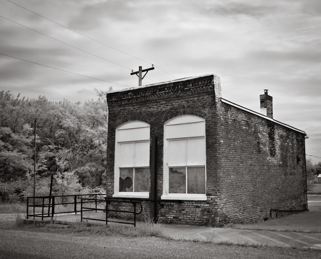
Elevation of Jackson St, South Gorin, MO, USA
Location: United States > Missouri > Scotland County > Harrison Township > South Gorin >
Longitude: -92.024537
Latitude: 40.360704
Elevation: 215m / 705feet
Barometric Pressure: 99KPa
Elevation Map:
Satellite Map:
Related Photos:
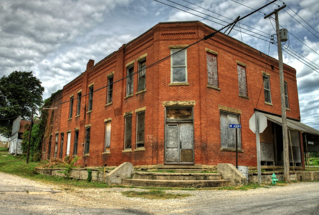
The long, slow fade into obscurity

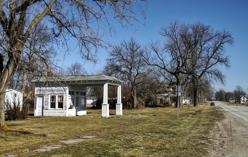
pastor's-eye view

No passing, no prospering zone
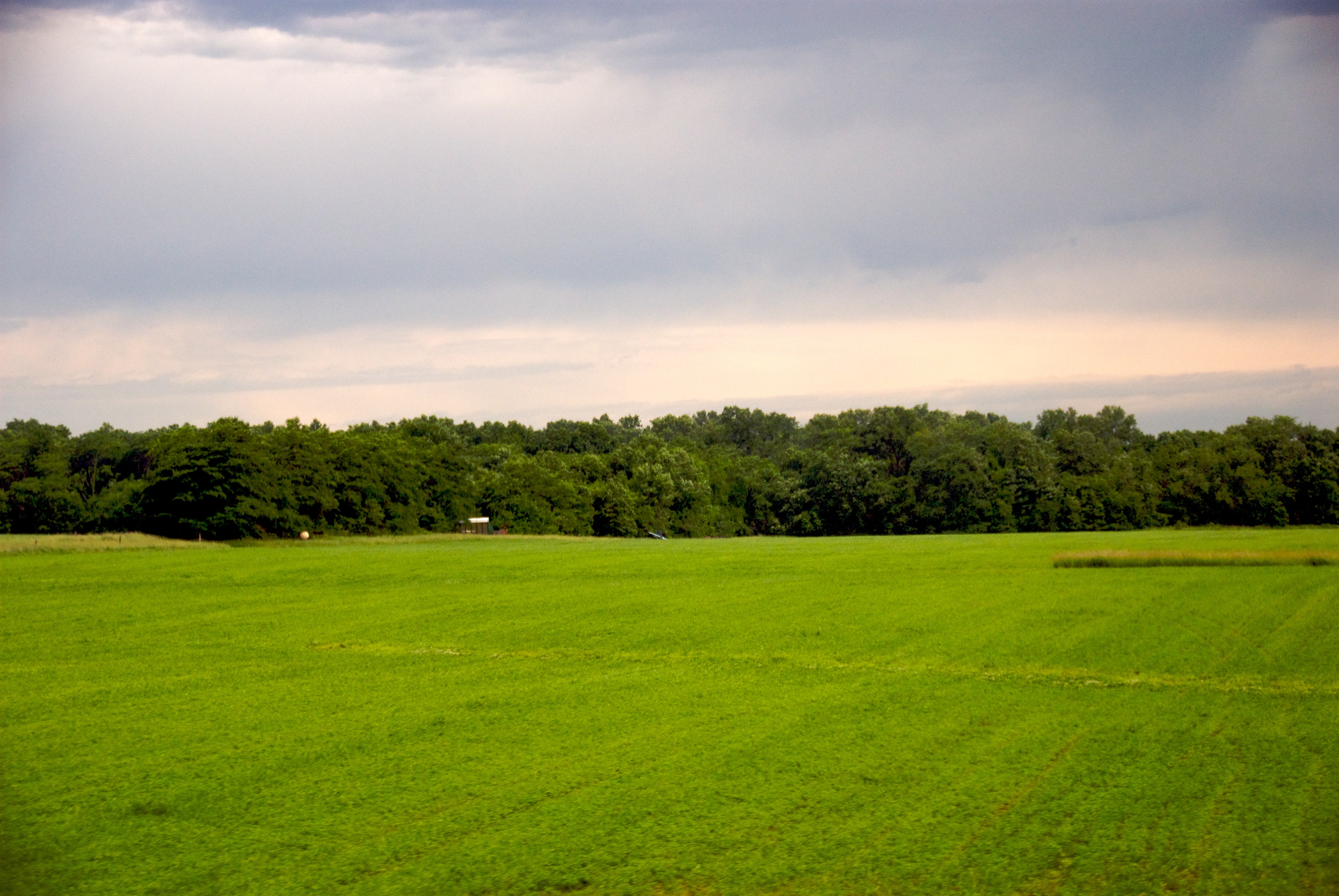
Green Field
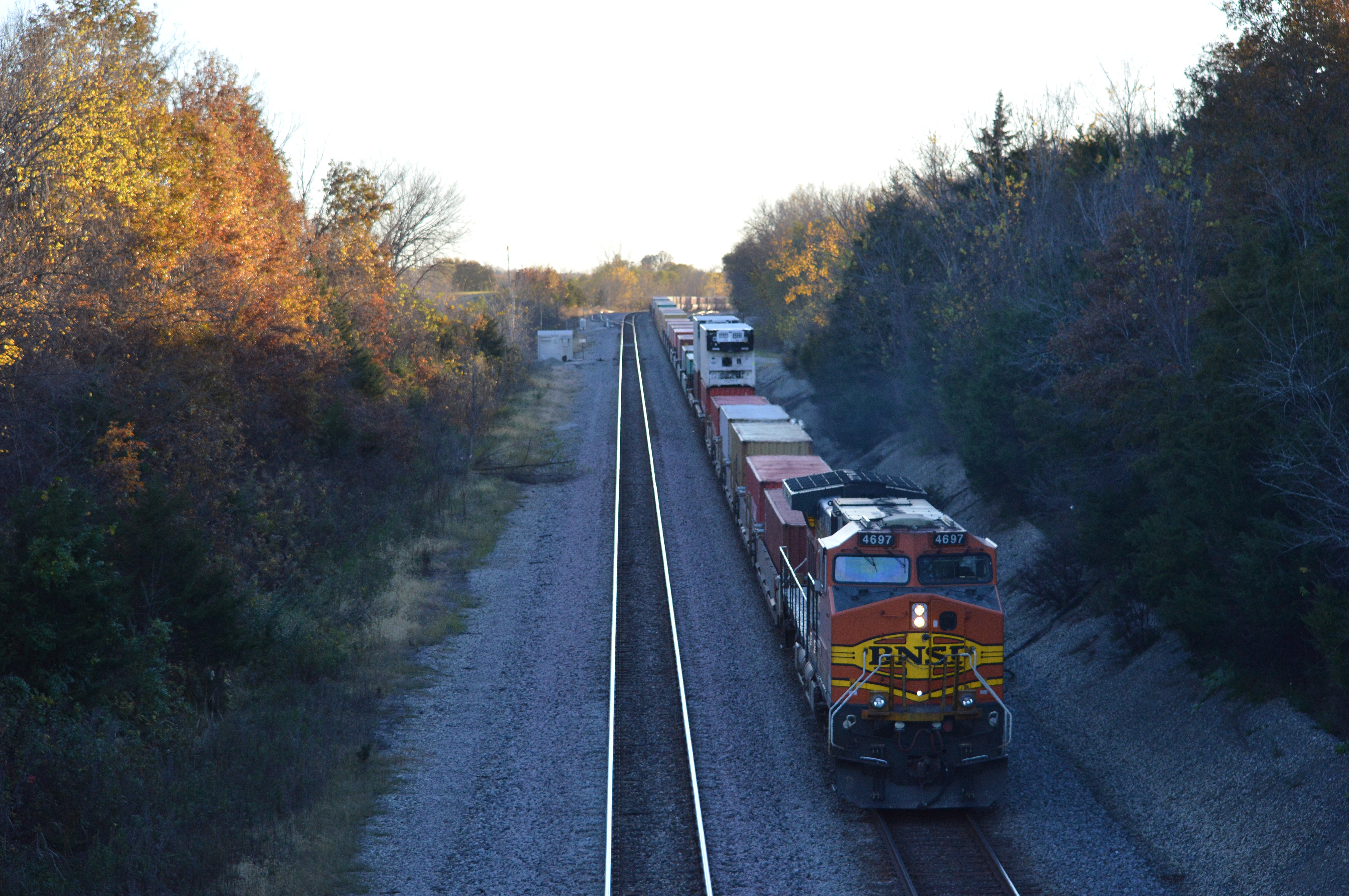
As the days ends I catch a westbound DPU at Rutlege Missouri .
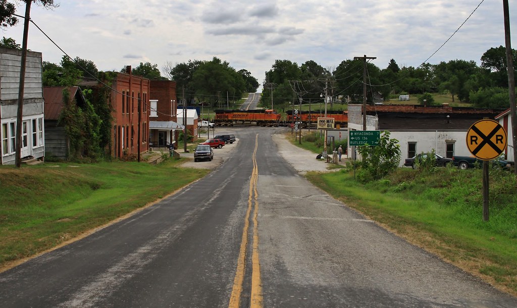
Rockin' through Gorin, Missouri

Hwy U. West 2 Blocks >
Padlocked past
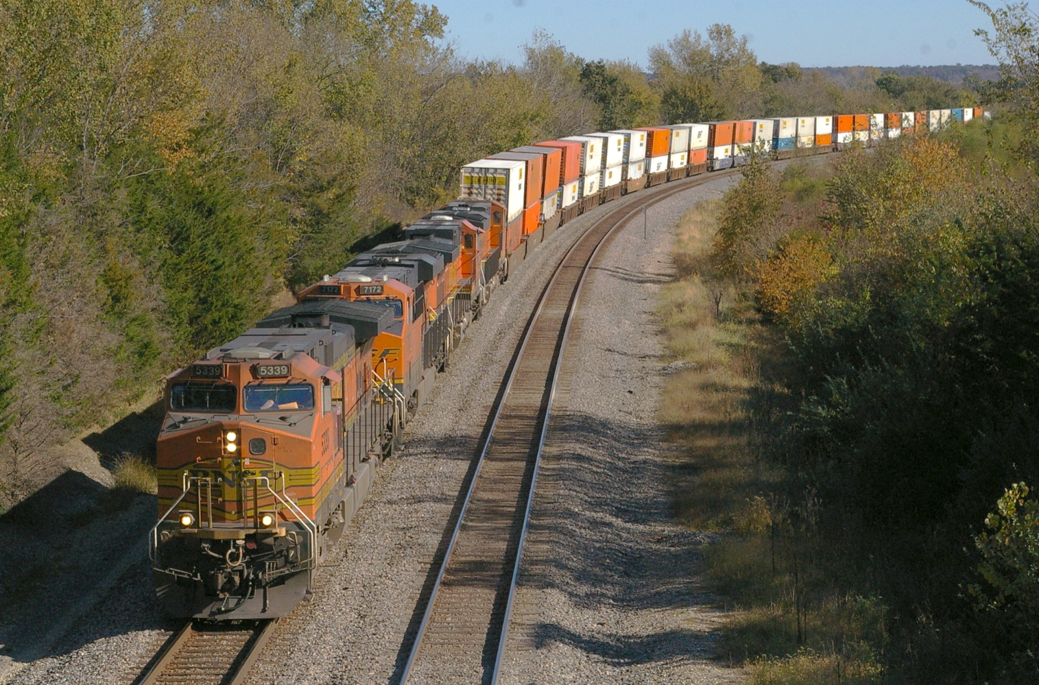
BNSF 5339 West
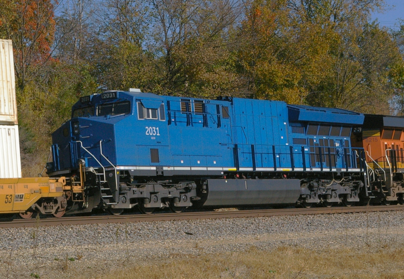
GECX 2031

Shelf cloud over farmhouse - near Memphis, Missouri

BNSF 8204 - 6/15/2014

BNSF 6706 westbound west of Wyaconda, MO

Southwest Chief dinner (Night 1)

Carving the last color block for "Critter Lands, Dancing Rabbit" begins! Soooo close!

Two awesome assistants yesterday, thanks Lety and SunGee!
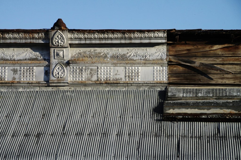
The beautiful crown is falling down
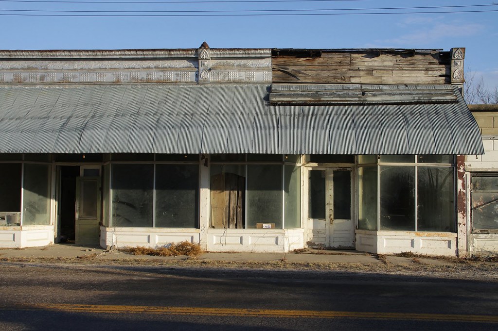
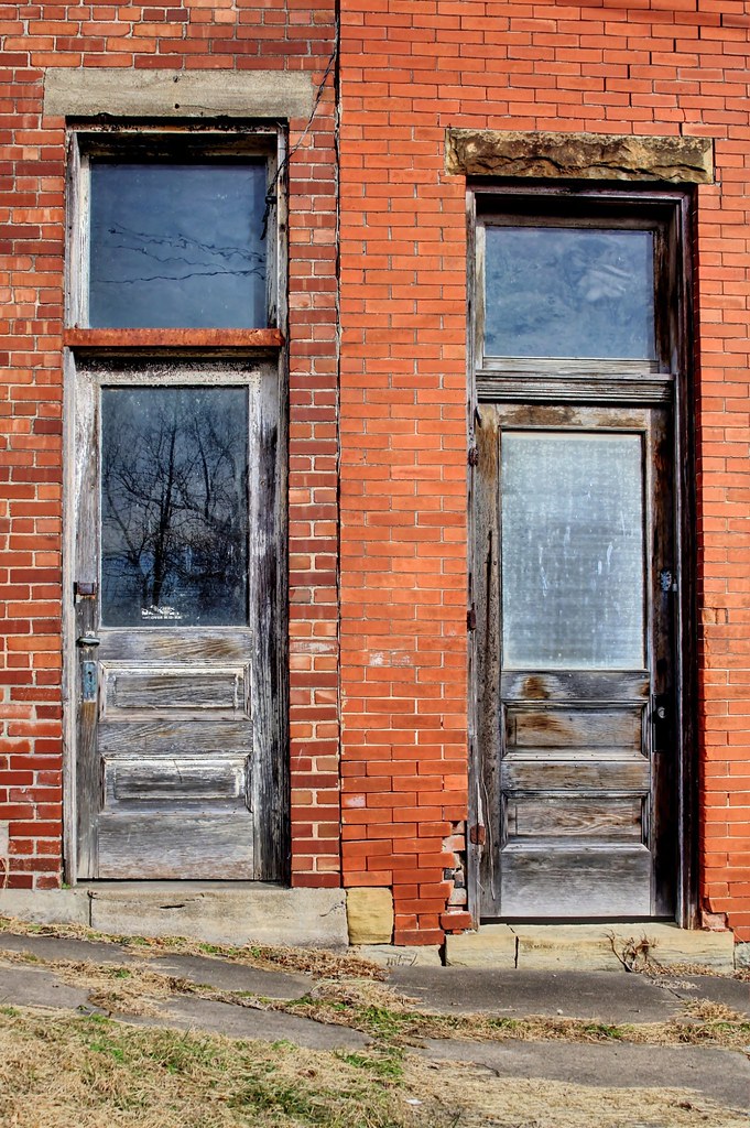
In better days they traded here . . .
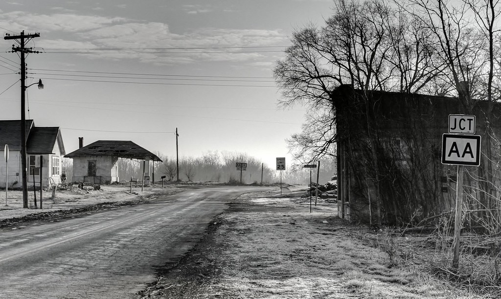
Junction Double A, Luray
Standing on the corner watching all the years go by
The history is deep here and so are the silences . . .

Scrolled Piano Finish Plaque
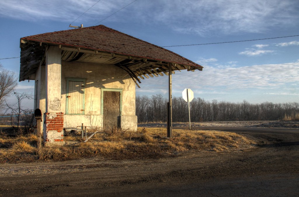
Post Office of Luray
Topographic Map of Jackson St, South Gorin, MO, USA
Find elevation by address:

Places near Jackson St, South Gorin, MO, USA:
South Gorin
Harrison Township
Jefferson Township
W Monroe St, Memphis, MO, USA
Memphis
19696 County Rd 564
Scotland County
Salvage Yard Road
M K Phillips Construction
29681 County Rd 236
Union Township
Union Township
Reddish Township
Knox County
Clark County
State Hwy H, Lewistown, MO, USA
Cantril
Division St, Cantril, IA, USA
Jackson
Kahoka
Recent Searches:
- Elevation of Corso Fratelli Cairoli, 35, Macerata MC, Italy
- Elevation of Tallevast Rd, Sarasota, FL, USA
- Elevation of 4th St E, Sonoma, CA, USA
- Elevation of Black Hollow Rd, Pennsdale, PA, USA
- Elevation of Oakland Ave, Williamsport, PA, USA
- Elevation of Pedrógão Grande, Portugal
- Elevation of Klee Dr, Martinsburg, WV, USA
- Elevation of Via Roma, Pieranica CR, Italy
- Elevation of Tavkvetili Mountain, Georgia
- Elevation of Hartfords Bluff Cir, Mt Pleasant, SC, USA