Elevation of Valley Forge Rd, Aynor, SC, USA
Location: United States > South Carolina > Horry County > Aynor >
Longitude: -79.056219
Latitude: 33.9938739
Elevation: 33m / 108feet
Barometric Pressure: 101KPa
Elevation Map:
Satellite Map:
Related Photos:

spring blooms

children of the corn
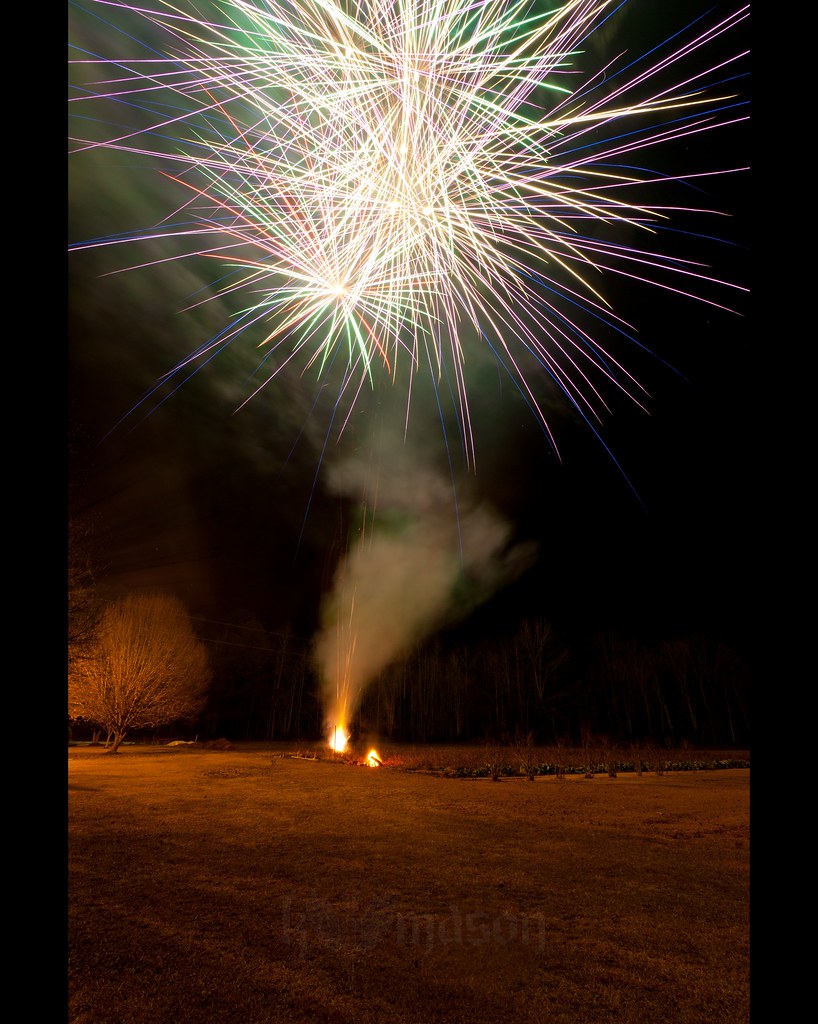
Happy New Year!
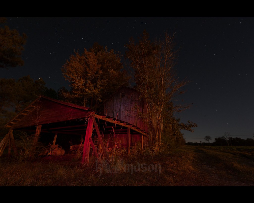
abandoned barn on a starry night

Sunset at tail end of storm.

Business meeting
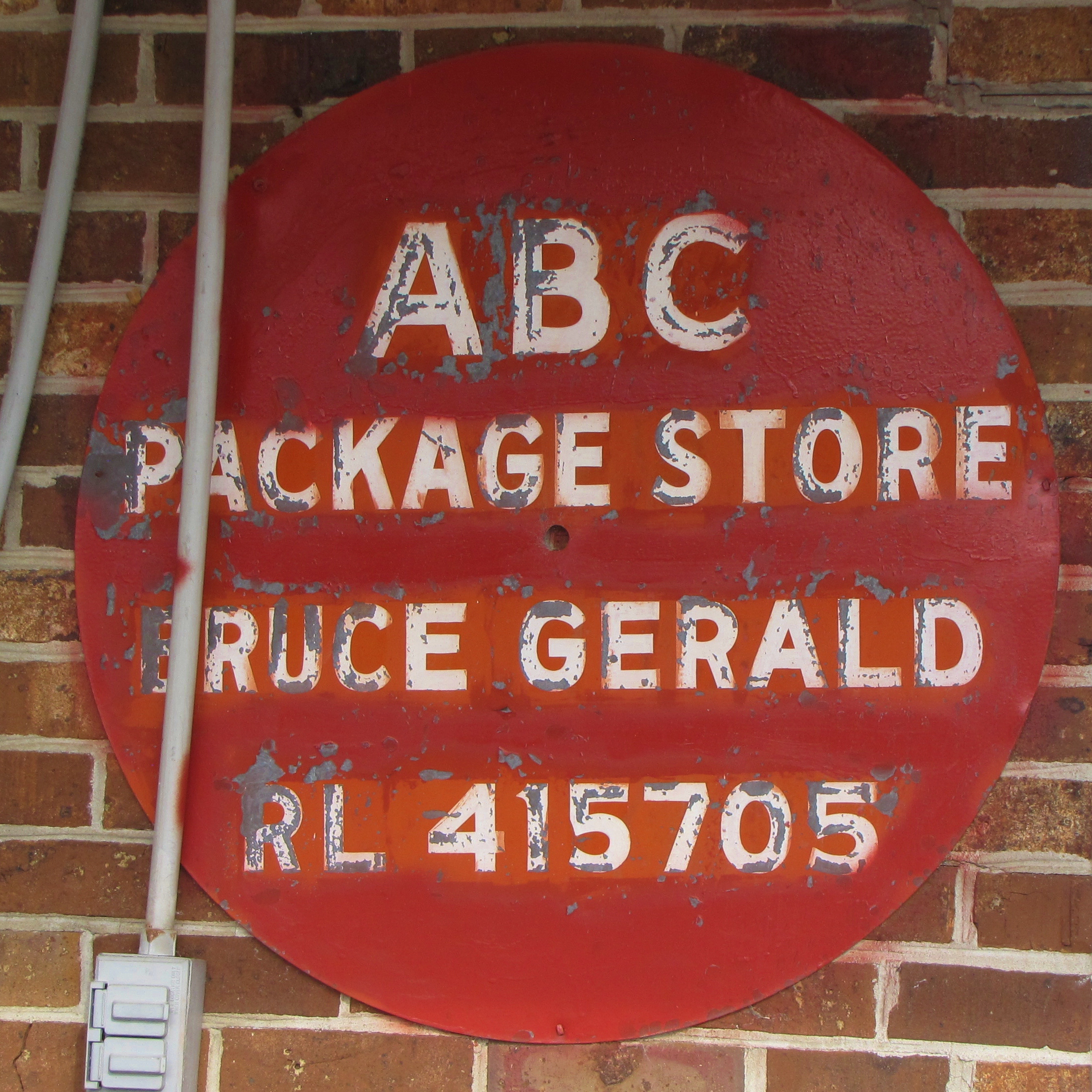
ABC Package Store

LK_20130707_0625-sm.jpg

LK_20130707_0593-sm.jpg

LK_20130707_0569-sm.jpg

LK_20130707_0513-sm.jpg

LK_20130707_0443-sm.jpg

LK_20130707_0368-sm.jpg

EK_20130707_0203-sm.jpg

LK_20130707_0312-sm.jpg

LK_20130707_0202-sm.jpg

LK_20130707_0190-sm.jpg

LK_20130707_0171-sm.jpg

LK_20130707_0156-sm.jpg

EK_20130707_0091-sm.jpg

LK_20130707_0137-sm.jpg

LK_20130707_0127-sm.jpg

EK_20130707_0041-sm.jpg

LK_20130707_0040-sm.jpg

LK_20130707_0026-sm.jpg
Topographic Map of Valley Forge Rd, Aynor, SC, USA
Find elevation by address:

Places near Valley Forge Rd, Aynor, SC, USA:
5305 Valley Forge Rd
Valley Forge Rd, Aynor, SC, USA
4480 Costie Allen Rd
3403 Joyner Swamp Rd
3403 Joyner Swamp Rd
3403 Joyner Swamp Rd
3403 Joyner Swamp Rd
3403 Joyner Swamp Rd
3403 Joyner Swamp Rd
3403 Joyner Swamp Rd
6297 Adrian Pkwy
SC-, Aynor, SC, USA
4947 Plantation Rd
1280 Tram Rd
3488 Albert Gasque Rd
7416 Rolling Terrace Dr
Tram Road
Hucks Rd, Conway, SC, USA
Adrian Hwy, Conway, SC, USA
Green Sea Road South
Recent Searches:
- Elevation of Falling Spring Rd, Clyde, NC, USA
- Elevation of Kingsfield St, Castle Rock, CO, USA
- Elevation of AMELIA CT HSE, VA, USA
- Elevation of Abbey Dr, Virginia Beach, VA, USA
- Elevation of Brooks Lp, Spearfish, SD, USA
- Elevation of Panther Dr, Maggie Valley, NC, USA
- Elevation of Jais St - Wadi Shehah - Ras al Khaimah - United Arab Emirates
- Elevation of Shawnee Avenue, Shawnee Ave, Easton, PA, USA
- Elevation of Scenic Shore Dr, Kingwood Area, TX, USA
- Elevation of W Prive Cir, Delray Beach, FL, USA