Elevation of Joyner Swamp Rd, Loris, SC, USA
Location: United States > South Carolina > Horry County > Loris >
Longitude: -79.023363
Latitude: 34.0096846
Elevation: 33m / 108feet
Barometric Pressure: 101KPa
Elevation Map:
Satellite Map:
Related Photos:
there came a rustling in the leaves...

midnight in the corn field

spring blooms

blue iris
duck!! run!!

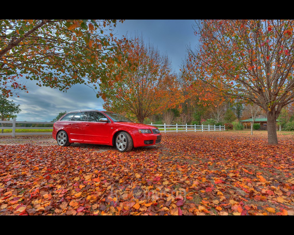
children of the corn
It Lies Beneath
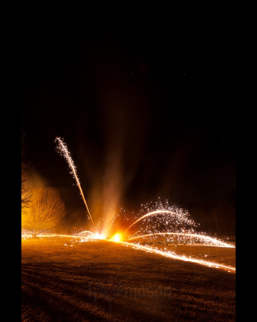
Happy New Year!

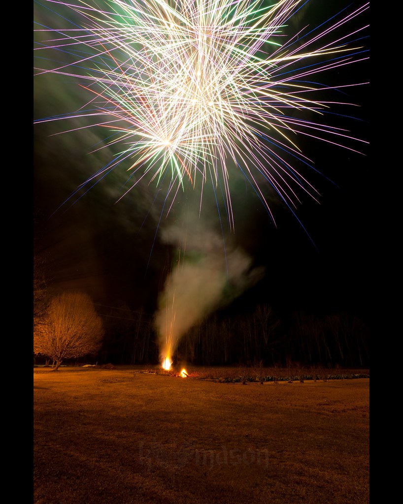
Shattered View
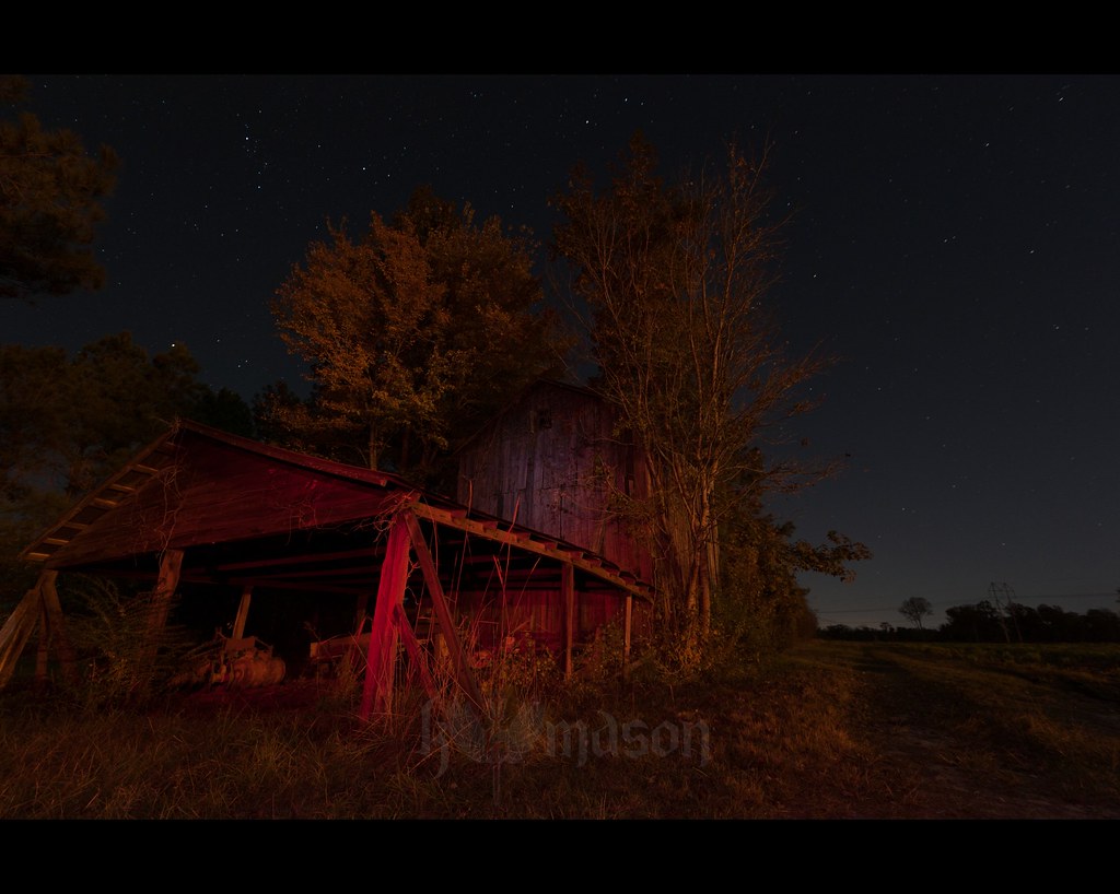
abandoned barn on a starry night

Nose Knows
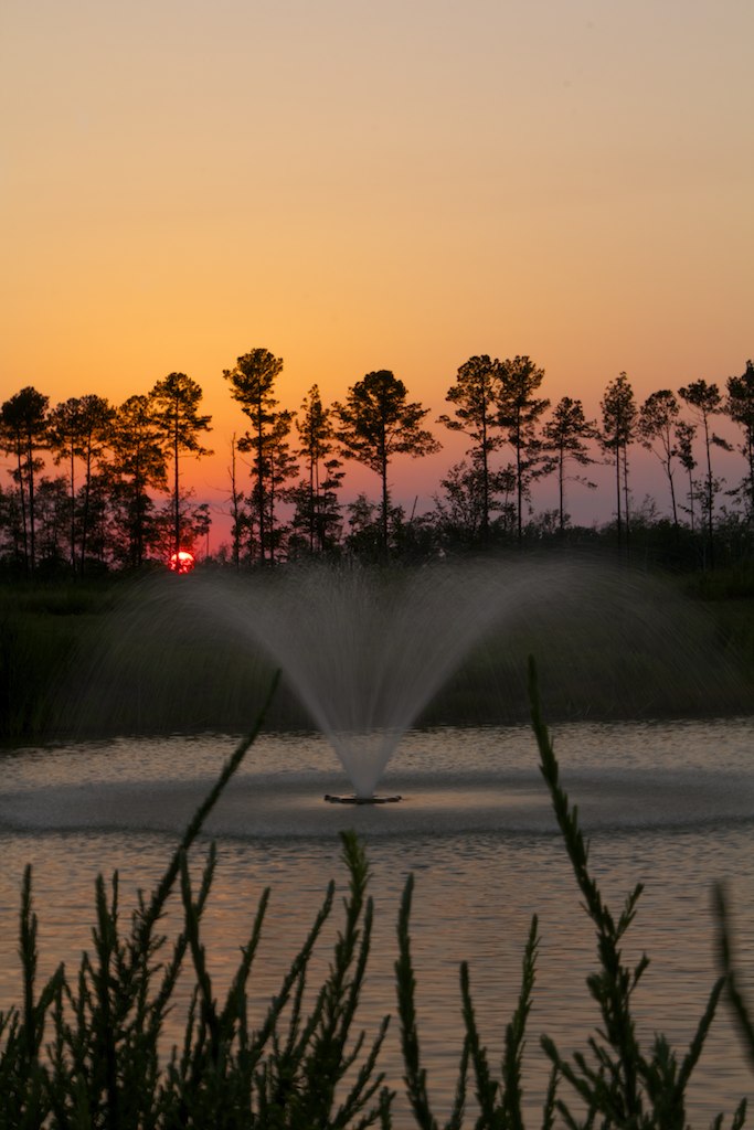
Memorial Day Sunset
Topographic Map of Joyner Swamp Rd, Loris, SC, USA
Find elevation by address:

Places near Joyner Swamp Rd, Loris, SC, USA:
3403 Joyner Swamp Rd
3403 Joyner Swamp Rd
3403 Joyner Swamp Rd
3403 Joyner Swamp Rd
3403 Joyner Swamp Rd
3403 Joyner Swamp Rd
1280 Tram Rd
Tram Road
Green Sea Road South
SC-, Aynor, SC, USA
5305 Valley Forge Rd
5305 Valley Forge Rd
Valley Forge Rd, Aynor, SC, USA
7416 Rolling Terrace Dr
Hucks Rd, Conway, SC, USA
4480 Costie Allen Rd
6297 Adrian Pkwy
Mcnabb Short Cut Road
Adrian Hwy, Conway, SC, USA
4947 Plantation Rd
Recent Searches:
- Elevation of Woodland Oak Pl, Thousand Oaks, CA, USA
- Elevation of Brownsdale Rd, Renfrew, PA, USA
- Elevation of Corcoran Ln, Suffolk, VA, USA
- Elevation of Mamala II, Sariaya, Quezon, Philippines
- Elevation of Sarangdanda, Nepal
- Elevation of 7 Waterfall Way, Tomball, TX, USA
- Elevation of SW 57th Ave, Portland, OR, USA
- Elevation of Crocker Dr, Vacaville, CA, USA
- Elevation of Pu Ngaol Community Meeting Hall, HWHM+3X7, Krong Saen Monourom, Cambodia
- Elevation of Royal Ontario Museum, Queens Park, Toronto, ON M5S 2C6, Canada