Elevation of Val-Paradis, QC J0Y, Canada
Location: Canada > Québec > Nord-du-québec > Baie-james >
Longitude: -79.290096
Latitude: 49.153991
Elevation: 293m / 961feet
Barometric Pressure: 98KPa
Elevation Map:
Satellite Map:
Related Photos:

Grue du Canada
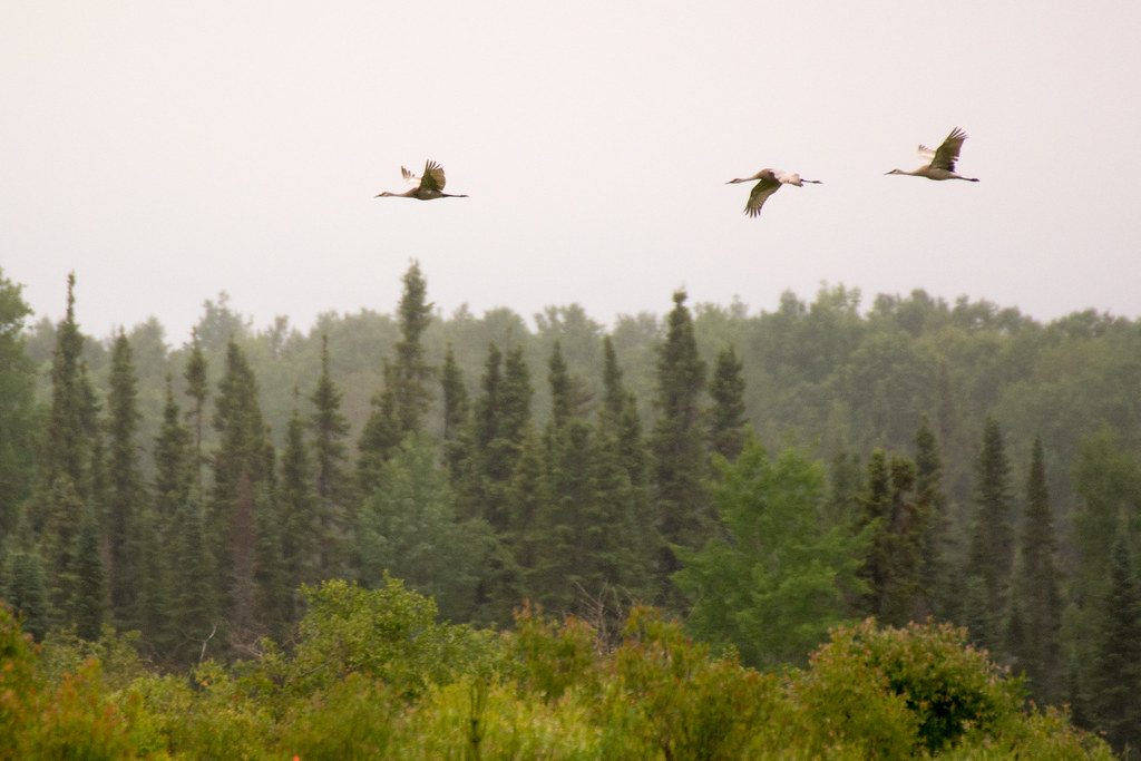
Grue du Canada
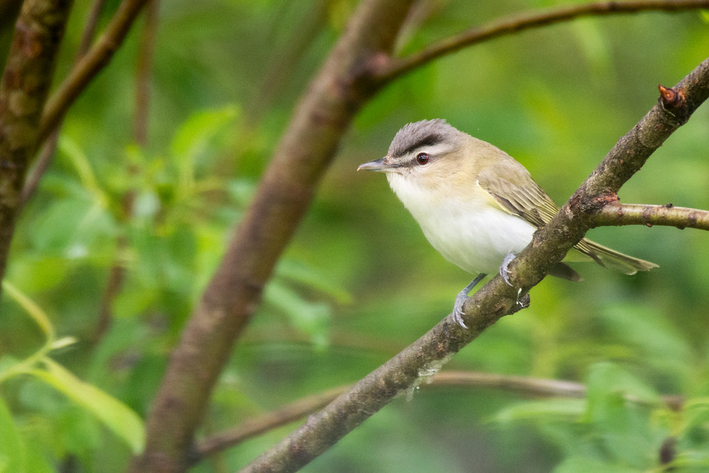
Viréo aux yeux rouges
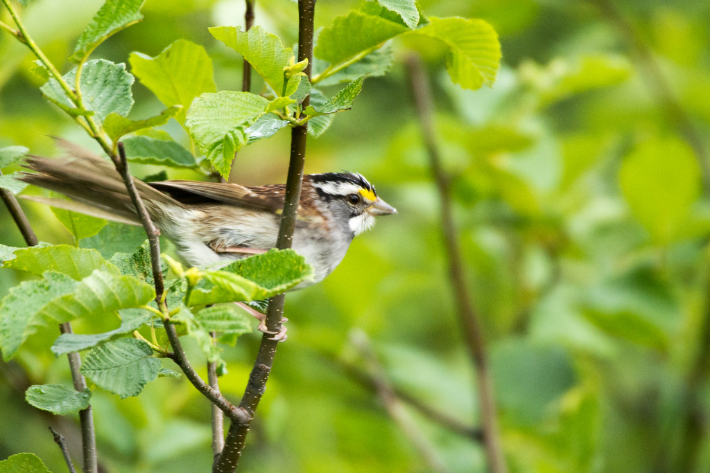
Bruant à gorge blanche
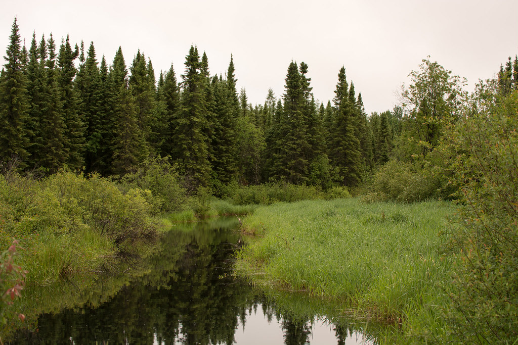
Forêt, Rivière
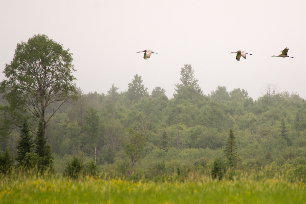
Grue du Canada

K& S
Topographic Map of Val-Paradis, QC J0Y, Canada
Find elevation by address:

Places near Val-Paradis, QC J0Y, Canada:
La Sarre
22 Avenue Trudel
Clerval
Clerval
Abitibi-ouest Regional County Municipality
Chemin De La Plage-delisle
Chemin du Bois-Joli, Authier, QC J0Z 1C0, Canada
Duparquet
Chemin Massicotte, Duparquet, QC J0Z 1W0, Canada
Rang du Parc, Rouyn-Noranda, QC J0Z, Canada
Lake Abitibi
205 Avenue De L'Église
330 Rue Perreault E
Rouyn-noranda
451 Montée Du Sourire
P0k 1x0
Rouyn-noranda
Larder Lake
Chemin des Rang Cinq et Six E, Rouyn-Noranda, QC J0Z 1K0, Canada
Chemin des Rang un et Deux E, Rouyn-Noranda, QC J9Y 0G3, Canada
Recent Searches:
- Elevation of Tenjo, Cundinamarca, Colombia
- Elevation of Côte-des-Neiges, Montreal, QC H4A 3J6, Canada
- Elevation of Bobcat Dr, Helena, MT, USA
- Elevation of Zu den Ihlowbergen, Althüttendorf, Germany
- Elevation of Badaber, Peshawar, Khyber Pakhtunkhwa, Pakistan
- Elevation of SE Heron Loop, Lincoln City, OR, USA
- Elevation of Slanický ostrov, 01 Námestovo, Slovakia
- Elevation of Spaceport America, Co Rd A, Truth or Consequences, NM, USA
- Elevation of Warwick, RI, USA
- Elevation of Fern Rd, Whitmore, CA, USA