Elevation of Rang du Parc, Rouyn-Noranda, QC J0Z, Canada
Location: Canada > Québec > Rouyn-noranda > Rouyn-noranda >
Longitude: -78.885232
Latitude: 48.45887
Elevation: 290m / 951feet
Barometric Pressure: 98KPa
Elevation Map:
Satellite Map:
Related Photos:

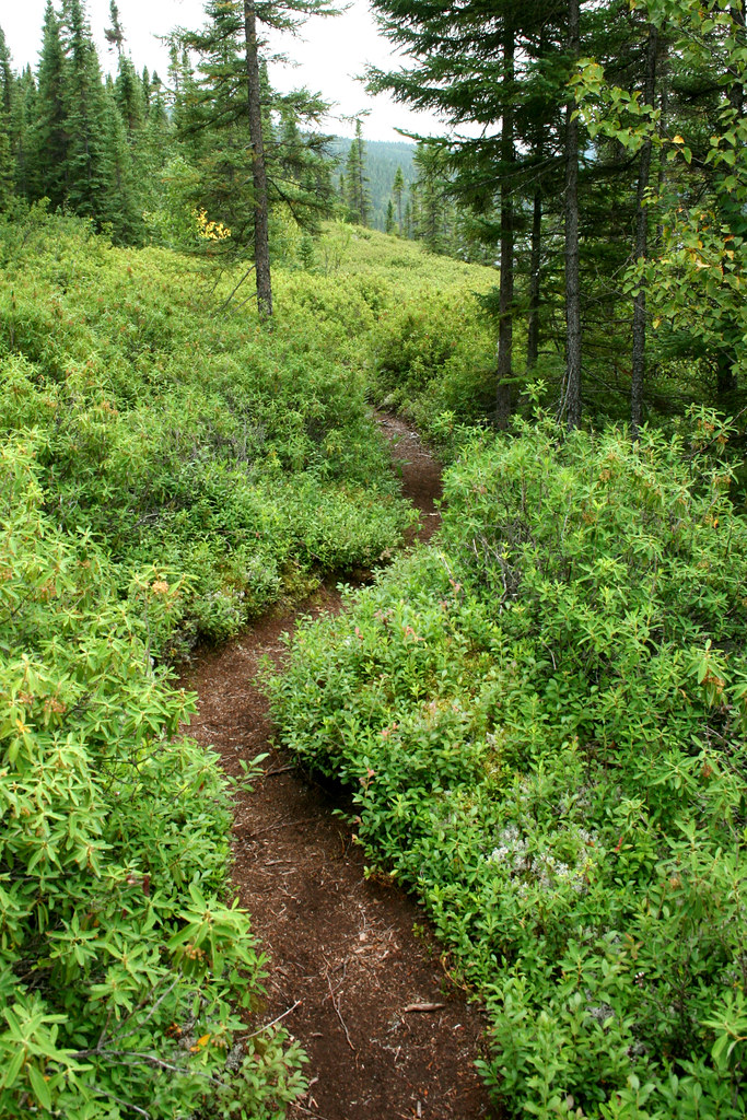
En route vers Aiguebelle

En route vers Aiguebelle
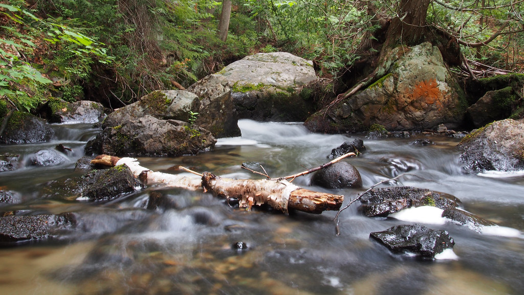
Ruisseau - Stream

Parc national d'Aiguebelle

Parc national d'Aiguebelle / Aiguebelle National Park

Beaver dam

Forêt d'automne

Forêt d'automne

American toad
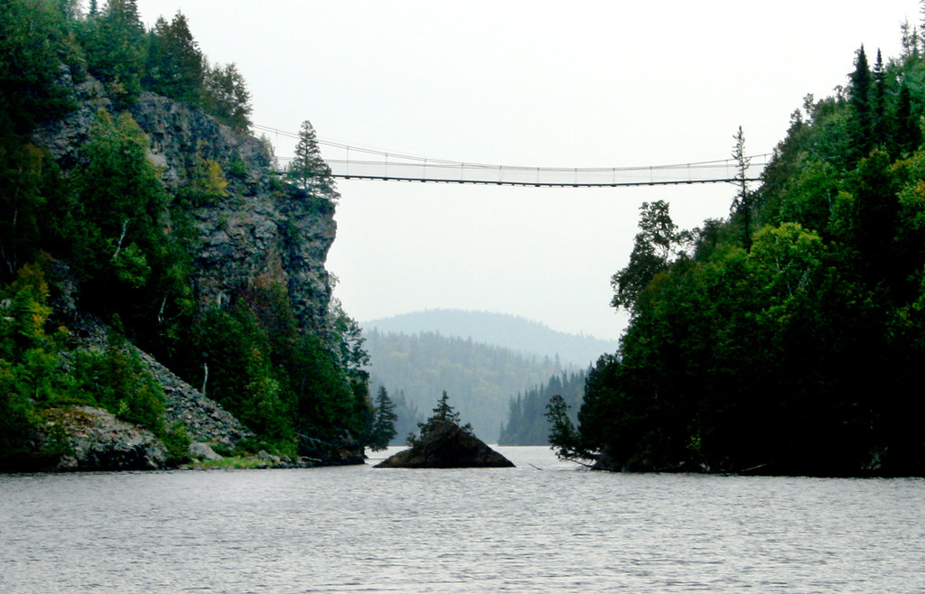
le pont du lac la Haie
les bleuets d'Abitibi...
Topographic Map of Rang du Parc, Rouyn-Noranda, QC J0Z, Canada
Find elevation by address:

Places near Rang du Parc, Rouyn-Noranda, QC J0Z, Canada:
451 Montée Du Sourire
330 Rue Perreault E
Rouyn-noranda
Chemin du Bois-Joli, Authier, QC J0Z 1C0, Canada
205 Avenue De L'Église
Abitibi-ouest Regional County Municipality
Duparquet
Rouyn-noranda
Chemin Massicotte, Duparquet, QC J0Z 1W0, Canada
Chemin des Rang Cinq et Six E, Rouyn-Noranda, QC J0Z 1K0, Canada
Chemin des Rang un et Deux E, Rouyn-Noranda, QC J9Y 0G3, Canada
22 Avenue Trudel
La Sarre
Clerval
Clerval
Rollet
Chemin De La Plage-delisle
P0k 1x0
Val-paradis
Larder Lake
Recent Searches:
- Elevation of Corso Fratelli Cairoli, 35, Macerata MC, Italy
- Elevation of Tallevast Rd, Sarasota, FL, USA
- Elevation of 4th St E, Sonoma, CA, USA
- Elevation of Black Hollow Rd, Pennsdale, PA, USA
- Elevation of Oakland Ave, Williamsport, PA, USA
- Elevation of Pedrógão Grande, Portugal
- Elevation of Klee Dr, Martinsburg, WV, USA
- Elevation of Via Roma, Pieranica CR, Italy
- Elevation of Tavkvetili Mountain, Georgia
- Elevation of Hartfords Bluff Cir, Mt Pleasant, SC, USA