Elevation of Val-Brillant, QC G0J, Canada
Location: Canada > Québec > La Matapédia Regional County Municipality >
Longitude: -67.571064
Latitude: 48.5181599
Elevation: 233m / 764feet
Barometric Pressure: 99KPa
Elevation Map:
Satellite Map:
Related Photos:

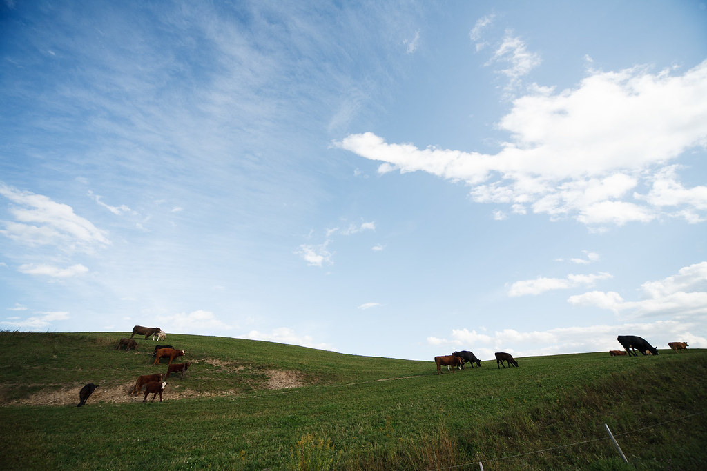
Près de Amqui, Québec
0149-IMG_5_0287p
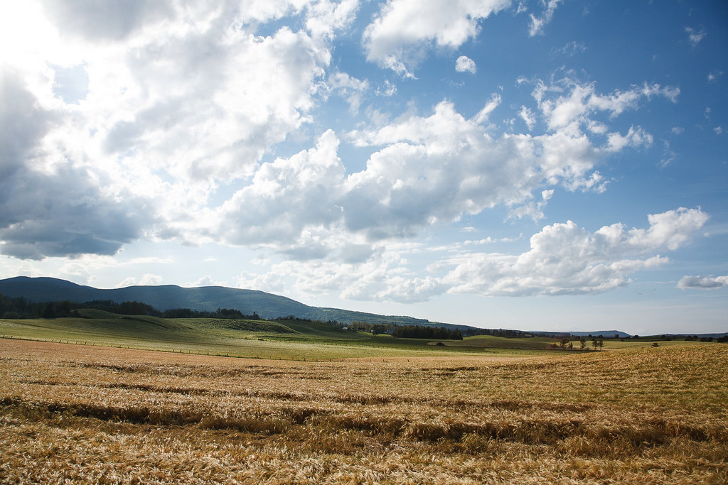
Vallée de la Matapédia, Québec
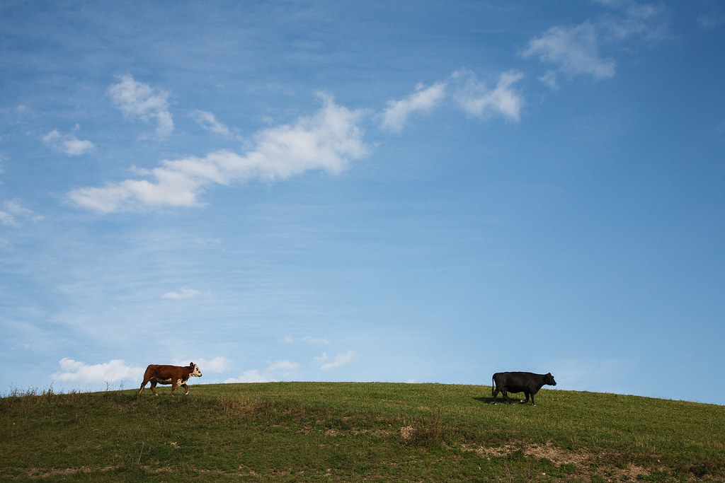
Brun / Noir

Le pont-couvert Beauséjour
Gaspésie
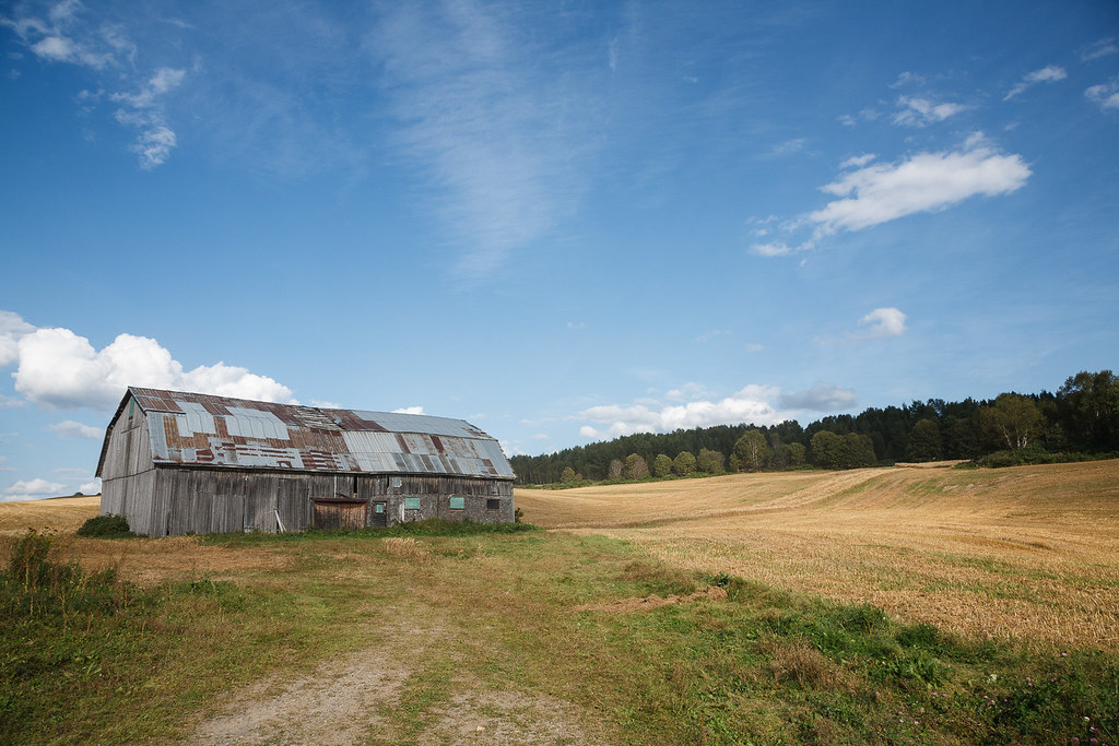
Vieille grange près de Amqui
Rundreise USA-Canada 17-15-47 Uhr 24. September 2009.jpg
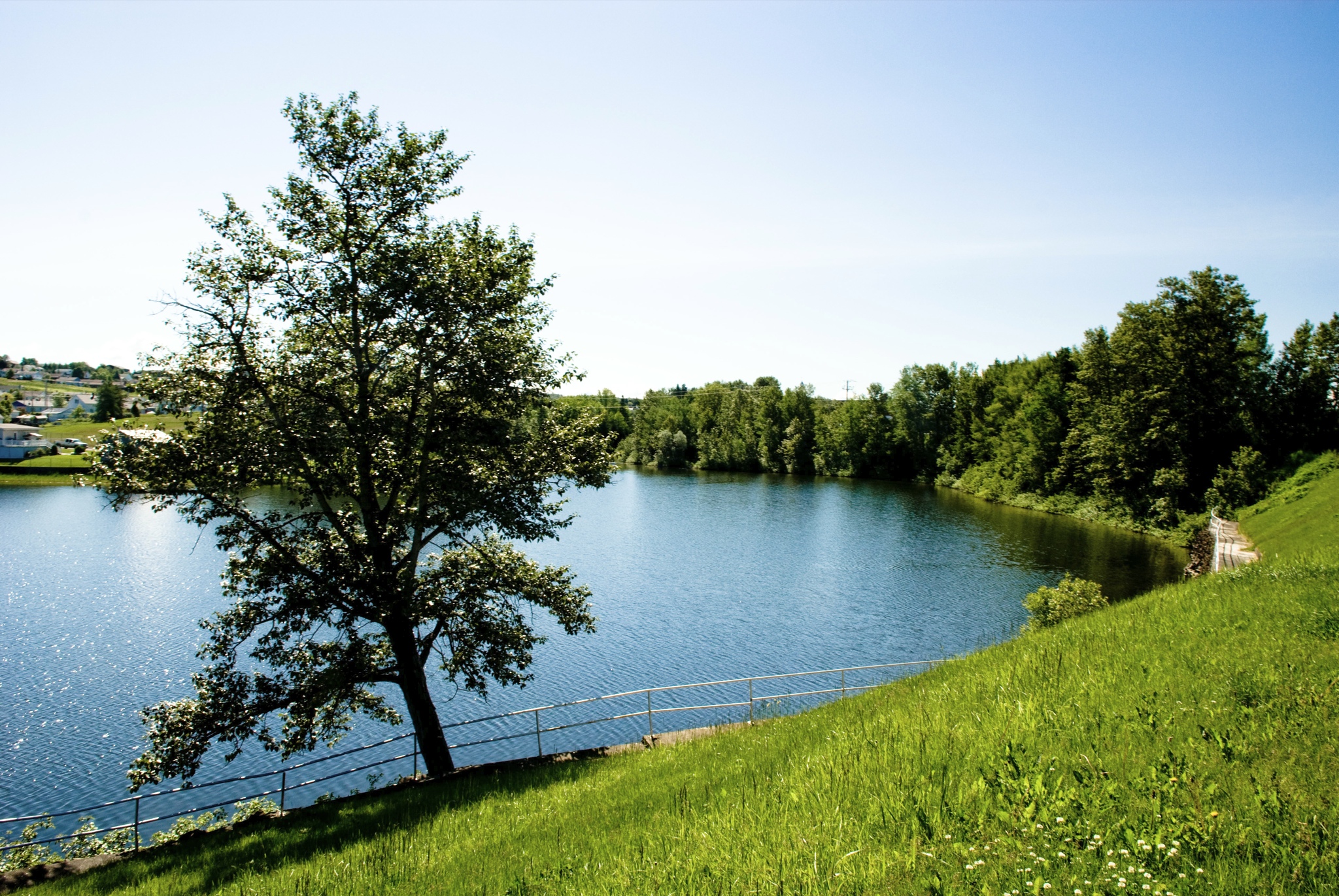
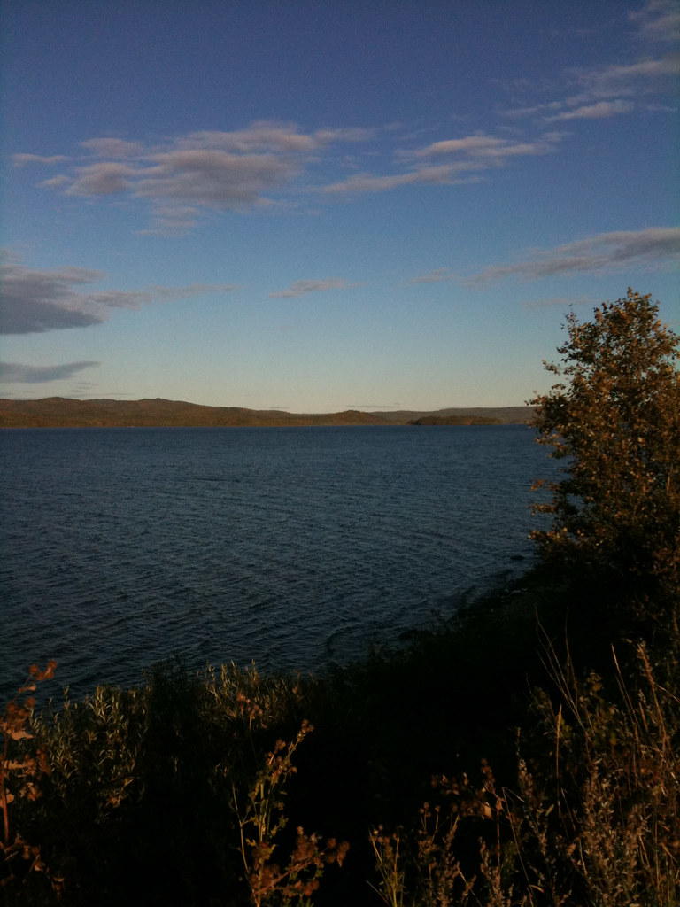
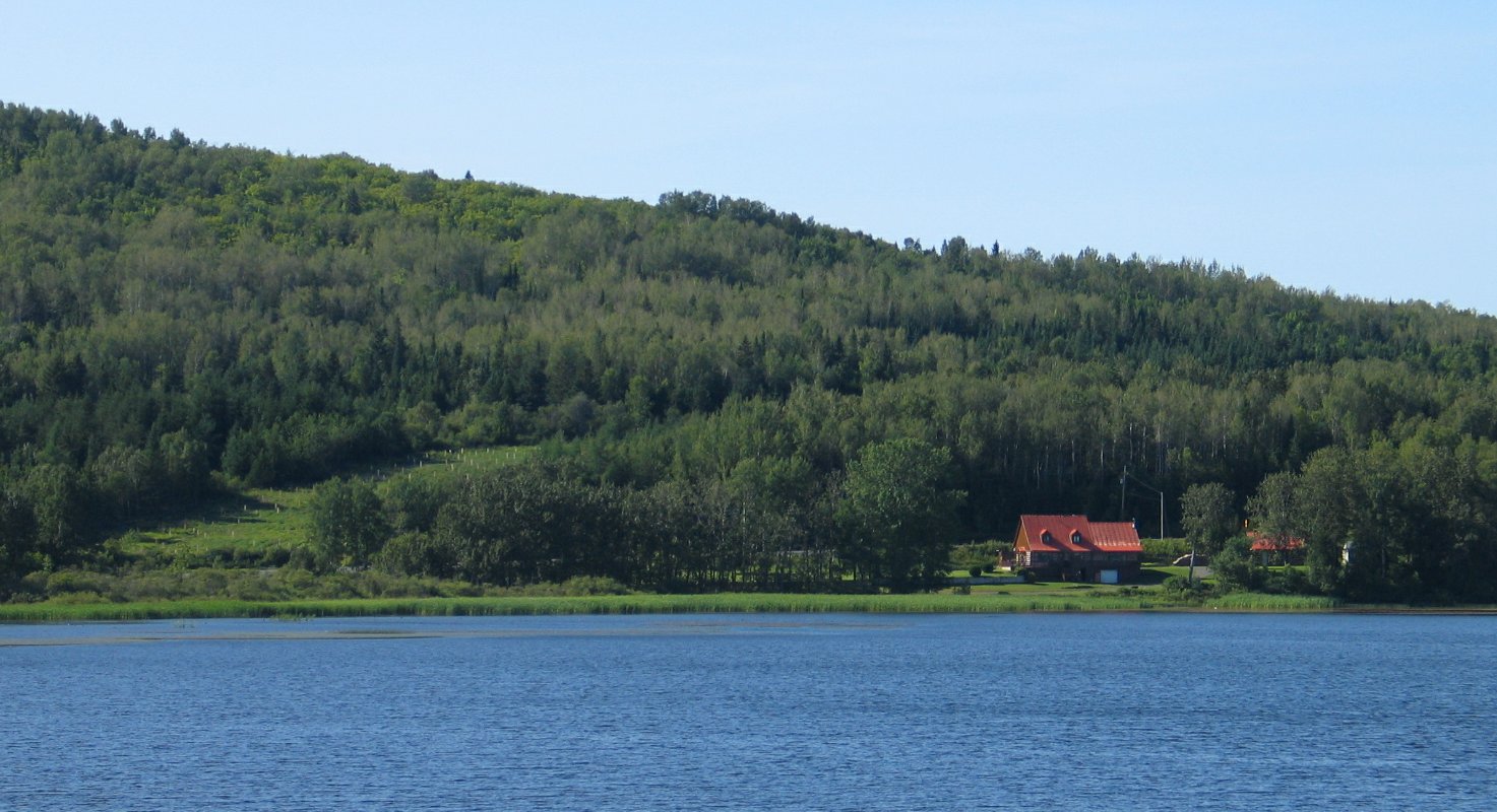
Lake Matapedia

Lake Matapedia
Lac Matapédia

Lake Matapedia

Highway 132
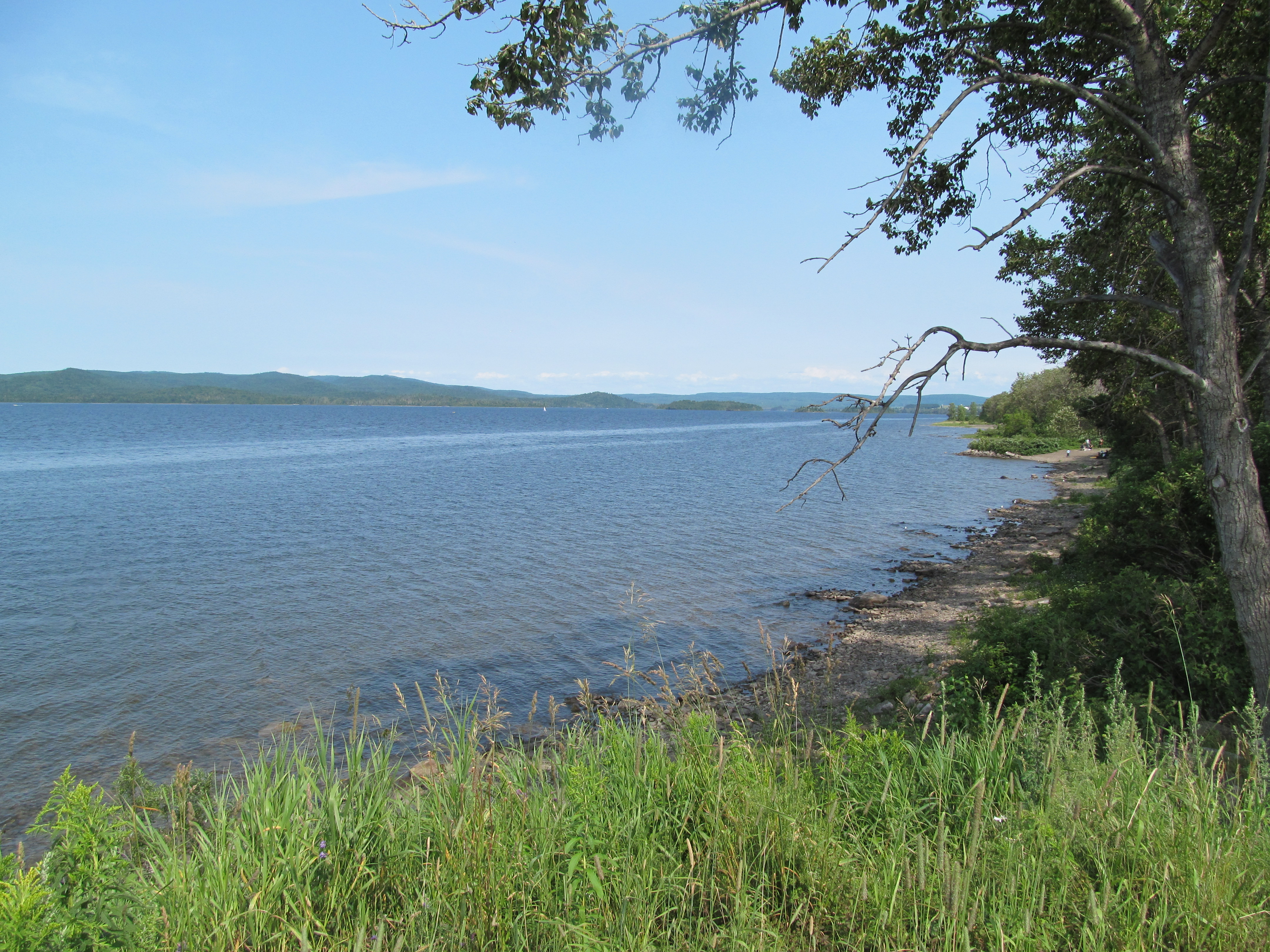
bord du lac Matapedia
Topographic Map of Val-Brillant, QC G0J, Canada
Find elevation by address:

Places in Val-Brillant, QC G0J, Canada:
Places near Val-Brillant, QC G0J, Canada:
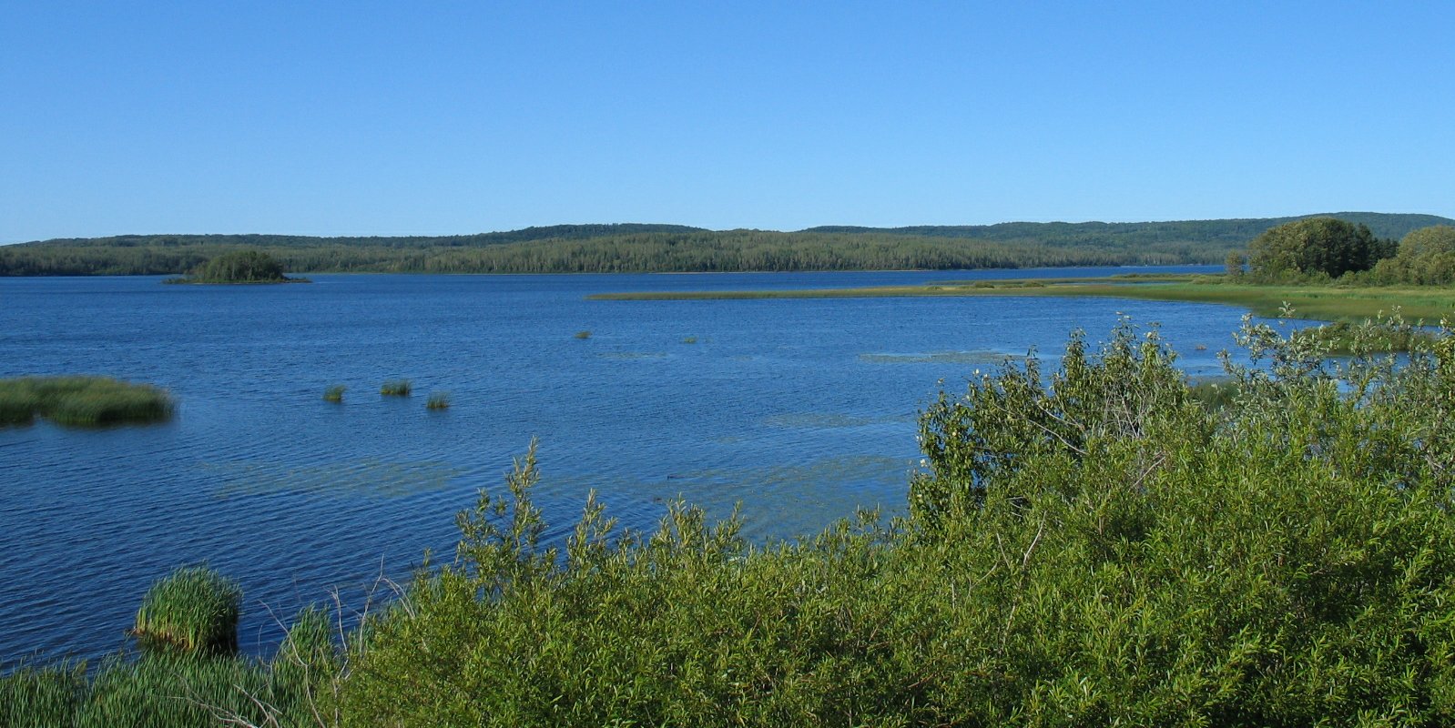
Lac Matapédia
Sayabec
Sayabec
Route du Lac Malcolm, Sayabec, QC G0J 3K0, Canada
7 Rang, Saint-Léandre, QC G0J 2V0, Canada
Rue des Érables, Matane, QC G4W 3Y3, Canada
Matane
Baie-des-sables
4 Place de l'Église, Causapscal, QC G0J 1J0, Canada
Rue Principale, Métis-sur-Mer, QC G0J 1S0, Canada
Métis-sur-mer
Saint-charles-garnier
Baie-des-sables
Saint-charles-garnier
Rue Bélanger, Saint-Charles-Garnier, QC G0K 1K0, Canada
La Mitis
Saint-gabriel-de-rimouski
Saint-gabriel-de-rimouski
Rue Principale, Saint-Gabriel-de-Rimouski, QC G0K 1M0, Canada
Pointe-au-père
Recent Searches:
- Elevation of Elwyn Dr, Roanoke Rapids, NC, USA
- Elevation of Congressional Dr, Stevensville, MD, USA
- Elevation of Bellview Rd, McLean, VA, USA
- Elevation of Stage Island Rd, Chatham, MA, USA
- Elevation of Shibuya Scramble Crossing, 21 Udagawacho, Shibuya City, Tokyo -, Japan
- Elevation of Jadagoniai, Kaunas District Municipality, Lithuania
- Elevation of Pagonija rock, Kranto 7-oji g. 8"N, Kaunas, Lithuania
- Elevation of Co Rd 87, Jamestown, CO, USA
- Elevation of Tenjo, Cundinamarca, Colombia
- Elevation of Côte-des-Neiges, Montreal, QC H4A 3J6, Canada