Elevation of Saint-Charles-Garnier, QC, Canada
Location: Canada > Québec > La Mitis >
Longitude: -68.032529
Latitude: 48.3283988
Elevation: 323m / 1060feet
Barometric Pressure: 98KPa
Elevation Map:
Satellite Map:
Related Photos:
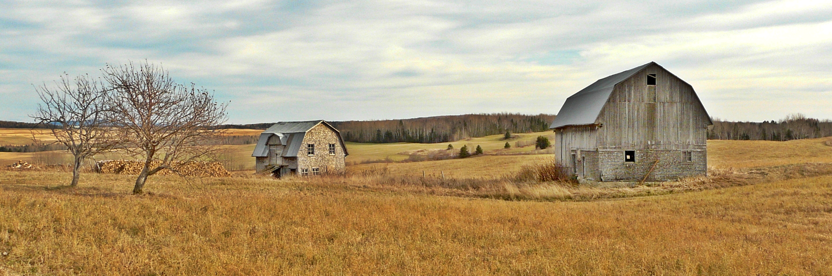
Paysage rural.
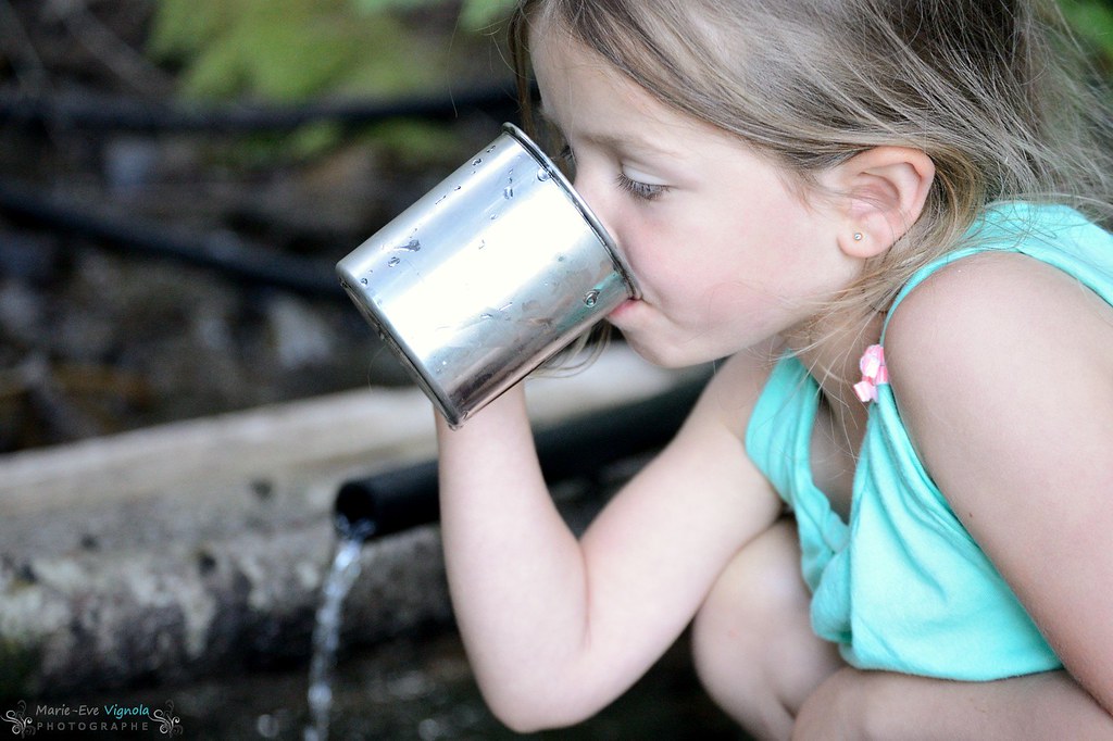
À la chute

La relève

1260-Église Saint-Gabriel, St-Gabriel-de-Rimouski 1903
Topographic Map of Saint-Charles-Garnier, QC, Canada
Find elevation by address:

Places in Saint-Charles-Garnier, QC, Canada:
Places near Saint-Charles-Garnier, QC, Canada:
Saint-charles-garnier
Rue Bélanger, Saint-Charles-Garnier, QC G0K 1K0, Canada
Saint-gabriel-de-rimouski
Saint-gabriel-de-rimouski
Rue Principale, Saint-Gabriel-de-Rimouski, QC G0K 1M0, Canada
Métis-sur-mer
La Mitis
Rue Principale, Métis-sur-Mer, QC G0J 1S0, Canada
Route du Lac Malcolm, Sayabec, QC G0J 3K0, Canada
Baie-des-sables
4 Place de l'Église, Causapscal, QC G0J 1J0, Canada
Sayabec
Sayabec
Pointe-au-père
Val-brillant
Arsenal
62 Rue Sainte Marie, Rimouski, QC G5L 4E2, Canada
Rimouski
Lac Matapédia
Baie-des-sables
Recent Searches:
- Elevation of Corso Fratelli Cairoli, 35, Macerata MC, Italy
- Elevation of Tallevast Rd, Sarasota, FL, USA
- Elevation of 4th St E, Sonoma, CA, USA
- Elevation of Black Hollow Rd, Pennsdale, PA, USA
- Elevation of Oakland Ave, Williamsport, PA, USA
- Elevation of Pedrógão Grande, Portugal
- Elevation of Klee Dr, Martinsburg, WV, USA
- Elevation of Via Roma, Pieranica CR, Italy
- Elevation of Tavkvetili Mountain, Georgia
- Elevation of Hartfords Bluff Cir, Mt Pleasant, SC, USA