Elevation of Uvanå 54, 91 Hagfors, Sweden
Location: Sweden > Varmland County > Uvanå >
Longitude: 13.782909
Latitude: 60.2877435
Elevation: 280m / 919feet
Barometric Pressure: 98KPa
Elevation Map:
Satellite Map:
Related Photos:

SDC10997
SDC10991

m.Zuiko Digital 40-150 mm
Tusmørke

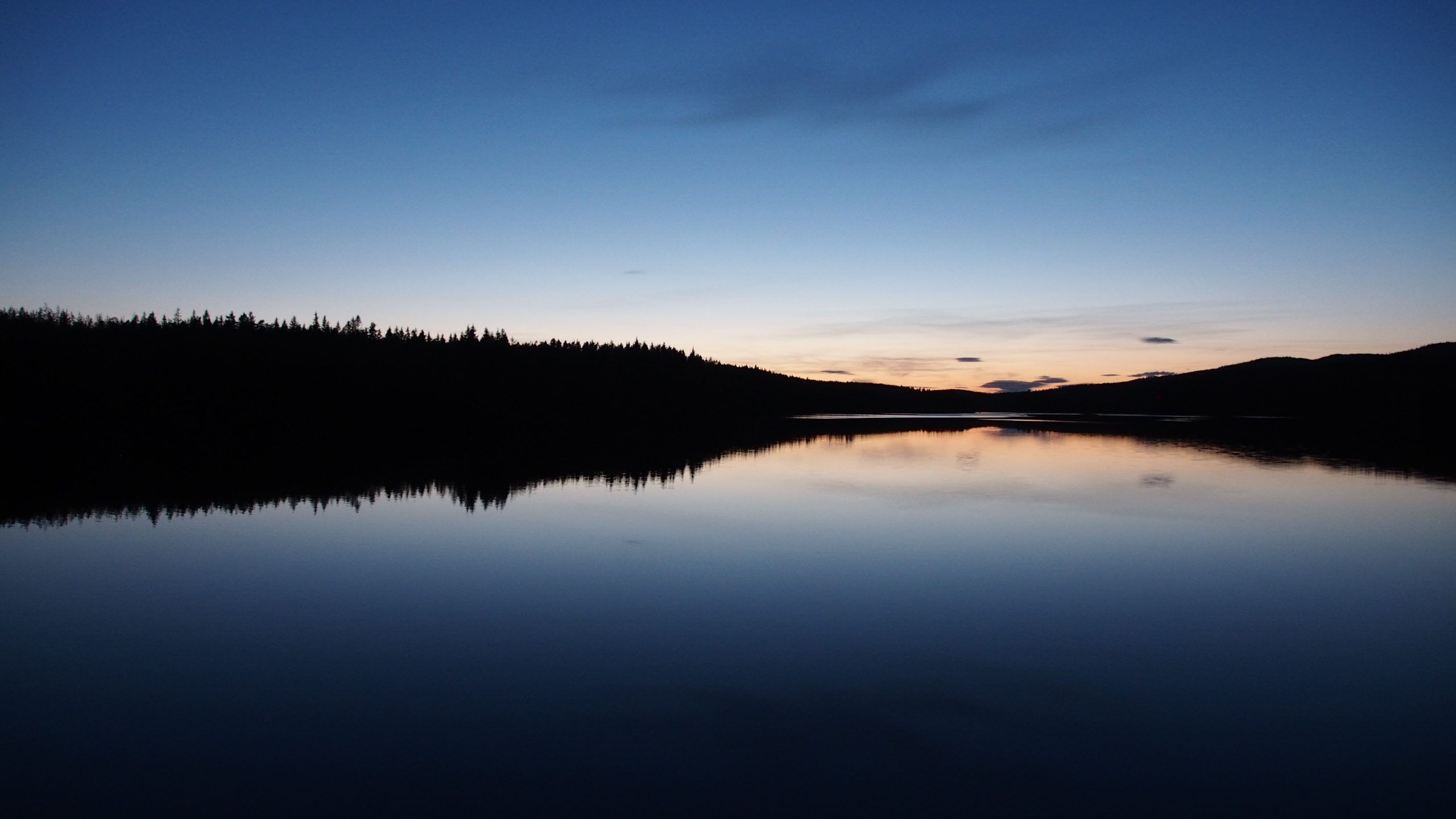
Tyngsjon Lake, Tyngsjo, Sweden

Dennise,nei,benja

Lars-Bertil Ohlsson

Vera o

L & G

Musåudden

New year's eve fireworks

Förberett inför bröllopsmiddagen
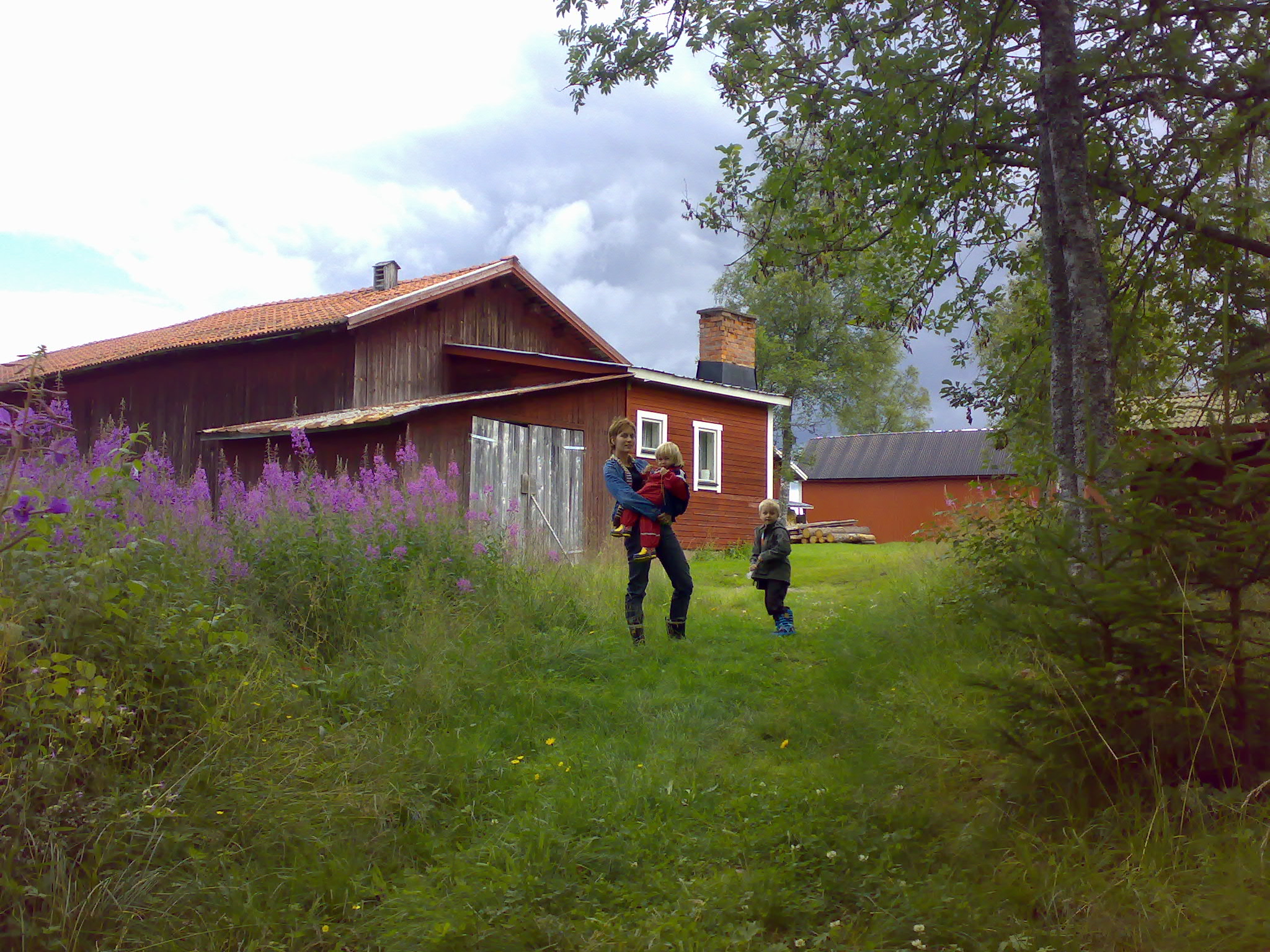
Going for a walk

pose & stones

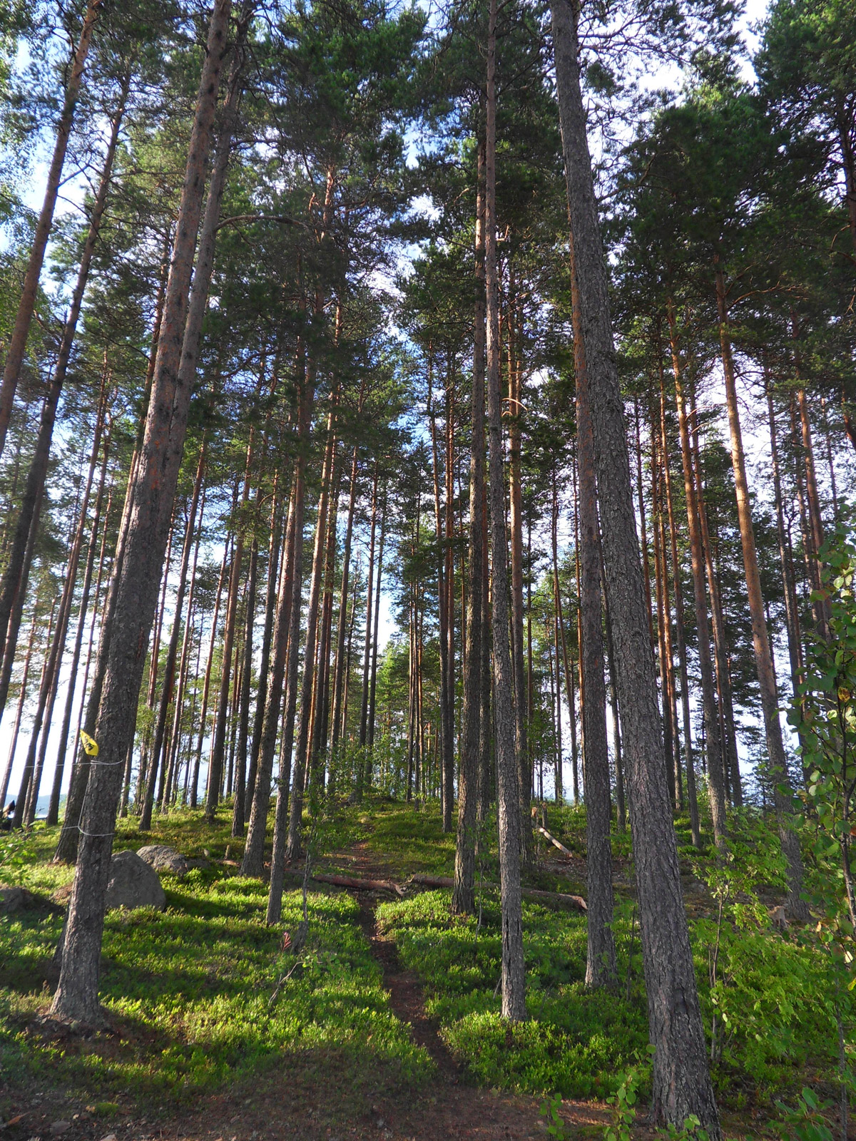
Blueberry Hill
Topographic Map of Uvanå 54, 91 Hagfors, Sweden
Find elevation by address:

Places near Uvanå 54, 91 Hagfors, Sweden:
Uvanå
TYNGSJÖVÄGEN 22, 54 Äppelbo, Sweden
Hagfors Ö
BUTORP 2, 91 Hagfors, Sweden
Geijersholm Borg 2, 91 Hagfors, Sweden
Ekshärad
Hagfors S
Lidsbron 11, 95 Sunnemo, Sweden
Sunnemo
Segenäs
Hagfors V
Loviseberg Norra Heden 1, 94 Lakene, Sweden
Munkfors
Stöllet
LÖVSTAHOLM, 97 Lysvik, Sweden
Sunne No
Stensviken
Karlstad N
Molkoms Pizzeria
Molkom
Recent Searches:
- Elevation of Pinewood Dr, New Bern, NC, USA
- Elevation of Mountain View, CA, USA
- Elevation of Foligno, Province of Perugia, Italy
- Elevation of Blauwestad, Netherlands
- Elevation of Bella Terra Blvd, Estero, FL, USA
- Elevation of Estates Loop, Priest River, ID, USA
- Elevation of Woodland Oak Pl, Thousand Oaks, CA, USA
- Elevation of Brownsdale Rd, Renfrew, PA, USA
- Elevation of Corcoran Ln, Suffolk, VA, USA
- Elevation of Mamala II, Sariaya, Quezon, Philippines