Elevation of Hagfors S, Sweden
Location: Sweden > Varmland County >
Longitude: 13.7281044
Latitude: 59.9134333
Elevation: 241m / 791feet
Barometric Pressure: 98KPa
Elevation Map:
Satellite Map:
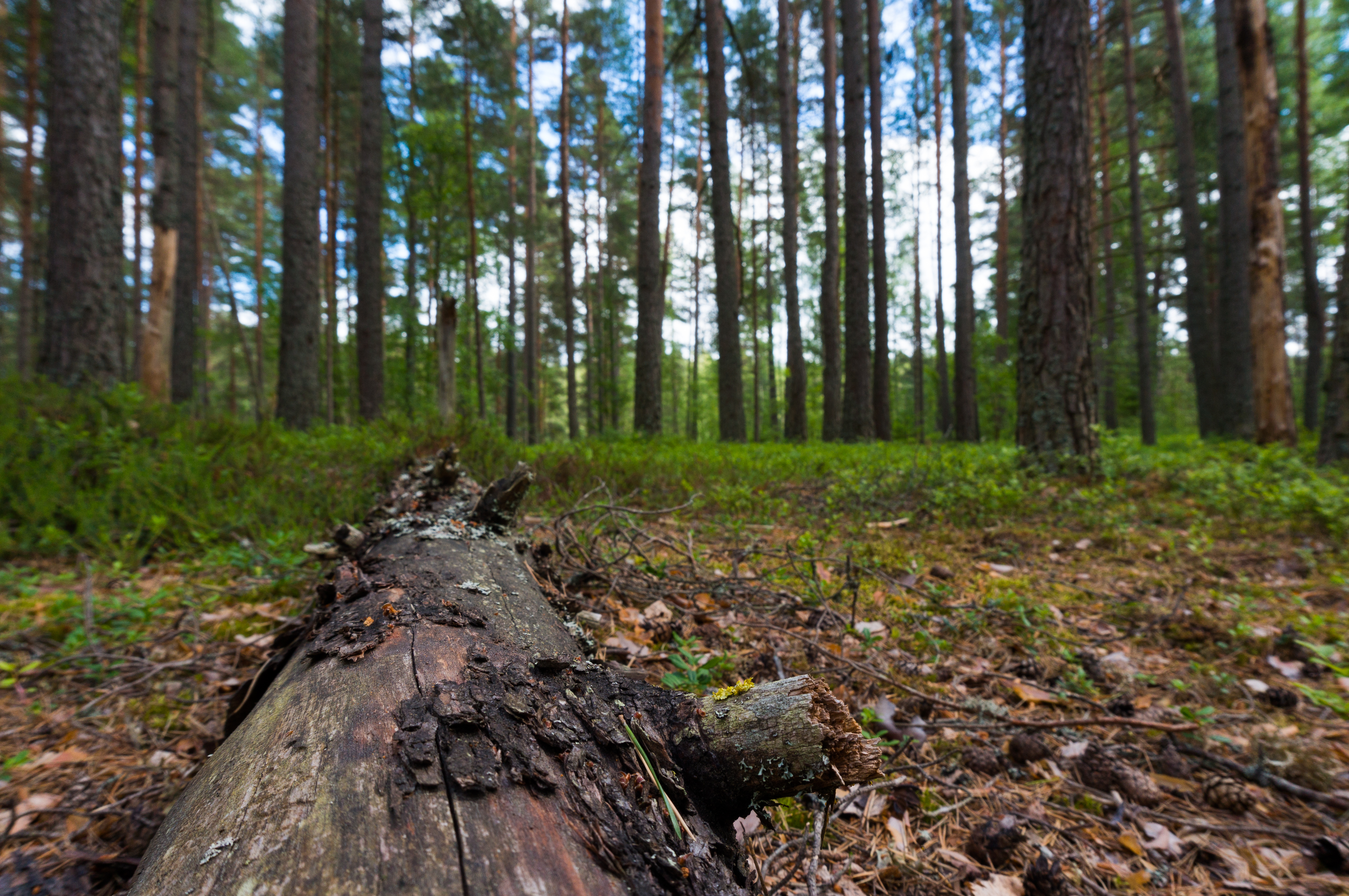
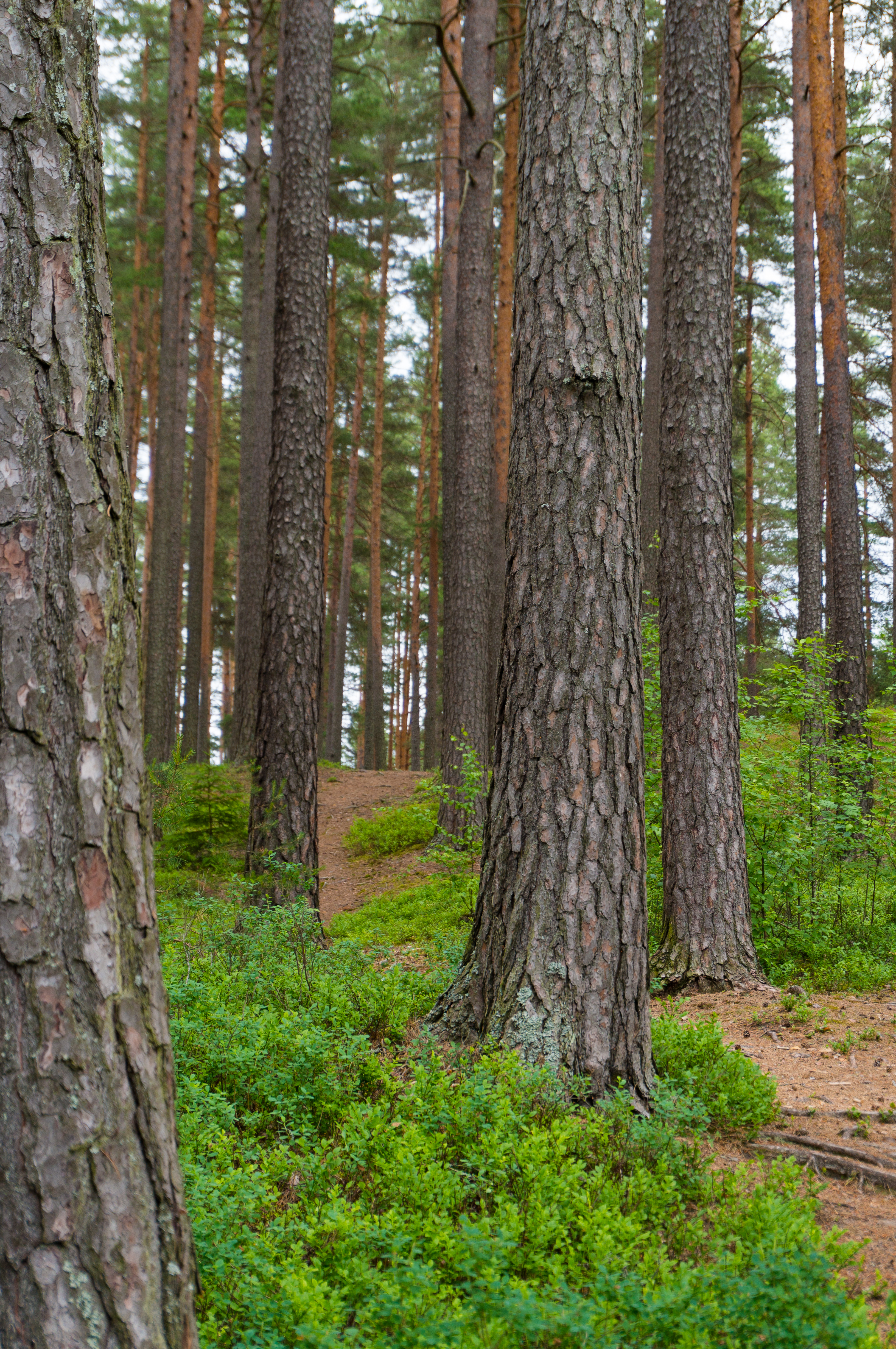
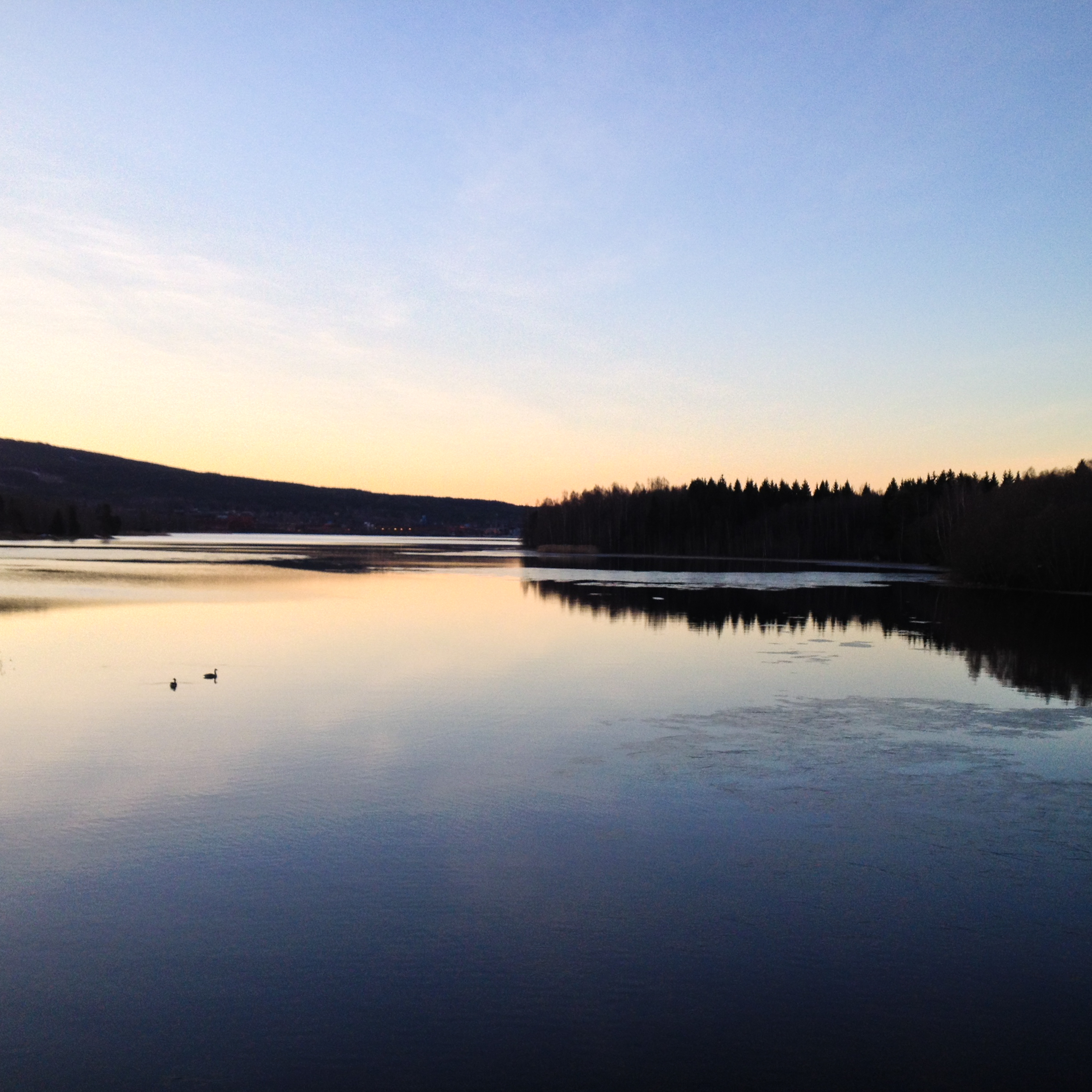
Related Photos:

2014-03-15_16-53-47

2014-09-07_16-28-19
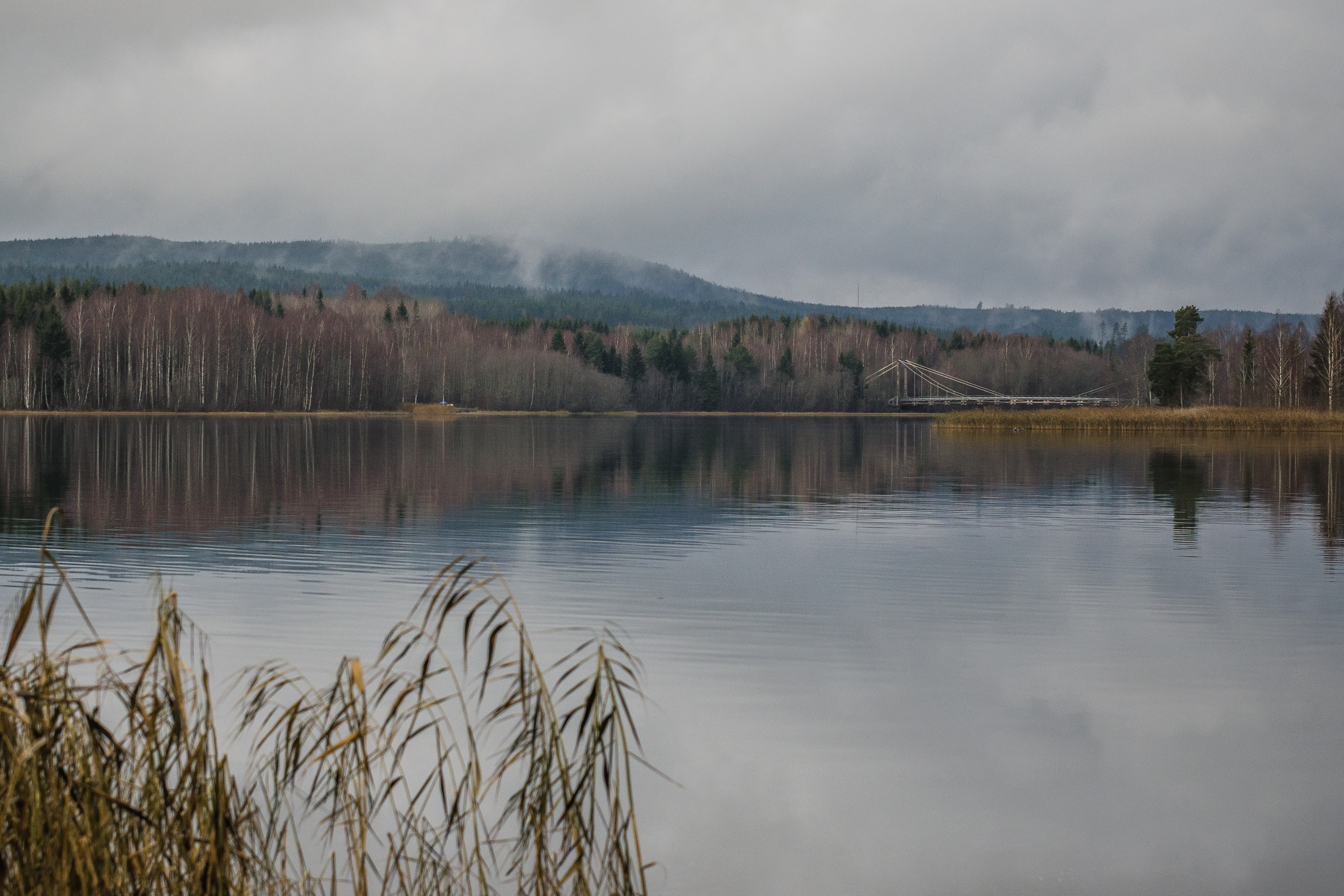
Det var en stilla och grå dag över Värmullen
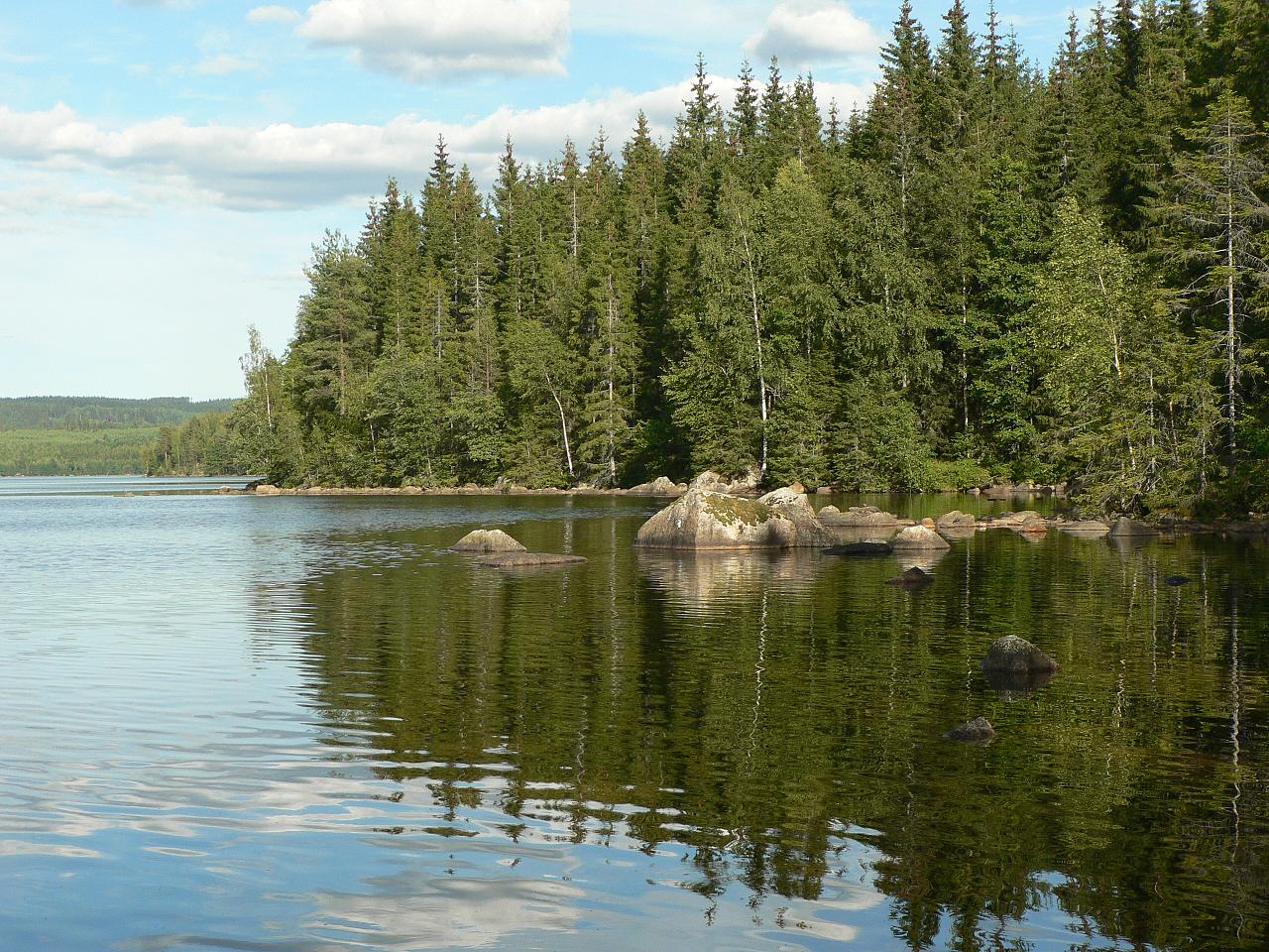
Stor Ullen
2014-03-15_16-30-34

2014-09-07_16-24-18
2014-09-07_16-40-02
2014-06-20_14-34-23
2014-09-07_16-39-43
2014-06-14_09-00-29

2015 WRC Rally Sweden - Shakedown
2014-09-07_16-27-44

2014-06-20_14-34-02
2014-06-20_14-10-26

2013-12-27_14-00-15
2014-06-20_14-07-09
2014-09-07_16-42-56
2014-06-20_14-31-28
2014-06-20_14-27-58
2014-06-20_14-06-14
2014-03-14_06-34-46
Topographic Map of Hagfors S, Sweden
Find elevation by address:

Places in Hagfors S, Sweden:
Places near Hagfors S, Sweden:
Sunnemo
Lidsbron 11, 95 Sunnemo, Sweden
Geijersholm Borg 2, 91 Hagfors, Sweden
Munkfors
Stensviken
BUTORP 2, 91 Hagfors, Sweden
Loviseberg Norra Heden 1, 94 Lakene, Sweden
Karlstad N
Hagfors Ö
Molkoms Pizzeria
Molkom
Forshaga Ö
Ekshärad
Uvanå 54, 91 Hagfors, Sweden
Uvanå
Klarälvsgatan 21
Deje
TYNGSJÖVÄGEN 22, 54 Äppelbo, Sweden
Muraregränd 8, 31 Deje, Sweden
Forshaga V
Recent Searches:
- Elevation of Bella Terra Blvd, Estero, FL, USA
- Elevation of Estates Loop, Priest River, ID, USA
- Elevation of Woodland Oak Pl, Thousand Oaks, CA, USA
- Elevation of Brownsdale Rd, Renfrew, PA, USA
- Elevation of Corcoran Ln, Suffolk, VA, USA
- Elevation of Mamala II, Sariaya, Quezon, Philippines
- Elevation of Sarangdanda, Nepal
- Elevation of 7 Waterfall Way, Tomball, TX, USA
- Elevation of SW 57th Ave, Portland, OR, USA
- Elevation of Crocker Dr, Vacaville, CA, USA