Elevation of US-, Pleasant View, CO, USA
Location: United States > Colorado > Montezuma County > Pleasant View >
Longitude: -108.71721
Latitude: 37.53421
Elevation: 2104m / 6903feet
Barometric Pressure: 78KPa
Elevation Map:
Satellite Map:
Related Photos:
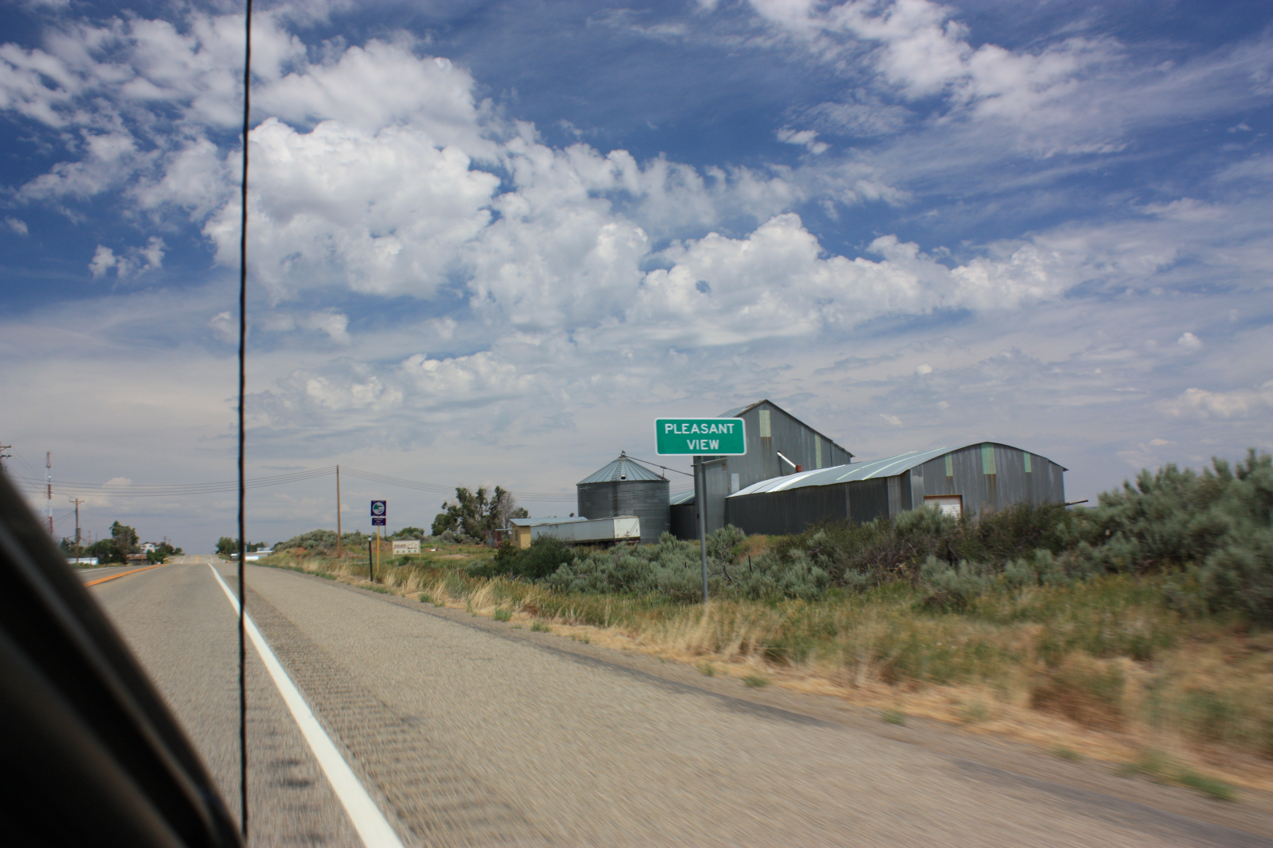
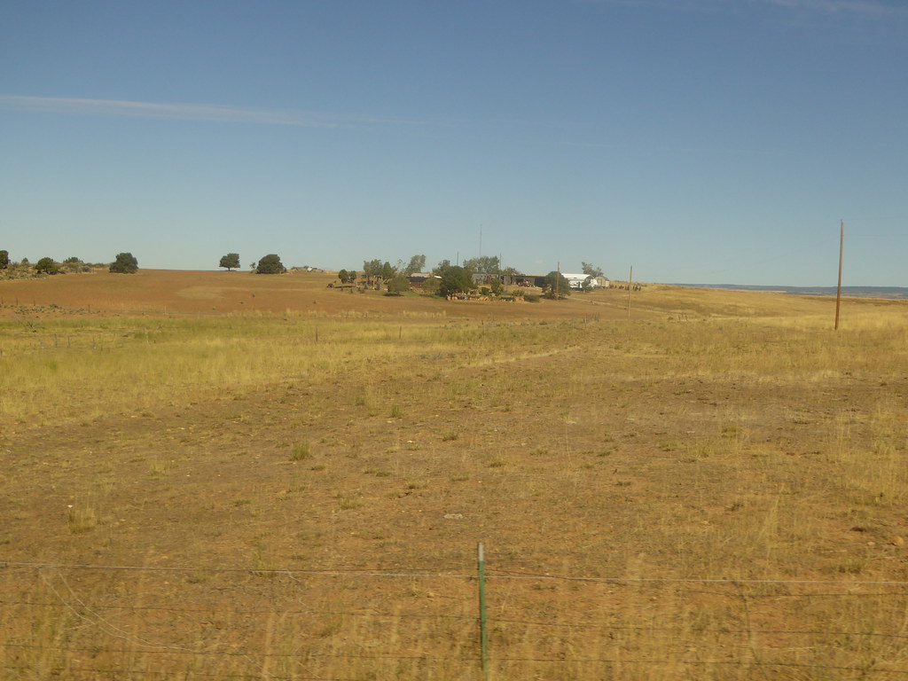
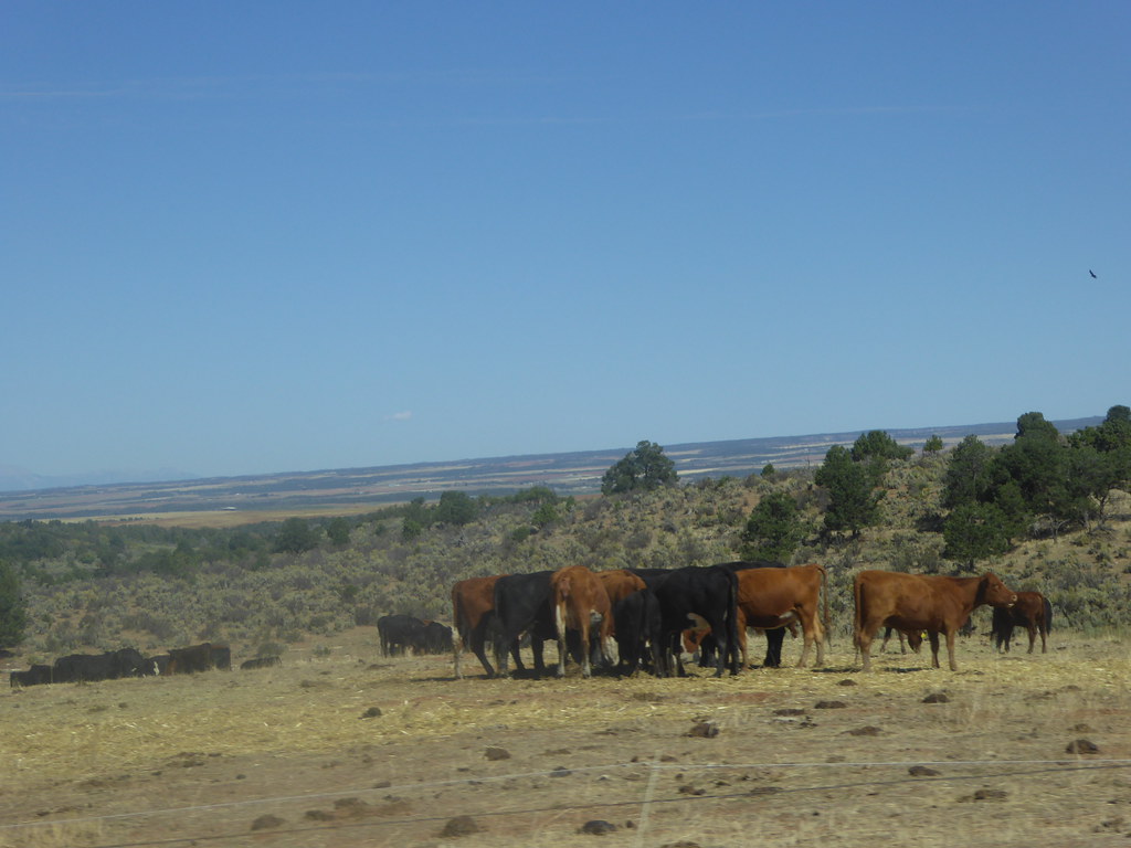
Pleasent View

Approaching the Rockies

Cortez - Mesa Verde and Ute Peak

Canyon of the Ancients
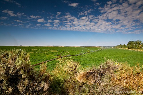
sprinklers in southwest colorado...
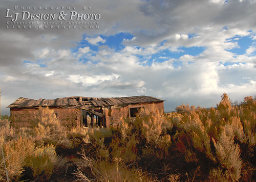
Abandoned II, Morning Light
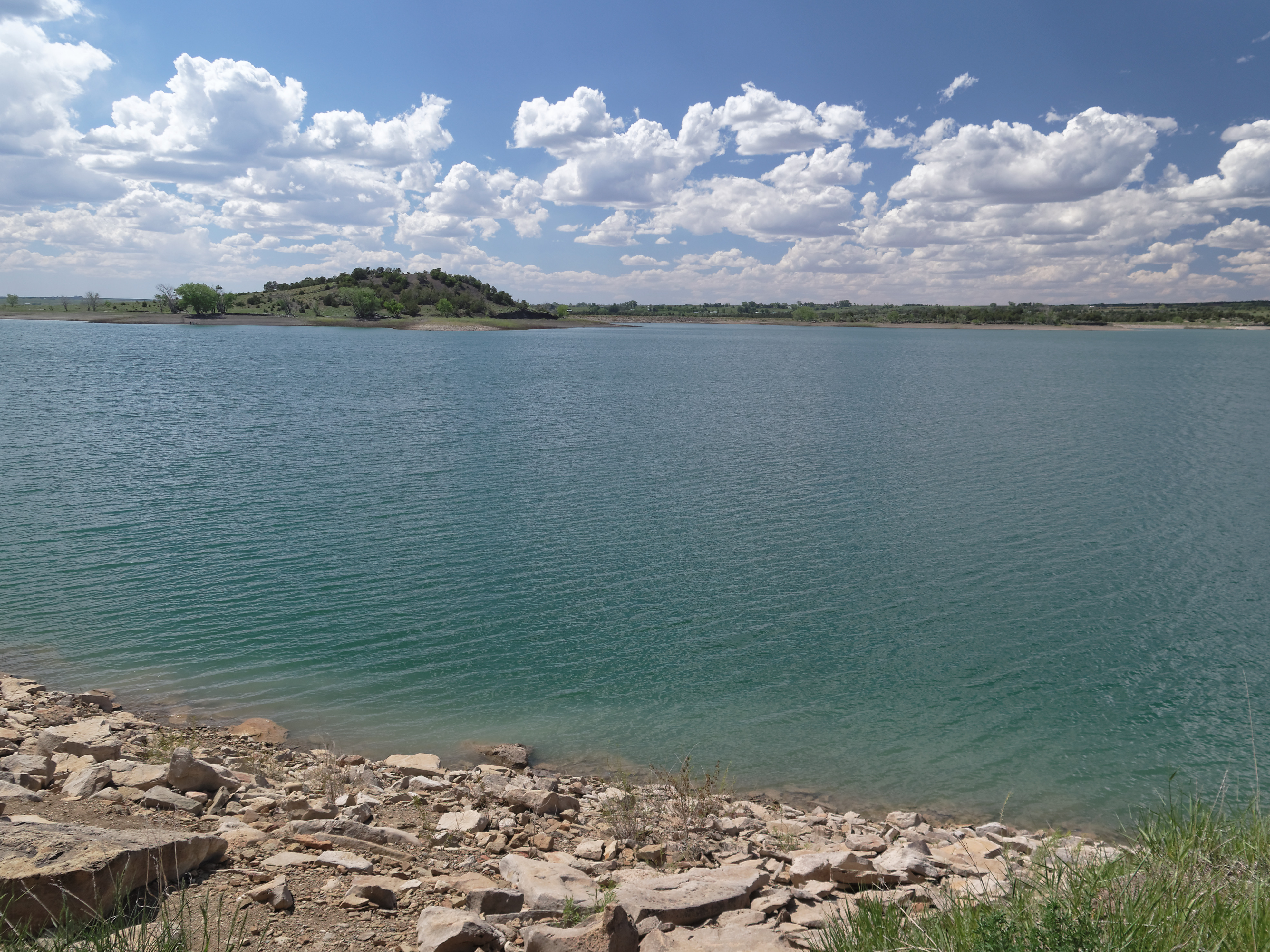
Narraguinnep Reservoir
19 September 2015 Colorado (11)

19 September 2015 Colorado (14)

19 September 2015 Colorado (13)
19 September 2015 Colorado (12)
iPhone Restore 260
Topographic Map of US-, Pleasant View, CO, USA
Find elevation by address:

Places near US-, Pleasant View, CO, USA:
Lewis
Rd W, Lewis, CO, USA
Pleasant View
US-, Pleasant View, CO, USA
18282 Rd 22
Road Cc
15238 Rd 21
28705 Us-491
14324 Rd 20
23692 Rd U
The Views Rv Park & Campground
24228 Rd T
18972 Rd 25.8
27930 Co Rd T
US-, Cahone, CO, USA
Cahone
14663 County Rd N
16530 Co Rd 11
Cortez, CO, USA
16831 Rd 28.4
Recent Searches:
- Elevation of Jadagoniai, Kaunas District Municipality, Lithuania
- Elevation of Pagonija rock, Kranto 7-oji g. 8"N, Kaunas, Lithuania
- Elevation of Co Rd 87, Jamestown, CO, USA
- Elevation of Tenjo, Cundinamarca, Colombia
- Elevation of Côte-des-Neiges, Montreal, QC H4A 3J6, Canada
- Elevation of Bobcat Dr, Helena, MT, USA
- Elevation of Zu den Ihlowbergen, Althüttendorf, Germany
- Elevation of Badaber, Peshawar, Khyber Pakhtunkhwa, Pakistan
- Elevation of SE Heron Loop, Lincoln City, OR, USA
- Elevation of Slanický ostrov, 01 Námestovo, Slovakia