Elevation of Lewis, CO, USA
Location: United States > Colorado > Montezuma County >
Longitude: -108.66926
Latitude: 37.4997136
Elevation: 2049m / 6722feet
Barometric Pressure: 79KPa
Elevation Map:
Satellite Map:
Related Photos:

Winter-Wonderland1
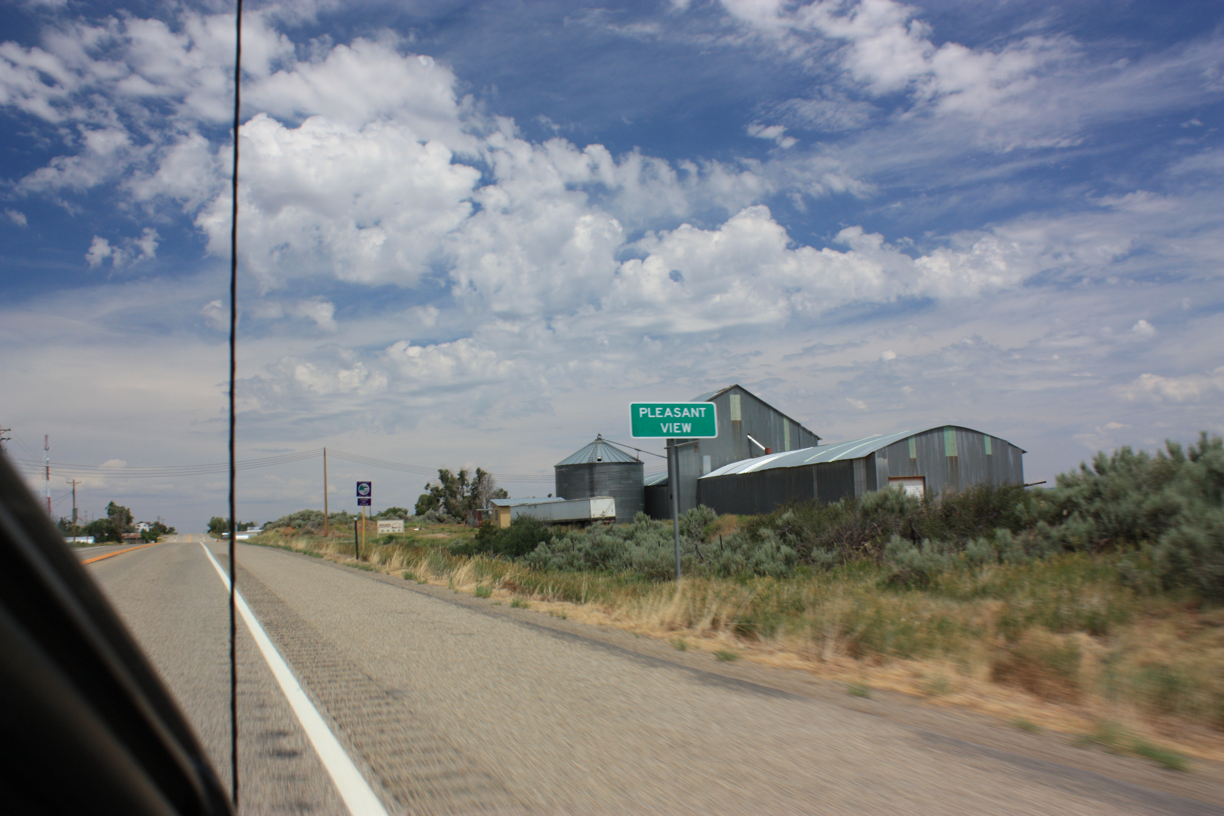
Pleasent View

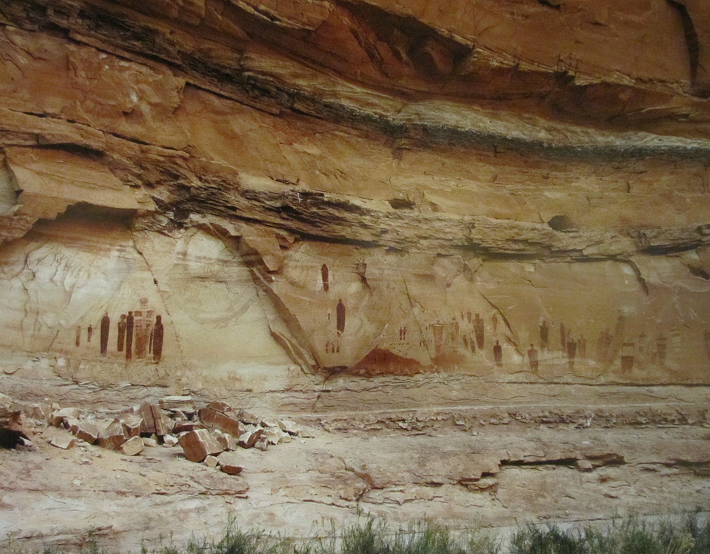
Canyon of the Ancients

Crop of Junkers
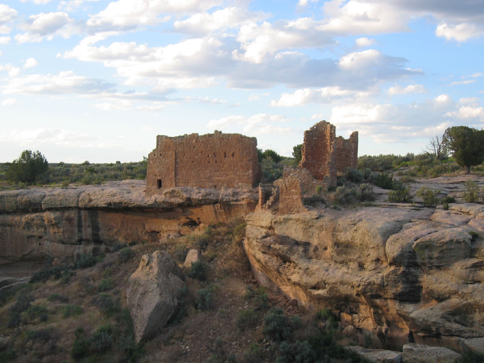
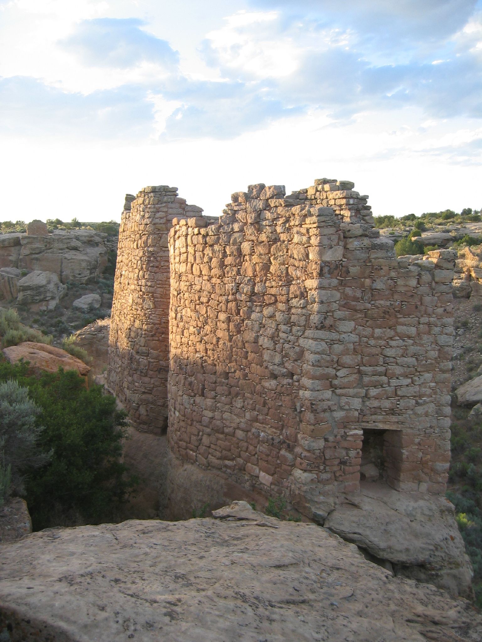
Hovenweep 04
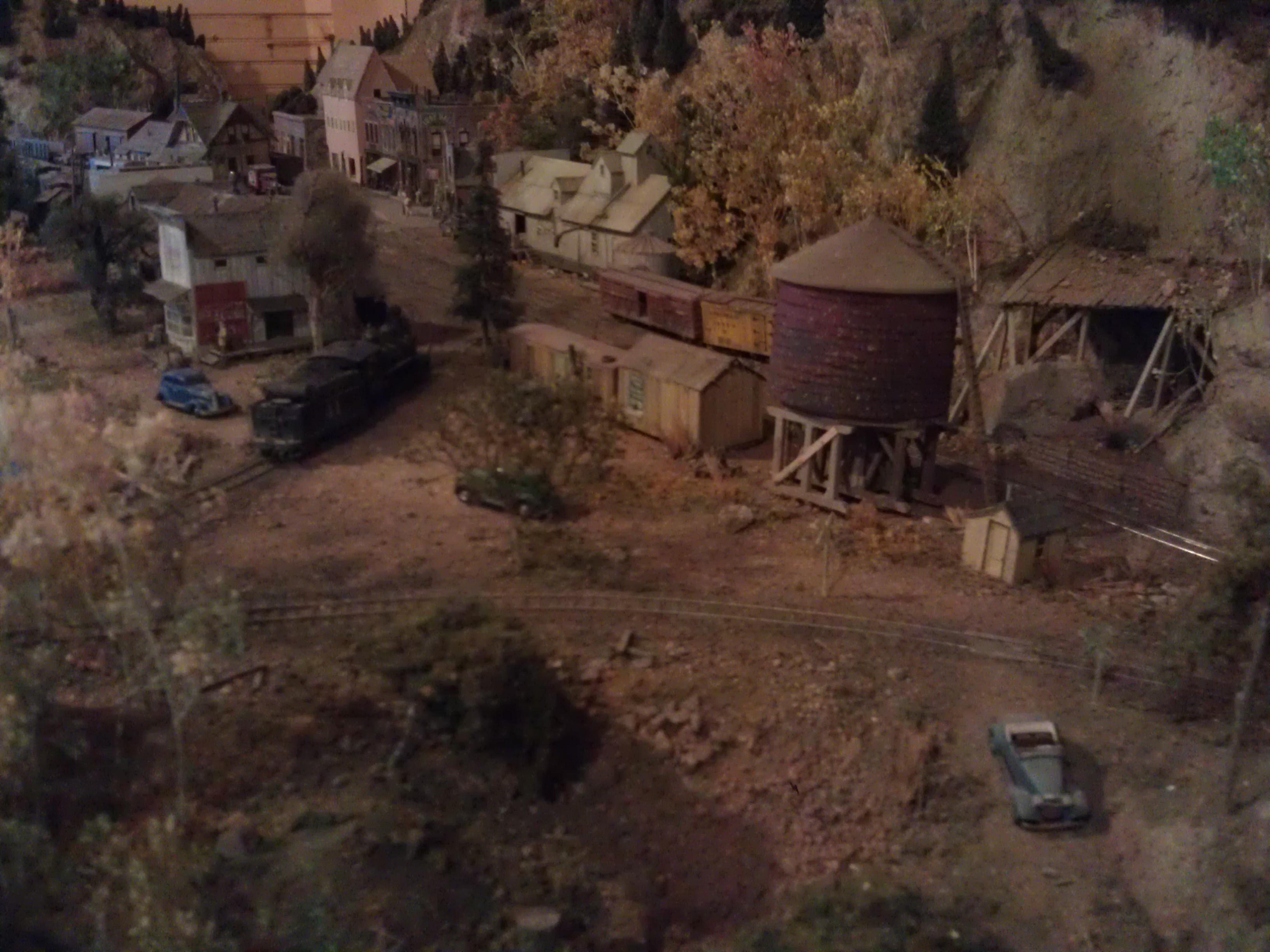
Rio Grande Southern Depot- Dolores CO (4)

Canyons of the Ancients #13
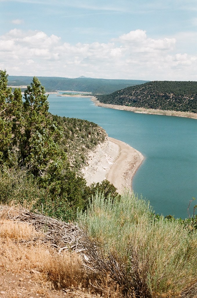
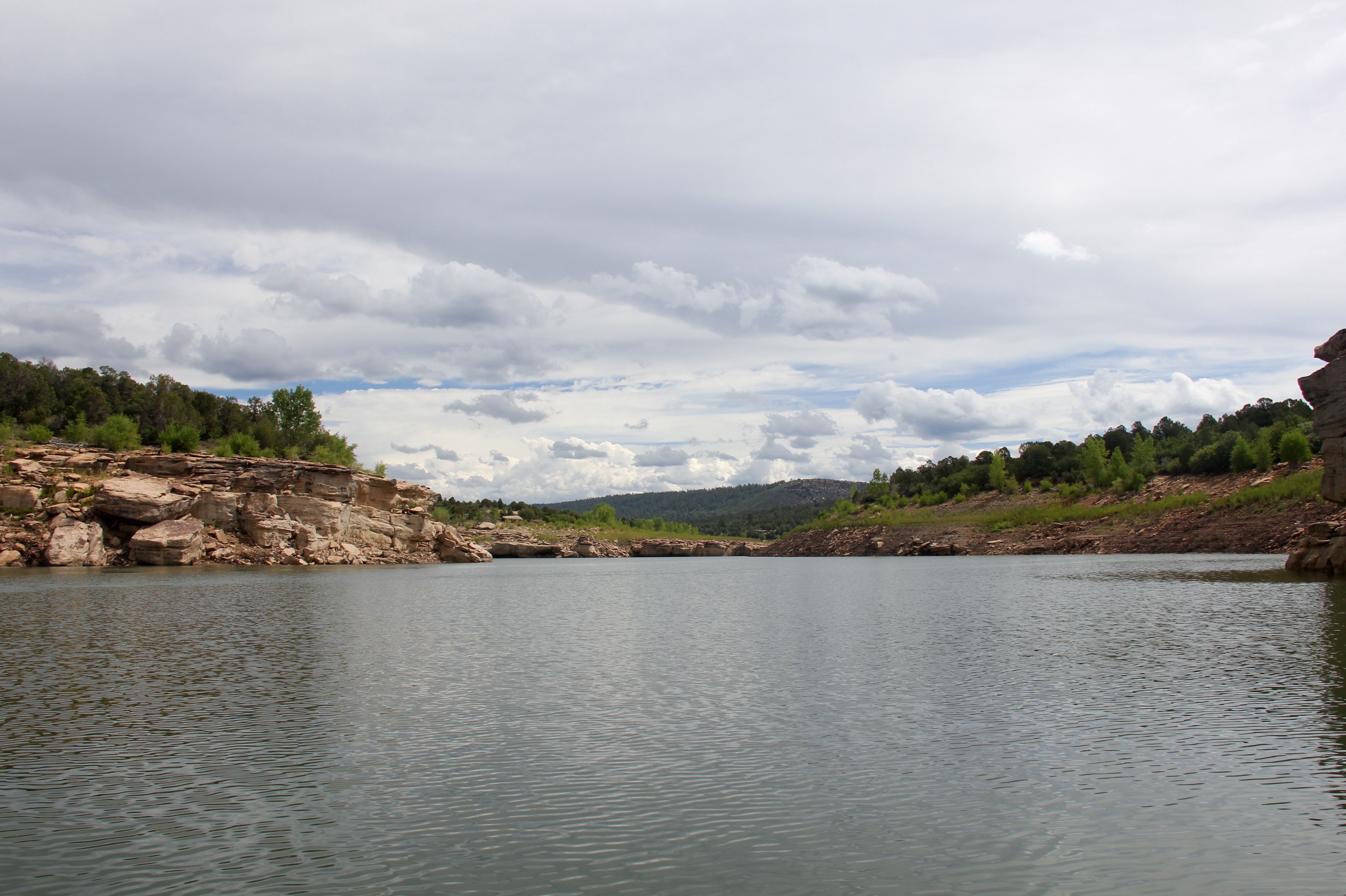
dolores mcphee reservoir 2
Canyons of the Ancients #16

Ute Mountain

Rabbit weed
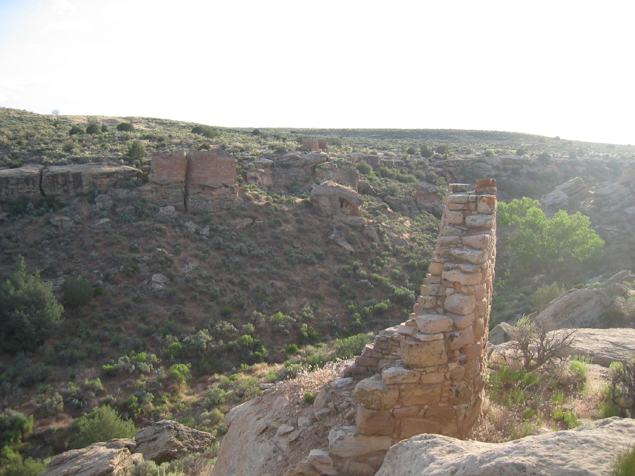
Hovenweep 07

dolores mcphee reservoir 1
Hovenweep 01
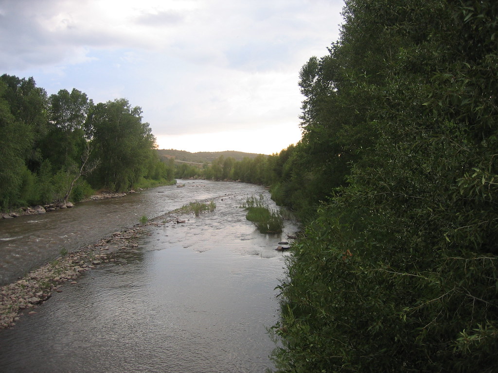
Dolores River Walk

Mom in the distance
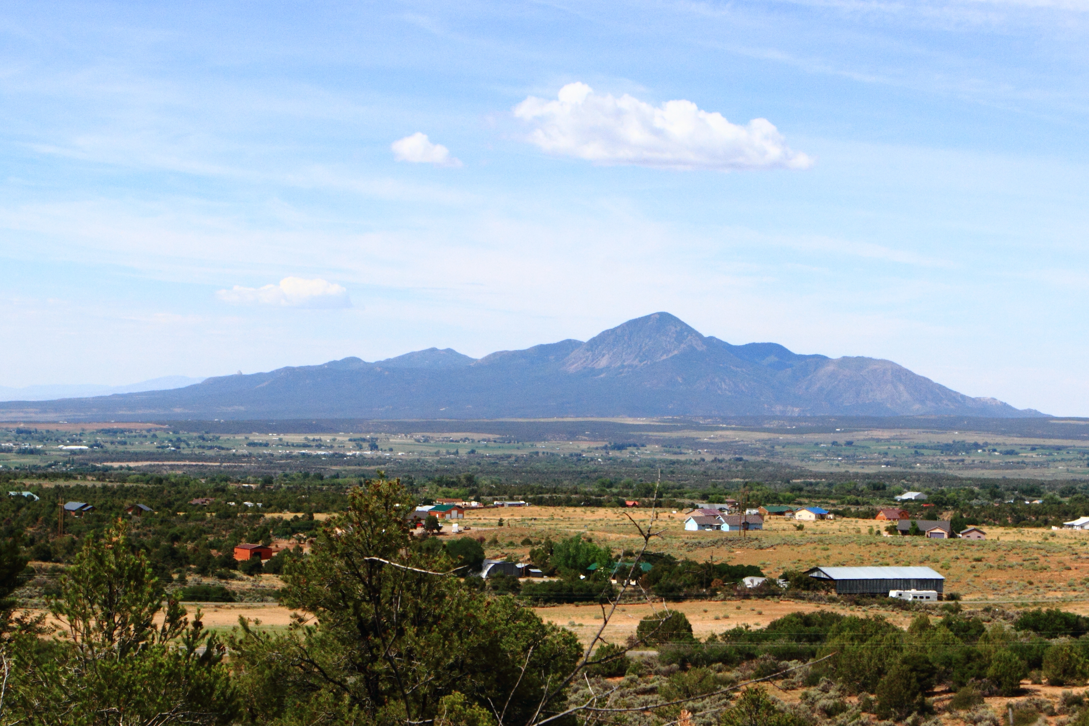
Sleeping Ute

Escalante Pueblo
Colorad 2014
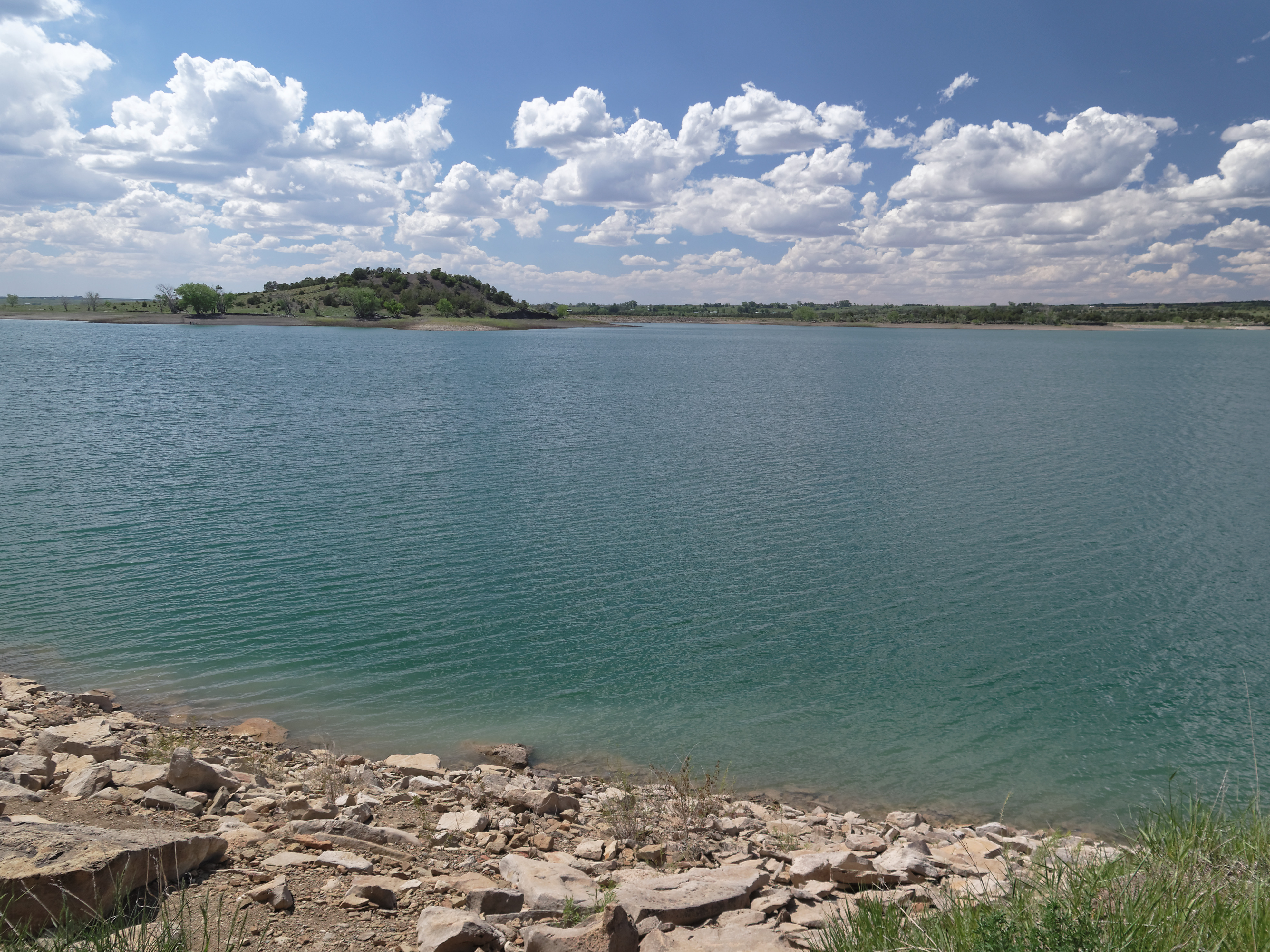
Narraguinnep Reservoir
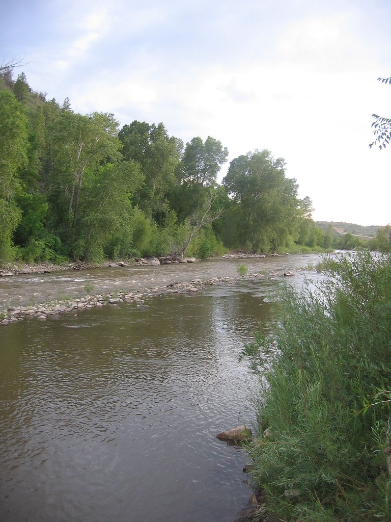
Dolores River Walk

Cortez - Mesa Verde and Ute Peak

Approaching the Rockies
Topographic Map of Lewis, CO, USA
Find elevation by address:

Places in Lewis, CO, USA:
Places near Lewis, CO, USA:
Rd W, Lewis, CO, USA
18282 Rd 22
US-, Pleasant View, CO, USA
23692 Rd U
15238 Rd 21
The Views Rv Park & Campground
24228 Rd T
14324 Rd 20
Road Cc
18972 Rd 25.8
27930 Co Rd T
Pleasant View
US-, Pleasant View, CO, USA
16831 Rd 28.4
27543 Rd P
15600 Road 28.8
Rustic Style Furniture
694 Cottonwood St
Dolores
212 W Montezuma Ave
Recent Searches:
- Elevation of Corso Fratelli Cairoli, 35, Macerata MC, Italy
- Elevation of Tallevast Rd, Sarasota, FL, USA
- Elevation of 4th St E, Sonoma, CA, USA
- Elevation of Black Hollow Rd, Pennsdale, PA, USA
- Elevation of Oakland Ave, Williamsport, PA, USA
- Elevation of Pedrógão Grande, Portugal
- Elevation of Klee Dr, Martinsburg, WV, USA
- Elevation of Via Roma, Pieranica CR, Italy
- Elevation of Tavkvetili Mountain, Georgia
- Elevation of Hartfords Bluff Cir, Mt Pleasant, SC, USA