Elevation of US-, Greenville, FL, USA
Location: United States > Florida > Taylor County >
Longitude: -83.632332
Latitude: 30.2876629
Elevation: 27m / 89feet
Barometric Pressure: 101KPa
Elevation Map:
Satellite Map:
Related Photos:
Zen sheepdog rake was here

Boyd limits, US221NB
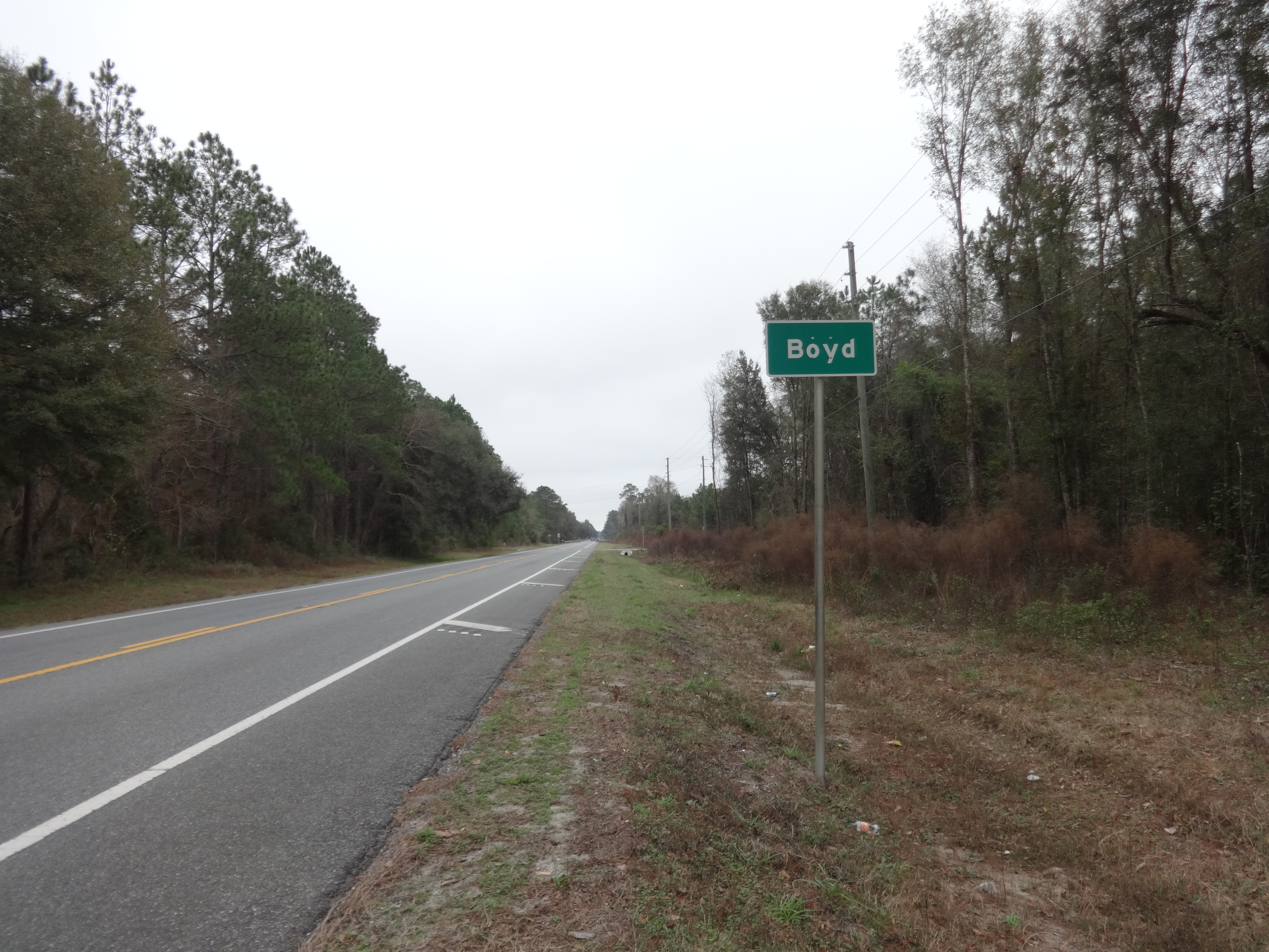
Boyd limits, US221SB
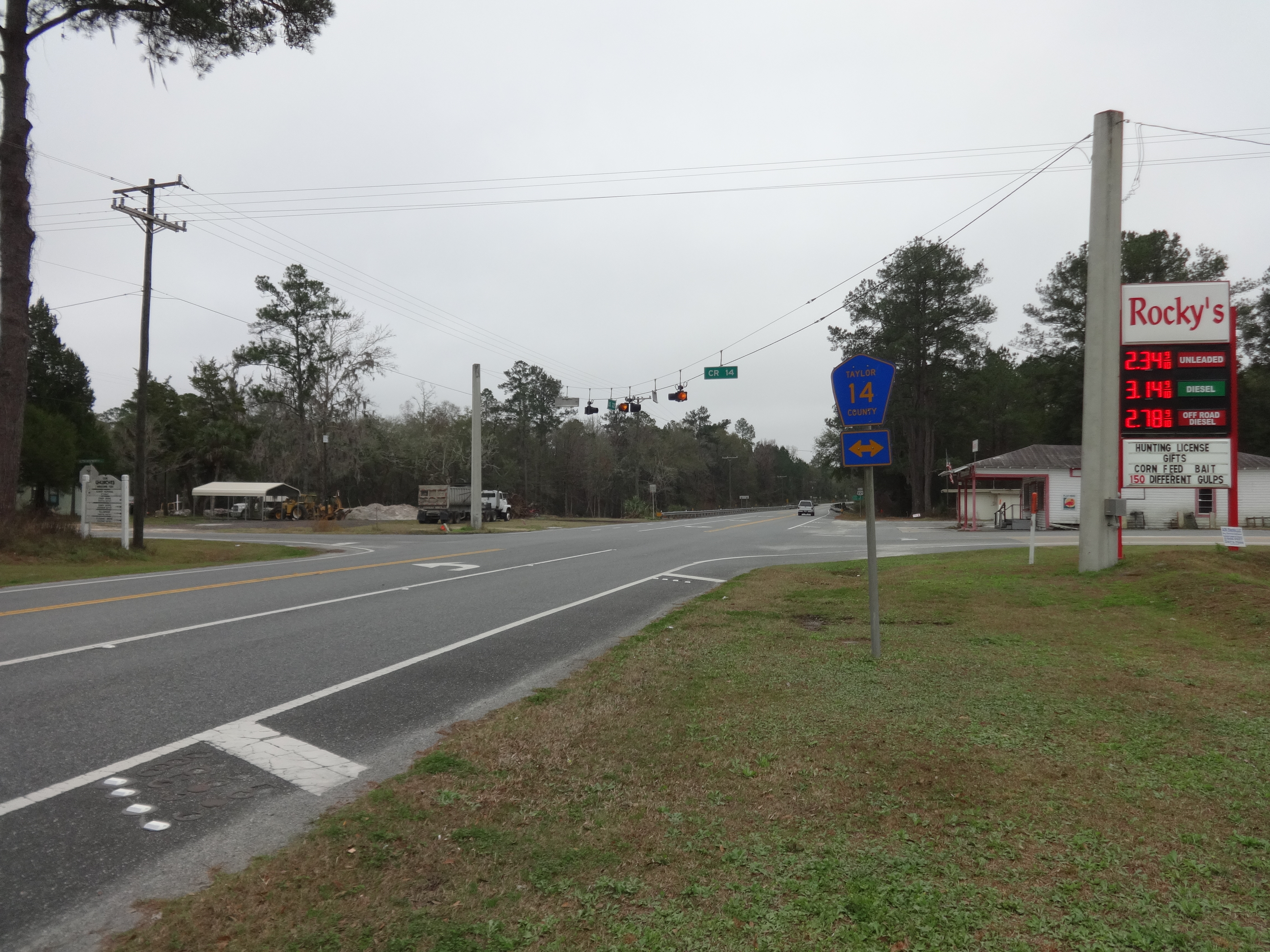
CR14, US221SB intersection
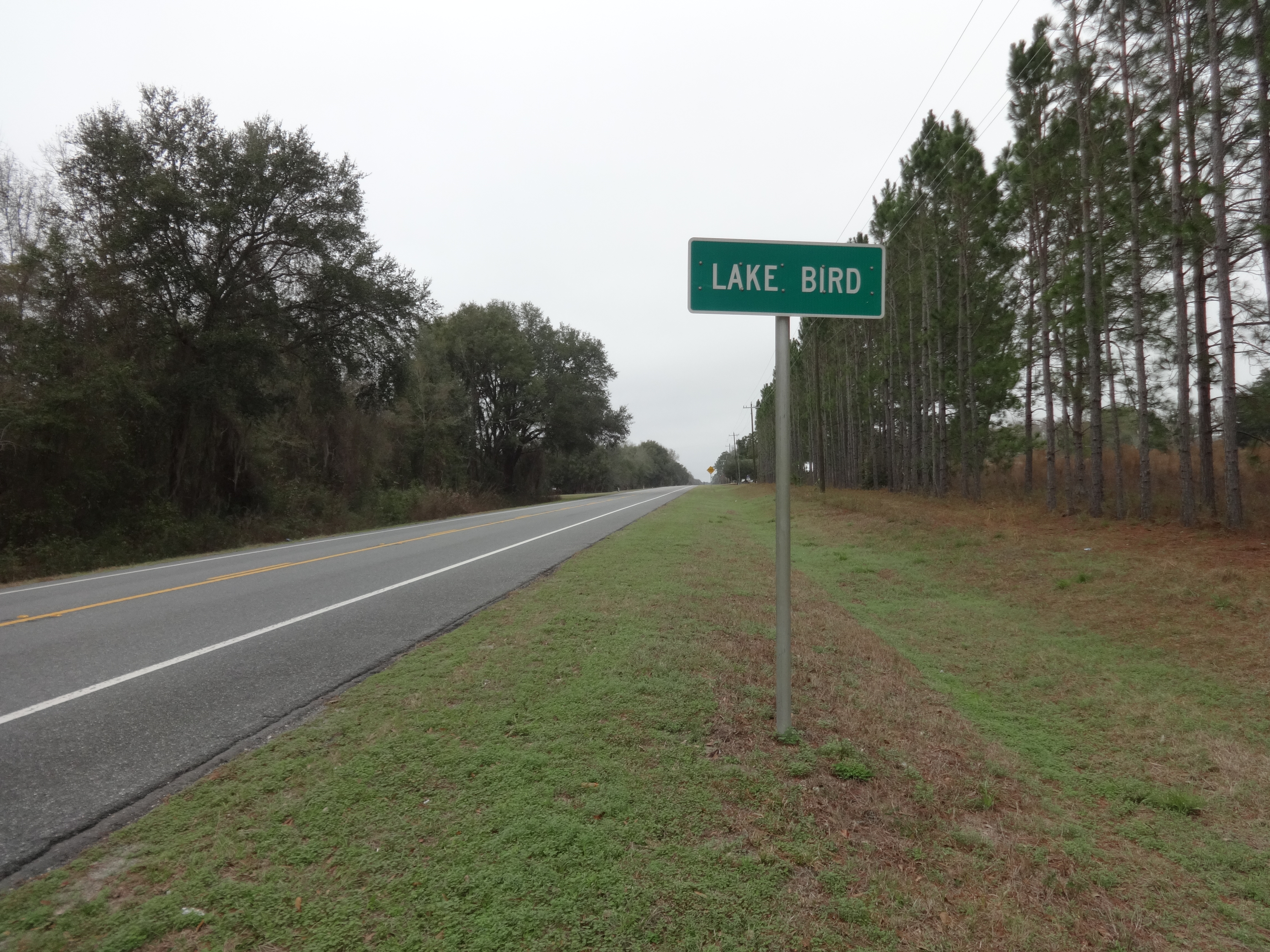
Lake Bird limits, US221NB
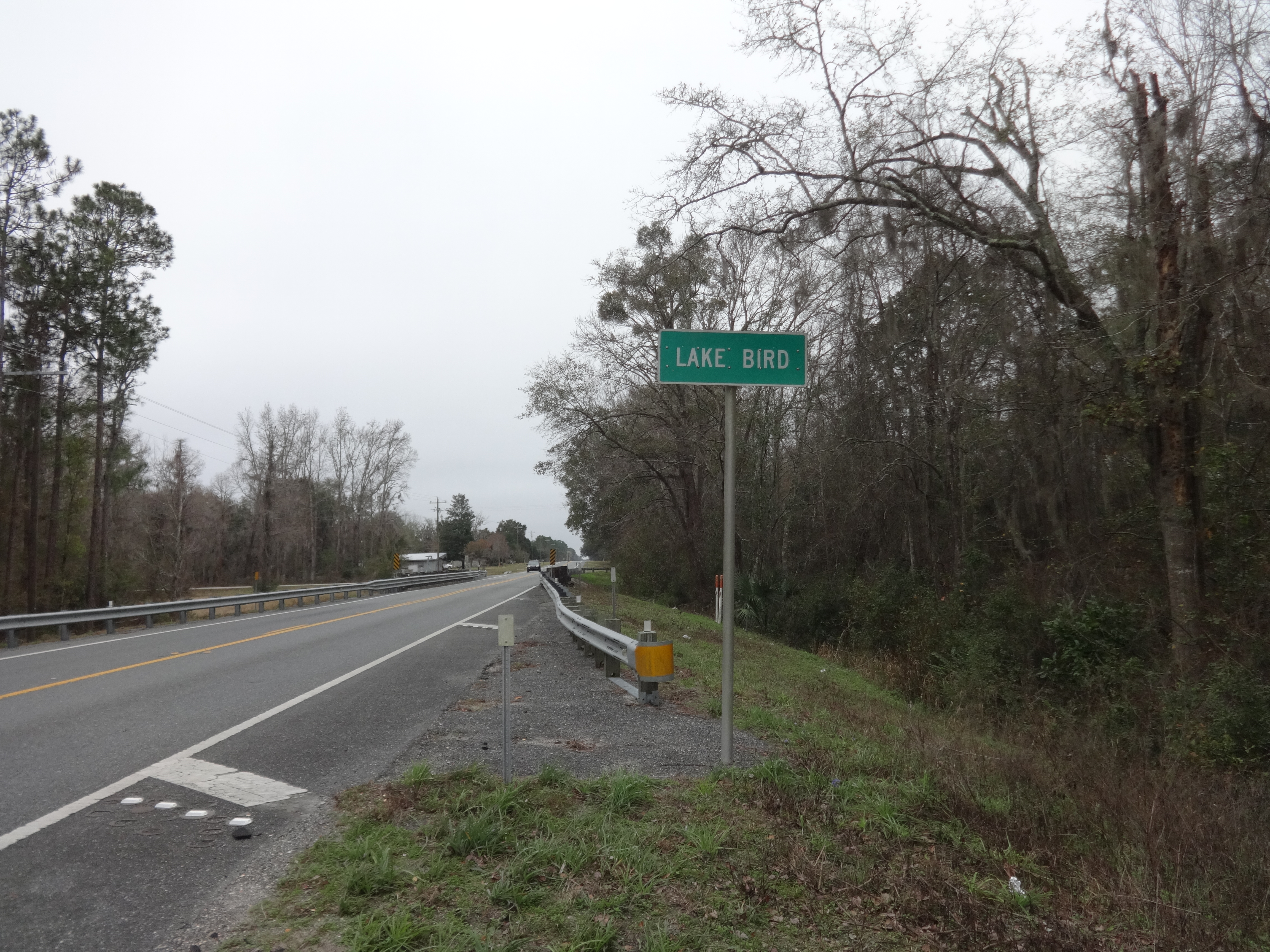
Lake Bird limits, US221SB
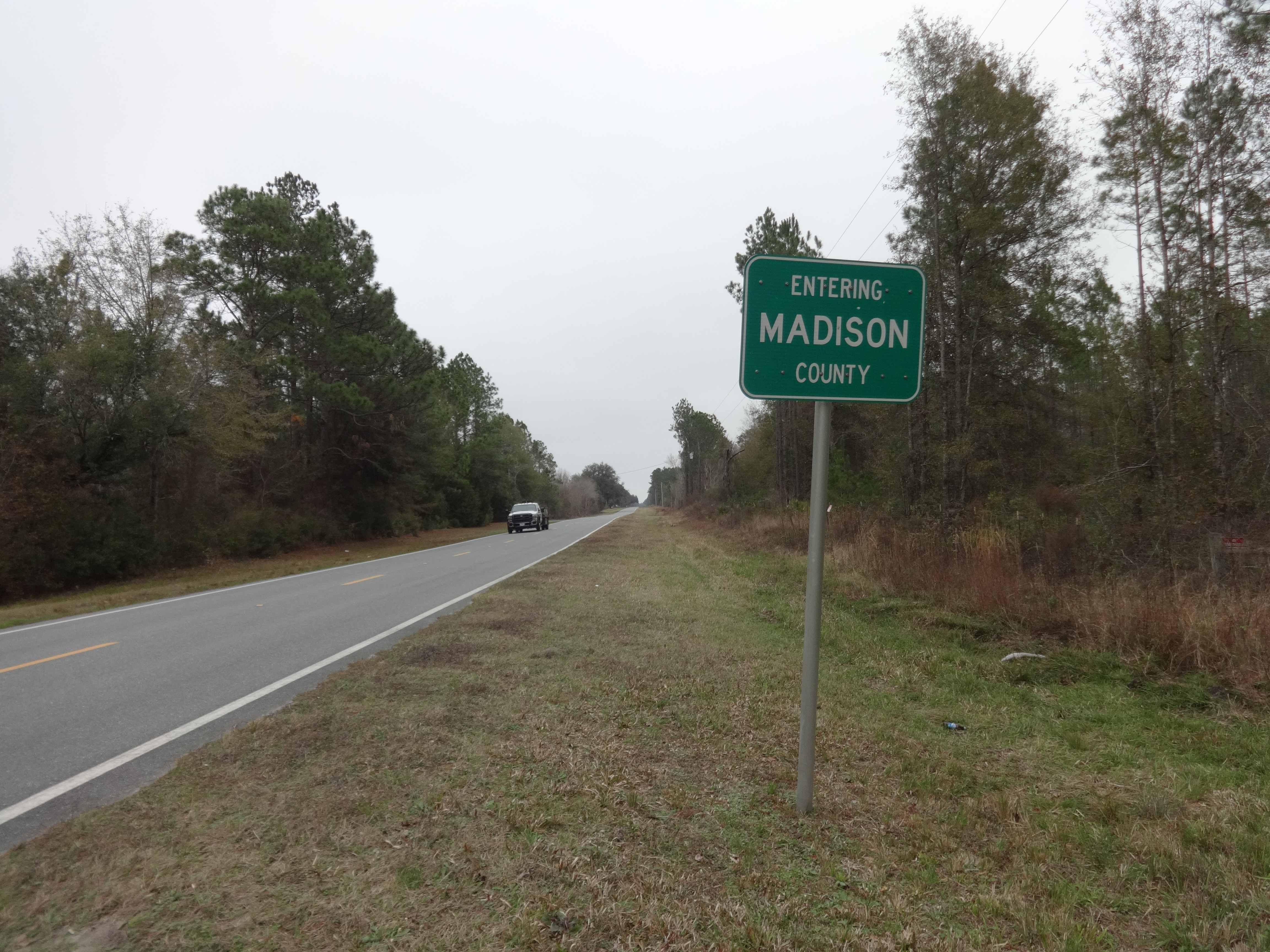
Madison County, CR14EB
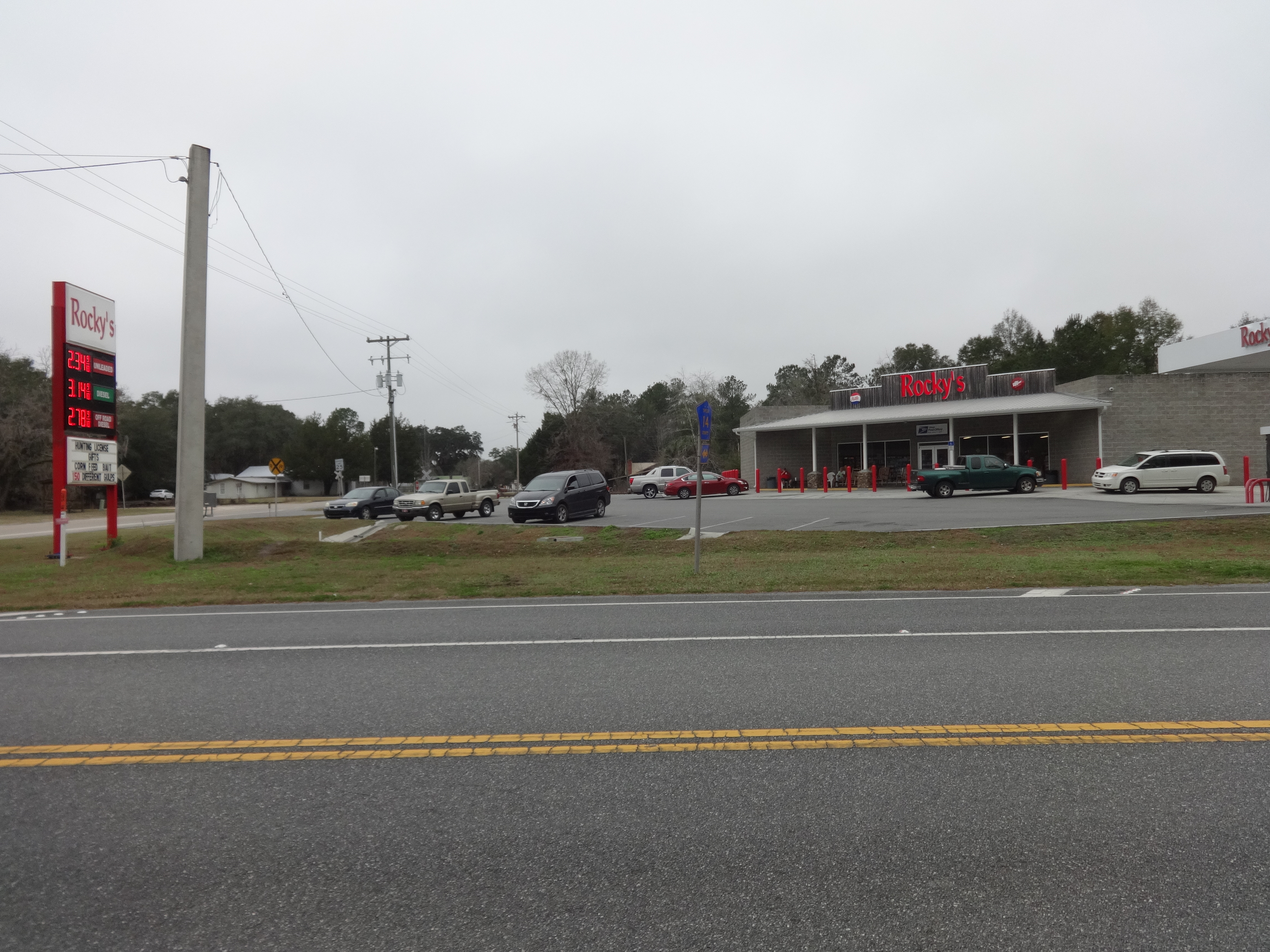
Rocky's Gas, Shady Grove
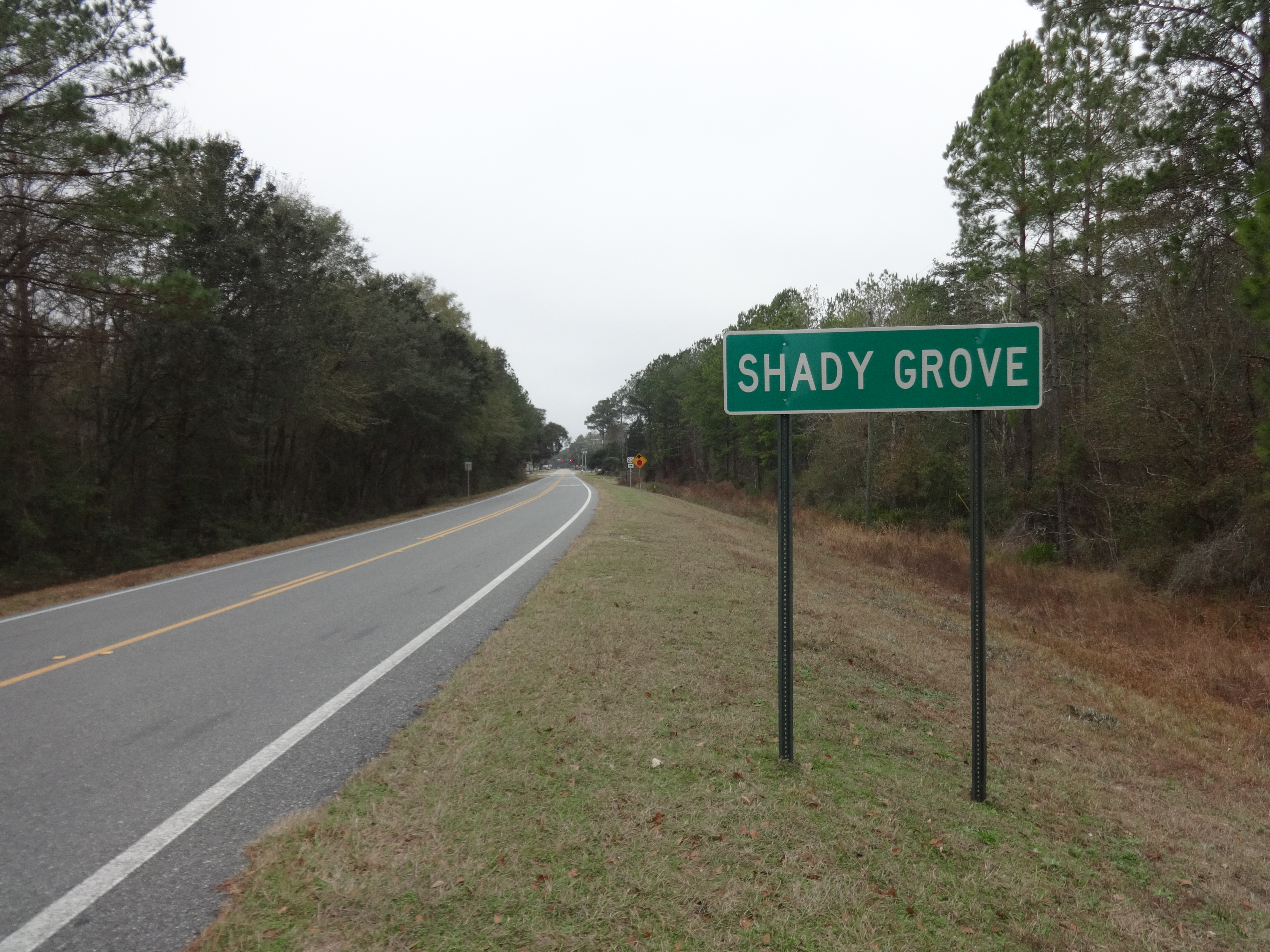
Shady Grove limits, CR14WB
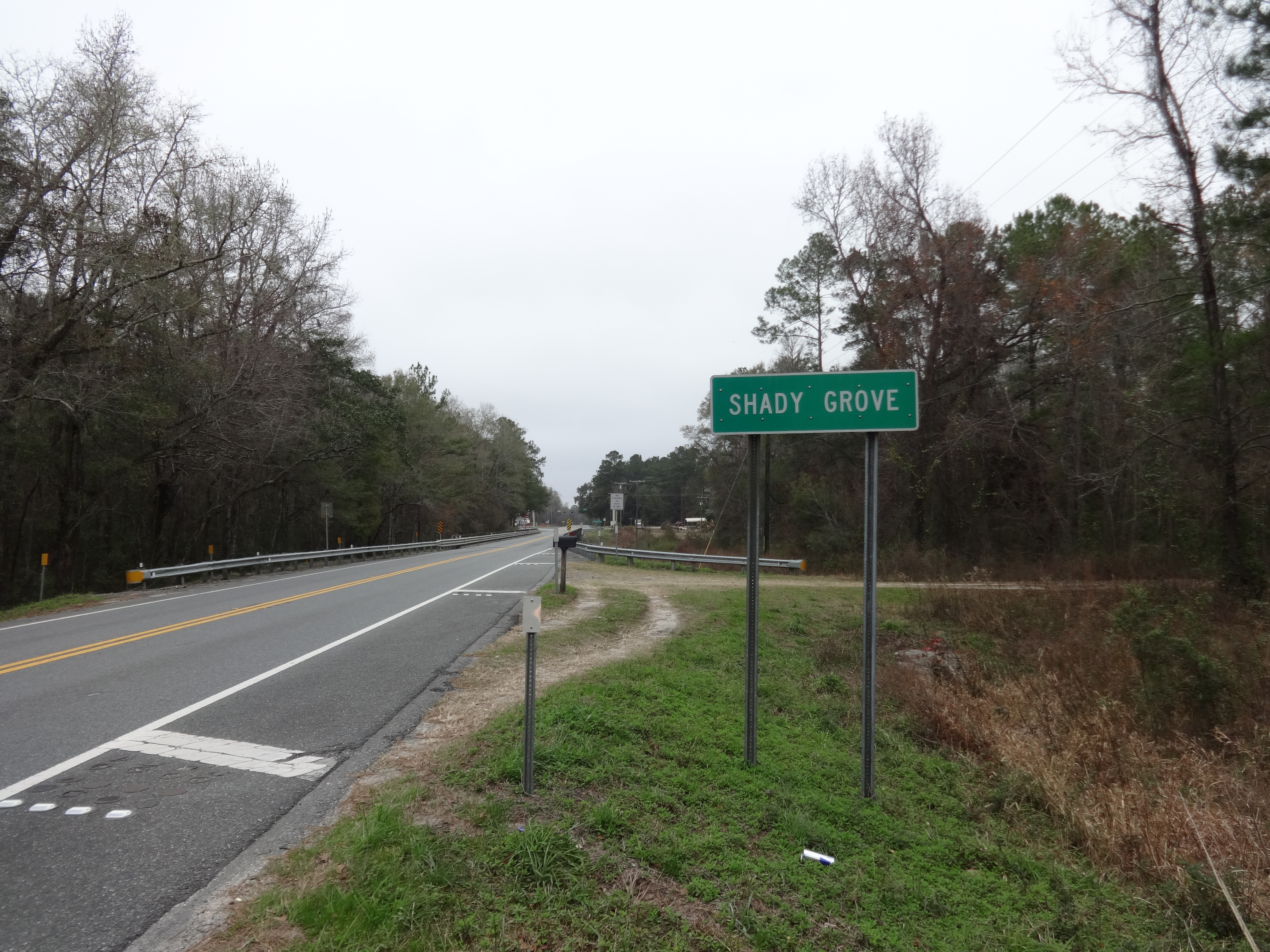
Shady Grove limits, US221NB
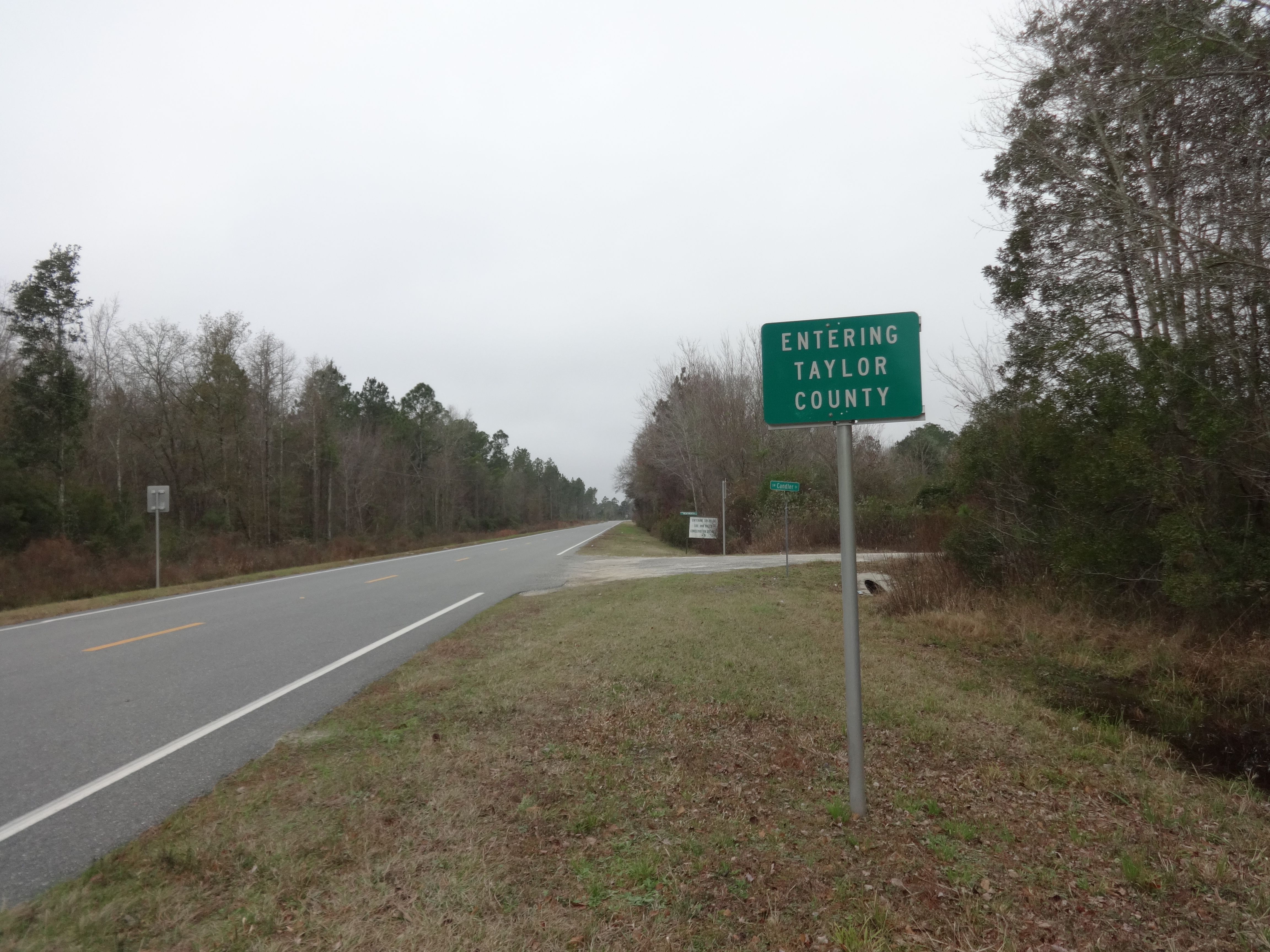
Taylor County, CR14WB

#grind

Rena and Ken

Shepard's Obama

Jesse and his Flying V
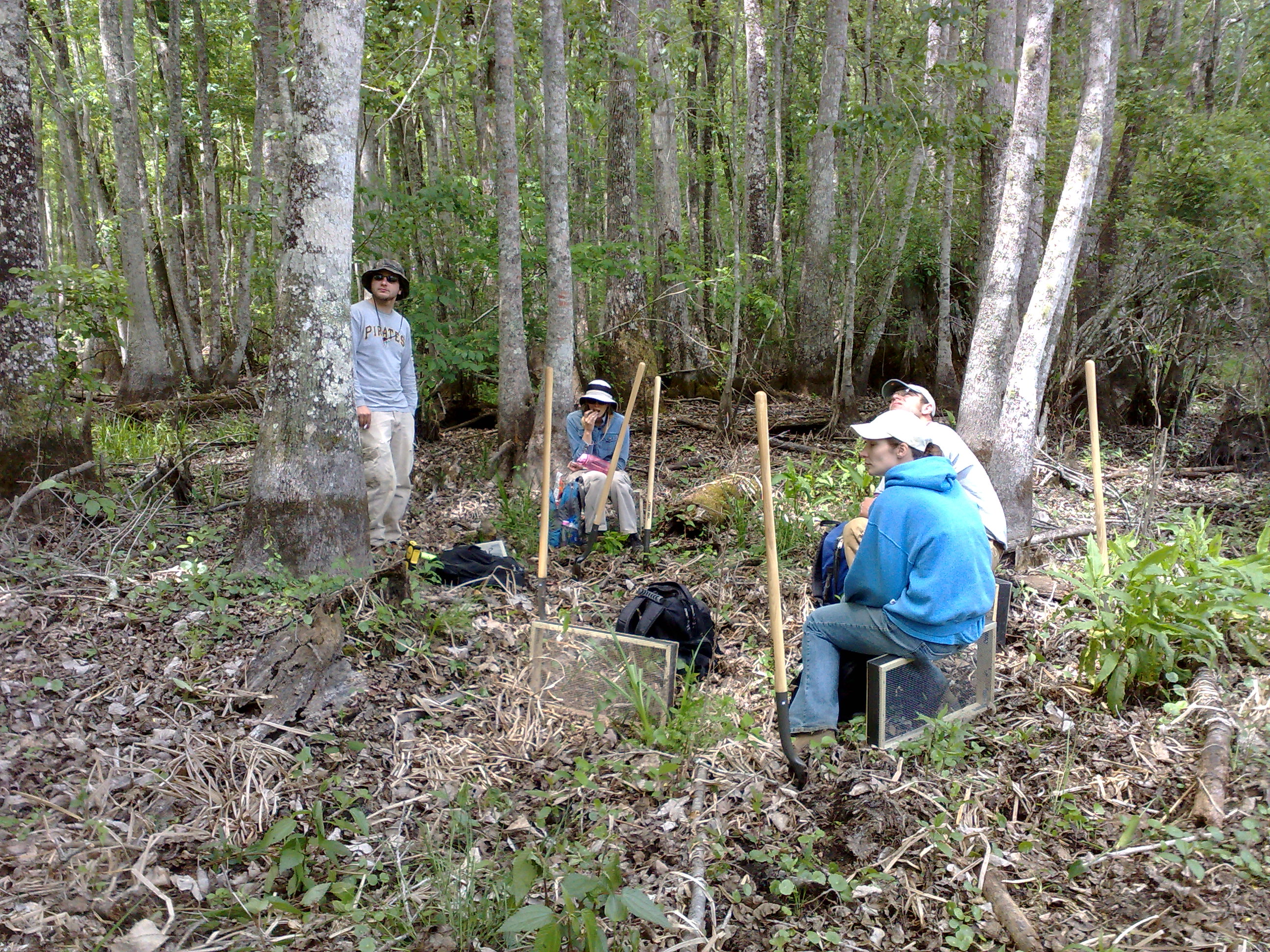
Florida fieldwork
Topographic Map of US-, Greenville, FL, USA
Find elevation by address:

Places near US-, Greenville, FL, USA:
SW 1 Federal Rd, Greenville, FL, USA
138 Sw Deland Loop
Boyd Rd, Perry, FL, USA
Mom's Way Ln, Perry, FL, USA
Eridu
US-19, Greenville, FL, USA
1924 Pisgah Rd
Vera Lane
Slaughter Road
3547 Slaughter Rd
7089 Sw 1 Federal Rd
1449 Bernard Johnson
1566 Grubbs Rd
2140 Johnson Stripling Rd
2036 Co Rd 606
216 W Bay St
Perry
Capan St, Greenville, FL, USA
Greenville
2309 Fl-30
Recent Searches:
- Elevation of Corso Fratelli Cairoli, 35, Macerata MC, Italy
- Elevation of Tallevast Rd, Sarasota, FL, USA
- Elevation of 4th St E, Sonoma, CA, USA
- Elevation of Black Hollow Rd, Pennsdale, PA, USA
- Elevation of Oakland Ave, Williamsport, PA, USA
- Elevation of Pedrógão Grande, Portugal
- Elevation of Klee Dr, Martinsburg, WV, USA
- Elevation of Via Roma, Pieranica CR, Italy
- Elevation of Tavkvetili Mountain, Georgia
- Elevation of Hartfords Bluff Cir, Mt Pleasant, SC, USA