Elevation of Slaughter Rd, Perry, FL, USA
Location: United States > Florida > Taylor County > Perry >
Longitude: -83.630383
Latitude: 30.153966
Elevation: 12m / 39feet
Barometric Pressure: 101KPa
Elevation Map:
Satellite Map:
Related Photos:
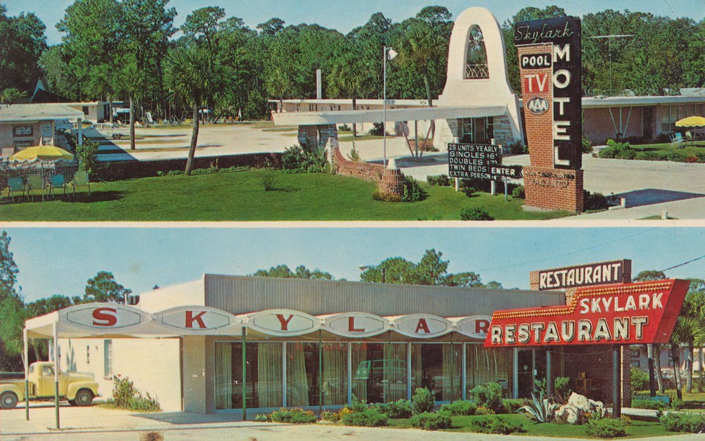
Skylark Motel - Perry, Florida

Spanish Moss

Down at Daddy's Place.
Topographic Map of Slaughter Rd, Perry, FL, USA
Find elevation by address:

Places near Slaughter Rd, Perry, FL, USA:
Slaughter Road
Mom's Way Ln, Perry, FL, USA
1924 Pisgah Rd
Vera Lane
1566 Grubbs Rd
2036 Co Rd 606
Boyd Rd, Perry, FL, USA
2309 Fl-30
2309 Fl-30
1929 Dice Rd
216 W Bay St
Perry
2140 Johnson Stripling Rd
Woodridge Apartments
1449 Bernard Johnson
Hampton Spring, Perry, FL, USA
180 Highland Point Rd
Walter Smith Road
1 Buckeye Dr, Perry, FL, USA
Fenholloway Rd, Perry, FL, USA
Recent Searches:
- Elevation of Congressional Dr, Stevensville, MD, USA
- Elevation of Bellview Rd, McLean, VA, USA
- Elevation of Stage Island Rd, Chatham, MA, USA
- Elevation of Shibuya Scramble Crossing, 21 Udagawacho, Shibuya City, Tokyo -, Japan
- Elevation of Jadagoniai, Kaunas District Municipality, Lithuania
- Elevation of Pagonija rock, Kranto 7-oji g. 8"N, Kaunas, Lithuania
- Elevation of Co Rd 87, Jamestown, CO, USA
- Elevation of Tenjo, Cundinamarca, Colombia
- Elevation of Côte-des-Neiges, Montreal, QC H4A 3J6, Canada
- Elevation of Bobcat Dr, Helena, MT, USA