Elevation of US-, Dalhart, TX, USA
Location: United States > Texas > Dallam County > Dalhart >
Longitude: -102.53646
Latitude: 36.3697964
Elevation: 1256m / 4121feet
Barometric Pressure: 87KPa
Elevation Map:
Satellite Map:
Related Photos:
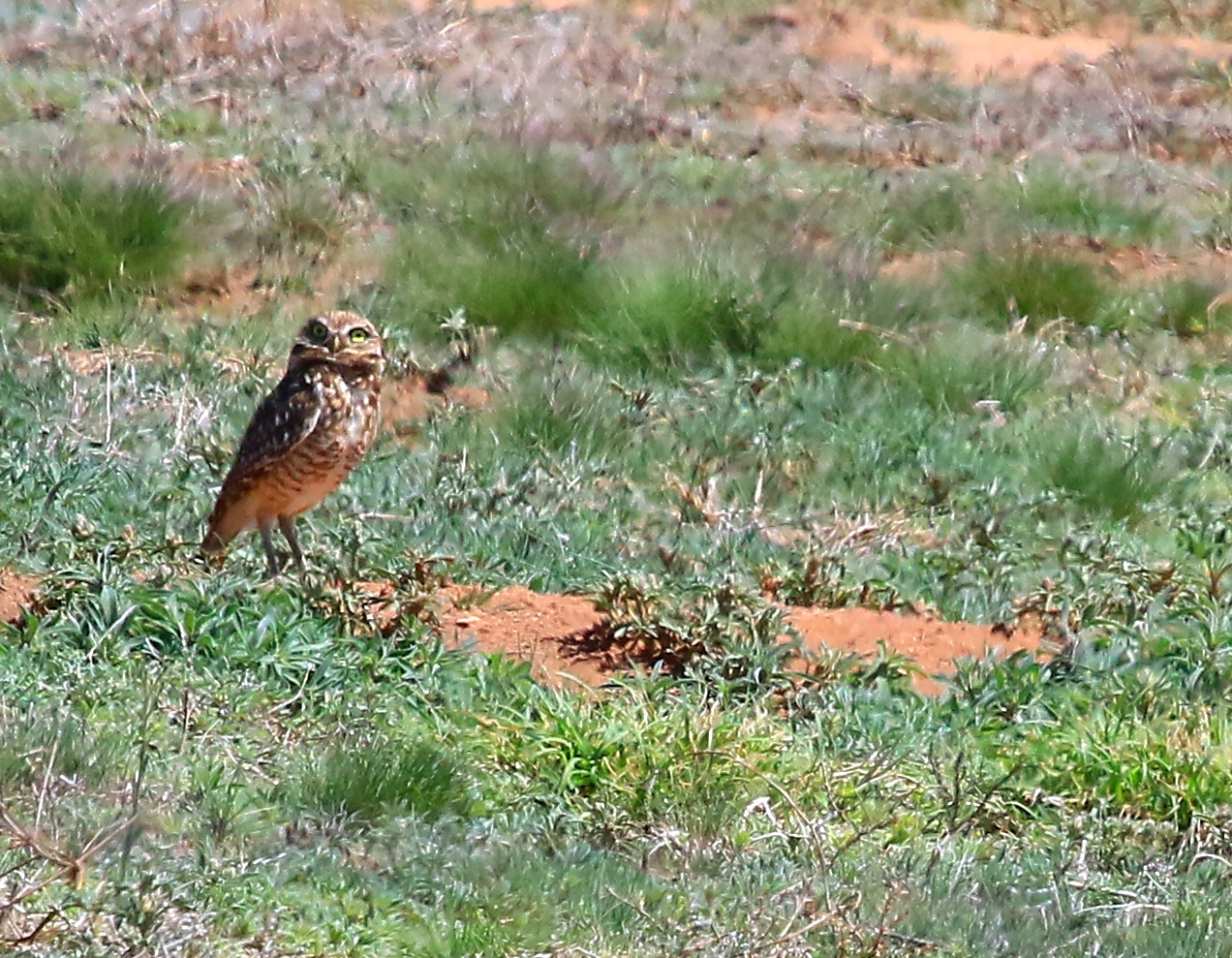
burrowing owl at Kiowa National Grassland TX 854A9514

burrowing owl at Kiowa National Grassland TX 854A9515
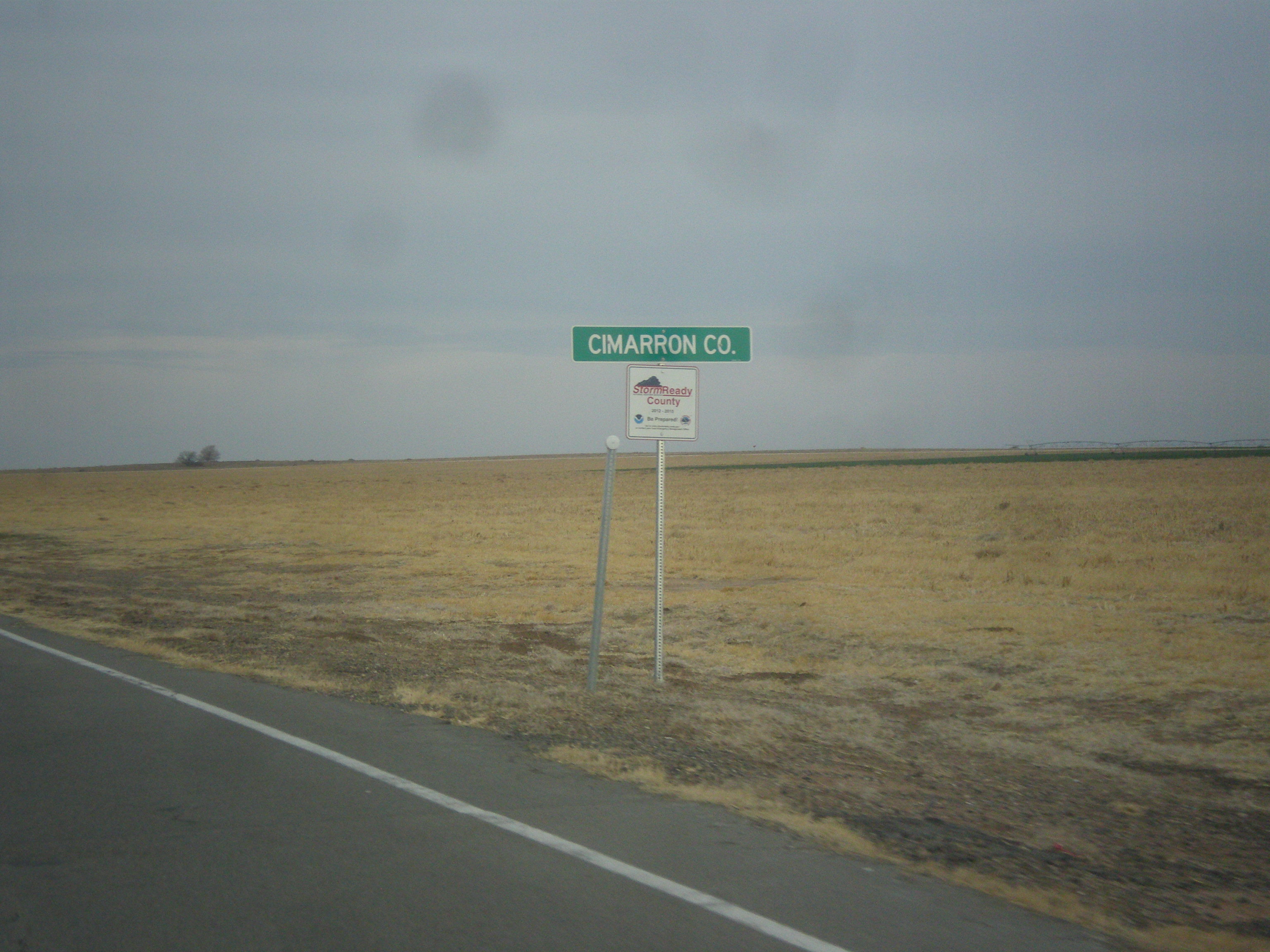
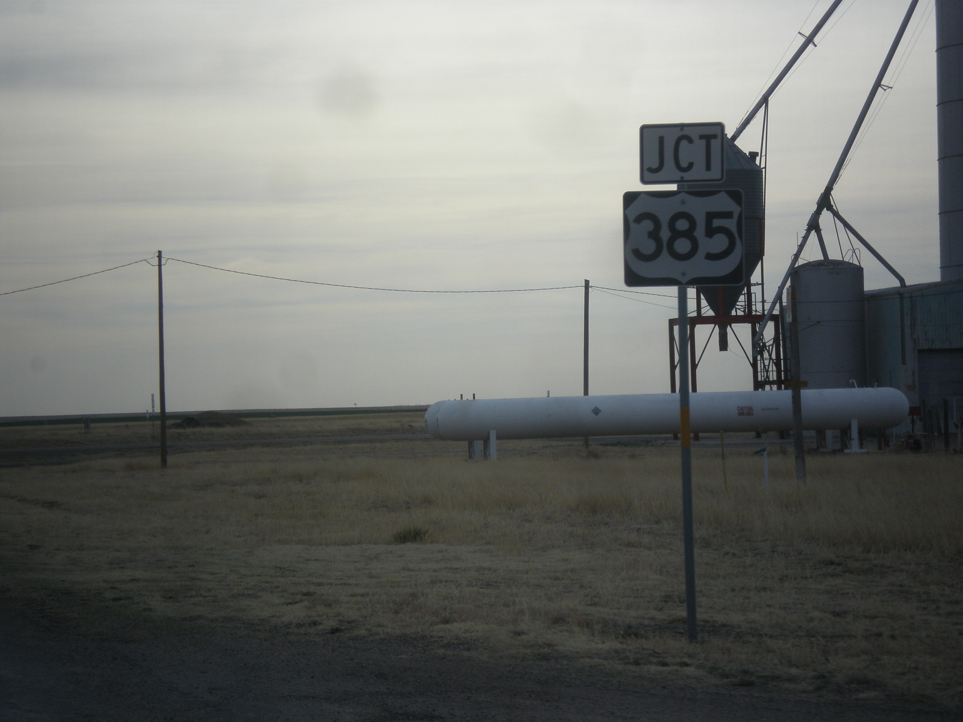
US-385 North - Cimarron Co.
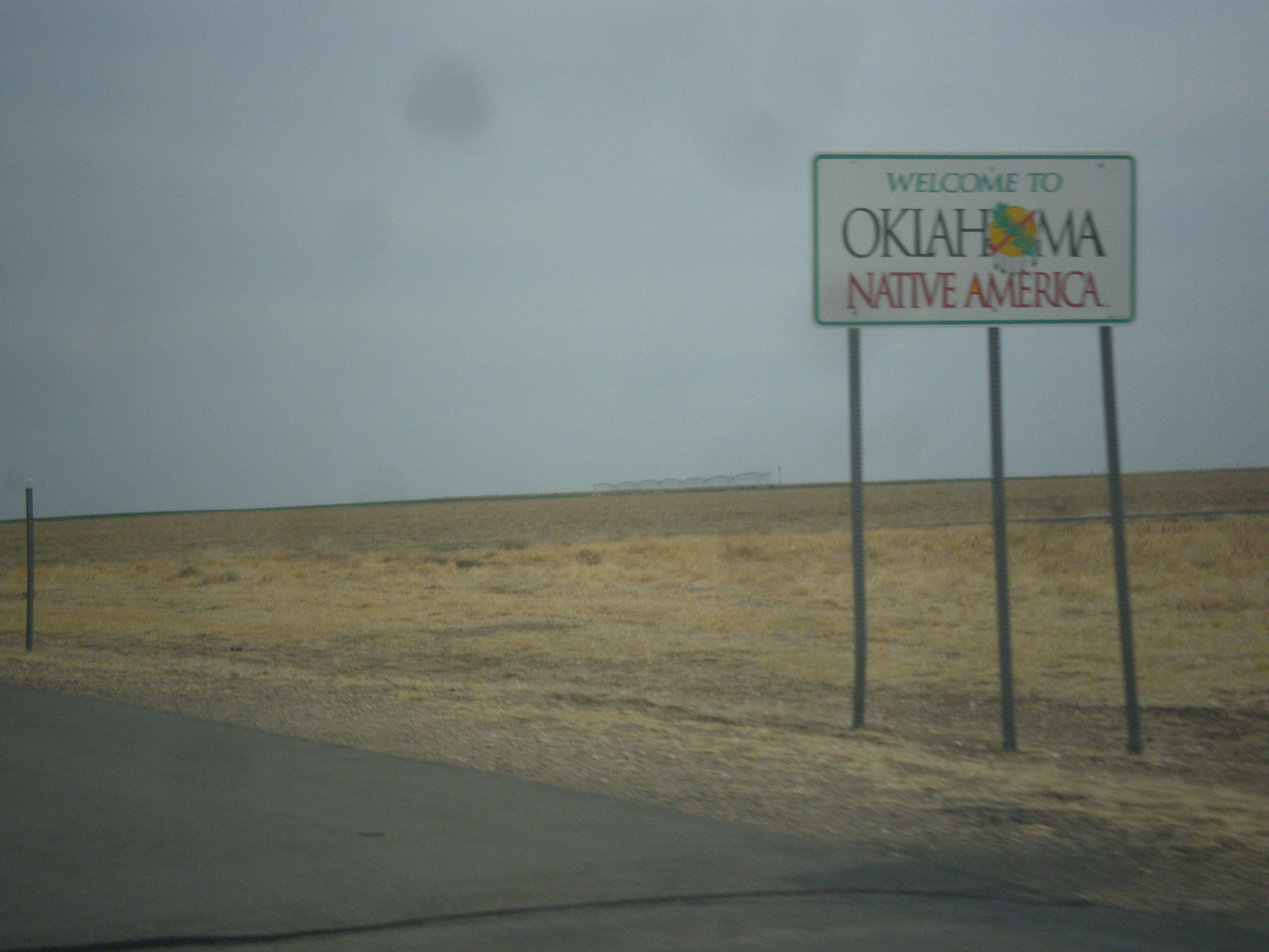
US-385 North - Welcome To Oklahoma
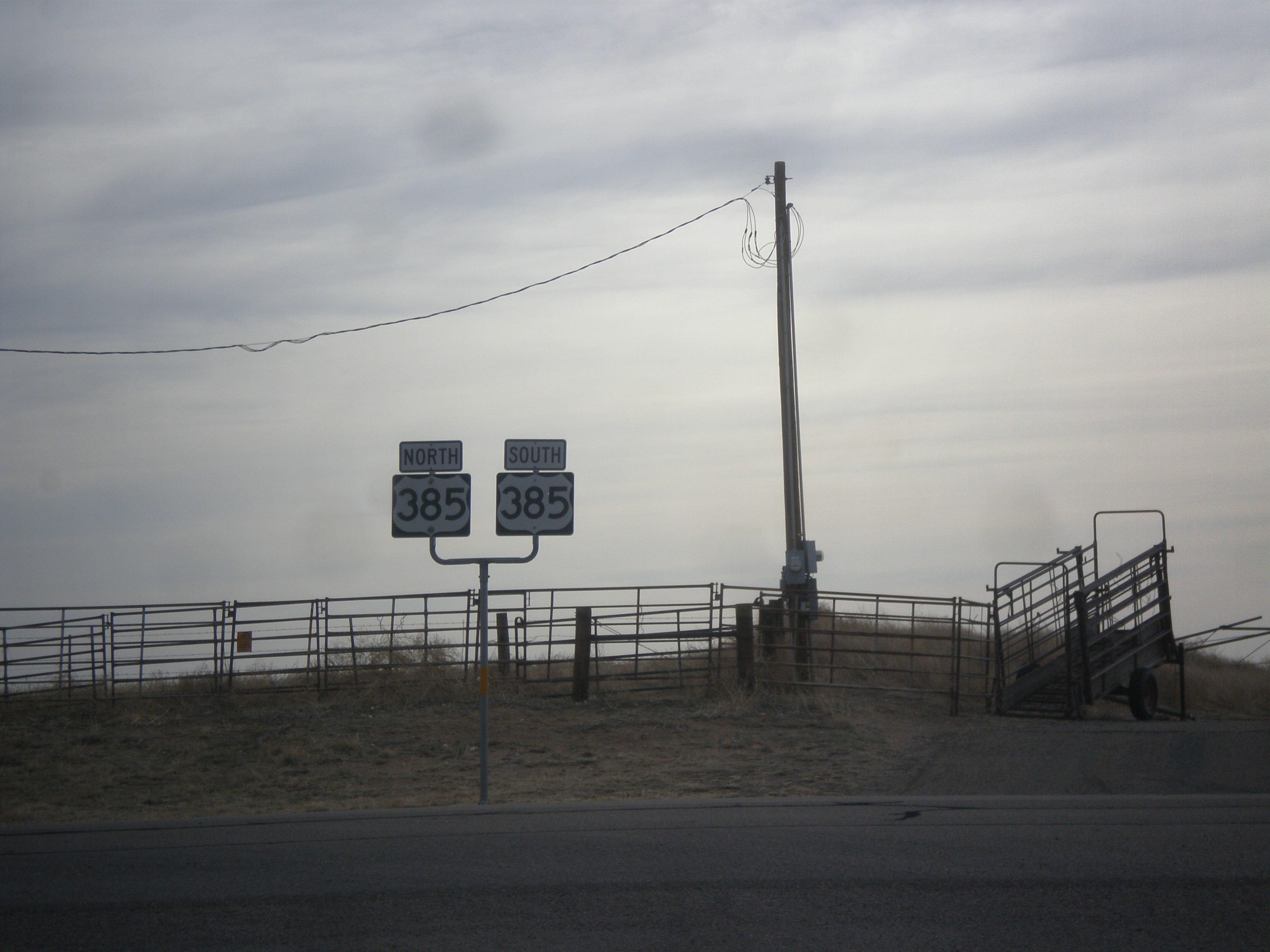
End FM-296 East at US-385
FM-296 East Approaching US-385

Traveling across the Texas Panhandle
Topographic Map of US-, Dalhart, TX, USA
Find elevation by address:

Places near US-, Dalhart, TX, USA:
Dallam County
Margaret Ave, Dalhart, TX, USA
Dalhart
Stratford
Hartley
Hartley County
Sherman County
Lollis Dr, Dumas, TX, USA
Channing
Rosine Ave, Channing, TX, USA
Dumas
Texhoma
S 2nd St, Texhoma, OK, USA
Moore County
Cemetery Road
Boys Ranch
Masterson
Oldham County
Hansford County
Potter County
Recent Searches:
- Elevation of 24 Oakland Rd #, Scotland, ON N0E 1R0, Canada
- Elevation of Deep Gap Farm Rd E, Mill Spring, NC, USA
- Elevation of Dog Leg Dr, Minden, NV, USA
- Elevation of Dog Leg Dr, Minden, NV, USA
- Elevation of Kambingan Sa Pansol Atbp., Purok 7 Pansol, Candaba, Pampanga, Philippines
- Elevation of Pinewood Dr, New Bern, NC, USA
- Elevation of Mountain View, CA, USA
- Elevation of Foligno, Province of Perugia, Italy
- Elevation of Blauwestad, Netherlands
- Elevation of Bella Terra Blvd, Estero, FL, USA