Elevation of US-, Coleville, CA, USA
Location: United States > California > Mono County > Coleville >
Longitude: -119.47598
Latitude: 38.514327
Elevation: 1650m / 5413feet
Barometric Pressure: 83KPa
Elevation Map:
Satellite Map:
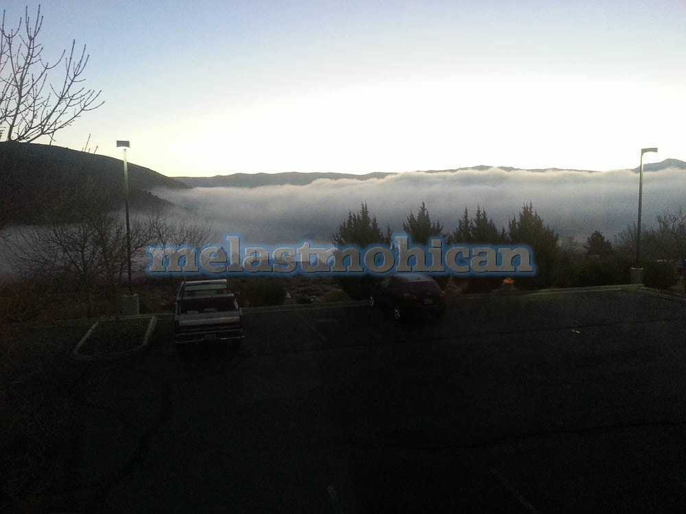
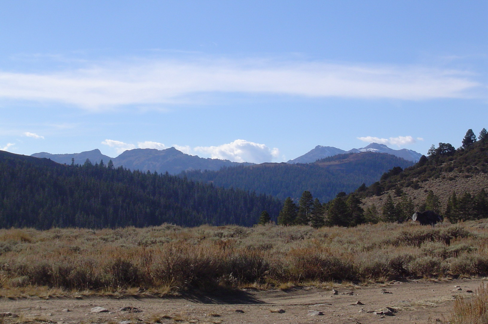
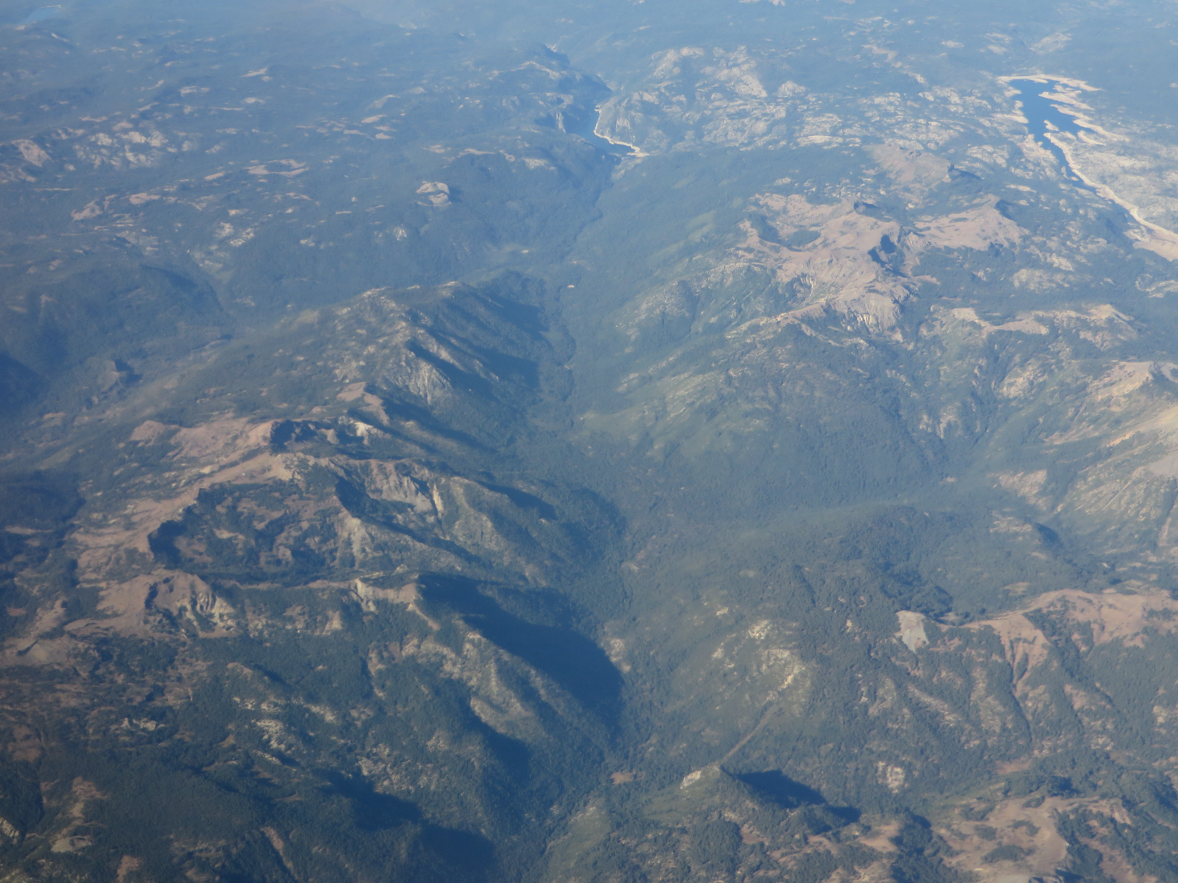
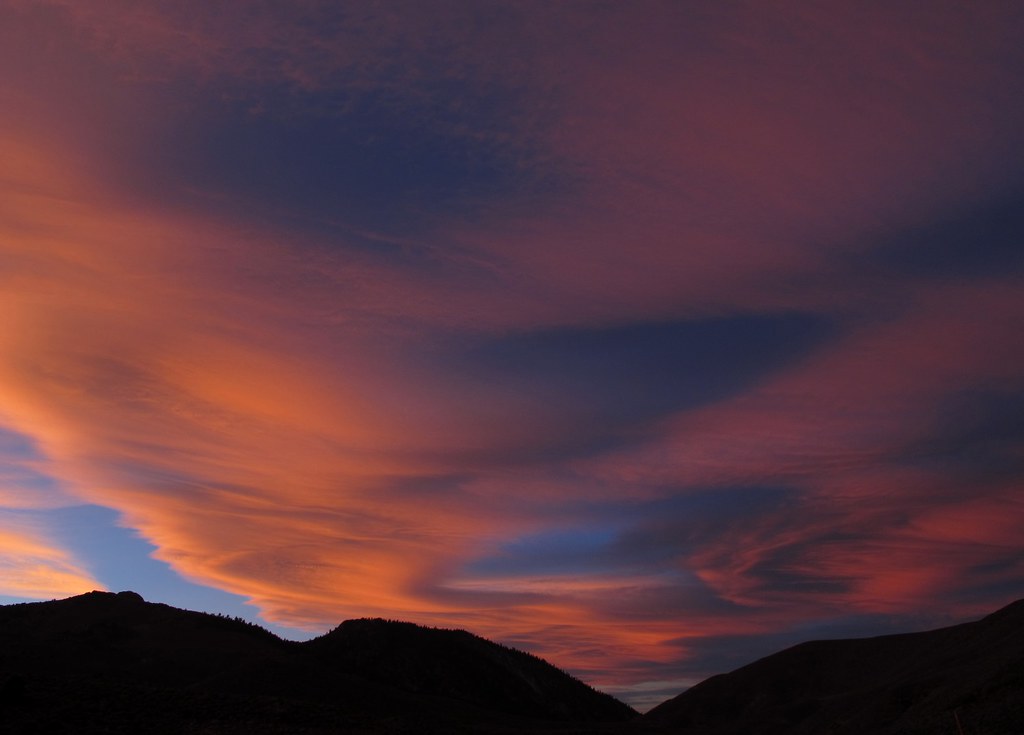
Related Photos:
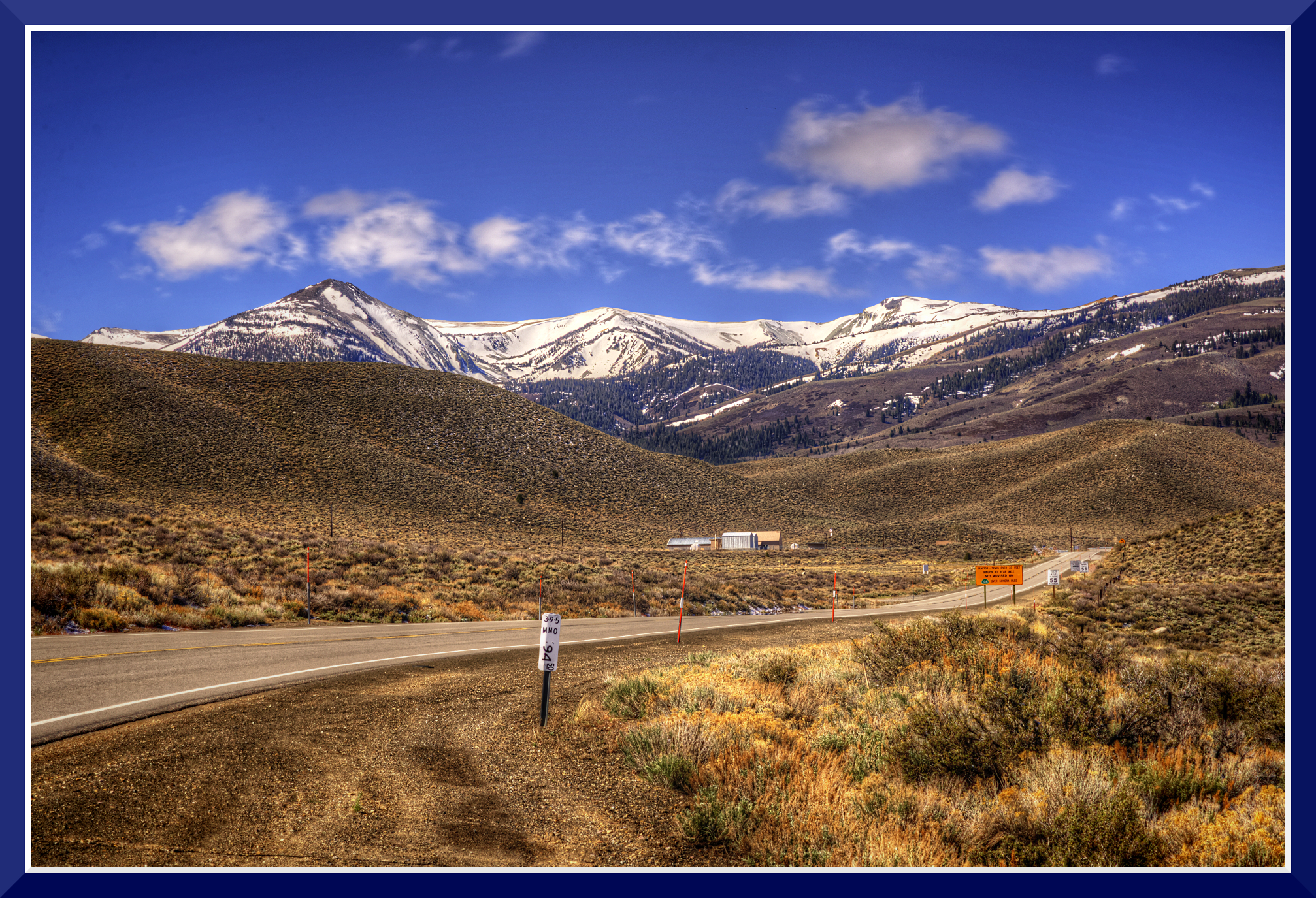
Day-1: 94MillMarker_2510d
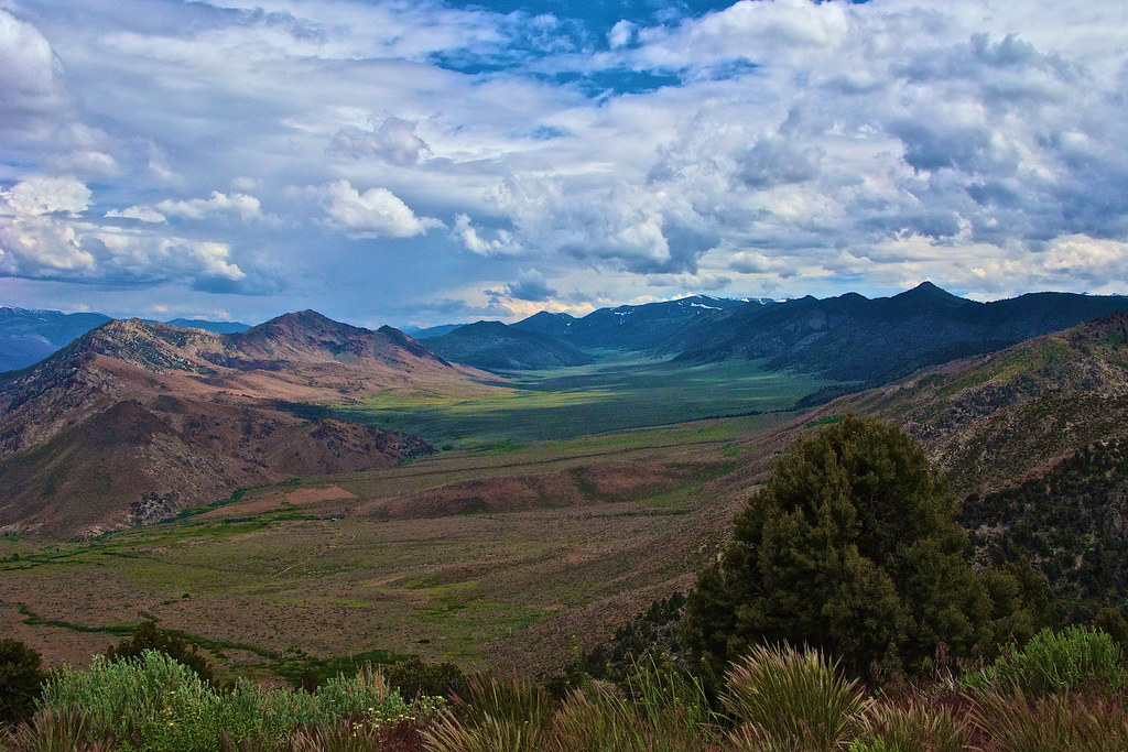
View from HWY98, CA_1
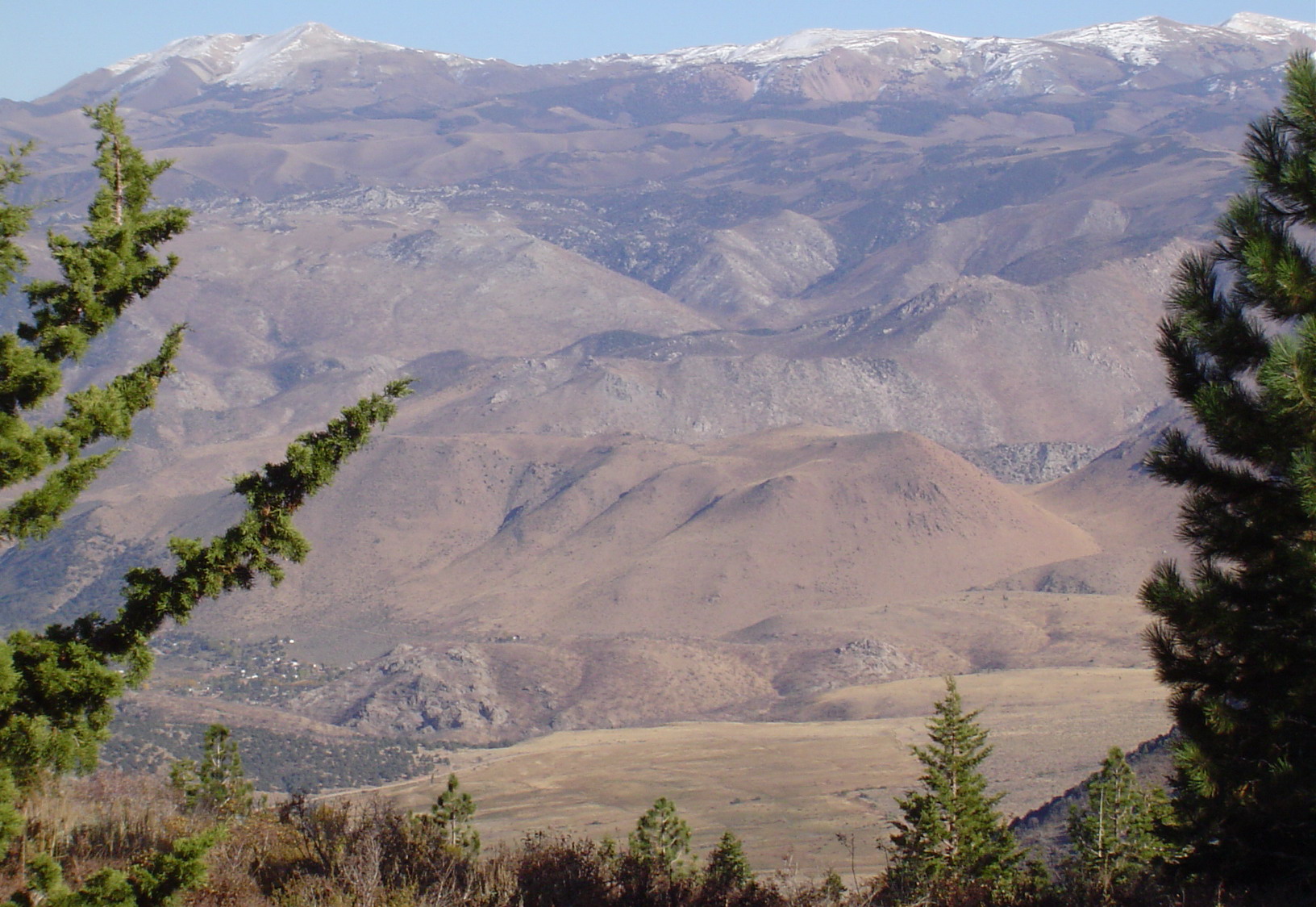
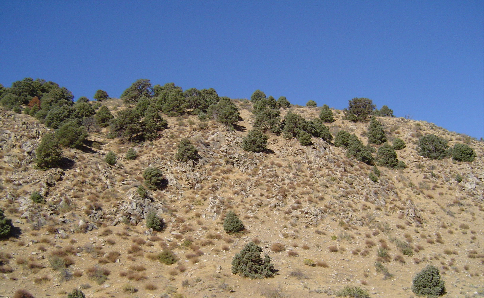
East View of Neighboring Mountain and Valley Telephotoed from Mountain Peak
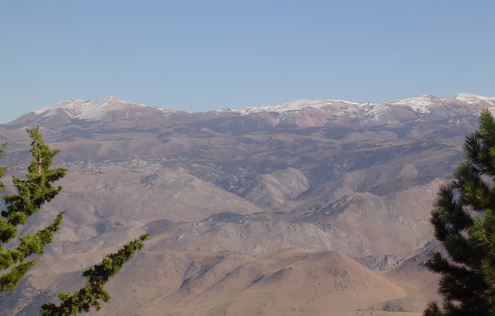
East View of Neighboring Range Telephotoed from Mountain Peak
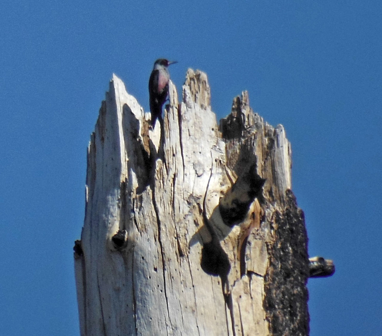
Lewis's Woodpecker and nest hole

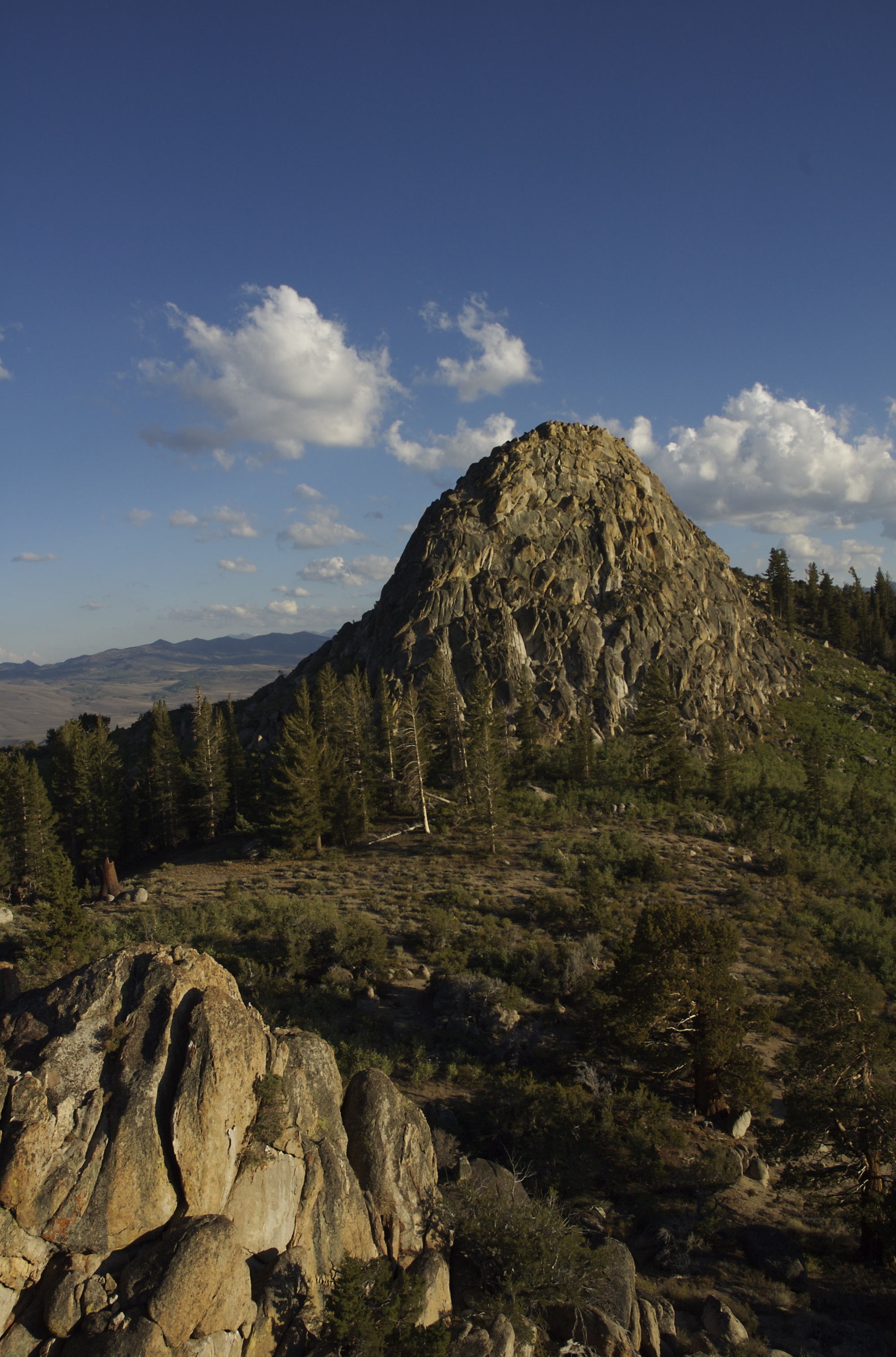
Centennial Bluff
View West from the House
Topaz Lake
East View of Neighboring Range from Mountain Peak

The 89 Climb
Topaz Lake
West View from the Mountain Peak
Sonora Pass, California
Look Up and Wow...

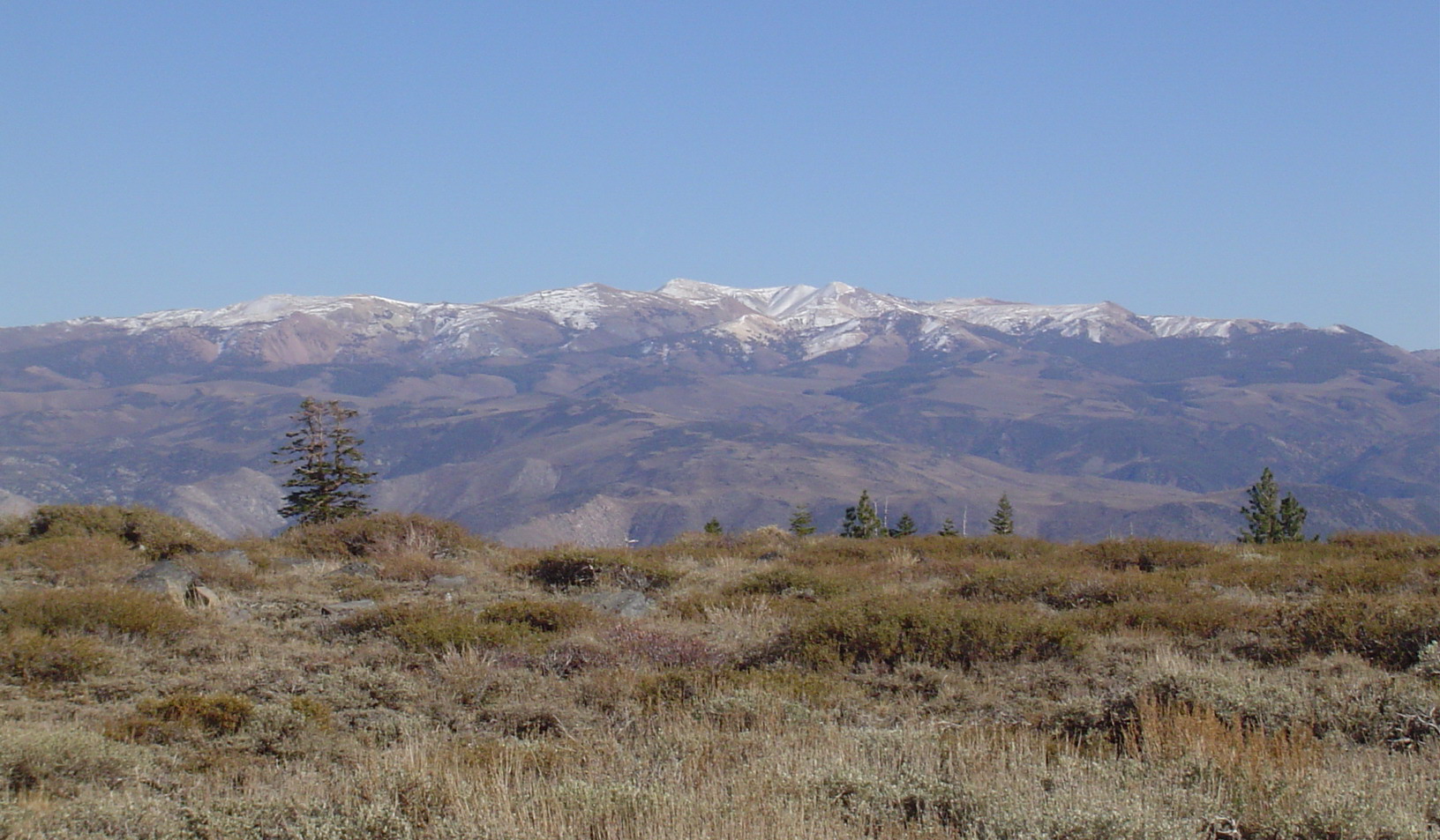
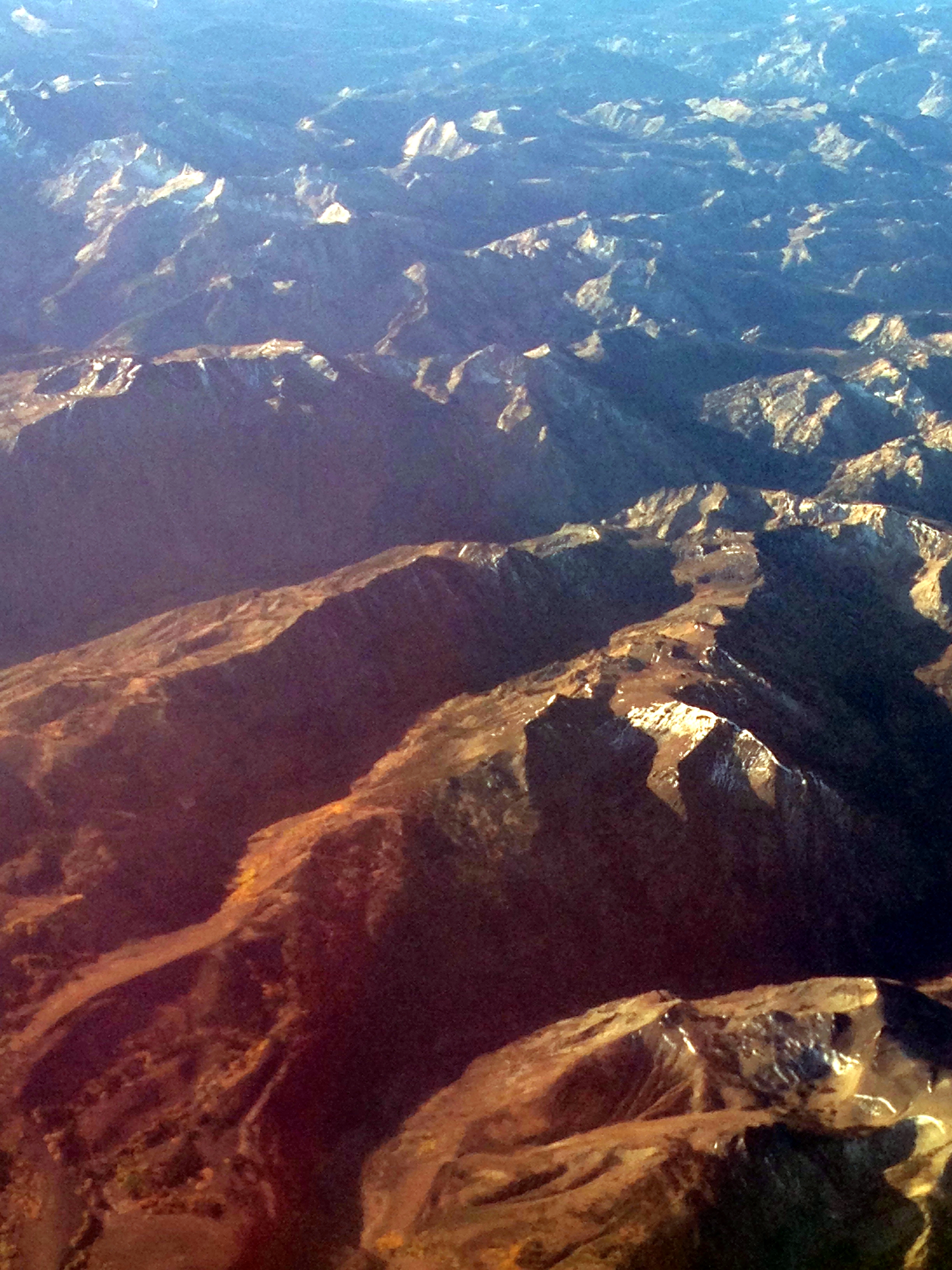
Aerial View of Eastern Sierra
Road Trip View
Lake Tahoe
Lake Tahoe

The 89 Climb
View SE from the House
Lake Tahoe

395 to Bridgeport

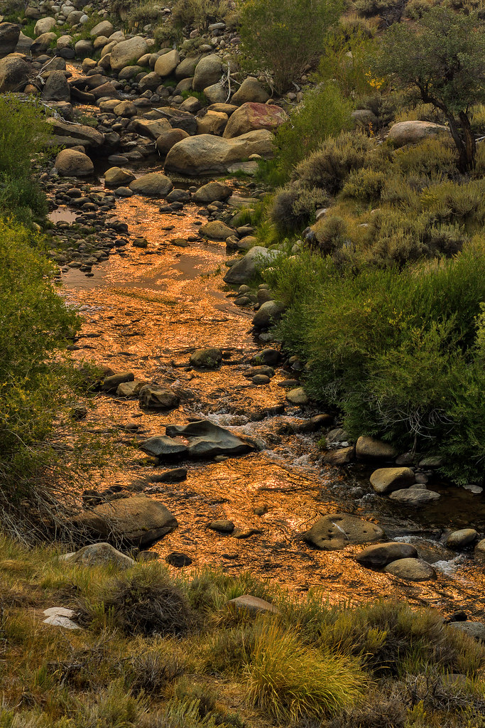
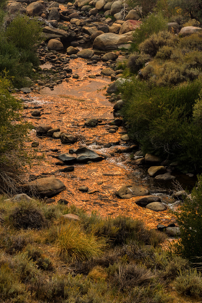
Mill Canyon Creek
Rocky Stream

Mill Canyon Creek
Walker River
eastern sierra road trip
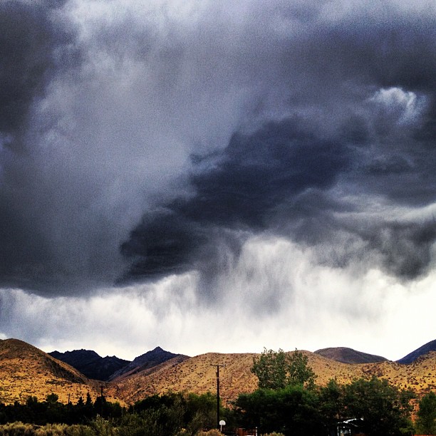
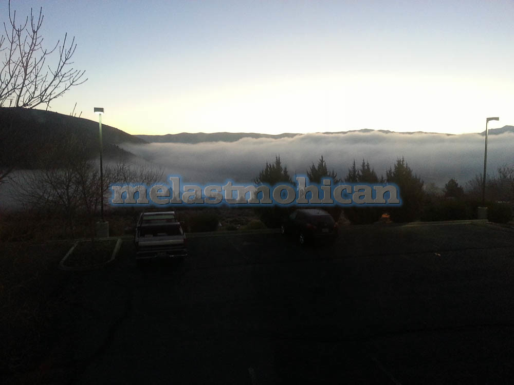
haven't seen water from above in a while! #rain #roadtrip #cloudporn
Camera Roll-22
Some mountain
Gold River
Gold River
Dec 23, 2008
01242008(007)
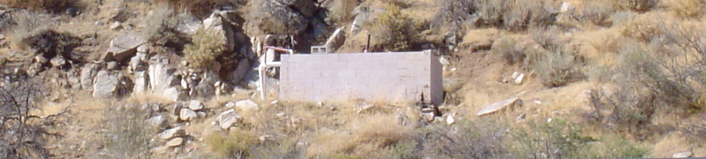
Hot Spring Well for House Hot Water
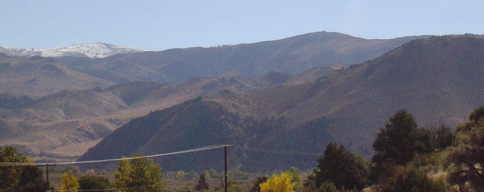
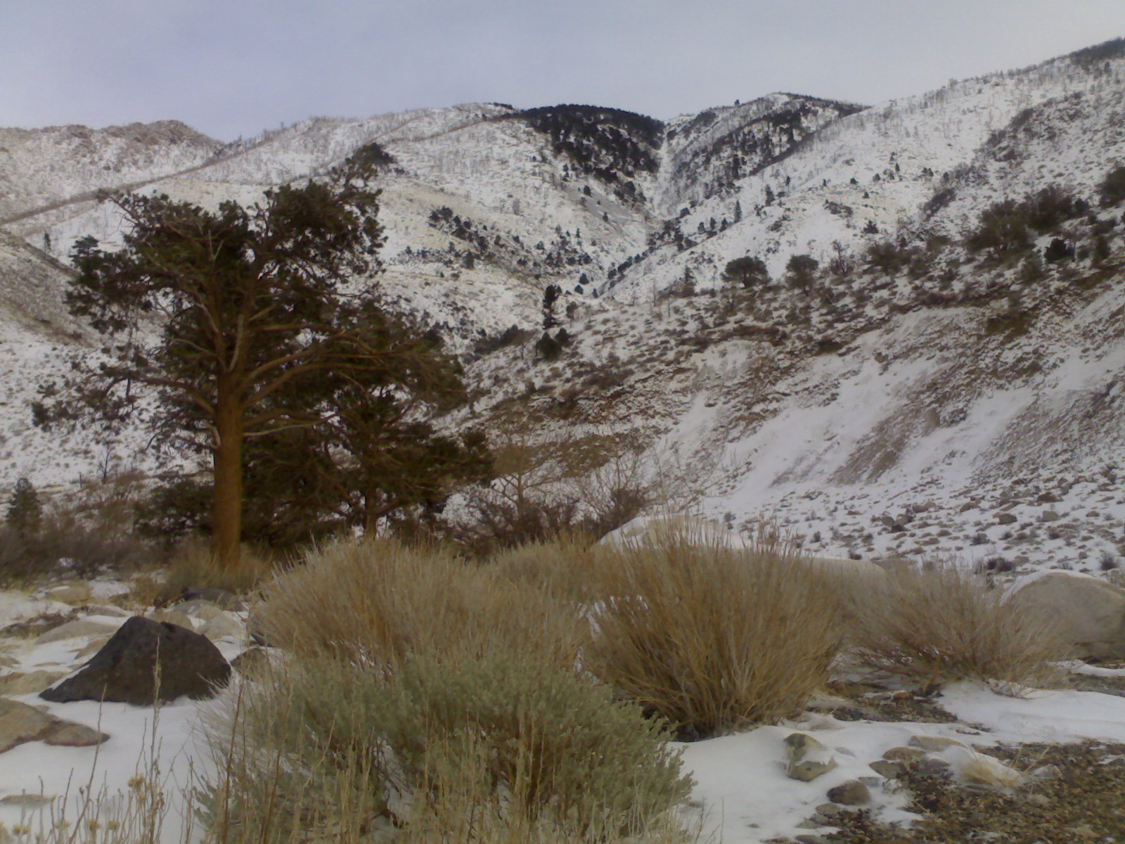
SW Mountain Range with Power Lines
Topographic Map of US-, Coleville, CA, USA
Find elevation by address:

Places near US-, Coleville, CA, USA:
39 Lone Company Rd
801 Larson Ln
Coleville
Bootleg Campground
11 Topaz Ln, Topaz, CA, USA
Topaz
US-, Coleville, CA, USA
Sonora Junction
Mount Patterson
Bush Mountain
Wheeler Peak
3830 Slate Ct
Spatter Cone Road
Mount Emma
1200 Spatter Cone Rd
Wellington
Rickey Peak
Walker Mountain
Hanging Valley Ridge
483 Hudson Aurora Rd
Recent Searches:
- Elevation of Crocker Dr, Vacaville, CA, USA
- Elevation of Pu Ngaol Community Meeting Hall, HWHM+3X7, Krong Saen Monourom, Cambodia
- Elevation of Royal Ontario Museum, Queens Park, Toronto, ON M5S 2C6, Canada
- Elevation of Groblershoop, South Africa
- Elevation of Power Generation Enterprises | Industrial Diesel Generators, Oak Ave, Canyon Country, CA, USA
- Elevation of Chesaw Rd, Oroville, WA, USA
- Elevation of N, Mt Pleasant, UT, USA
- Elevation of 6 Rue Jules Ferry, Beausoleil, France
- Elevation of Sattva Horizon, 4JC6+G9P, Vinayak Nagar, Kattigenahalli, Bengaluru, Karnataka, India
- Elevation of Great Brook Sports, Gold Star Hwy, Groton, CT, USA