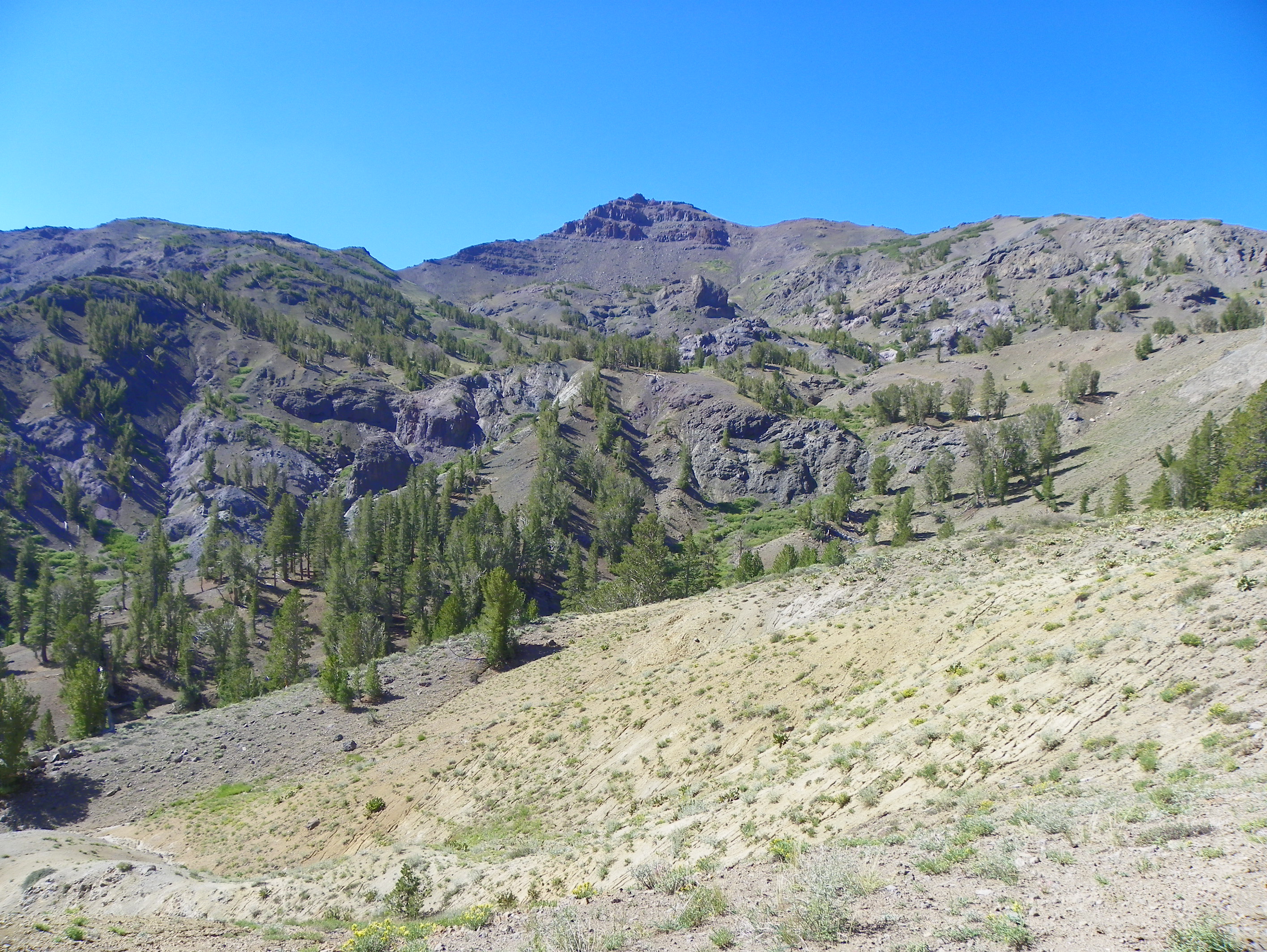
Elevation of Mount Emma, Mt Emma, California, USA
Location: United States > California > Mono County > Bridgeport >
Longitude: -119.47627
Latitude: 38.2771385
Elevation: 3134m / 10282feet
Barometric Pressure: 69KPa
Elevation Map:
Satellite Map:
Related Photos:
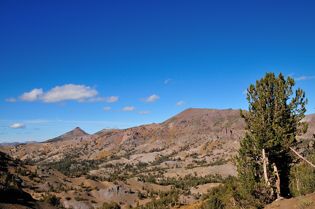
In wilderness I sense the miracle of life, and behind it our scientific accomplishments fade to trivia…
Nature, to be commanded, must be obeyed…

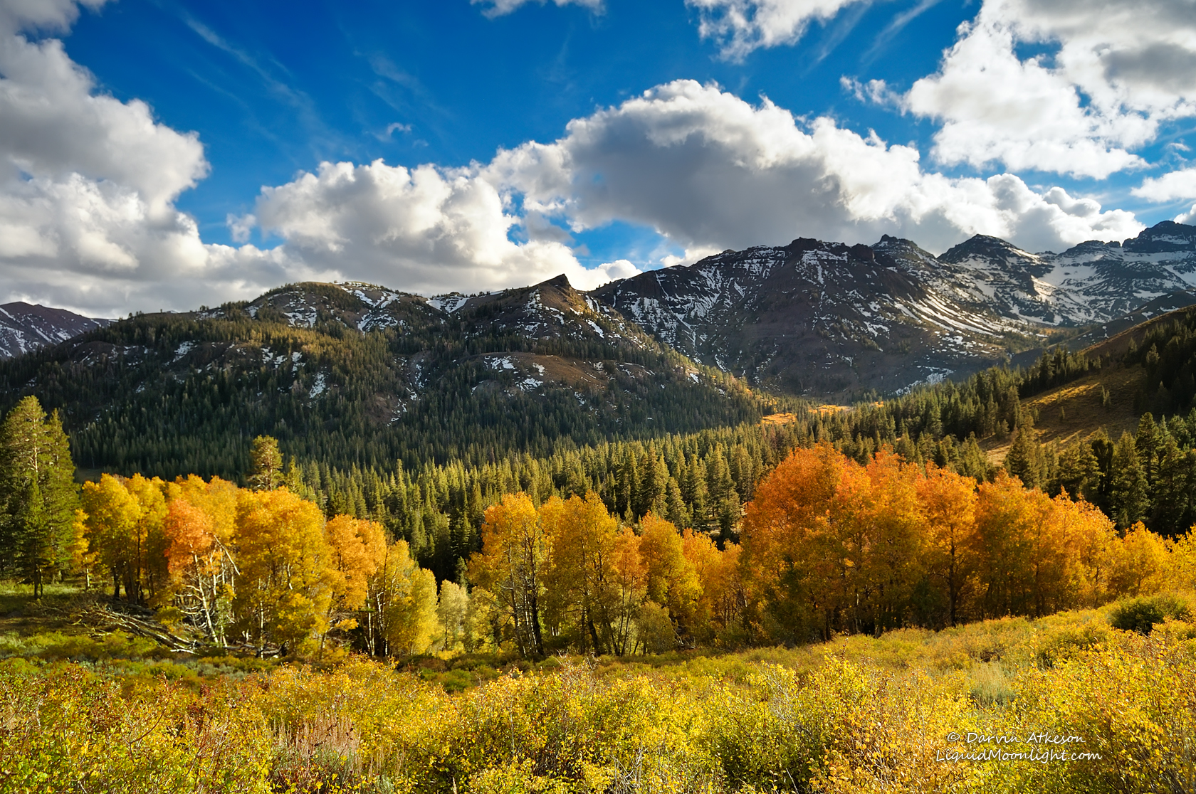
The Stanislaus River by Fall
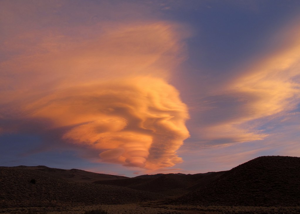
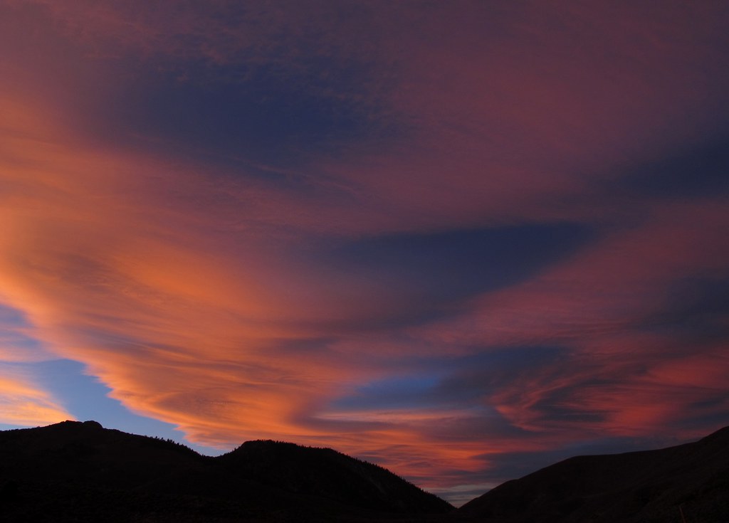
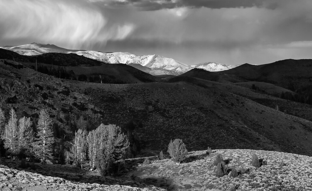
Otherworldly Phenomenon
Light Dances on the Peaks of Sonora Pass
Look Up and Wow...

United States Marine Corps Mountain Warfare Training Center - h
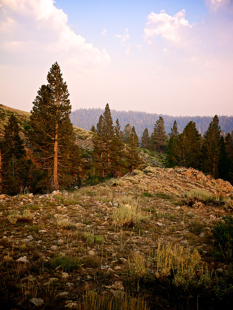
Another View From My Campsite
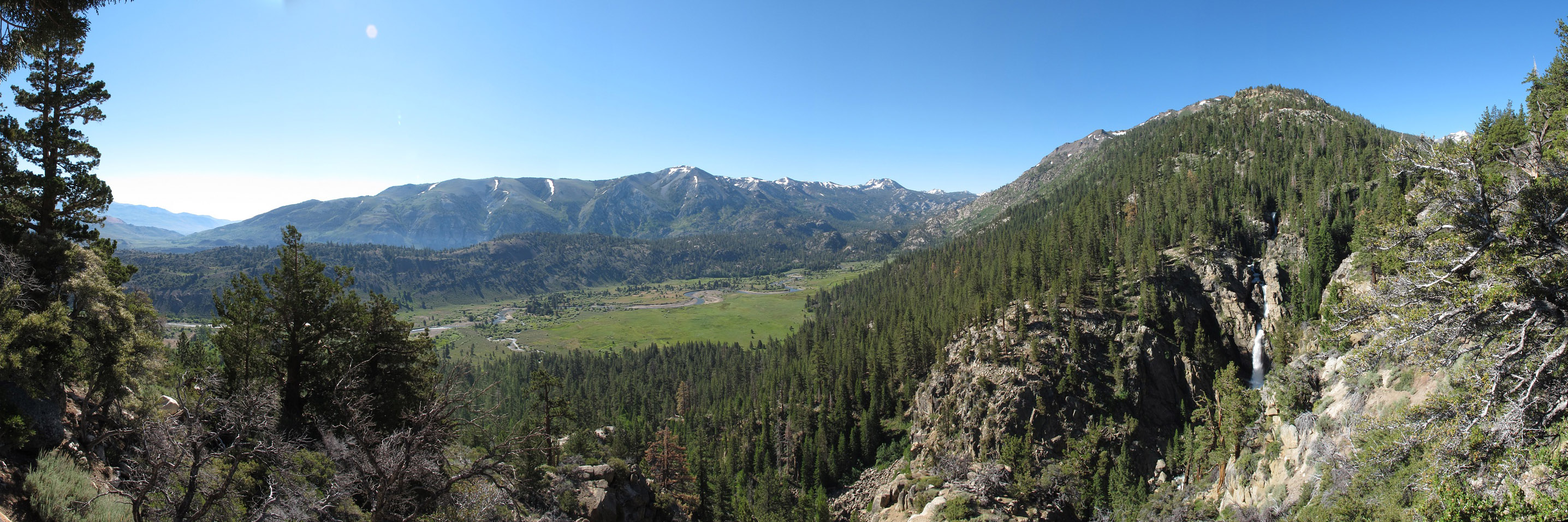
Levitt Falls Pano
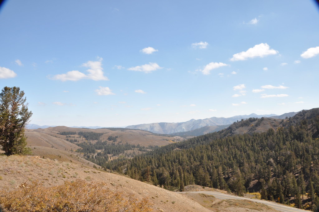
A beautiful view near the Sonora Pass
Crag & Meadow
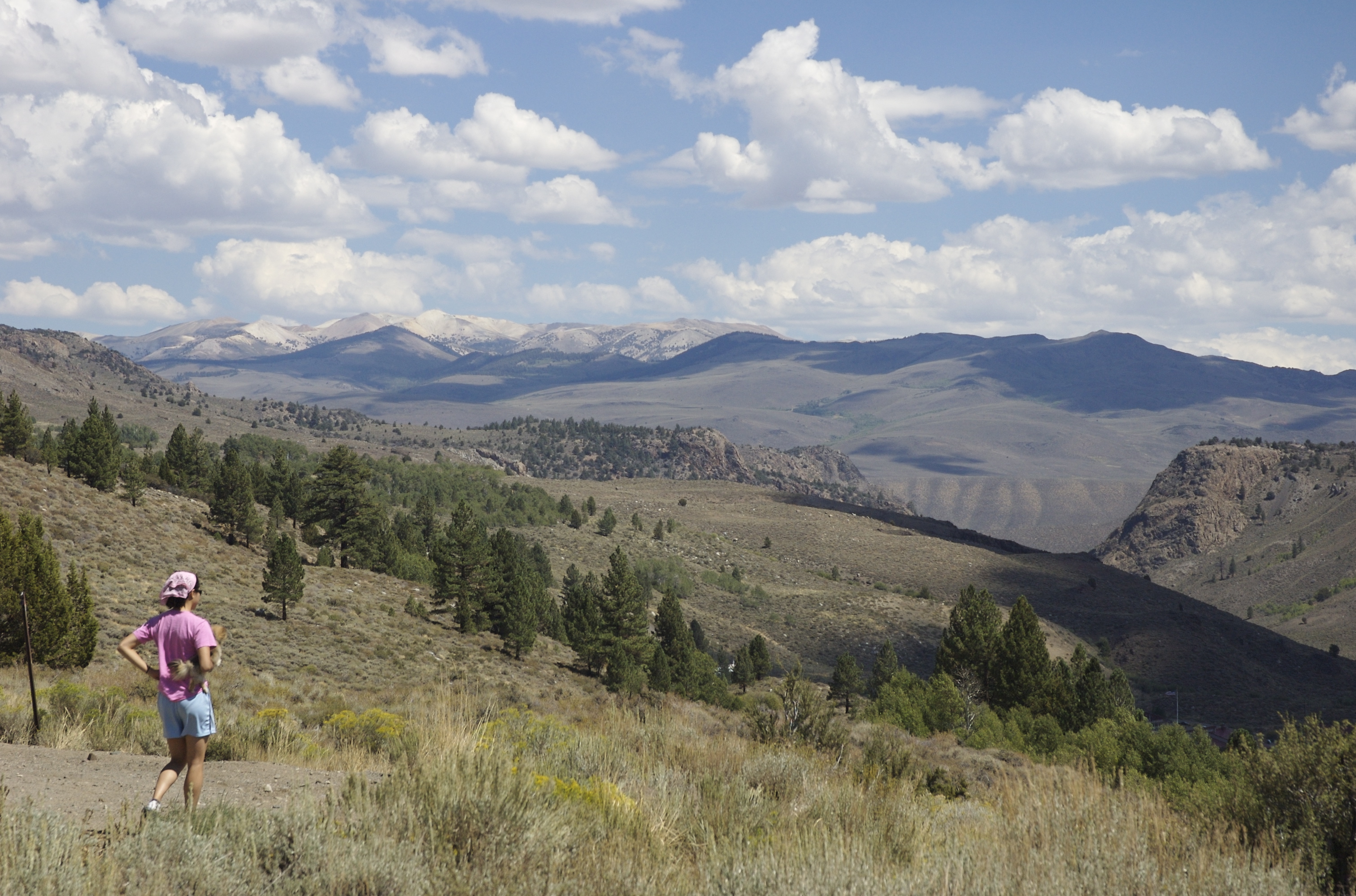
Nice view
Mountain view

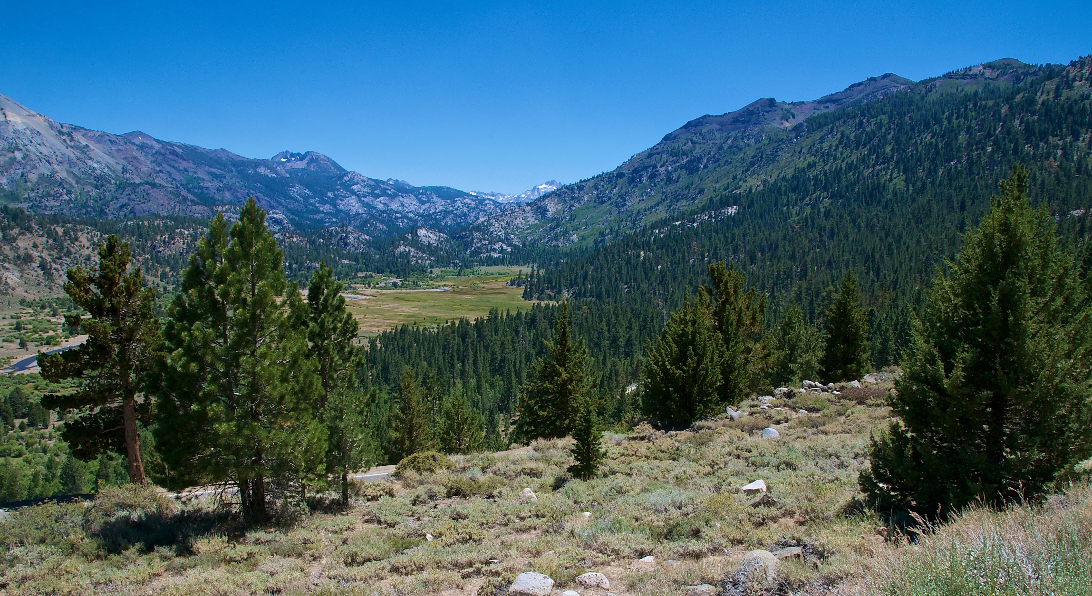
Heading towards Robinson Creek
Standing at the top of the world.
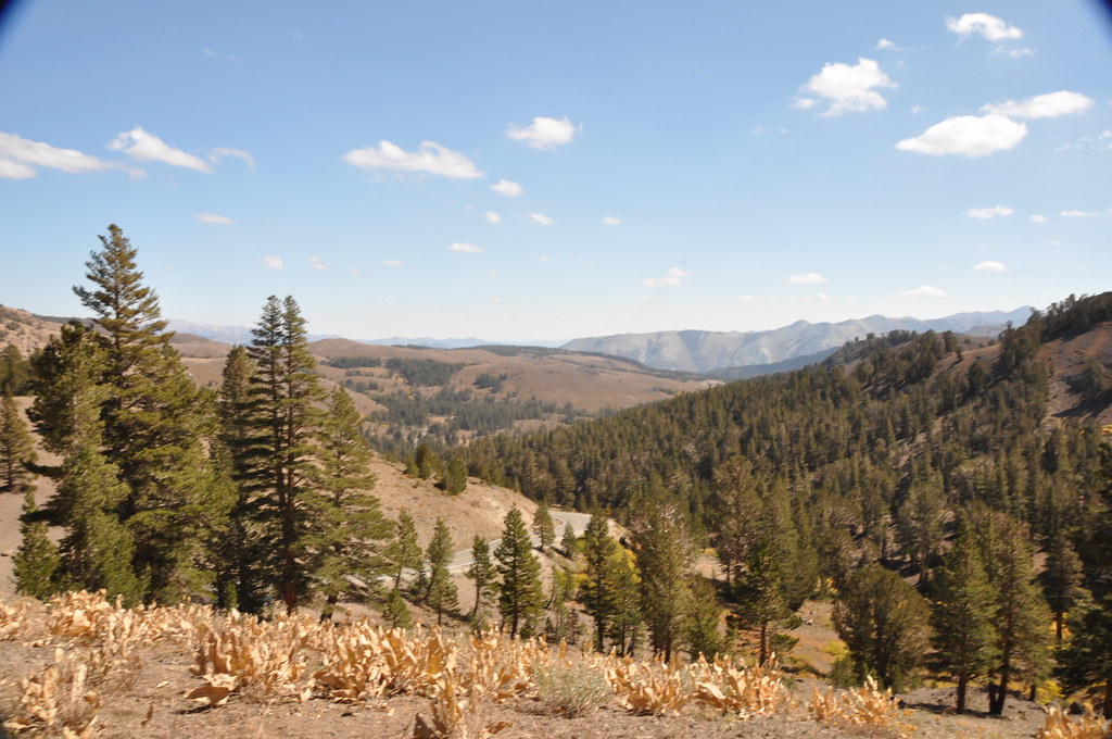
Sonora Pass
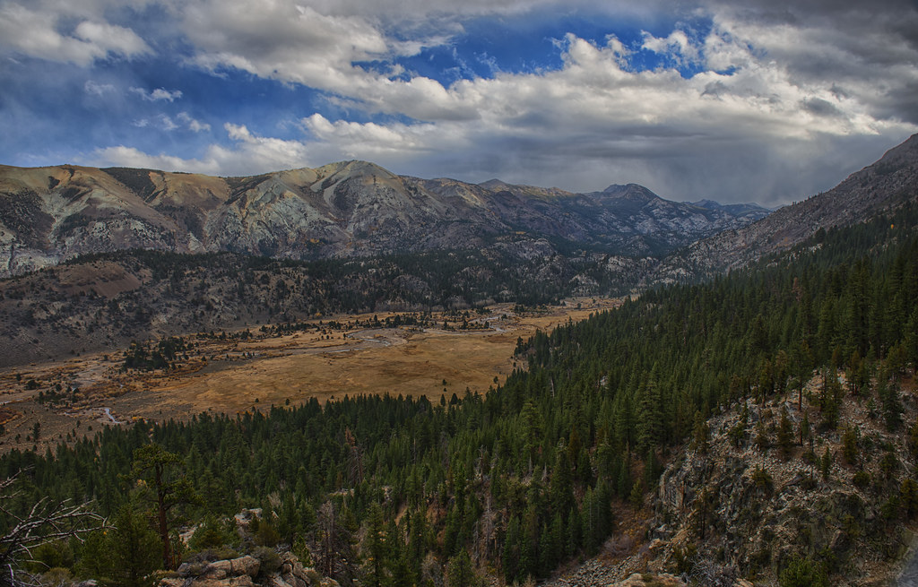
Sonora Pass, California
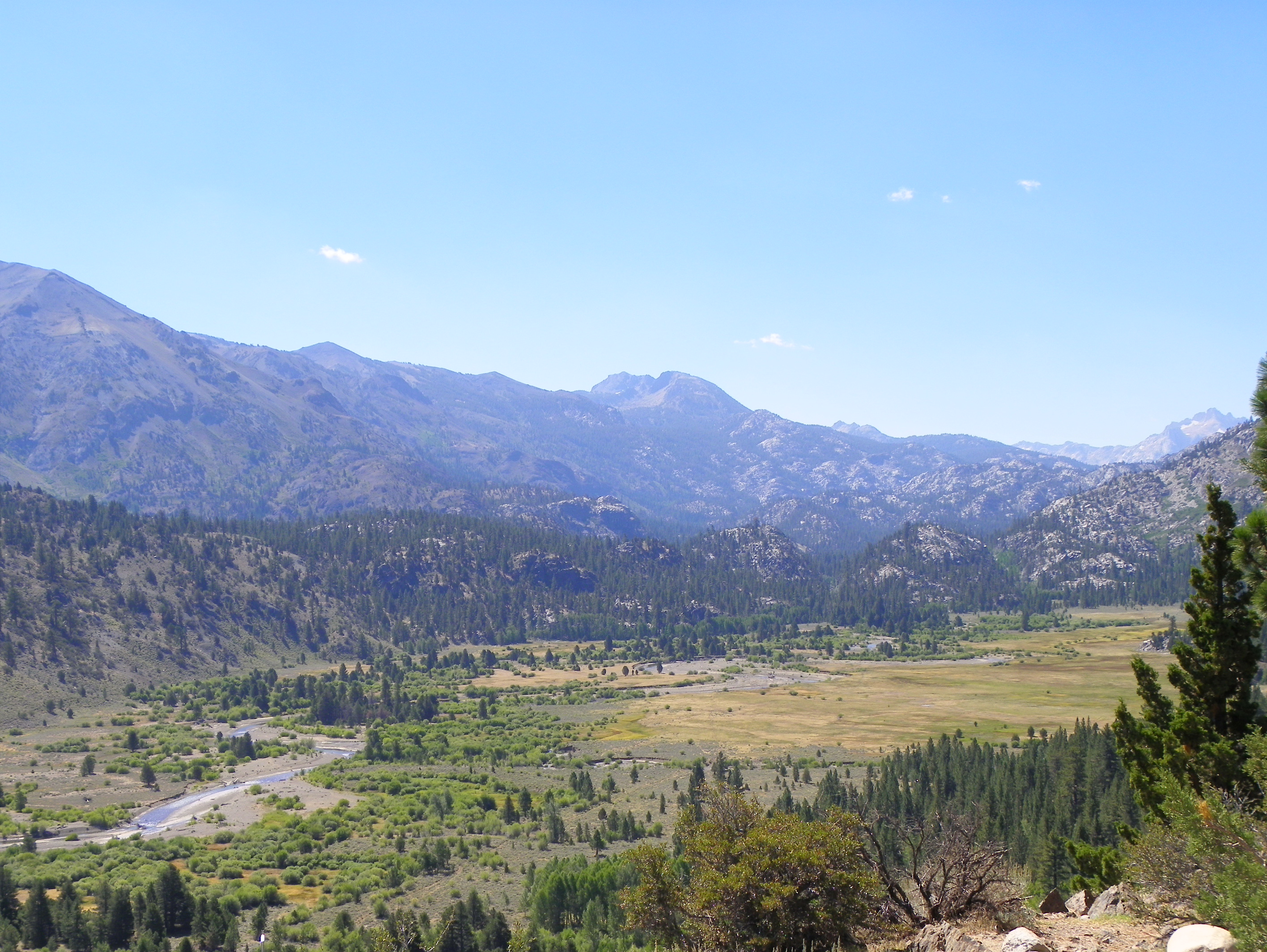
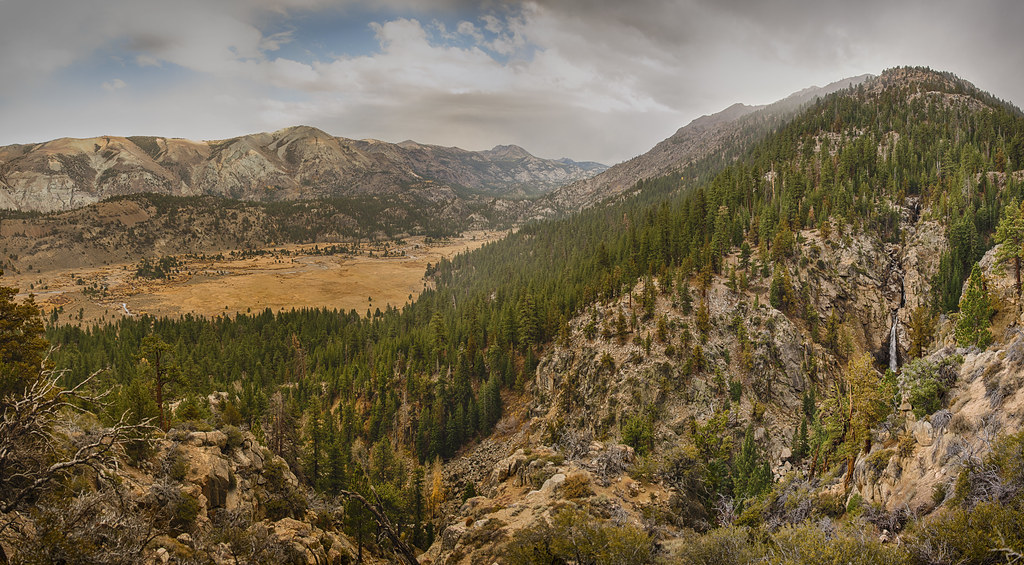
Kennedy Meadow and Sierra Mountain view below Sonora Pass
Sonora Pass, California - h
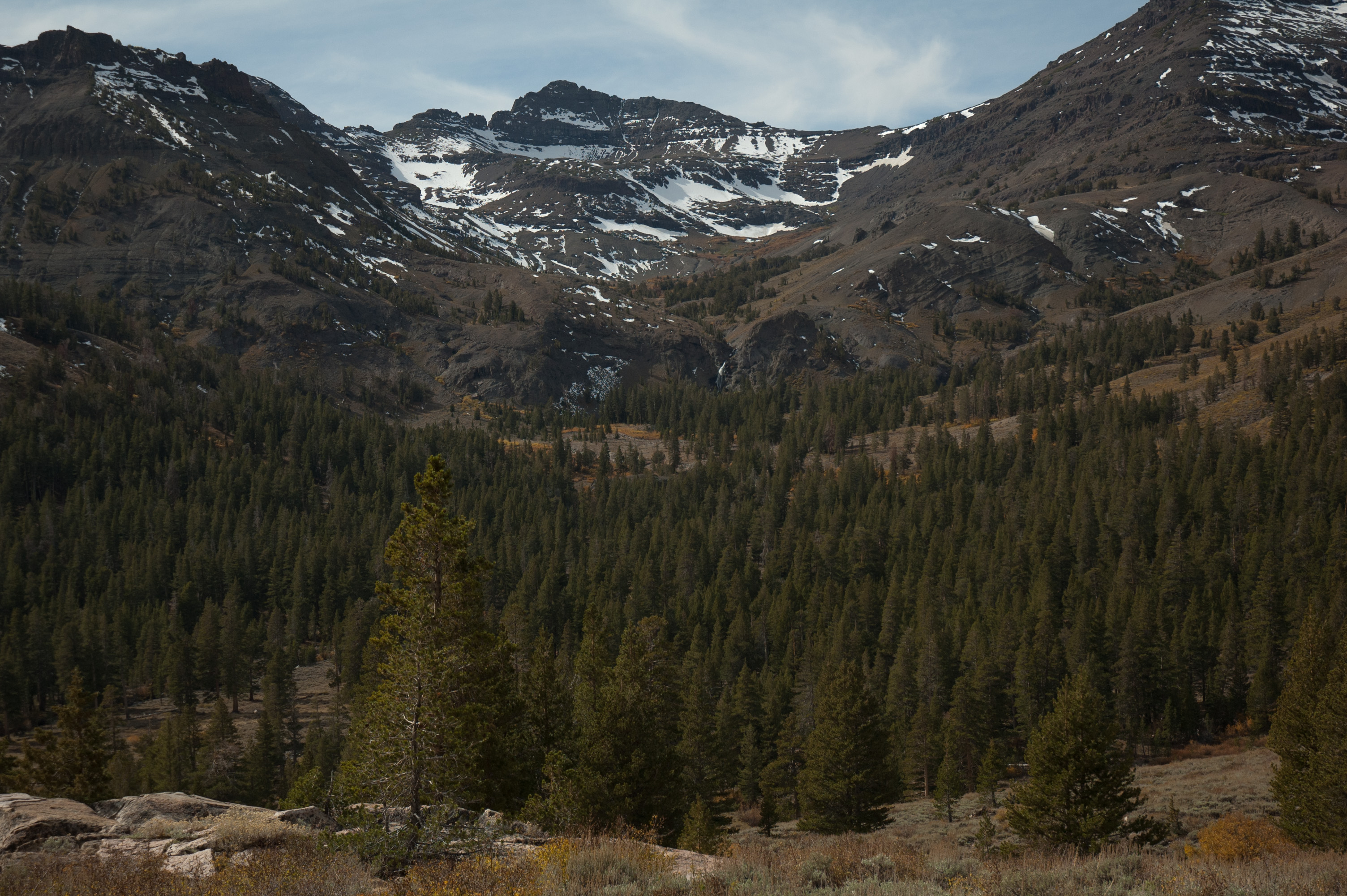
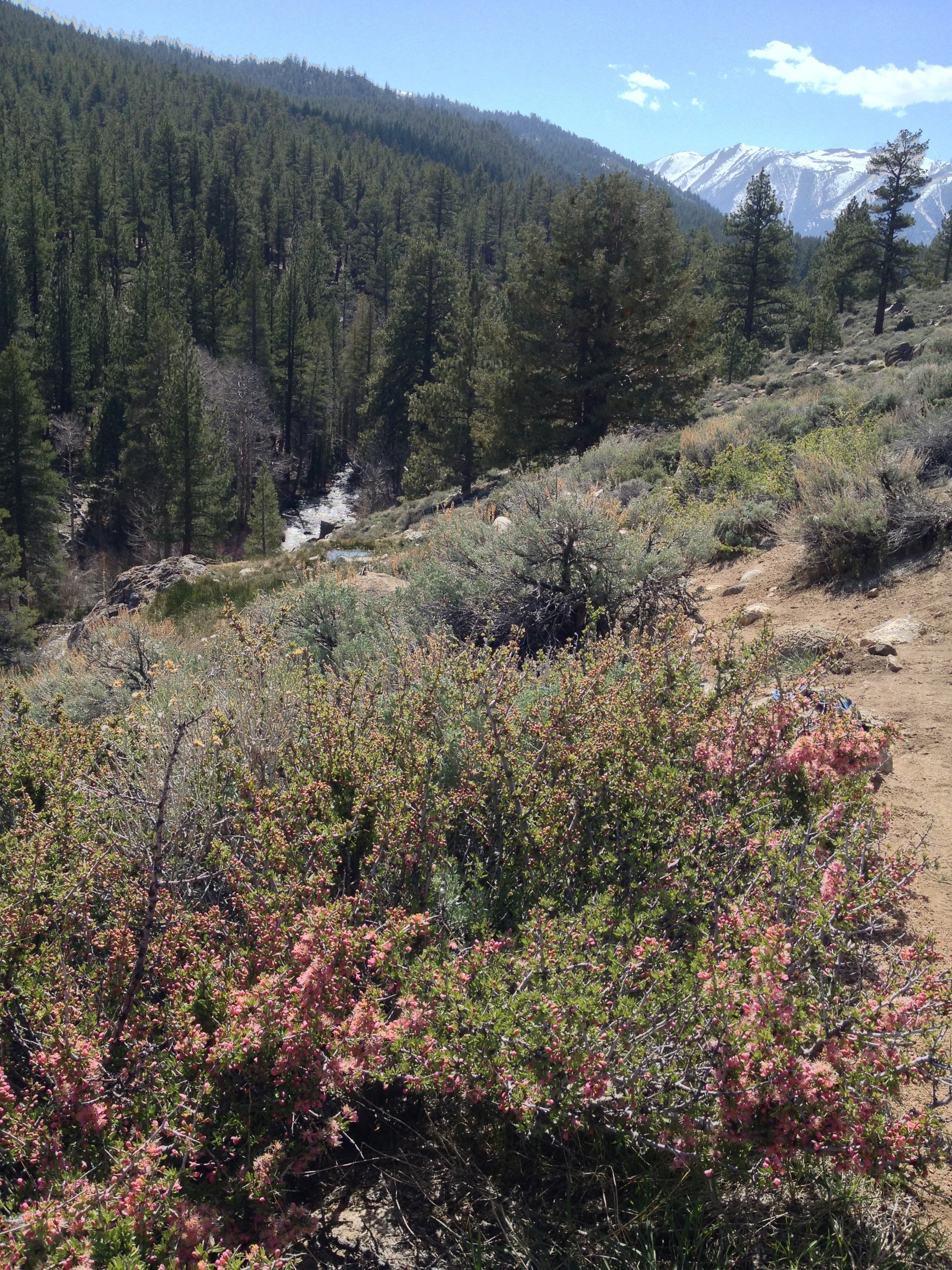
View from the Pacific Crest Trail

a1988-09-27
Topographic Map of Mount Emma, Mt Emma, California, USA
Find elevation by address:

Places near Mount Emma, Mt Emma, California, USA:
Walker Mountain
Hanging Valley Ridge
Sonora Junction
US-, Coleville, CA, USA
Bush Mountain
Rickey Peak
Eagle Peak
Hunewill Peak
Center Mountain
Bootleg Campground
Crown Point
Robinson Creek North
Slide Mountain
Suicide Ridge
Finger Peaks
Price Peak
Whorl Mountain
Monument Ridge
Mount Patterson
Wheeler Peak
Recent Searches:
- Elevation of Corso Fratelli Cairoli, 35, Macerata MC, Italy
- Elevation of Tallevast Rd, Sarasota, FL, USA
- Elevation of 4th St E, Sonoma, CA, USA
- Elevation of Black Hollow Rd, Pennsdale, PA, USA
- Elevation of Oakland Ave, Williamsport, PA, USA
- Elevation of Pedrógão Grande, Portugal
- Elevation of Klee Dr, Martinsburg, WV, USA
- Elevation of Via Roma, Pieranica CR, Italy
- Elevation of Tavkvetili Mountain, Georgia
- Elevation of Hartfords Bluff Cir, Mt Pleasant, SC, USA